 |
|
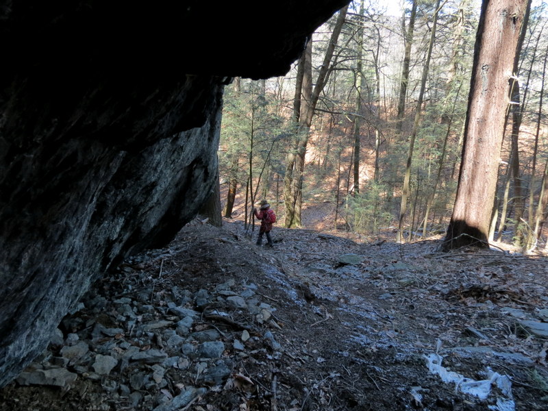
The last time we hiked this spectacular area was way back in 2007, nearly 9 years
ago, when this loop had just been blazed and before the current parking area existed. We thought it was time to return to take in the
amazing views once again.
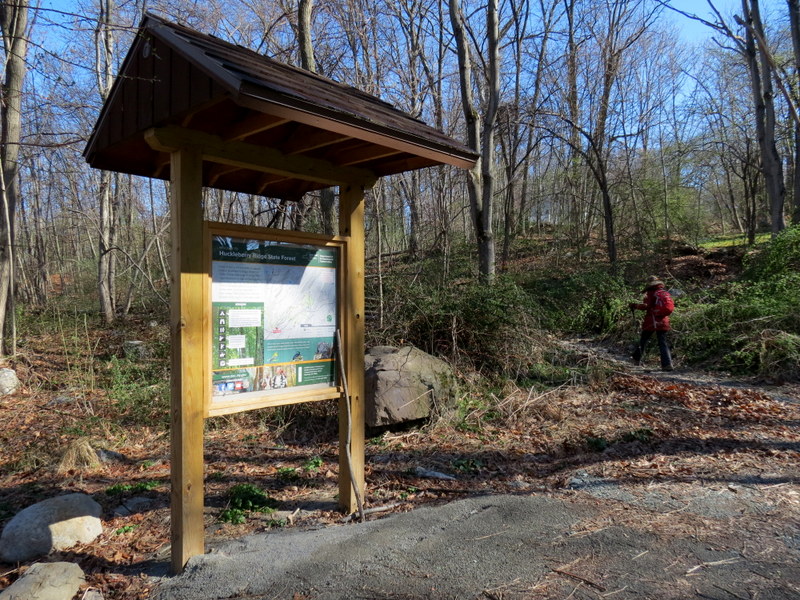
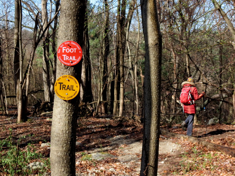
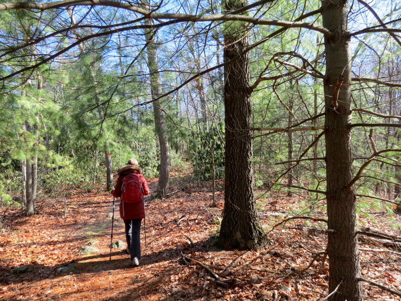
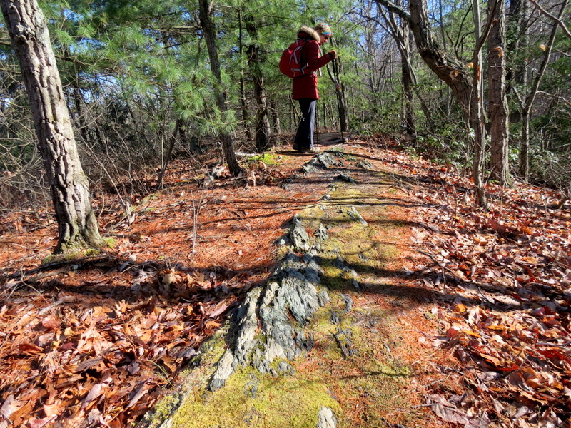
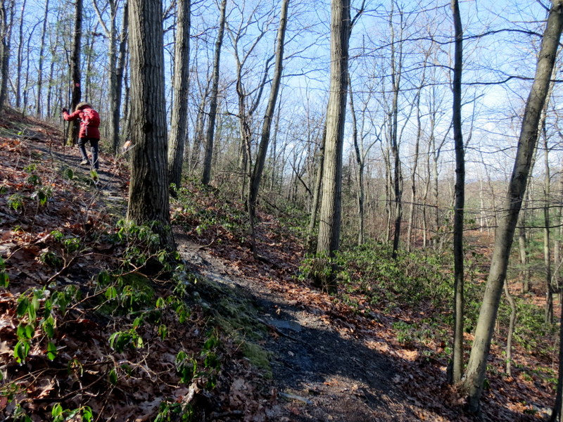
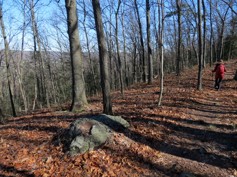
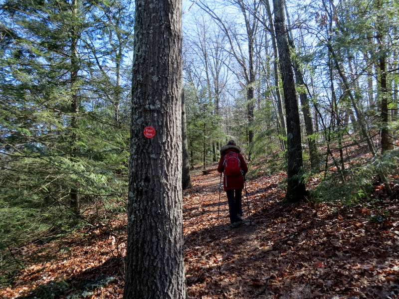
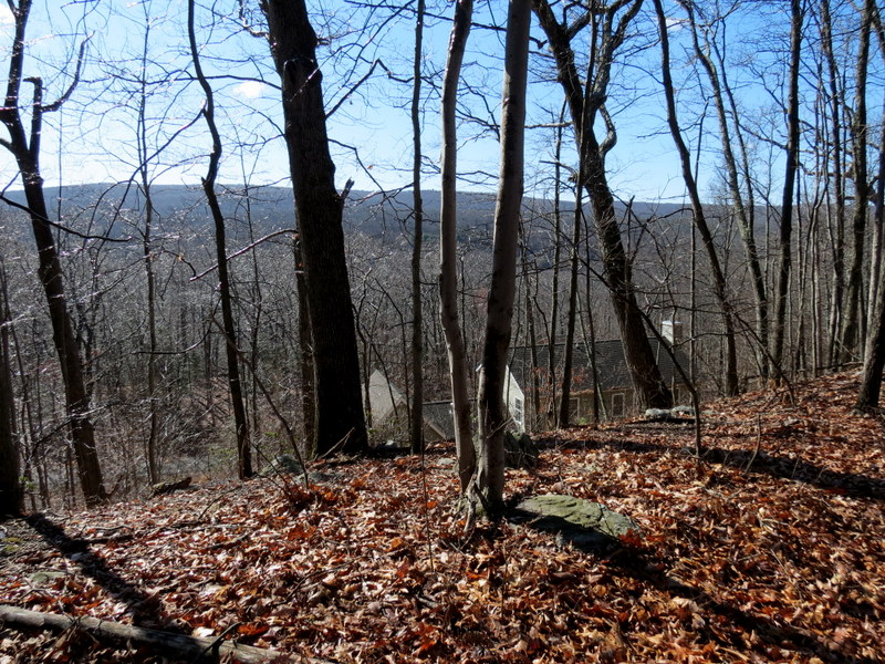
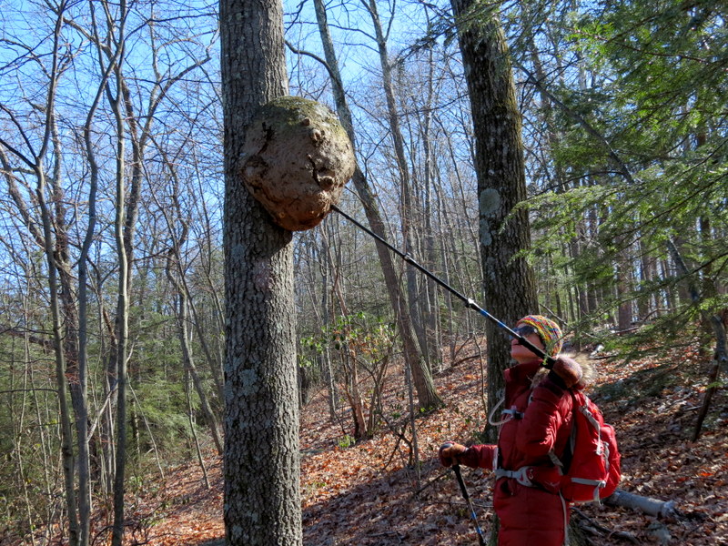
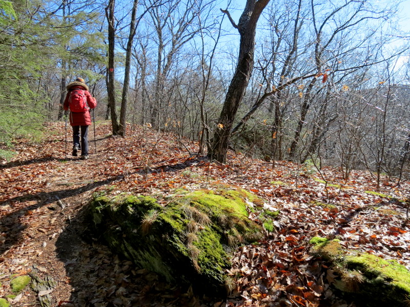
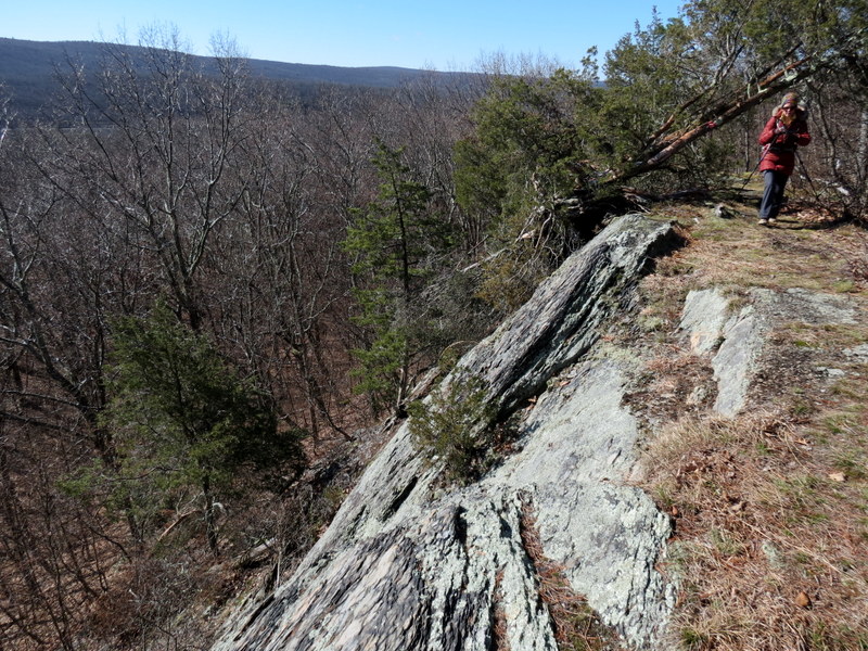
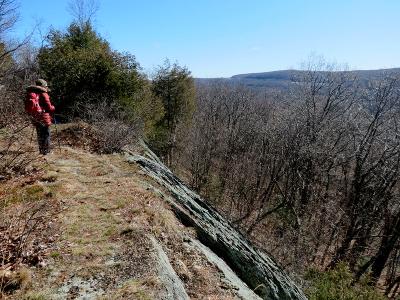
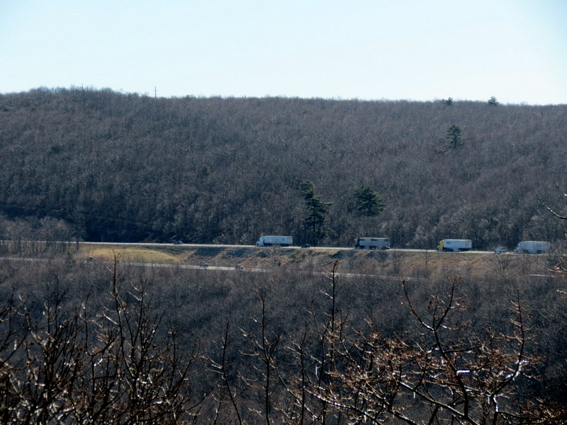
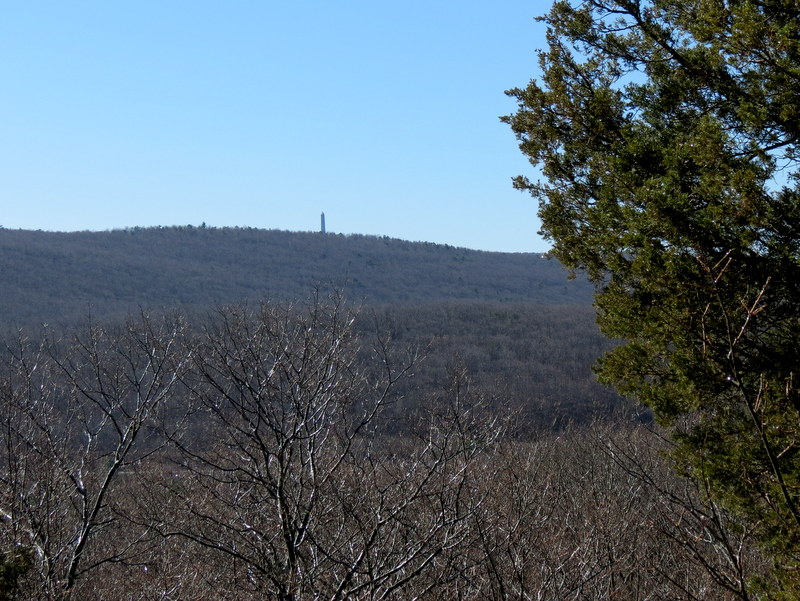
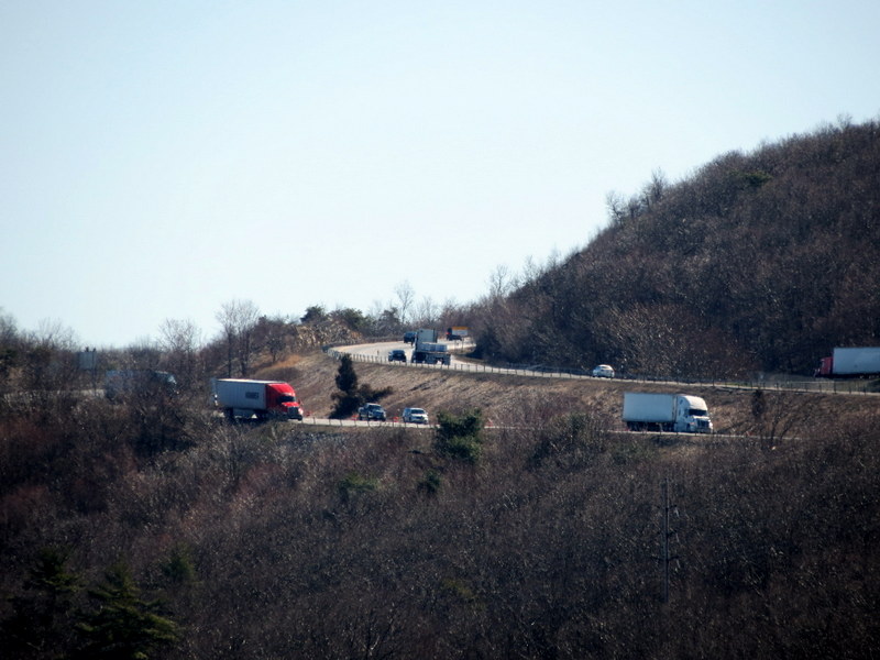
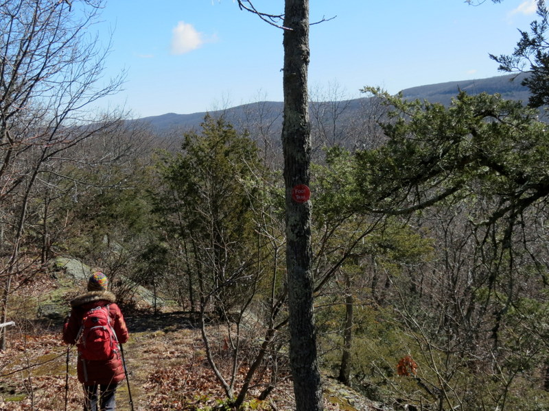
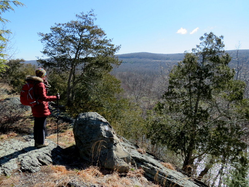
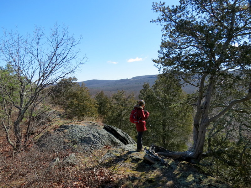
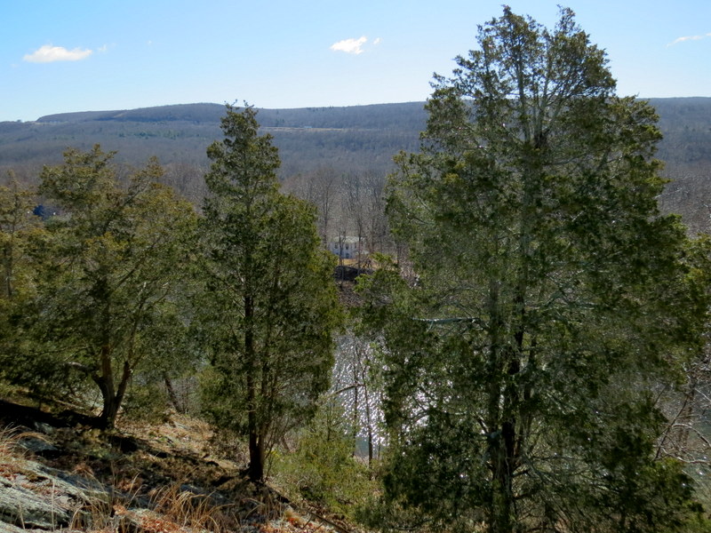
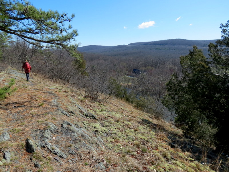
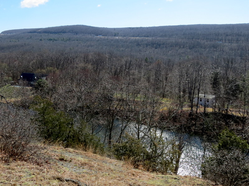
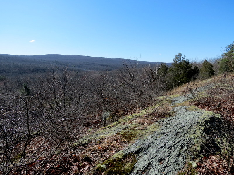
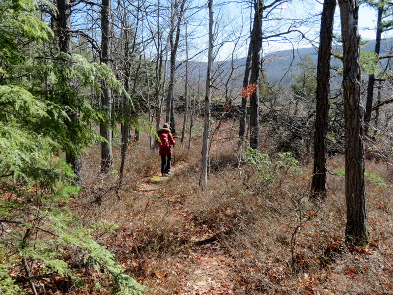
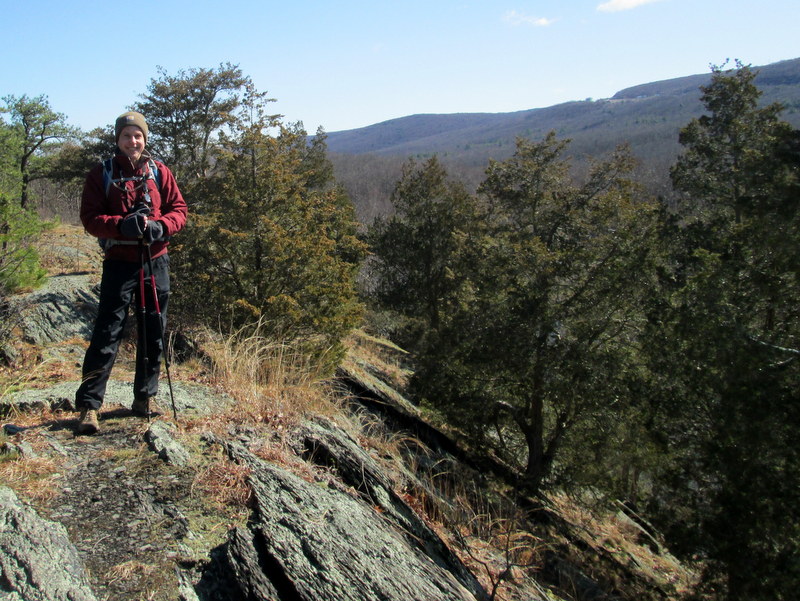
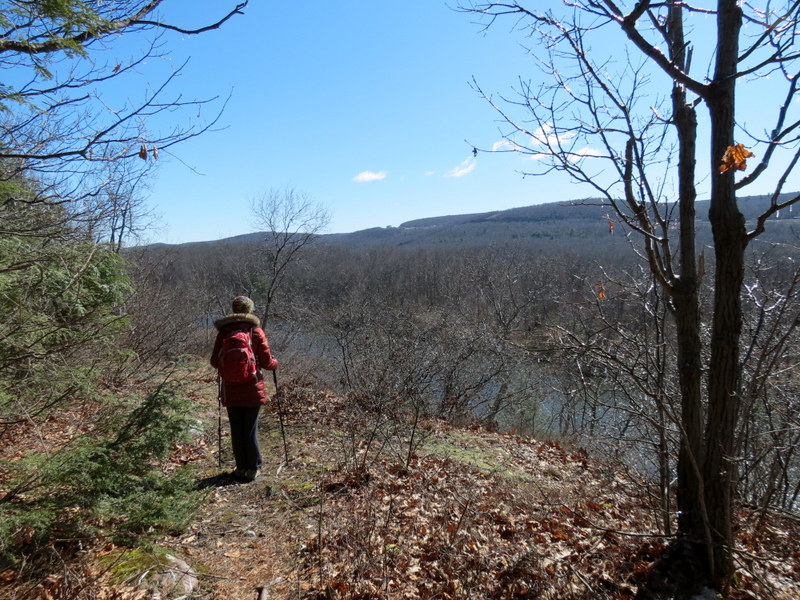
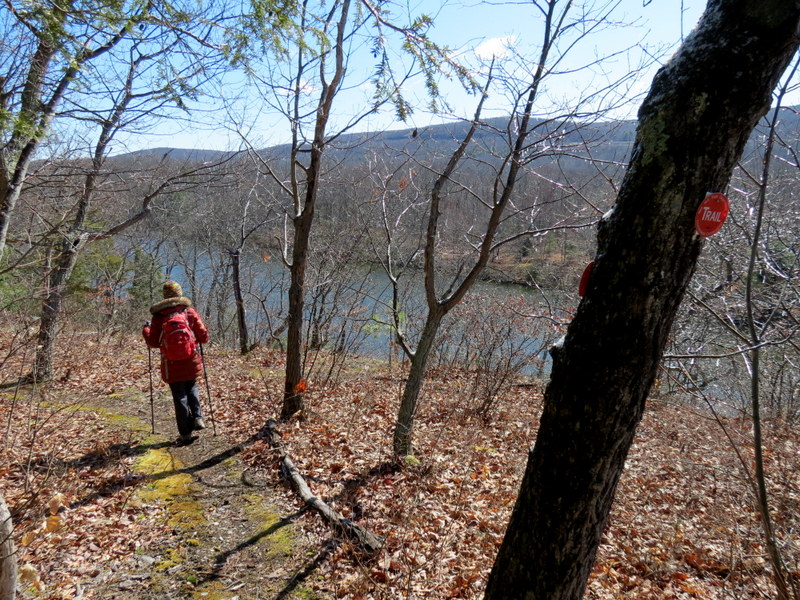
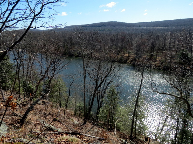
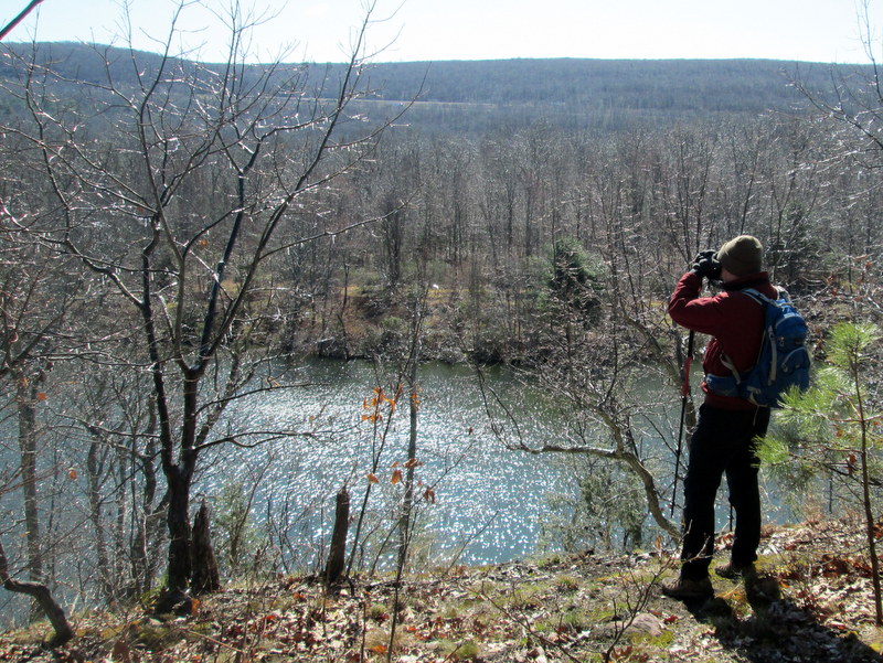
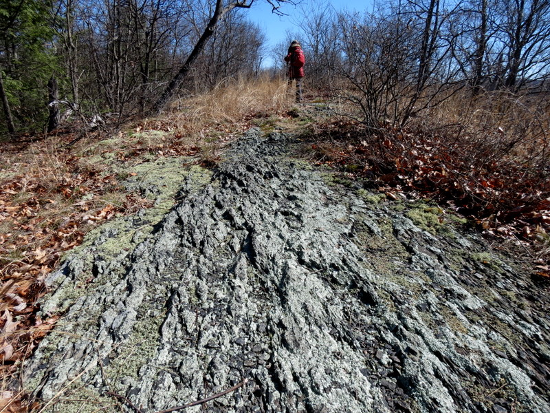
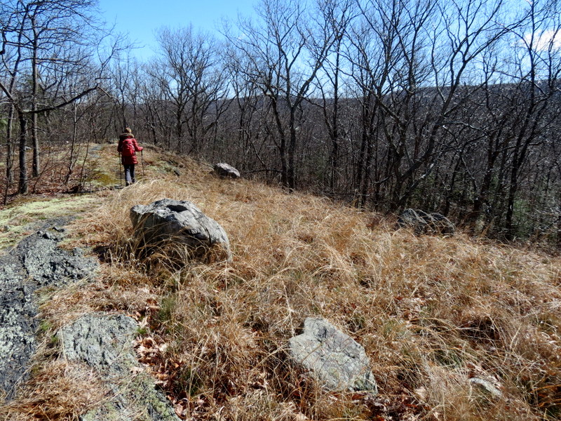
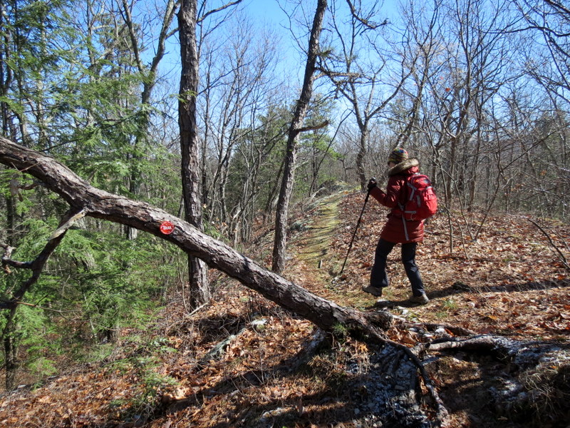
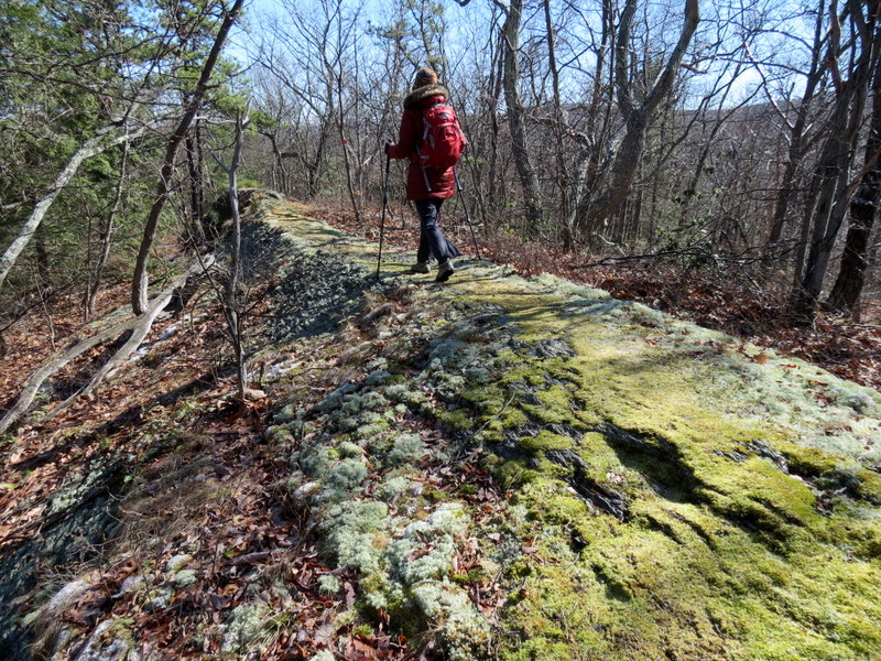
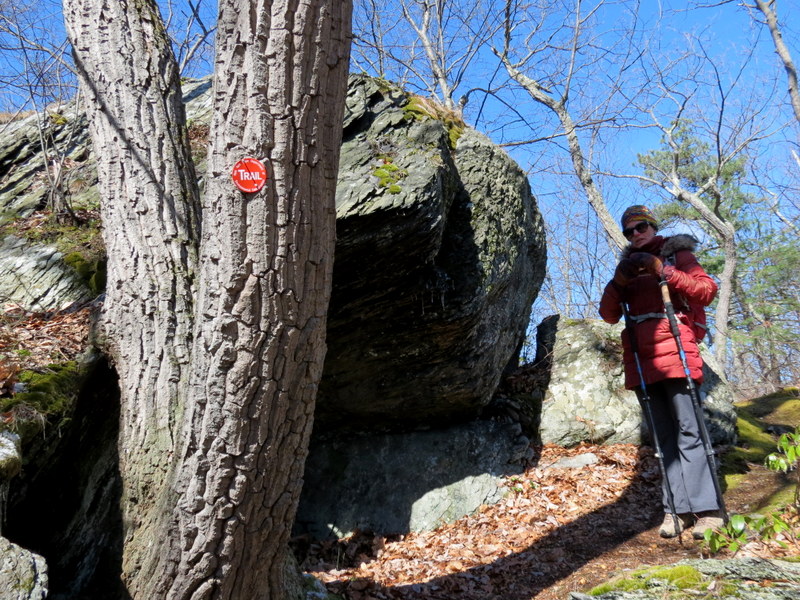
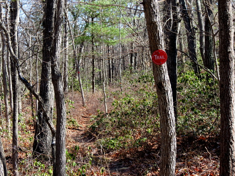
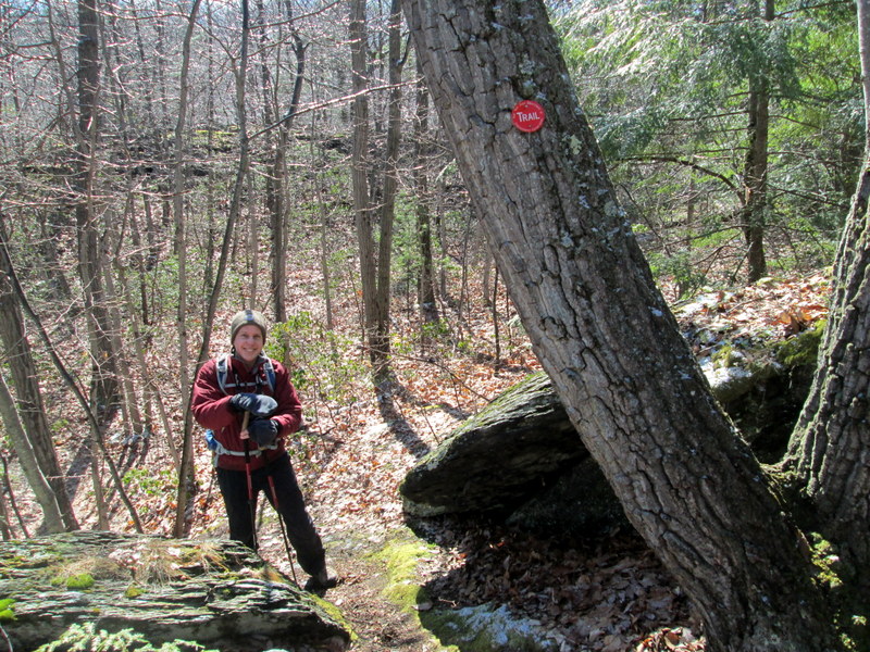
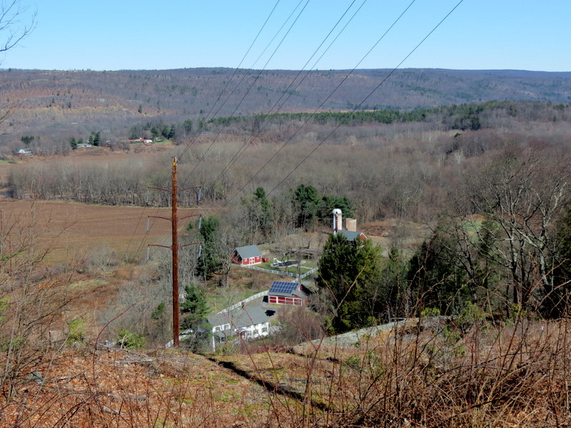
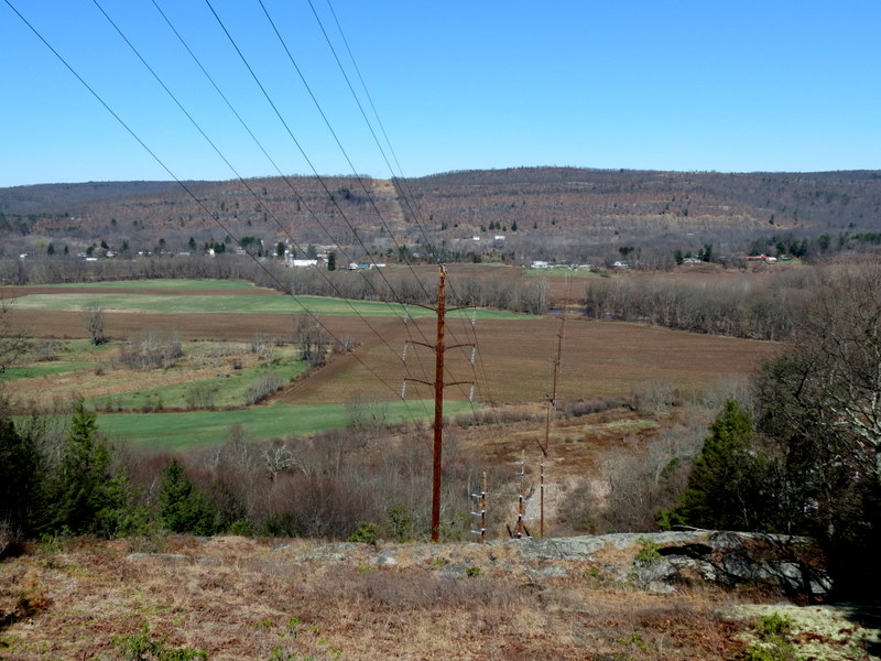
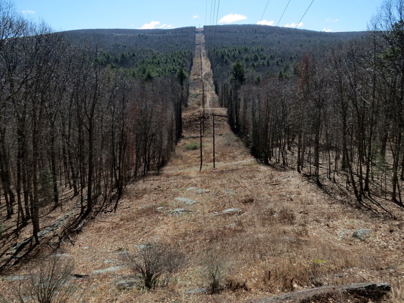
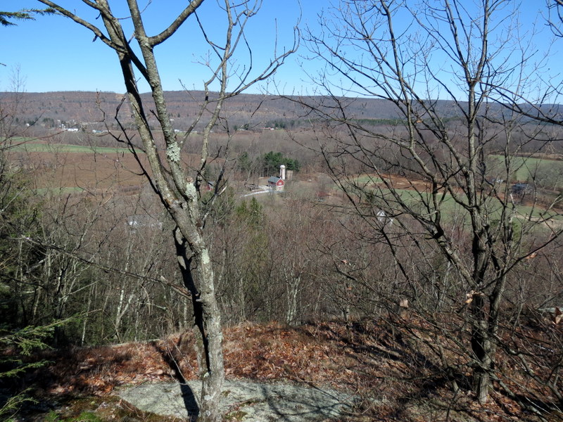
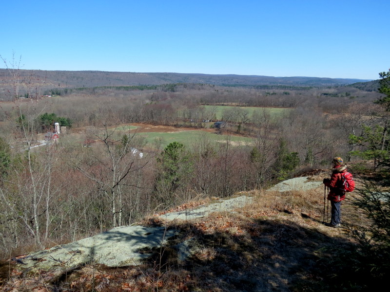
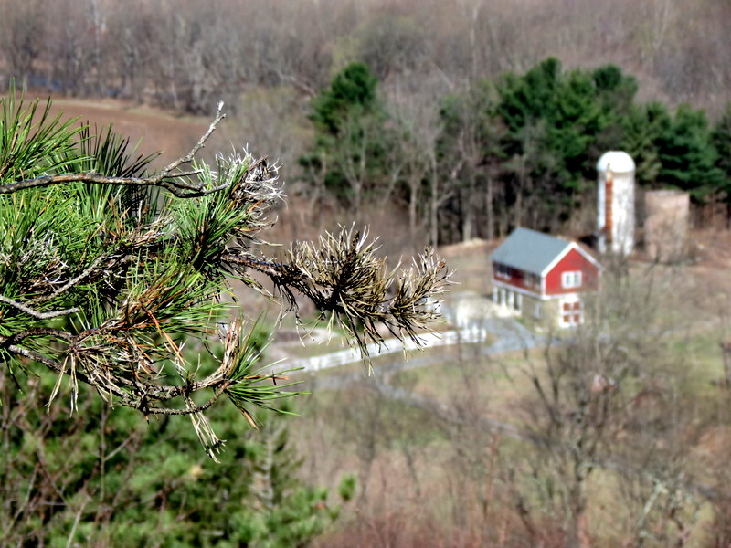
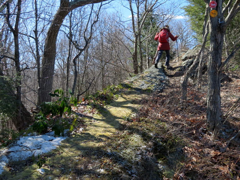
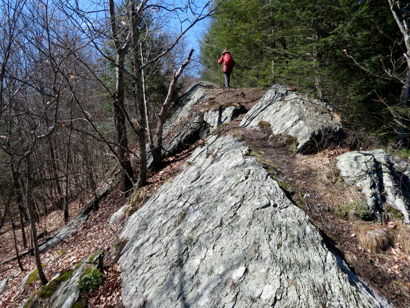
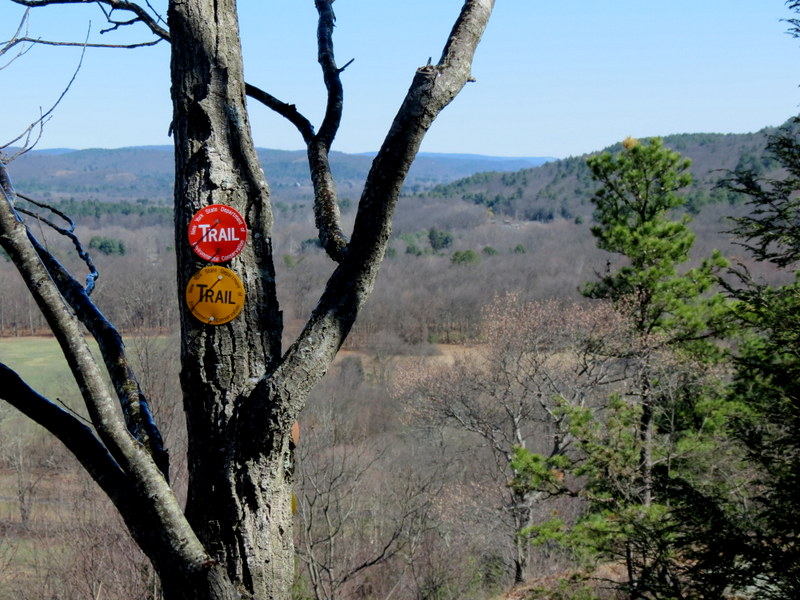
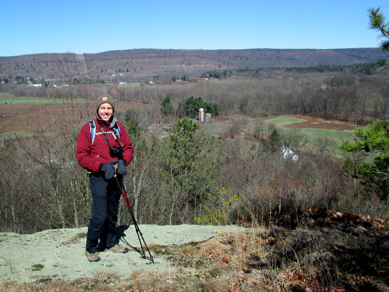
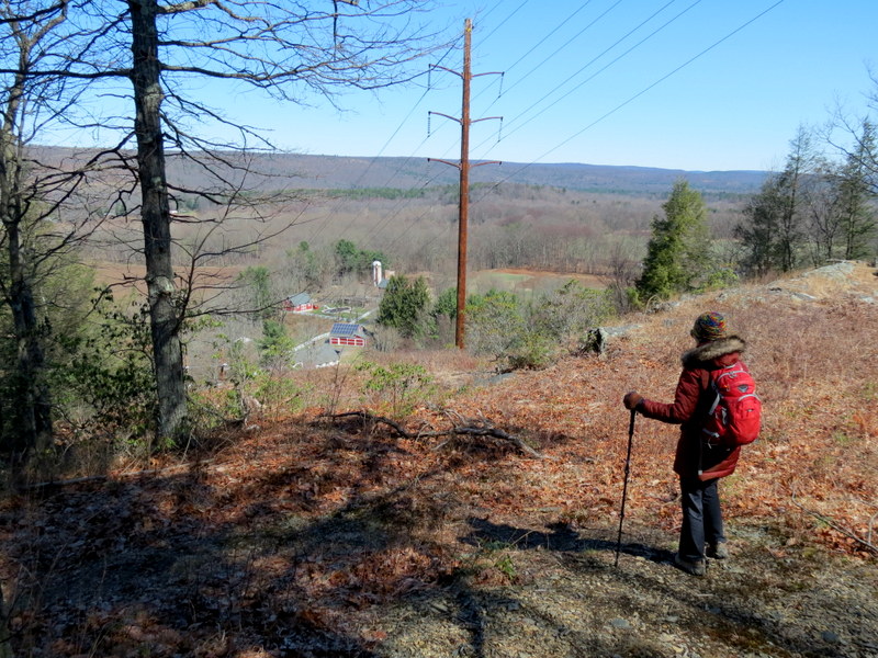
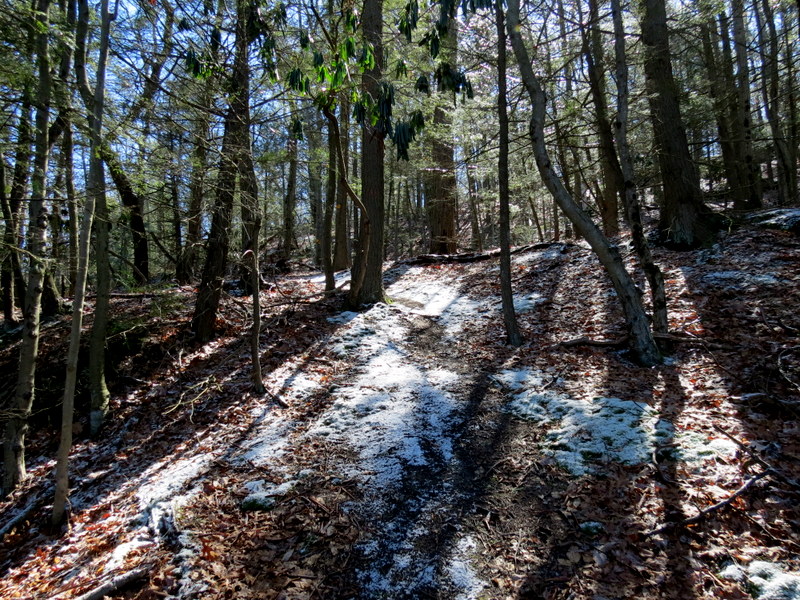
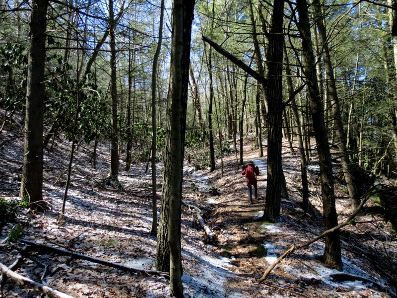
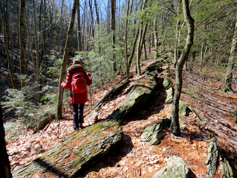
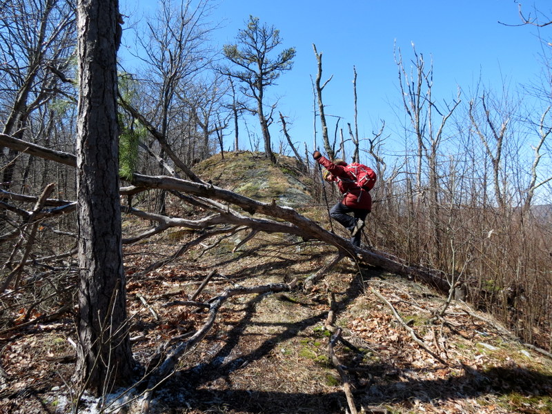
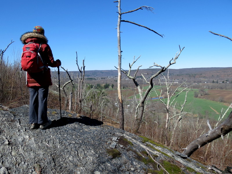
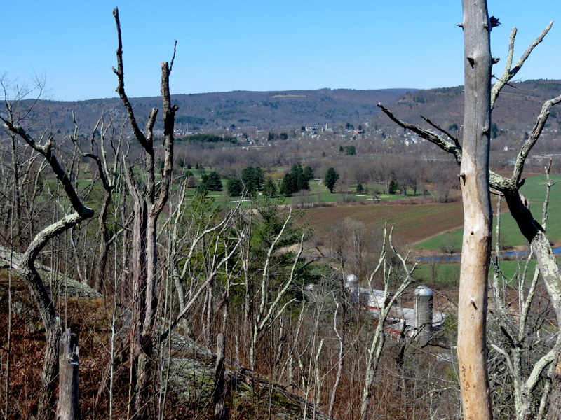
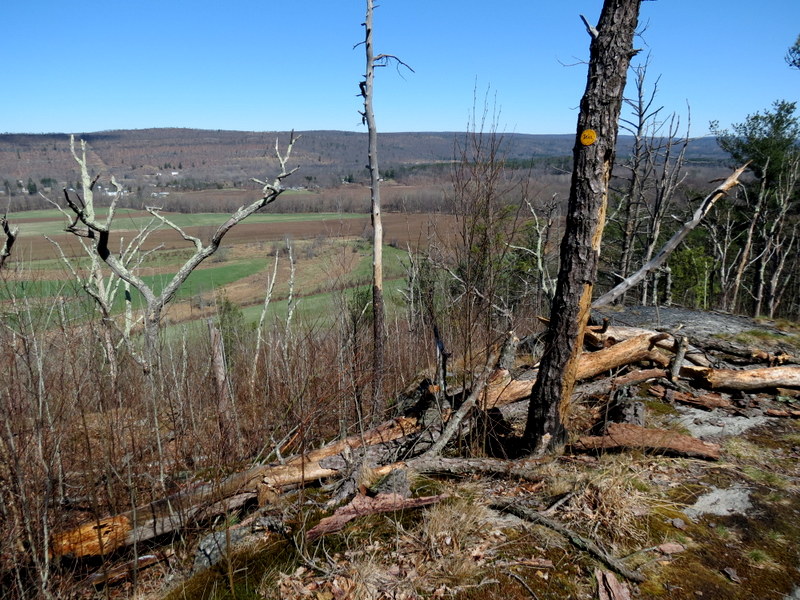
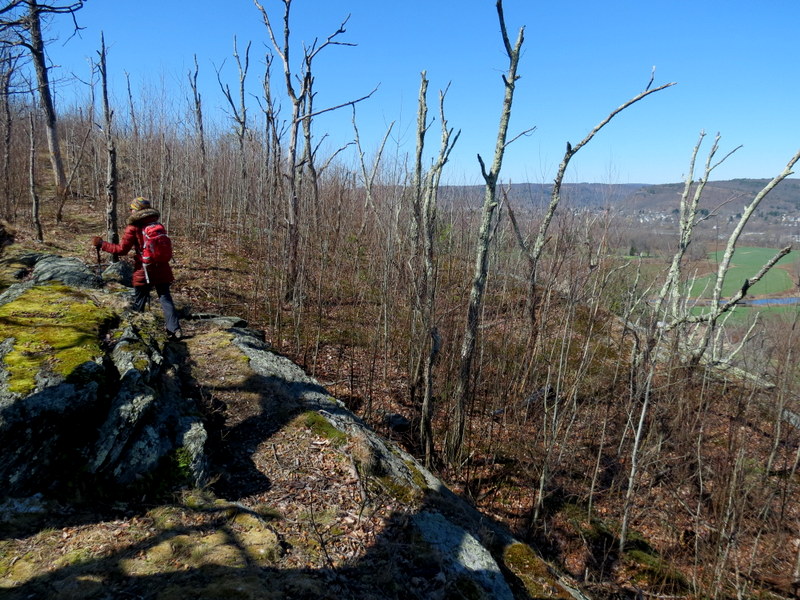
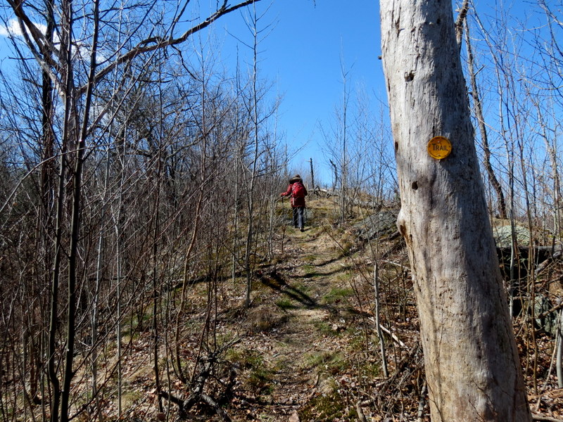
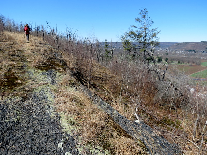
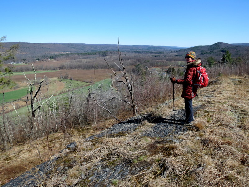
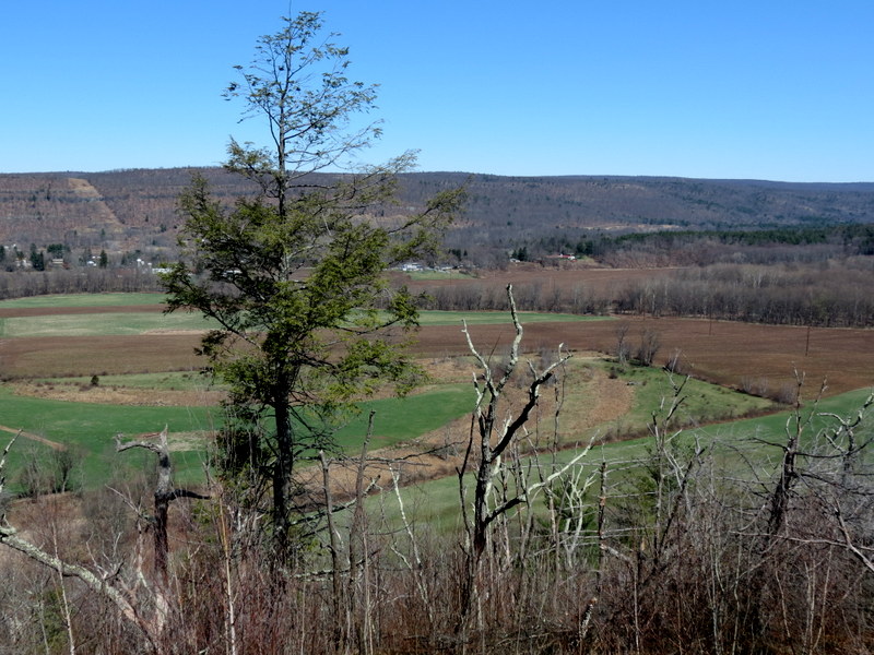
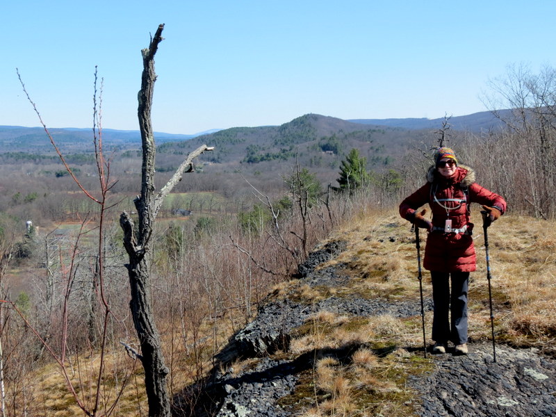
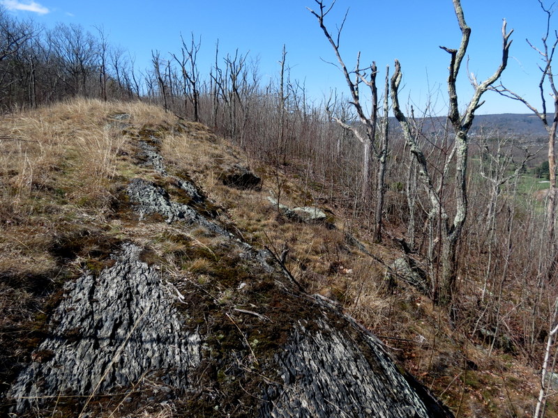
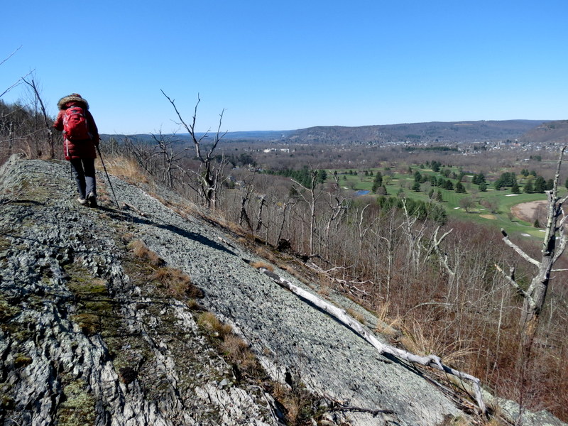
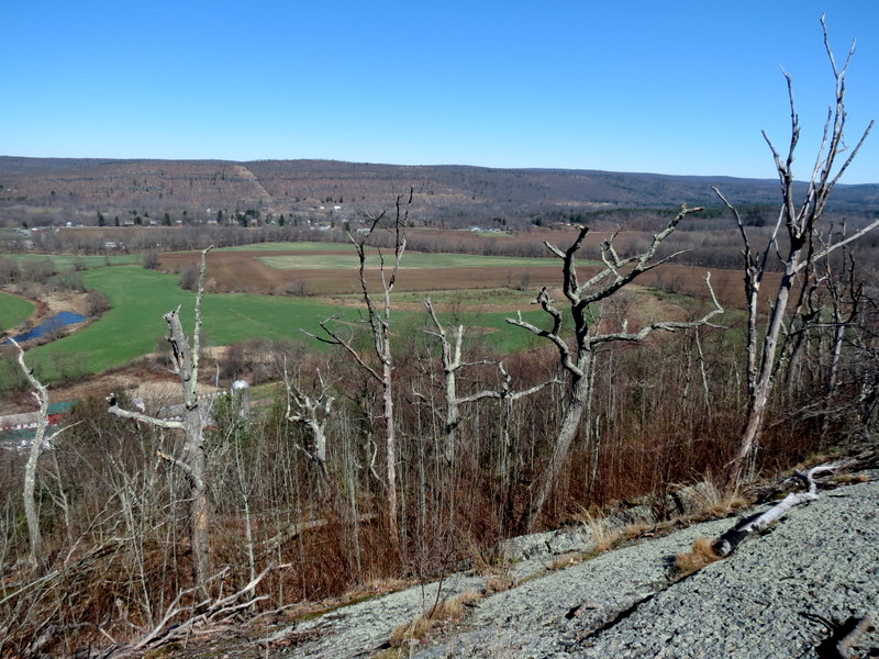
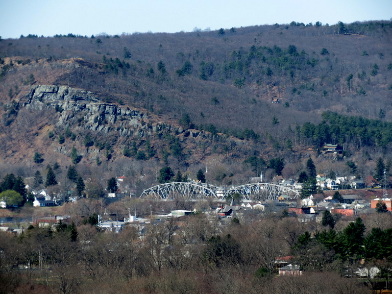
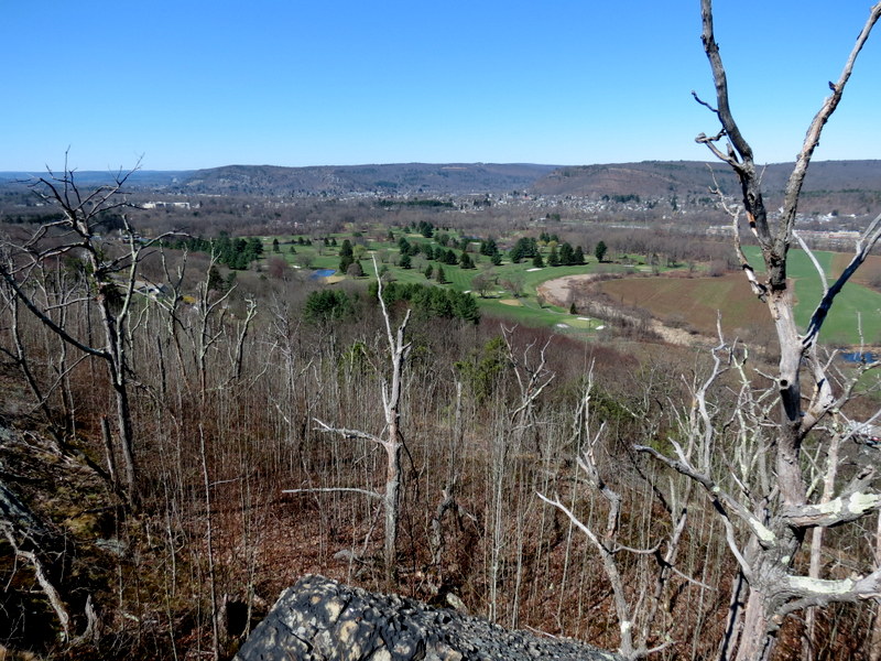
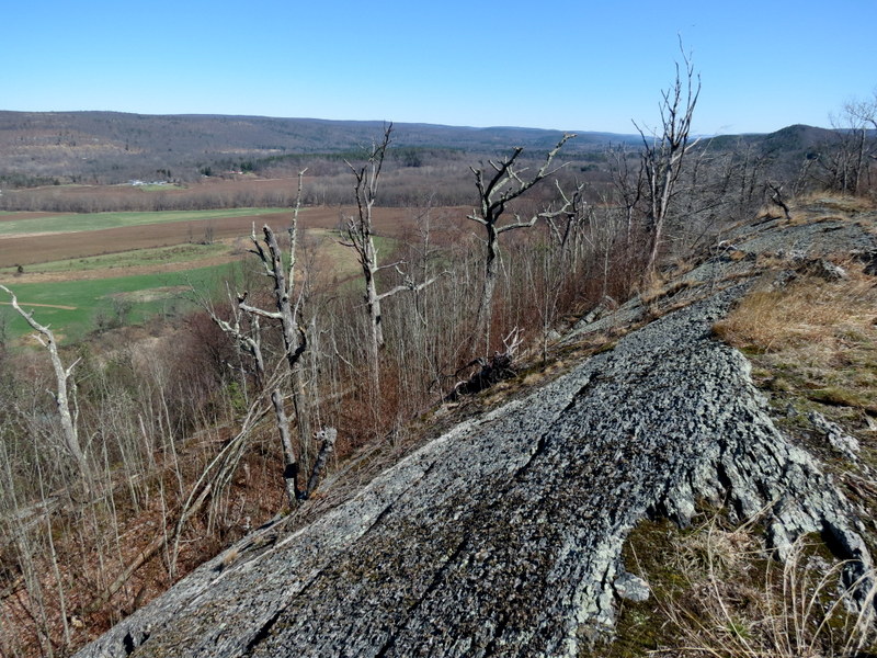
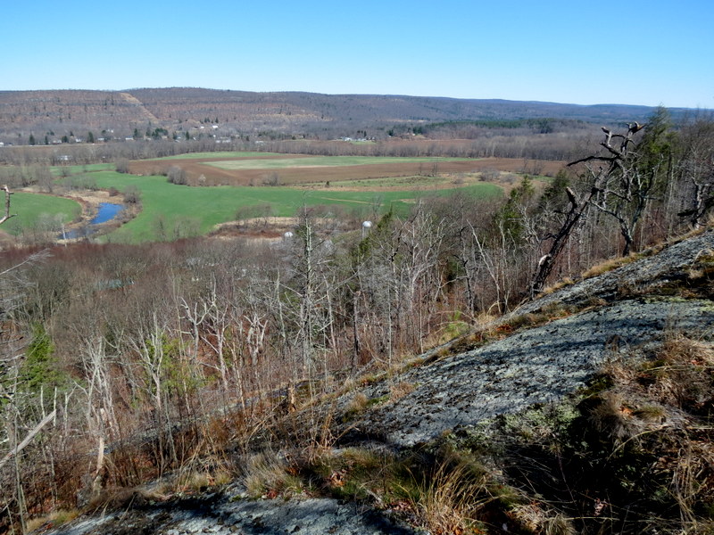
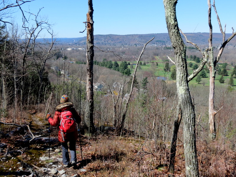
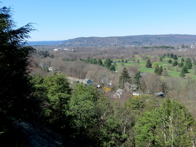
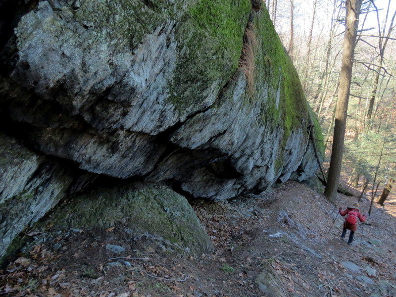
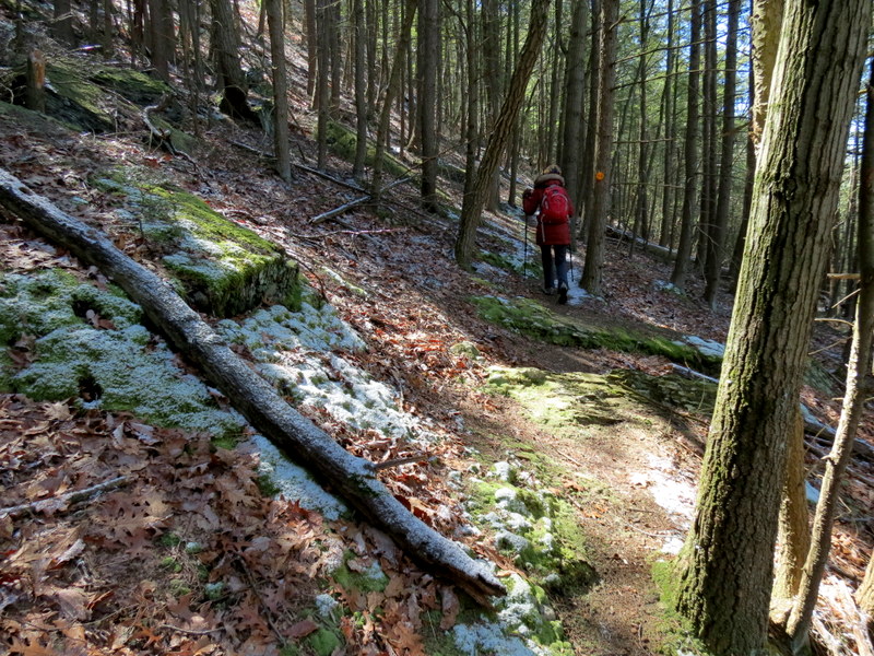
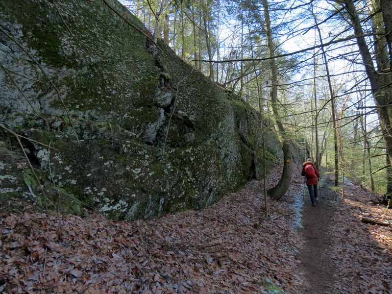
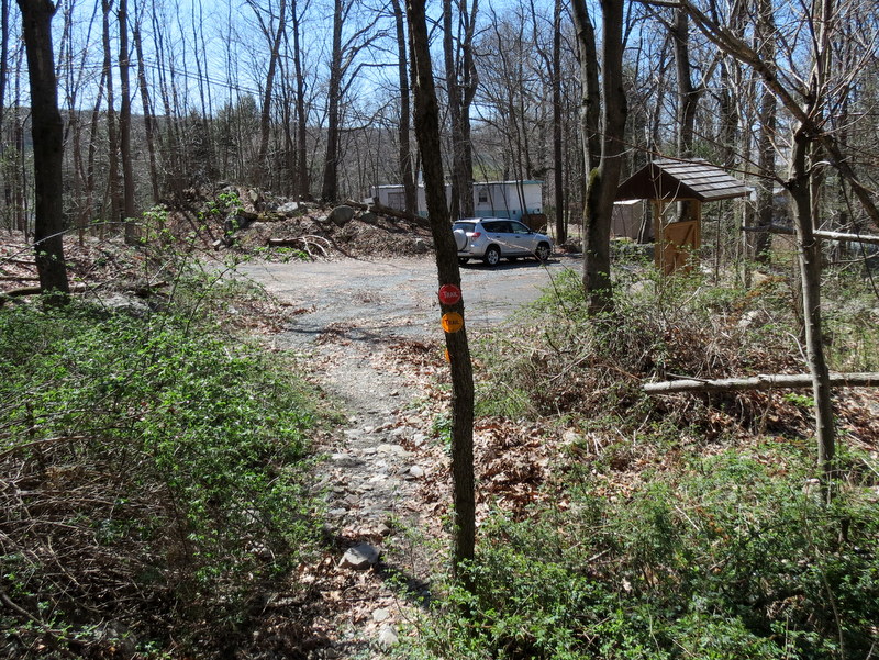
Using this map, we parked in the lot off Lime Kiln Road. We took the red-blazed Lenape Ridge Trail north, taking in the views to the east until we reached the powerline cut where the trail meets the yellow-blazed Minisink Trail. But before turning back, we hiked 100 yards or so further north for one more wonderful vista over the NY farms to the west. We then turned back and took Yellow all the way back to the car. Although the map has a single star denoting a vista on this leg, it's really an incredible stretch of constant views to the west. The trees here seem to have been very much damaged (perhaps from Hurricane Sandy). I don't remember it being this way in 2007, nor do I have photos attesting to this damage. With the multitude of saplings struggling in the wind, surrounded by dead trees still standing, it's quite an impressive segment. Total distance hiked was 4.2 miles in 2.5 hours.
|
 |
 |
 |
 |
 |
 |
 |
 |
 |
 |
 |
 |
 |
 |
 |
 |
 |
 |
 |
 |
 |
 |
 |
 |
 |
 |
 |
 |
 |
 |
 |
 |
 |
 |
 |
 |
 |
 |
 |
 |
 |
 |
 |
 |
 |
 |
 |
 |
 |
 |
 |
 |
 |
 |
 |
 |
 |
 |
 |
 |
 |
 |
 |
 |
 |
 |
 |
 |
 |
 |
 |
 |
 |
 |
 |
 |

|
|
Photographs and content copyright © Dan Balogh Web design by Dan Balogh |