 |
|
The last time we hiked the AT in Pennsylvania was way back in 2007 when we climbed Mount Minsi to gaze at
Mount Tammany across the Delaware River. Today we returned to bag a couple of vistas indicated on the 2012 edition of the NYNJTC Kittatinny Map #120: Lunch Rocks and the
Nelson Overlook. That was the plan anyway. But as often occurs on the AT ridges of the Kittatinnies, the
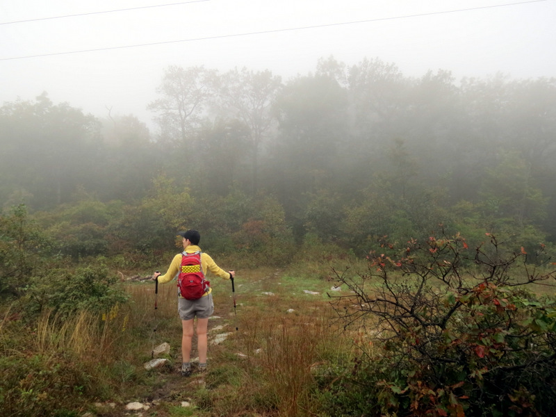
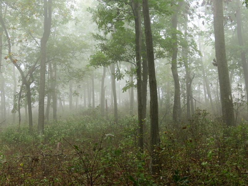
weather didn't cooperate. When we arrived at the gate on the southern end of Tott's Gap Road we could see the ridge engulfed in a soupy mist. Walking up the gravel road to
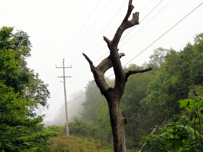
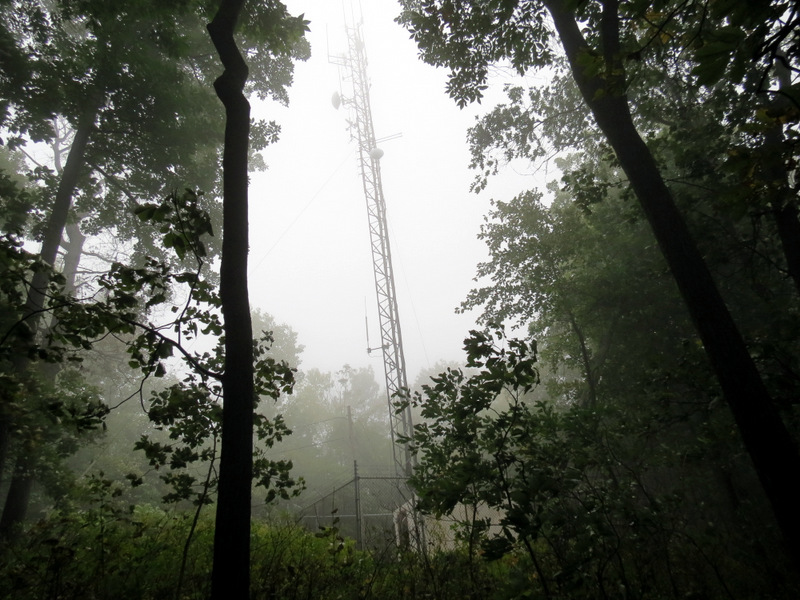
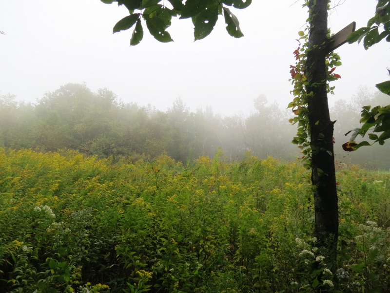
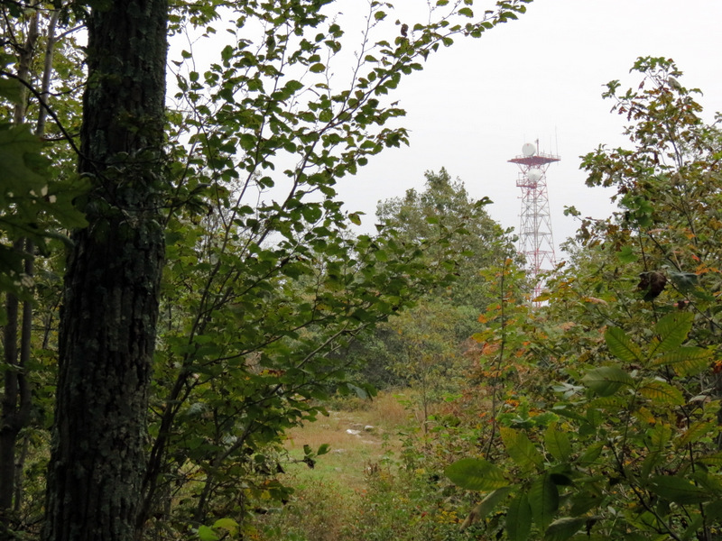
the AT, we couldn't see the communications tower near the intersection. And heading south on the AT we saw nothing at Lunch Rocks and nothing at the Nelson Overlook. You
can see only white in the first series of vista photos.
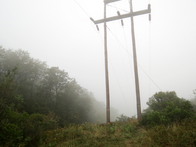
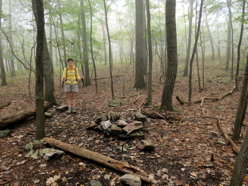
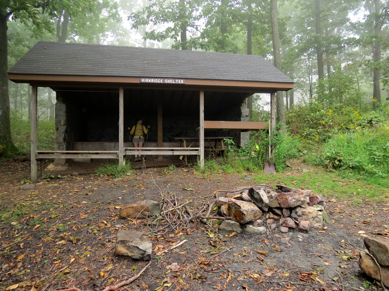
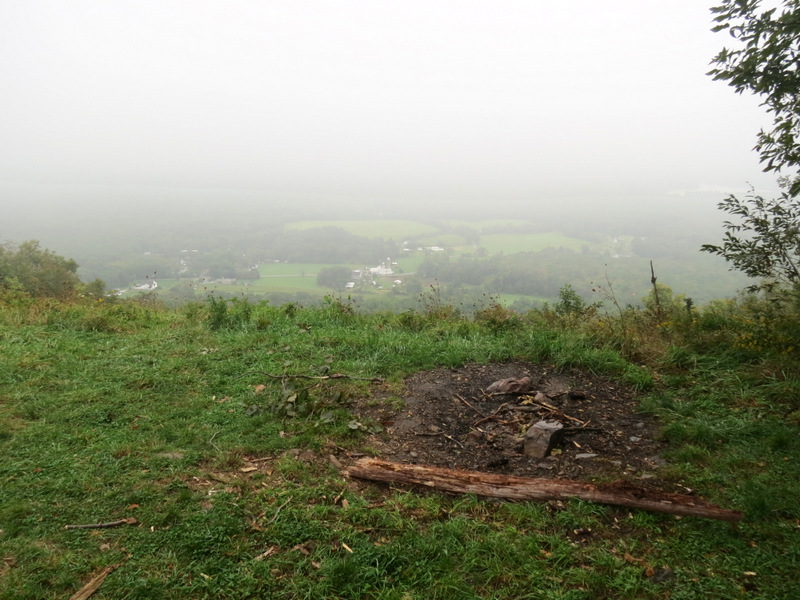
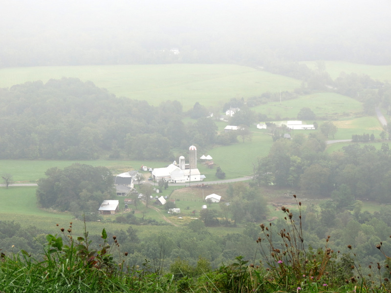
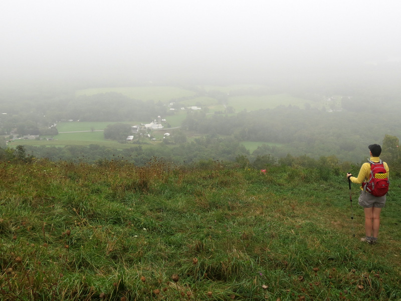
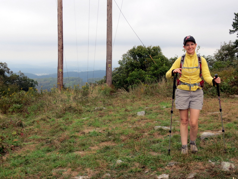
We arrived at Kirkridge shelter just before the autumnal equinox, registering in the log and then hanging out until 10:49 AM before completing the Blue shelter trail and taking the AT back north to the gravel road and back to our car. Miraculously the mist began lifting enough to give us a hint of the vistas that could have been. We were able to see a farm below us at Nelson Overlook and the communication tower from Lunch Rocks, but little else. The best views of the day came in the two telephone line cuts near the communications tower. We were able to see nice views both east and west, albeit marred by the telephone lines. Incidentally, since the first half of our hike was during the last 100 minutes of summer, and the second half was during the first 100 minutes of autumn can I now tell everyone I know that I hiked the Appalachian Trail from summer to autumn without stopping? Total distance hiked was 4.8 miles in just over 3 hours.
|
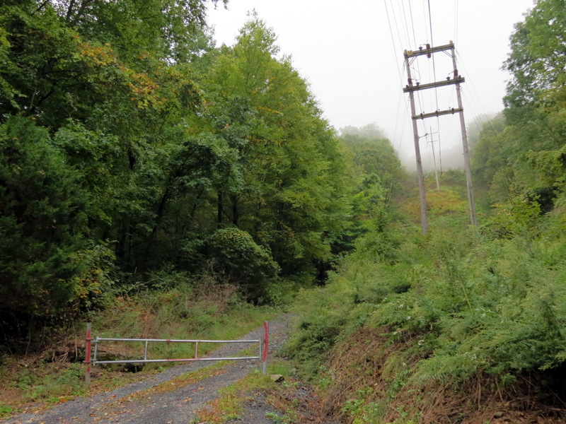 Gate at end of Tott's Gap Road |
 Parking for 3-4 cars |
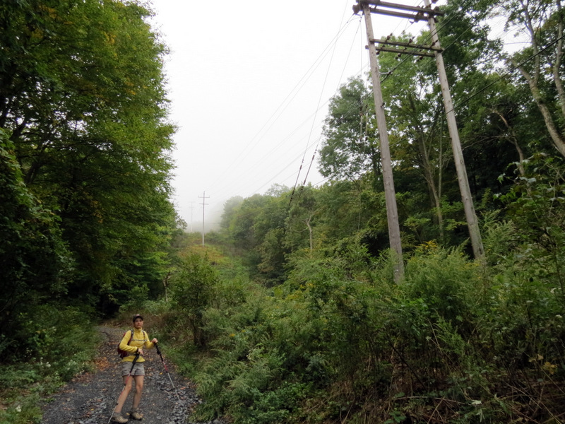 Heading up the gravel road |
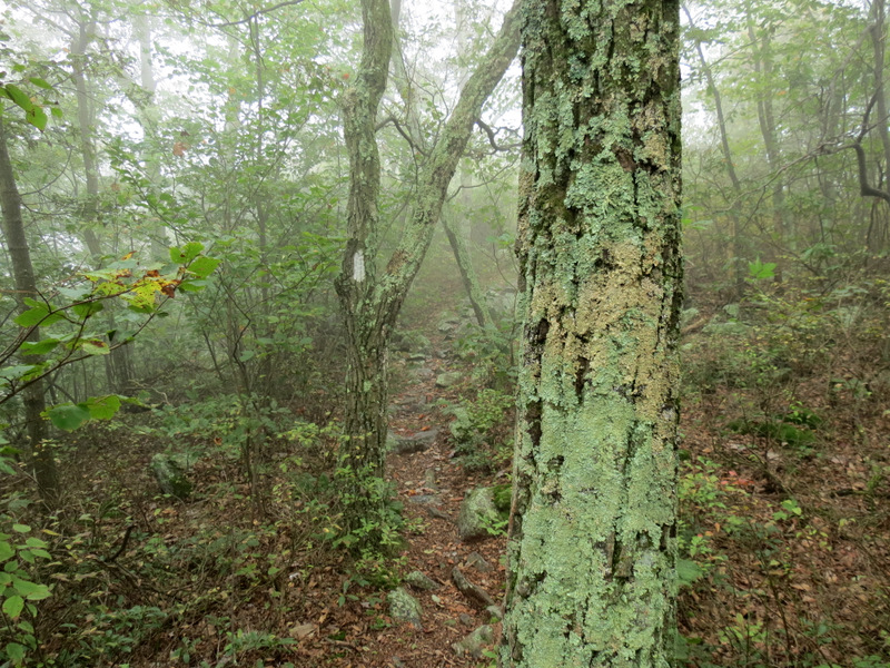
 Misty morning |
 Intersection at top |
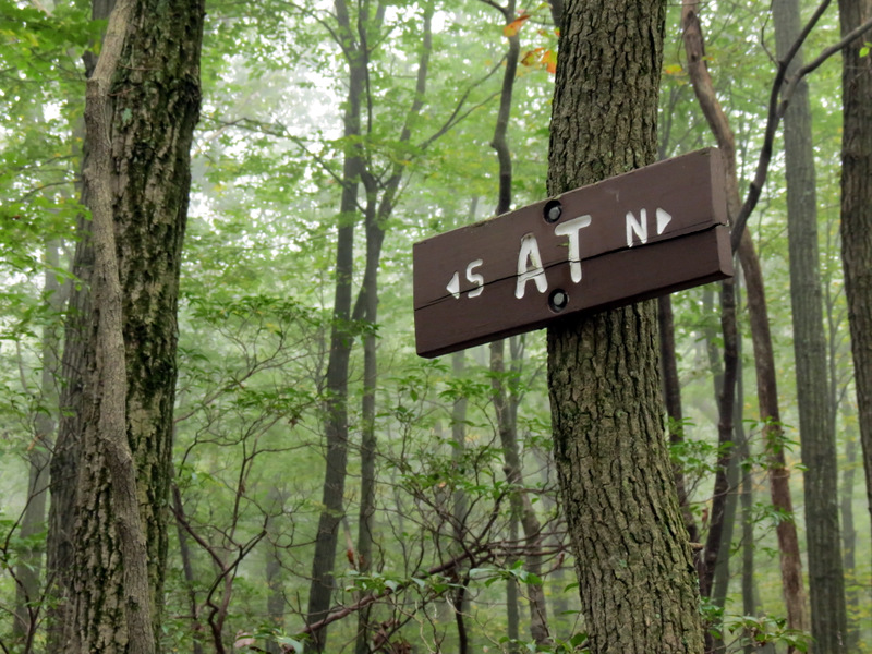
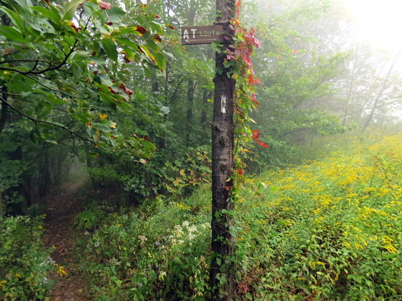
 The Appalachian Trail |
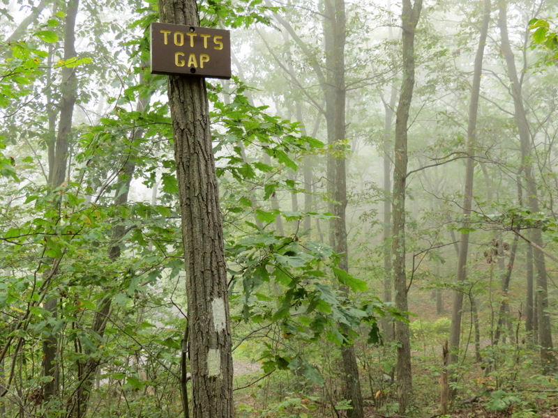 Tott's Gap |
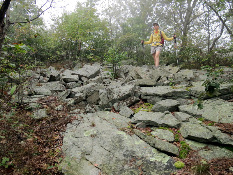
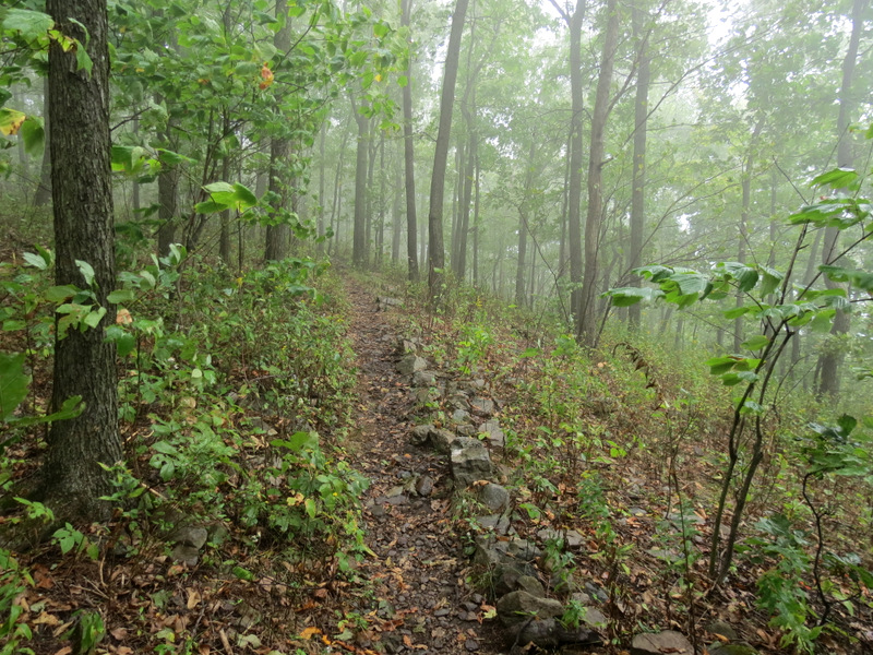
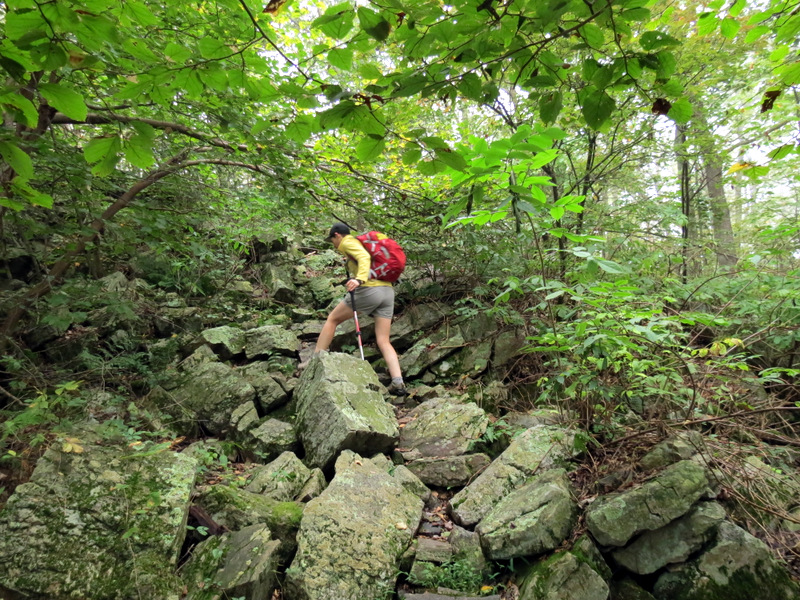 Very rocky and slippery |
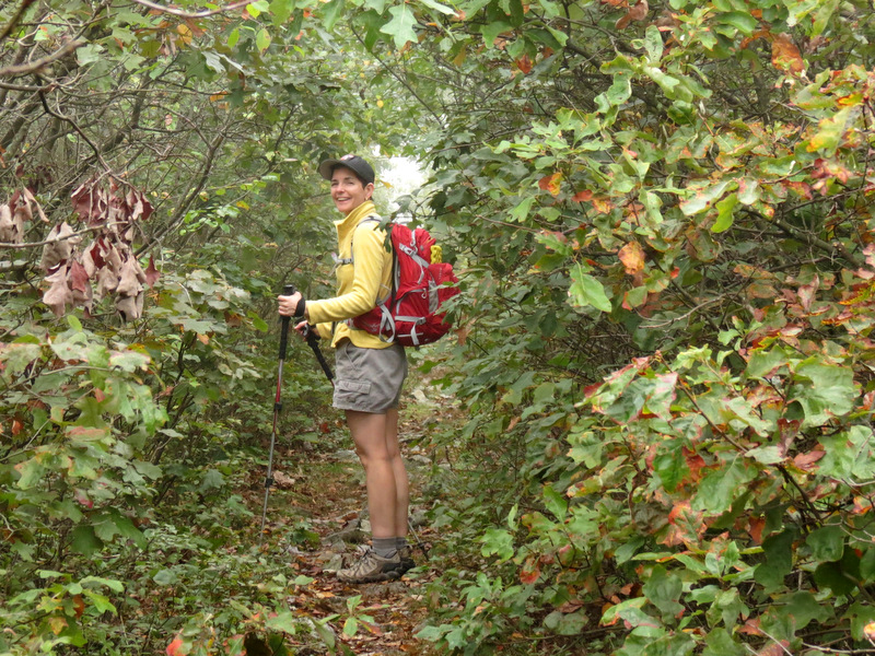 Narrow passage here |
 Telephone line cut |
 Soupy! |
 Climbing |
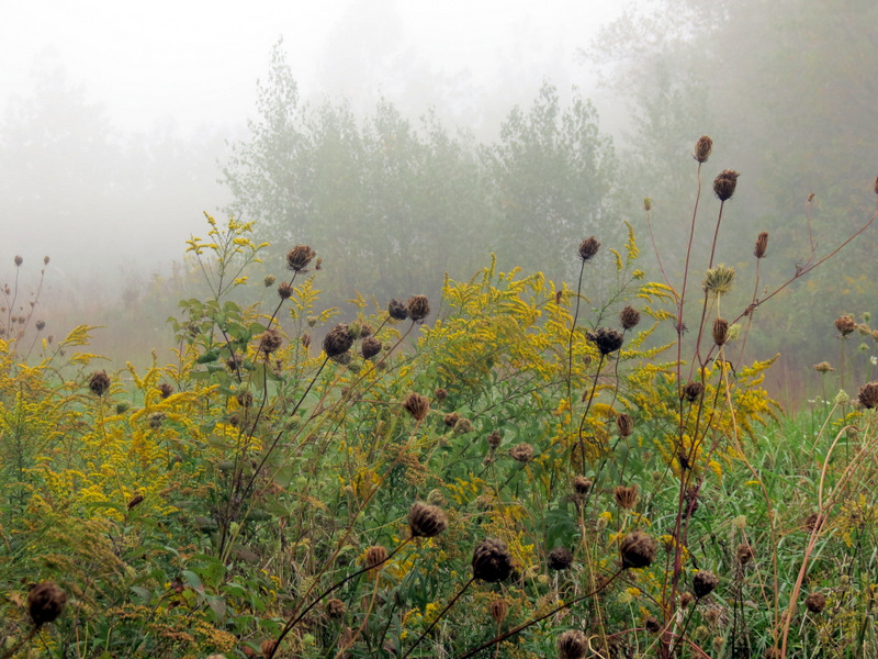
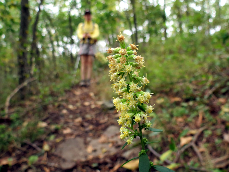
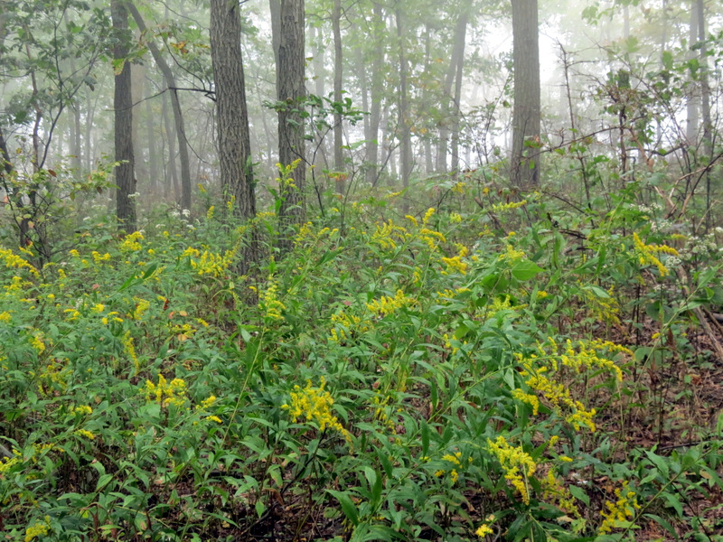 Goldenrod |
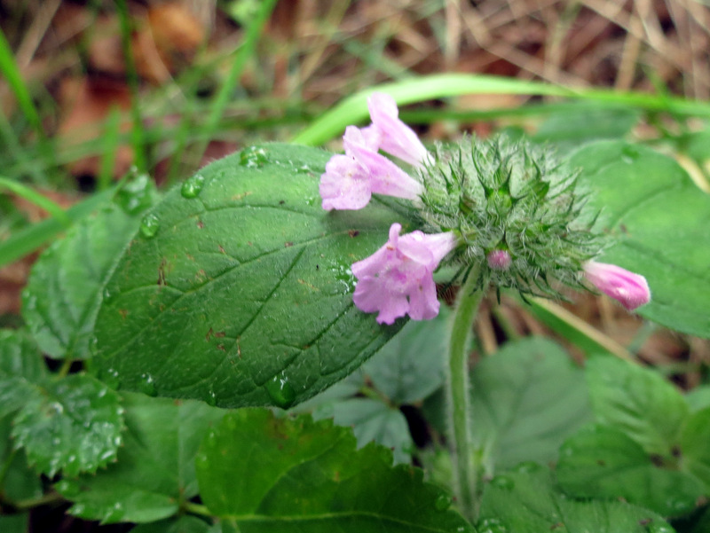
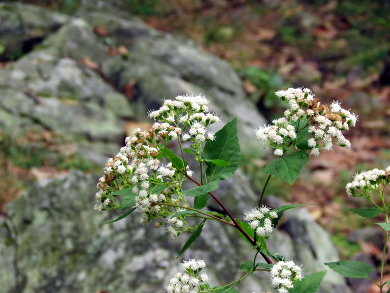
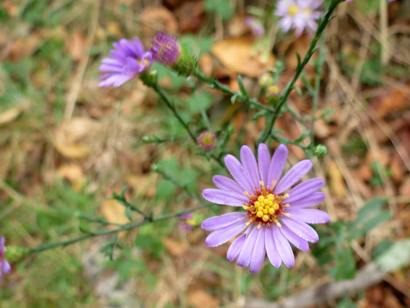 Beautiful purple wildflower |
 Heading south |
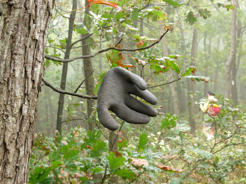 Another lost glove |
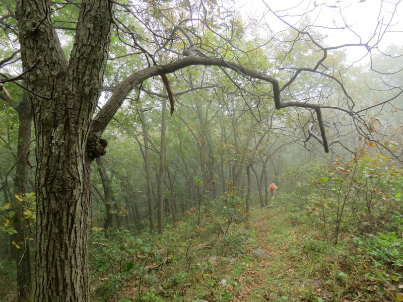
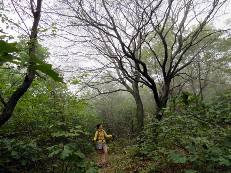
 Heading into ... |
 ... the mist ... |
 ... on the AT |
 Flowers in the mist |
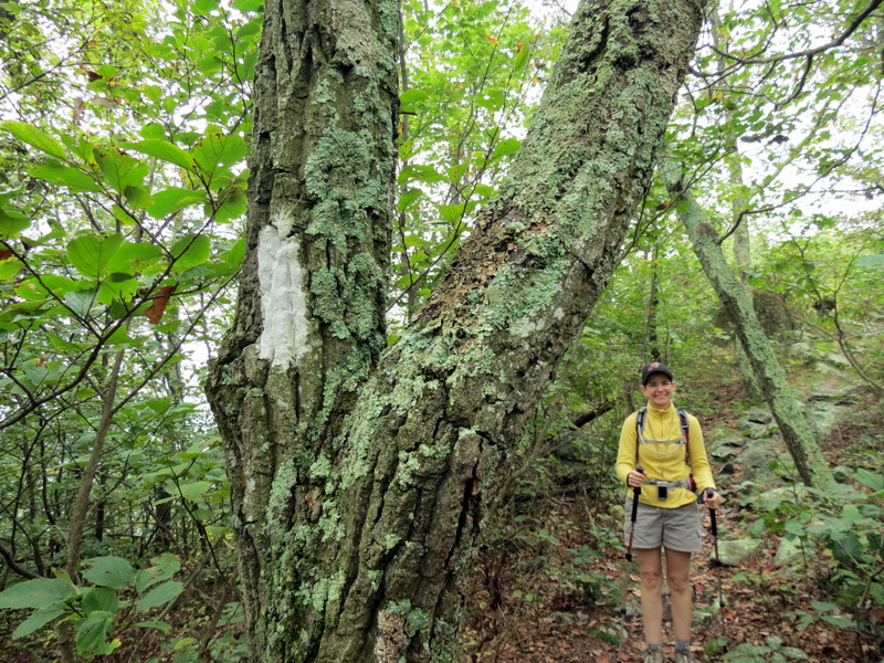
 AT blaze up ahead |
 |
 |
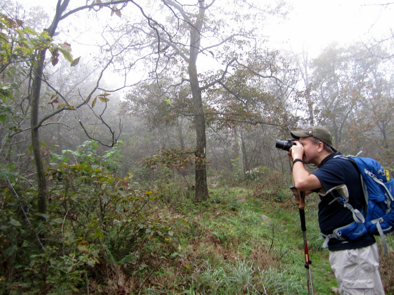 Taking previous pic [photo by Laura] |
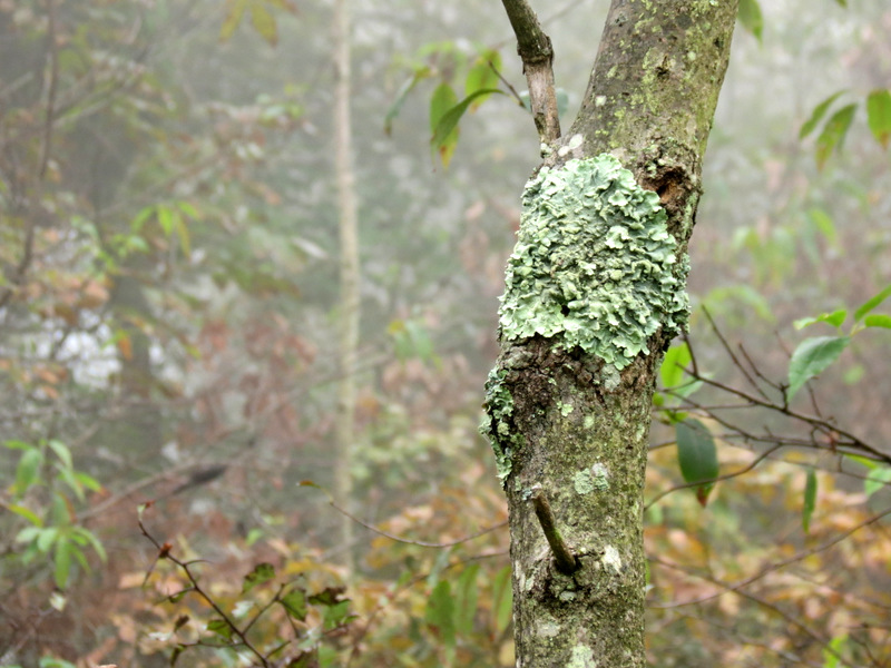 Lichen |
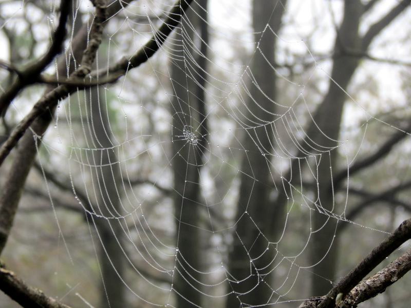 Spider web |
 Tiny flowers |
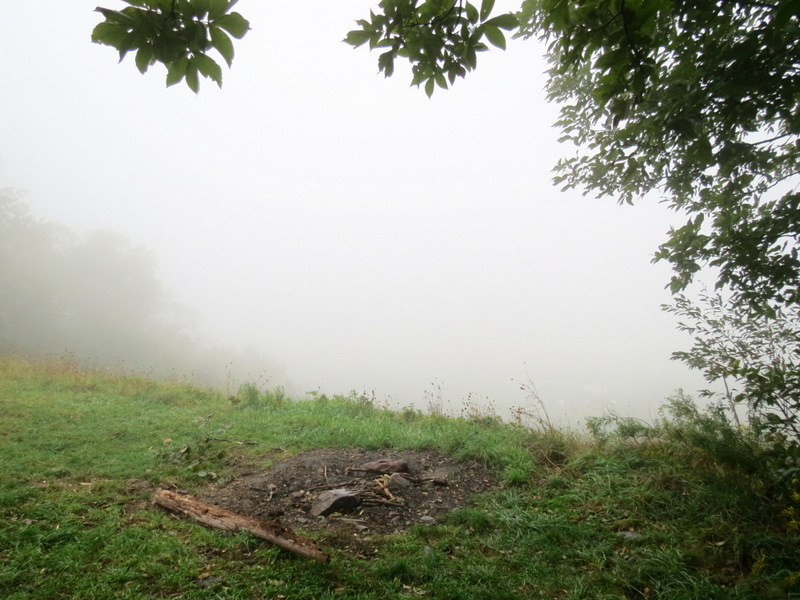
 Fire ring |
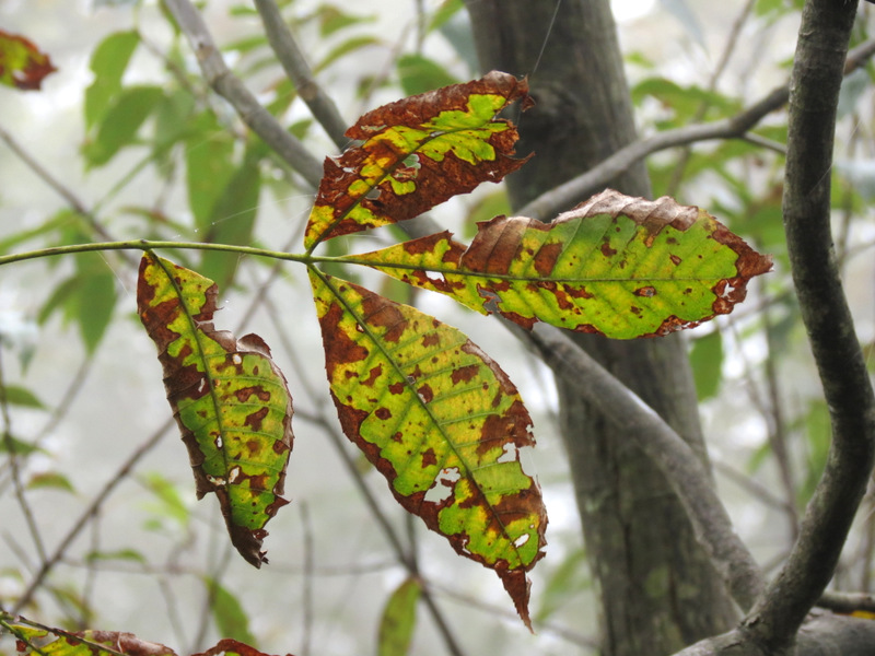
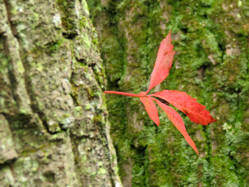
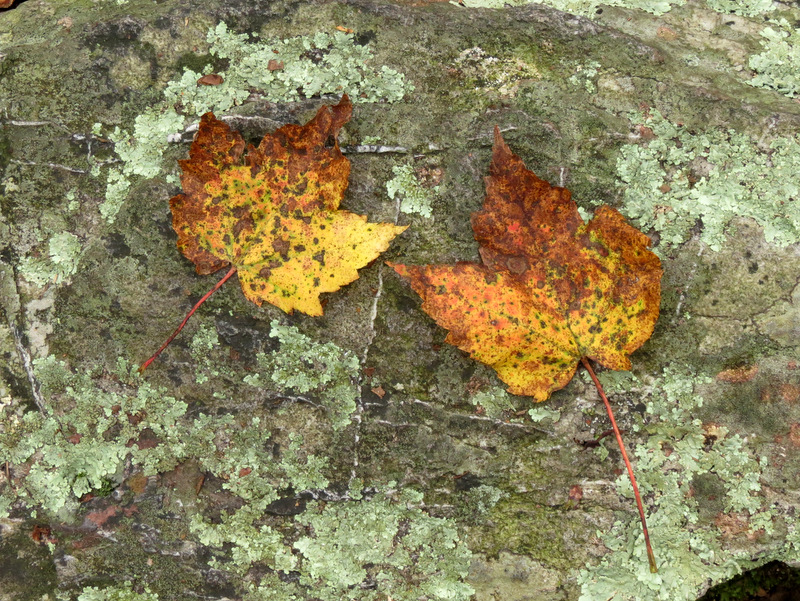 Early autumn leaves |
 |
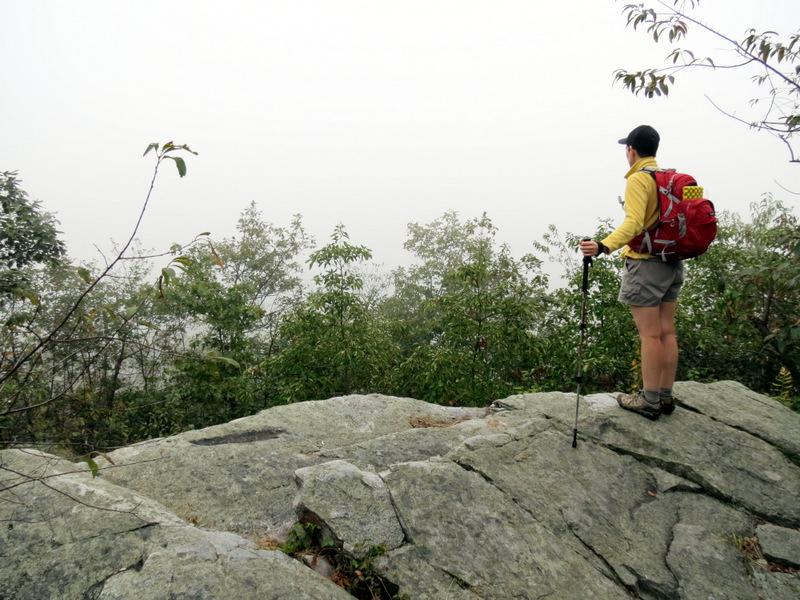 Misty Lunch Rocks |
 |
 |
 Dash of color |
 Cool tree |
 Mountain Laurel thicket |
 Heading to Georgia |
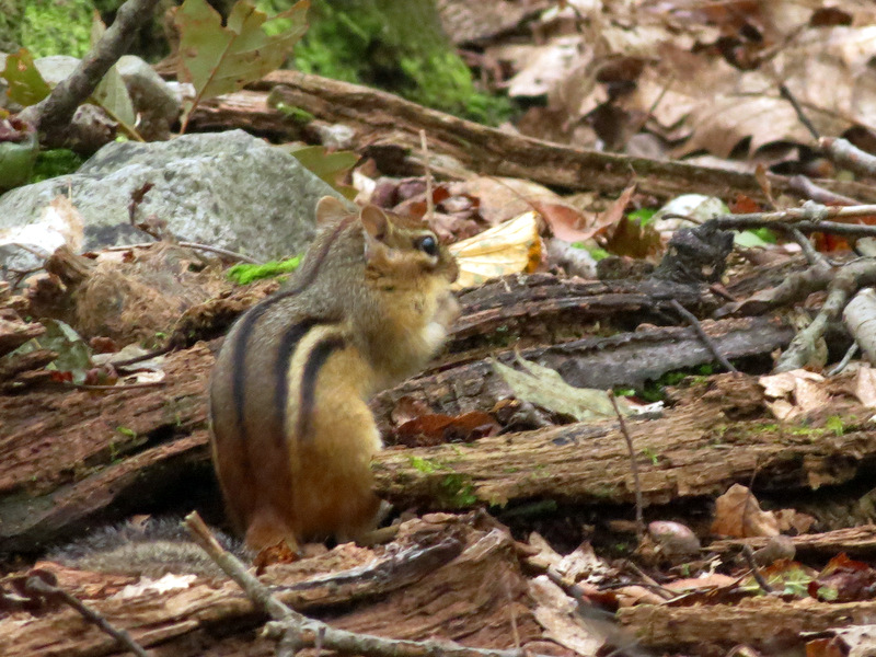 Chipmunk |
 Climbing to misty and ... |
 ... viewless Nelson Overlook |
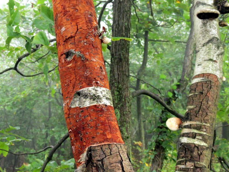 Birch tree |
 Wildflowers in mist |
 Continuing south |
 View north |
 Blue trail to shelter |
 Antenna near shelter |
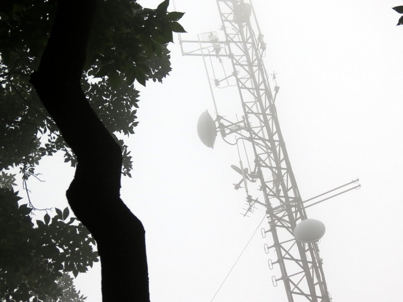 Crooked tree and antenna |
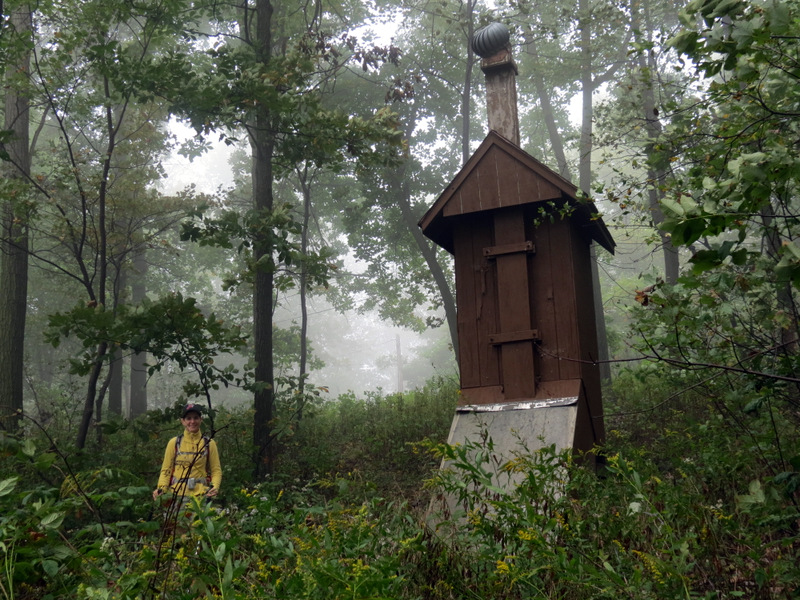 Outhouse near shelter |
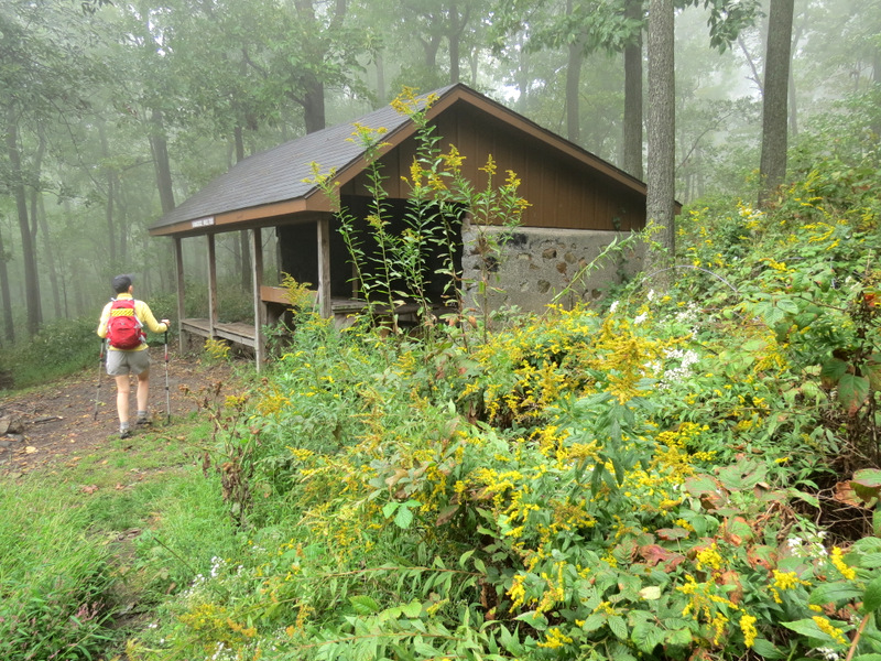 Wildflowers at ... |
 ... Kirkridge shelter |
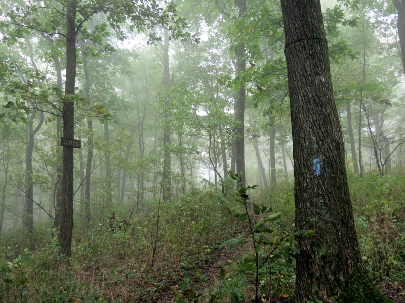 Misty path to the water |
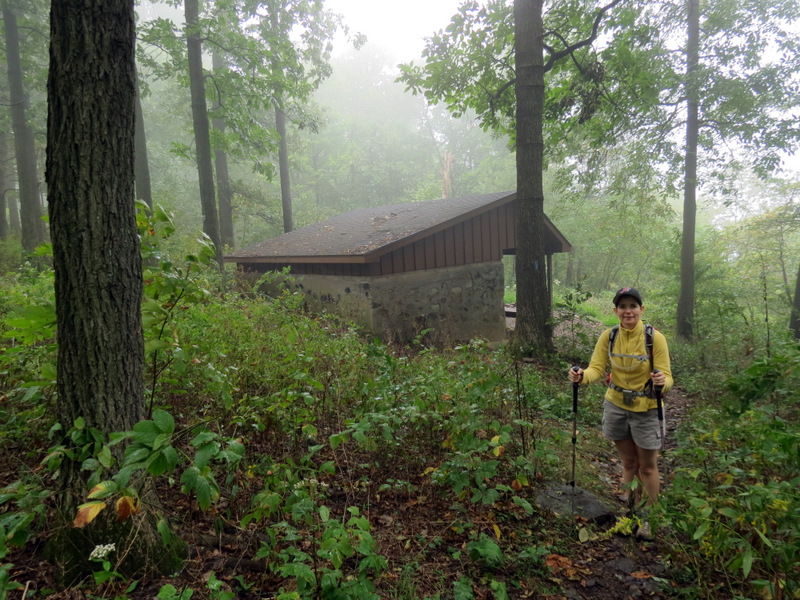
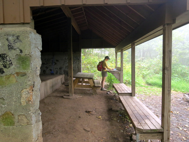 Spacious shelter |
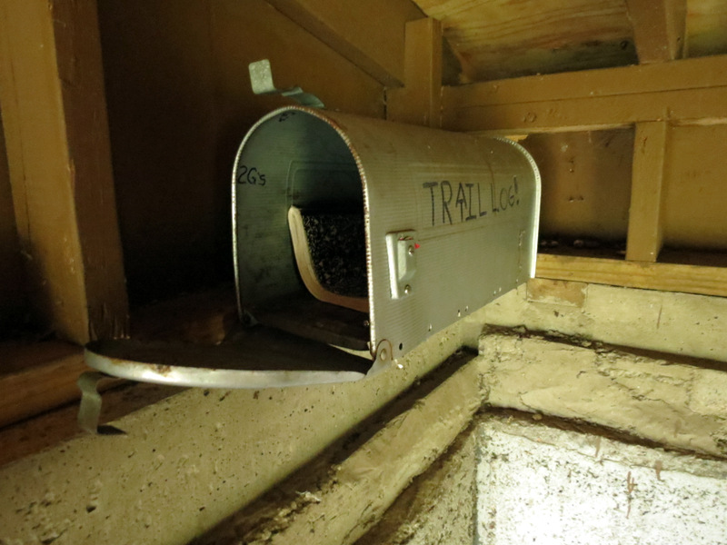 Trail log |
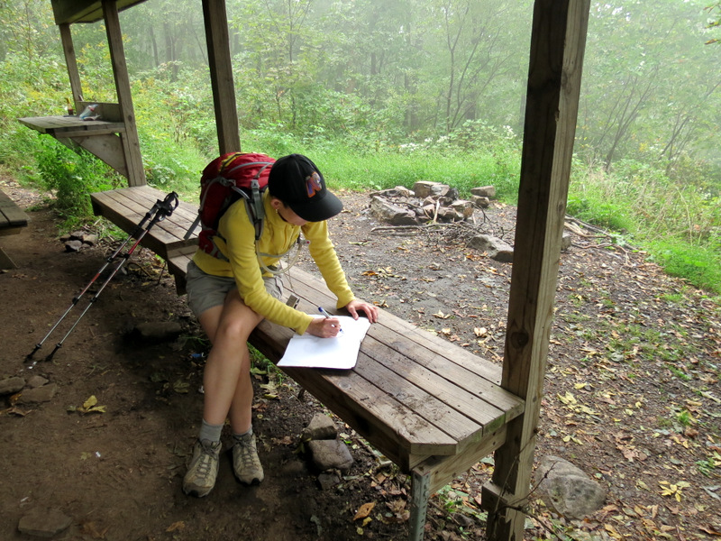 Signing ... |
 ... the log |
 |
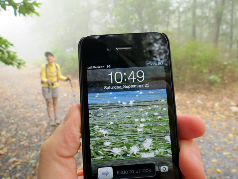 It's 10:49 AM! Happy Autumn! |
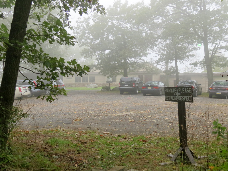 Kirkridge Retreat Center ... |
 ... near water supply |
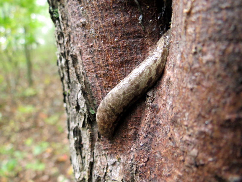 Slug on tree |
 Back to ... |
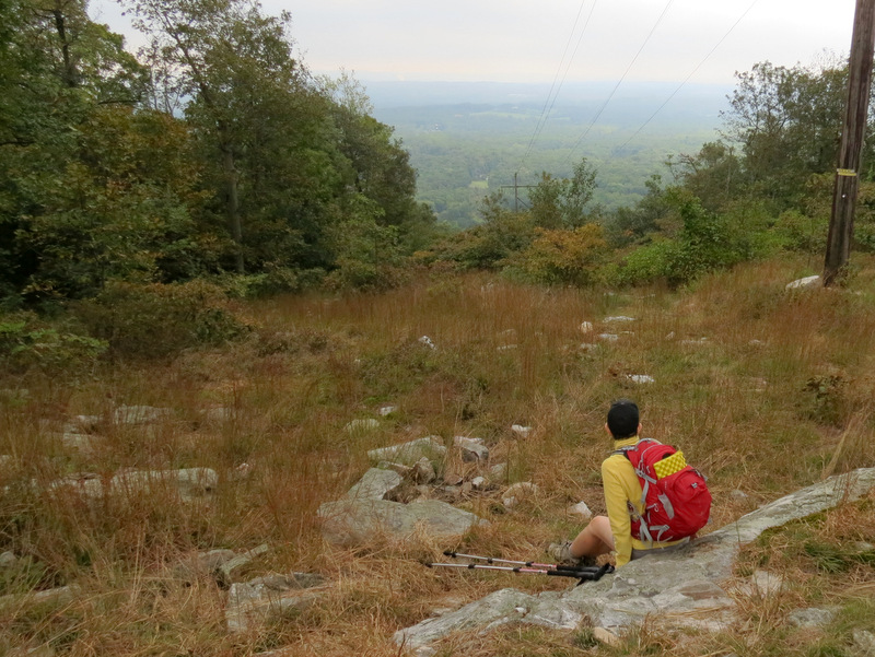
 ... Nelson Overlook |
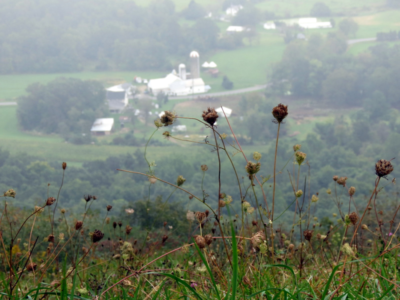
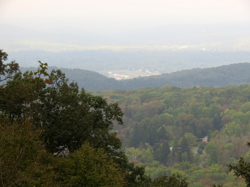
 Farmland below |
 Misty view, but a view! |
 Wildflowers at Nelson Overlook |
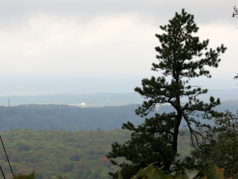
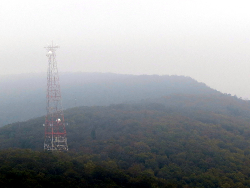 WWYY 107.1 FM radio tower from Lunch Rocks |
 Misty view at ... |
 ... Lunch Rocks |
 Silos in distance |
 The famous AT blaze |
 Wildflowers ... |
 ... on the trail |
 WWYY radio tower |
 In a telephone line cut |
 Wildflowers looking west |
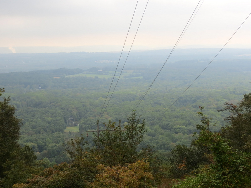 View east in the cut |
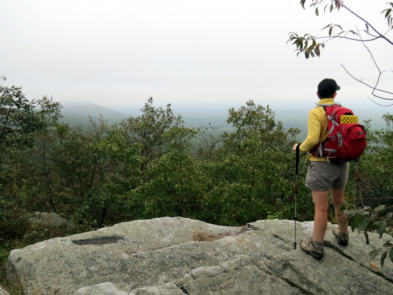
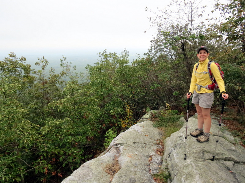
 Taking in the view |
 View east |
 Cricket |
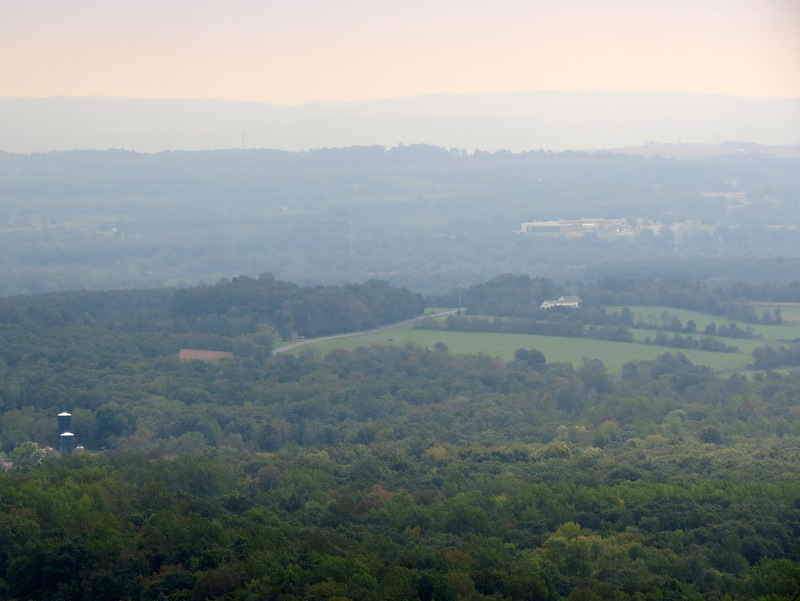
 View west from cut |
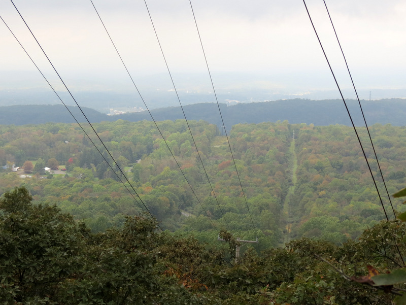 Another view west |
 Regal tree |
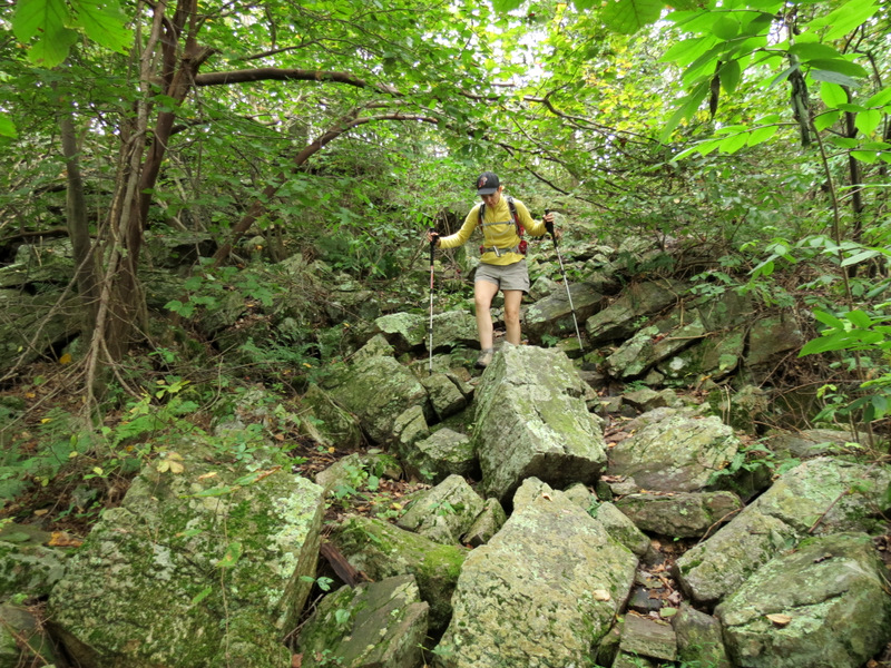 Rocky descent |
 WWYY radio tower now visible from road |

|
|
Photographs and content copyright © Dan Balogh Web design by Dan Balogh |