 |
|
This is the Hike of the
Week for
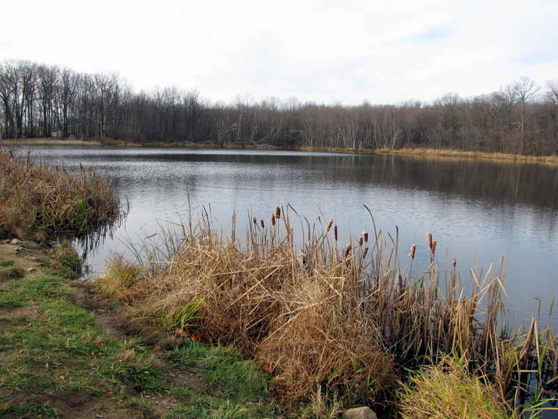
11/19/09 as described on the NY-NJ Trail Conference website. It's a very varied hike which goes through old farm land, past a lovely pond (where there were
signs of beaver activity), down a steep descent
on something called the "Geology Study Trail" (you can downloaded the self-guided tour, which includes explanations of six different stations, online), and then along the
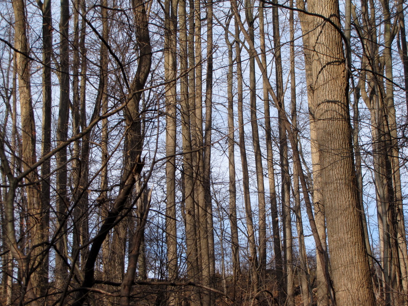
ravine, before climbing quite steeply back up the mountain, and then heading past the pond once again and back to the car. This morning we encountered a flock of
wild turkeys (there must have been at least a dozen of them). They quickly walked away from us, in single file, not convinced by our reassurances that we were
vegetarians ... it's probably too close to Thanksgiving for them to take any chances!
Total distance hiked today was just over 3.5 miles in about 2.5 hours. (Click on the thumbnail to bring up a bigger image in a pop-up window)
|
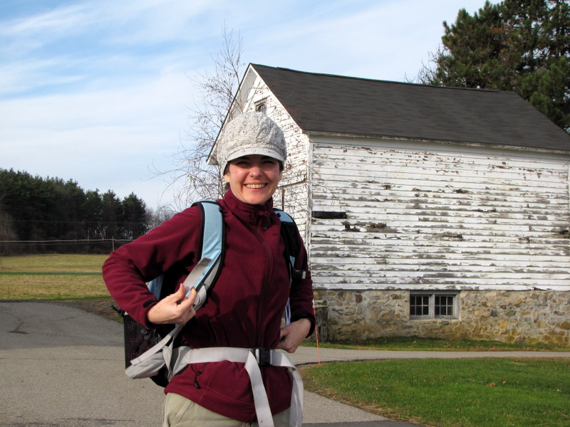 Old barns at the parking area |
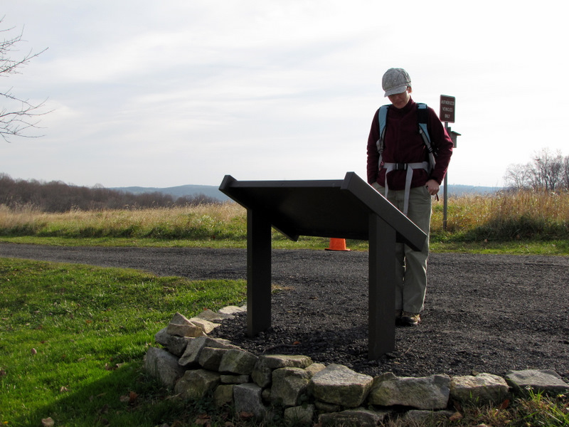 Sign about the old farm |
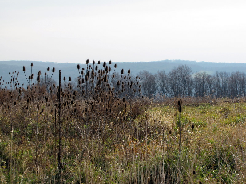 View towards the valley |
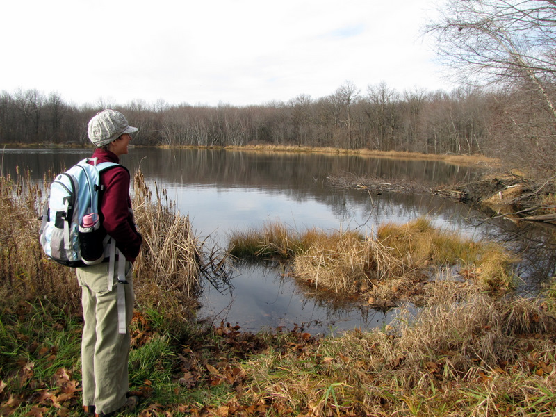
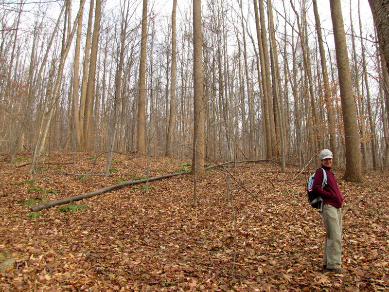
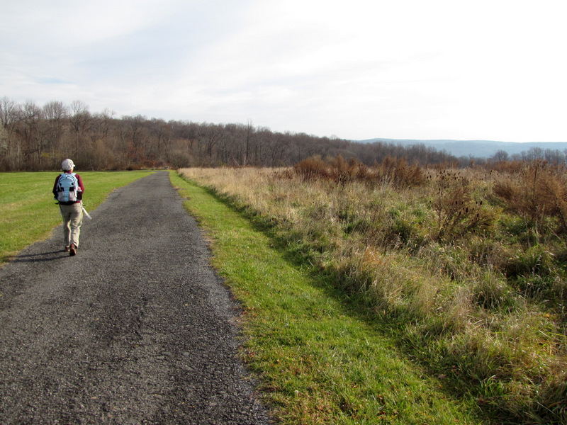 On the Pond trail |
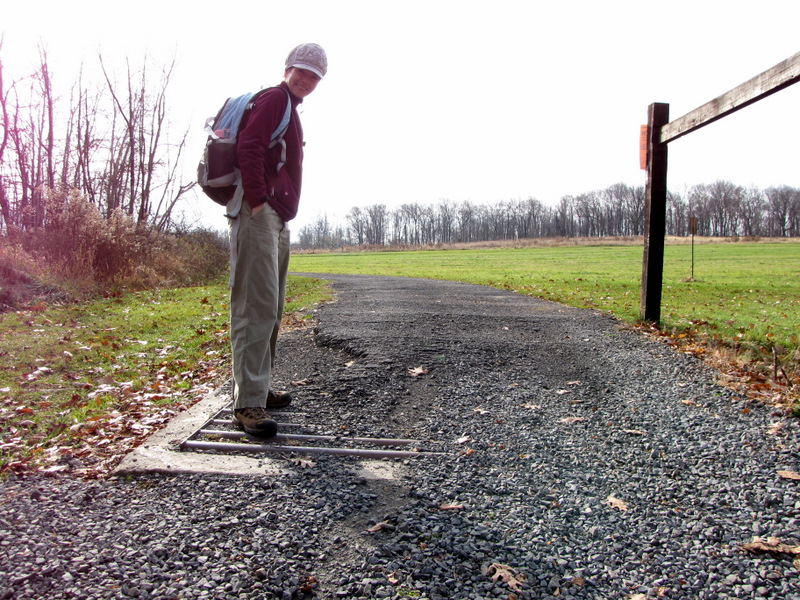 Cattle guard |
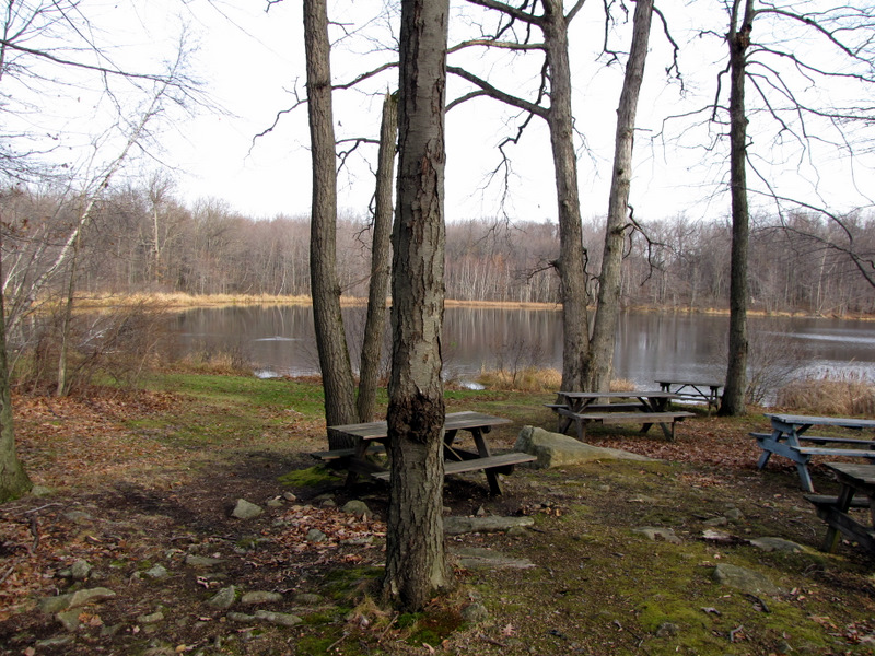 Picnic tables by pond |
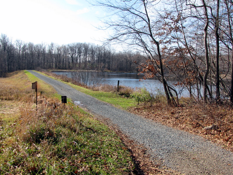
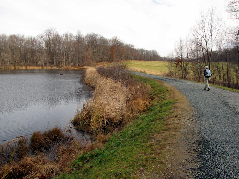 Road along the pond |
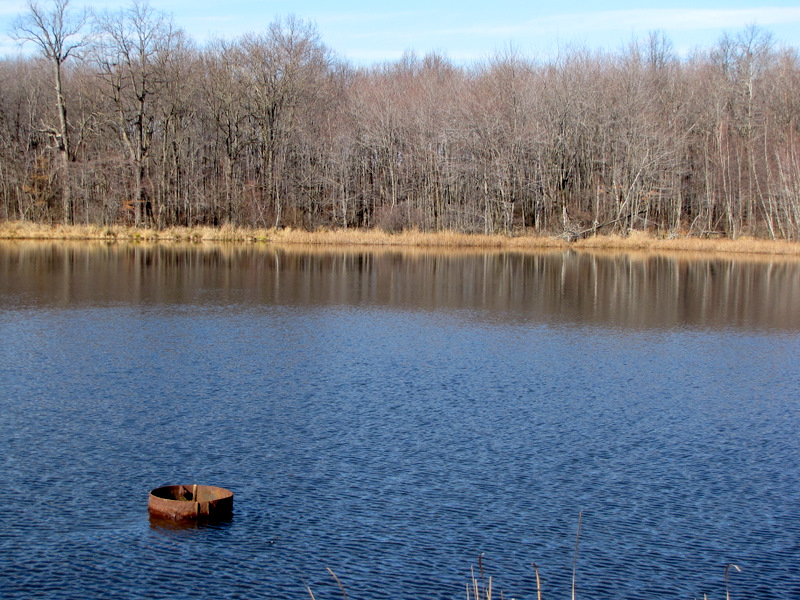
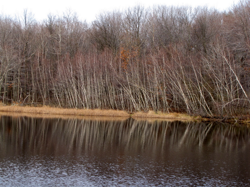 Reflections |
 |
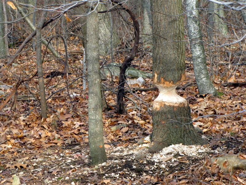 Beaver signs! |
 |
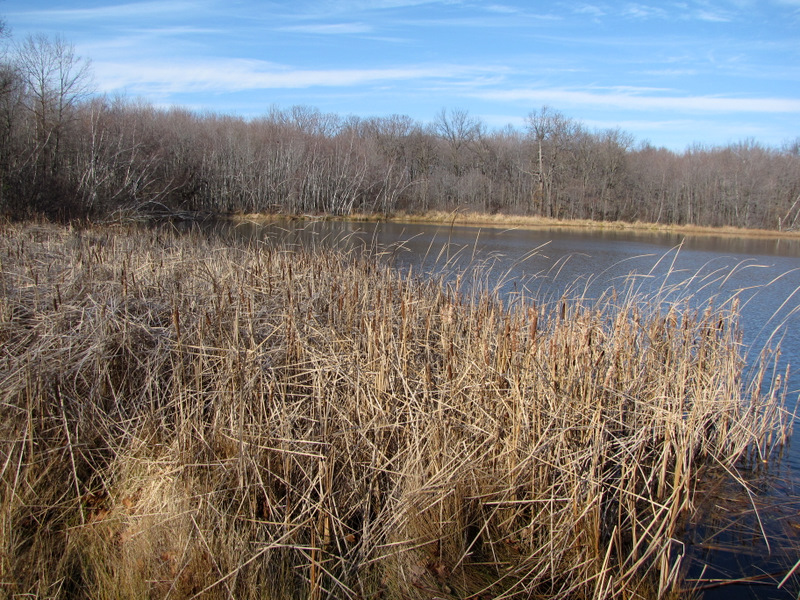
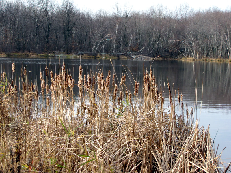 Cat tails |
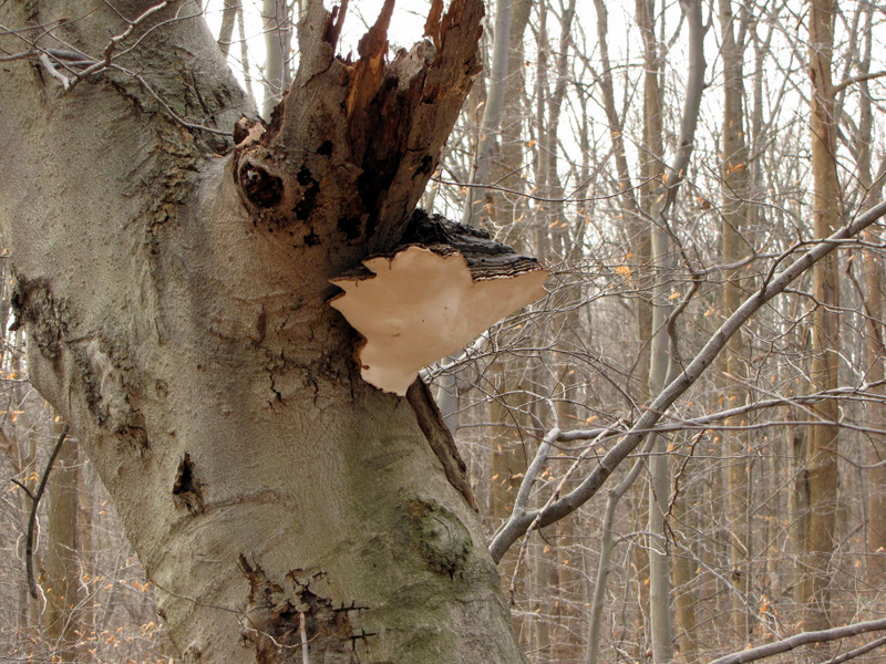 Huge mushroom |
 |
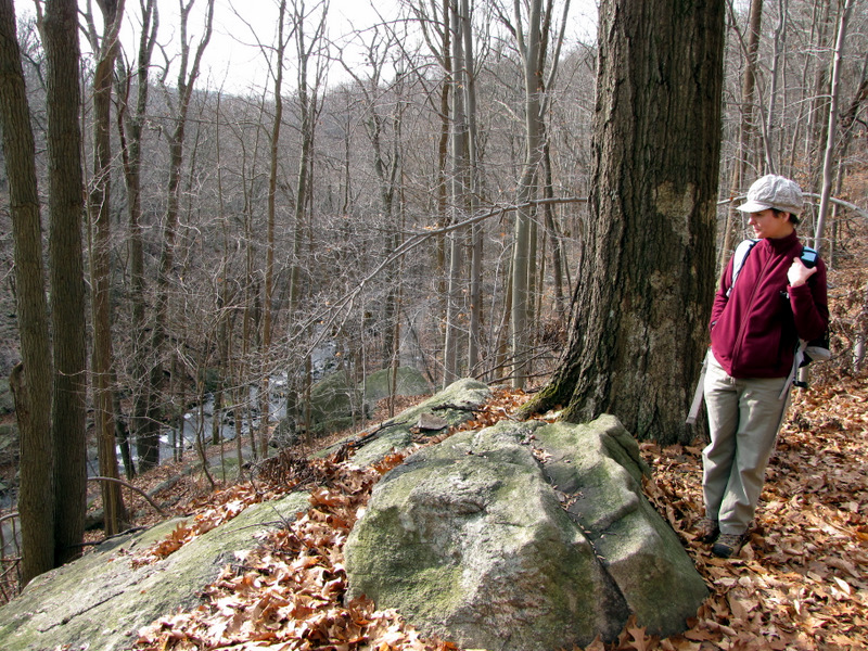
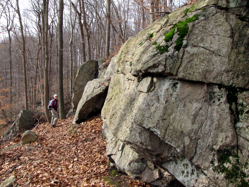
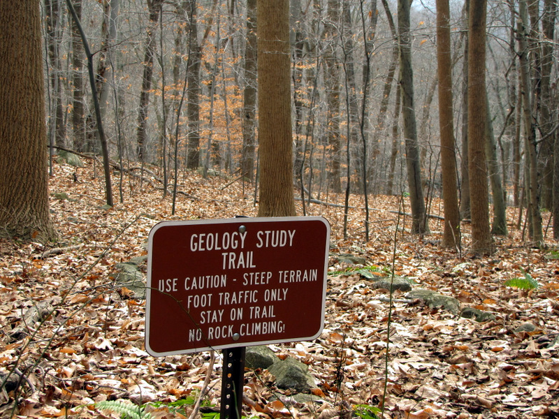 The Geology Study Trail |
 [Photo by Laura] |
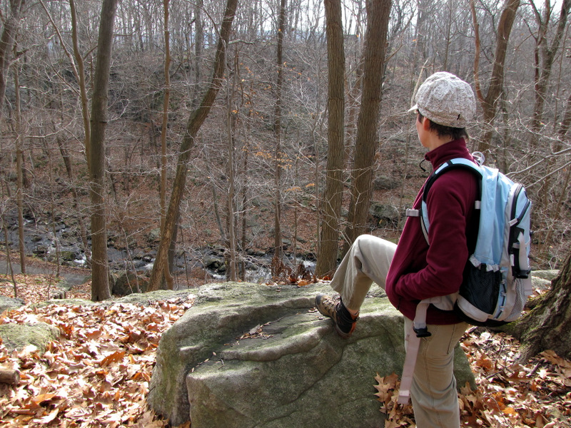 View to the ravine |
 |
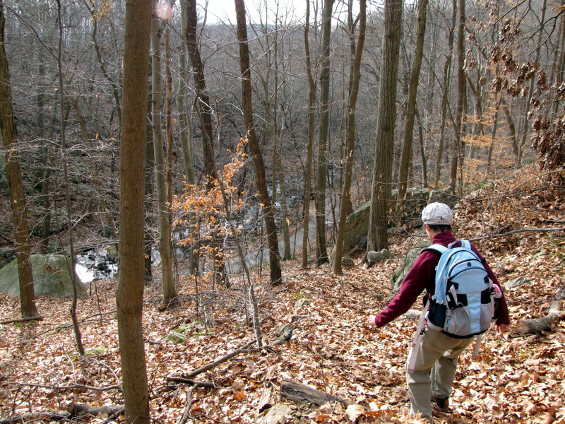 Heading down |
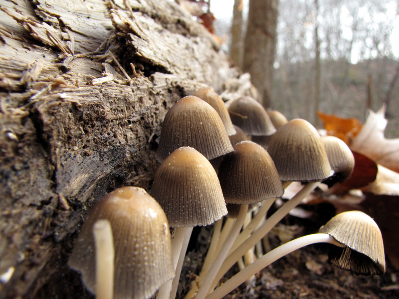 Mushrooms |
 |
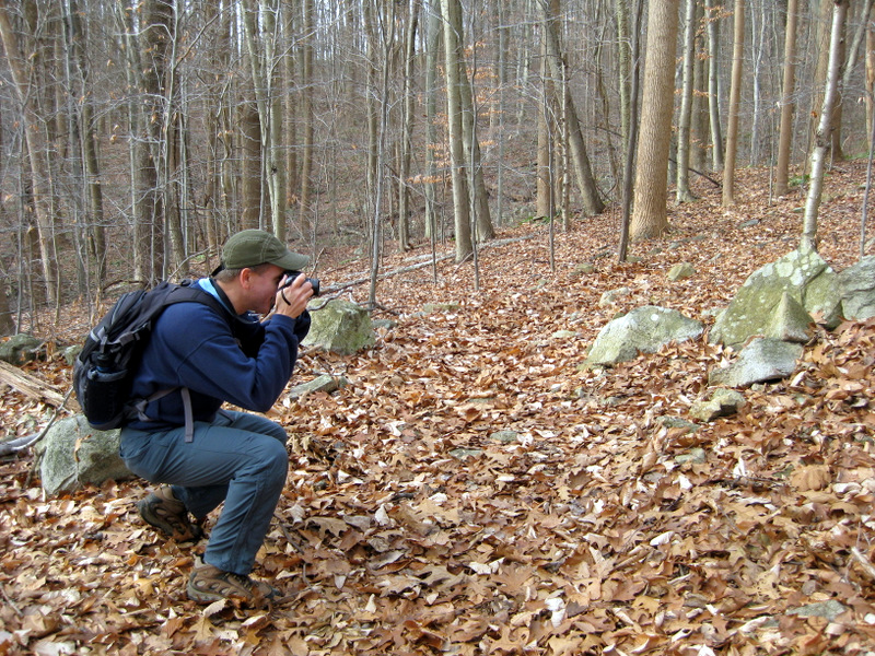
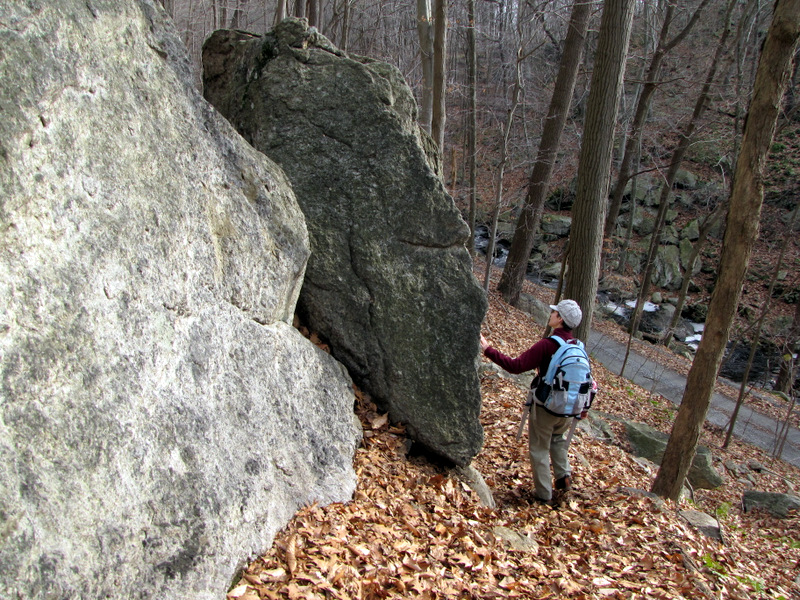
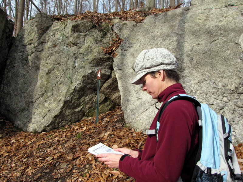 Reading about station 4 |
 [Photo by Laura] |
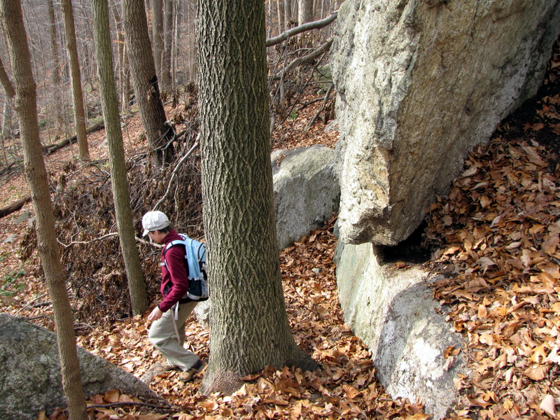 |
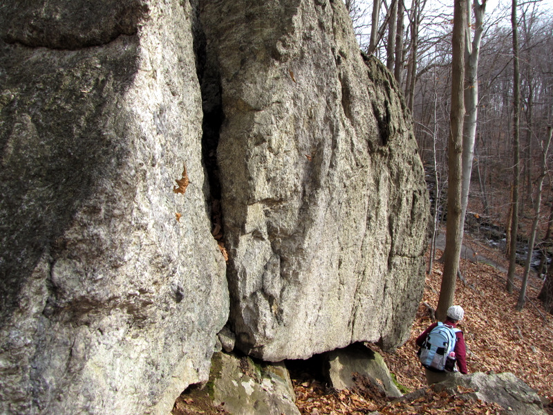
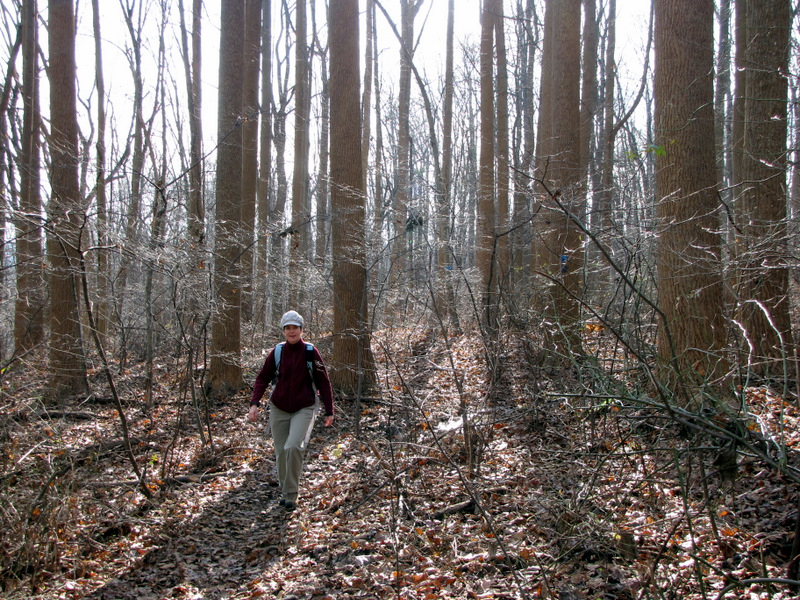
 Continuing the descent |
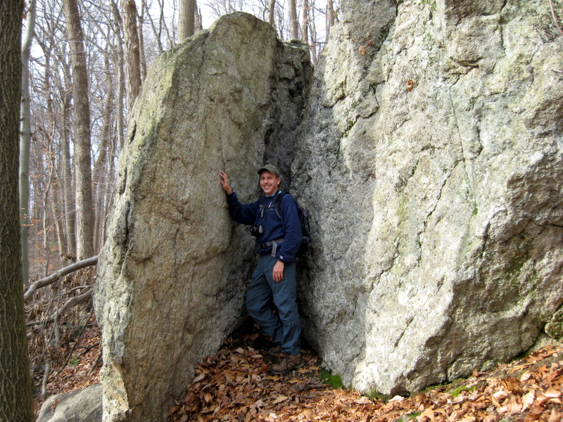
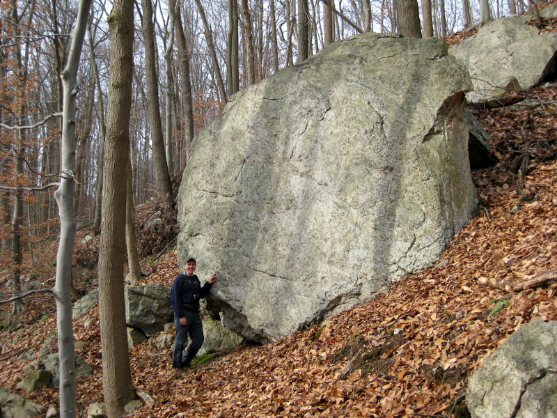 Dan and gneiss [Photo by Laura] |
 |
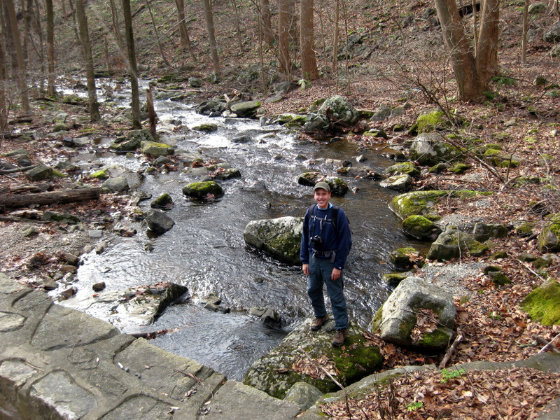
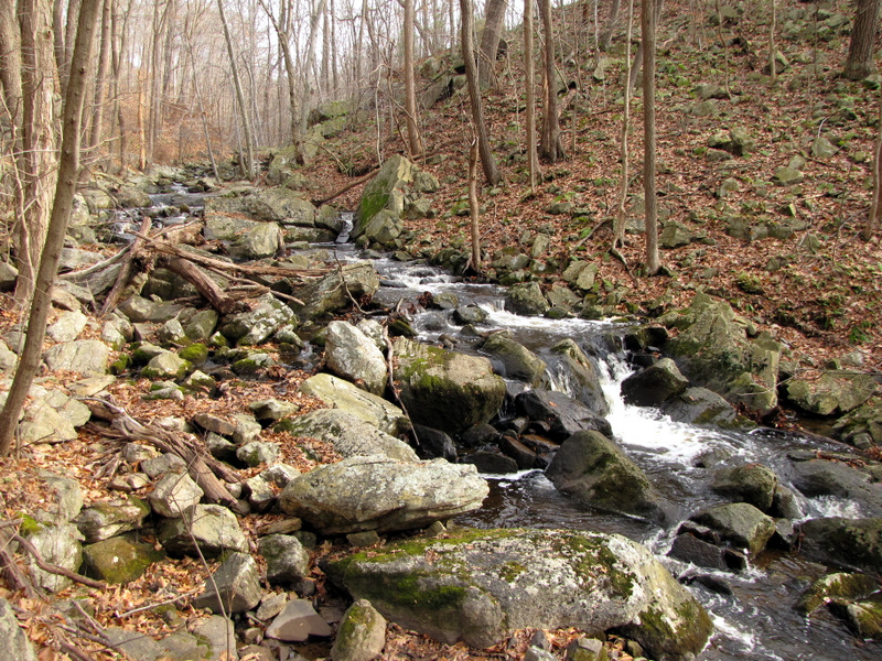 Hollow Brook |
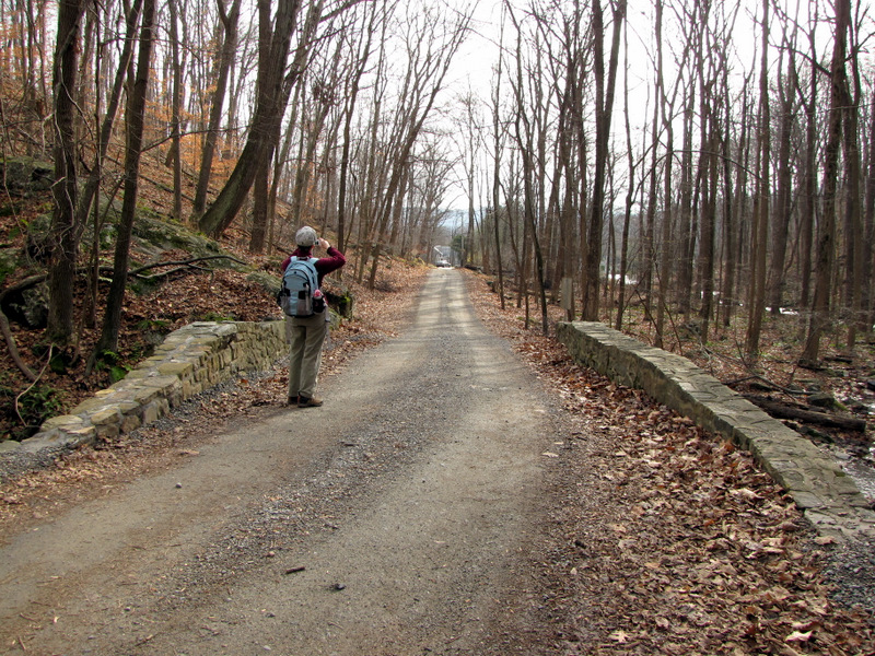
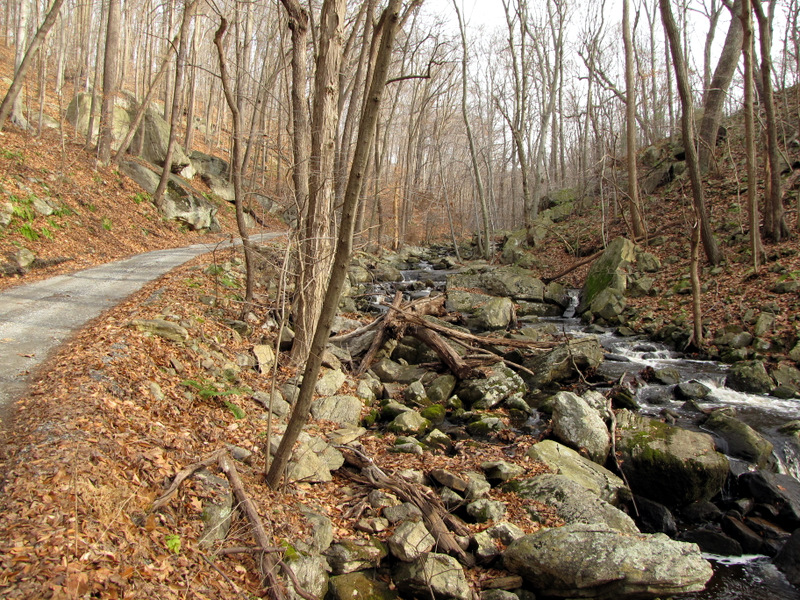 Hollow Brook and road |
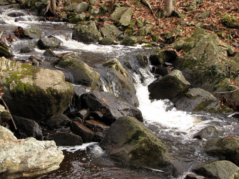 Cascades |
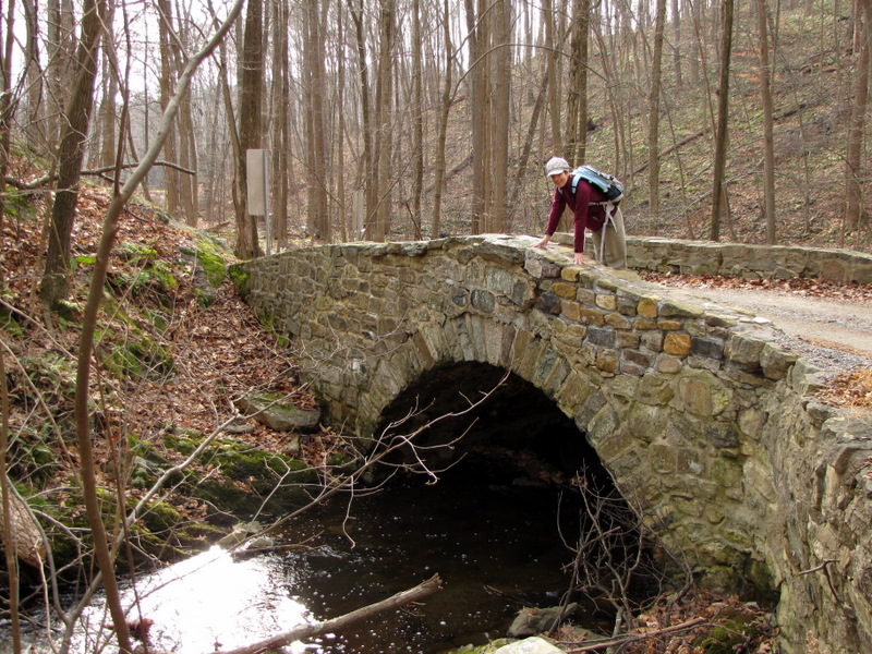
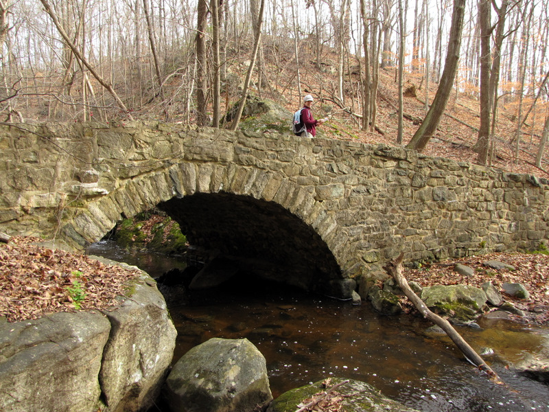
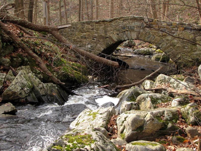 Stone arch bridge |
 |
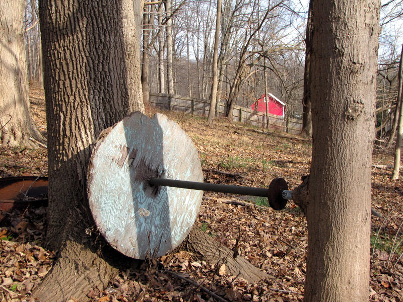
 Merv Griffin used to own this land |
 [Photo by Laura] |
 |
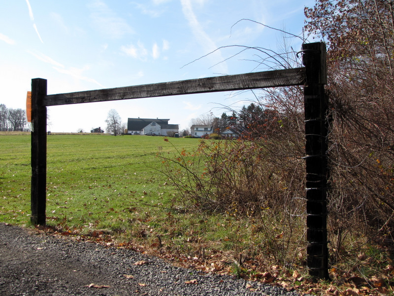
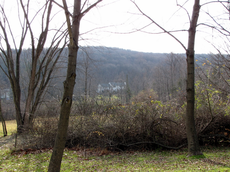 View from Teetertown Road |
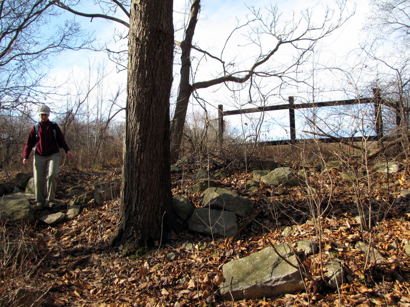
 Foundation ruins |
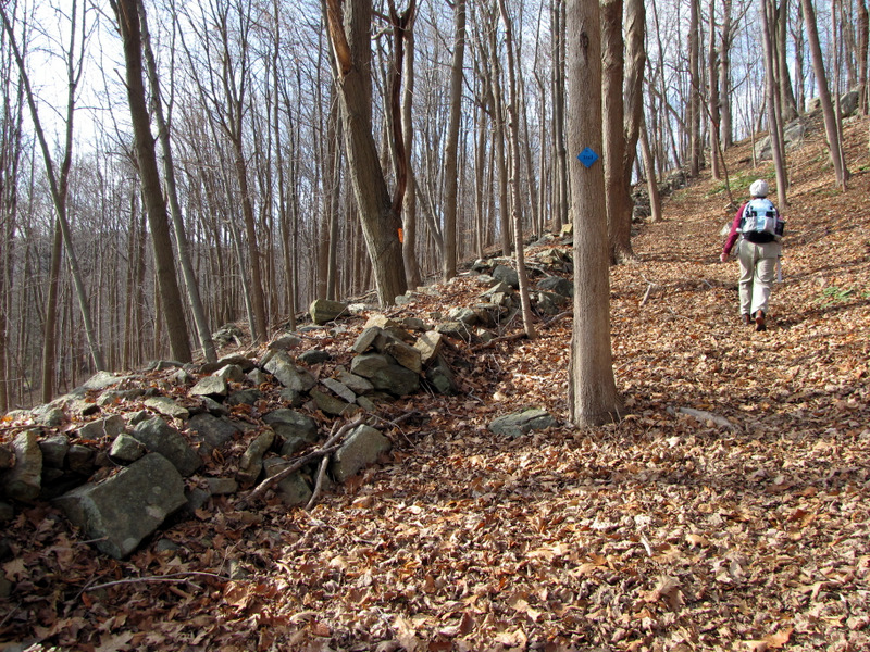
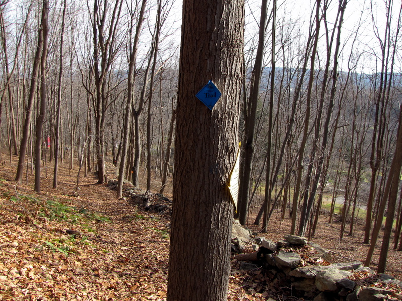
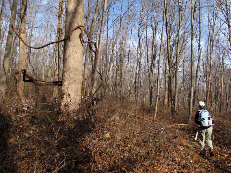
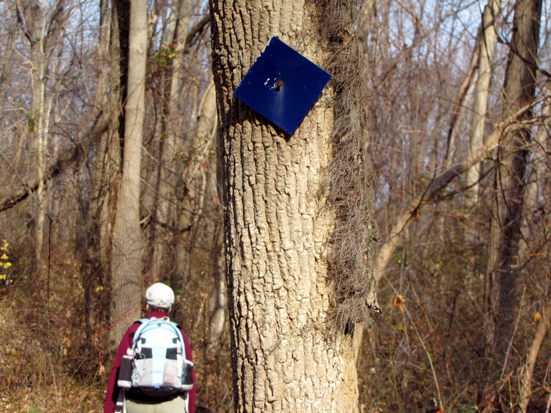
 On the Blue Trail |
 A steep climb |
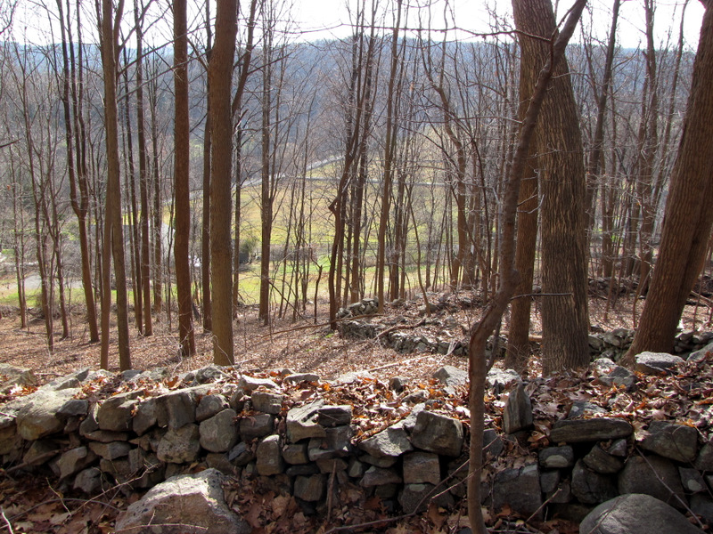 View to the valley |
 View down the trail |
 |
 Poison ivy |
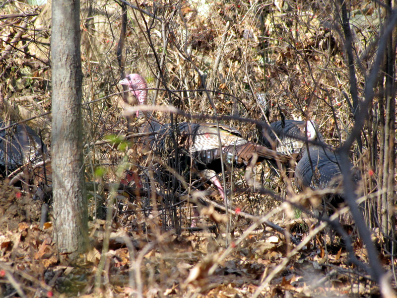 Wild turkeys |
 On the Blue trail |
 |
 |
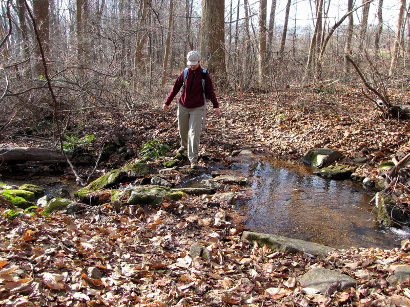 Creek crossing |
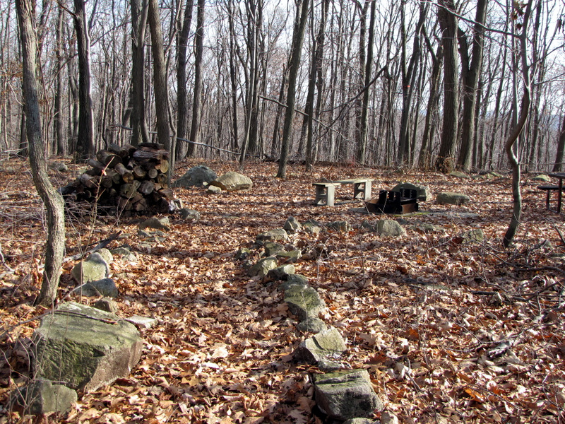 One of several campsites |
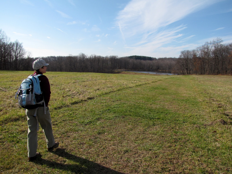 Crossing the field |
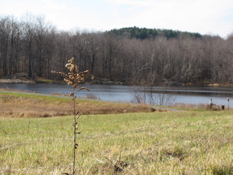 Golden rod |
 Pond trail |
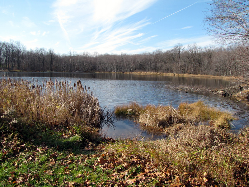 Back to the pond |
 Drainage |
 |
 |
 |
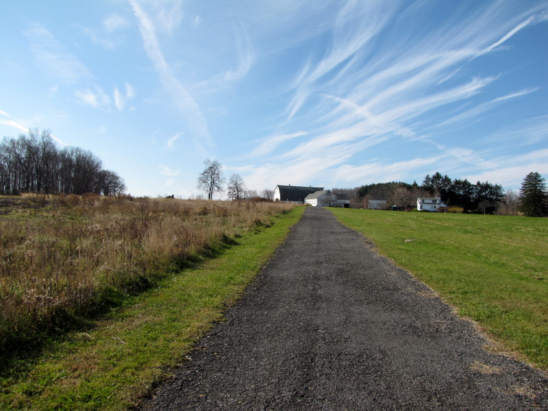 Farm buildings at trail head |
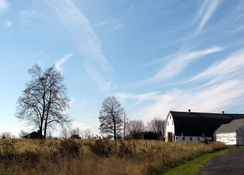 Striking sky |
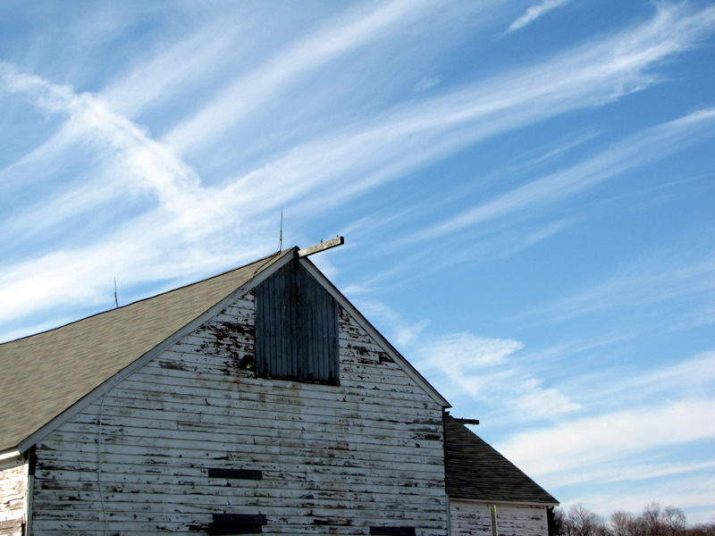 Barn detail |

|
|
Photographs and content copyright © Dan Balogh Web design by Dan Balogh |