 |
|
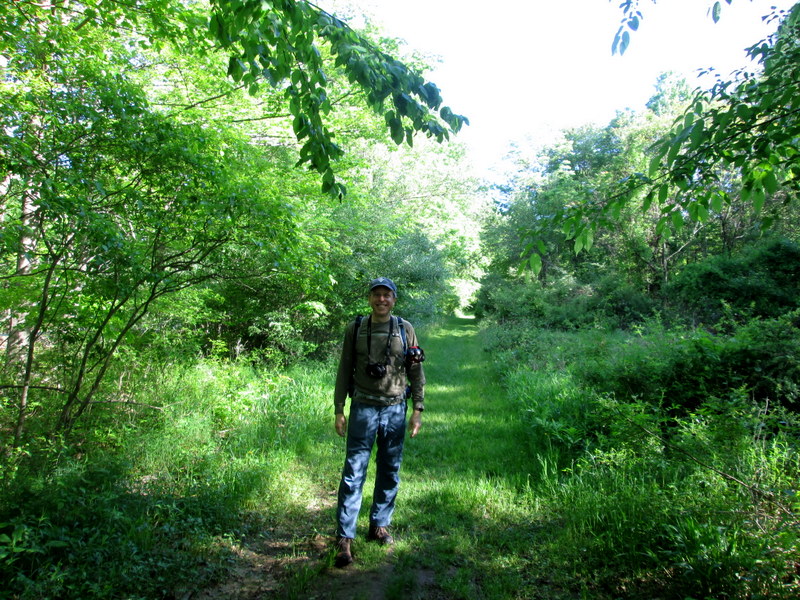
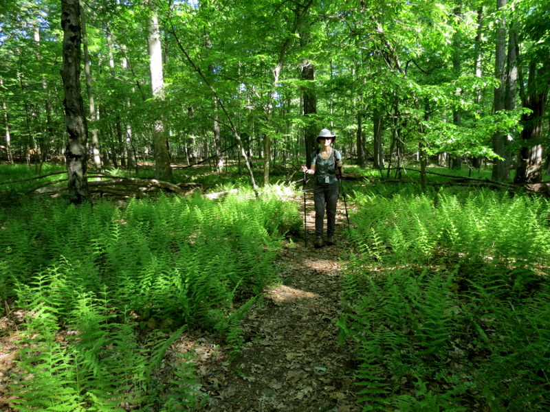
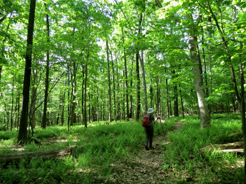
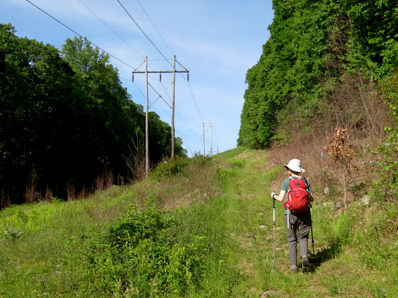
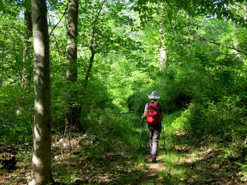
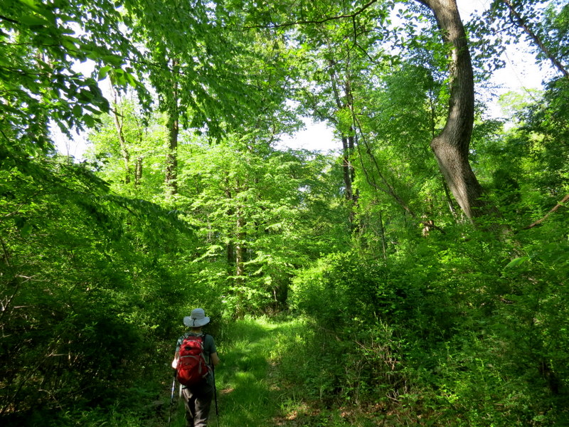
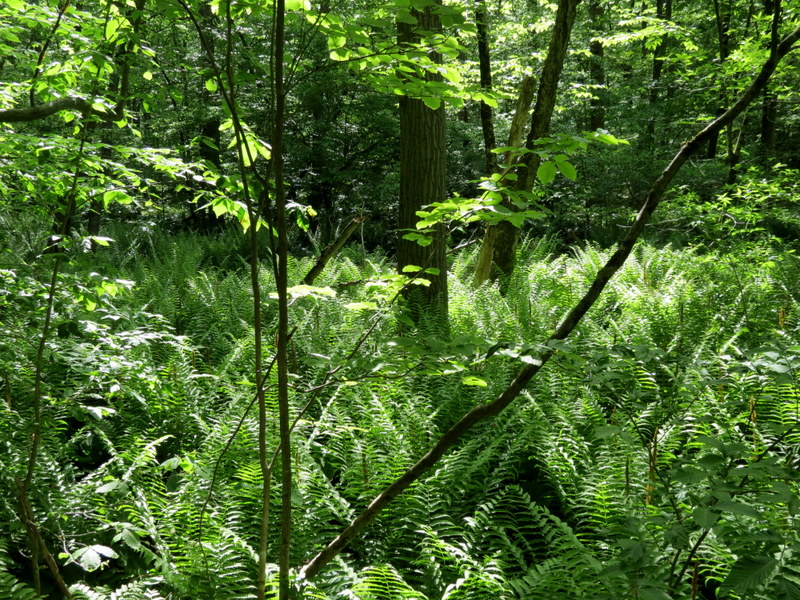
We hiked this area almost exactly six years ago, so we thought we'd return and do it again.
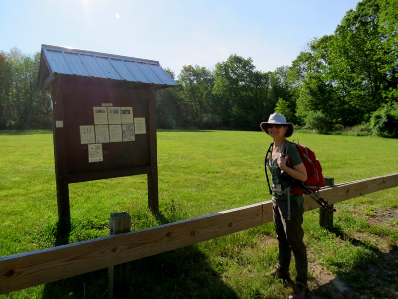
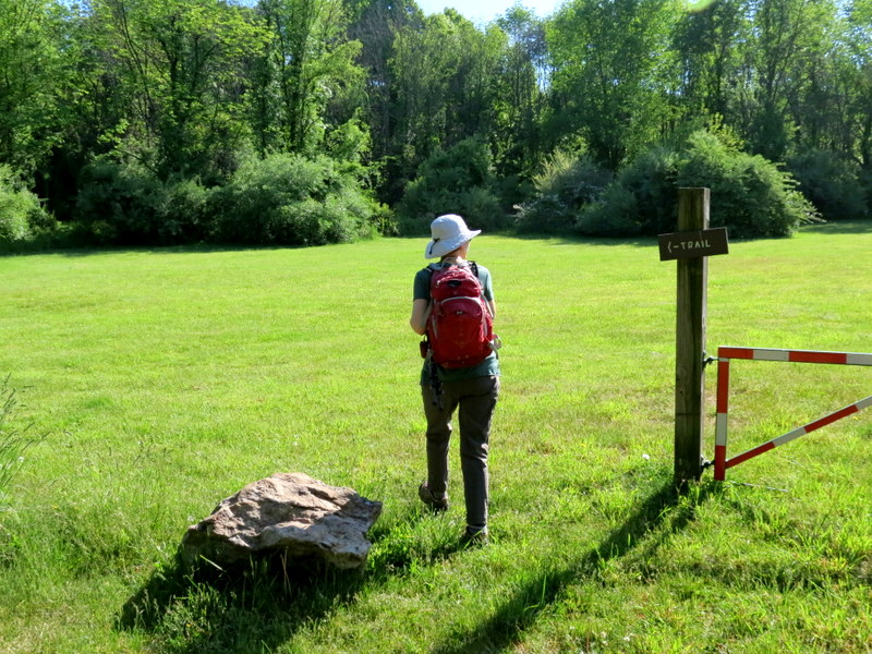
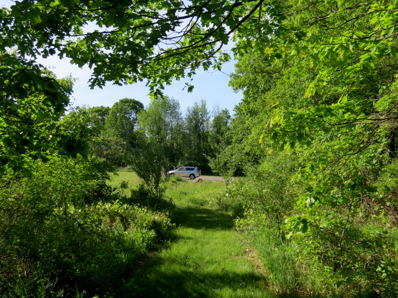
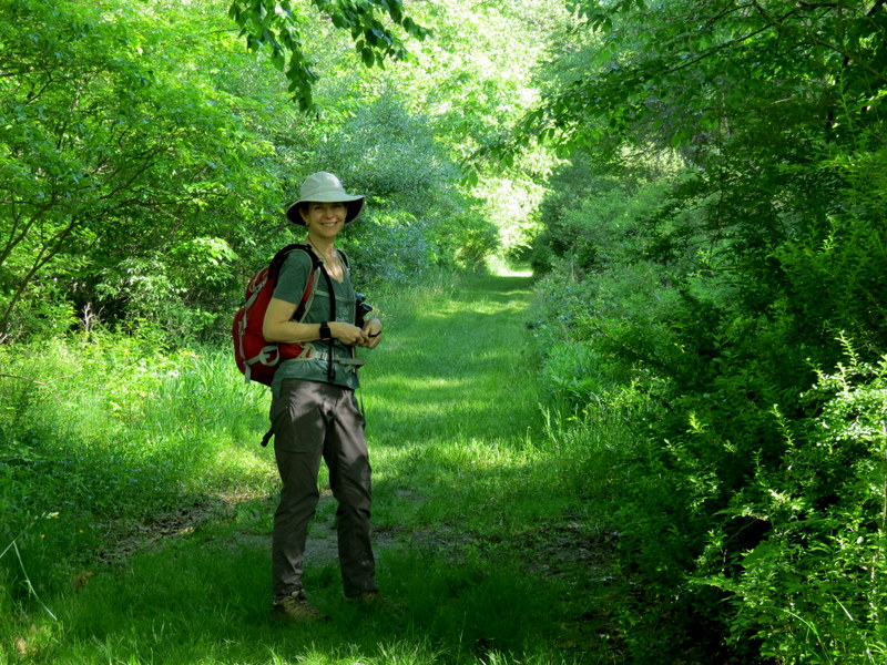
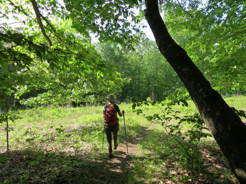
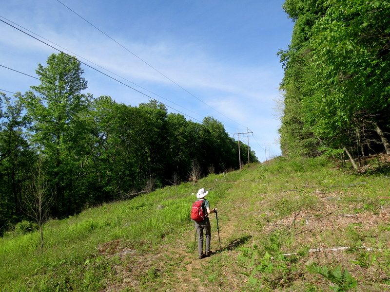
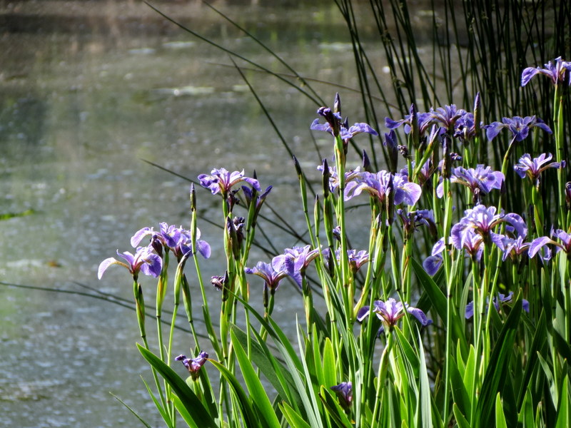
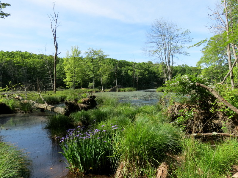
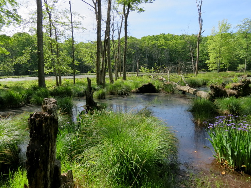
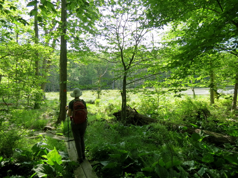
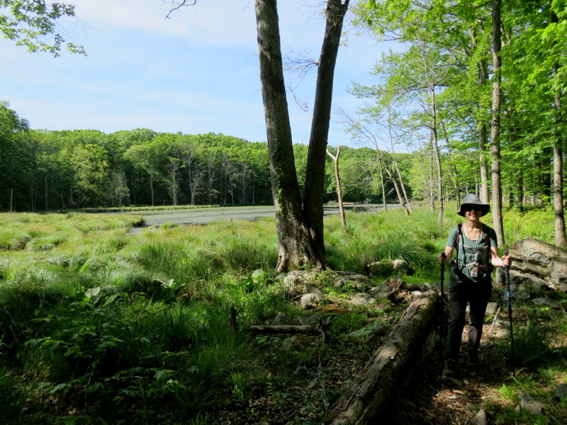
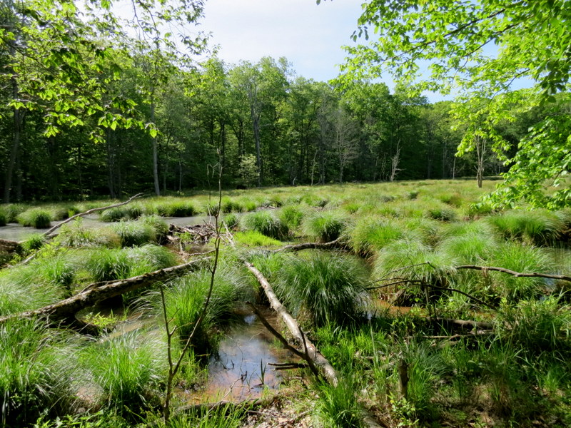
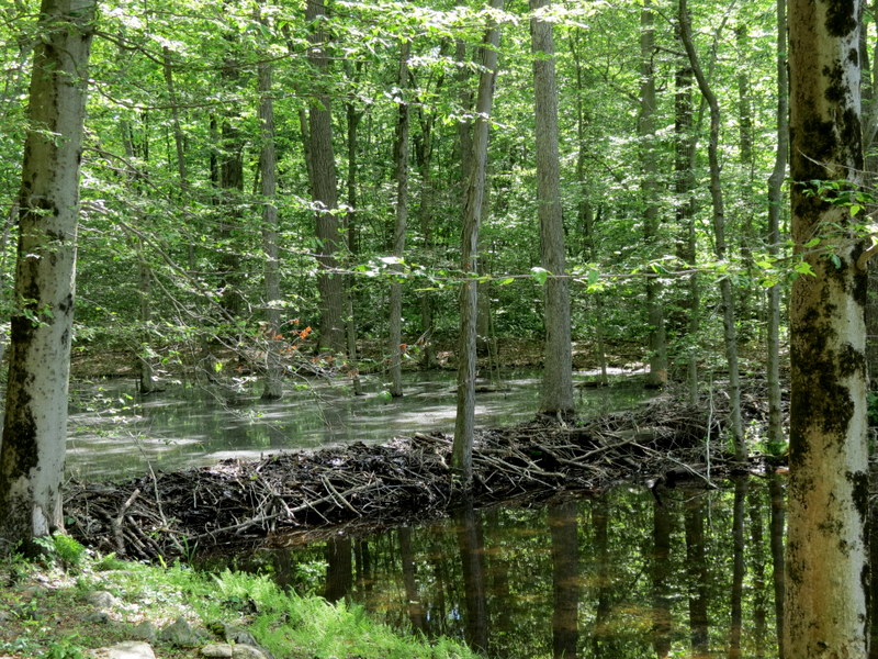
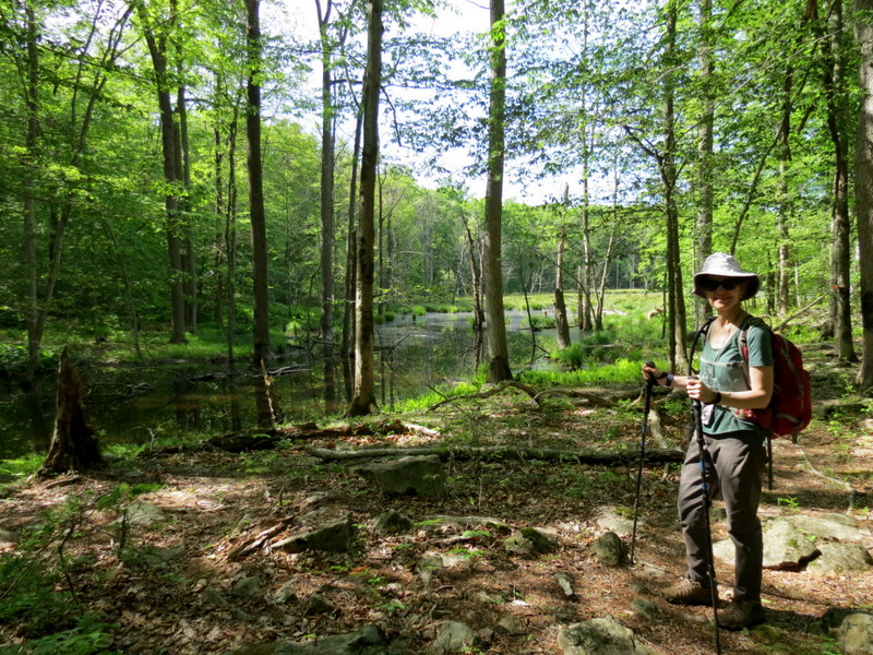
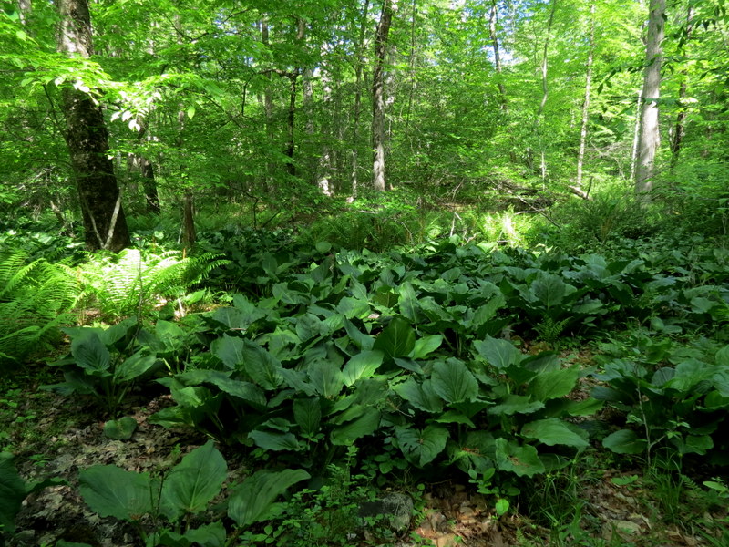
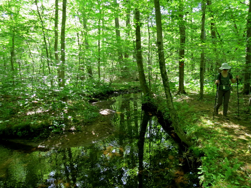
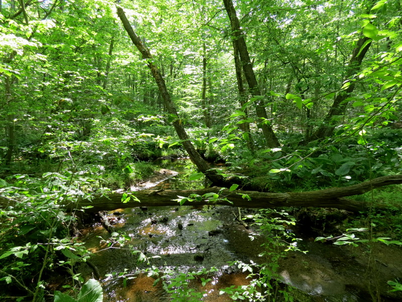
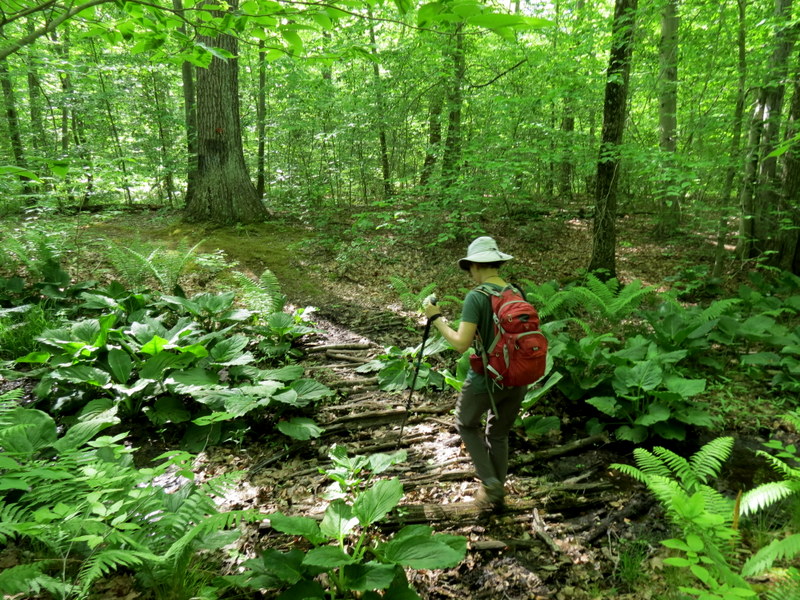
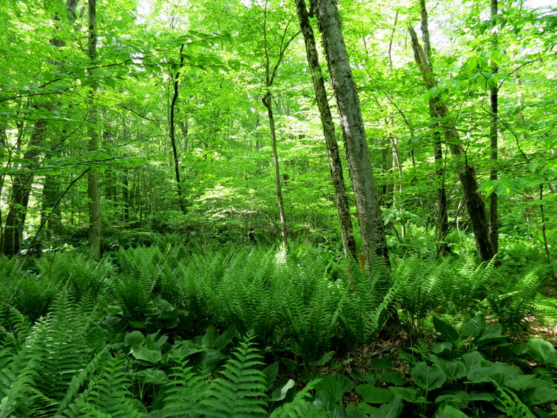
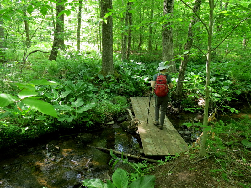
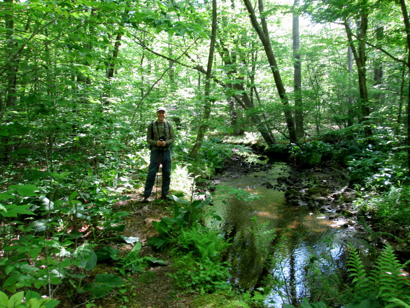
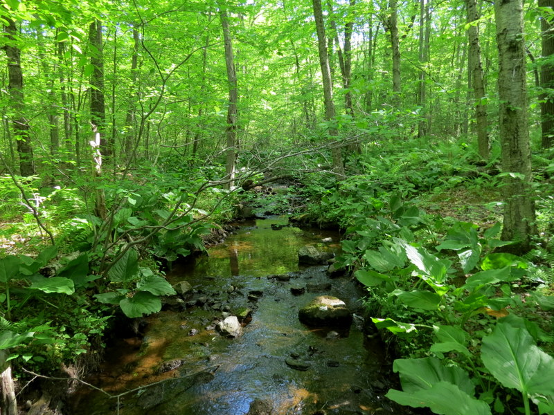
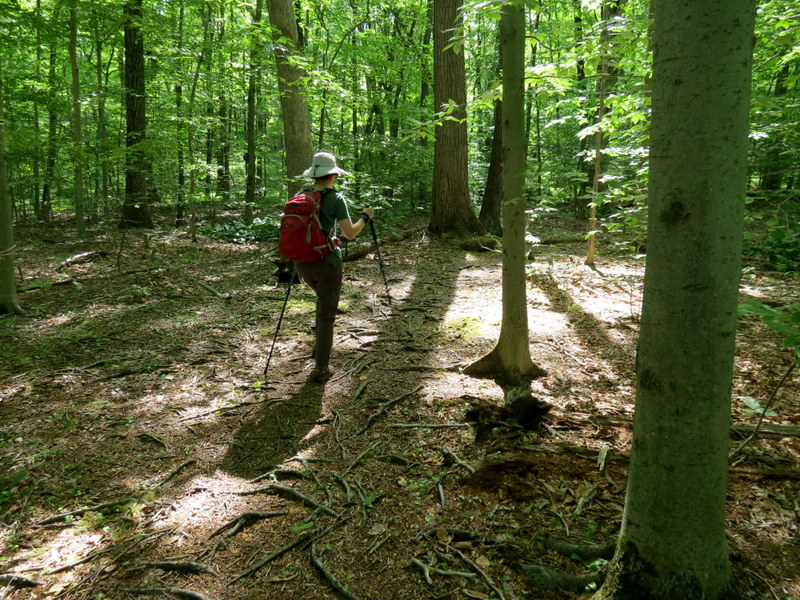
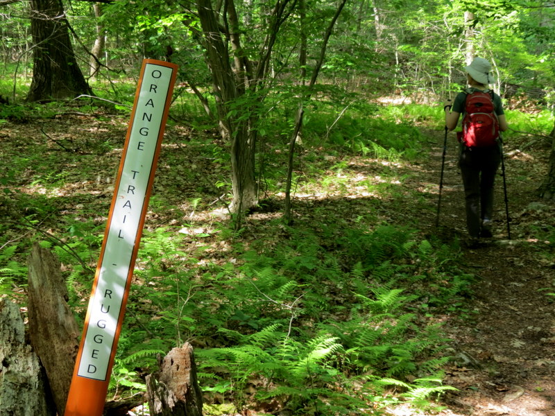
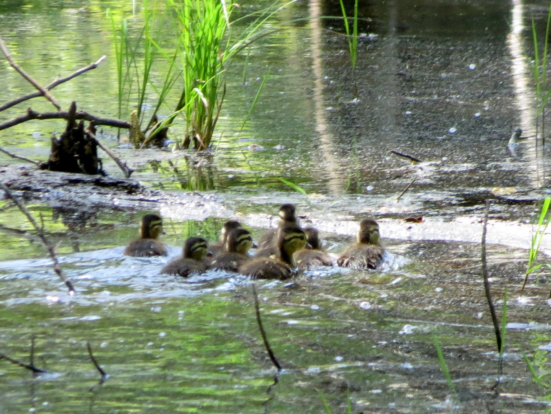
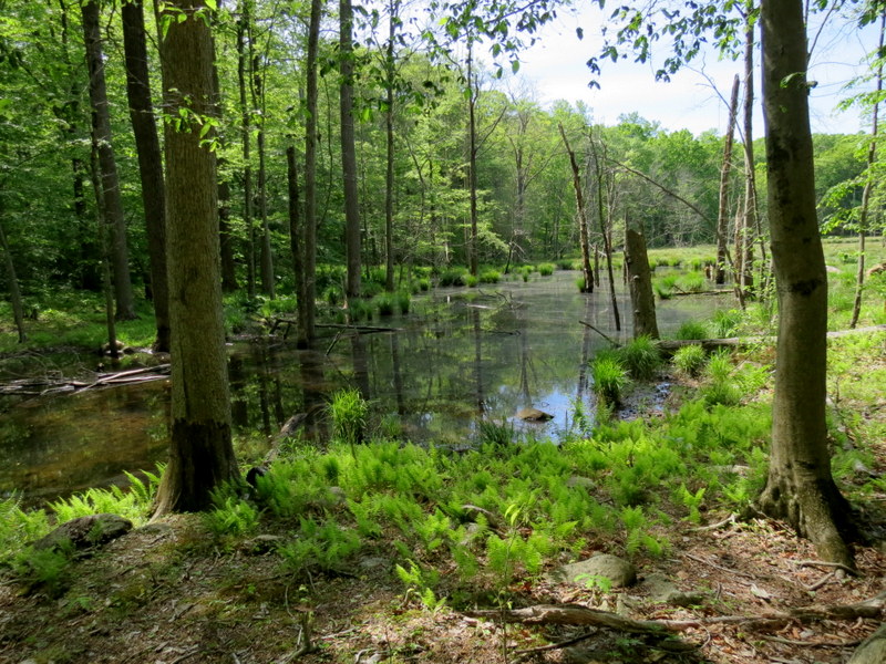
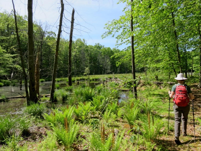
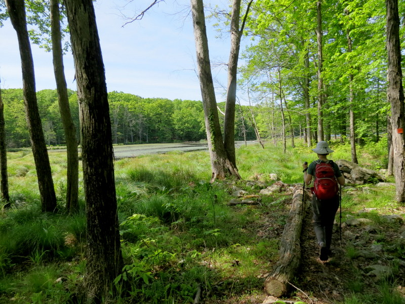
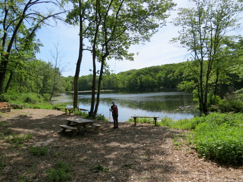
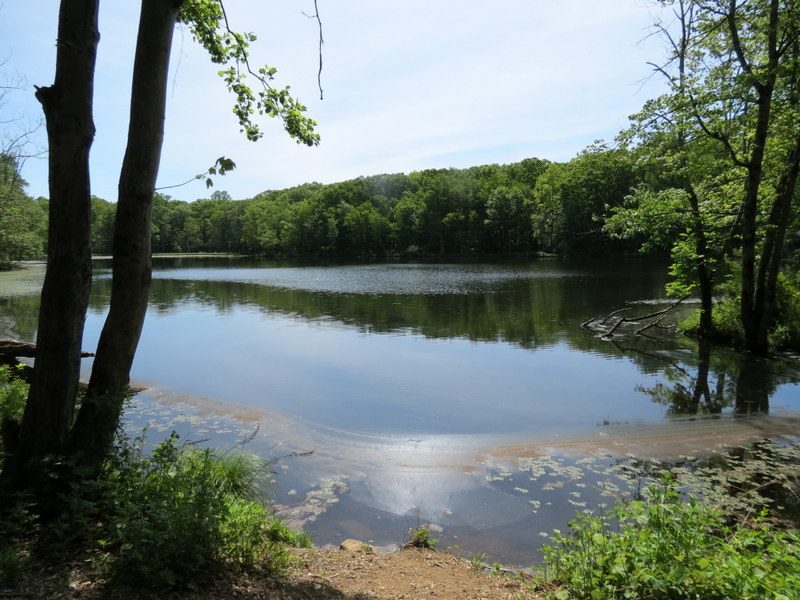
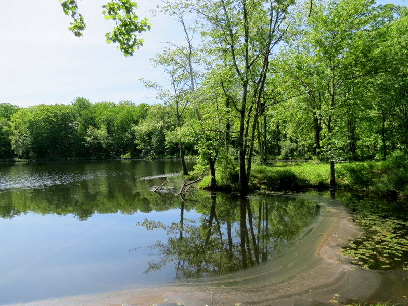
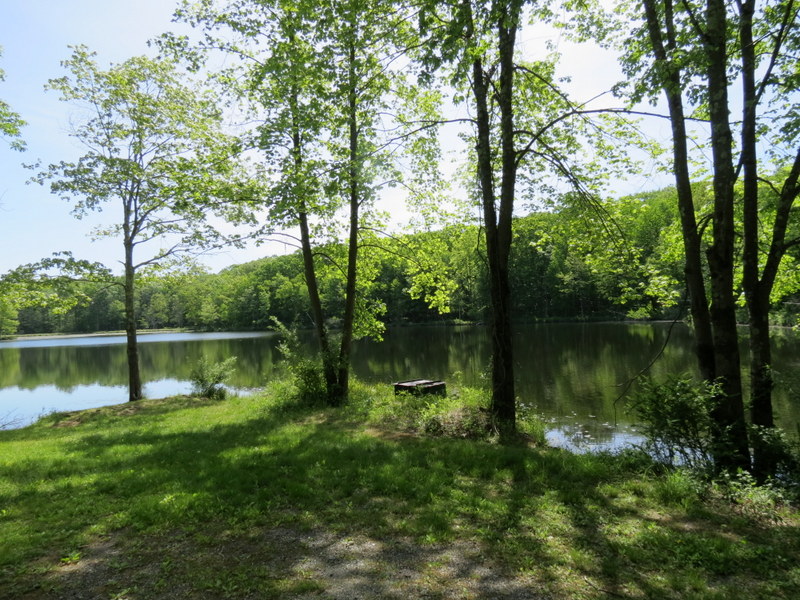
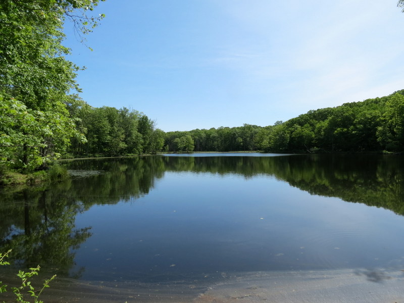
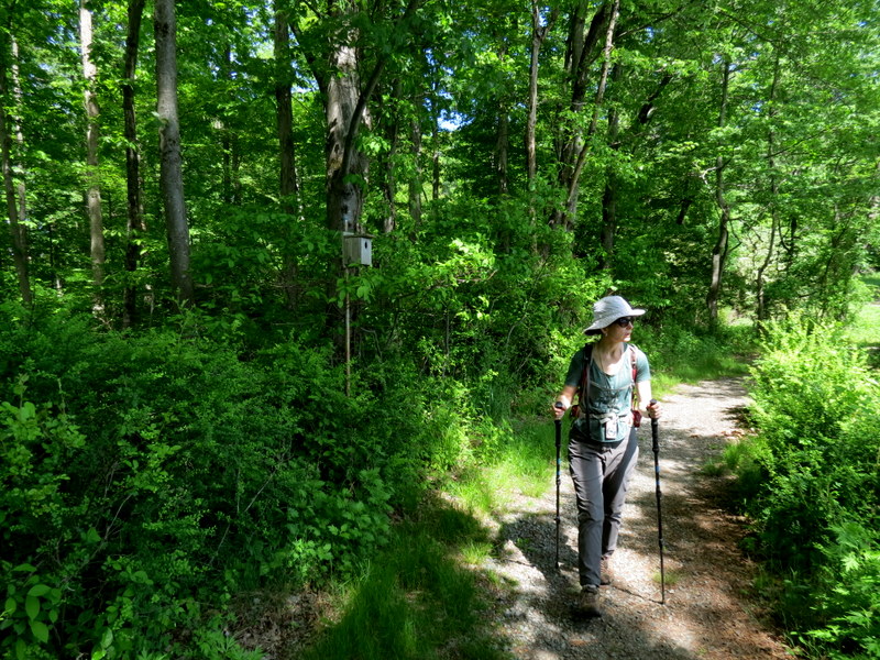
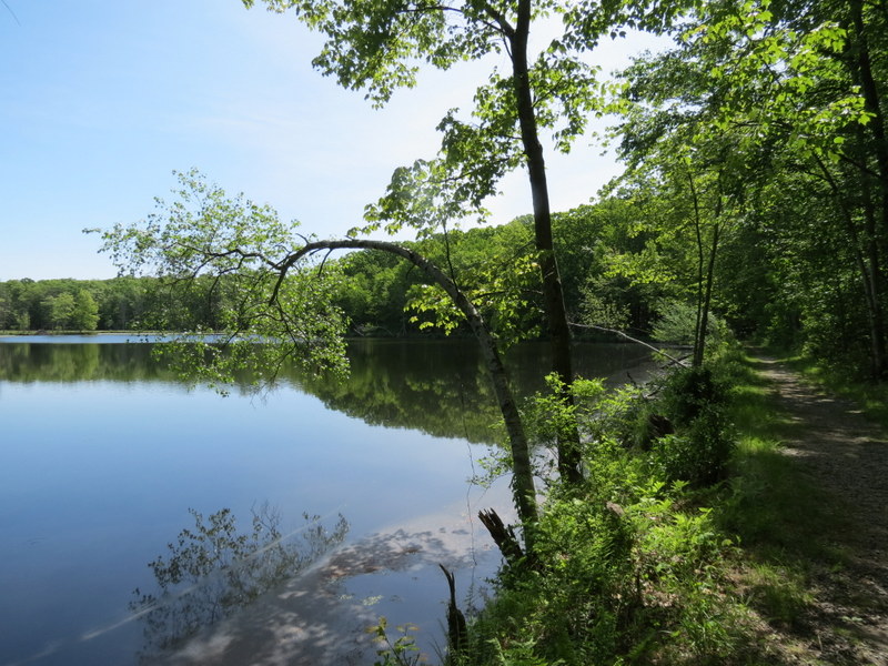
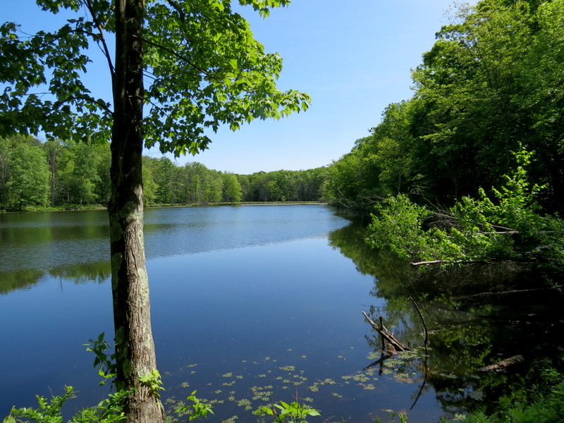
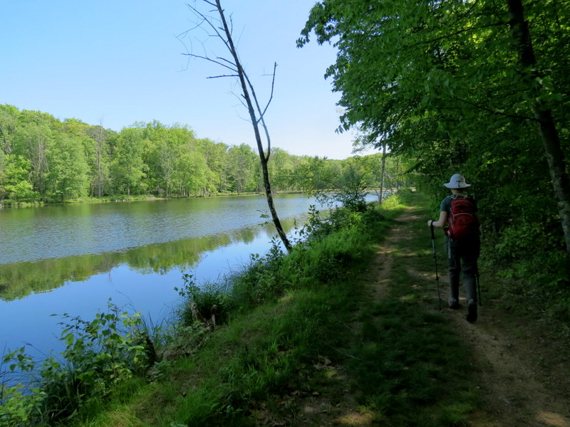
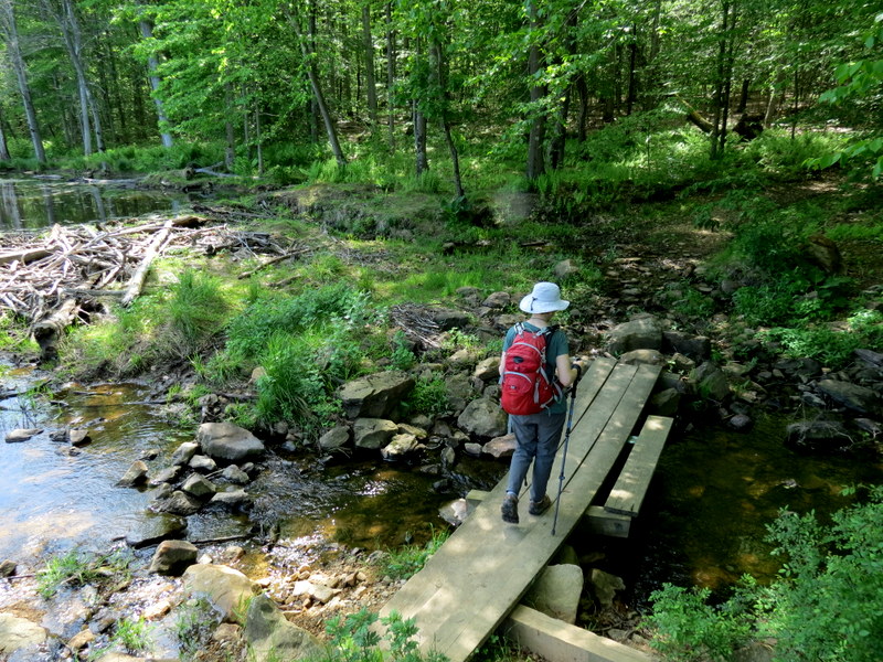
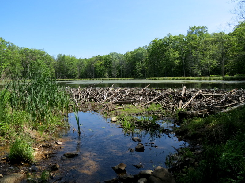
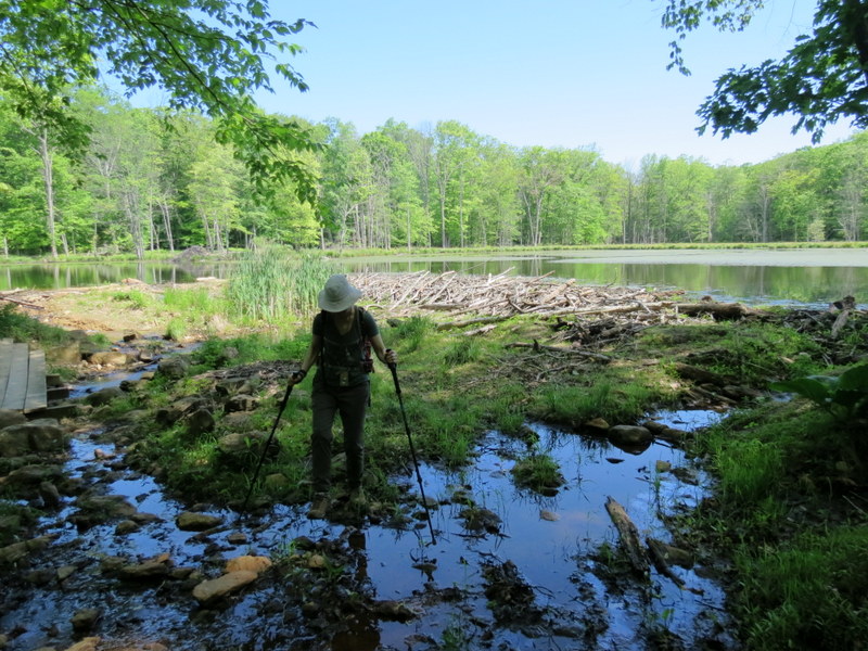
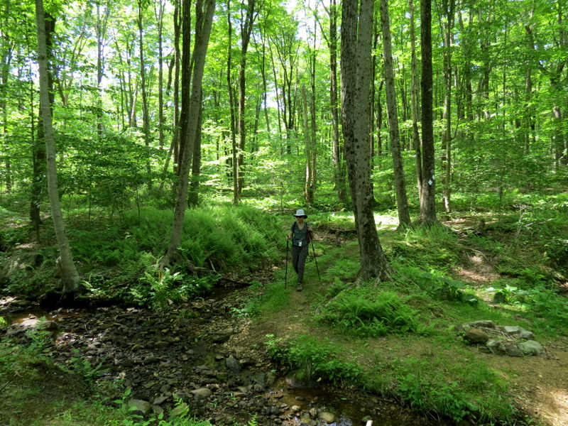
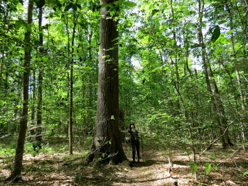
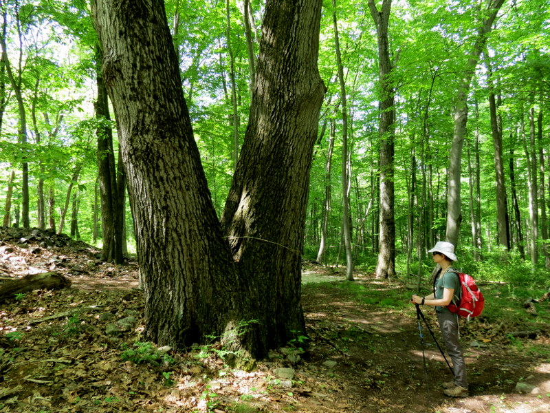
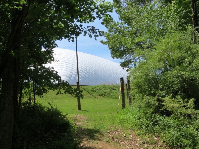
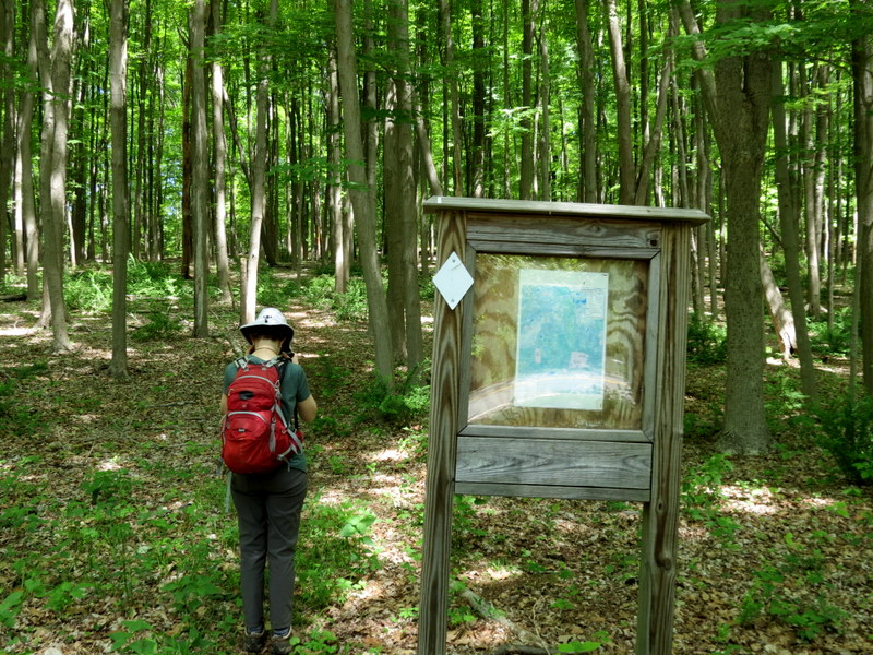
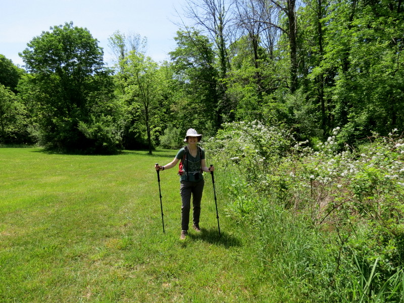
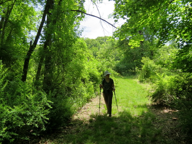
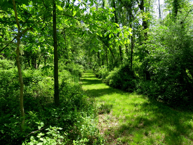
Using this map, we parked in the large dirt lot (not indicated on this map) off Flanders Road, about where the Yellow and White trails on the map cross. We headed north on White, doing the small road walk on Flanders Road first, earlier in the day when the traffic is less. Entering the built-up part of the park on an access road, following the white blazes, we quickly continued on another trail blazed in round white reflectors. This we took east to the main white trail which we stayed on until we got to the western end of Orange (at Maiers Pond). We took Orange to its eastern end, skirting a gorgeous swamp. At the end, we turned and retraced Orange back to Maiers Pond, next skirting the southern bank following White. We then took White all the way back to the car. Total distance walked was 5.1 miles in about 3 hours.
|
 |
 |
 |
 |
 |
 |
 |
 |
 |
 |
 |
 |
 |
 |
 |
 |
 |
 |
 |
 |
 |
 |
 |
 |
 |
 |
 |
 |
 |
 |
 |
 |
 |
 |
 |
 |
 |
 |
 |
 |
 |
 |
 |
 |
 |
 |
 |
 |
 |
 |
 |
 |
 |
 |
 |
 |
 |
 |
 |
 |
 |
 |
 |
 |
 |
 |
 |
 |

|
|
Photographs and content copyright © Dan Balogh Web design by Dan Balogh |