 |
|
This lollipop hike is my own invention and spans Gurnee County Park
and South Mountain County Park in Rockland County, New York. The complete path of the hike is shown on the NYNJTC Hudson Palisades Trail Map 112 and almost
completely on this map, though the western-most part including the parking
area on Route 45, is not included. That small segment can be seen on
this map.
We parked at that lot and took the Long Path east passing several viewpoints all the way to Route 33 (where more
parking is available). At Route 33 we turned and headed back west but instead of using the Long Path we used the meandering woods road (seen on both
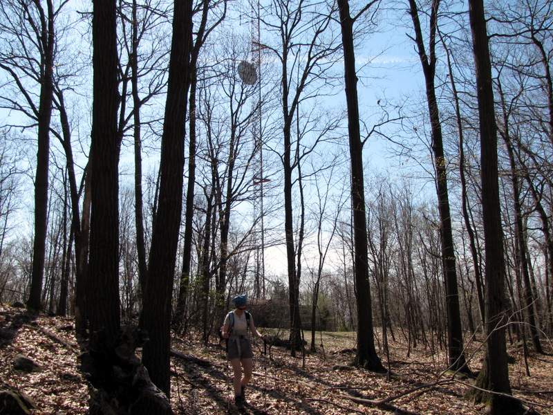
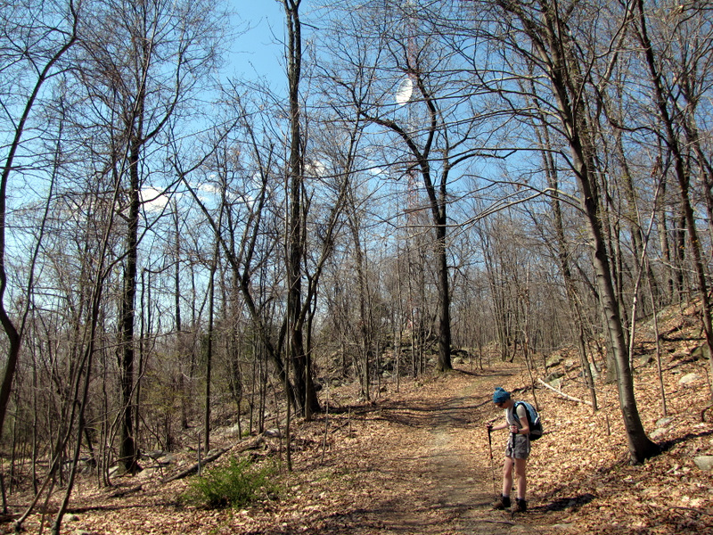
maps) which leads
to the radio tower near the center of the South Mountain County Park. At that point we got back on the LP and headed back to the car, choosing a wonderful
off-trail spot on the cliffs of Gurnee County Park for lunch.
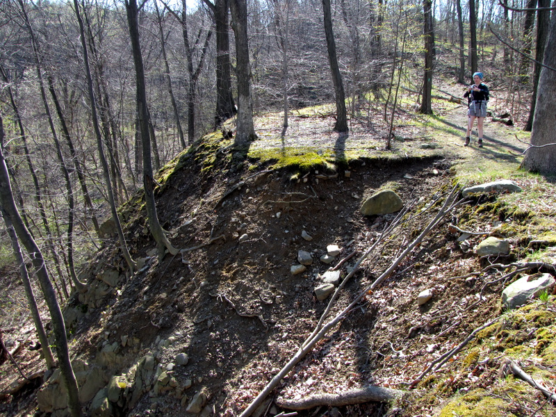
One of the more interesting parts of this hike comes right at the beginning, where the Long Path takes a somewhat steep climb just east of Route 45. It is exactly here where the entire Palisades escarpment ends, dipping right into the ground, just before Route 45. Total distance covered was just under 5 miles on this relatively hot spring day (temperatures were in the 80s), in just over 2.5 hours including lunch.
|
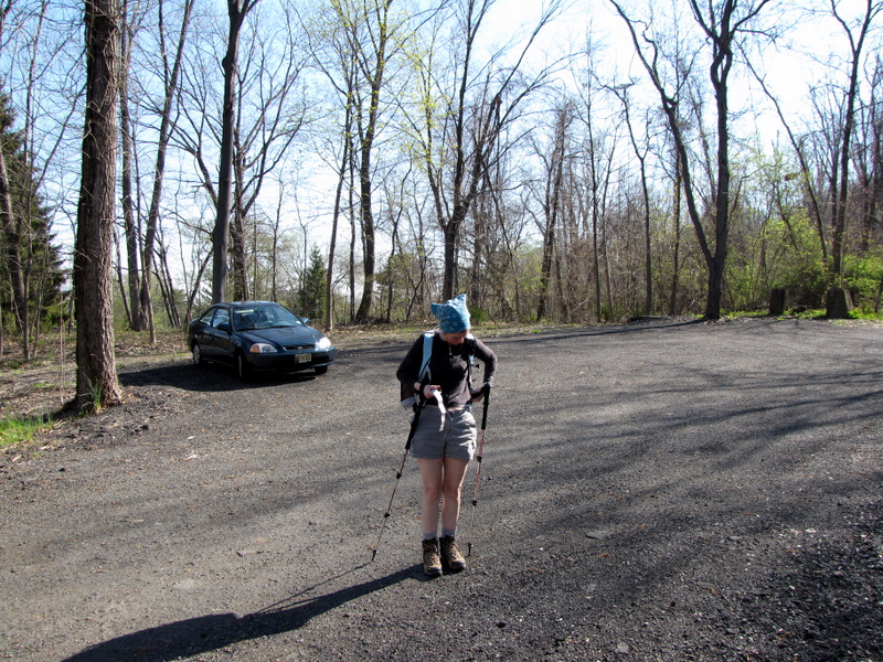 Room for lots of cars |
 The Palisades ends right here! |
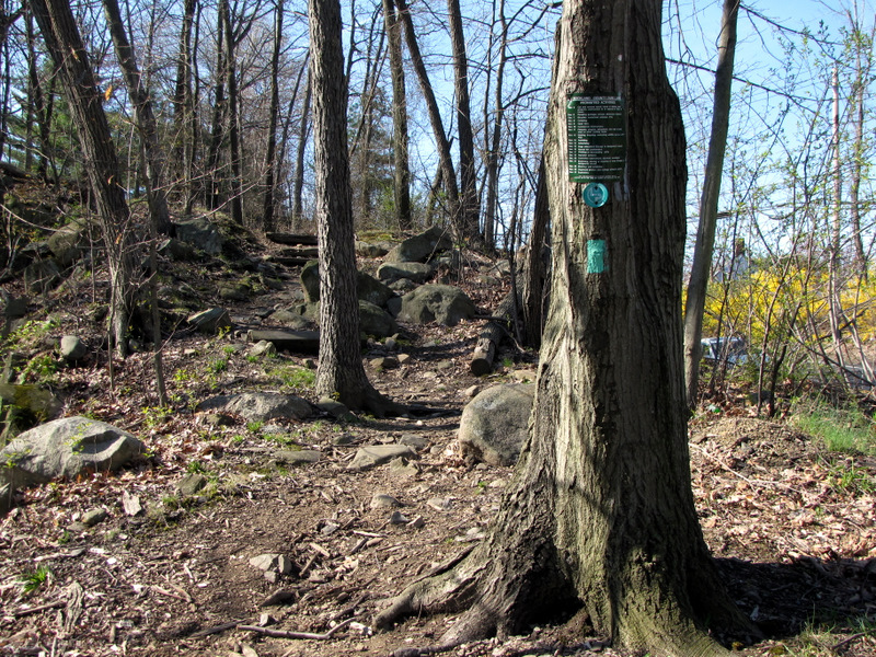
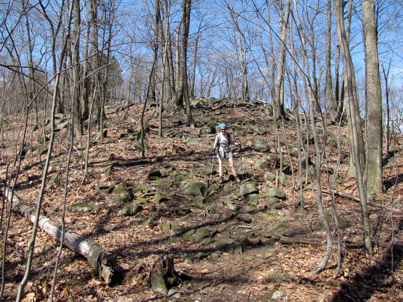
 It quickly climbs |
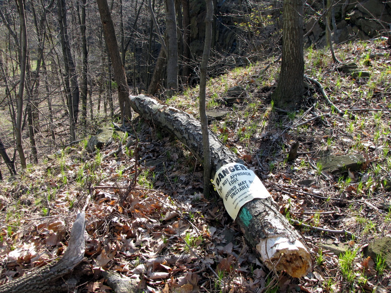 Warning sign on fallen tree |
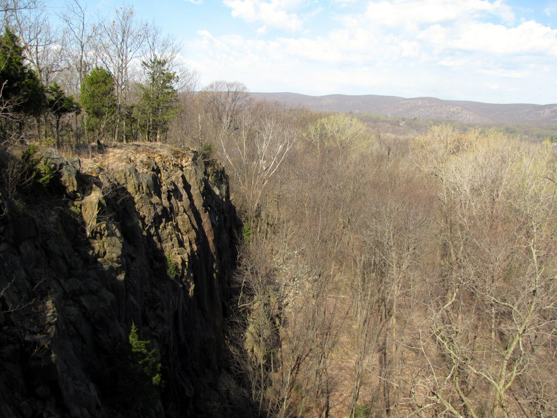
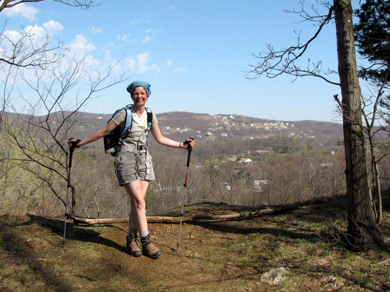
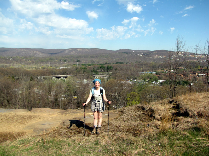
 First view north |
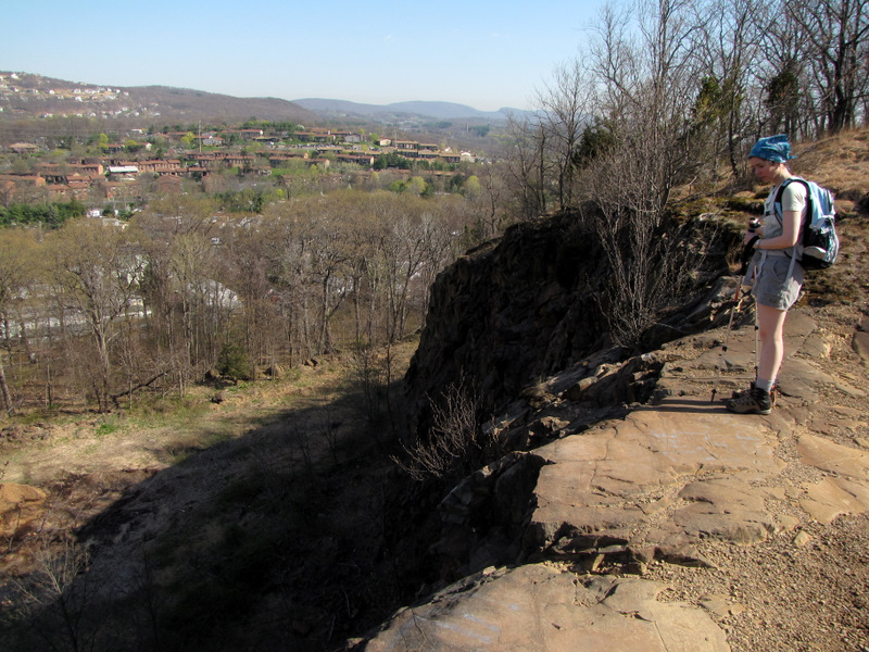
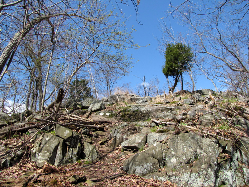
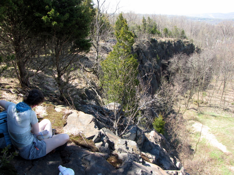
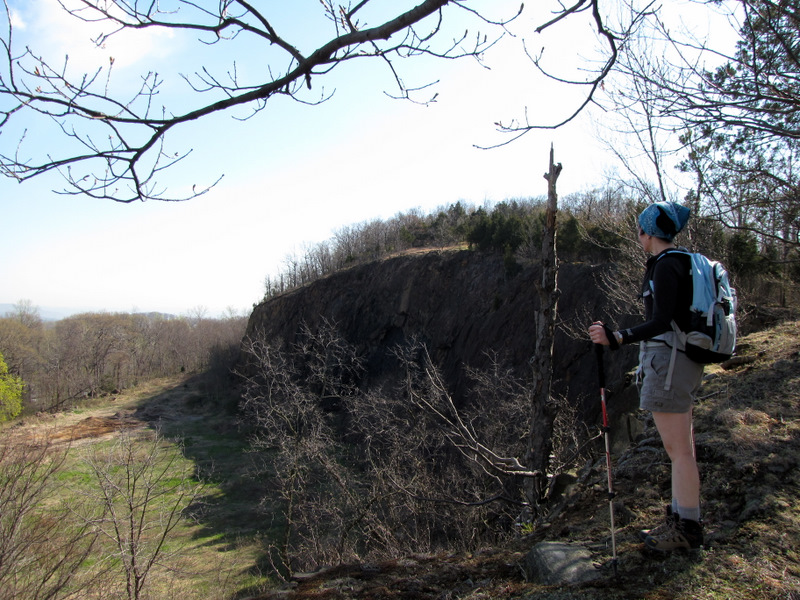 Cliffs form a natural ampitheater |
 |
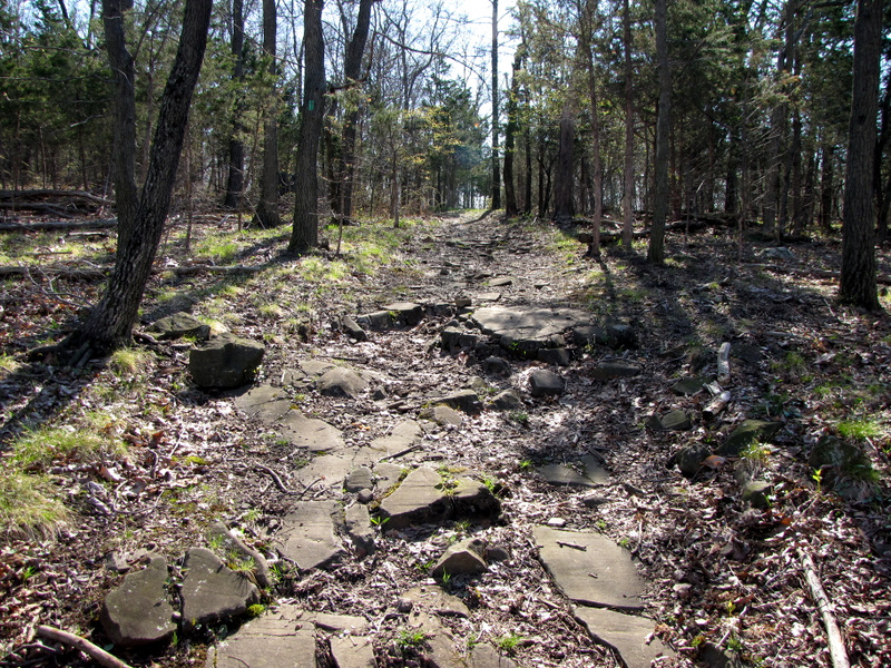 Rocky path |
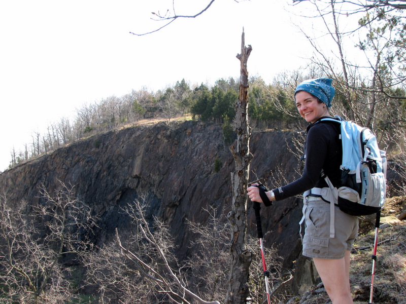
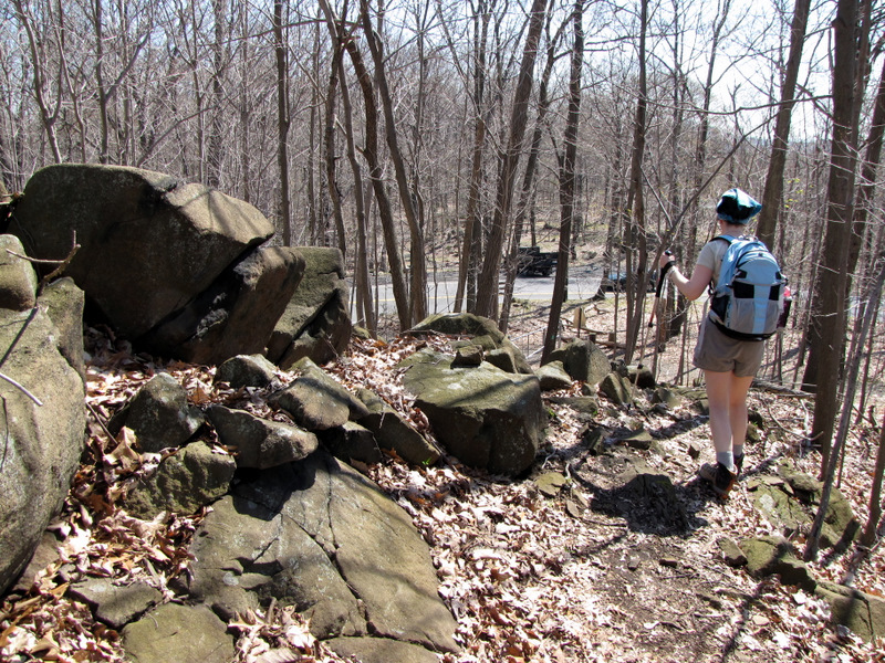
 Steep drop [photo by Laura] |
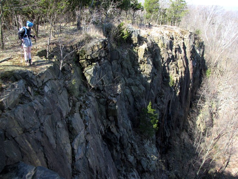 Wow! That's steep! |
 |
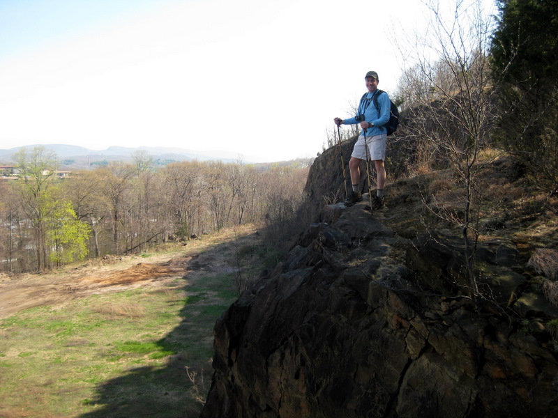
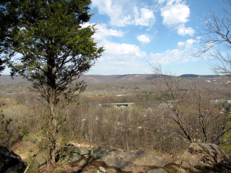
 View west |
 View north |
 |
 |
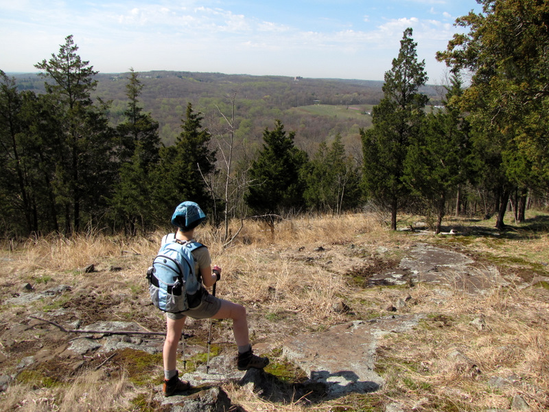
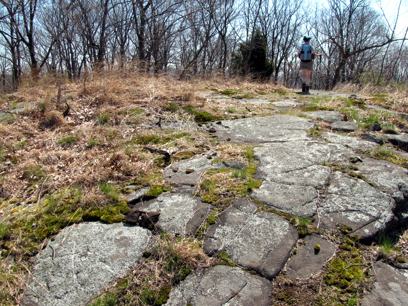
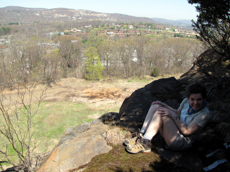
 Excellent lookout |
 |
 |
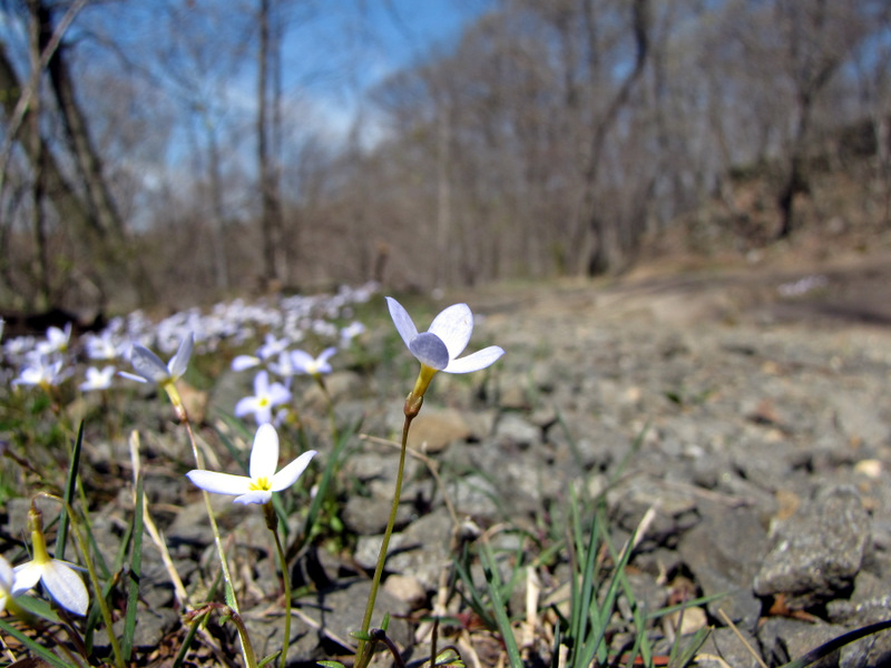
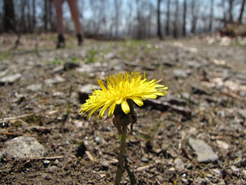
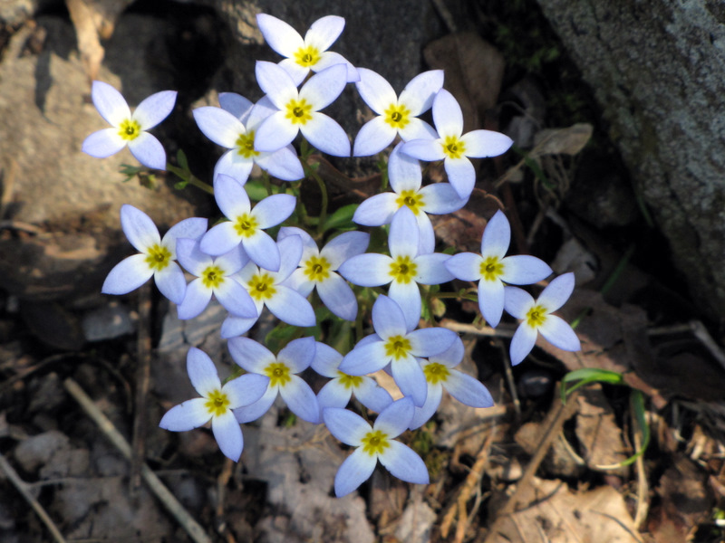
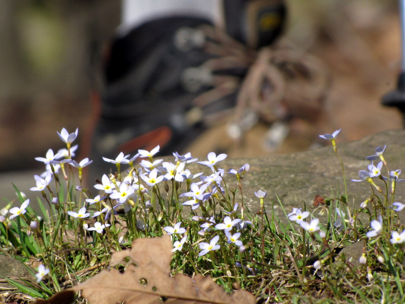 Wildflowers ... which Laura did not trample |
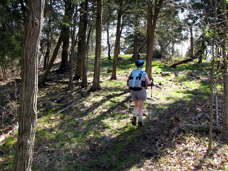
 Red cedars abound |
 |
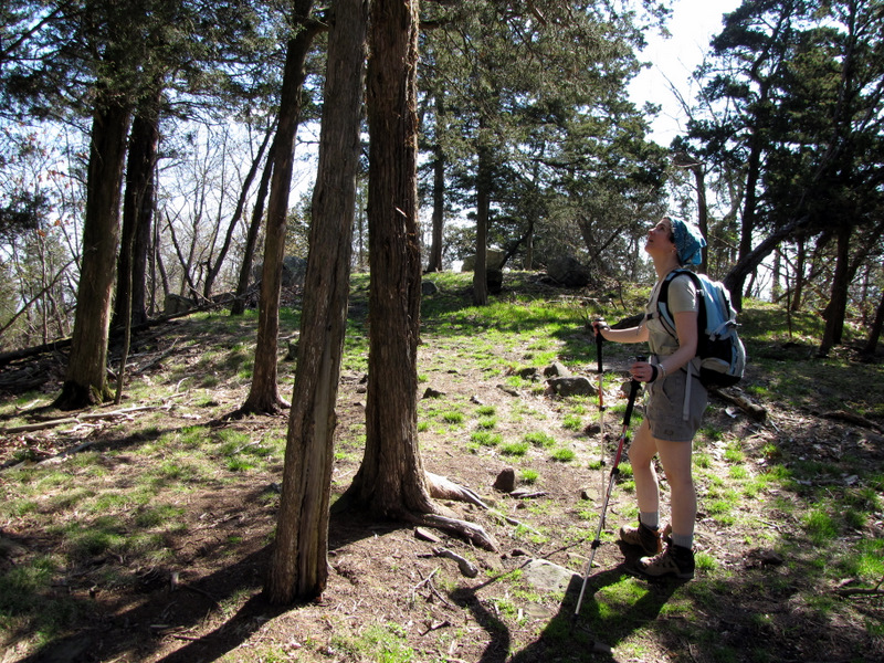 More red cedars |
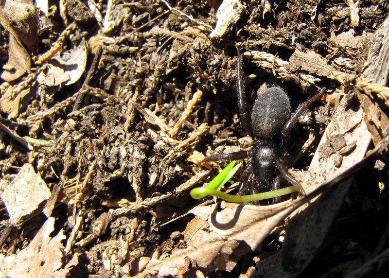 Interesting spider |
 |
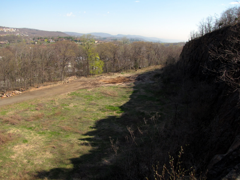
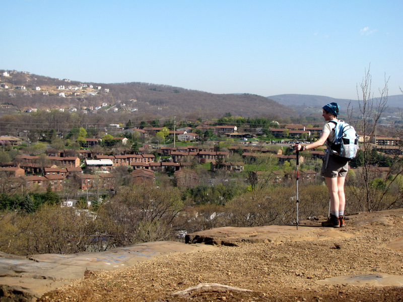
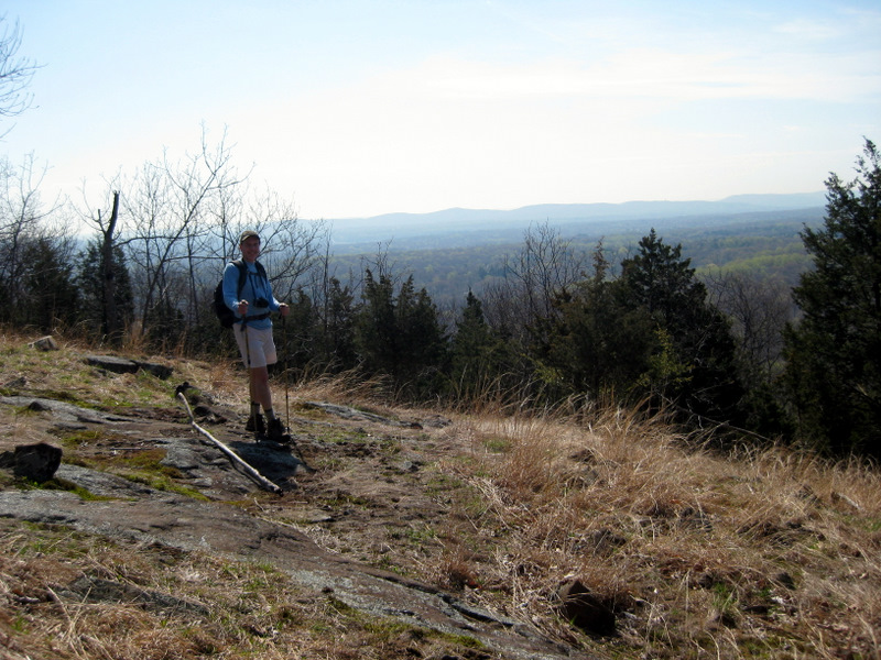
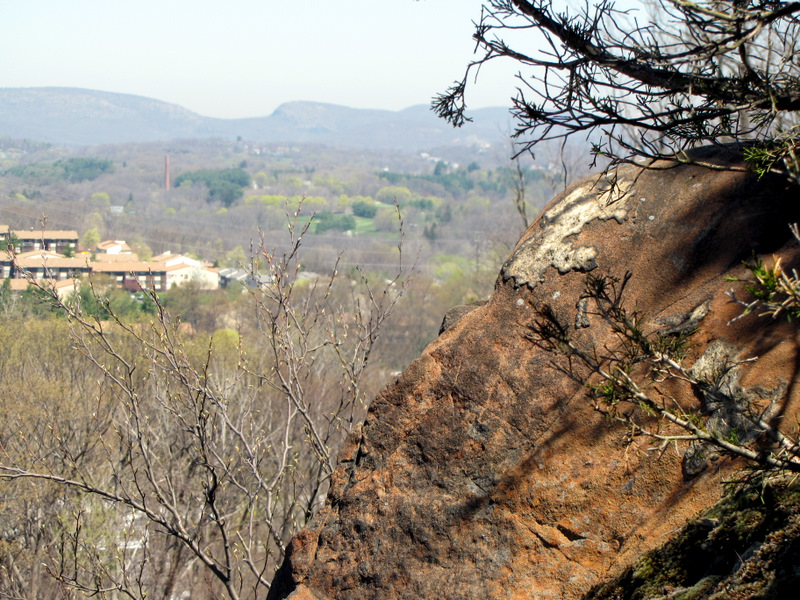
 Southern view |
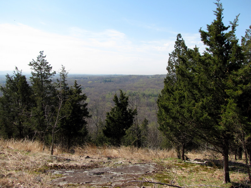 View south |
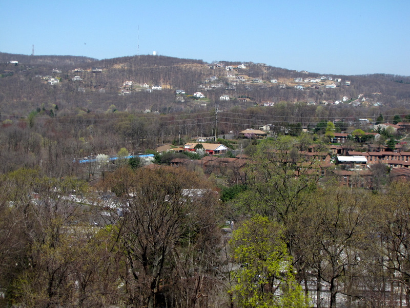
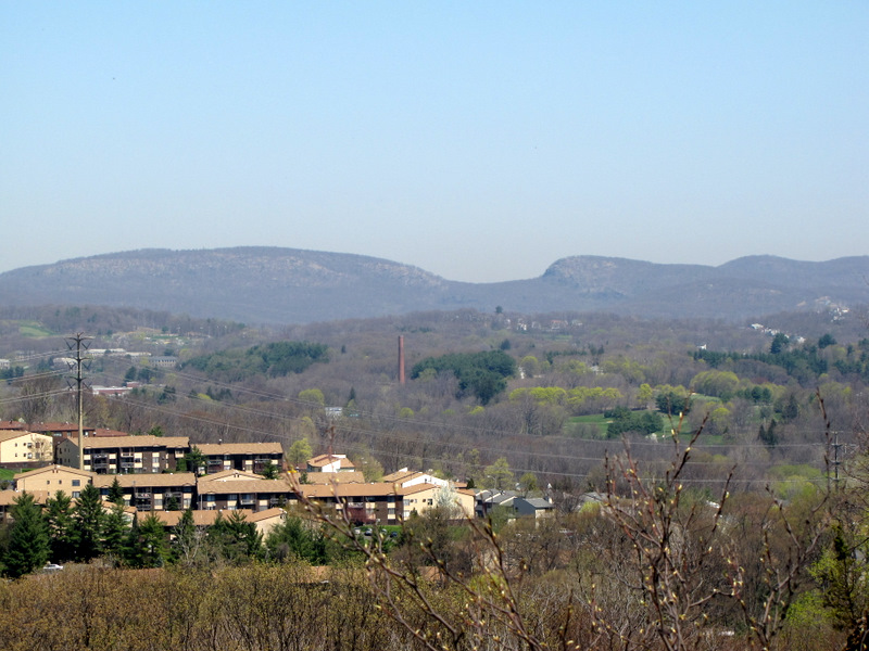
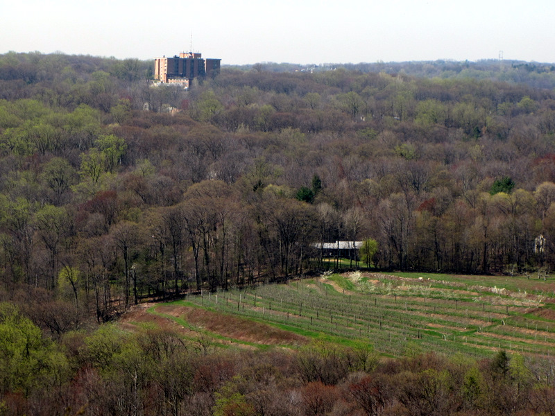 Field in distance |
 |
 [Photo by Laura] |
 |
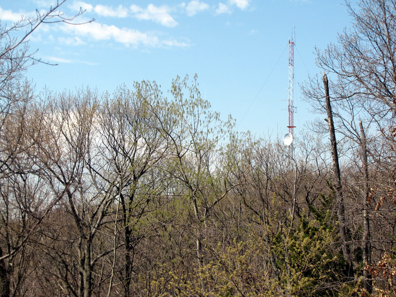
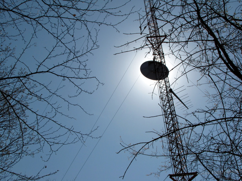 Antenna with sun blocked |
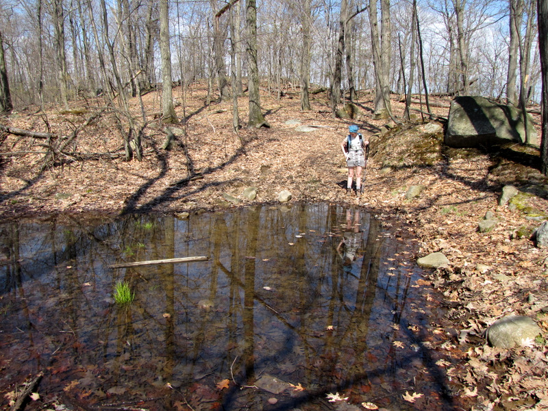 Small pond near antenna |
 |
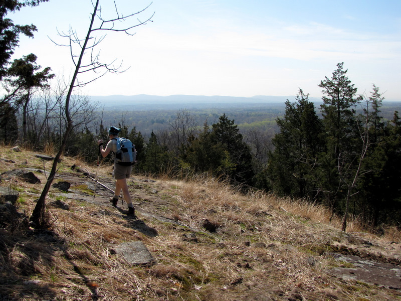
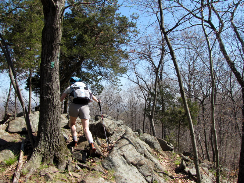 Rocky LP ascent |
 Rocky LP descent |
 |
 |
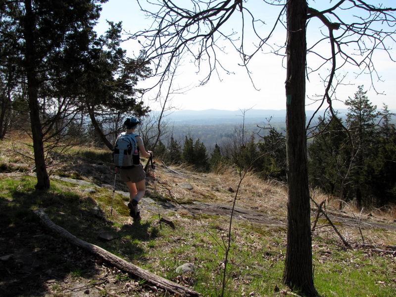
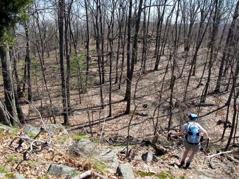 Descending to Route 33 |
 Lone red cedar |
 |
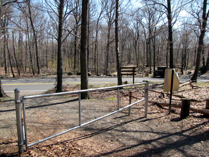 Barrier at Route 33 |
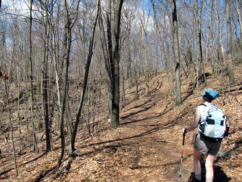 Heading west on woods road |
 |
 More wildflowers |
 |
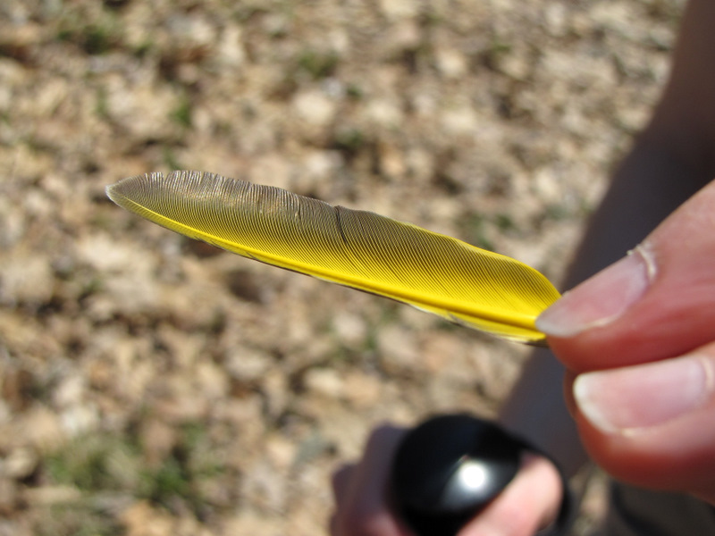 Bright yellow feather |
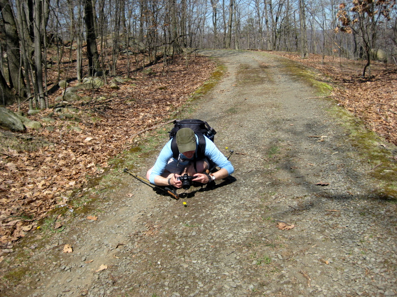 Dan taking ... [photo by Laura] |
 ... this photo |
 Heading back to antenna |
 |
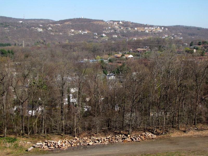
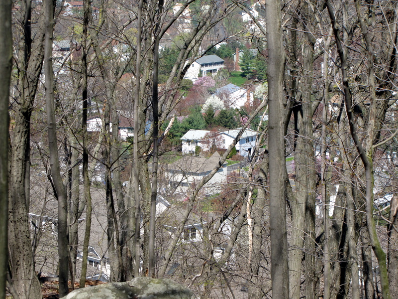 Houses to the north |
 View south |
 |
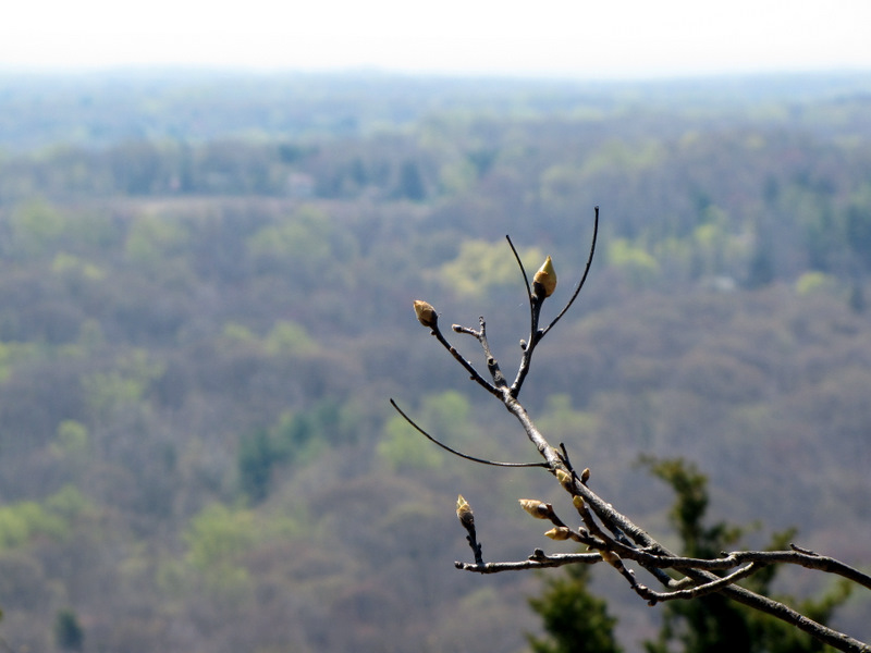 Spring buds |
 |
 Lunch spot looking east |
 Lunch spot looking west |
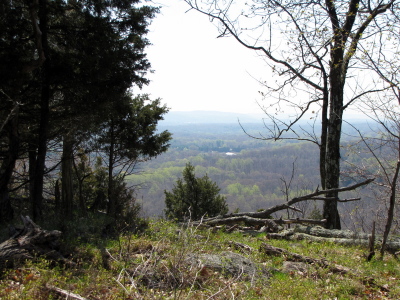
 View north |
 |
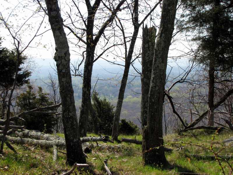
 Mountains east |

|
|
Photographs and content copyright © Dan Balogh Web design by Dan Balogh |