 |
|
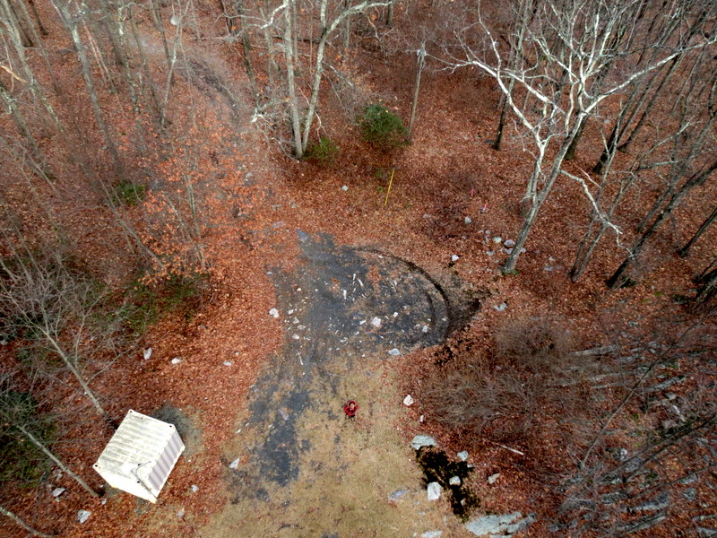
The first hike of 2023 was in Mahlon Dickerson, and while hiking there two weeks ago, I become curious about an area on the NYNJTC Morris County Highlands Map 126
marked "Snow Bowl", which included one blazed trail and several woods roads on the eastern side of Weldon Road.
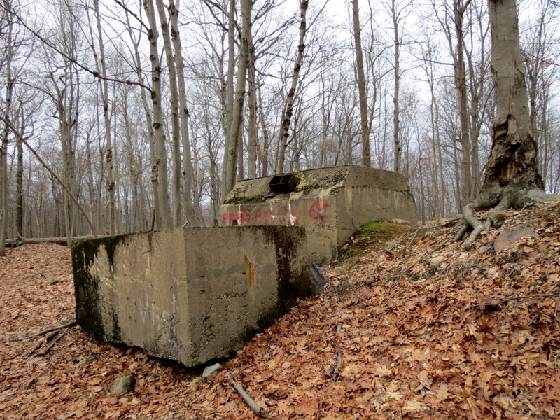
Apparently from the mid-1960s to mid-1970s there existed at this spot a skiing area which became quite popular, according to
this page at the Lake Hopatcong Historical Museum site. That was good enough for us,
so we headed back there for the second hike this year.
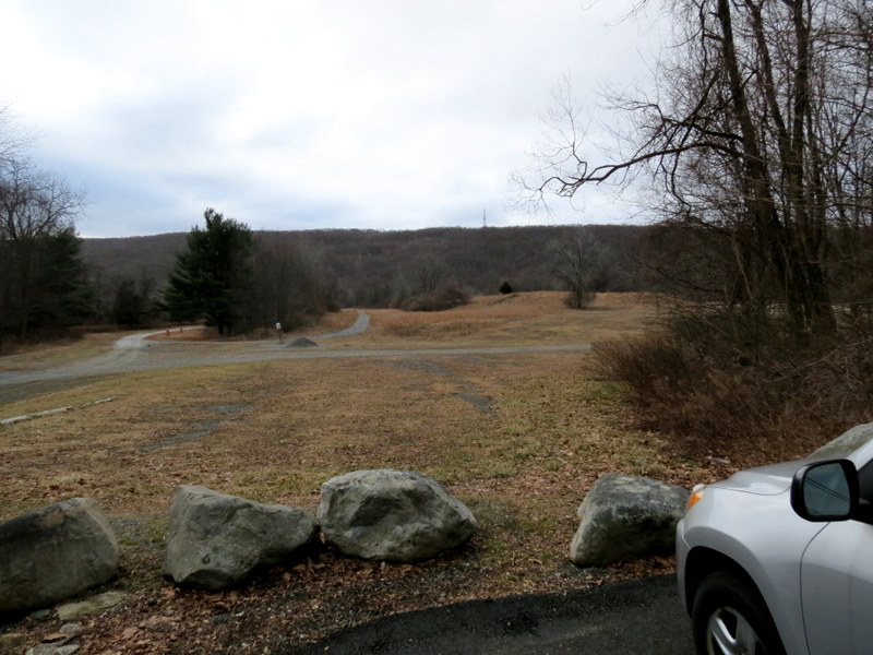
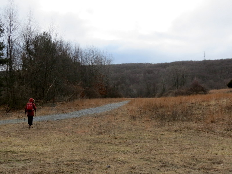
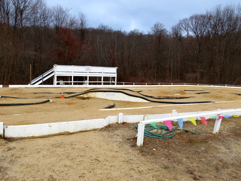
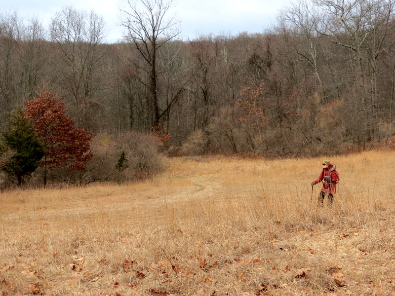
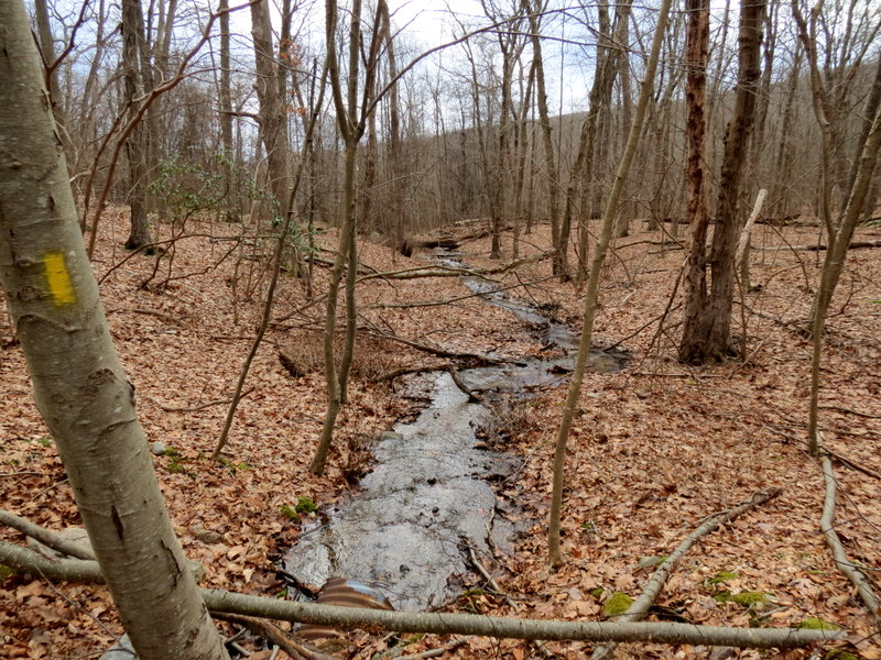
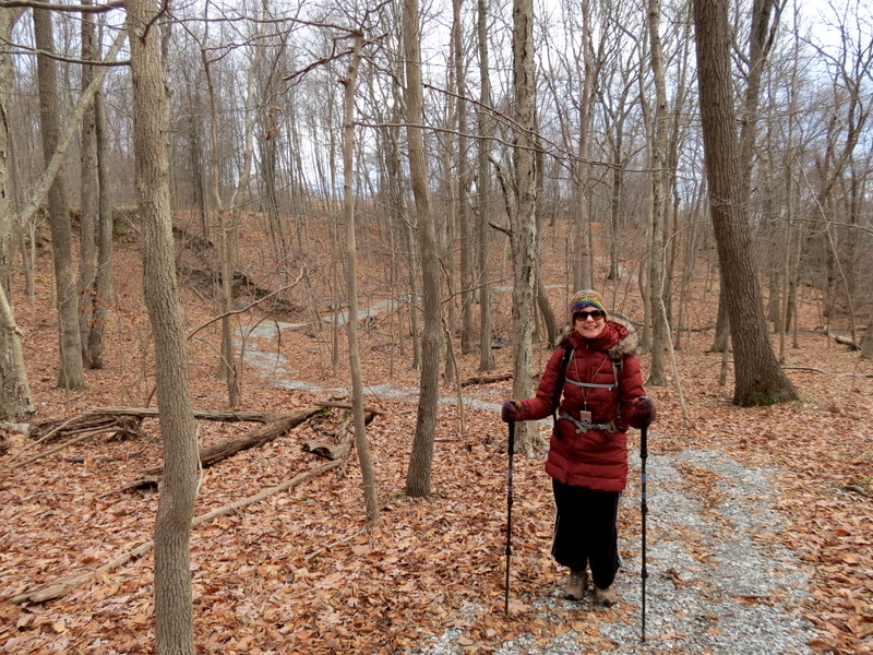
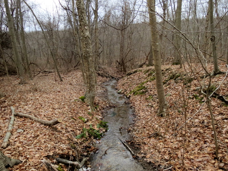
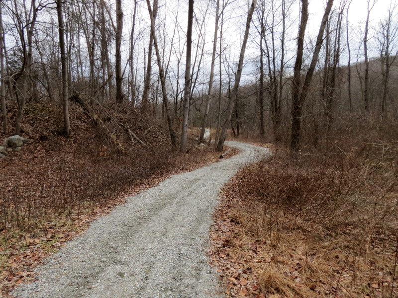
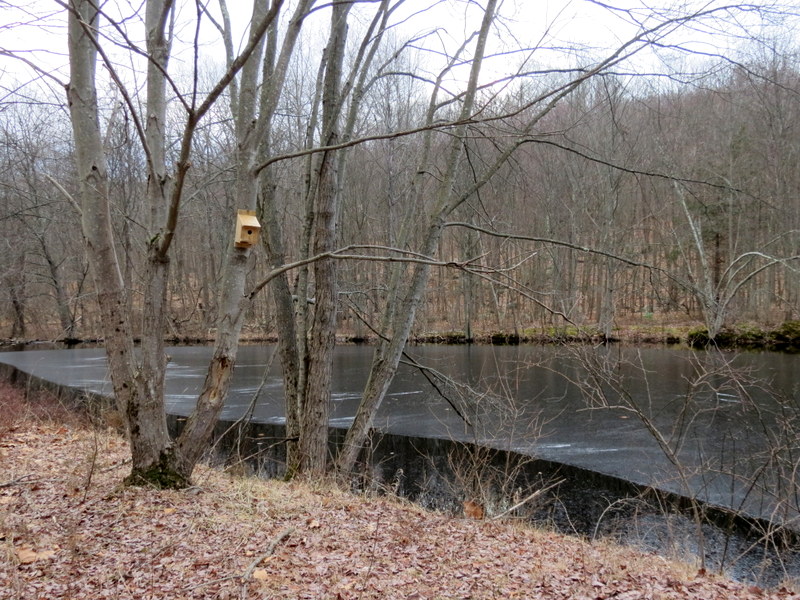
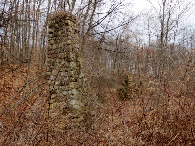
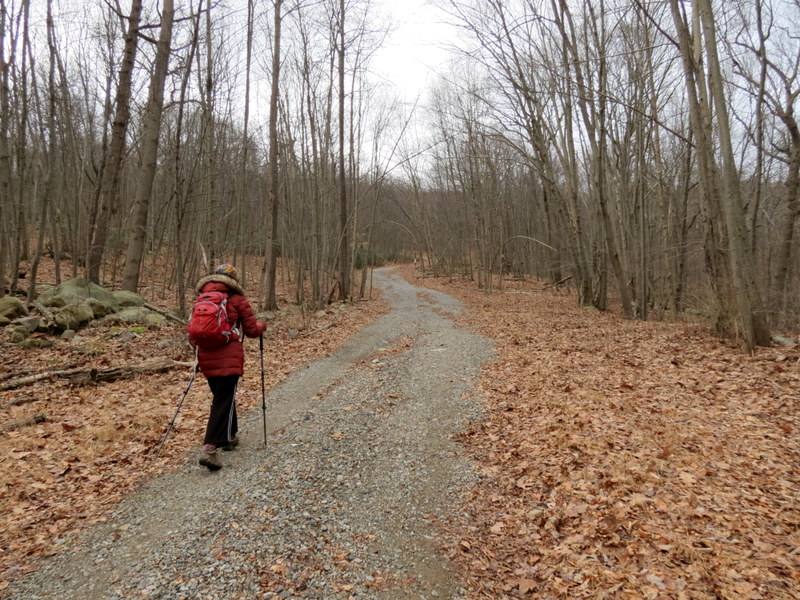
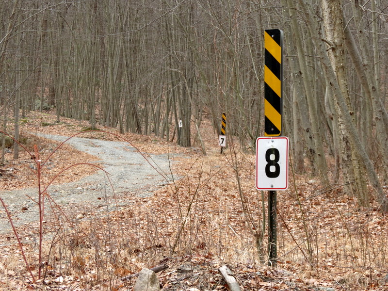
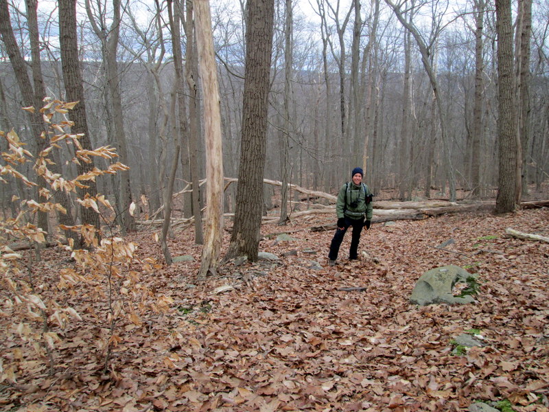
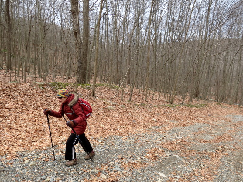
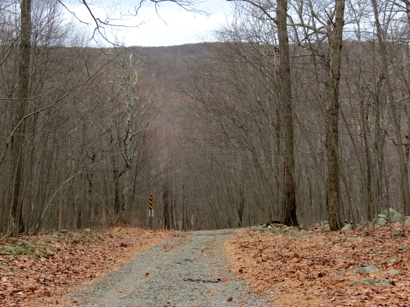
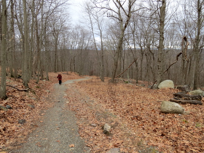
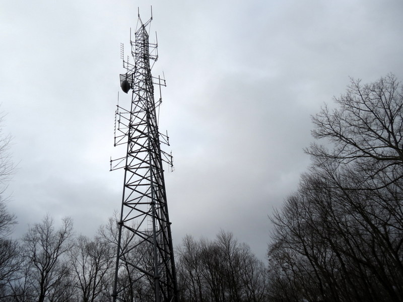
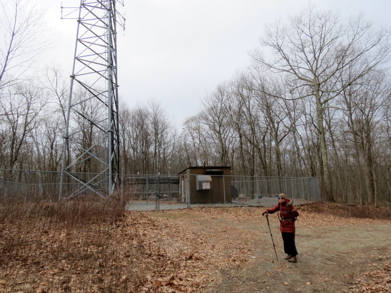
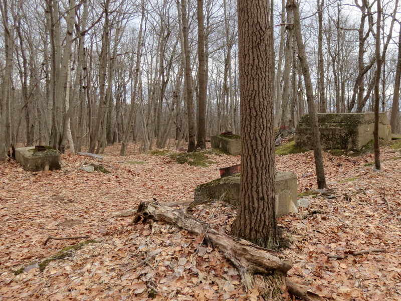
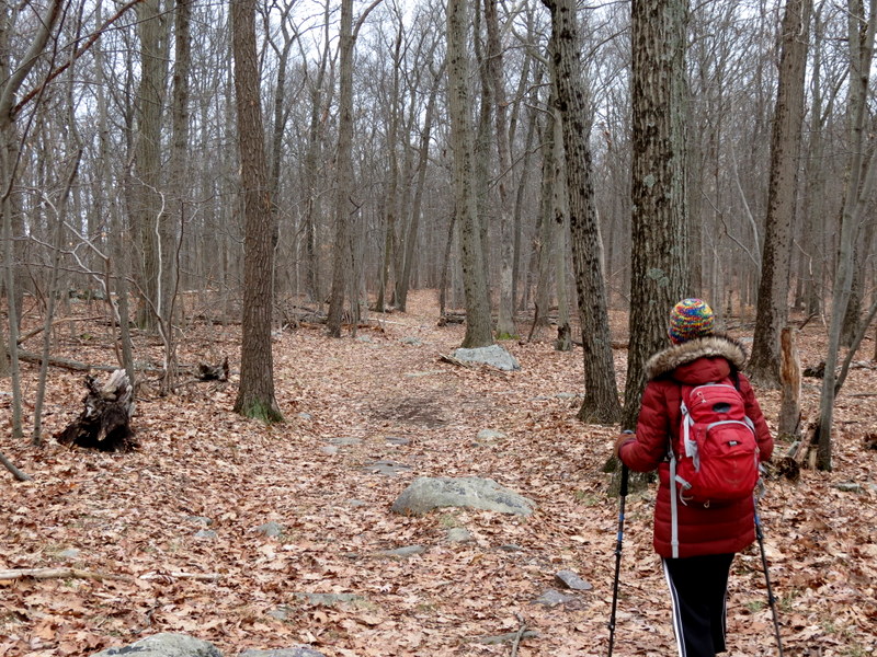
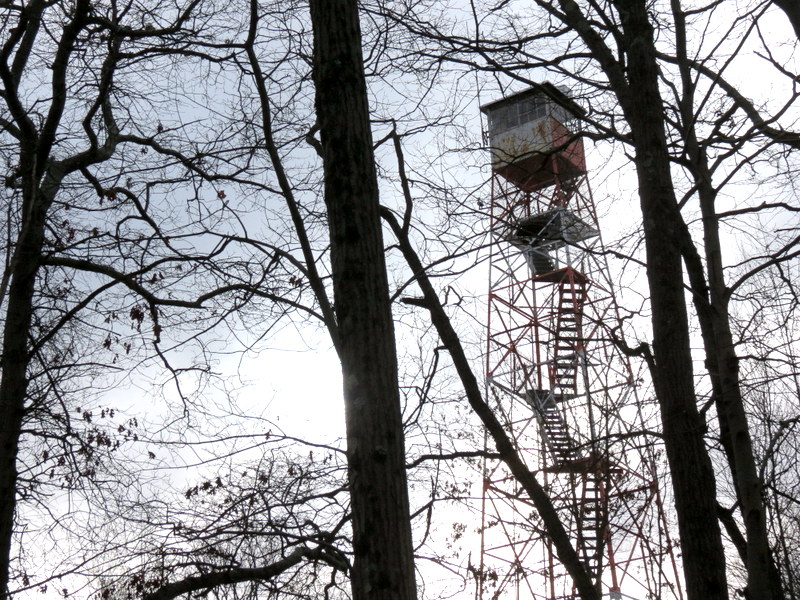
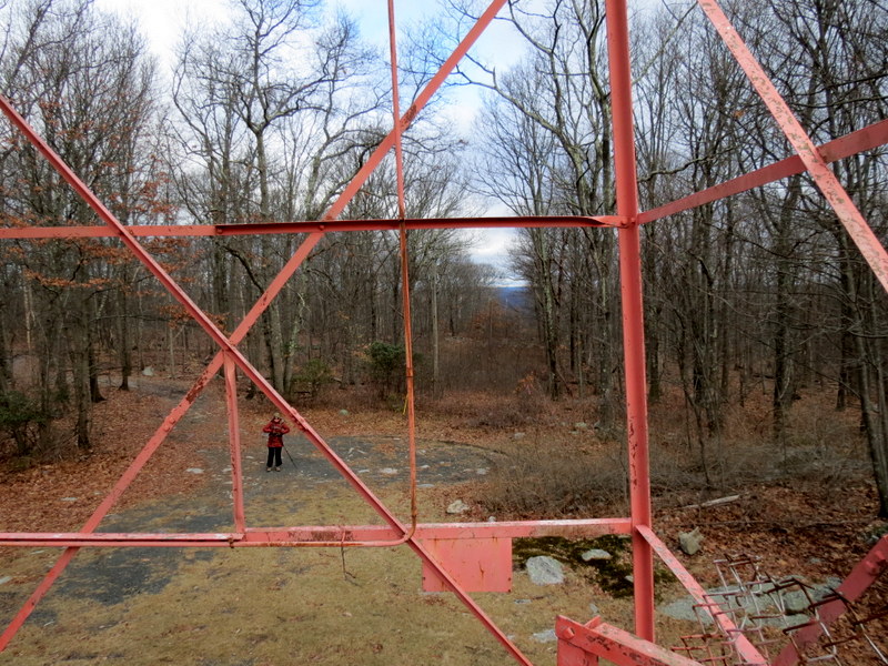
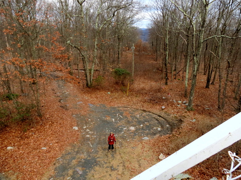
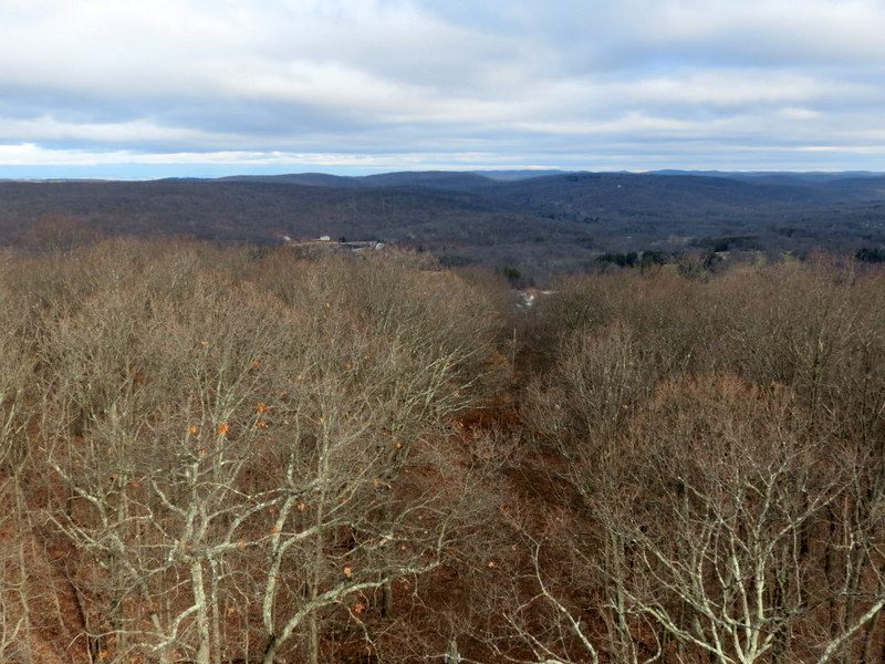
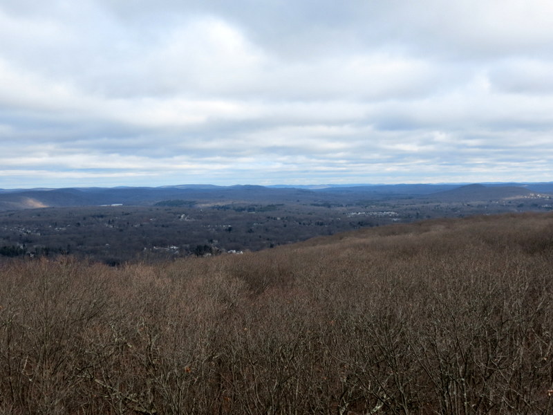
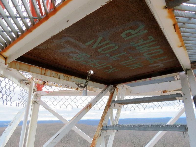
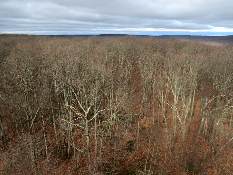
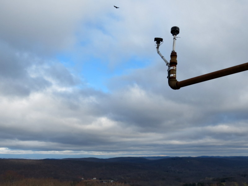
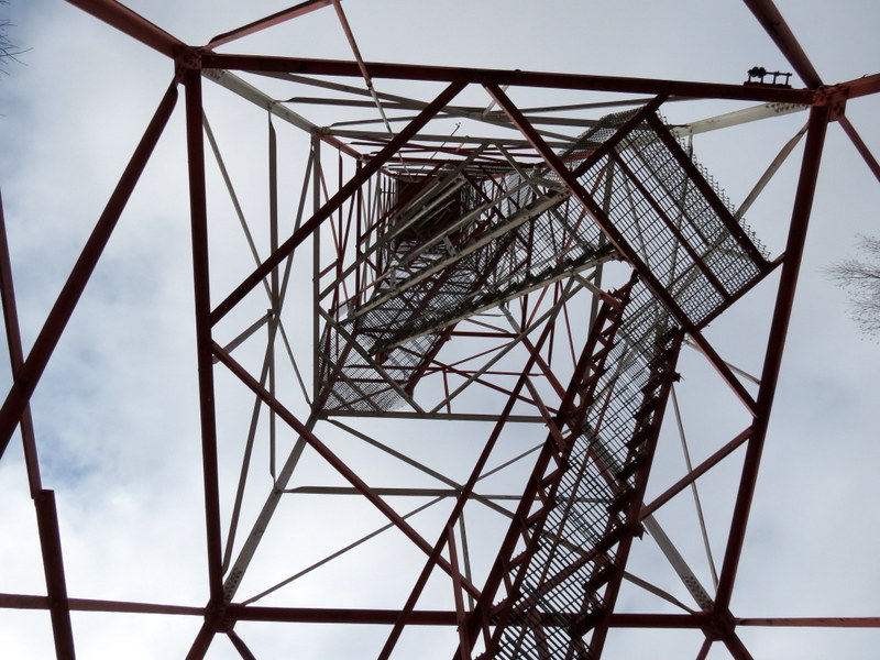
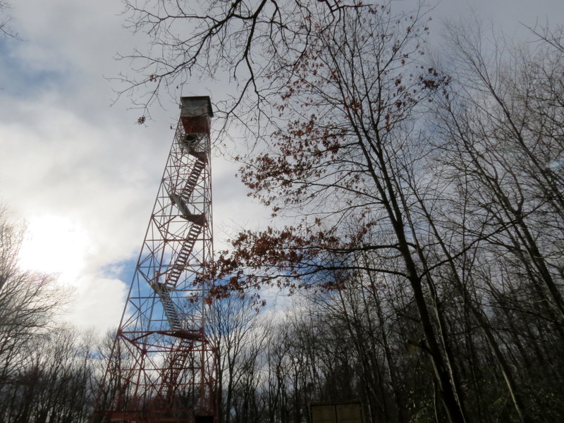
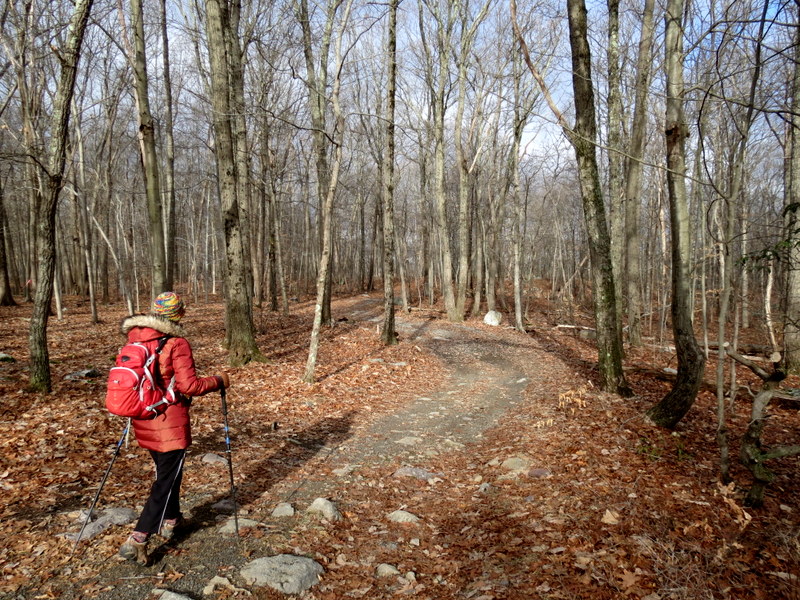
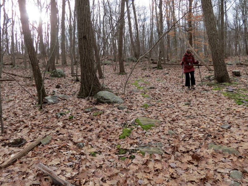
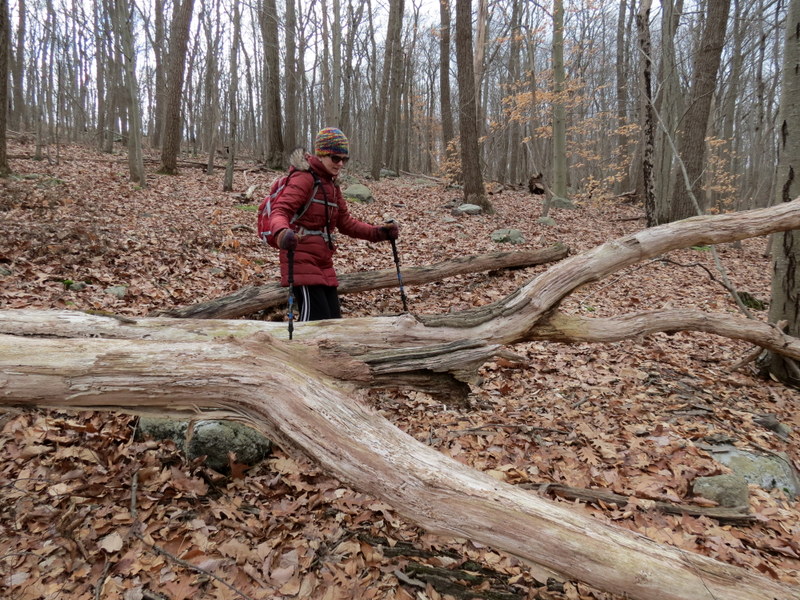
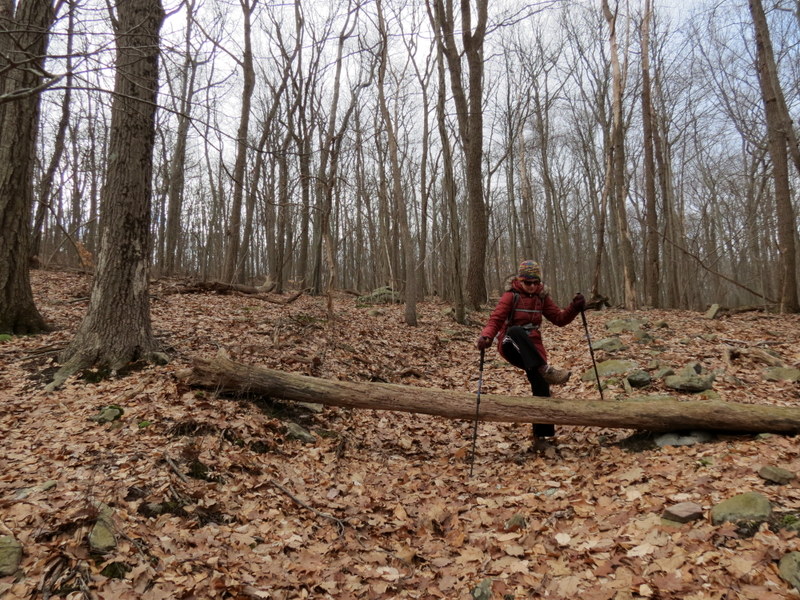
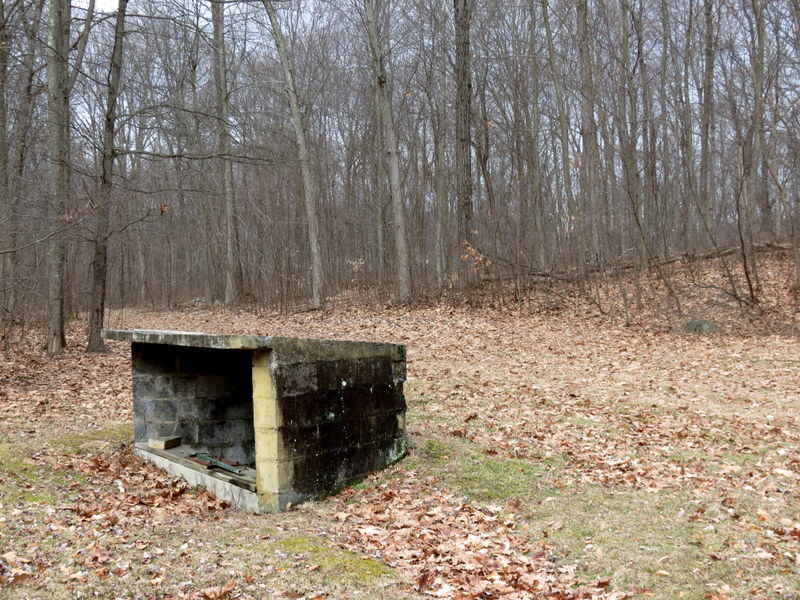
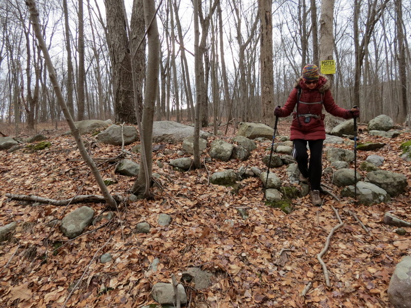
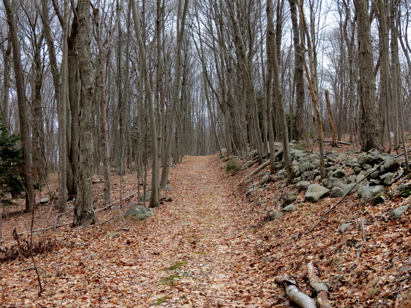
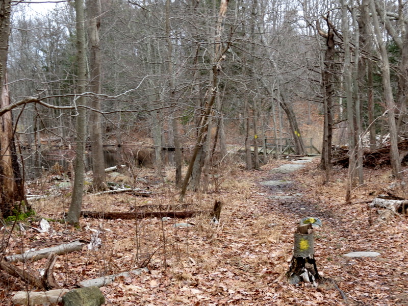
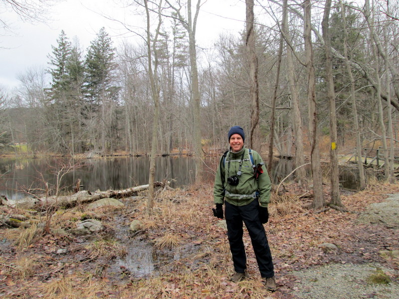
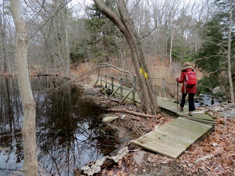
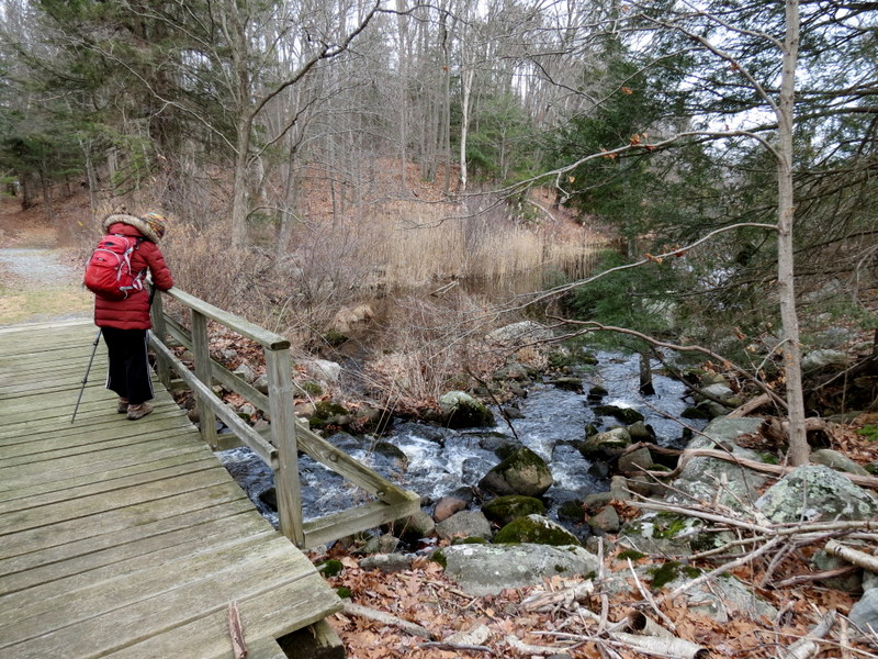
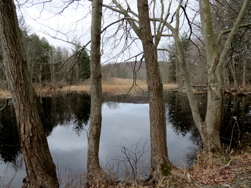
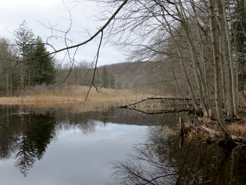
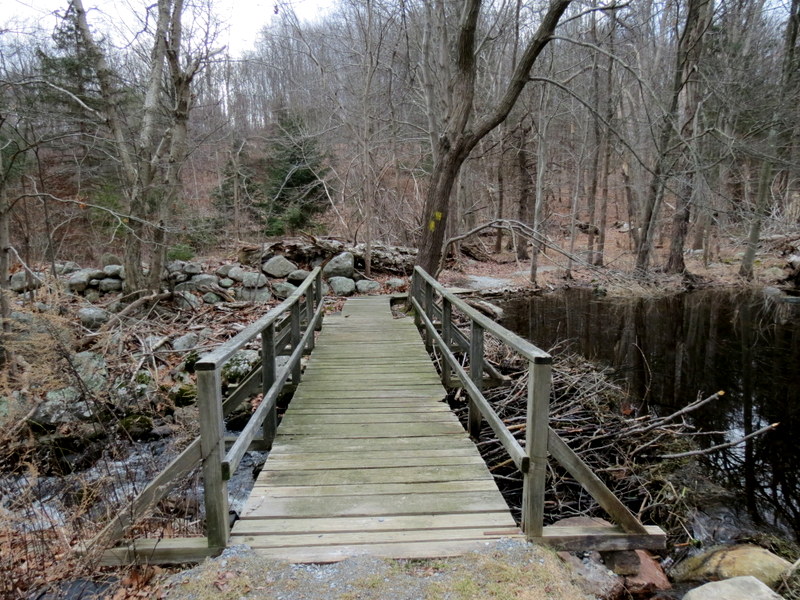
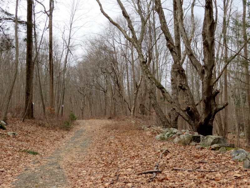
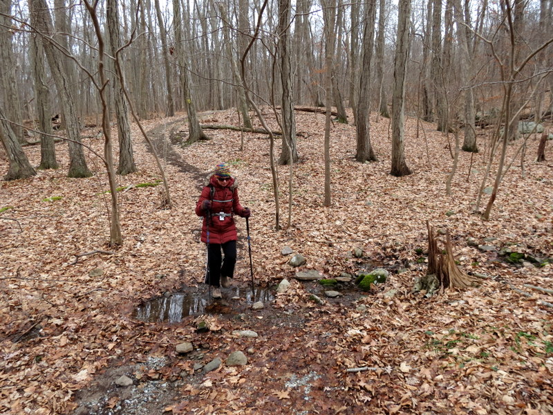
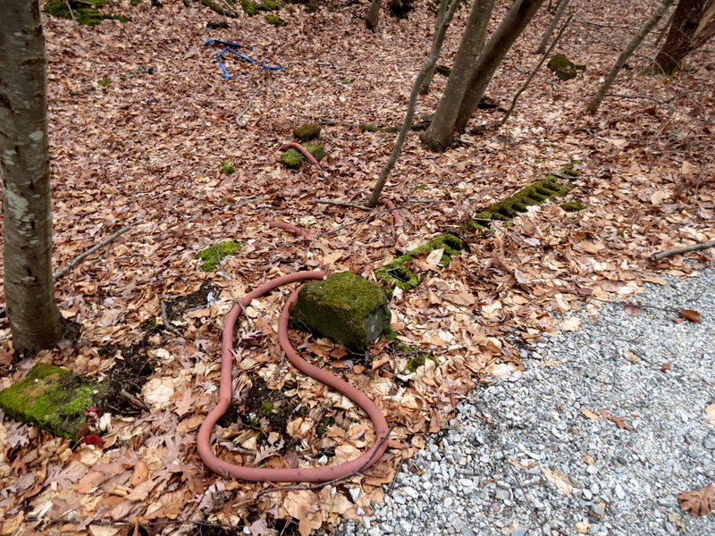
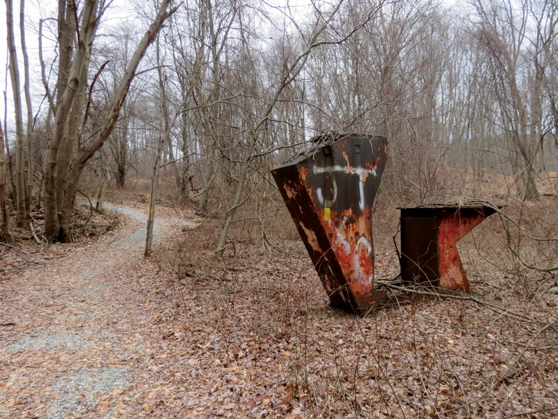
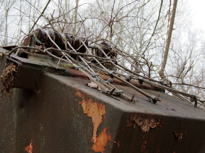
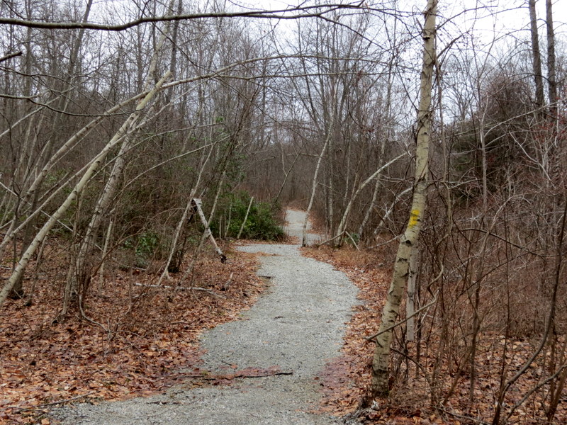
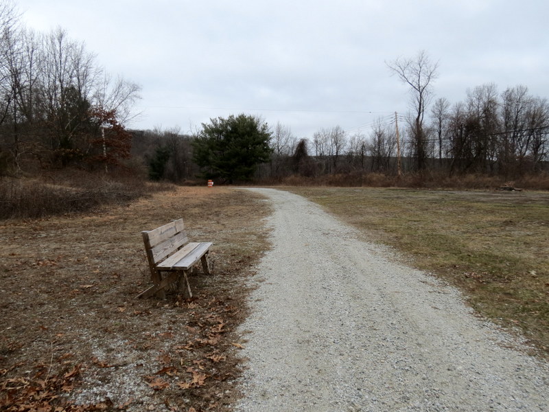
Using this map, as well as the aforementioned NYNJTC map, we parked in the pull-off on Weldon Road (enough room here for at least eight cars), and headed to the slopes. We hiked most of the yellow-blazed trail (at the start and at the end). The majority of the hike, though, were the unblazed woods roads, including a steep gravel road to the communications tower. The continuation west was much rougher and eventually led to the Milton Fire Tower. After visiting the tower, we retraced our steps to another woods road (barely detectable at a few points), which headed down the slope steeply in parts, before meeting back to the yellow trail to the west of the Jefferson Township High School. We took Yellow back to the car, passing some interesting remnants of Snow Bowl during our trek. You can see our track here Total distance hiked today was 4.3 miles, with plenty of climbing, in 2.5 hours.
(Click on the thumbnail to bring up a bigger image in a pop-up window)
|
 |
 |
 |
 |
 |
 |
 |
 |
 |
 |
 |
 |
 |
 |
 |
 |
 |
 |
 |
 |
 |
 |
 |
 |
 |
 |
 |
 |
 |
 |
 |
 |
 |
 |
 |
 |
 |
 |
 |
 |
 |
 |
 |
 |
 |
 |
 |
 |
 |
 |
 |
 |
 |
 |
 |
 |
 |
 |
 |
 |

|
|
Photographs and content copyright © Dan Balogh Web design by Dan Balogh |