 |
|
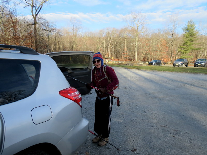
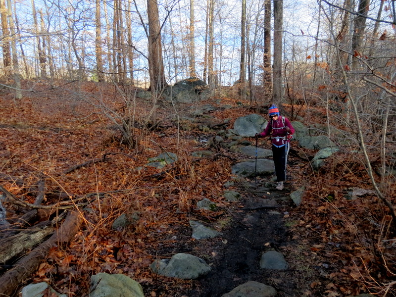
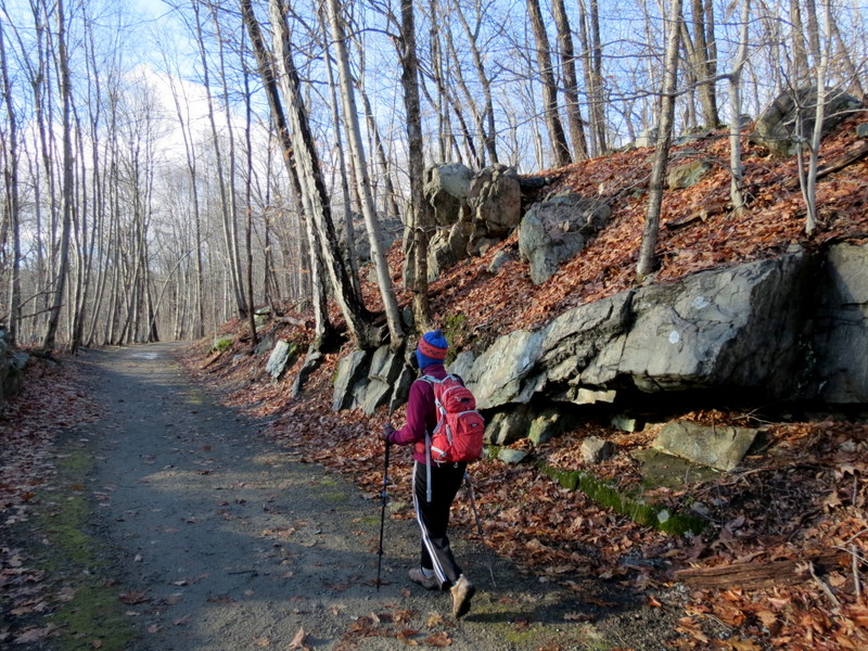
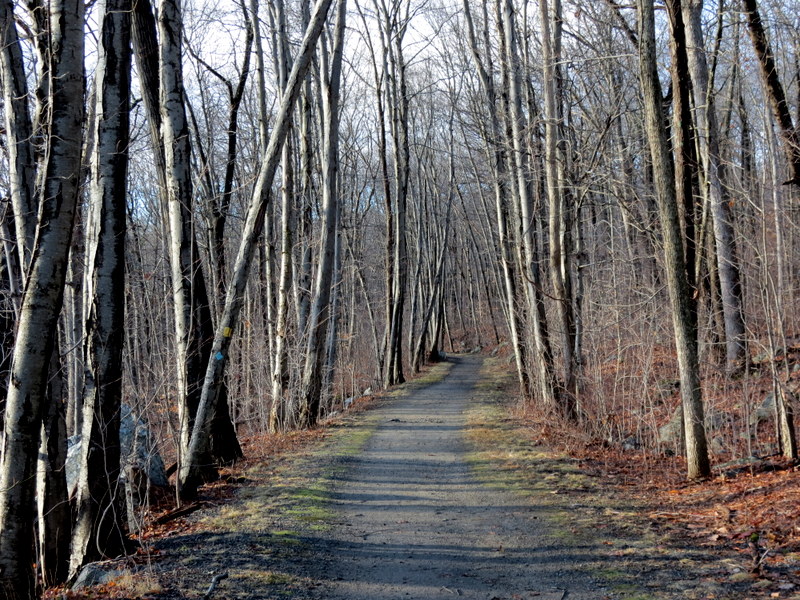
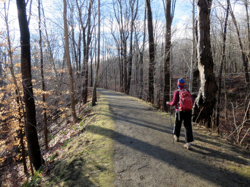
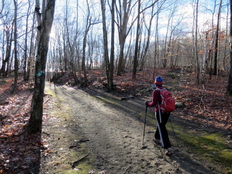
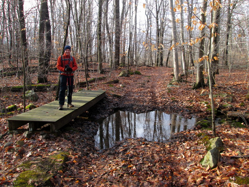
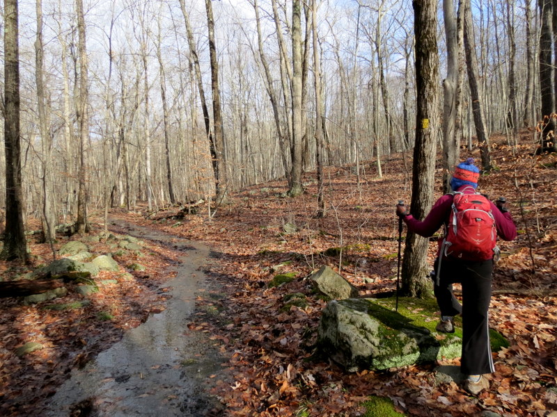
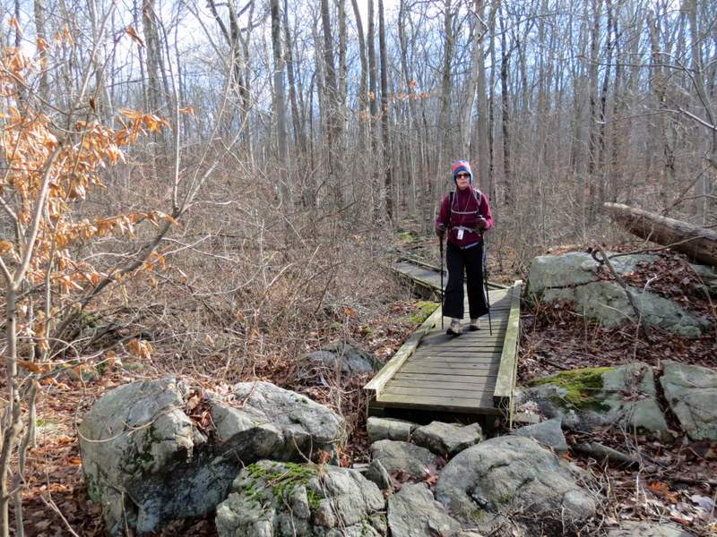
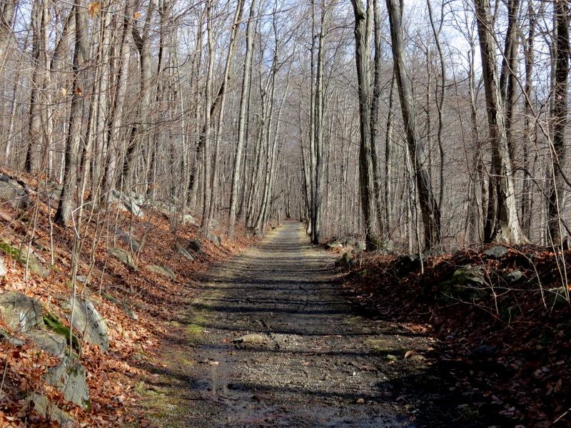
We hiked from this trailhead just over two years ago. It's a favorite spot, so we returned today to hike a couple of trails we hadn't hiked before, starting
a new year of hiking! It was initially cold, but beautiful out!
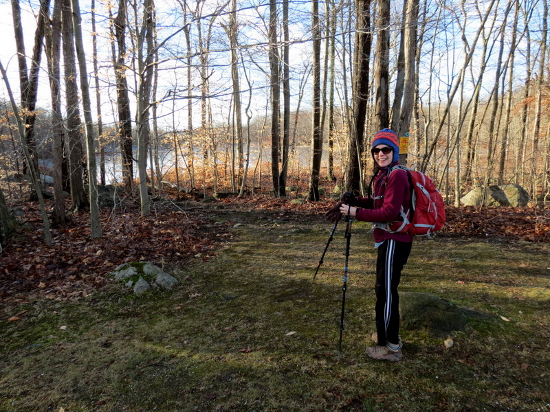
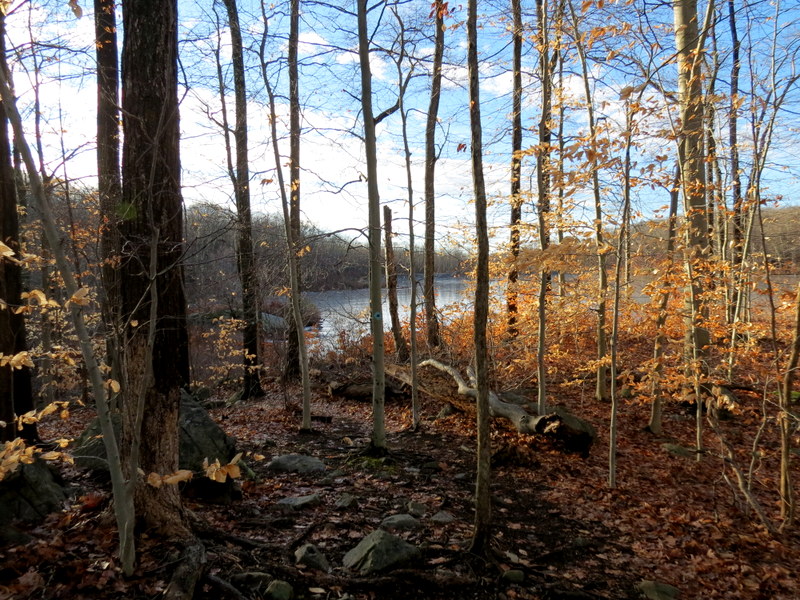
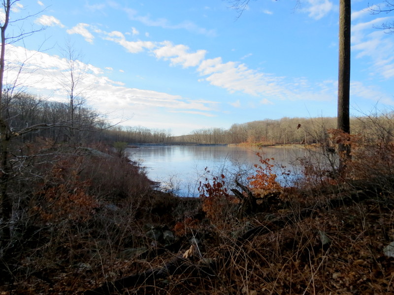
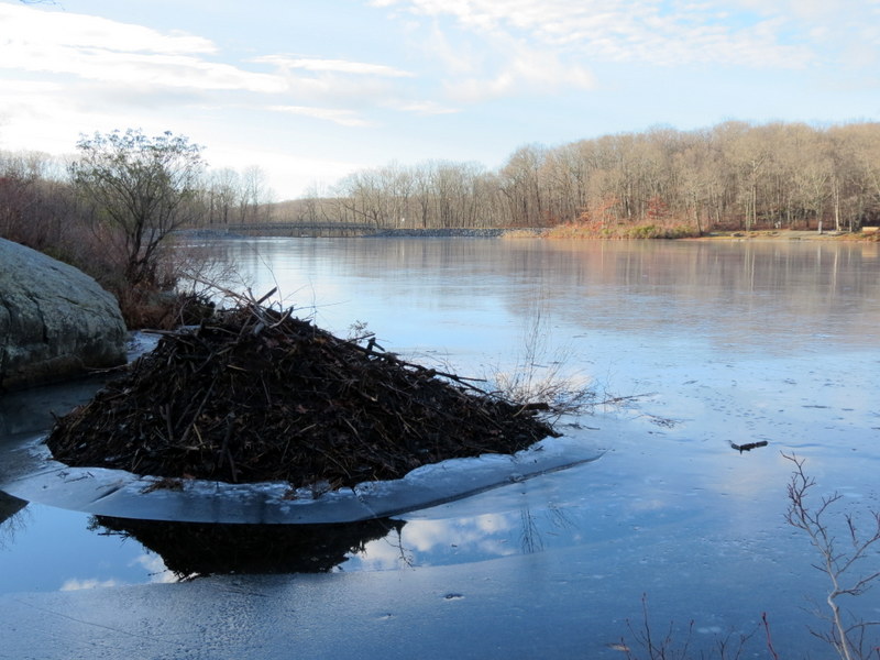
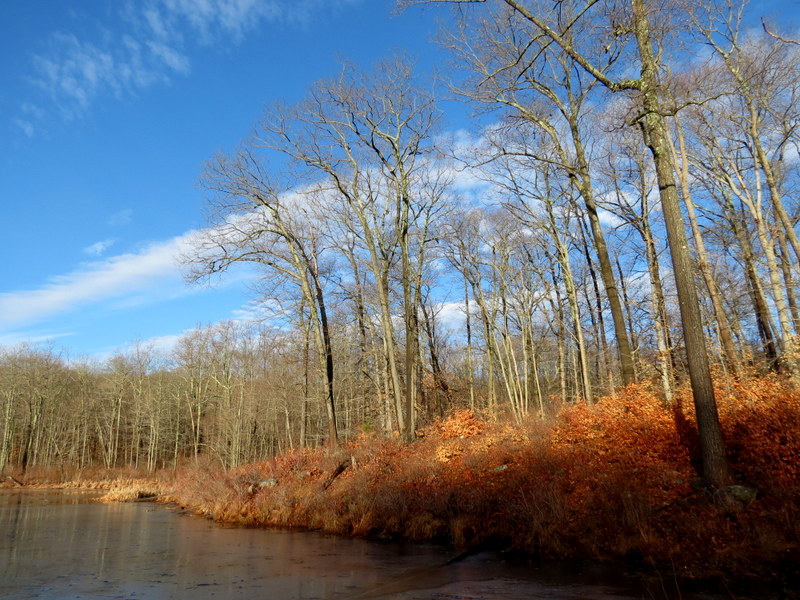
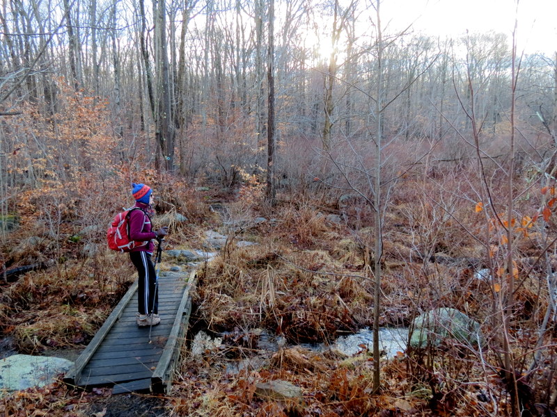
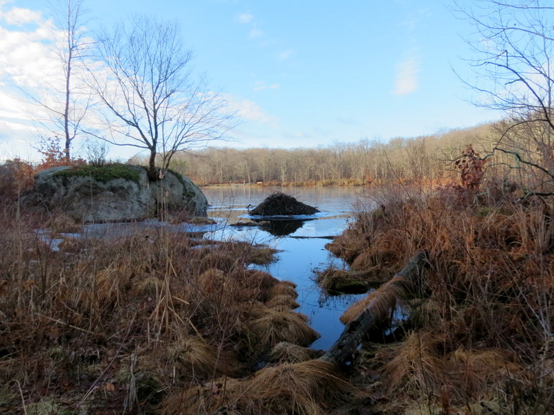
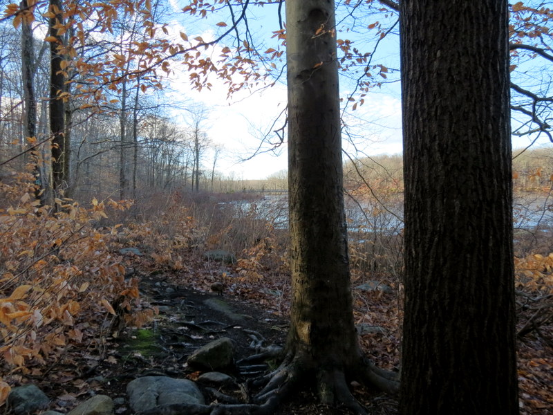
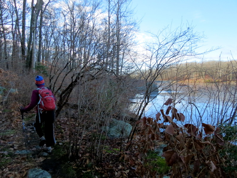
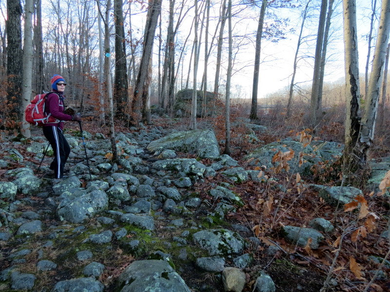
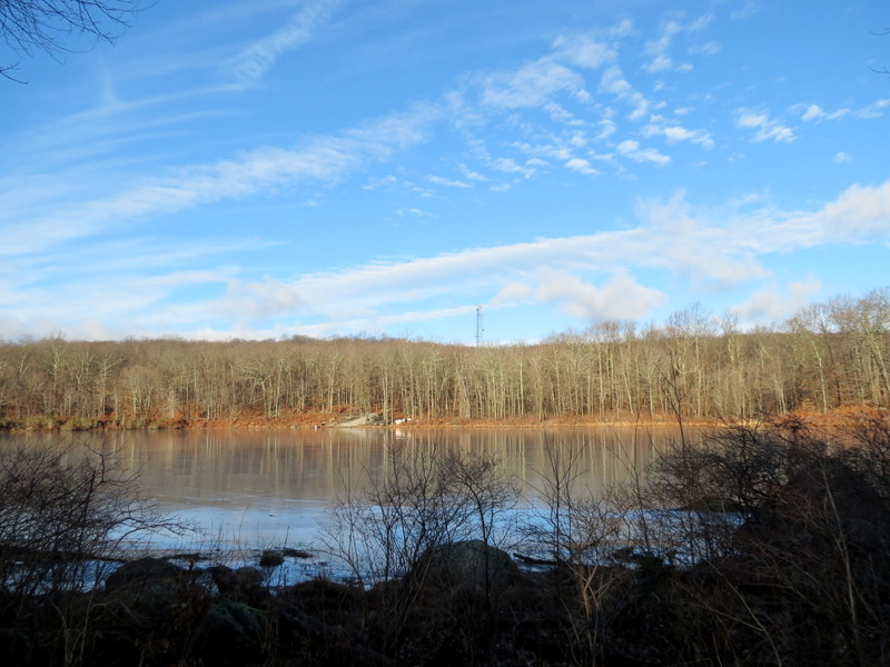
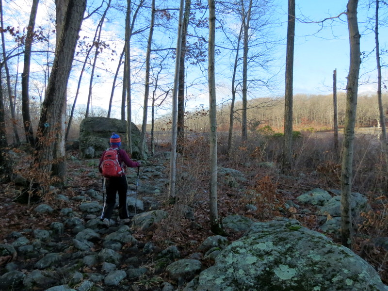
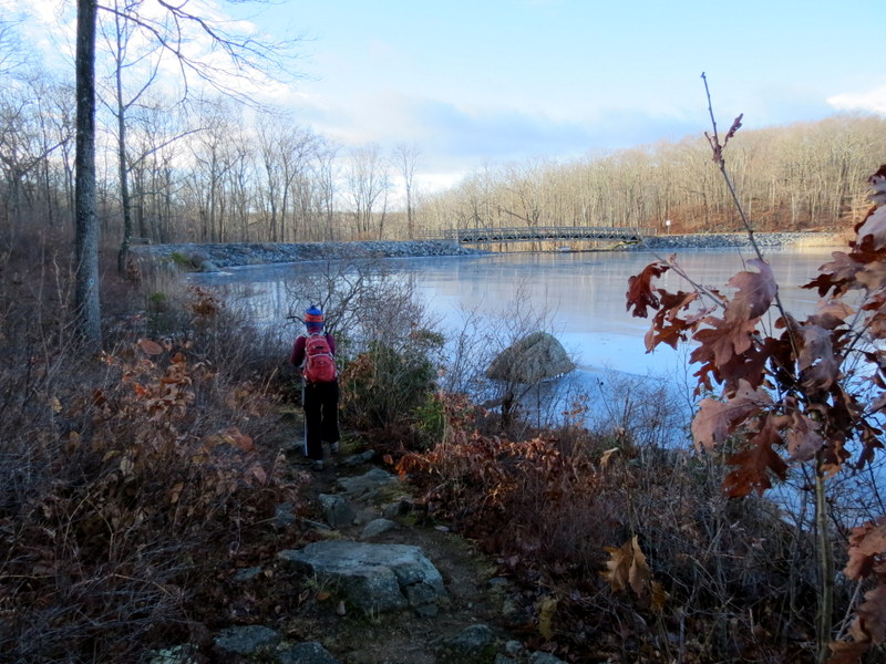
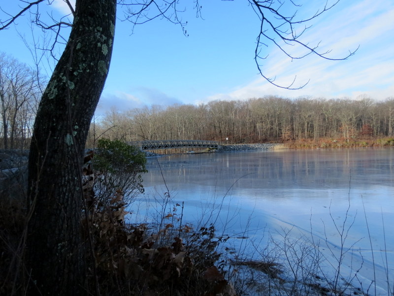
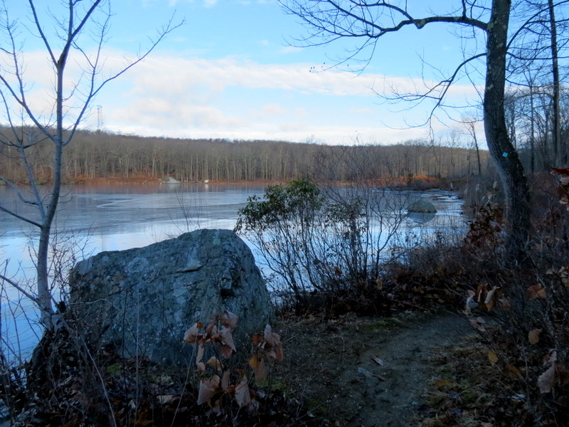
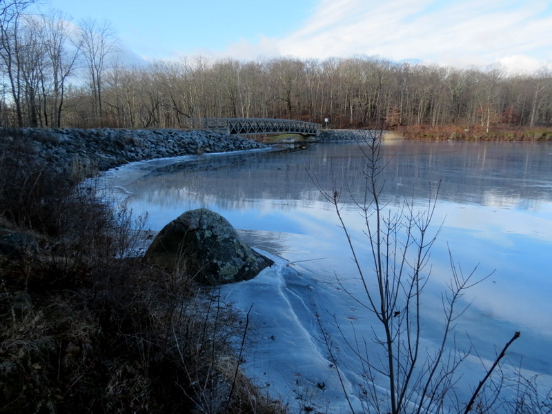
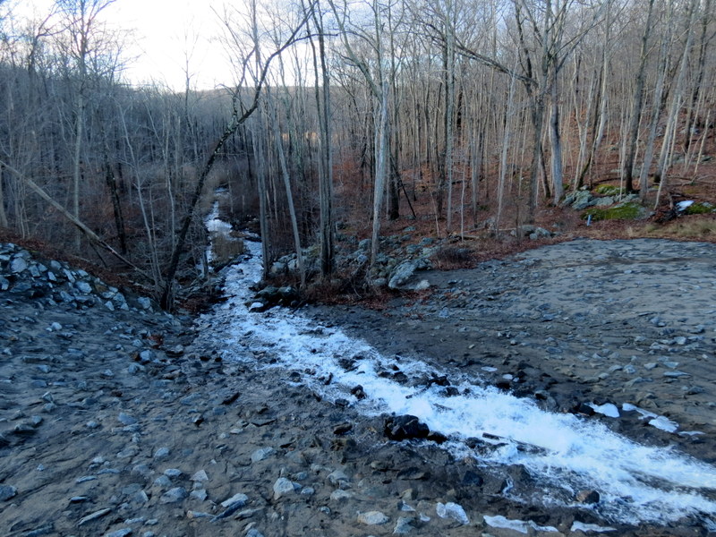
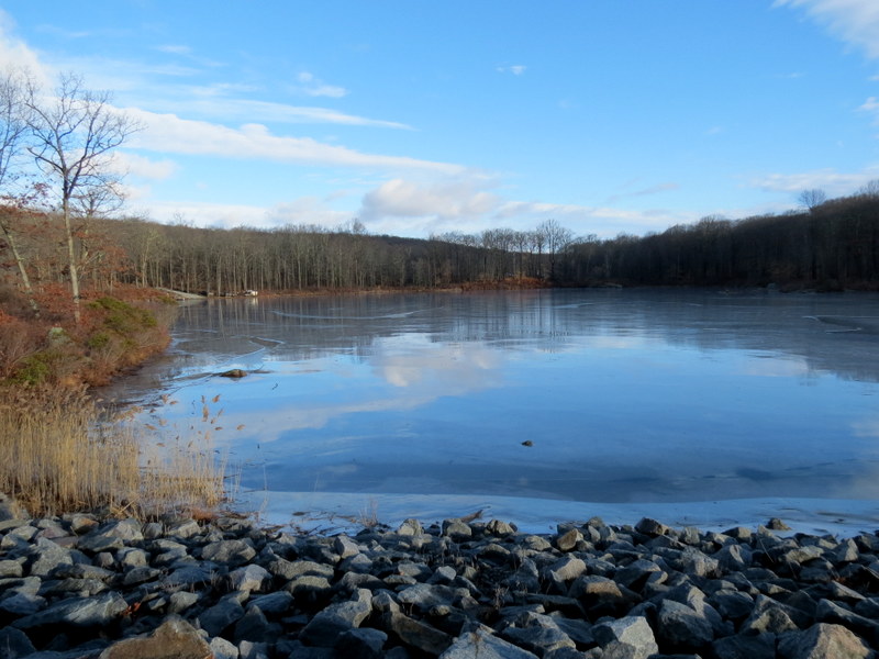
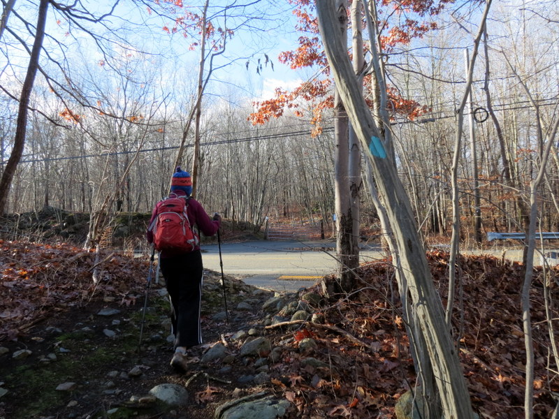
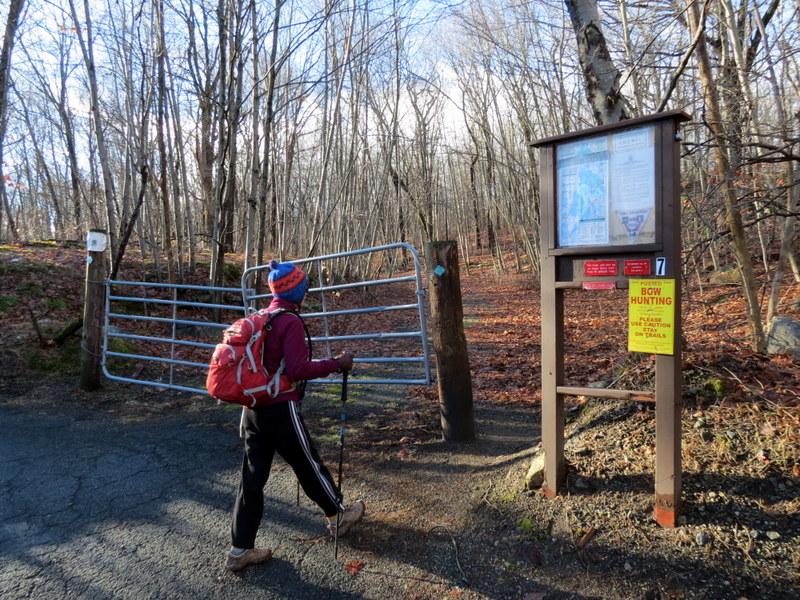
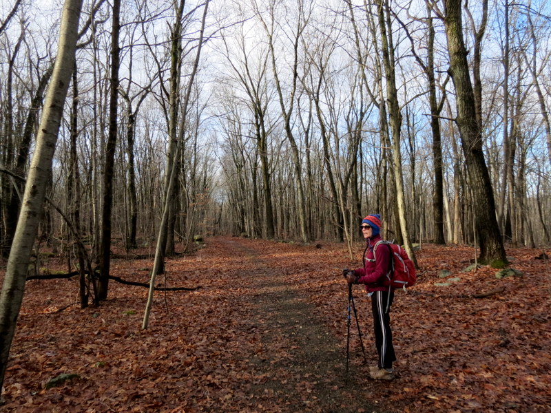
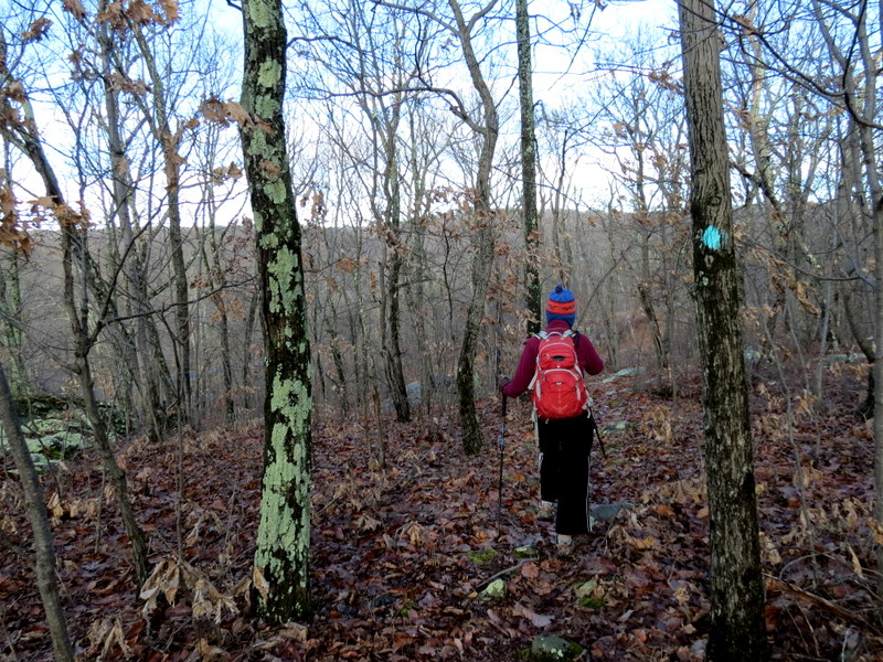
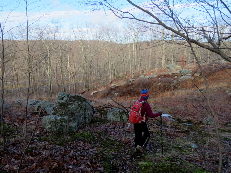
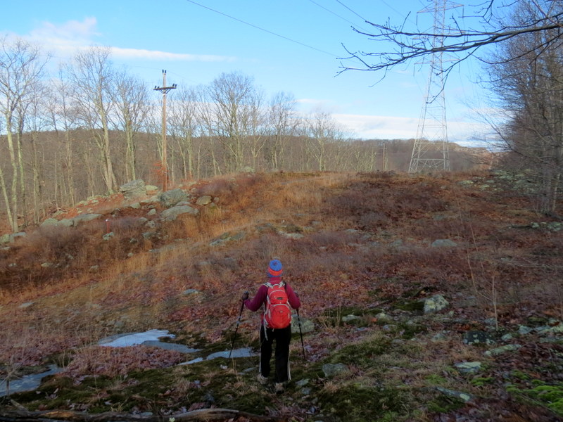
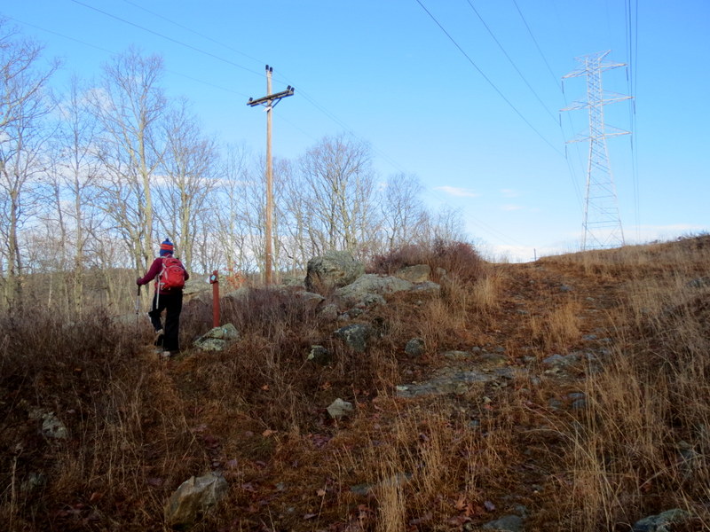
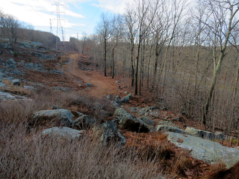
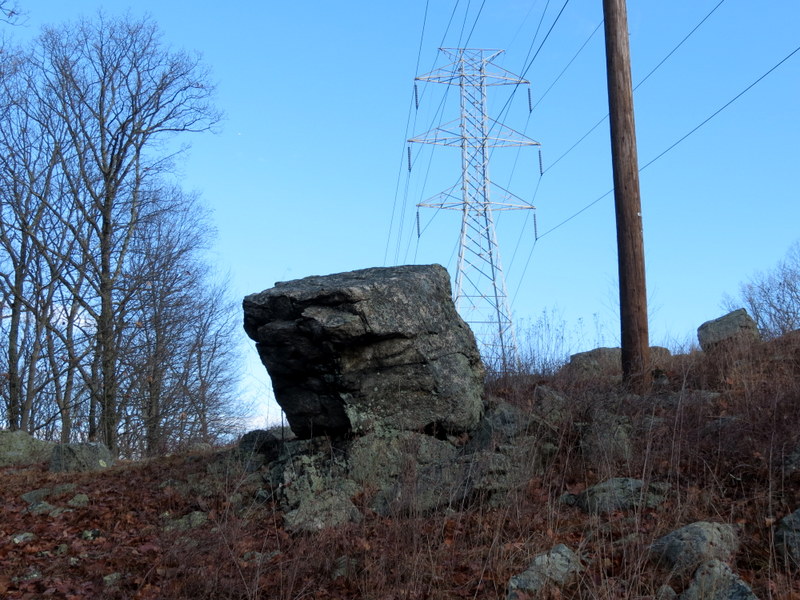
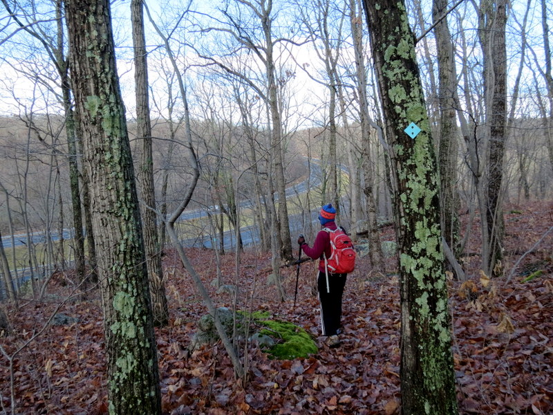
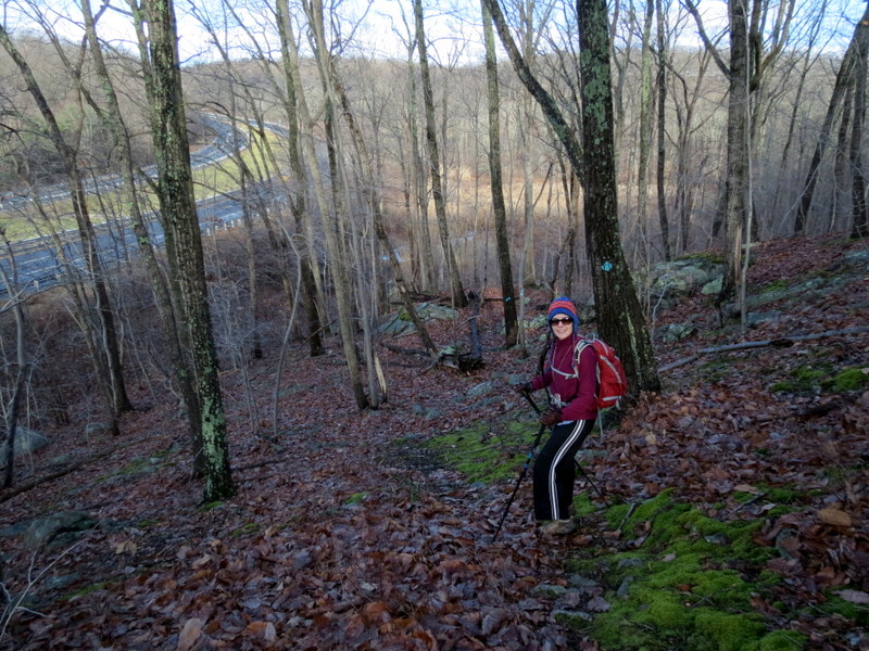
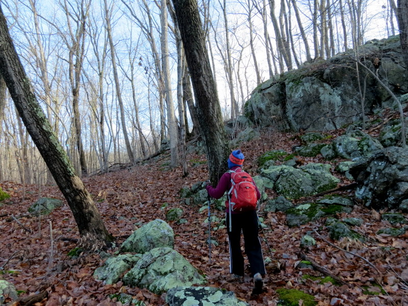
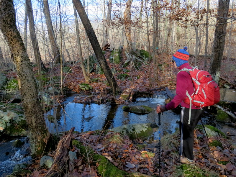
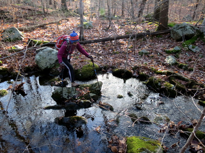
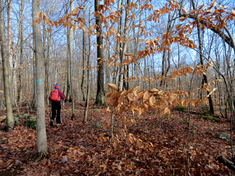
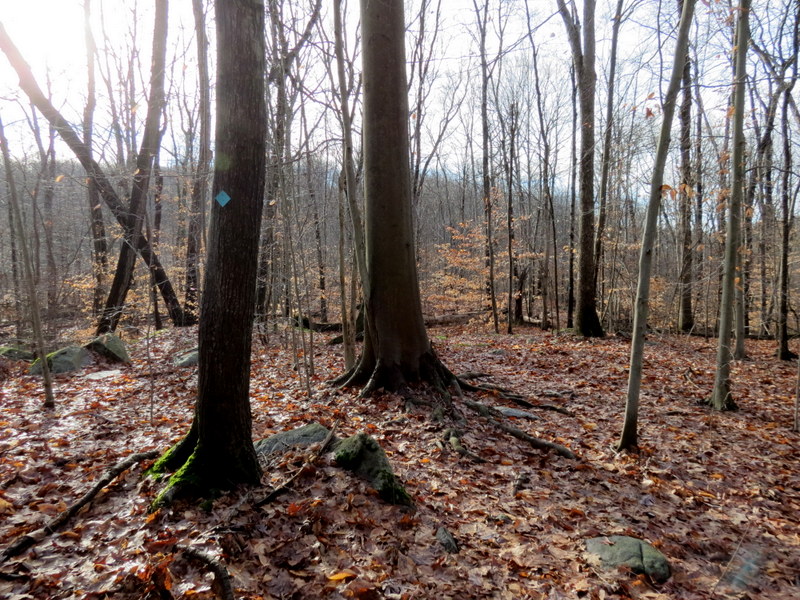
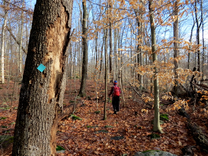
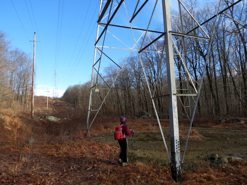
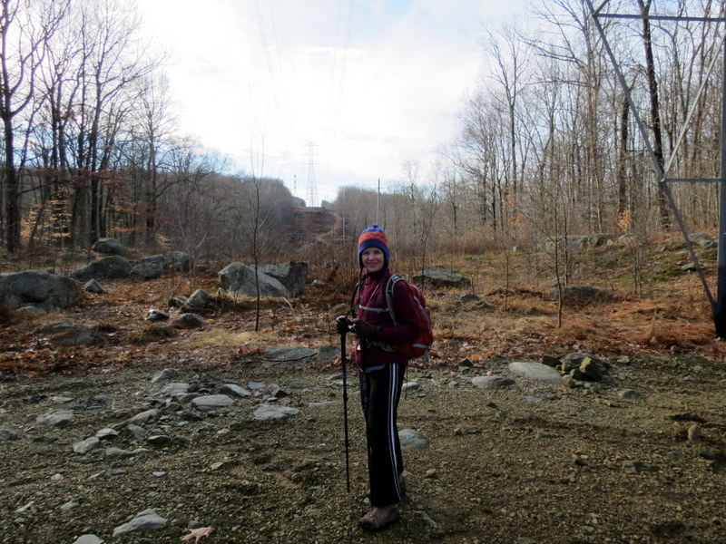
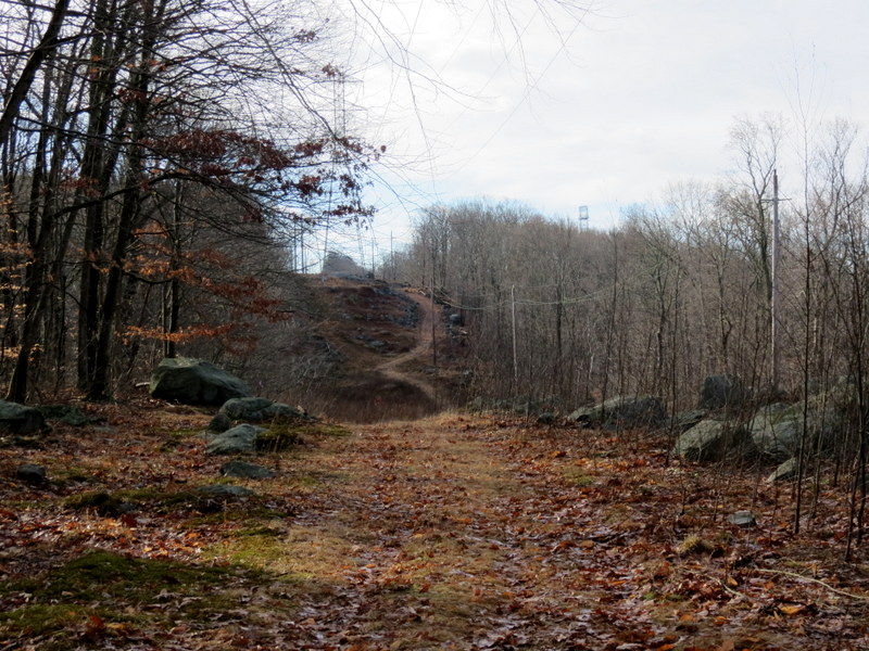
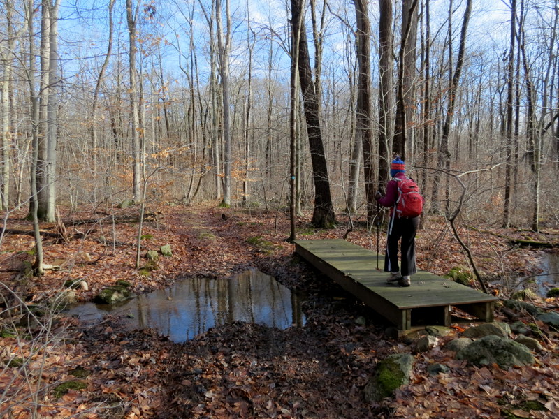
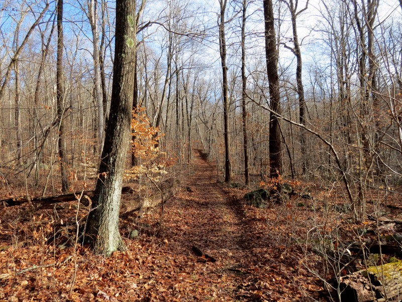
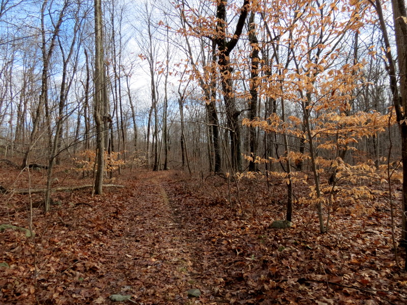
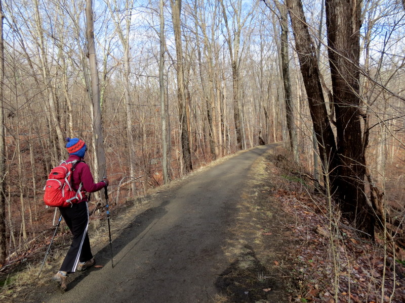
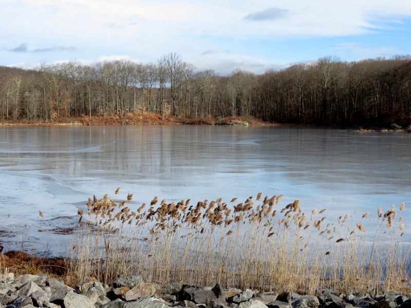
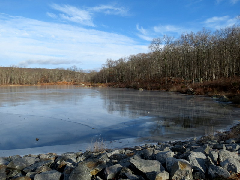
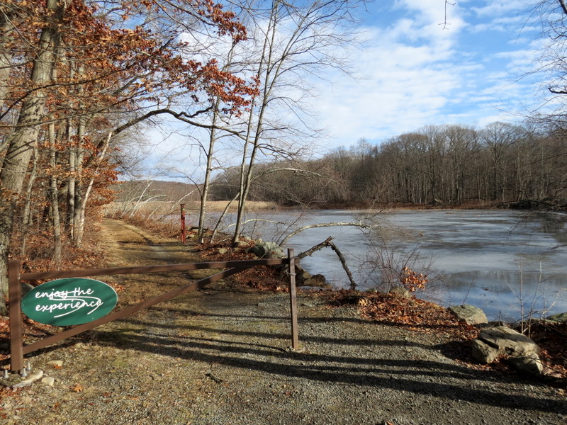
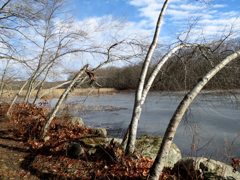
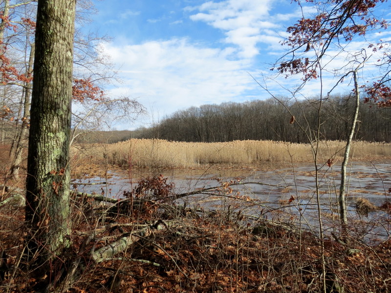
Using this map, we parked at Saffin Pond on Weldon Road, and headed south along the eastern bank of Saffin Pond on the black-colored Highlands trail spur. Crossing the bridge on the southern bank, we continued south on the HT forming a loop (which is not seen on the map) following the HT spur first (southern part), crossing through the powerline cut, coming very close to Route 15, heading north, then back east through the cut again, finally reaching the gate on Weldon Road. The map doesn't show the trail between Route 15 and the powerline cute that connects both of the legs shown. We headed back north to Saffin Pond, crossing the bridge again, this time heading east, we continued on the HT heading east, then northeast, reaching the yellow-blazed trail, which we took back to the car. We had a little extra time, so we crossed Weldon Road and continued north on the Ogden Mine Railroad trail, taking in the views of Toomey's Pond, before returning to the car. Total distance hiked today was 5.0 miles in just over 2.5 hours.
(Click on the thumbnail to bring up a bigger image in a pop-up window)
|
 |
 |
 |
 |
 |
 |
 |
 |
 |
 |
 |
 |
 |
 |
 |
 |
 |
 |
 |
 |
 |
 |
 |
 |
 |
 |
 |
 |
 |
 |
 |
 |
 |
 |
 |
 |
 |
 |
 |
 |
 |
 |
 |
 |
 |
 |
 |
 |
 |
 |
 |
 |
 |
 |
 |
 |
 |
 |
 |
 |

|
|
Photographs and content copyright © Dan Balogh Web design by Dan Balogh |