 |
|
This is hike #3-15 ("Pemetic Mountain") in the book
A Walk in the Park: Acadia's Hiking Guide (Tenth Edition). This was the second of nine hikes we did in Maine the week of May 10.
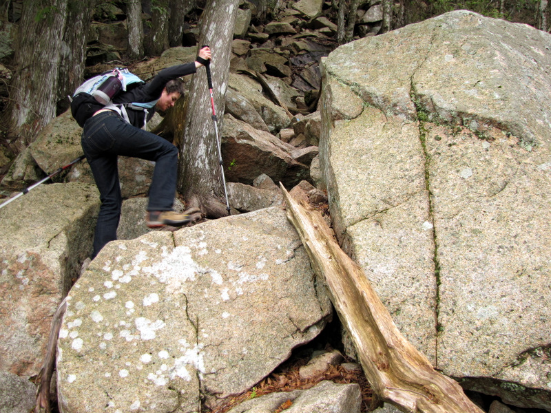
There are many ways to get to the top of Pemetic Mountain and according to the books, this is the most difficult way. This is clearly because of the Pemetic Ravine trail which is basically straight up, over varying size boulders and through a very tight ravine with the assistance of two ladders. The day we hiked this it rained all the previous night and was still raining when we drove out to Acadia. It rained for about 10 minutes (very lightly) as we skirted Jordan Pond and stopped by the time we got to the Ravine trail. But the rocks were quite slippery, which added a greater challenge to an already difficult ascent. But it was fun! (Click on the thumbnail to bring up a bigger image in a pop-up window)
|
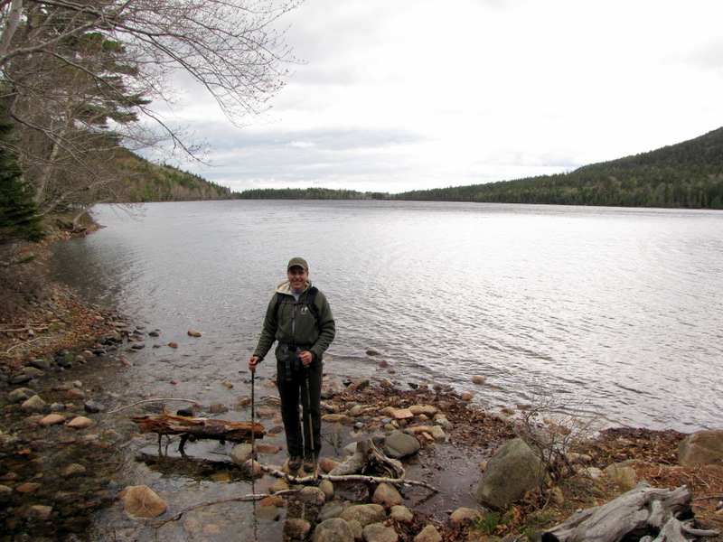
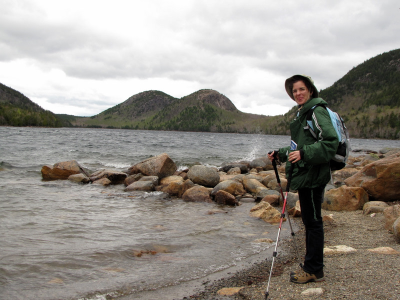 The Bubbles in the background ... |
 ... at the northern tip of Jordan Pond |
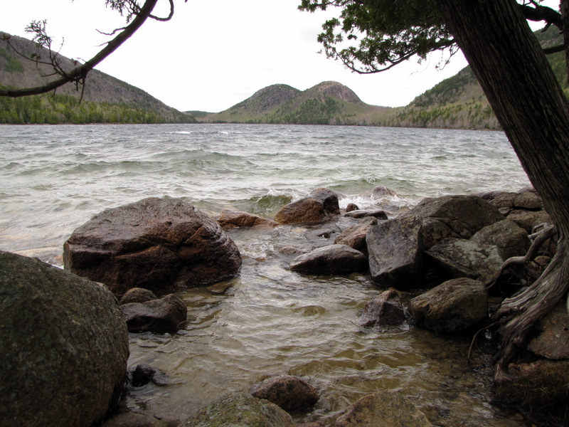
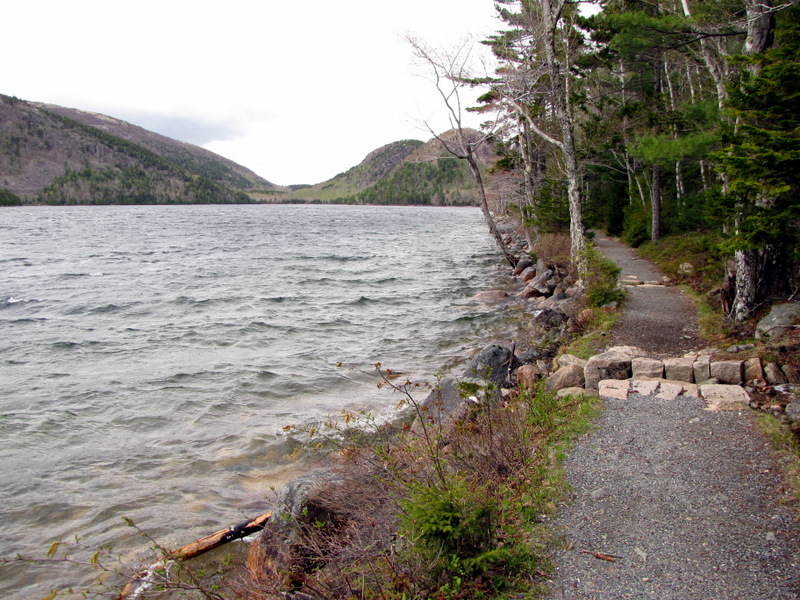
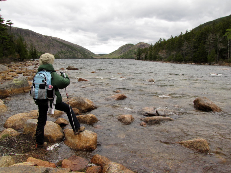 Jordan Pond |
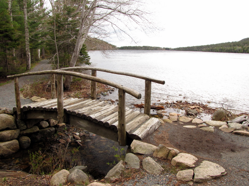
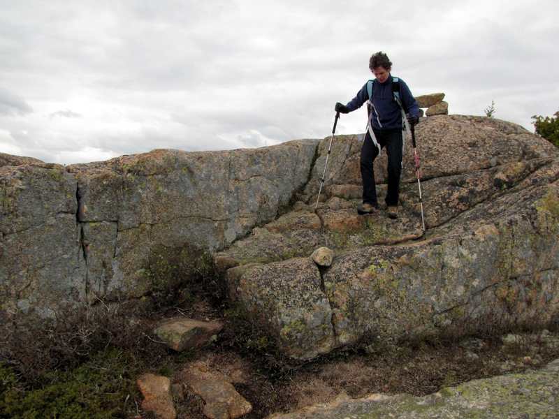
 A very windy stone bridge crossing |
 Penobscot Mountain |
 |
 |
 [Photo by Laura] |
 Bridge near Pemetic Ravine trailhead |
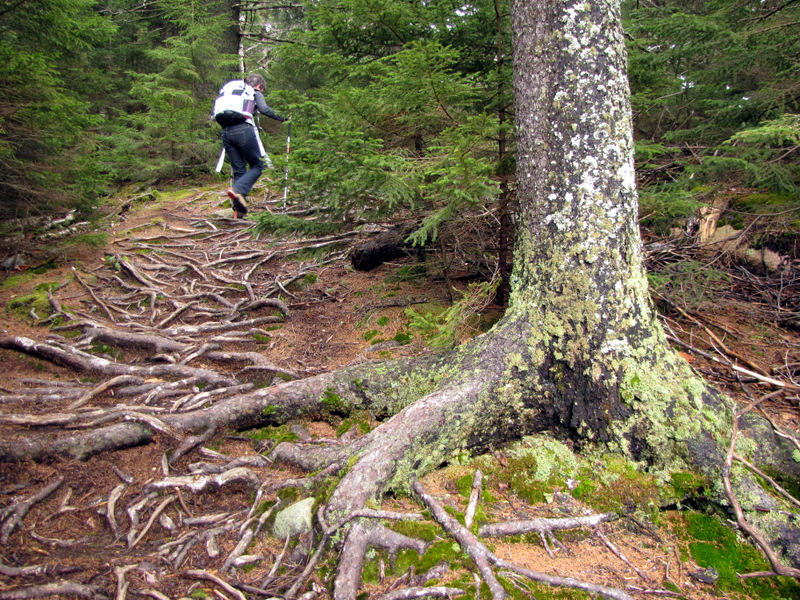
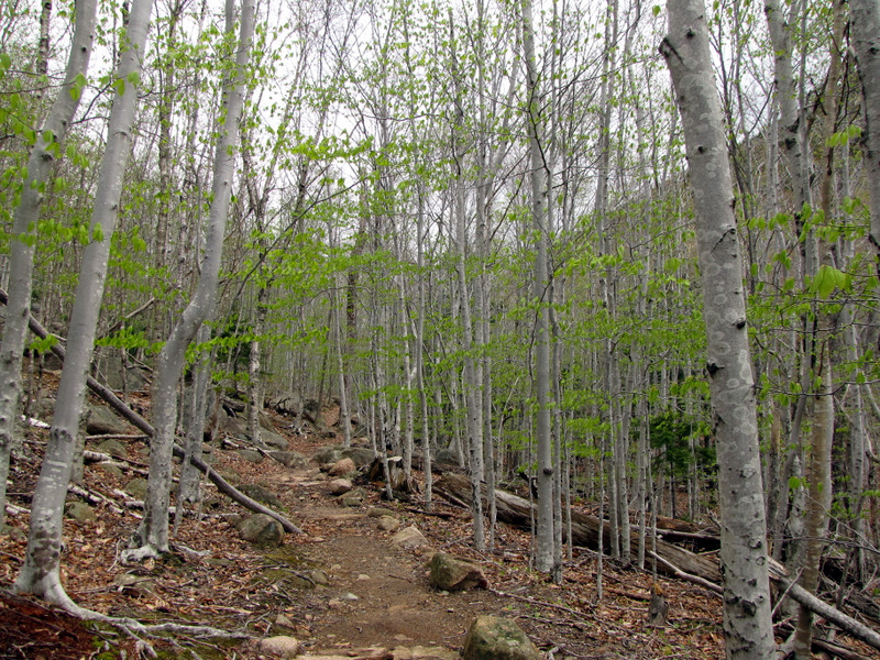 Young birches line the trail |
 The steep ascent begins |
 And continues |
 |
 |
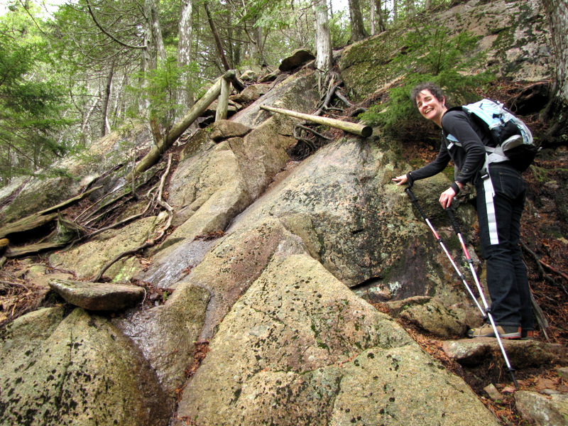 Wood handrails assist here |
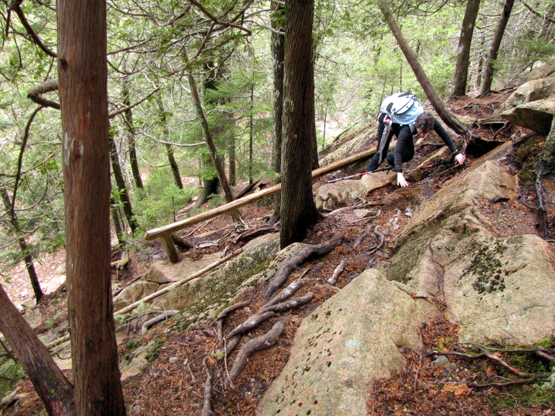 Looking almost straight down |
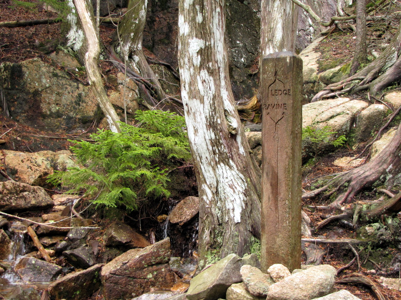 Trail splits: ravine or ledge |
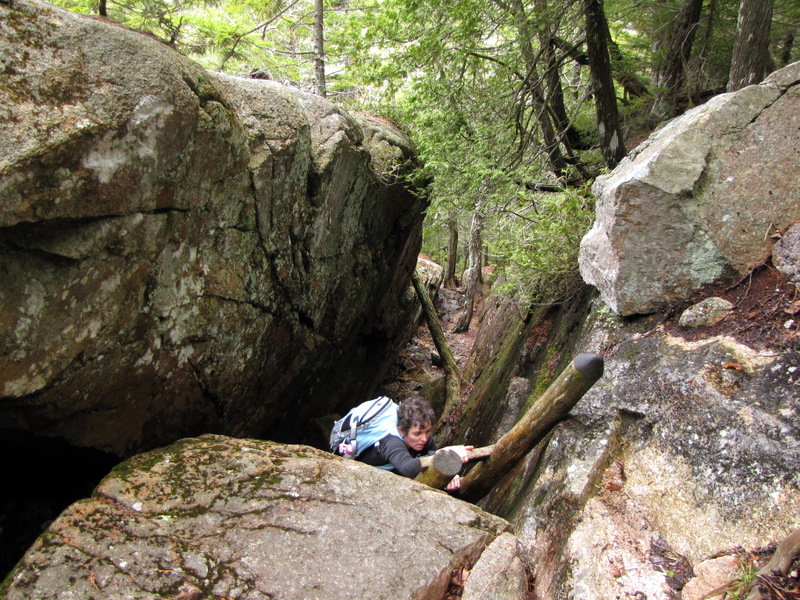
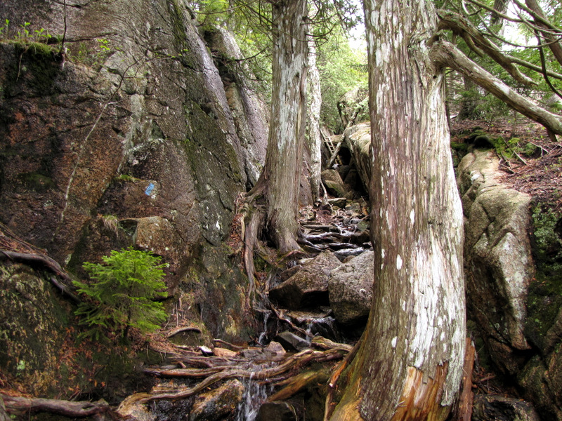 We took the tight ravine |
 First ladder |
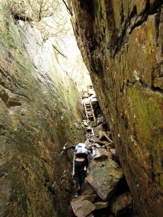
 Laura on first ladder |
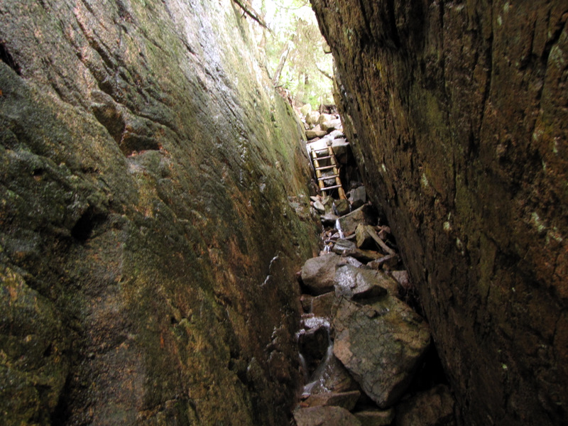 Second ladder deeper inside |
 Approaching second ladder |
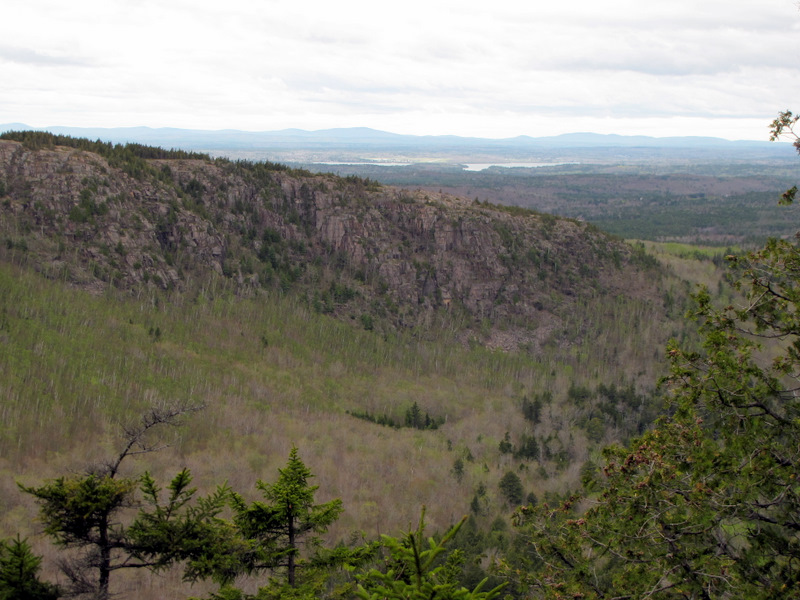 Penobscot Mountain comes in view |
 Steps continue the ascent |
 |
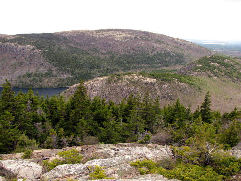 South & North Bubbles below |
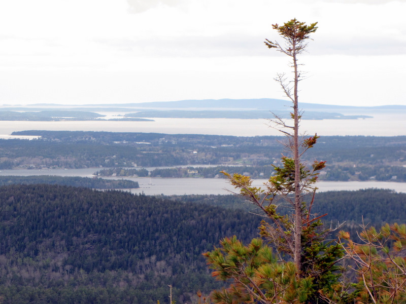
 View of Eagle Lake |
 [Photo by Laura] |
 |
 |
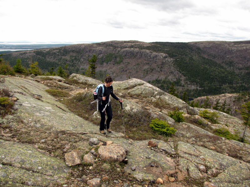
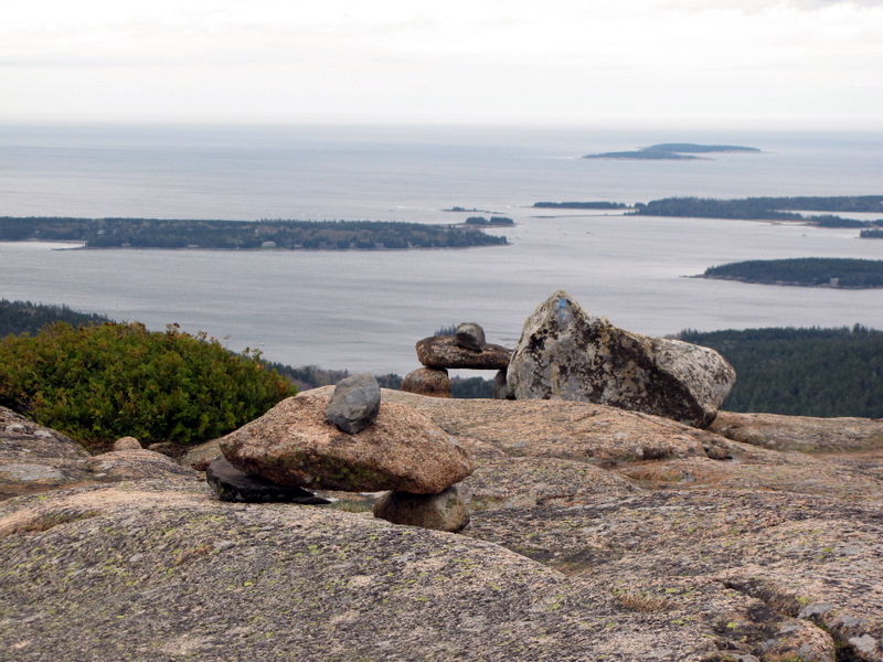
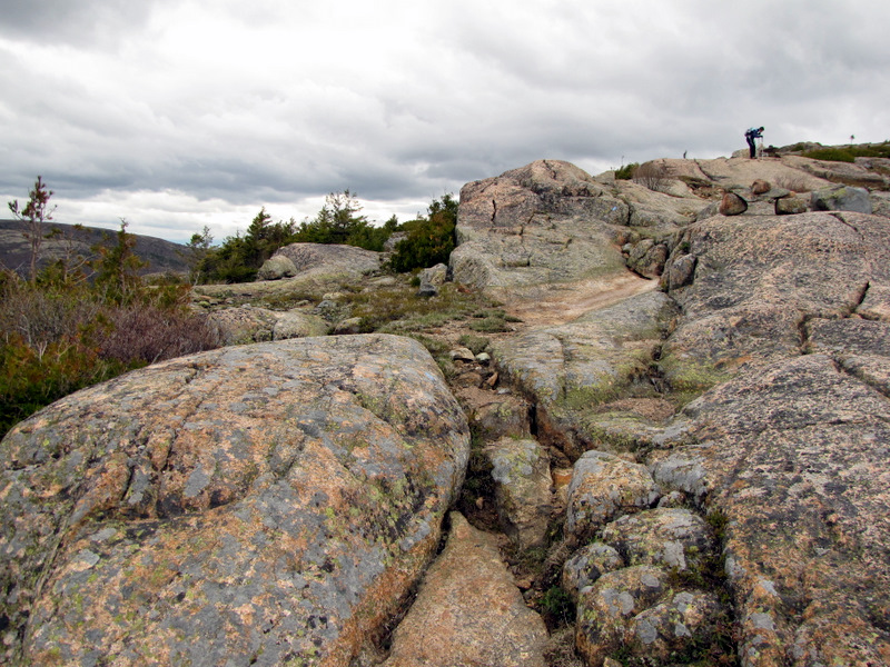
 Cairns mark the bare path |
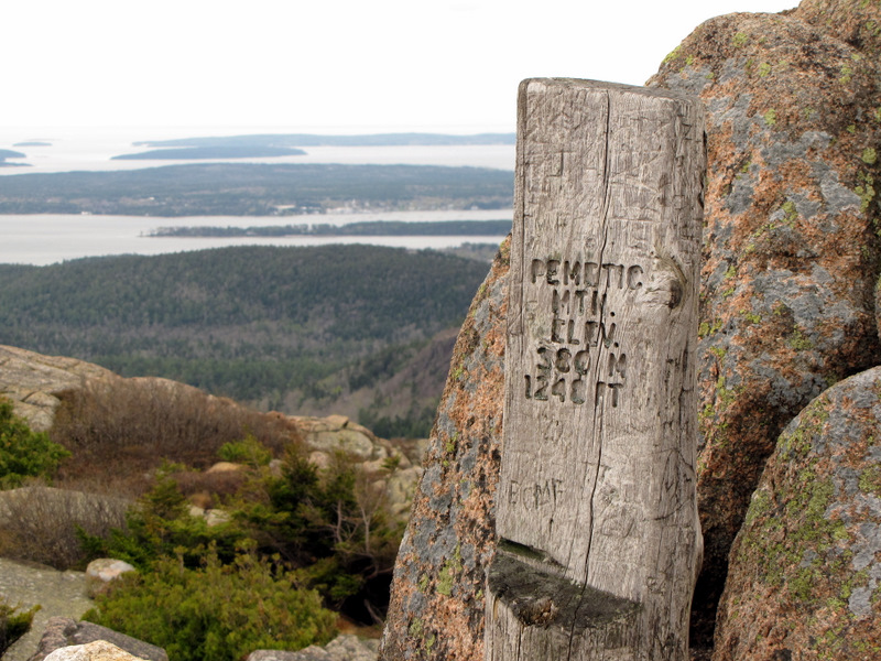 Pine post marks Pemetic peak |
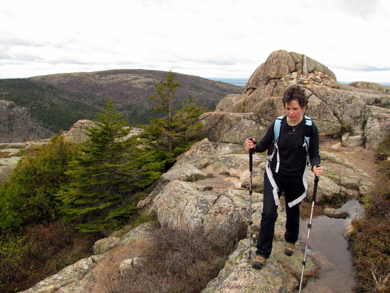 Starting the descent |
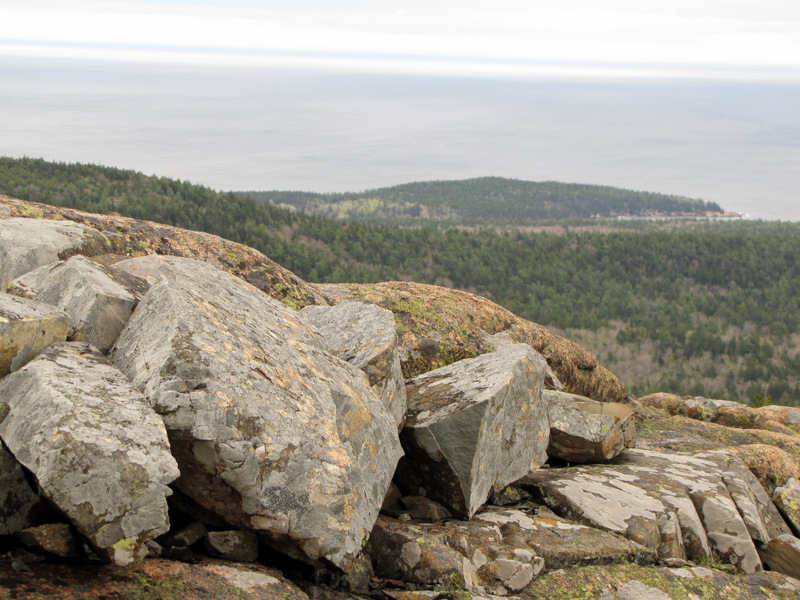
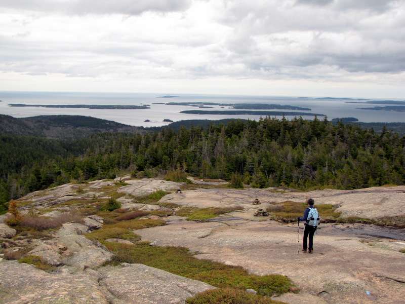
 Atlantic Ocean looking south |
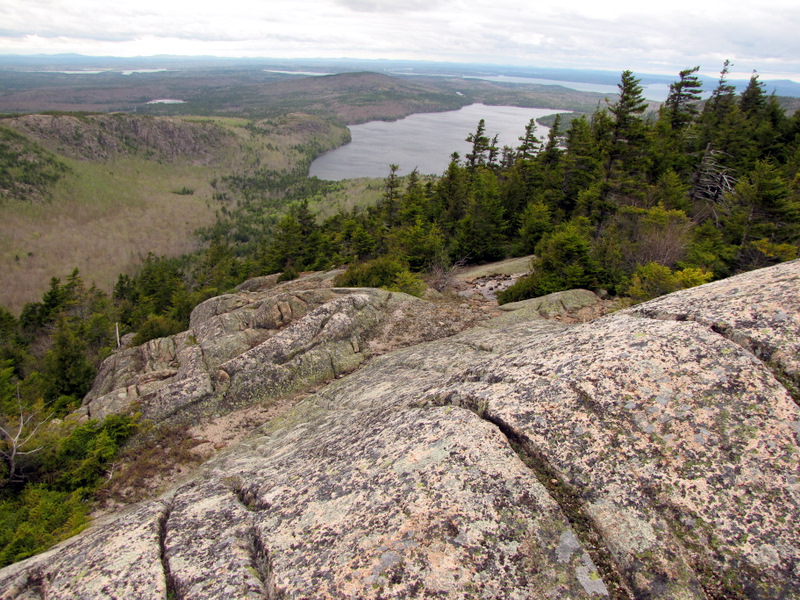
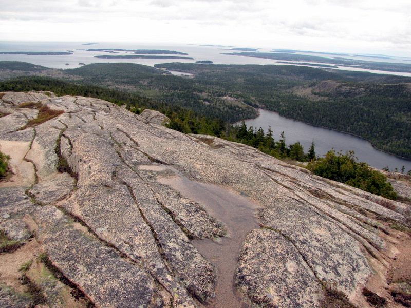 Jordan Pond below |
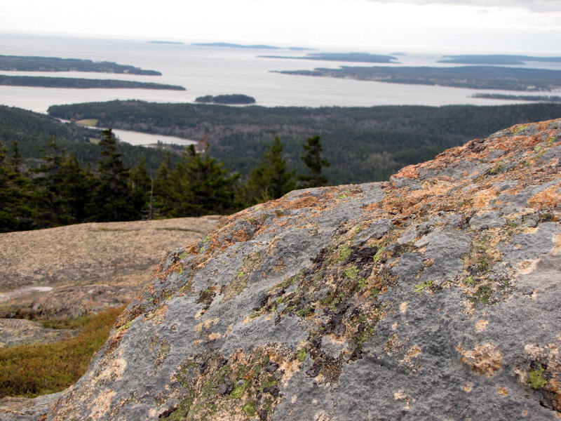
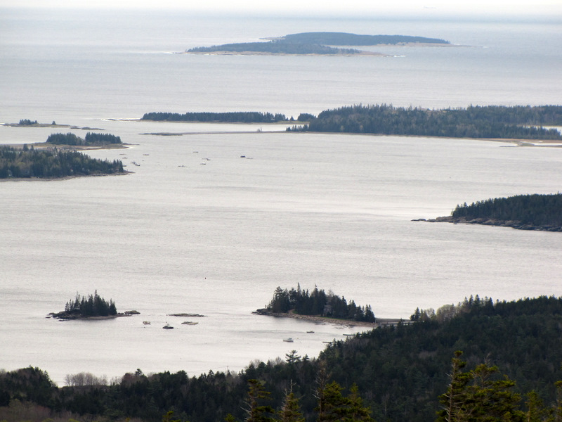
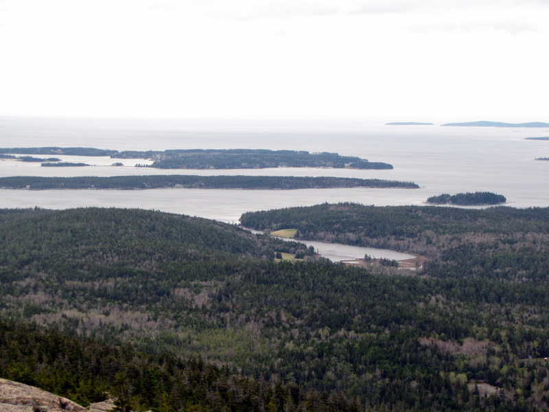 Islands in the Atlantic |
 |
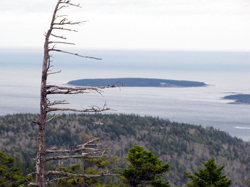
 On left, Little Cranberry Island |
 |
 |
 |
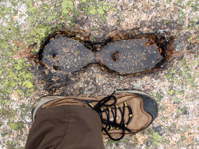 Acid rain marks? |
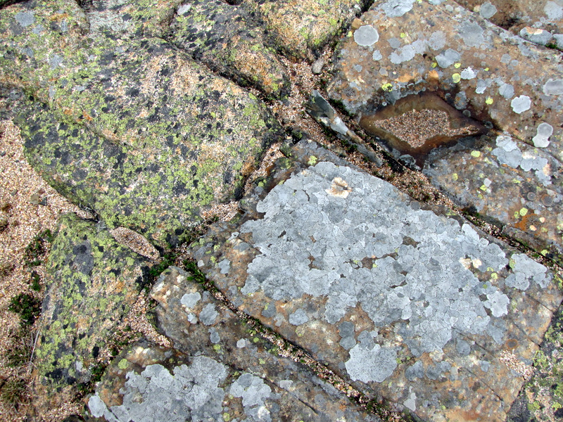 Like modern art |
 View east to the Atlantic |
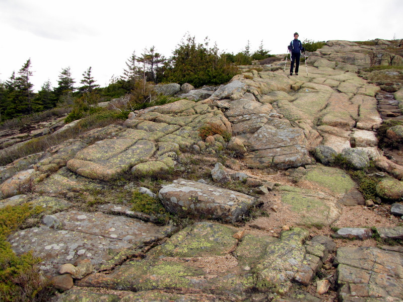 A bare descent |
 Great Cranberry Island |
 |
 |
 |
 |
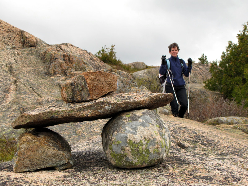
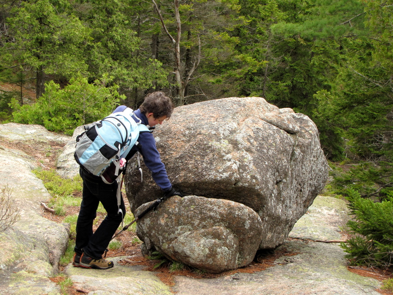 Trail tomfoolery |
 |
 |
 |
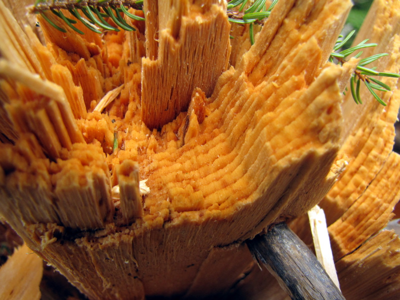 Freshly snapped tree |
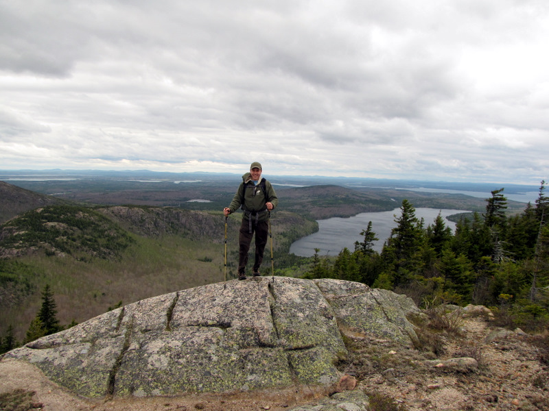
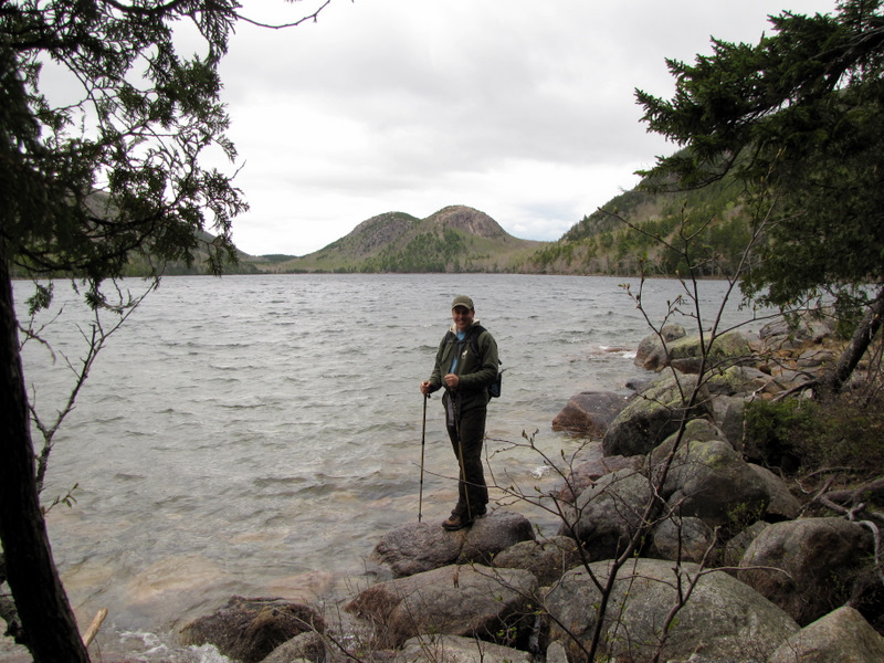 Dan & the Bubbles [photo by Laura] |

|
|
Photographs and content copyright © Dan Balogh Web design by Dan Balogh |