 |
|
This is one section of hike #3 ("The Paulinskill Valley Trail") in
Hiking New Jersey: A Guide to 50 of the Garden State's Greatest
Hiking Adventures (1st edition). The entire hike in that book is a 9.5-mile section of the 27.4-mile Paulinskill Valley trail beginning at the massive Paulinskill
Viaduct and ending at the parking lot in Kittatinny Valley State Park on Spring Valley Road in Marksboro. It's a shuttle hike requiring two cars. Those with only
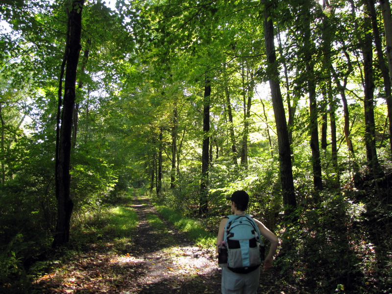
one car, like us, need to hike this in out-and-back sections. This afternoon we did the western 3.5-mile strip. And it was a total delight.
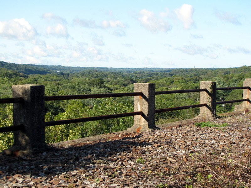
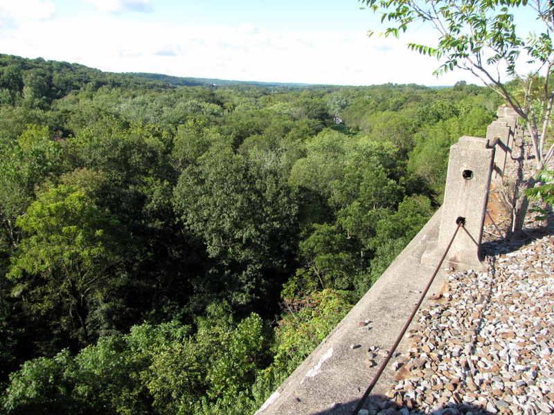
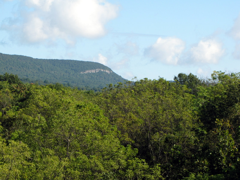
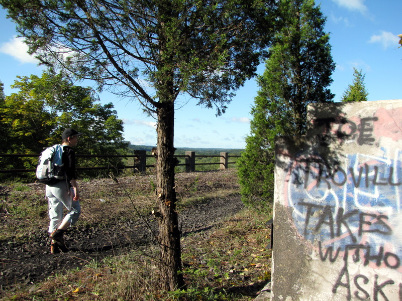
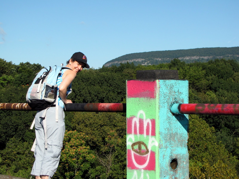
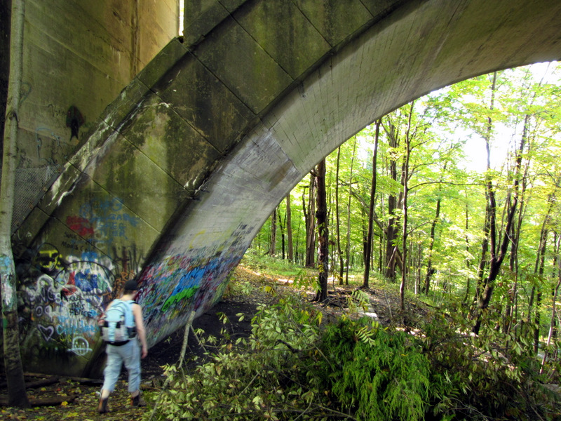
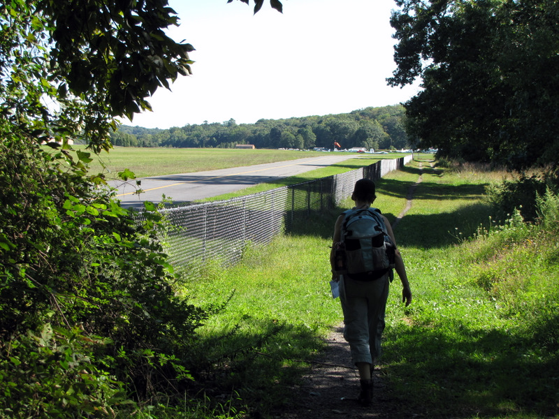
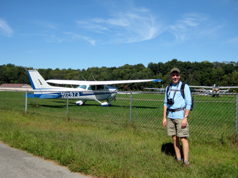
We first visited the incredible viaduct at street and river level, and then scrambled up the hill on the northern side of the Station Road and walked along the top. The views of Mt. Tammany were amazing, showing its entire length from its western end at the Delaware Water Gap to its eastern tip. After about 1.5 miles of exploring we hit the trail and trekked all the way to Blairstown Airport where we had lunch at the wonderful little Runway Cafe. This was the first time we ever had freshly served veggie burgers and fries on a hike! We then promptly walked a good part of it off by returning to the car 3.5 miles away. Total distance covered was 8.5 miles in less than 4 hours, including a sit-down lunch.
|
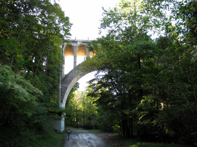 Approaching the viaduct |
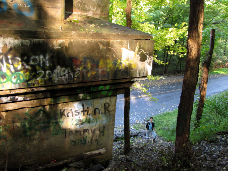
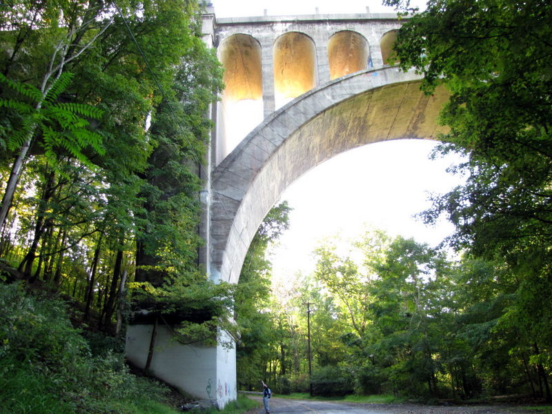 Laura is dwarfed by it! |
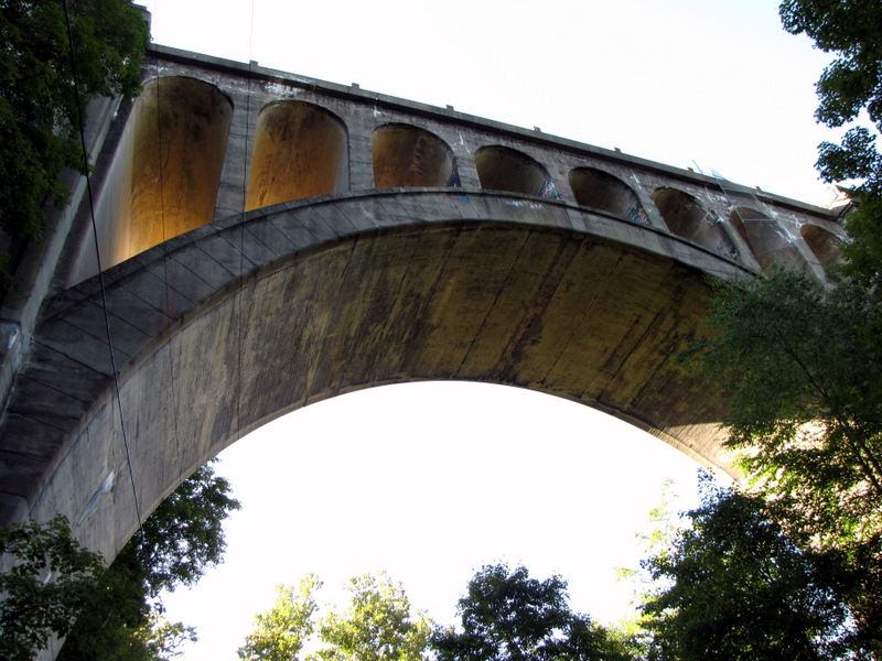 Amazing stonework |
 Too huge to photograph! |
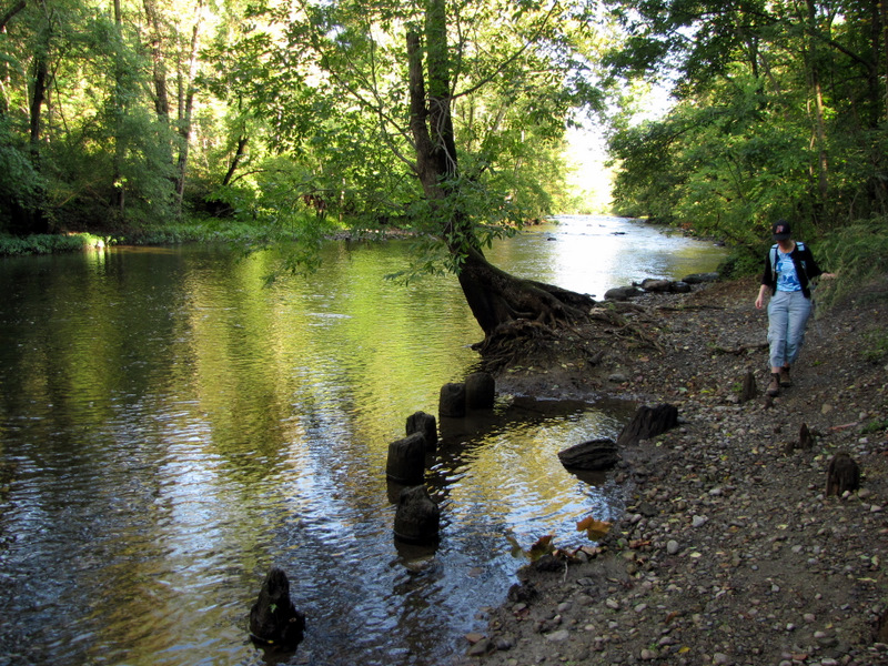 The Paulinskill River |
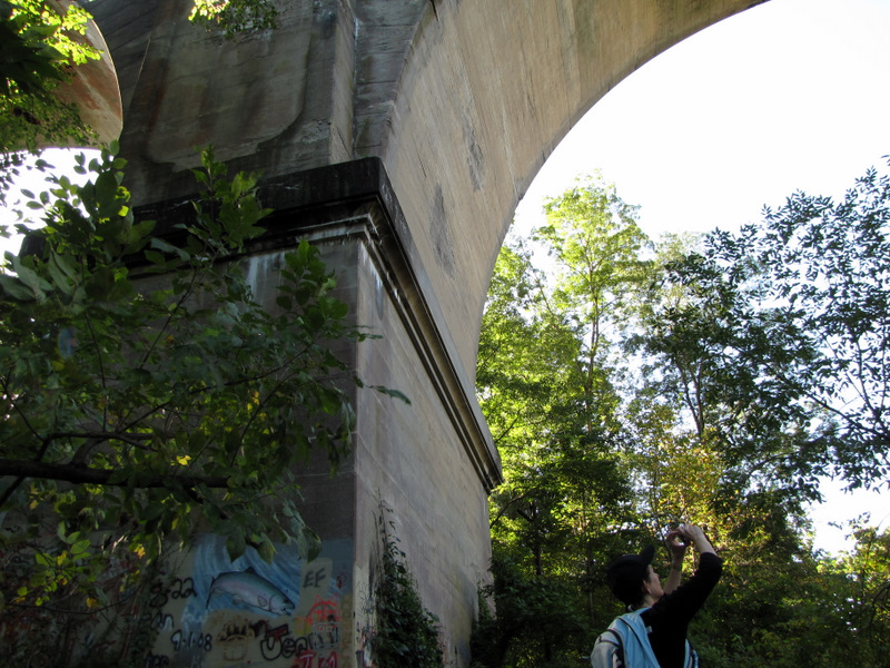
 View of one of the bases |
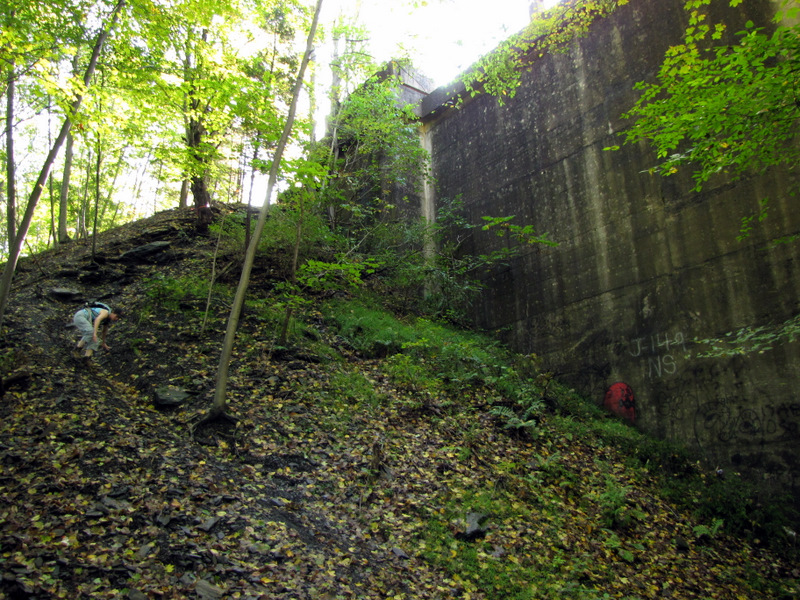
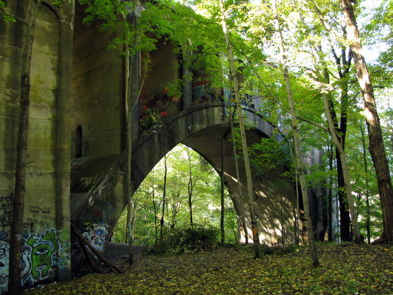 View of arch from hillside |
 Atop viaduct looking west |
 View southwest |
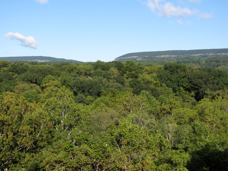 Delaware Water Gap |
 Mt. Tammany |
 View southwest |
 Eastern end of Tammany |
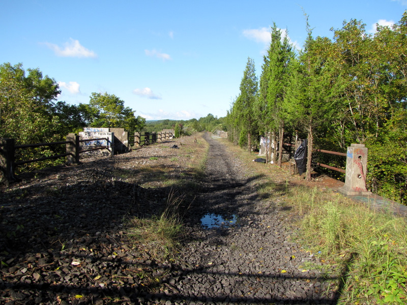
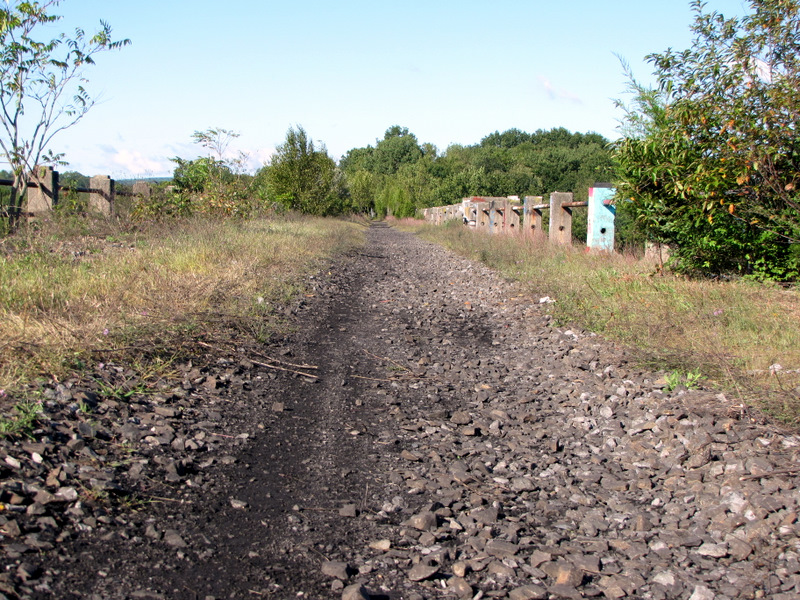 Rails and ties are gone |
 Laura joined me |
 Laura and Tammany |
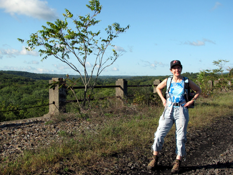 Laura on the viaduct |
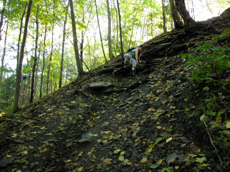 Scrambling back down |
 That's slippery |
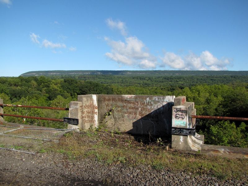
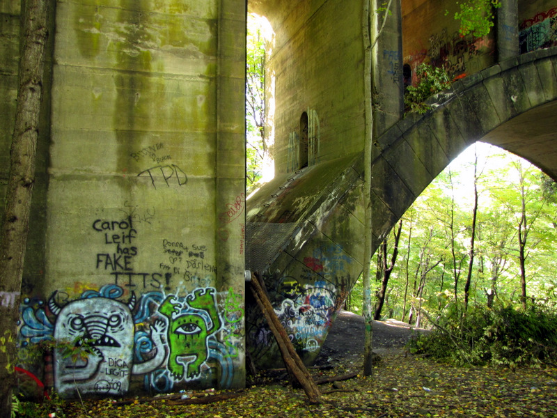 Colorful graffiti |
 Through the arch |
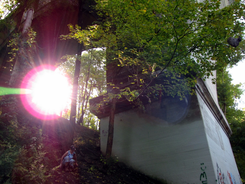 Back to road level |
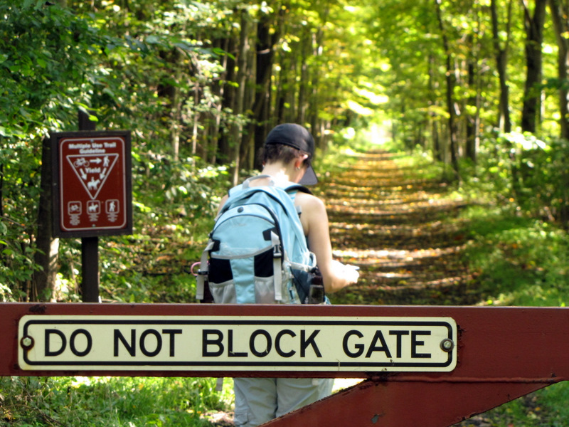
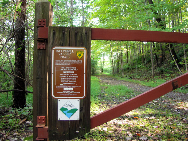 Station Road trailhead |
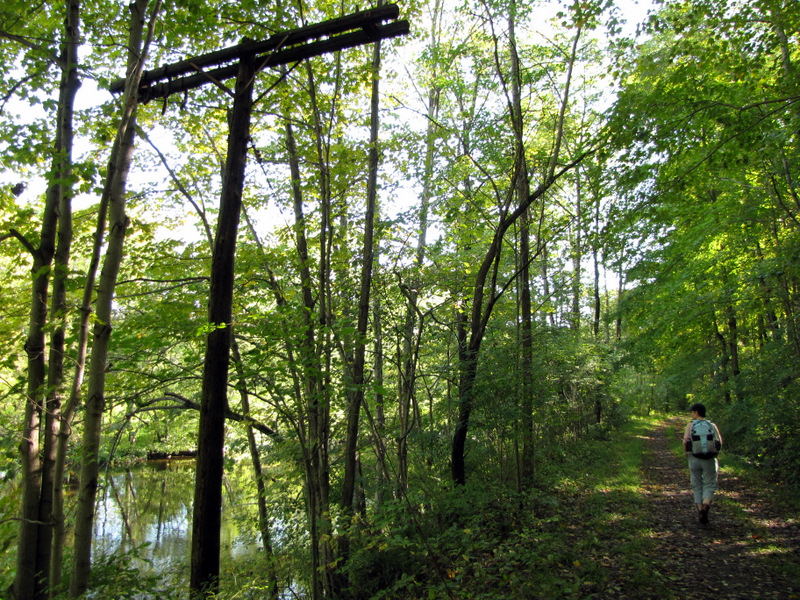 River and old telephone pole |
 Heading east |
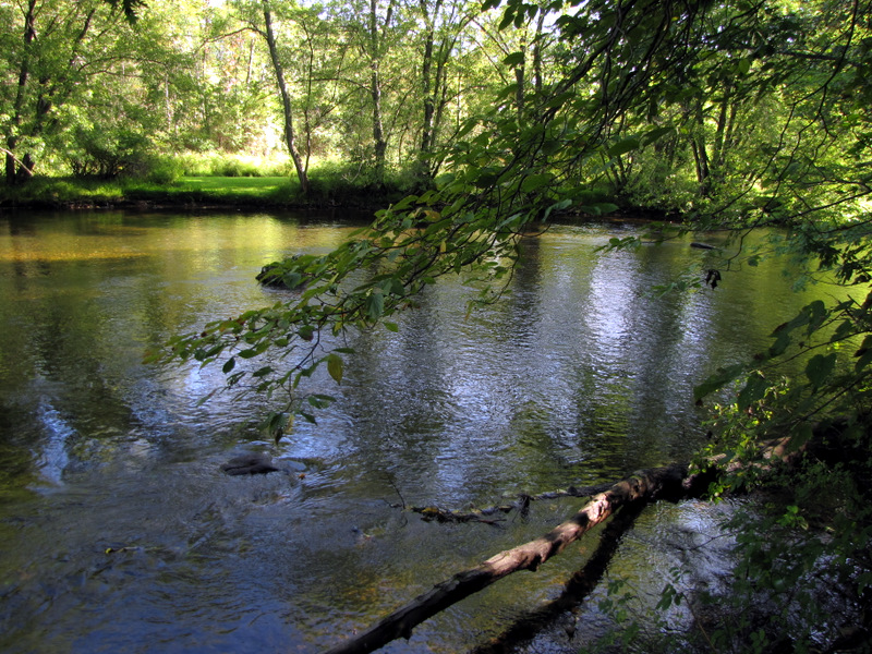 Paulinskill River |
 |
 Approaching power cut |
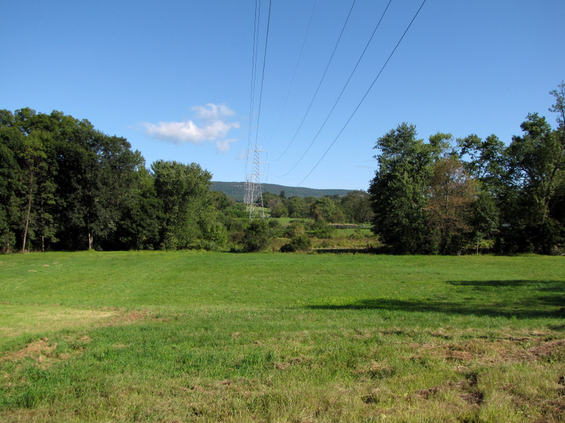 View north of power cut |
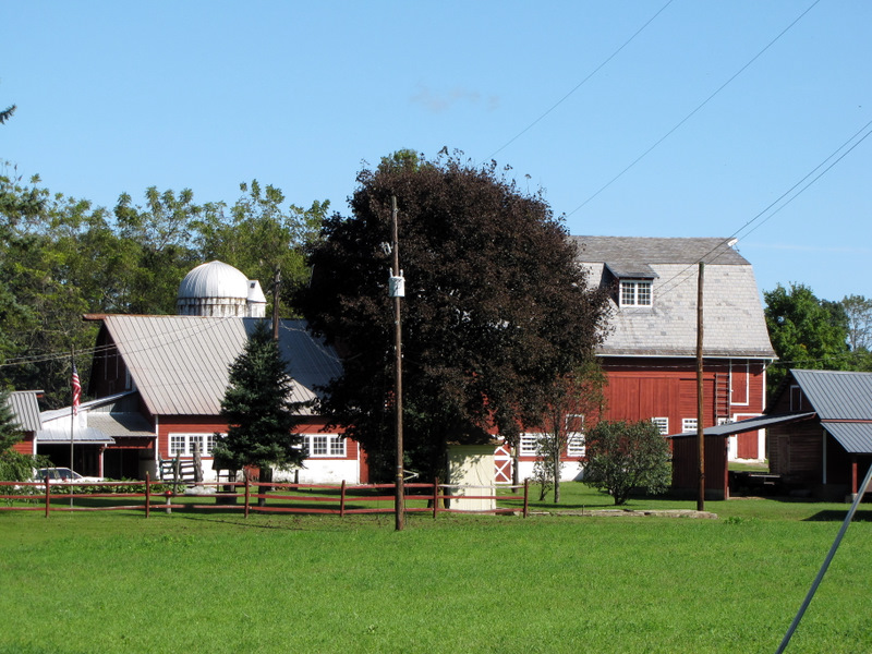
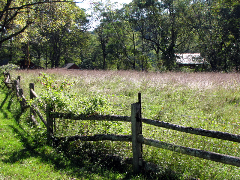
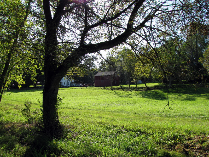 Beautiful farm |
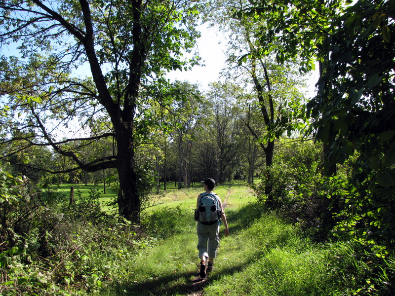
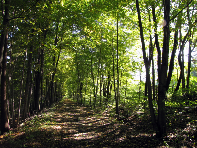
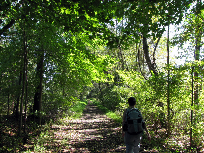
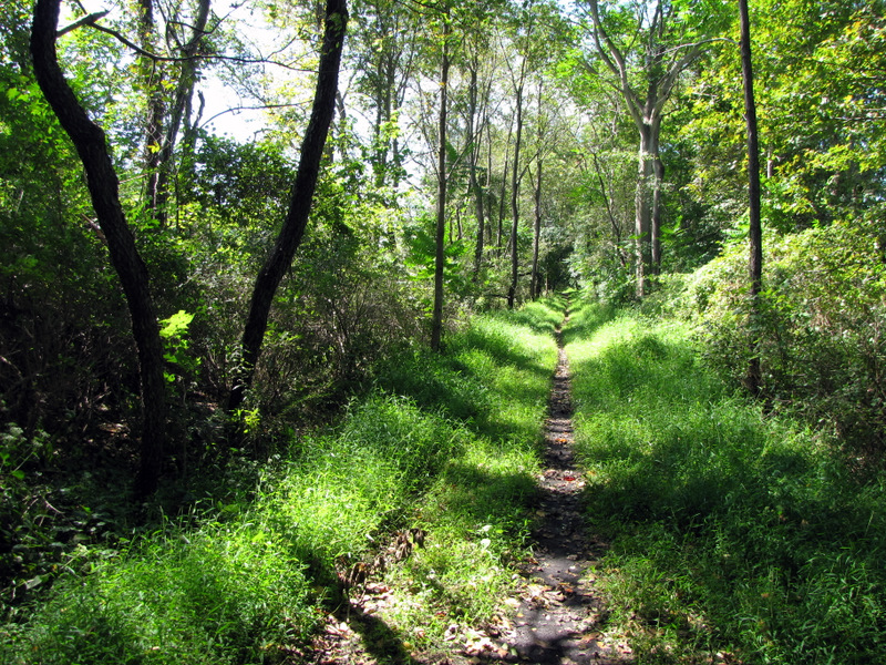
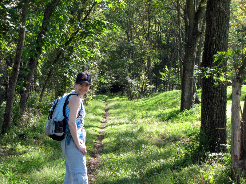 Narrow trail |
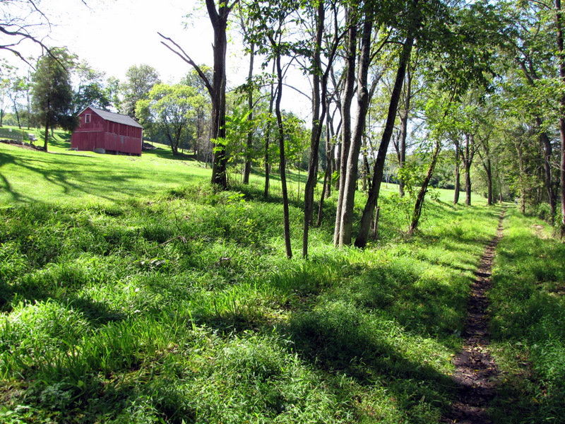
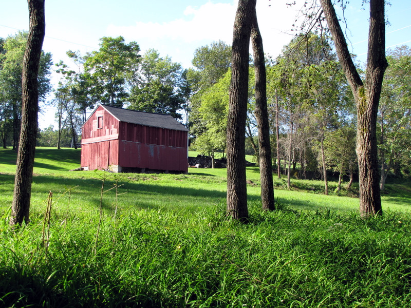 Barn |
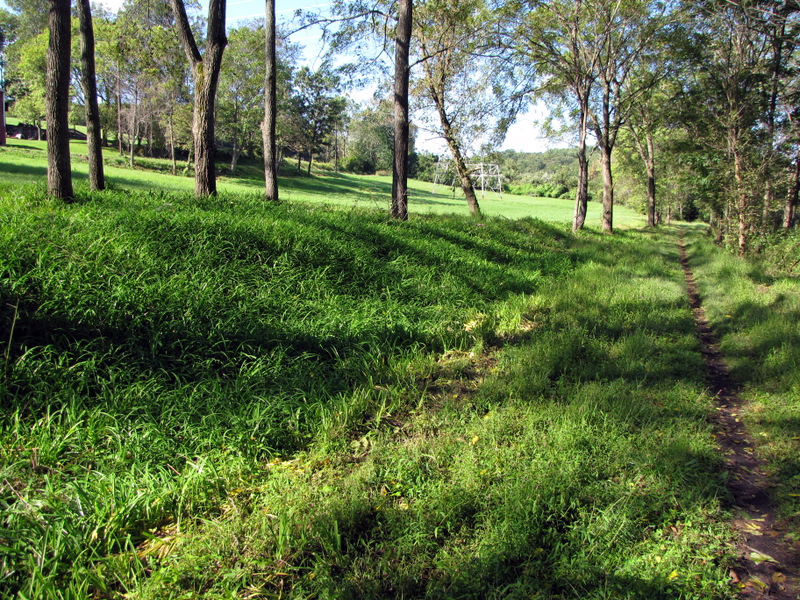 Lush grass on trail |
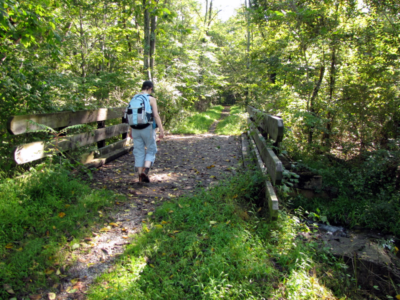 Bridge crossing |
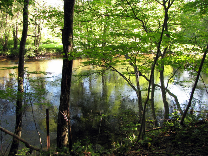
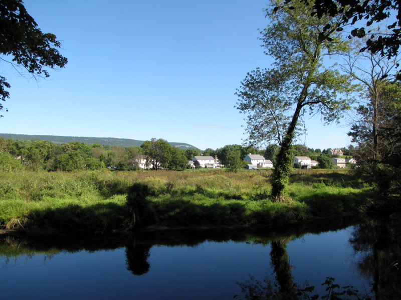 Paulinskill River near Vail |
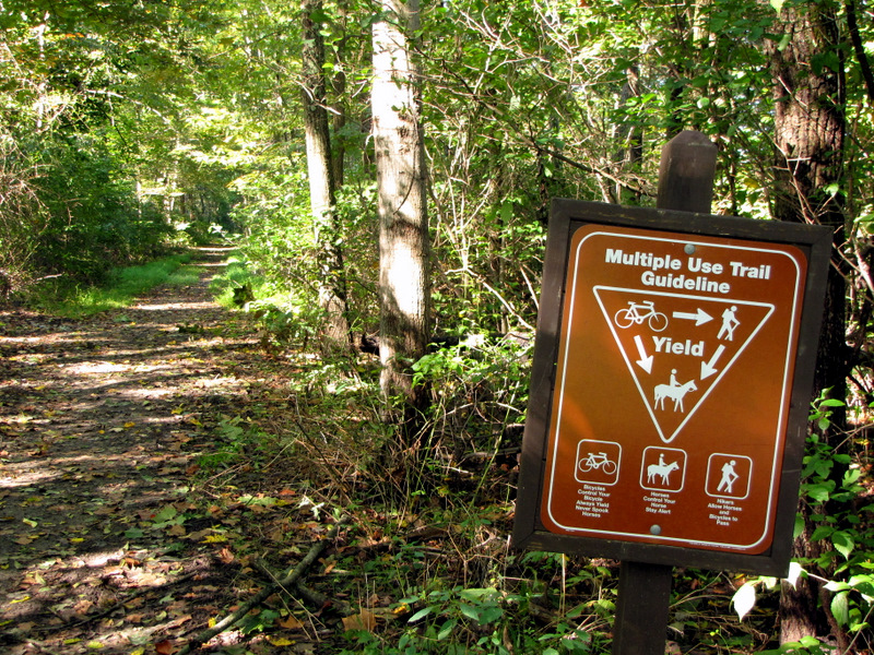 Bikes yield to all |
 Near a road crossing |
 |
 |
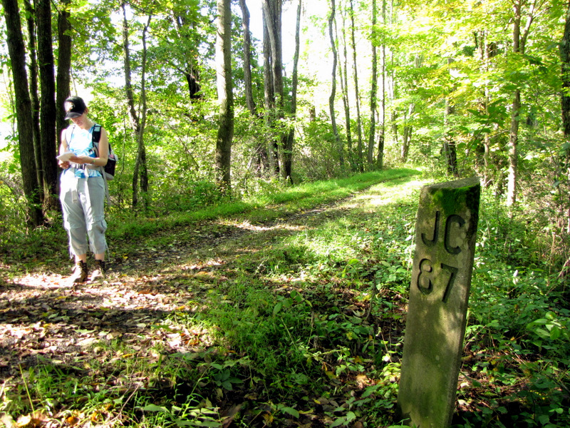 87 miles to Jersey City |
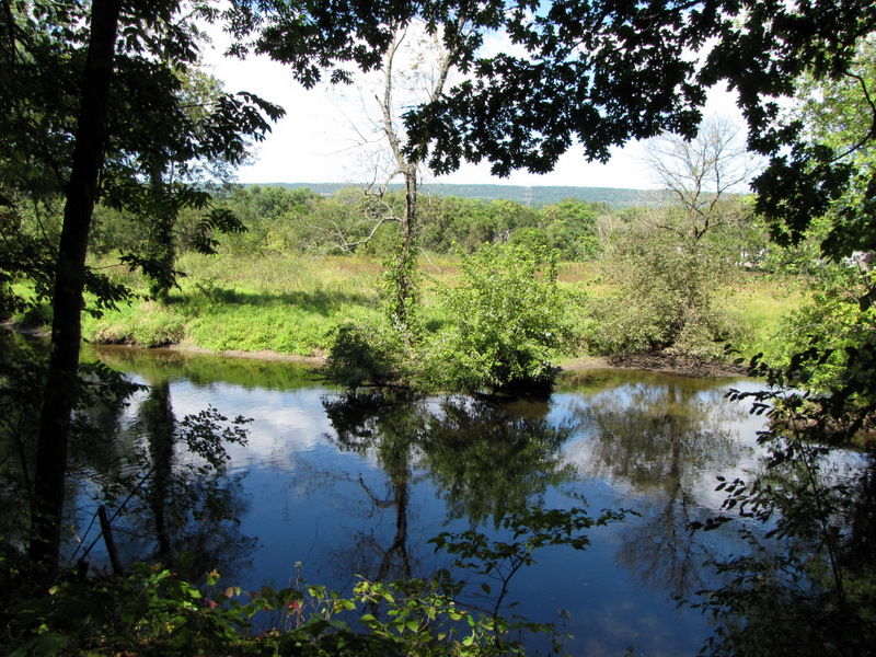
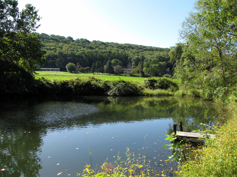 Small pond off trail |
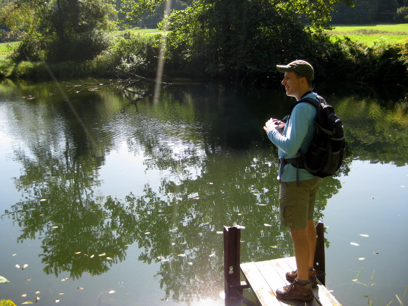 [Photo by Laura] |
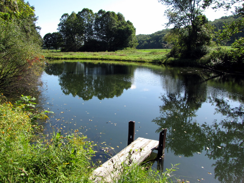 Another view |
 Another farm |
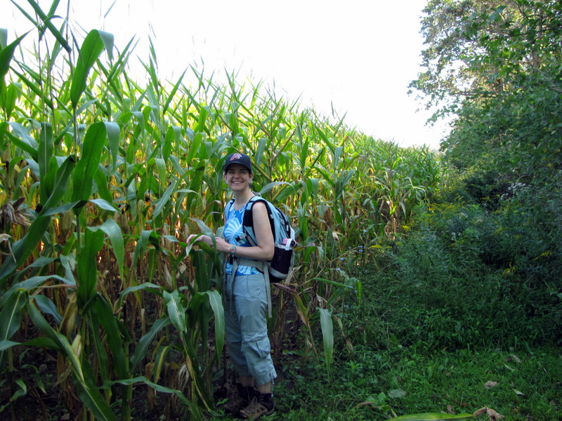 Child of the corn |
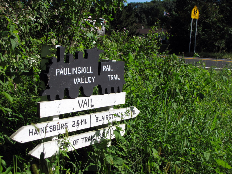 Trail sign |
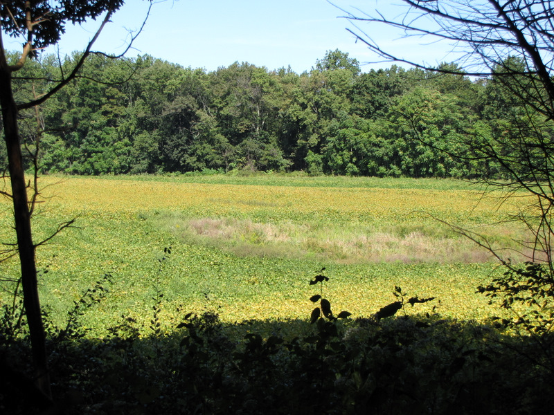
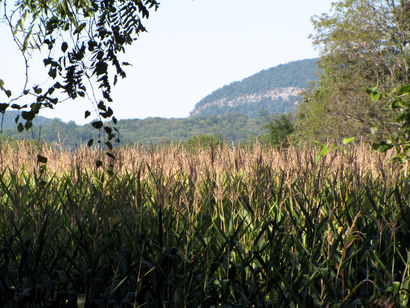 Cornfields and Tammany |
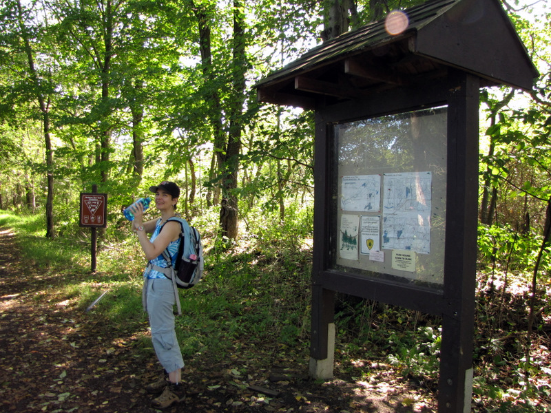 Rare trail kiosk |
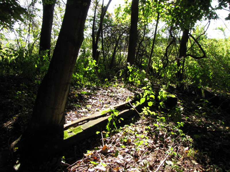 Abandoned railroad ties |
 |
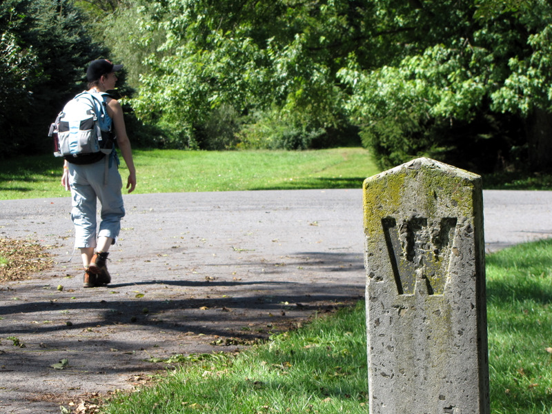
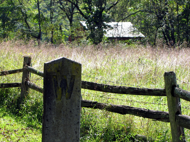 W for "whistle" at road crossings |
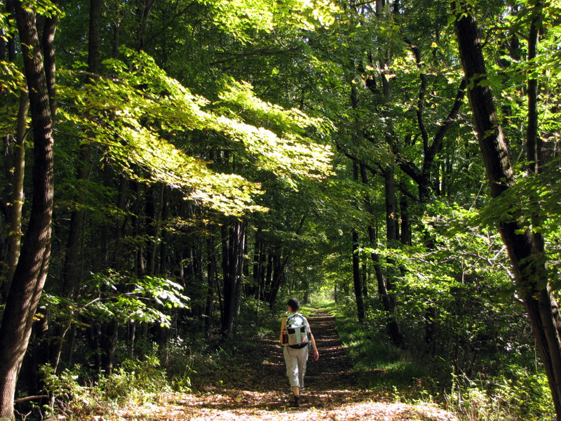
 Still heading east |
 |
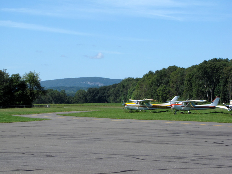
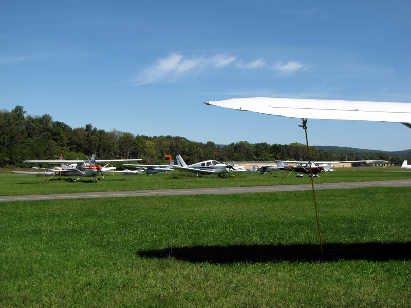
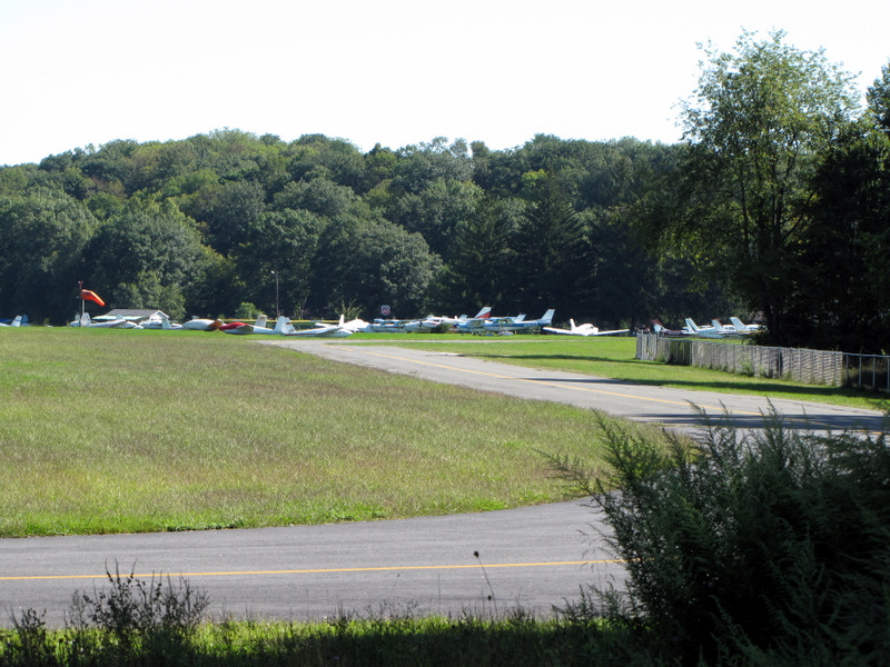 First view of airport |
 |
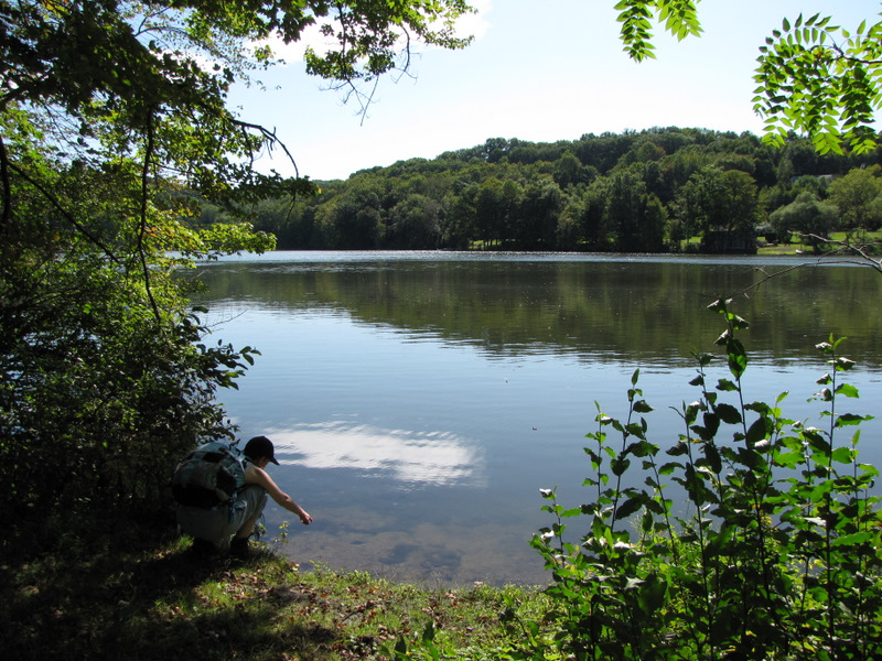
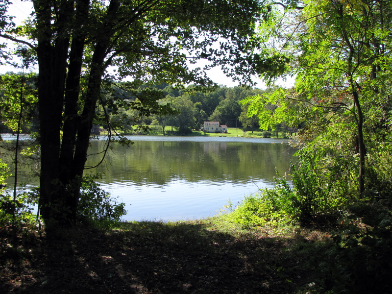 Lake Susquehana |
 |
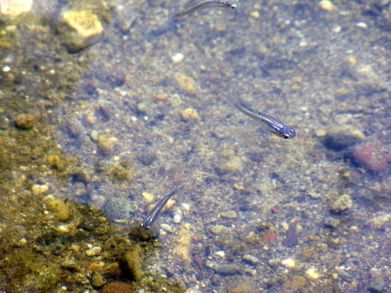 Guppies in lake |
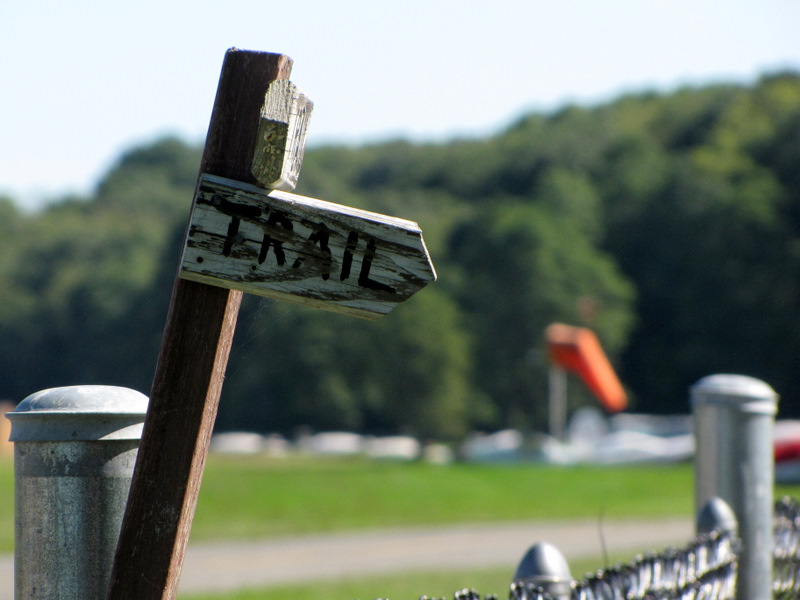 Trail sign and windsock |
 Wingless plane |
 Sign in back of cafe |
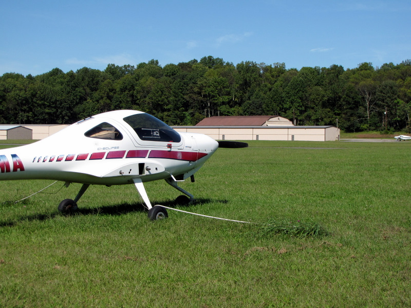
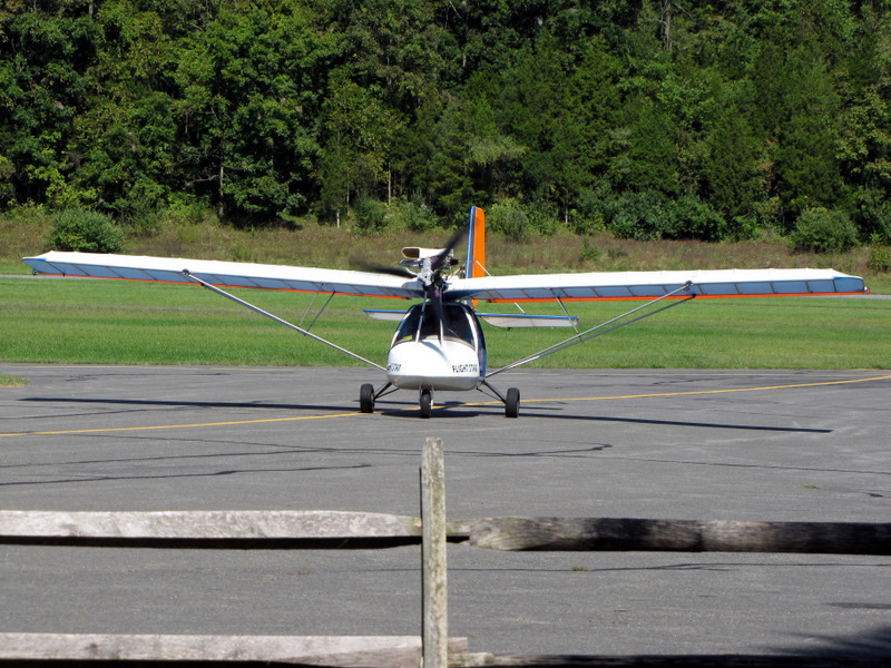 Plane taxiing in |
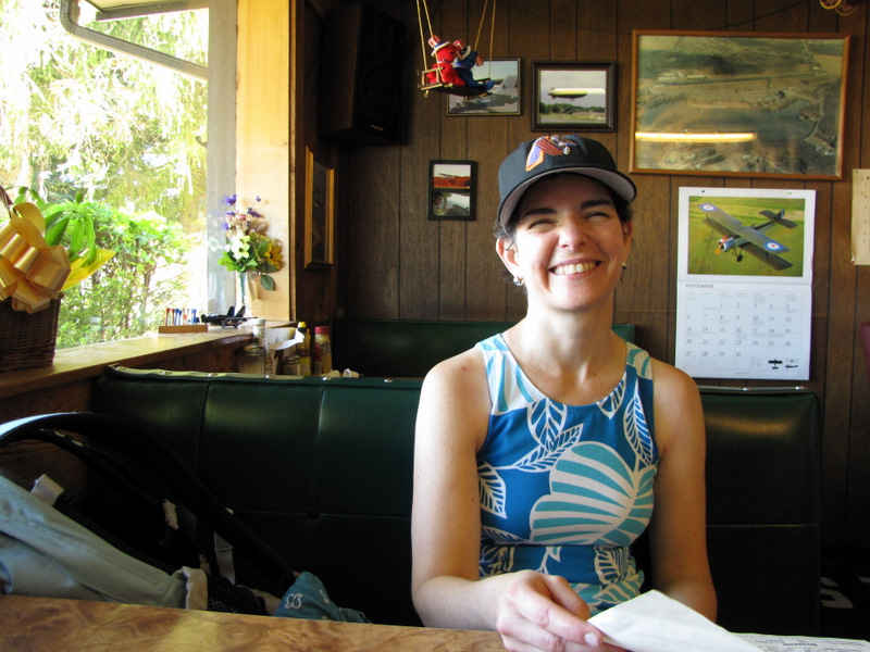 Our lunch spot: Runway Cafe |
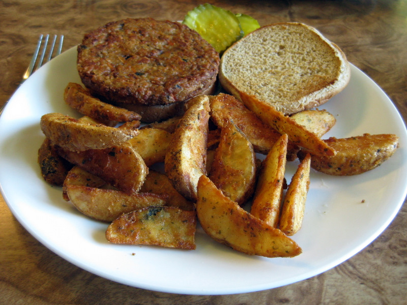 Laura's lunch [photo by Laura] |
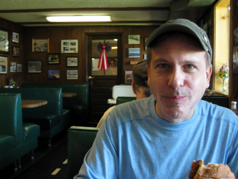 [Photo by Laura] |
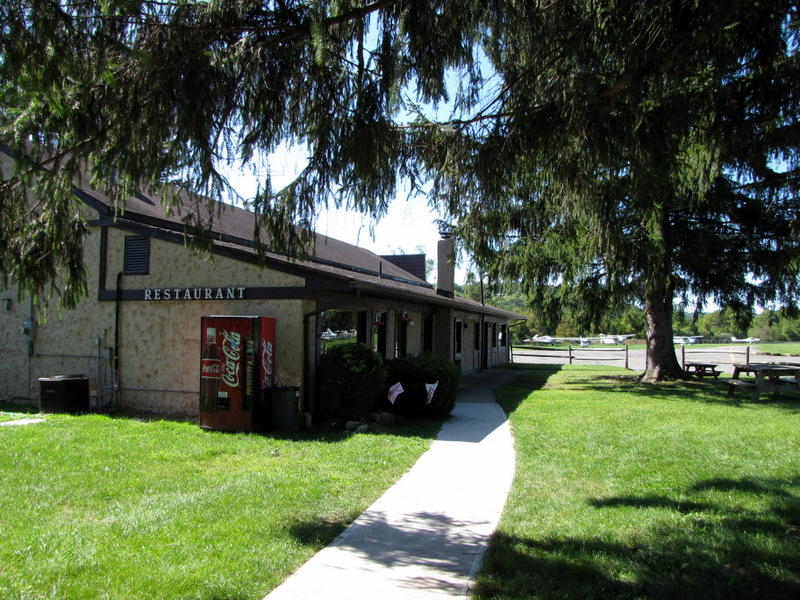 The Runway Cafe |
 DWG across airport road |
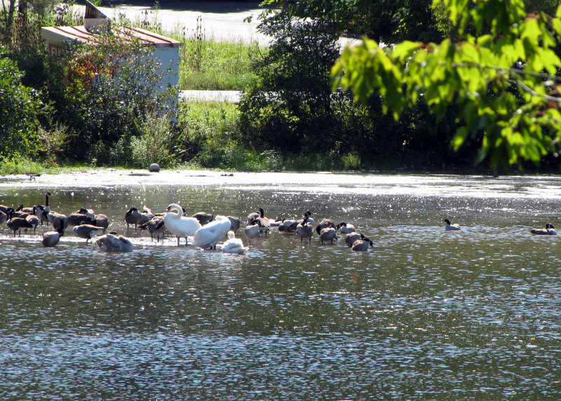 Ducks and swans in Lake Susquehana |
 |
 [Photo by Laura] |
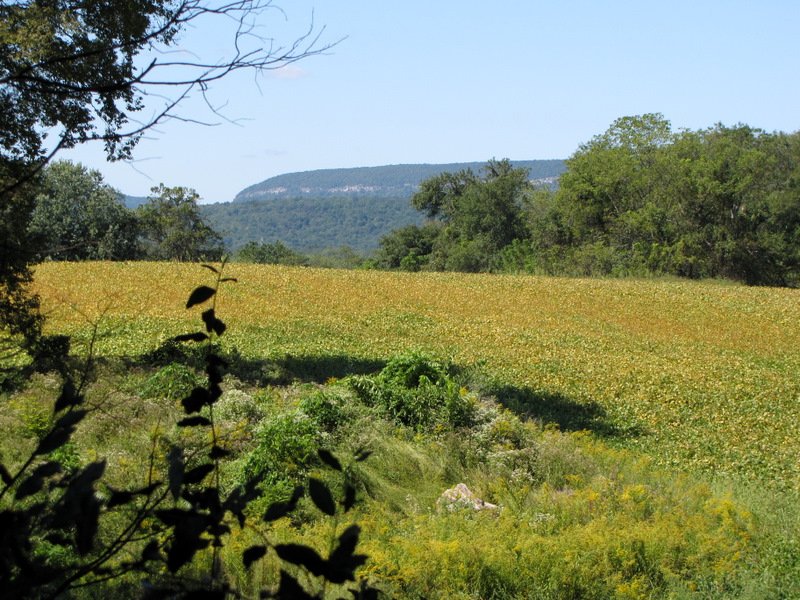 Farmland and Mt. Tammany |
 |
 Another "W" for "whistle" |
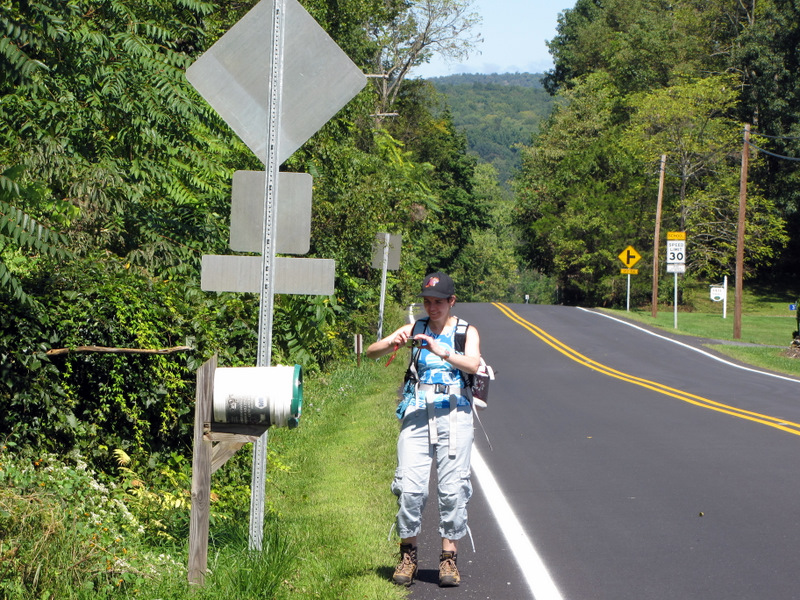 Curious mail box |
 |
 Heading west |
 |
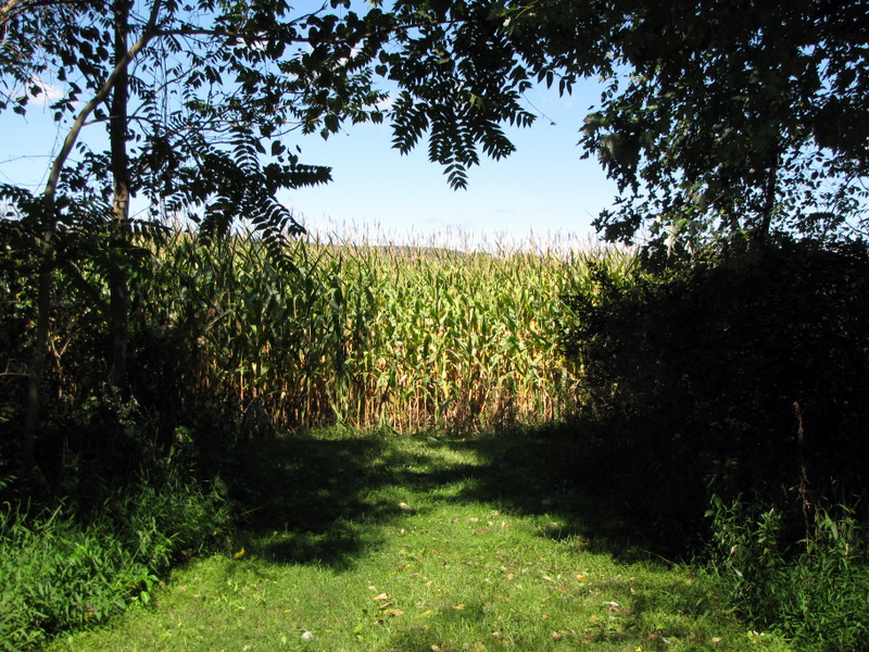 Cornfield |
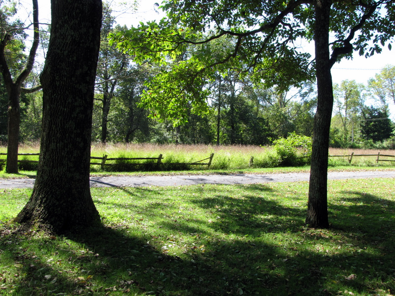
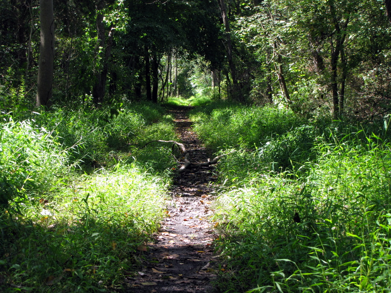
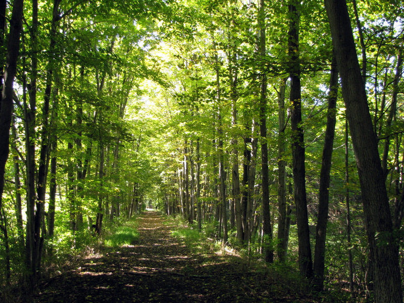 Beautiful wooded trail |
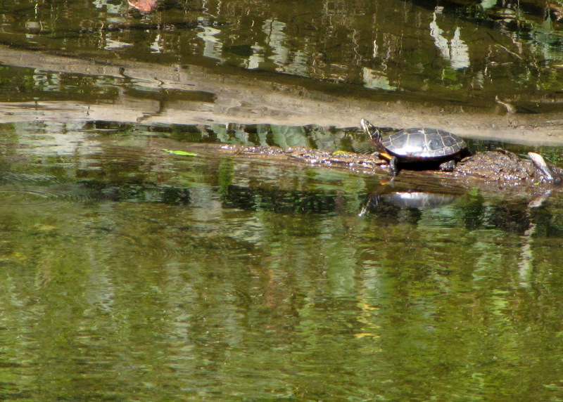 Turtle in Paulinskill River |
 Paulinskill River |
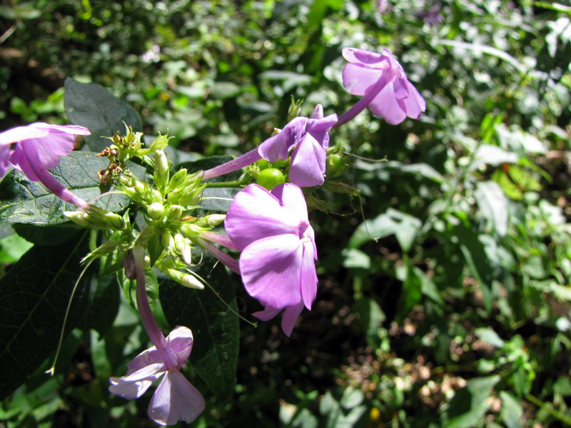 Wild flowers on trail |
 Barn |
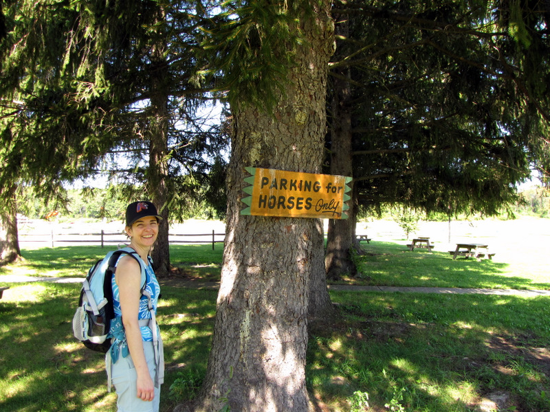
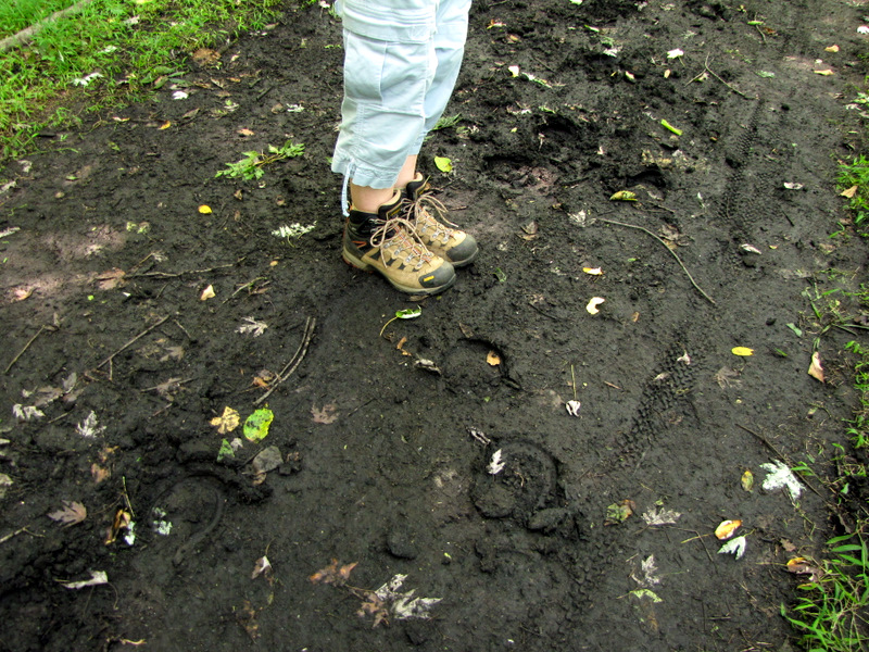 Horse tracks |

|
|
Photographs and content copyright © Dan Balogh Web design by Dan Balogh |