 |
|
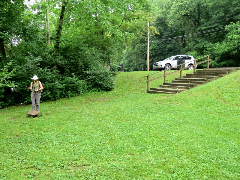
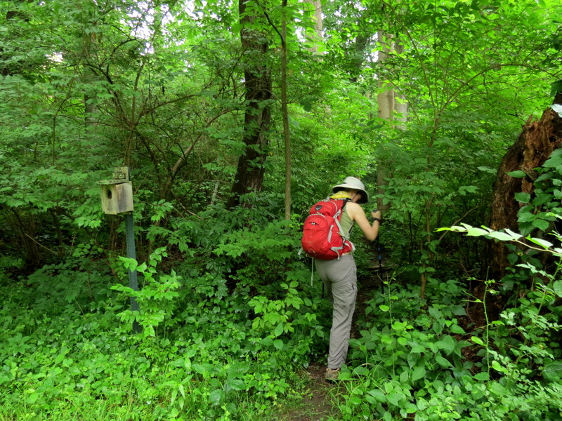
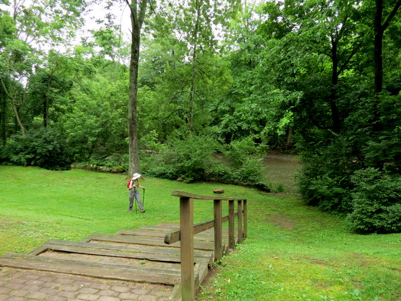
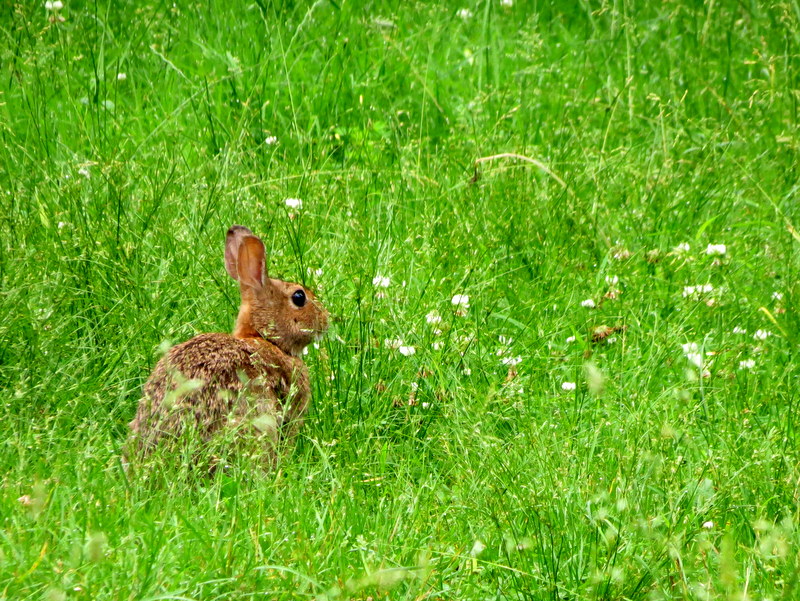
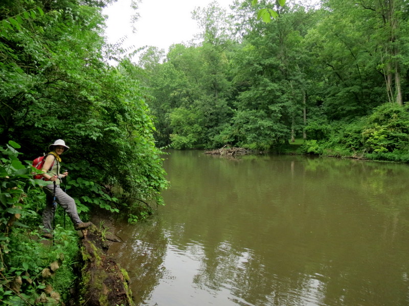
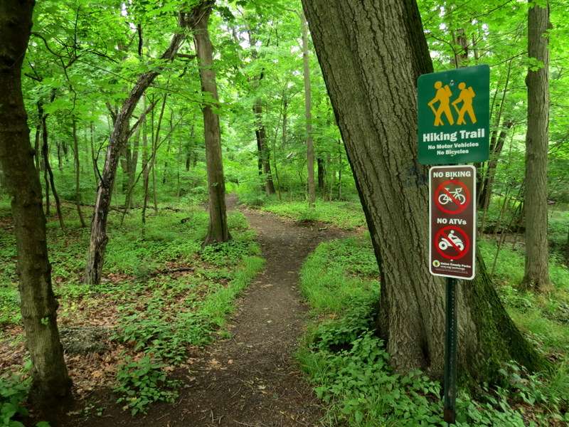
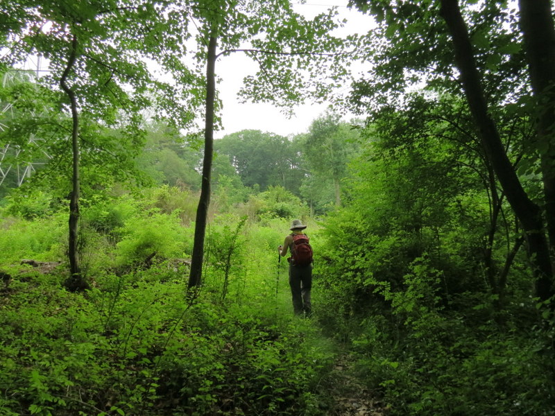
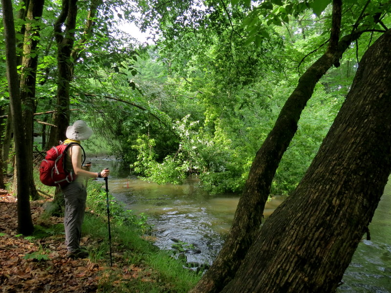
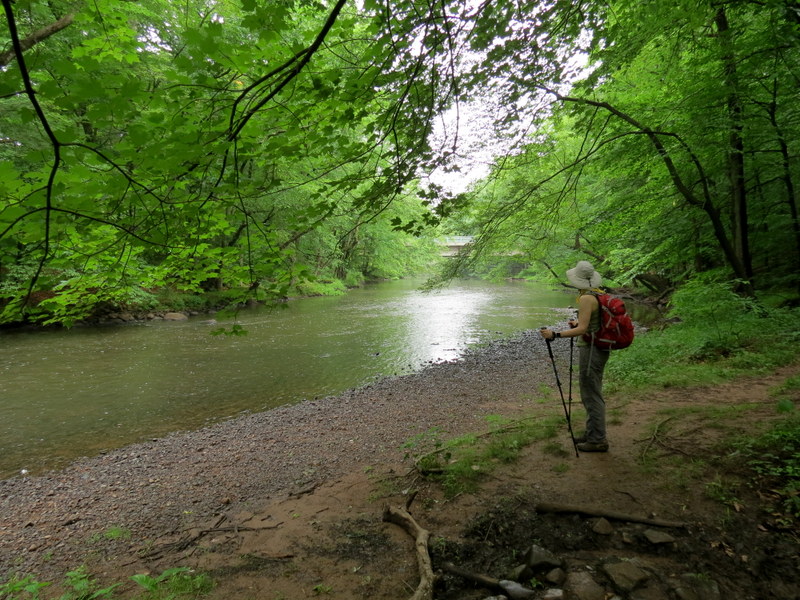
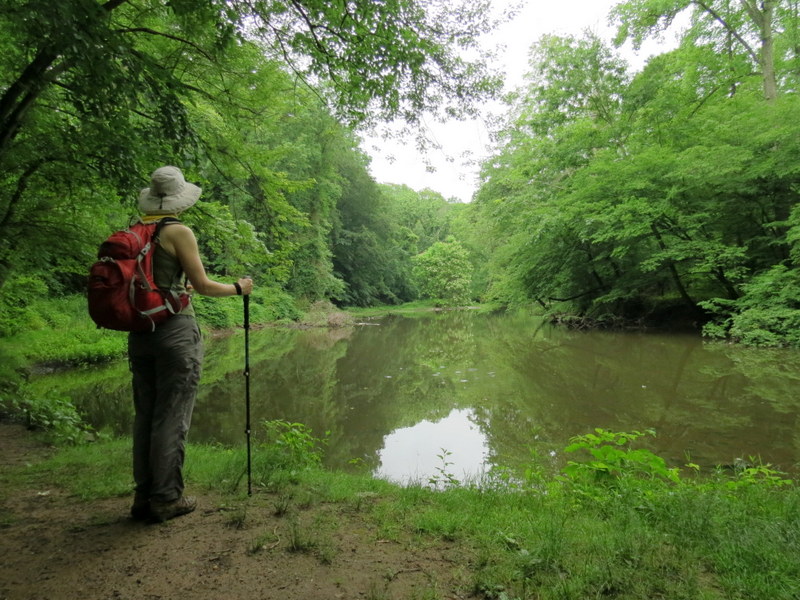
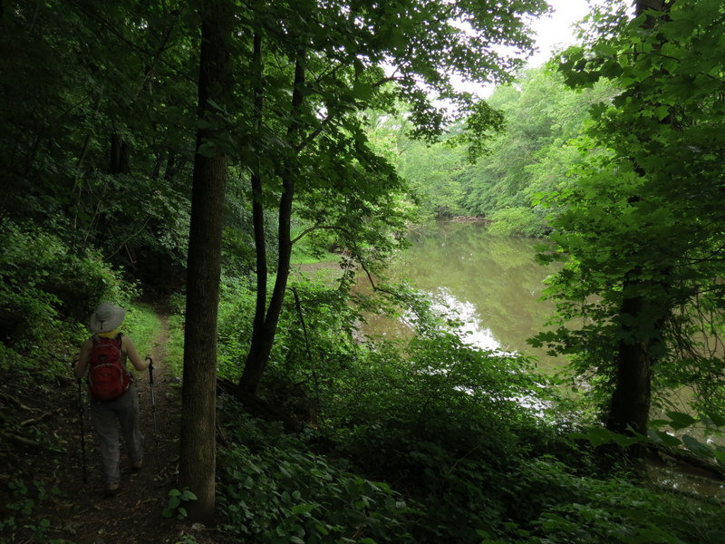
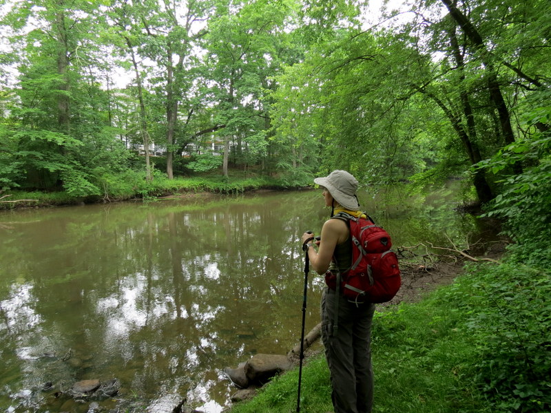
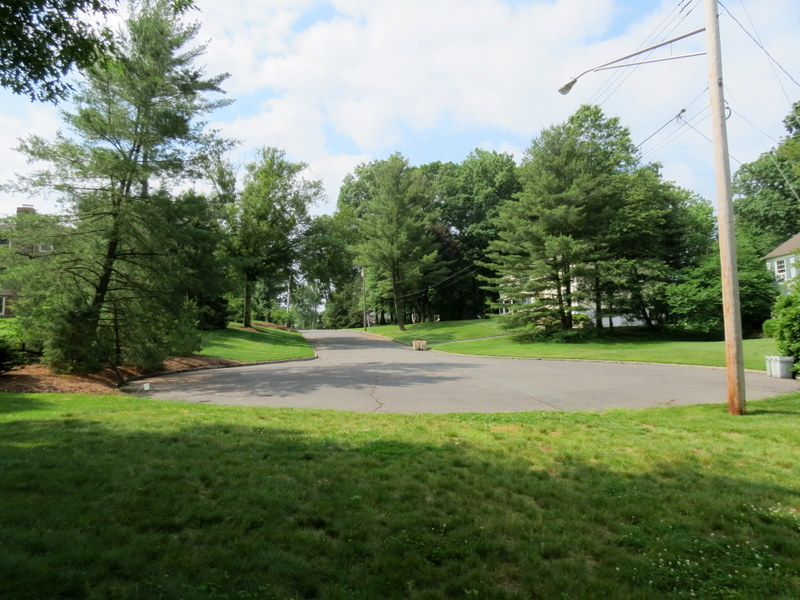
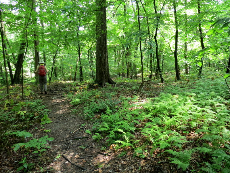
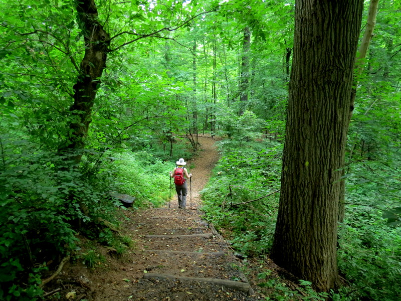
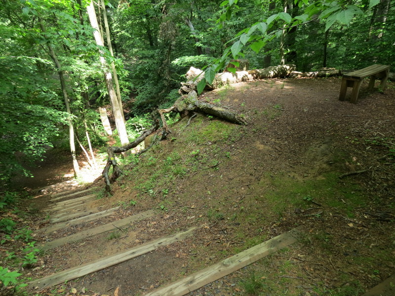
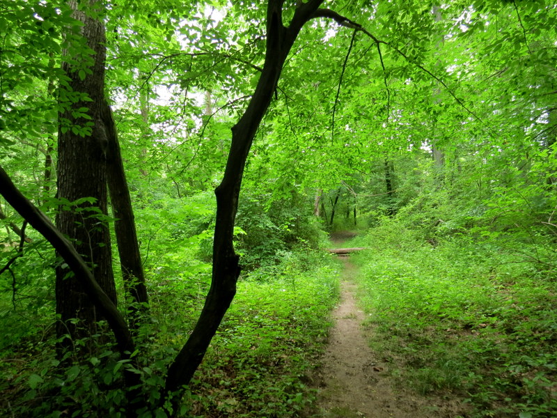
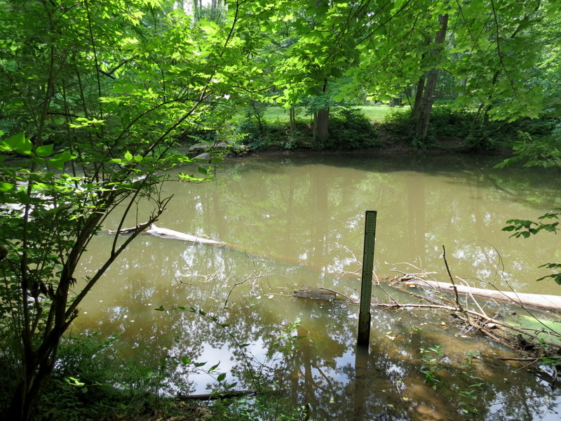
Today we decided to explore trails along the Passaic River. We parked at Stanley Park in Chatham on River Road just east of Stanley Avenue and using
this map
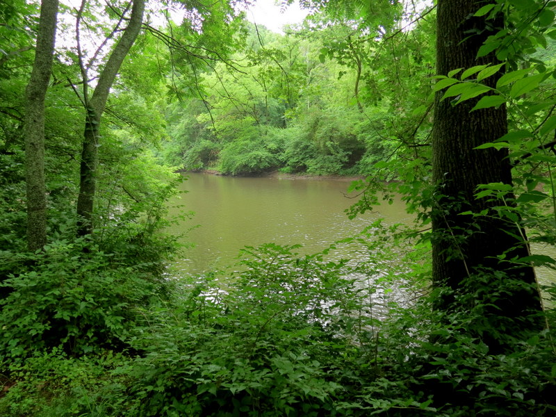
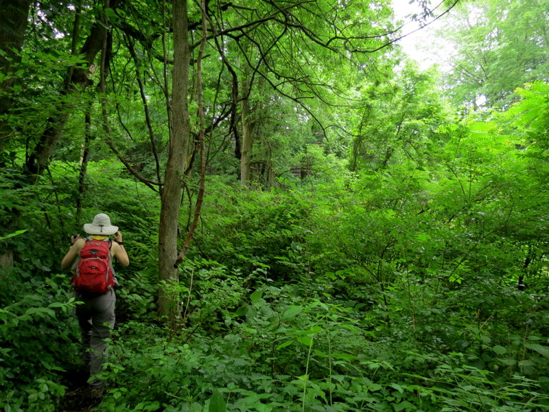
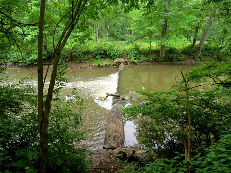
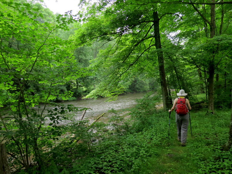
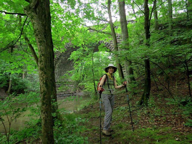
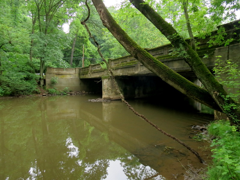
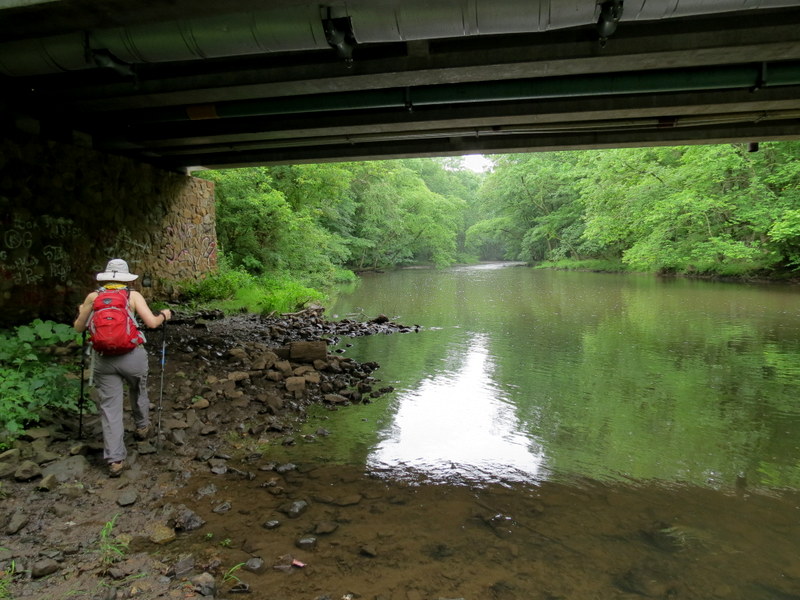
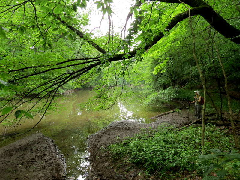
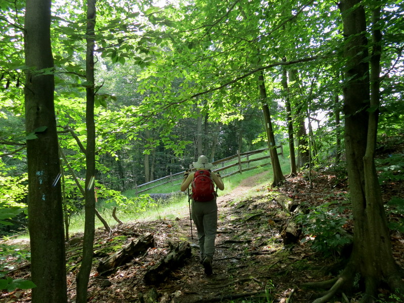
first, we explored the northern bank in the park. The map shows a trail going all the way to River Road east of the parking area, but there was no trail beyond the railroad overpass, which
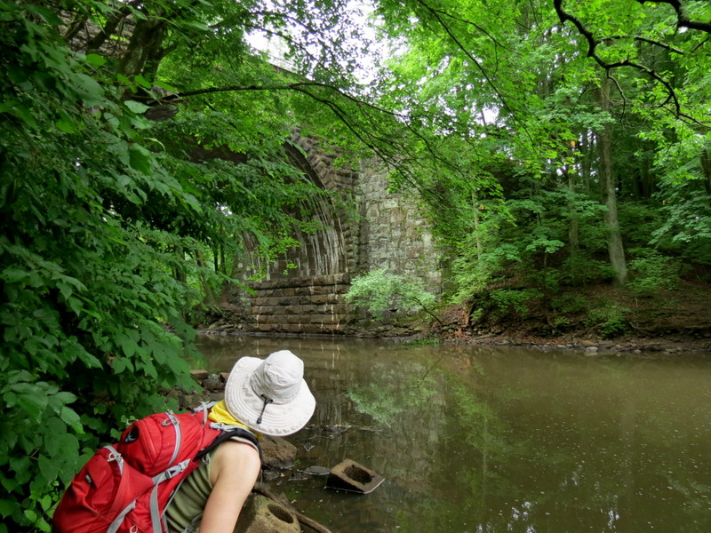
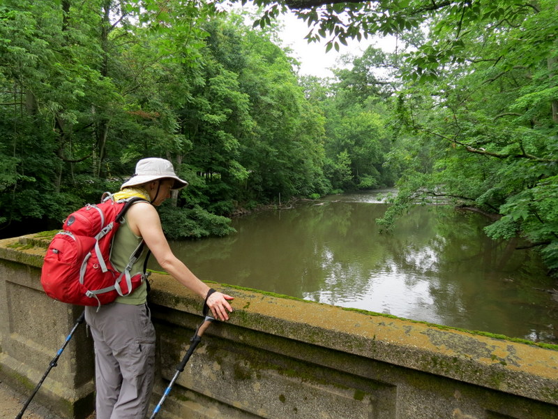
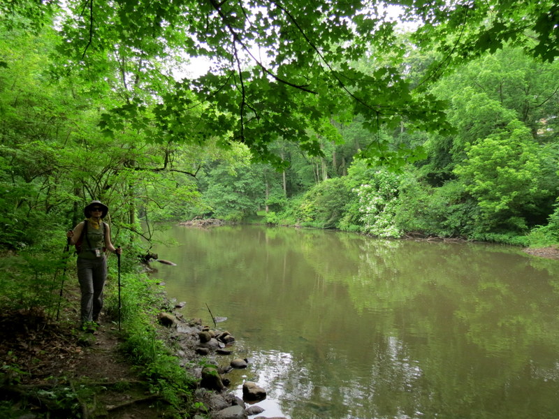
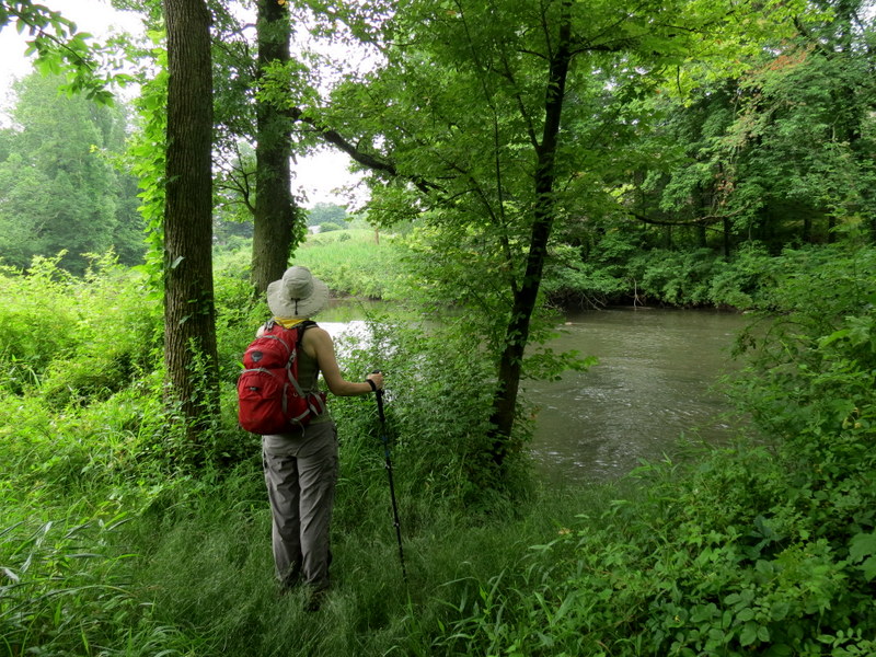
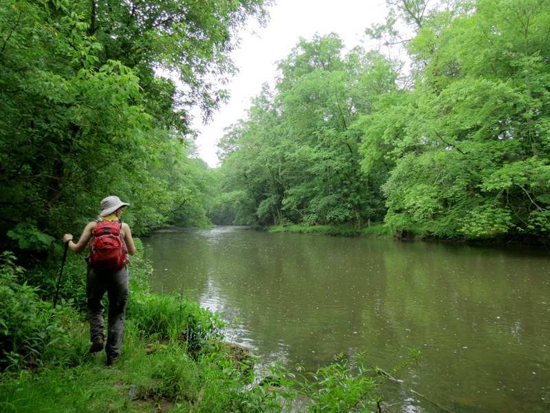
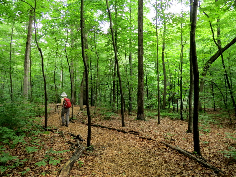
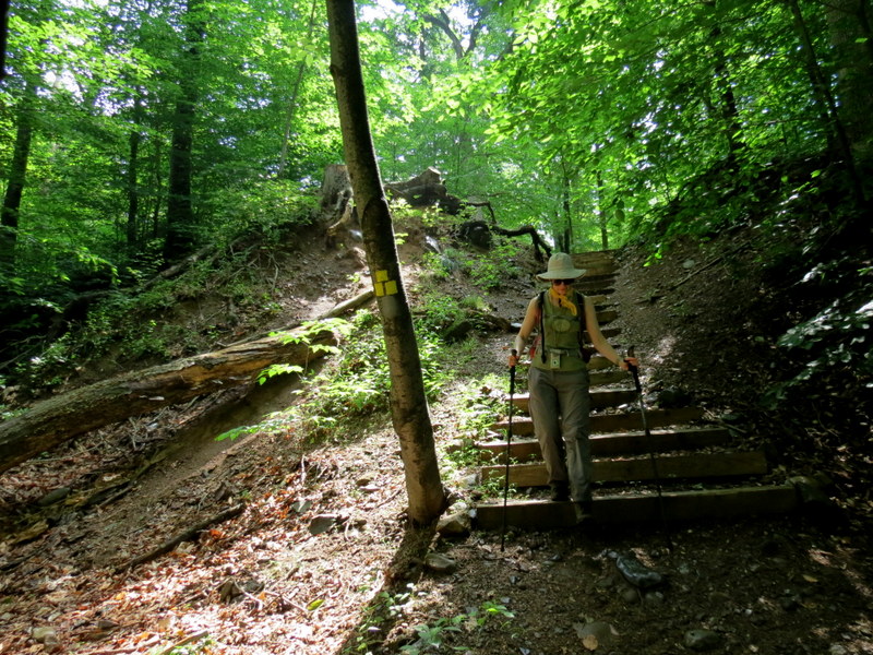
you can see on our track below. After retracing our steps and crossing the river on Stanley Avenue we next explored the southern bank heading east and now following
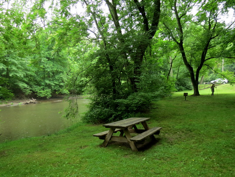
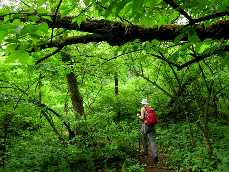
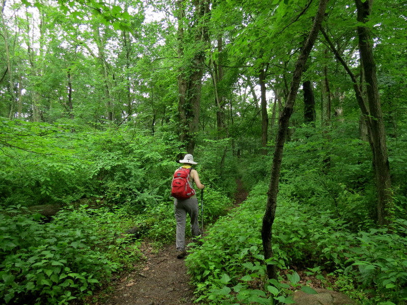
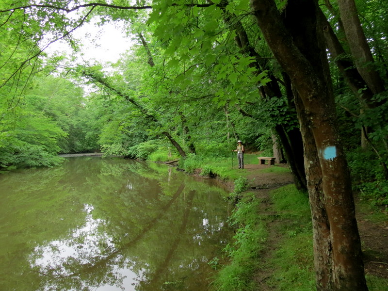
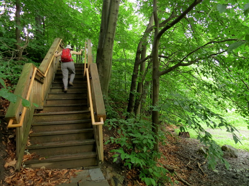
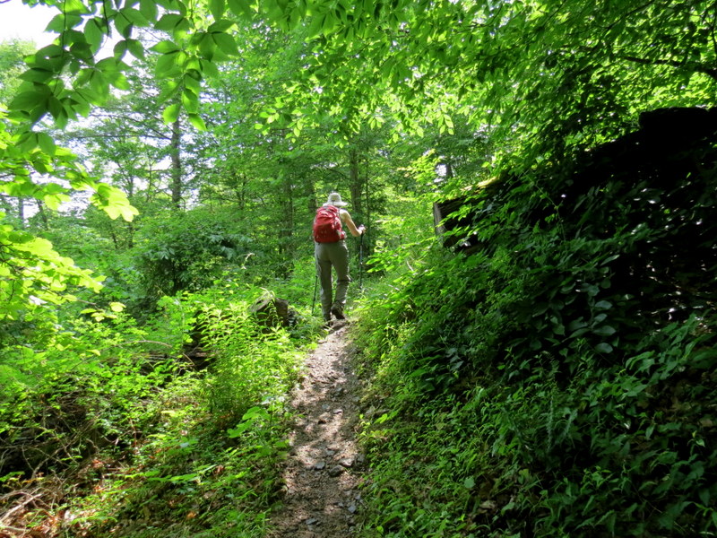
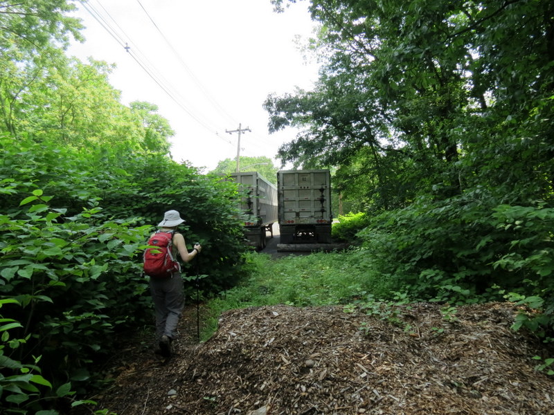
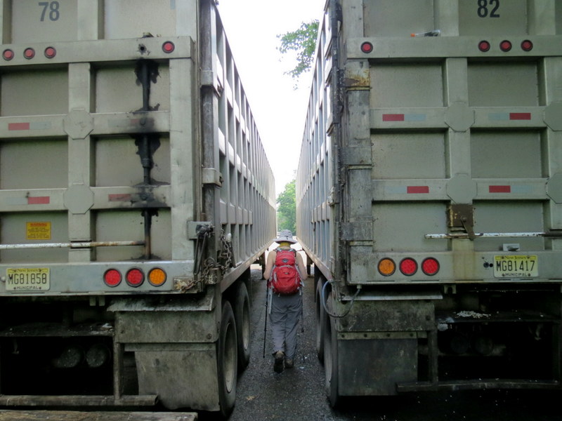
this map. As indicated on the map, the trail went no further than the railroad overpass. Backtracking
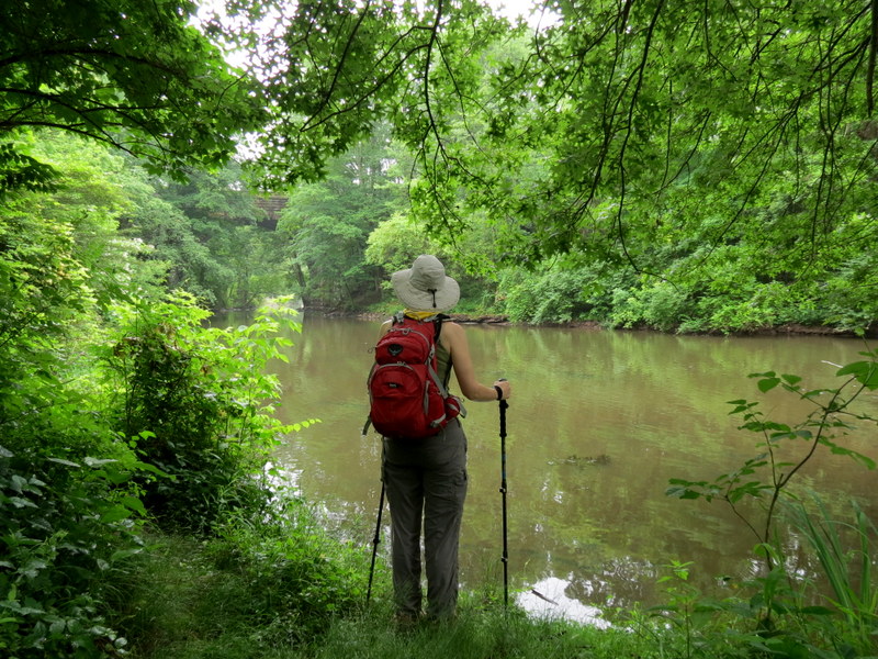
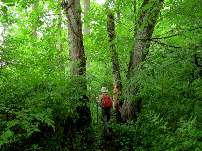
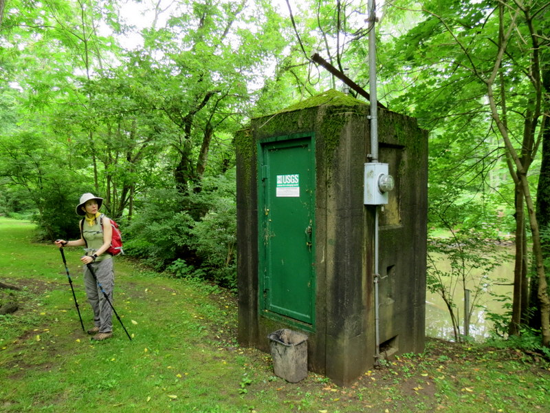
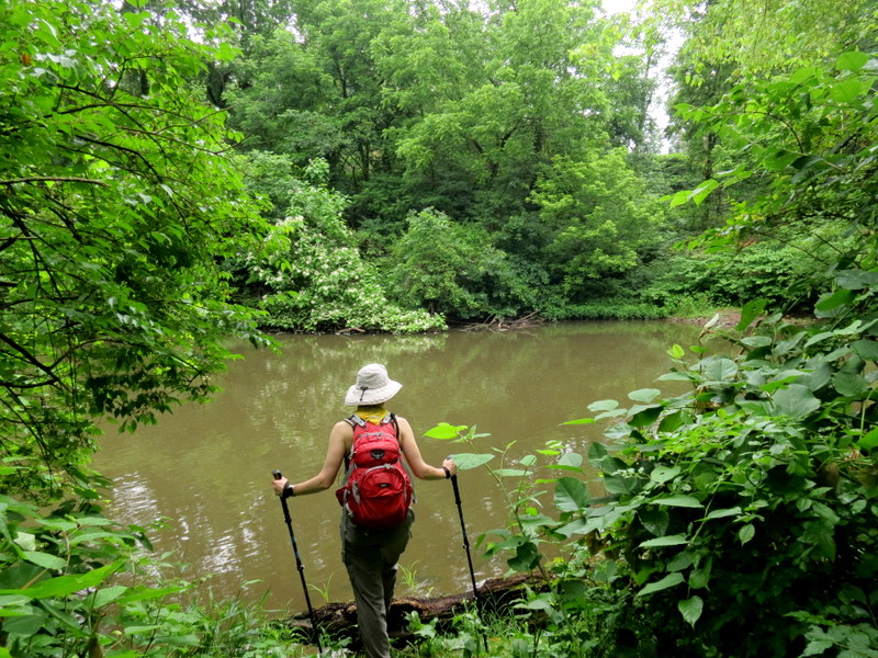
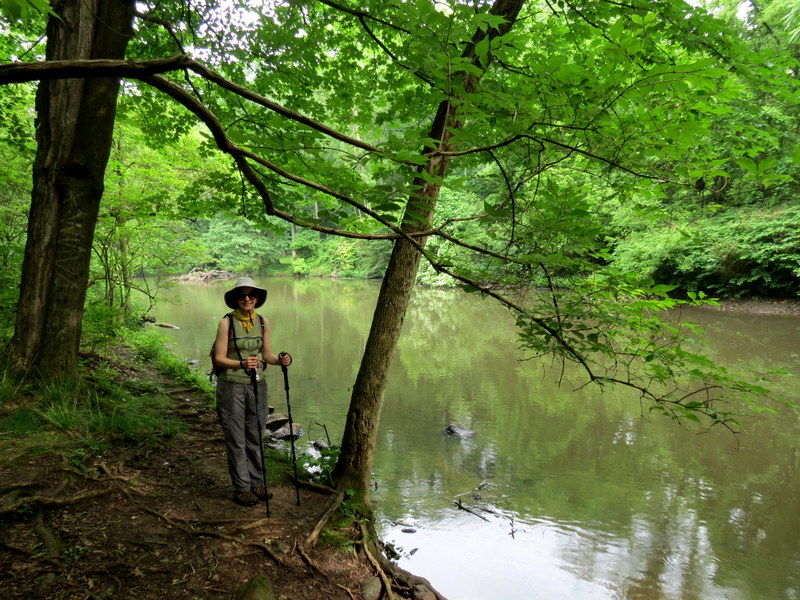
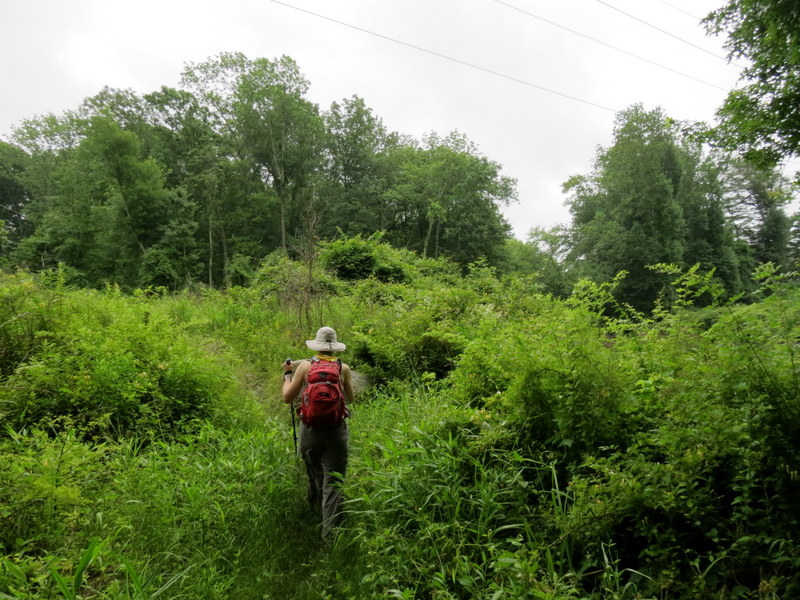
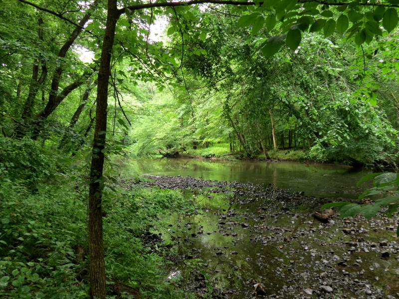
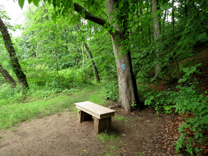
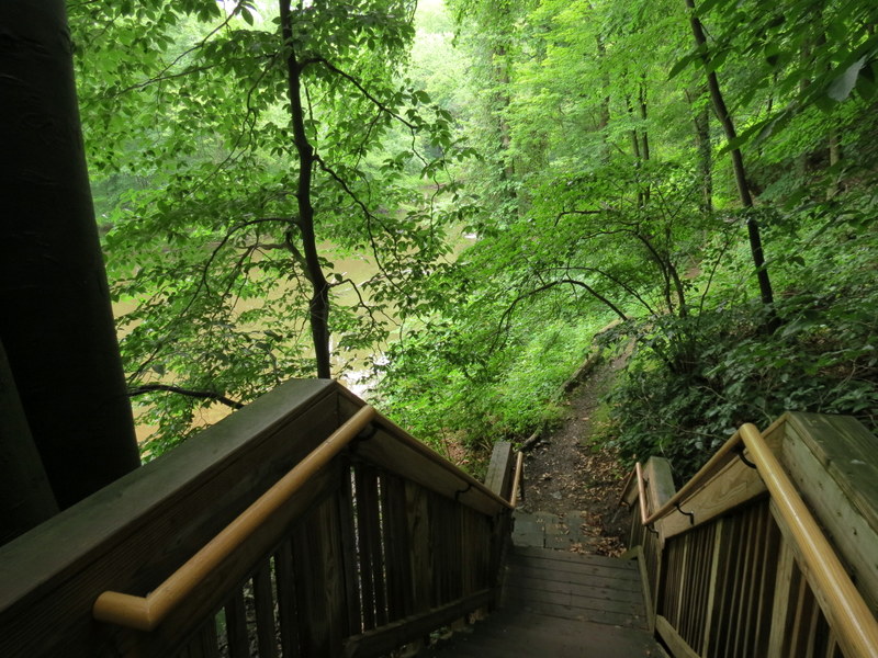
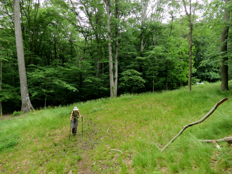
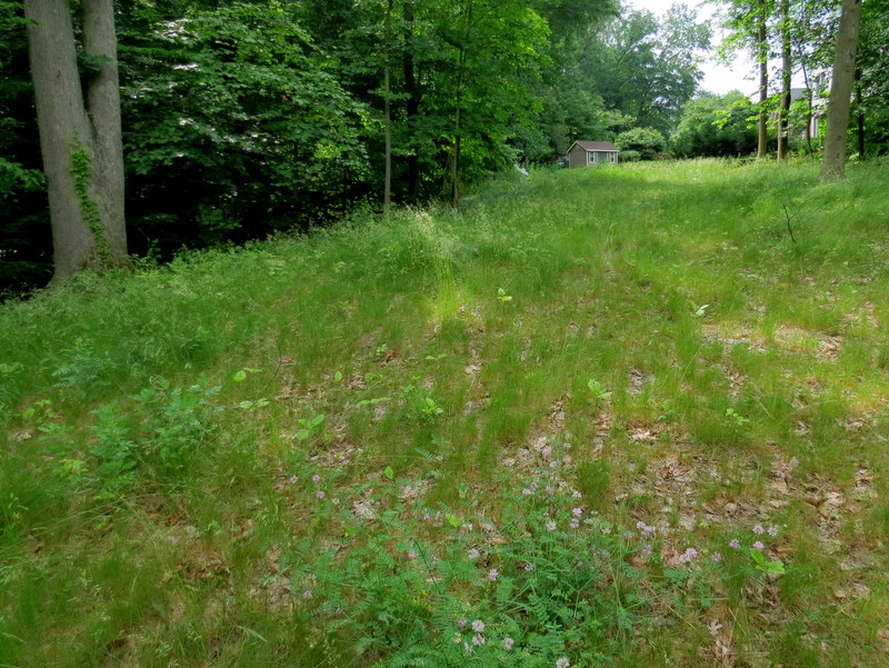
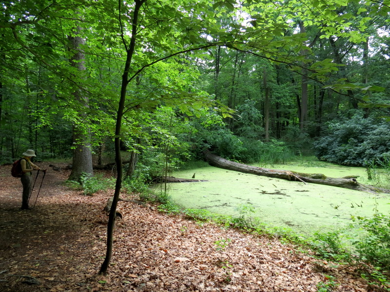
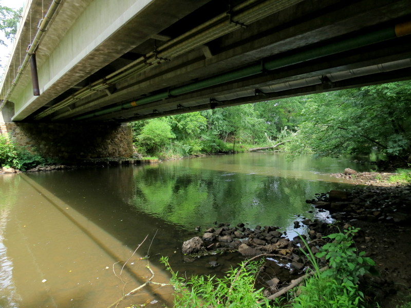
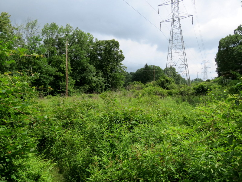
we crossed Stanley Avenue and followed the river south until we reached the cul-de-sac at the northern end of Pine Way. This is beyond what is covered on the second map, so I don't know how far the trail
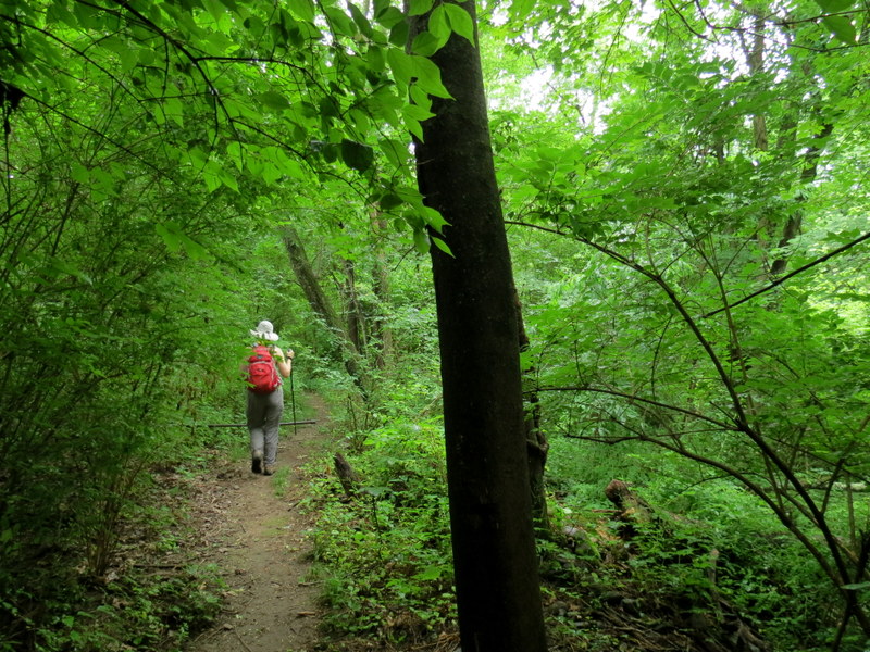
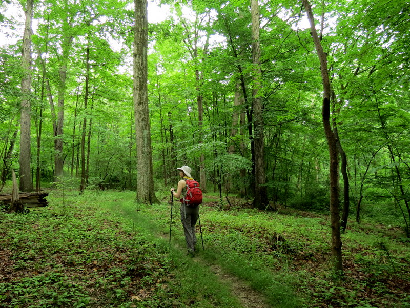
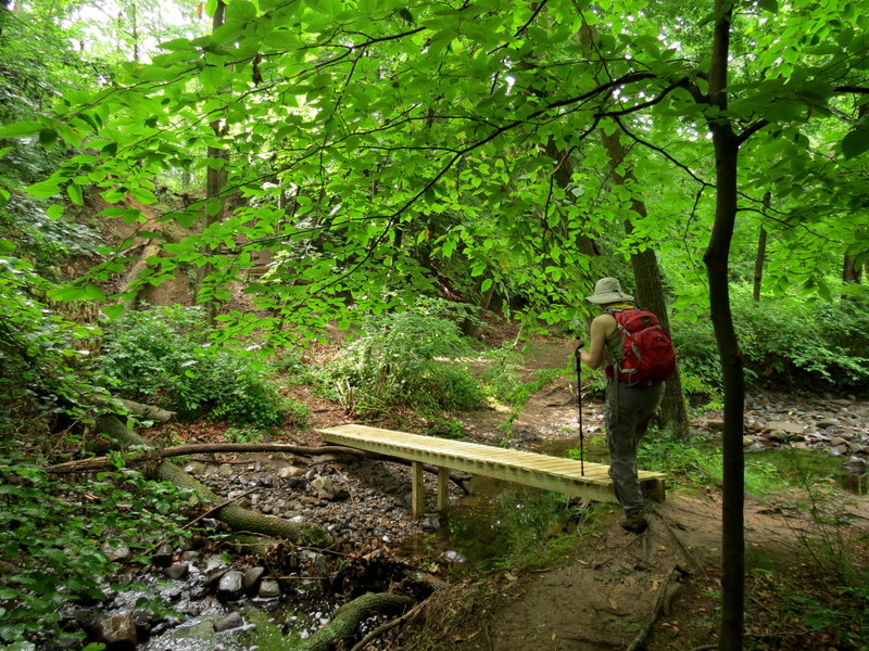
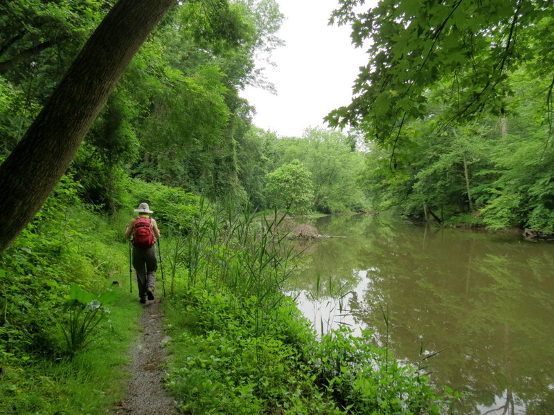
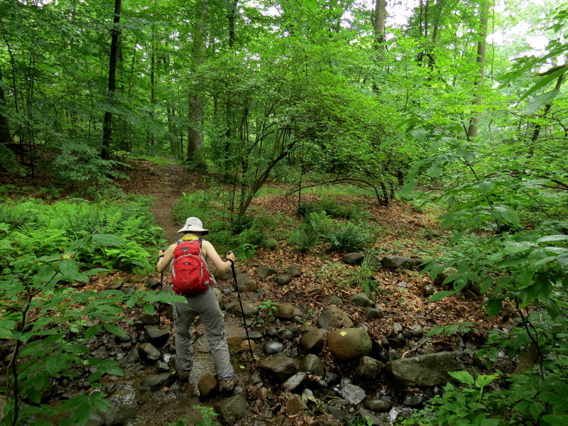
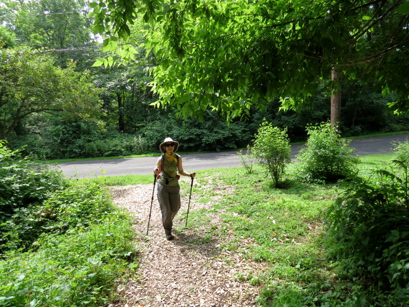
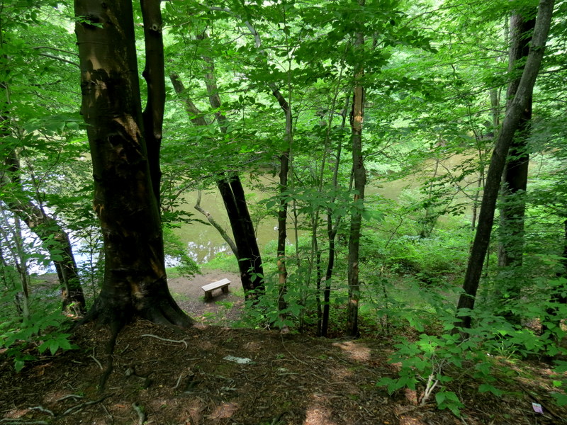
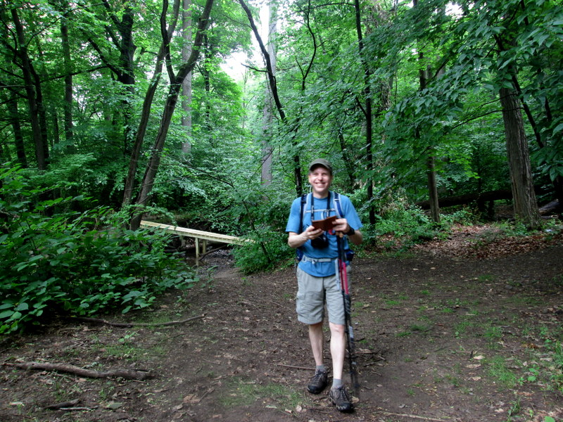
continues (an opportunity for future exploring). We backtracked to a yellow trail, then walked a bit along New Providence Avenue (closed today to traffic), re-entered the woods on yellow
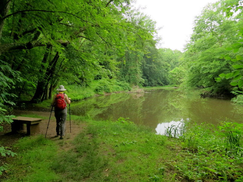
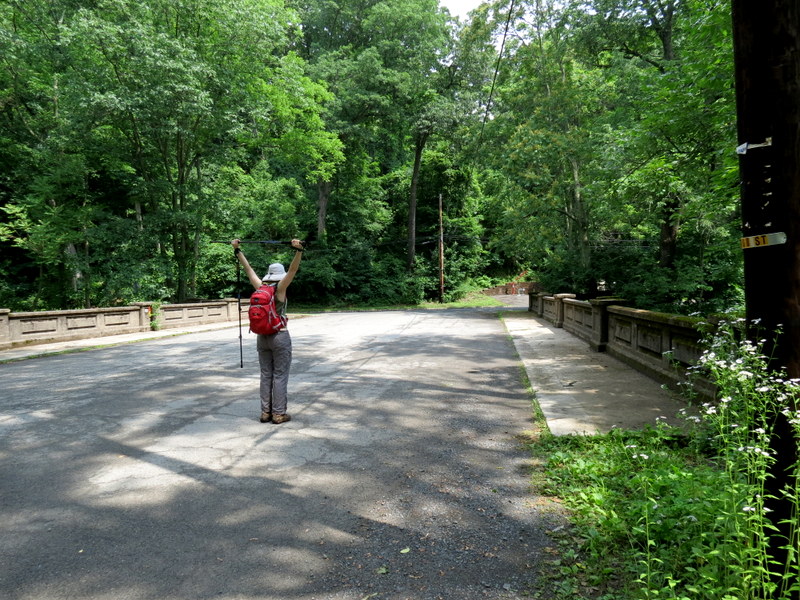
and then took that back to the river. There is a small network of trails east of the river (and at a higher elevation). You can see some of them on the second map. We only explored a few
before heading back to the car.
You can see our track here. Total distance hiked today was about 3 miles in about 2.5 hours.
|
 |
 |
 |
 |
 |
 |
 |
 |
 |
 |
 |
 |
 |
 |
 |
 |
 |
 |
 |
 |
 |
 |
 |
 |
 |
 |
 |
 |
 |
 |
 |
 |
 |
 |
 |
 |
 |
 |
 |
 |
 |
 |
 |
 |
 |
 |
 |
 |
 |
 |
 |
 |
 |
 |
 |
 |
 |
 |
 |
 |
 |
 |
 |
 |
 |
 |
 |
 |
 |
 |
 |
 |
 |
 |
 |
 |
 |
 |
 |
 |

|
|
Photographs and content copyright © Dan Balogh Web design by Dan Balogh |