 |
|
This is the third weekend in a row that we hiked this beautiful state park. And why not? An examination of the map ensures me that I can get another two hikes out of
this area as well!
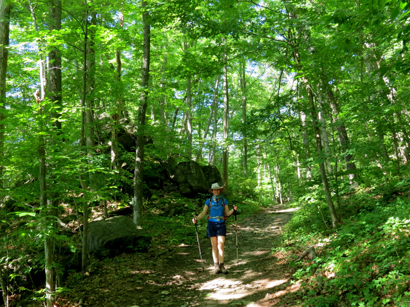
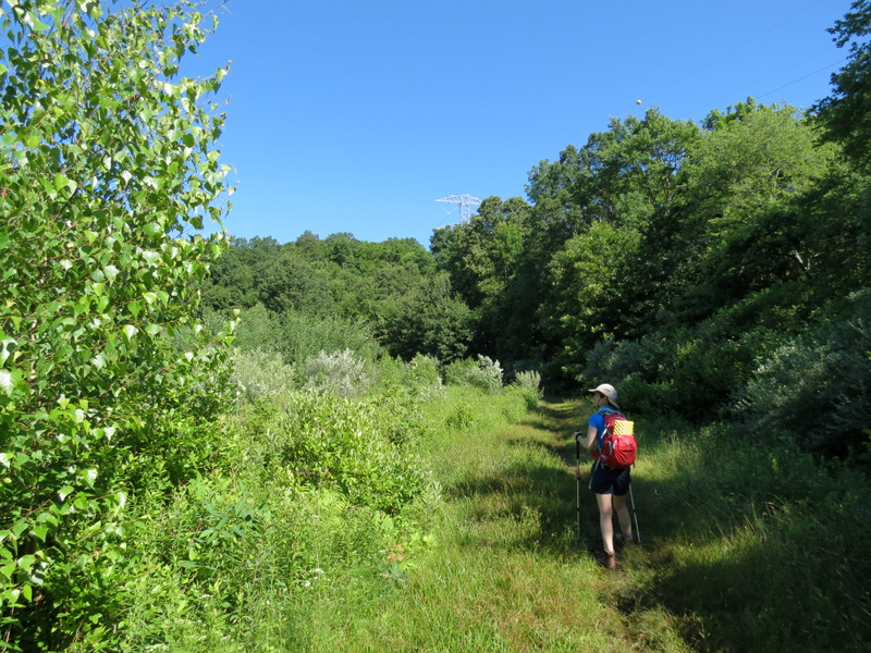
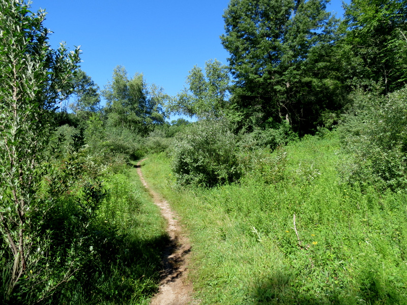
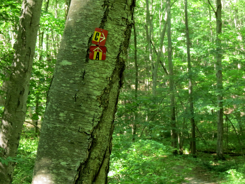
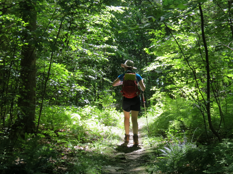
Today, following this map, and with the park very quiet after the bicycle race of last week, we hiked nearly every trail in the northern part of the park: the White, including the spur which crosses the powerline cut, and the many segments of the trail labeled "Bw" on the map. This trail contains white blazes on a black background. Total distance hiked today was 4 miles in just under 2.5 hours.
|
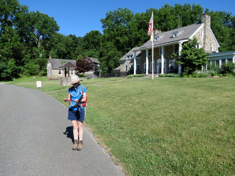 Visitor's Center |
 Heading to... |
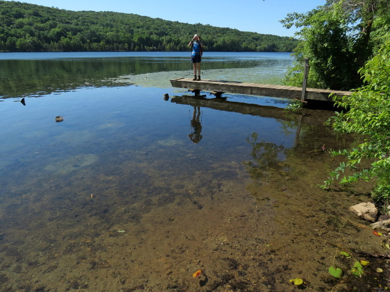 ...dock at... |
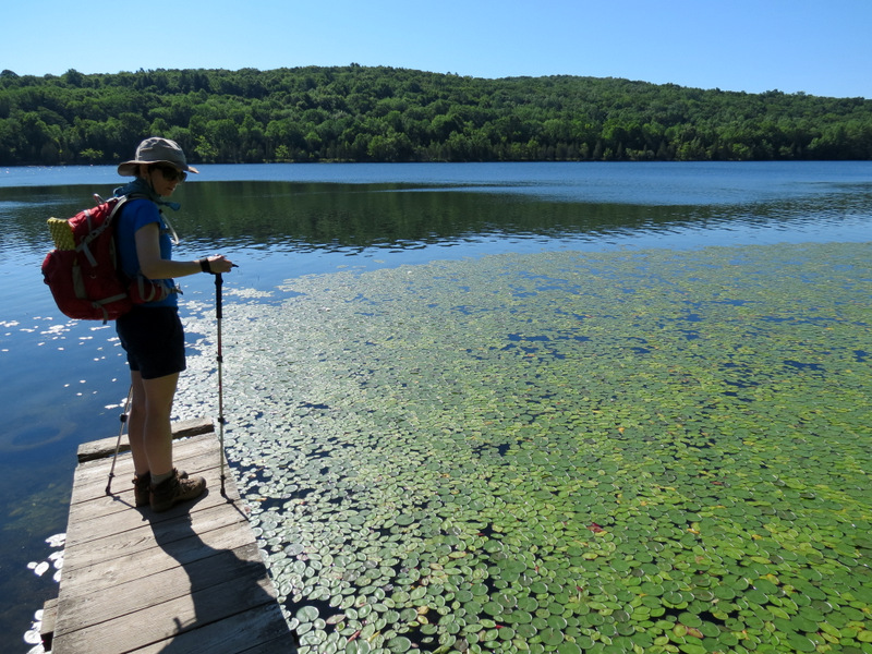 ...Lake Aeroflex |
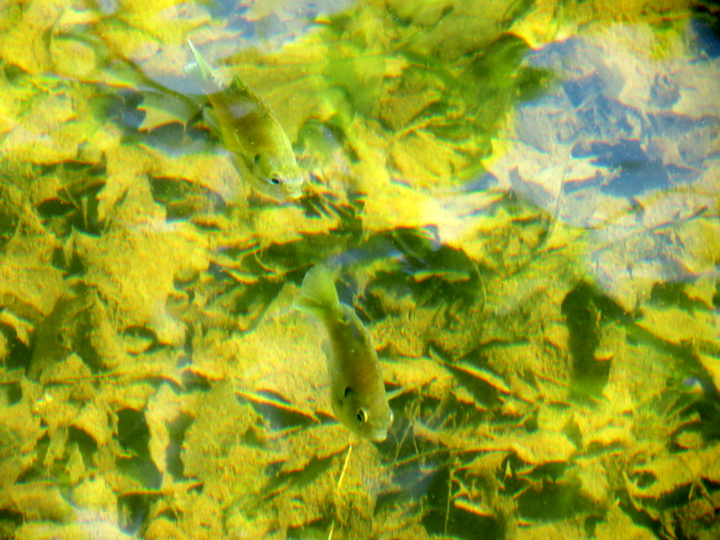 Fish in the lake |
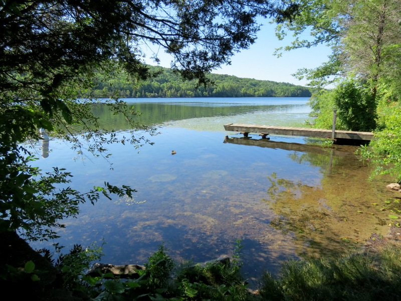 Dock |
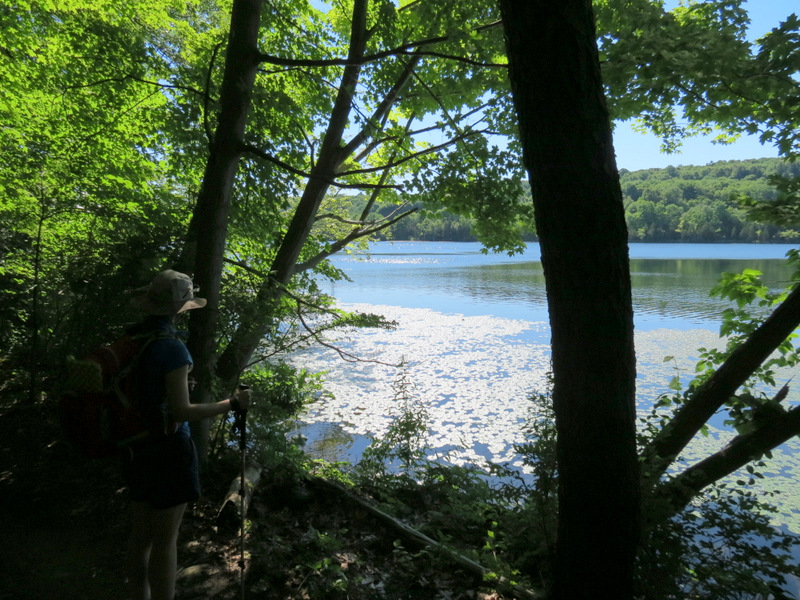
 White along western bank |
 Lake Aeroflex |
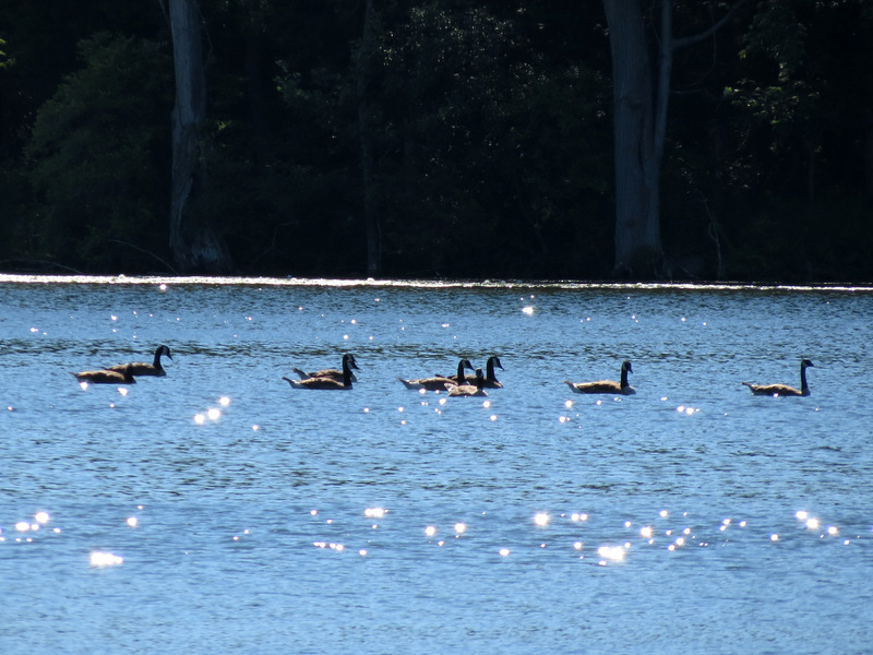 Canada Geese |
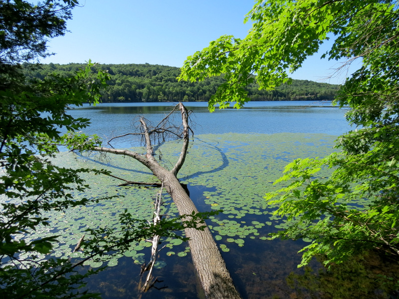 Blow-down in lake |
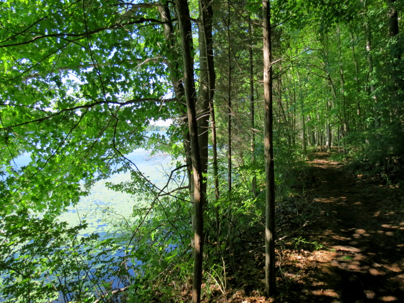 White parallels the bank |
 |
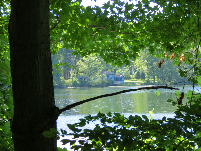 House across lake |
 White crosses... |
 ...through... |
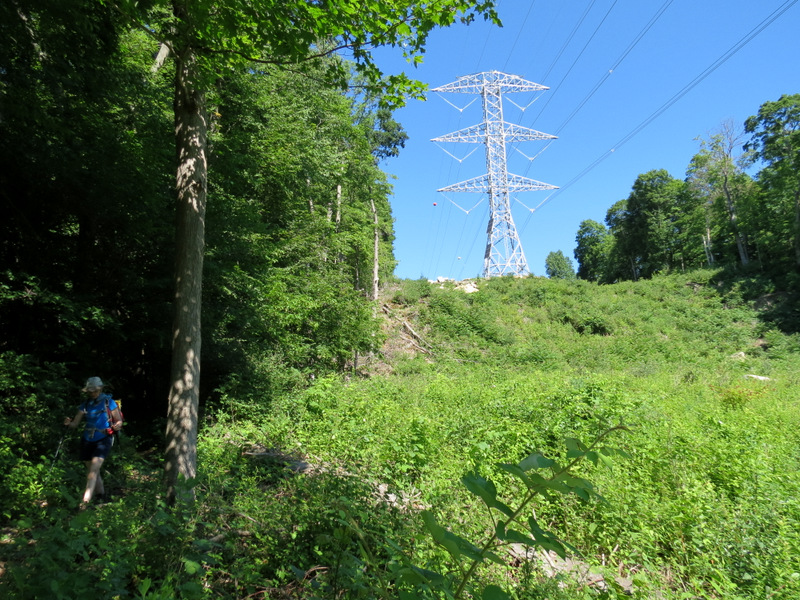 ...powerline cut |
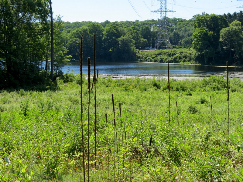
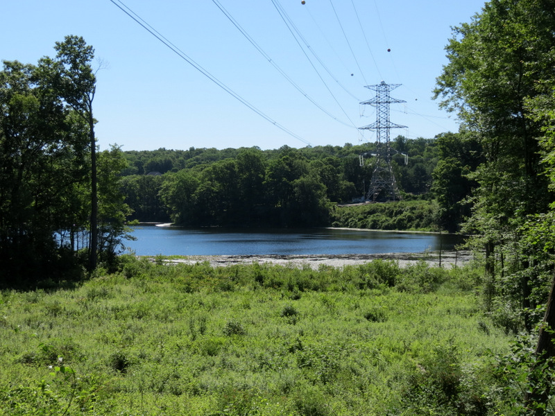 Lake at powerline cut |
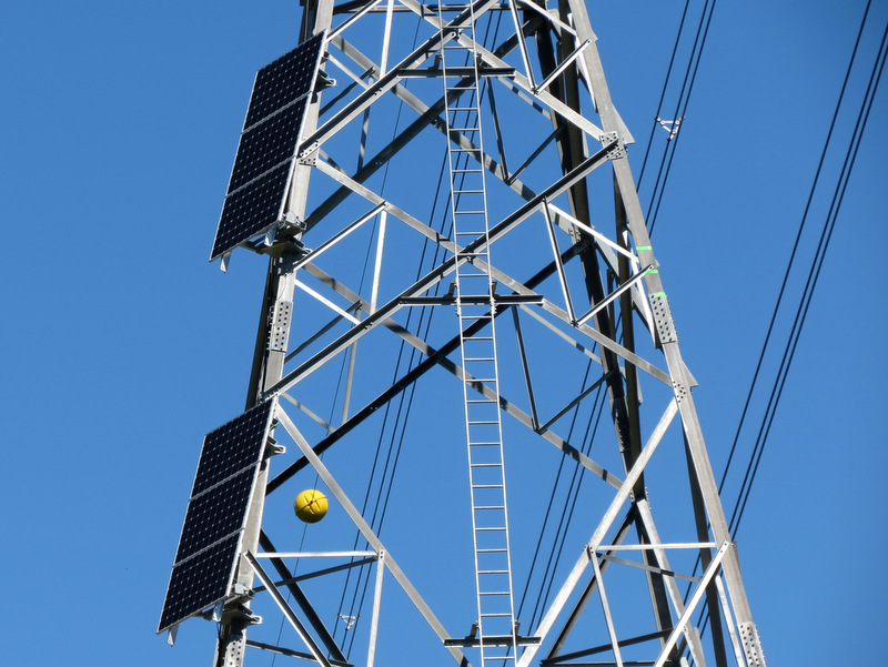 Solar panels |
 |
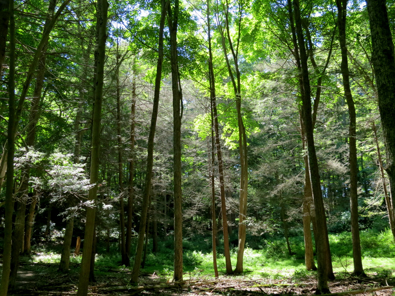
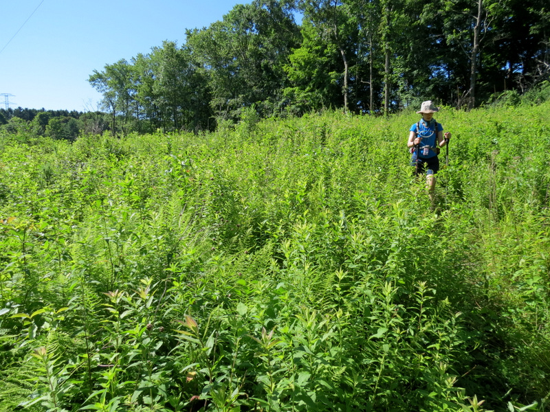 Engulfed in green |
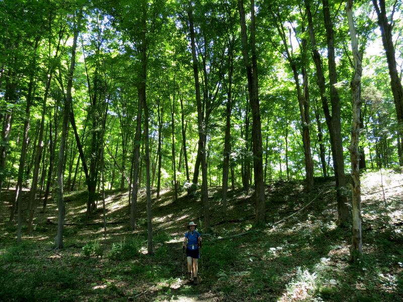 Woods north of cut |
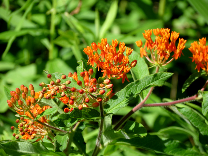 Butterfly milkweed |
 |
 |
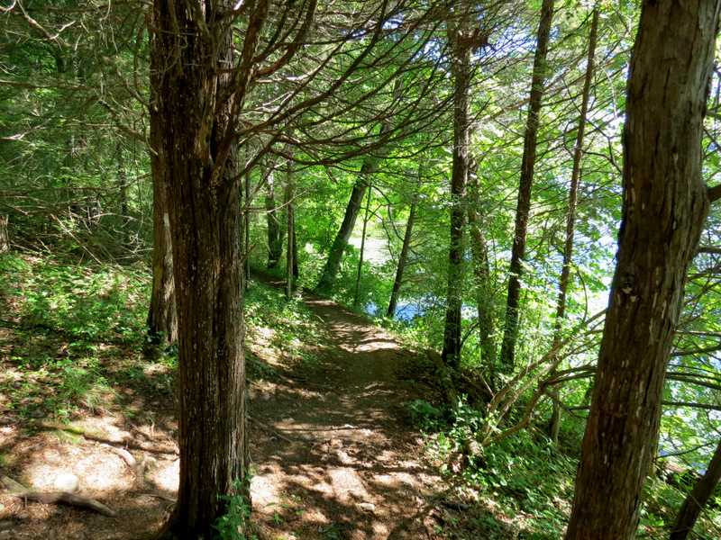
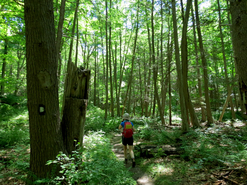
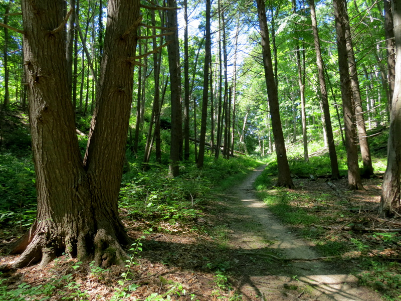
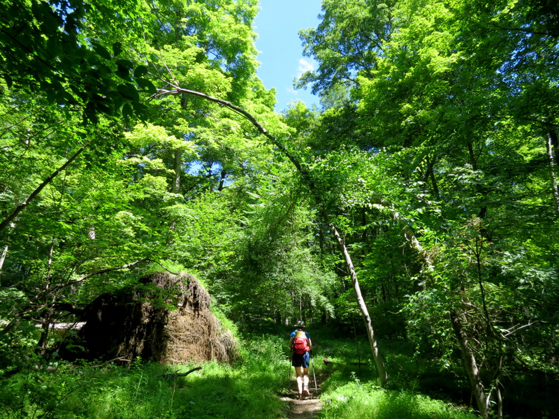
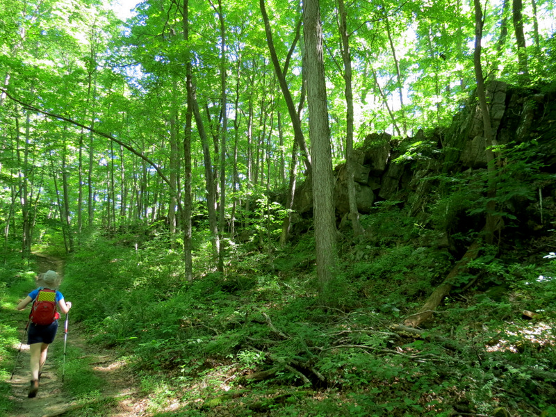 White... |
 ...continues... |
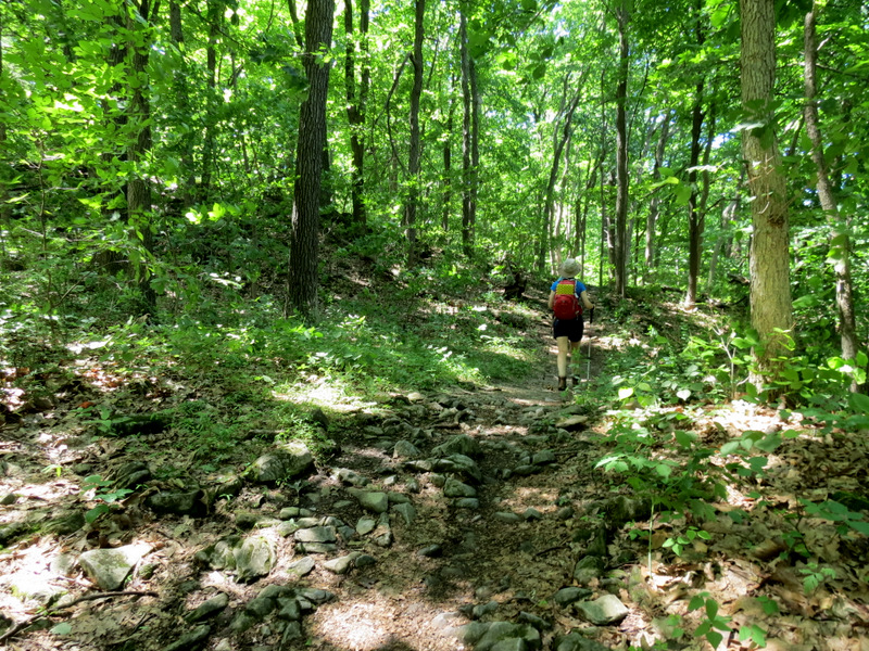
 ...through dense... |
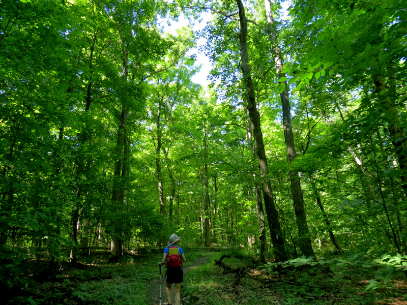 ...forest |
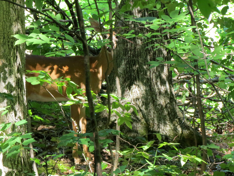 Deer |
 Ferns |
 |
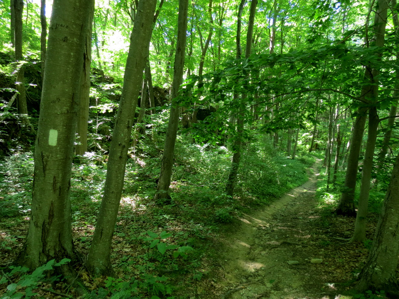
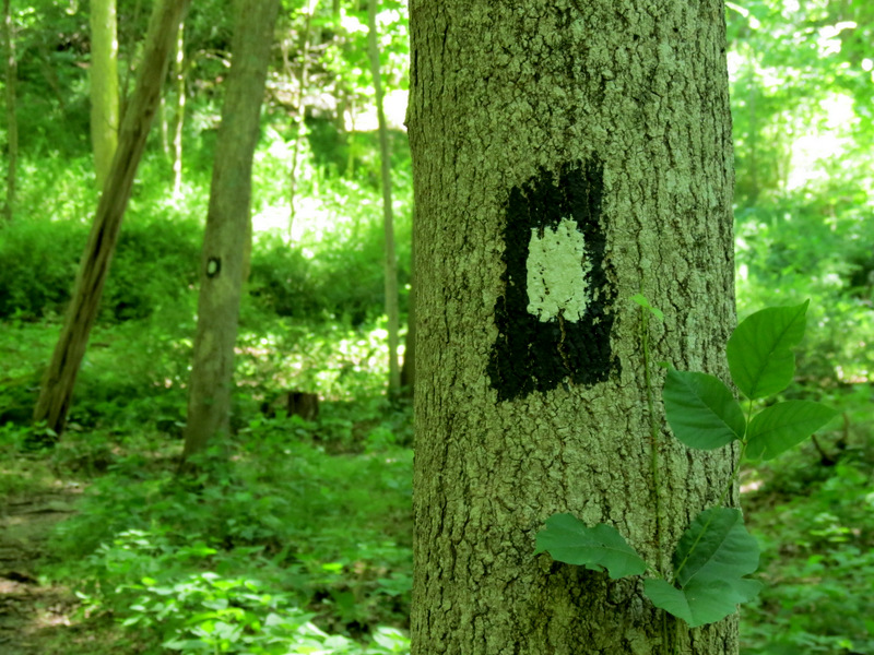 Blazes of Bw trail |
 |
 |
 |
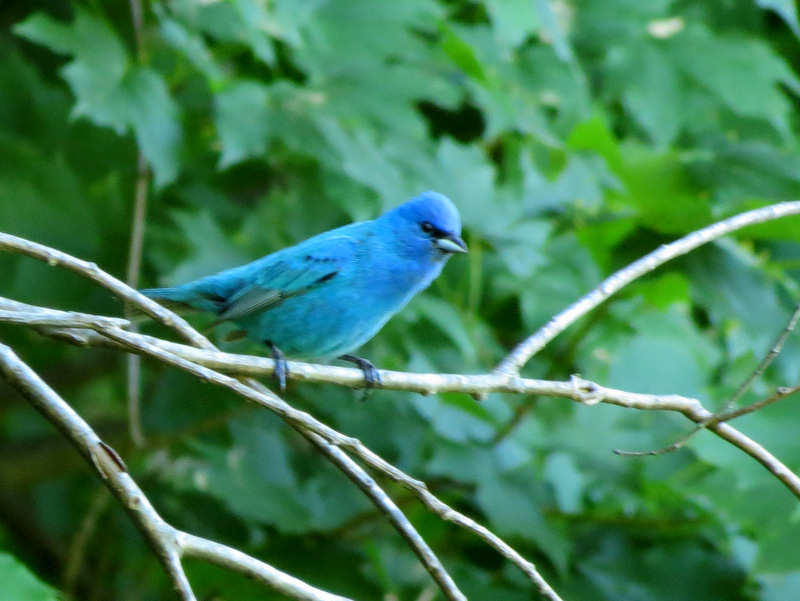 Male Indigo Bunting |
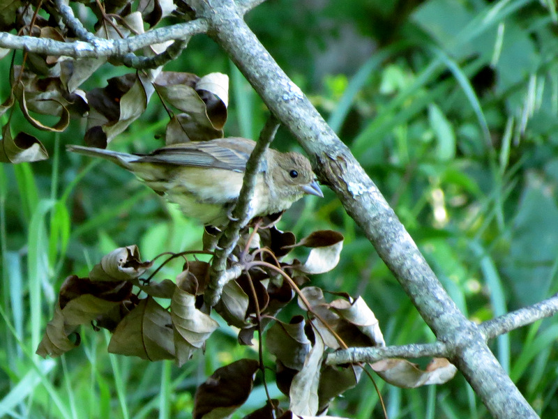 Female Indigo Bunting |
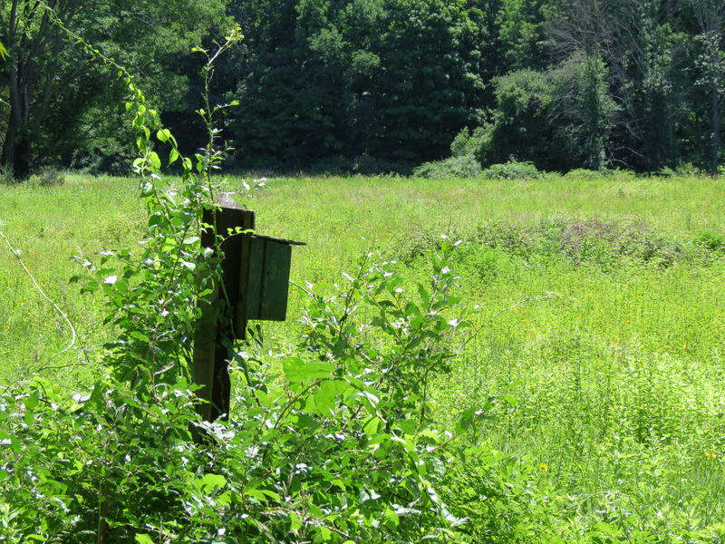
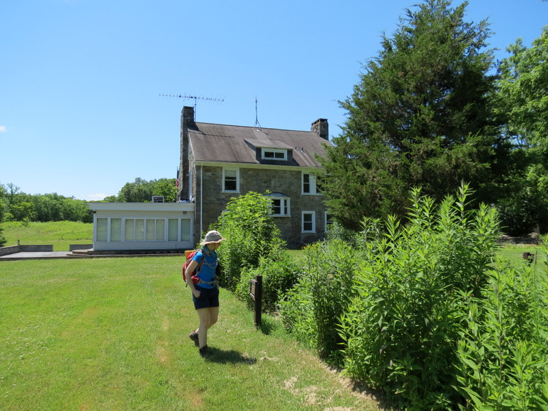
 Meadow behind... |
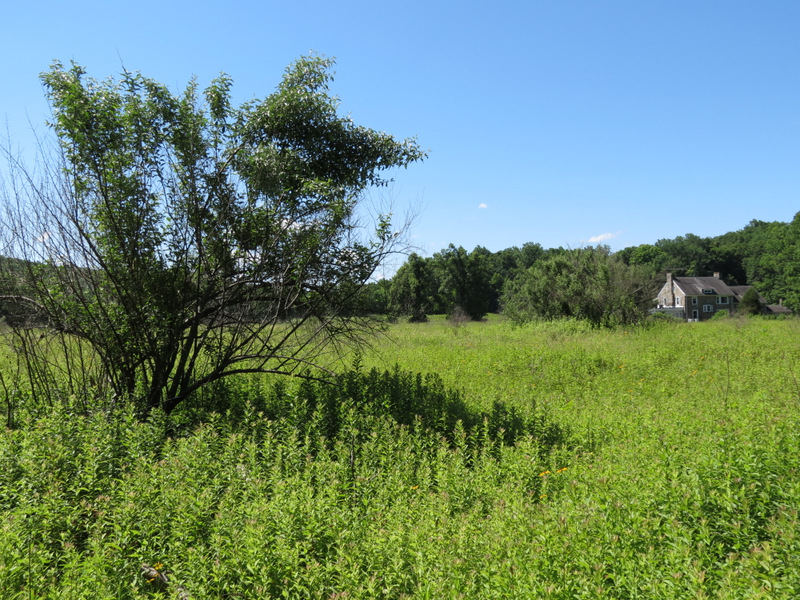 ...Vistor's Center |
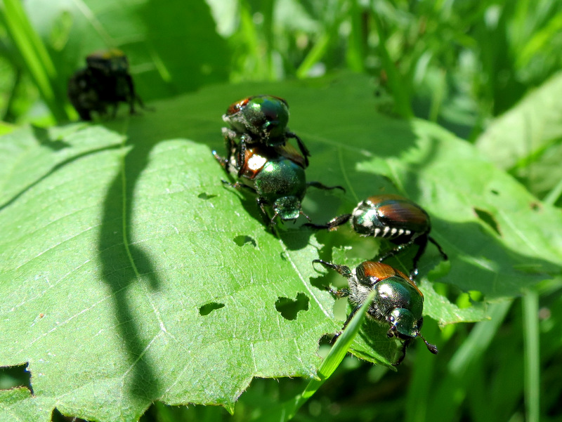 Amorous... |
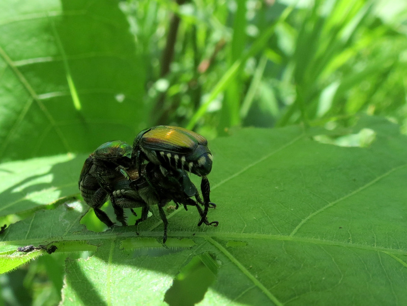 ...Japanese Beetles |
 |
 |
 |
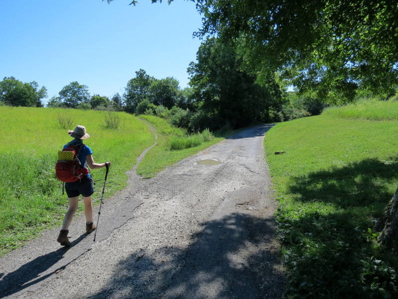
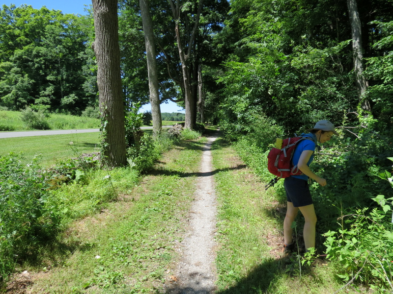
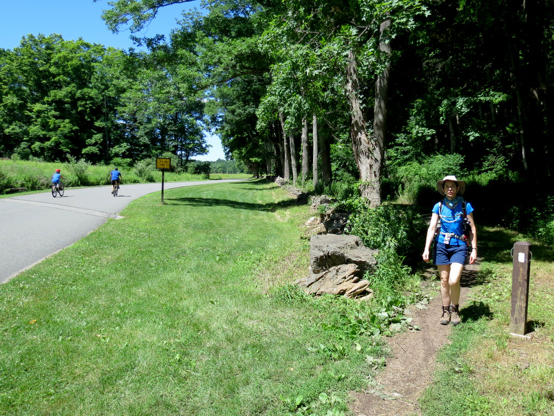
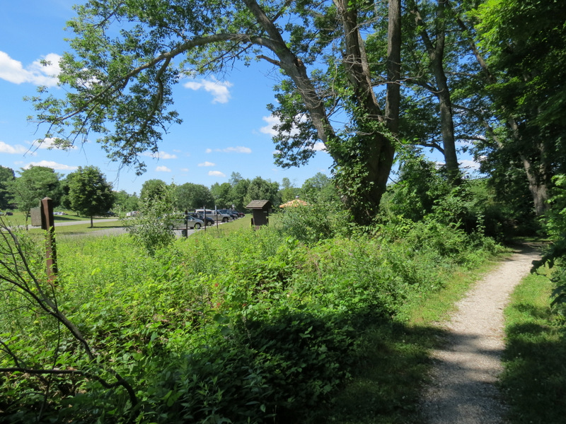 White trail near park entrance |
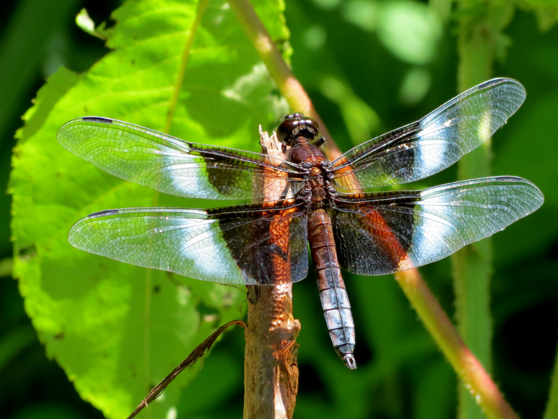 Dragonfly |
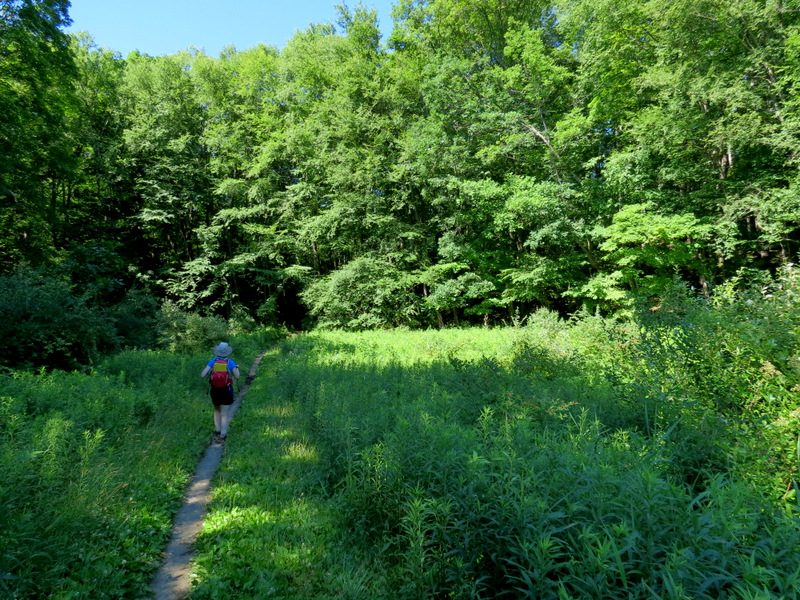
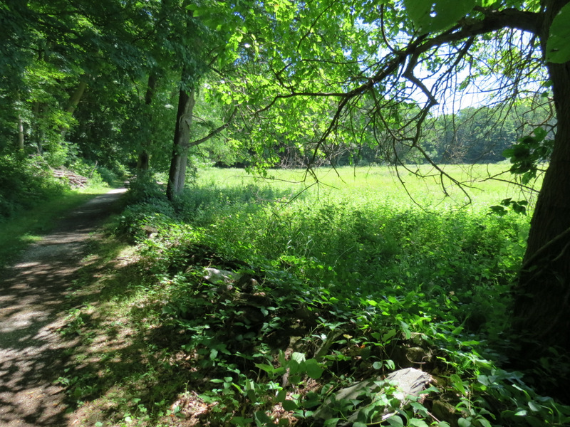 White skirts... |
 ...another field |
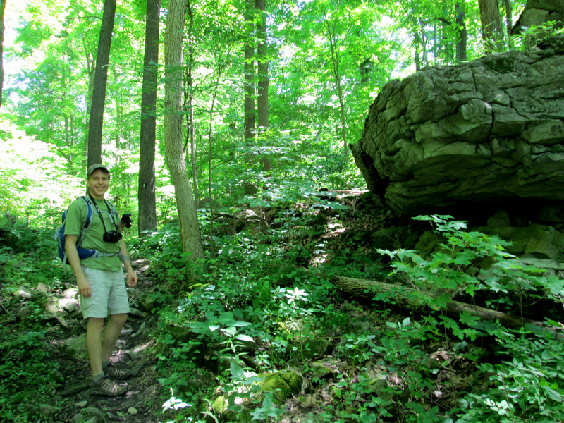 [Photo by Laura] |
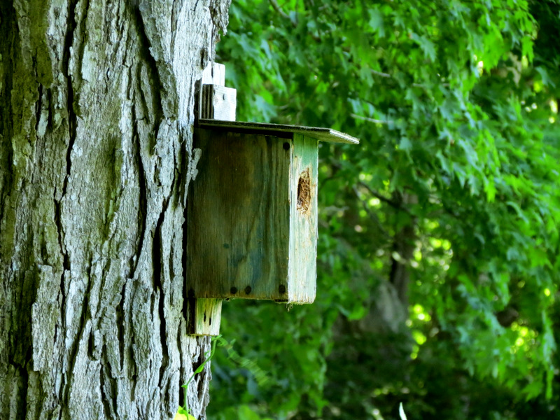 One of several birdhouses |
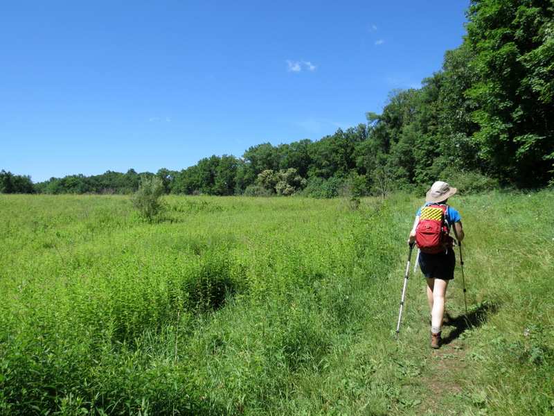
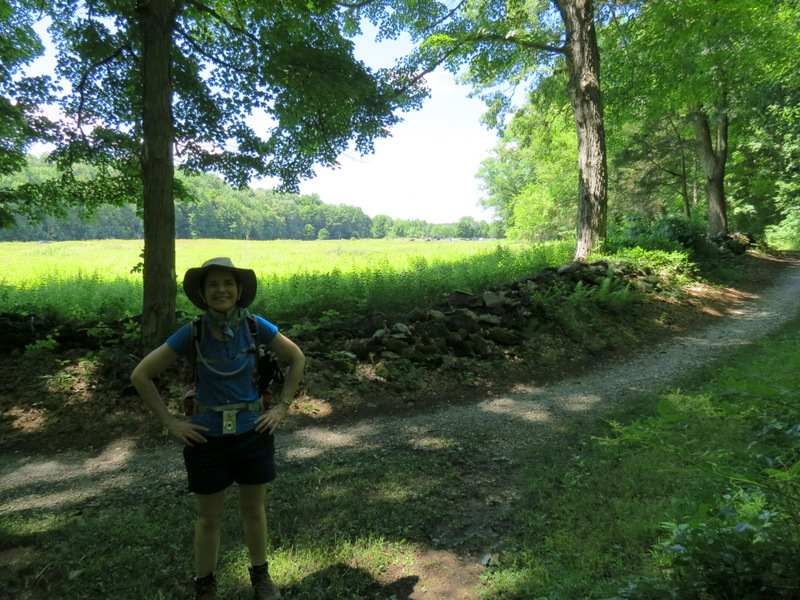 Laura on White |
 |
 Berry picking |
 |
 End of White |
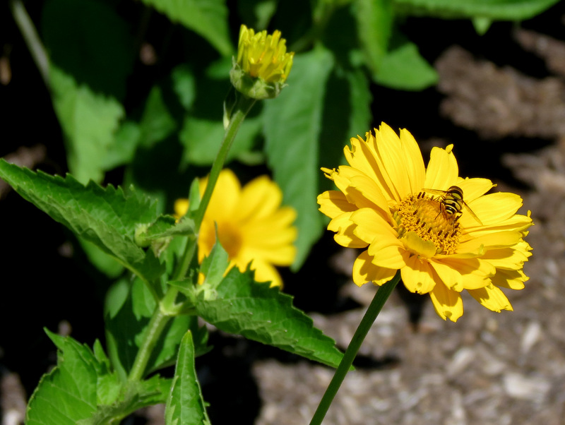
 Butterfly garden |
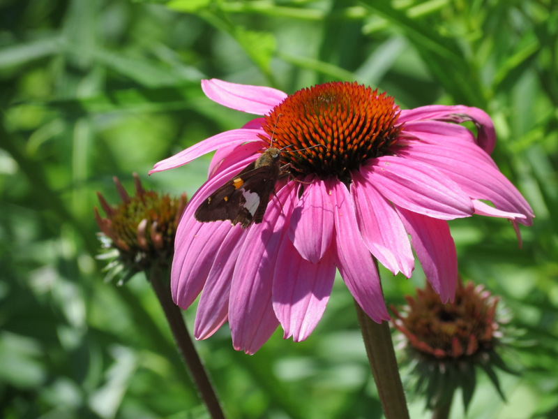 Moth having lunch... |
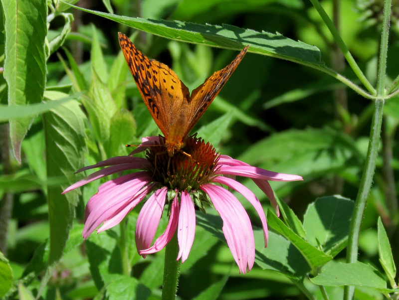 ...on a Cone Flower |
 |
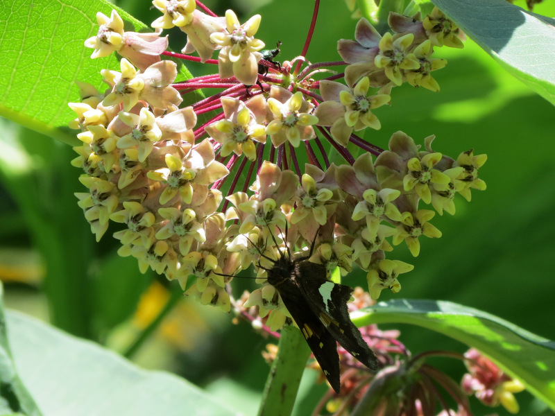 Moth on Milkweed |

|
|
Photographs and content copyright © Dan Balogh Web design by Dan Balogh |