 |
|
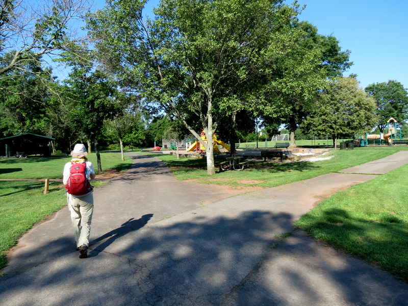
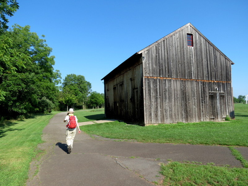
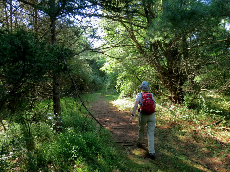
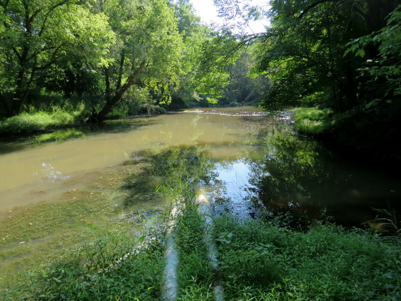
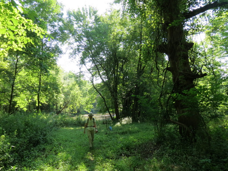
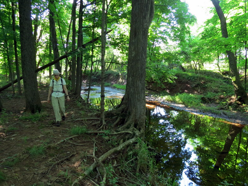
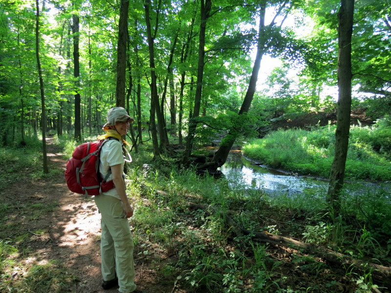
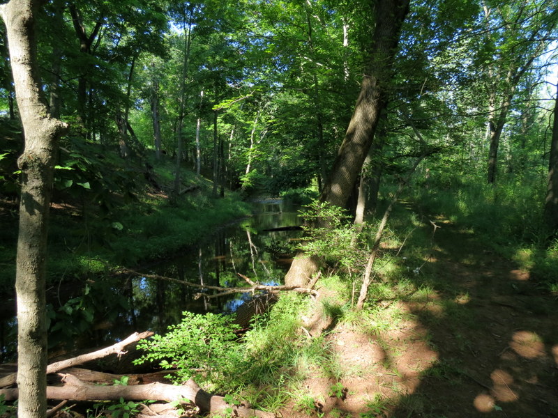
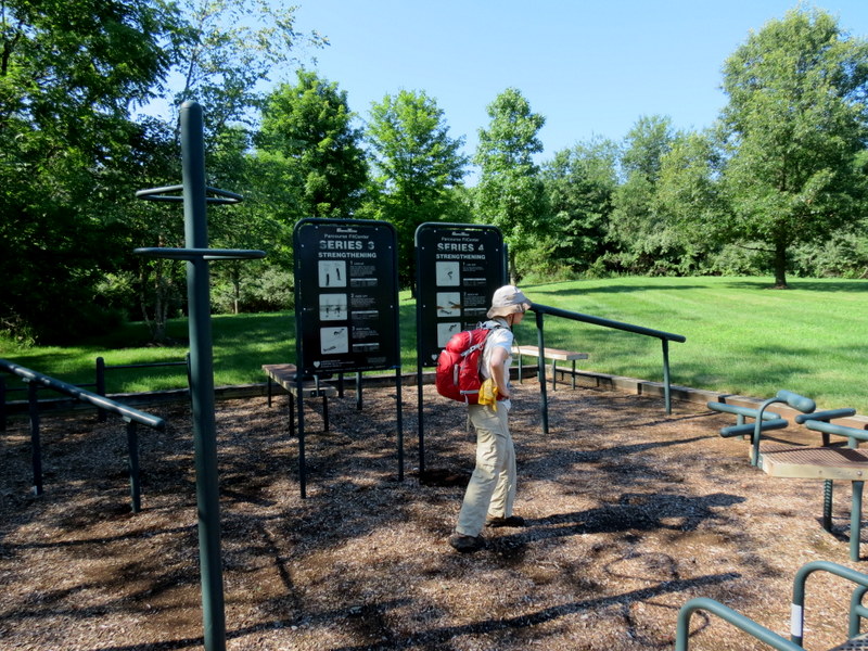
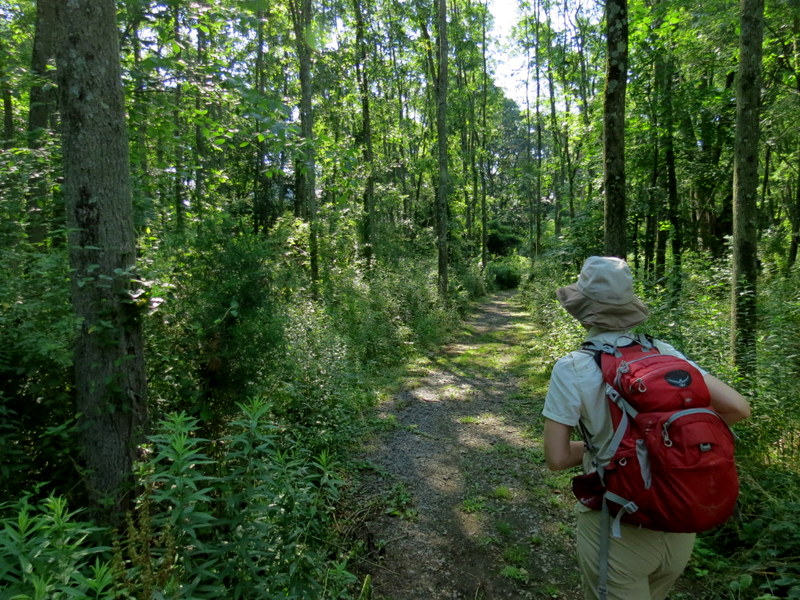
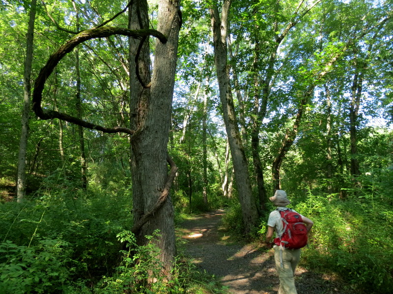
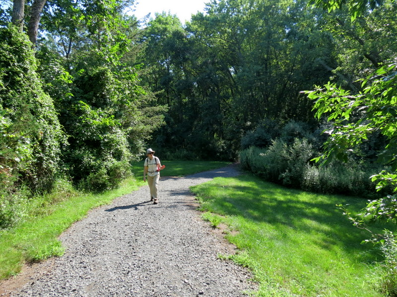
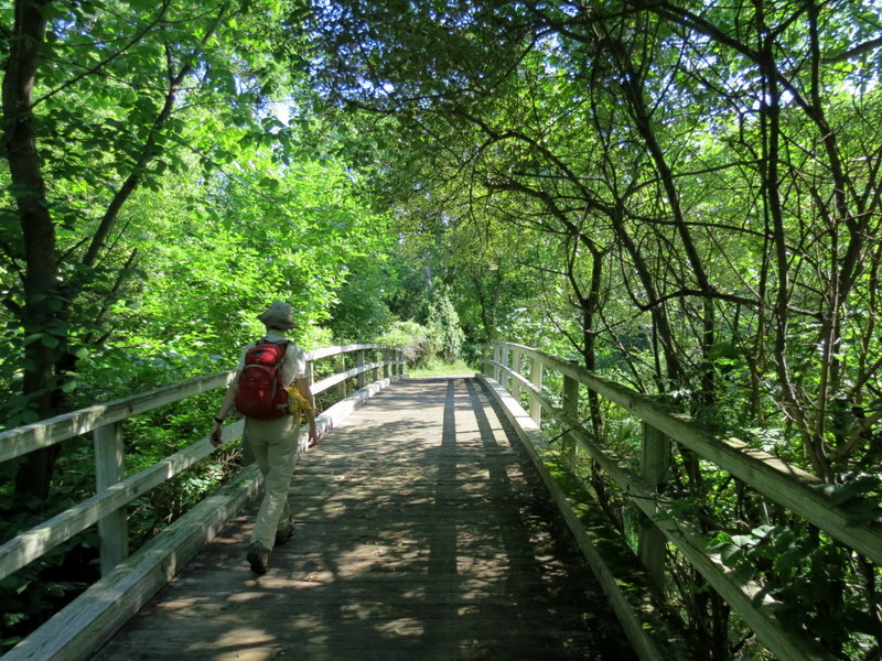
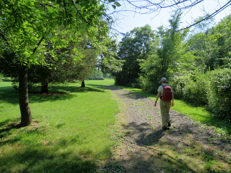
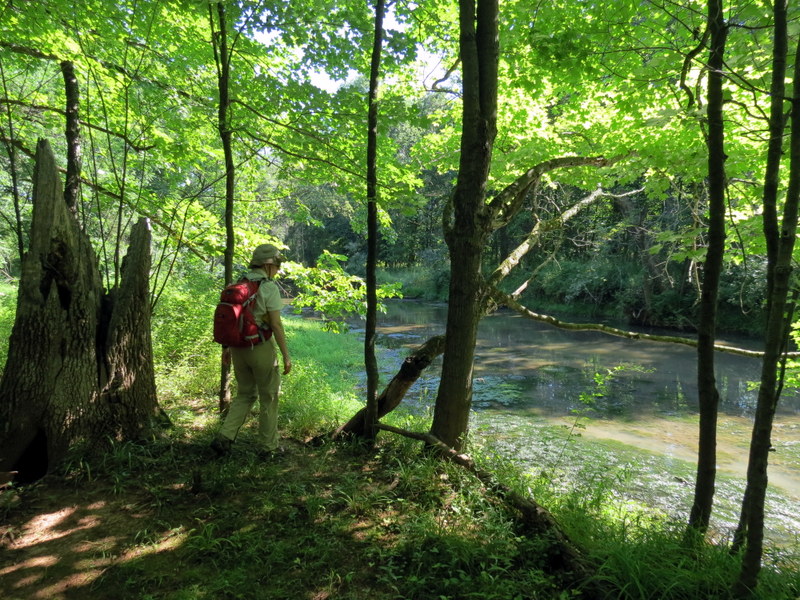
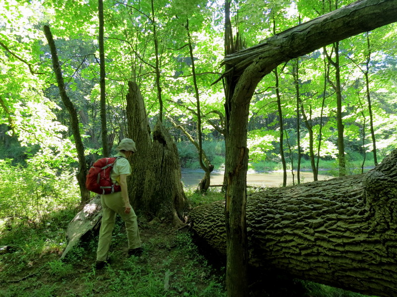
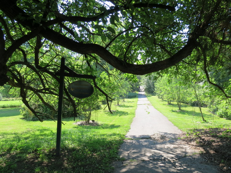
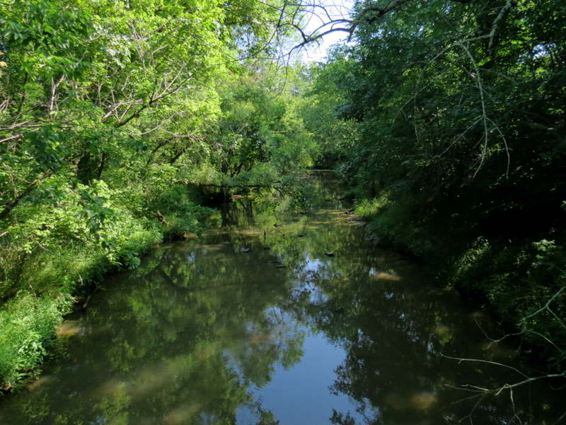
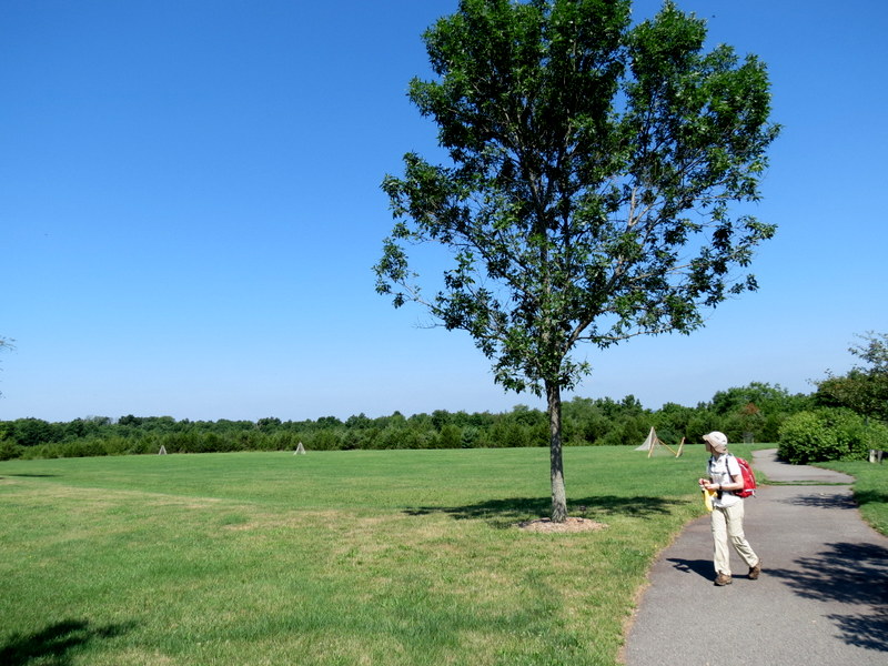
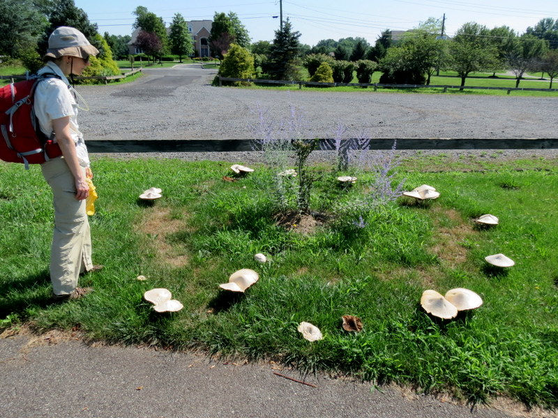
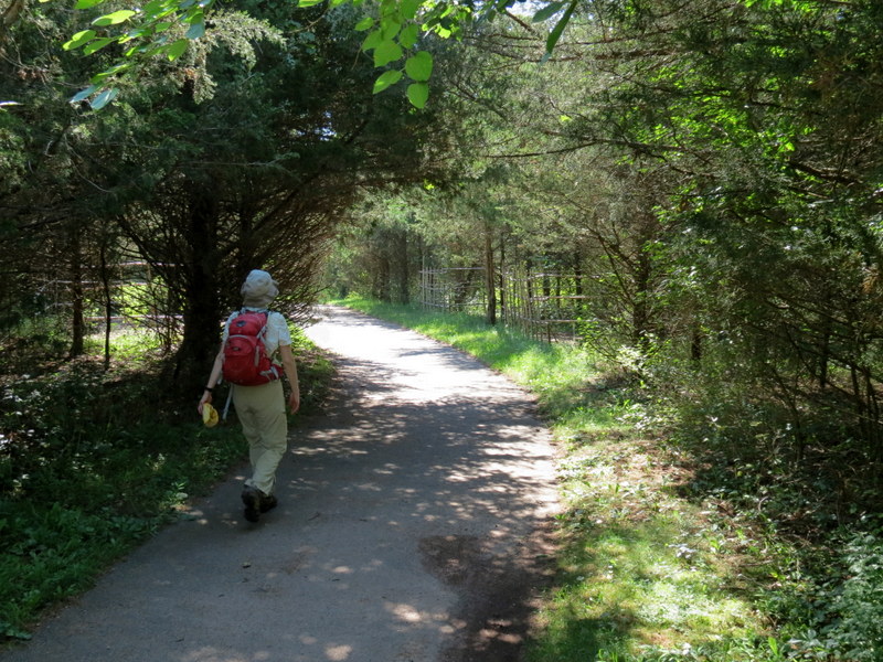
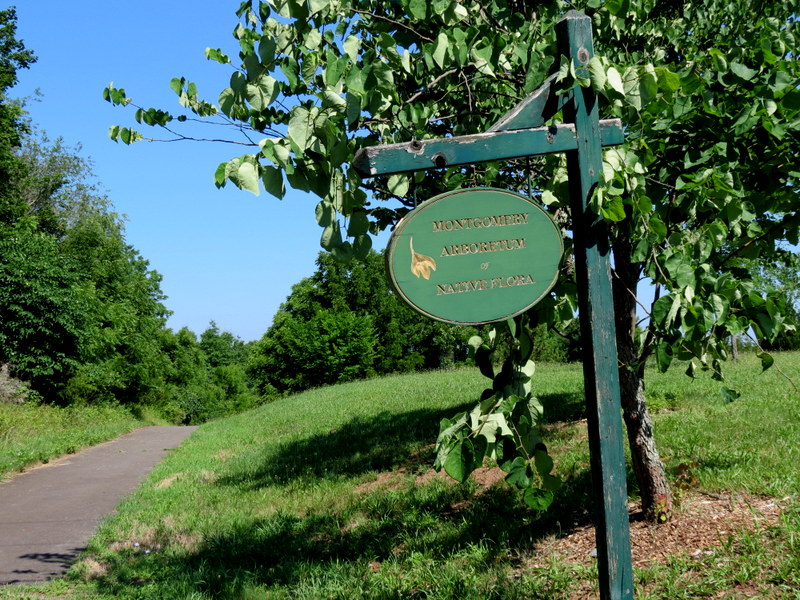
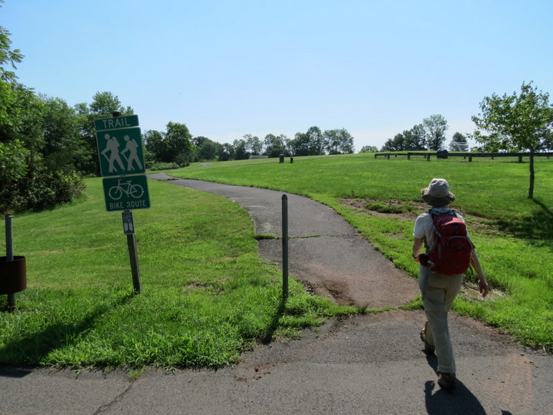
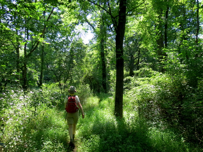
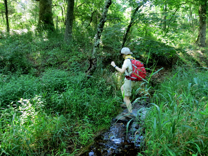
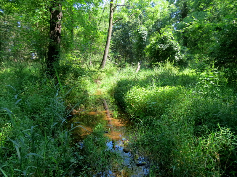
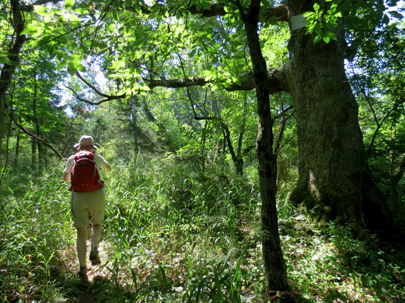
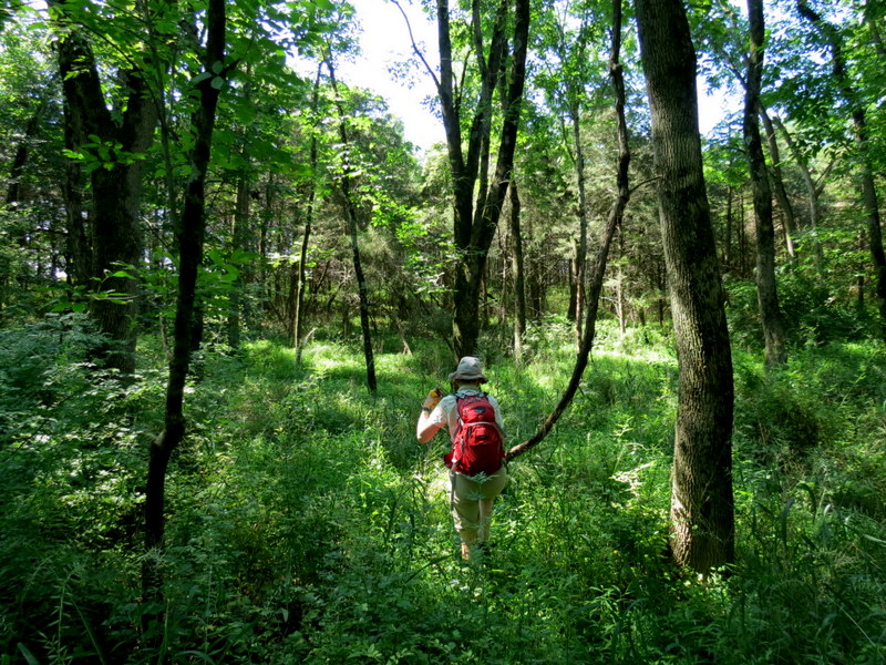
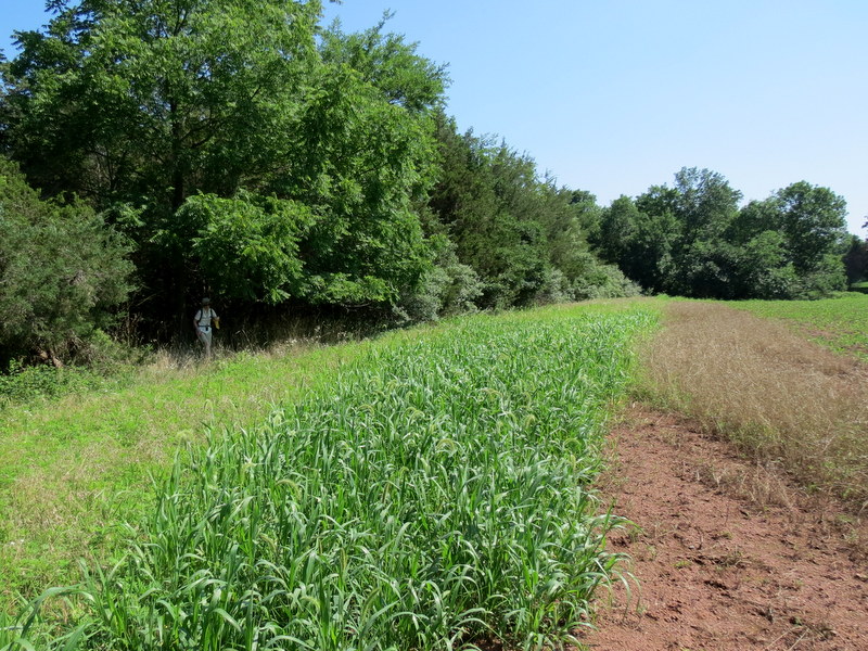
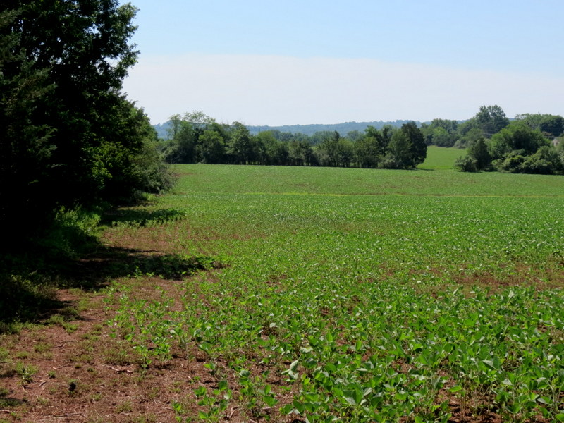
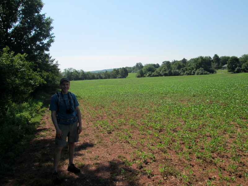
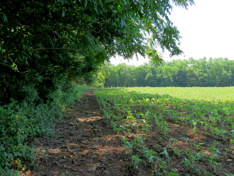
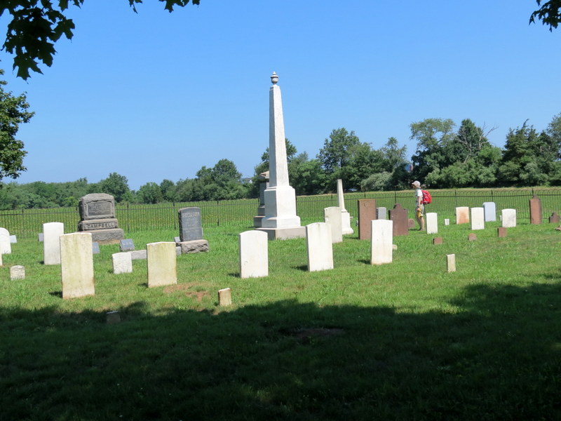
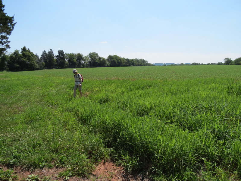
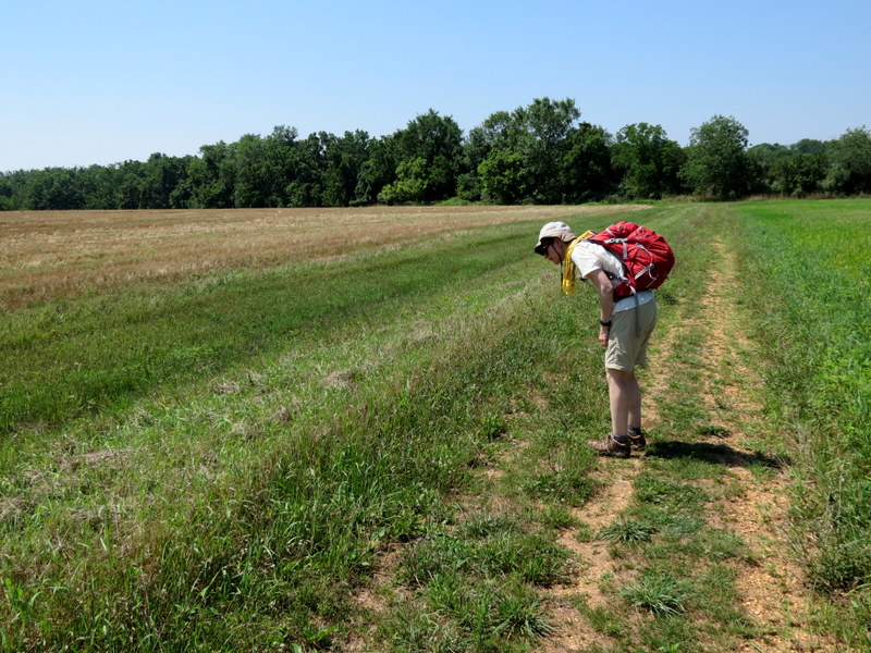
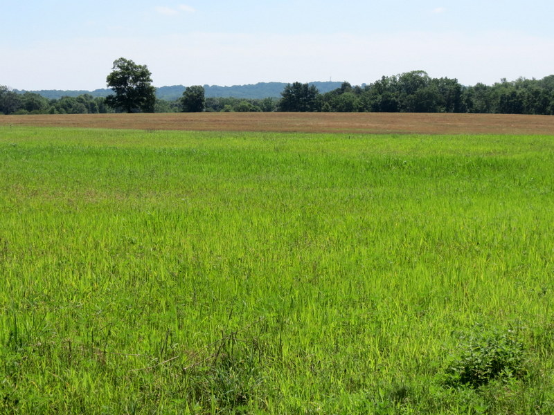
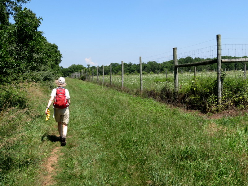
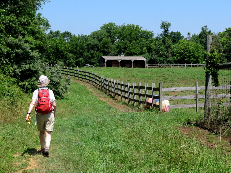
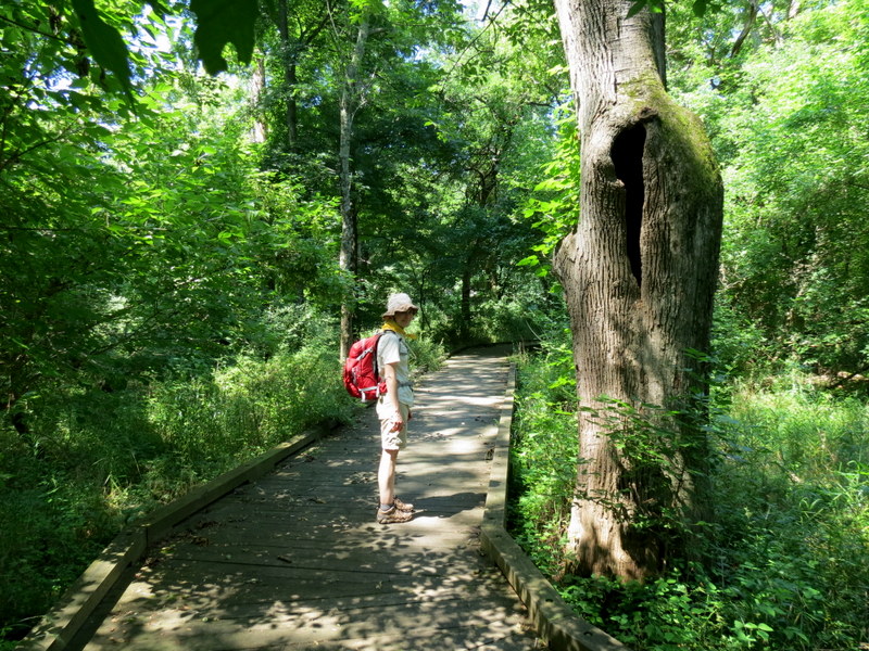
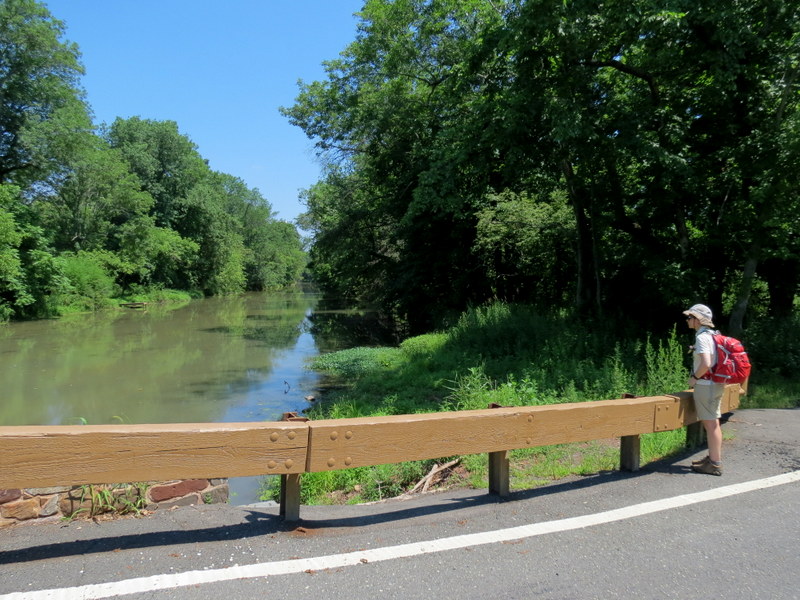
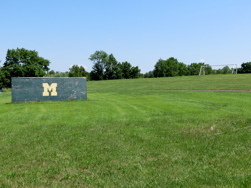
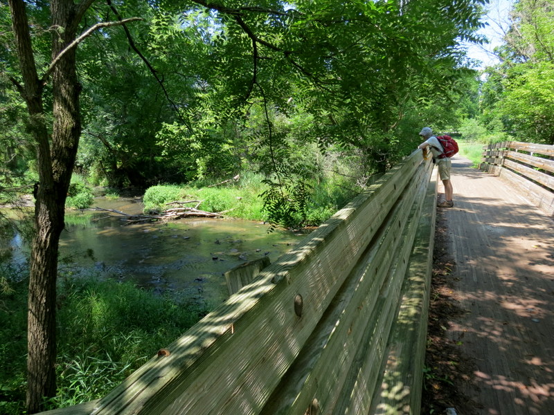
Today we headed back to Central New Jersey to hike the trails of two adjacent parks in Montgomery Township, and what a wide variety of environments we
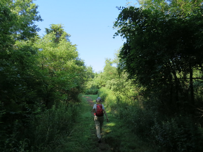
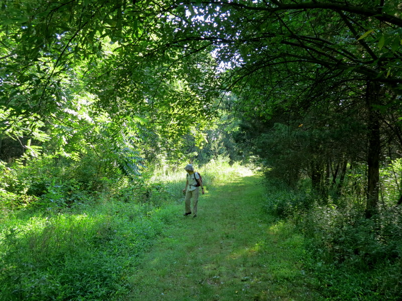
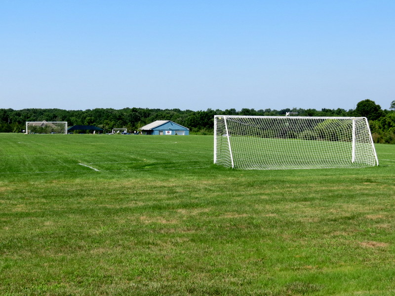
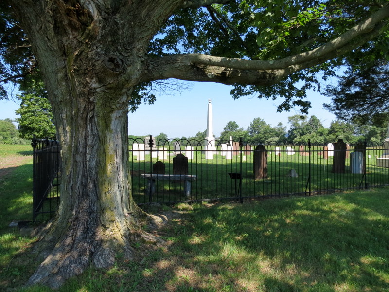
experienced, including creek banks, deep forest, farm fields, even an arboretum and a cemetery!
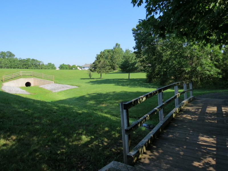
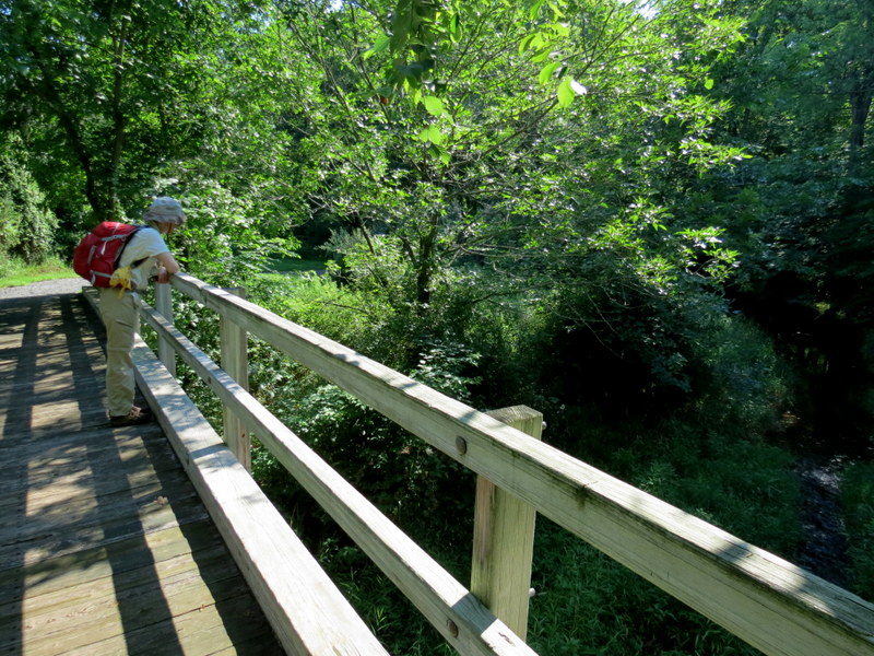
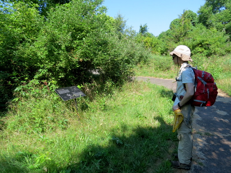
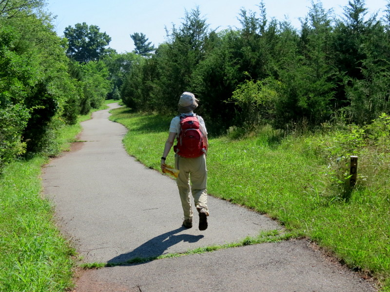
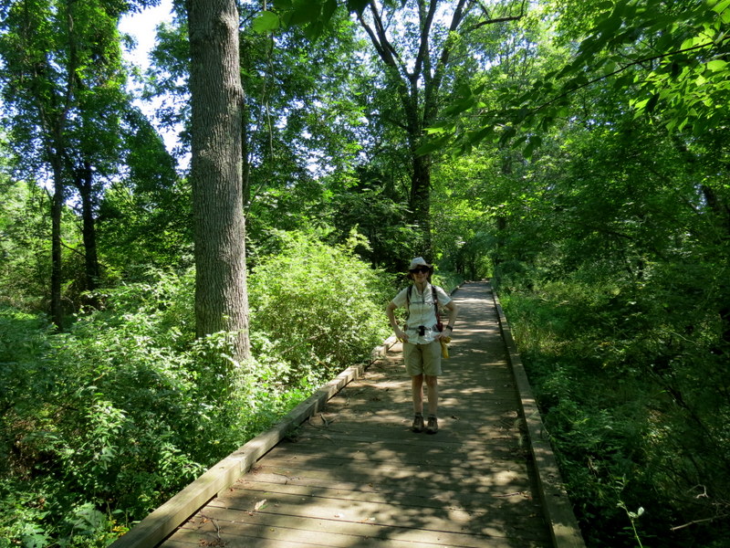
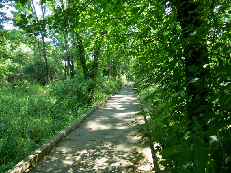
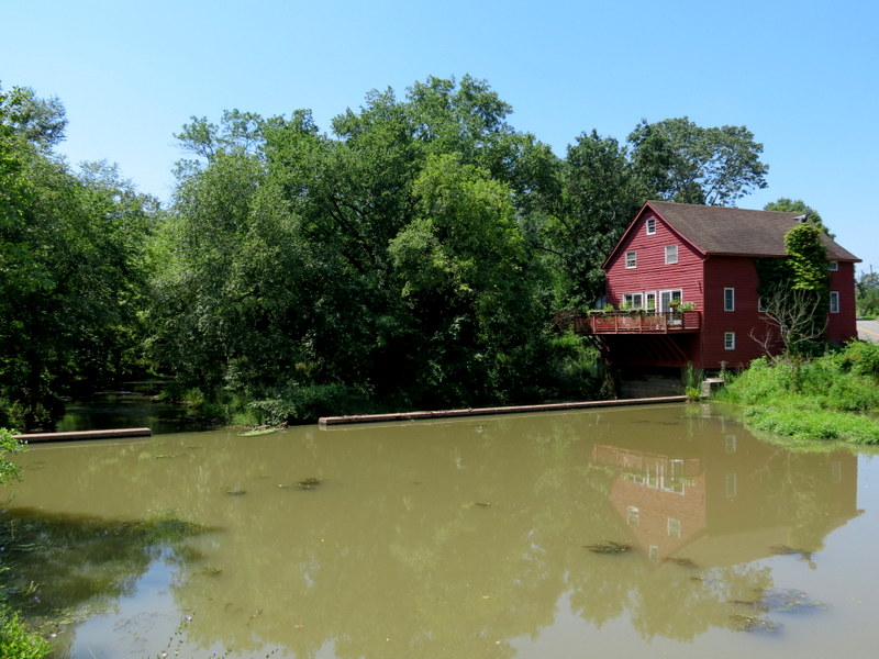
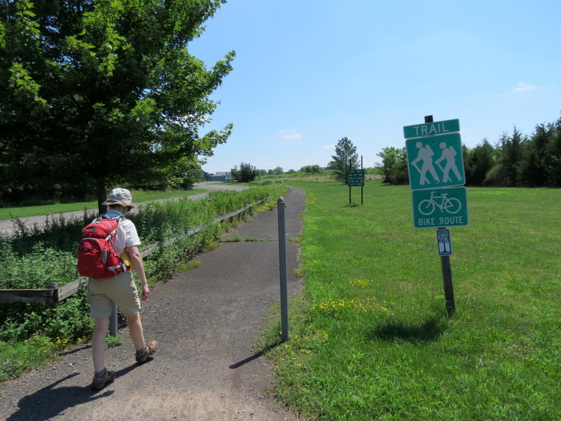
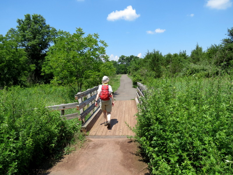
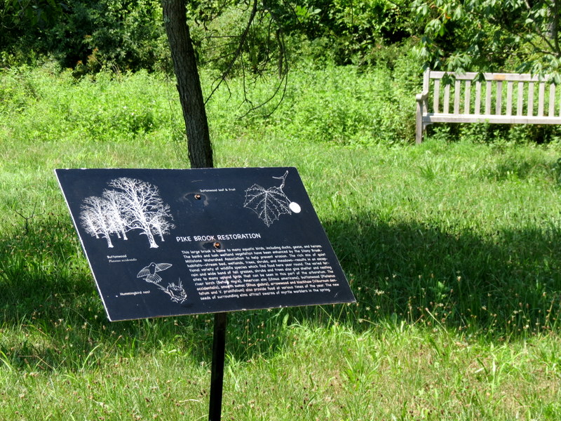
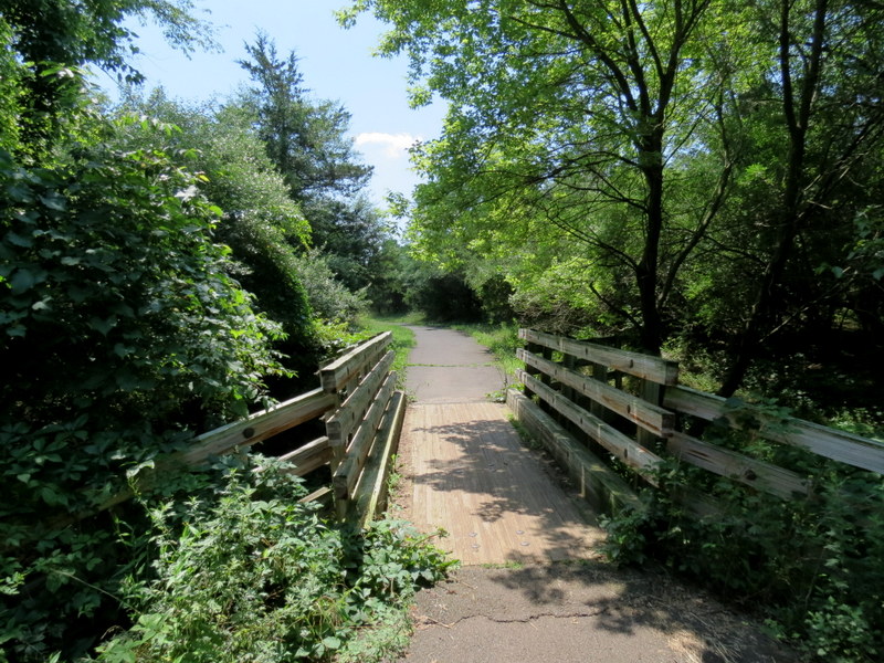
Using this map, we parked in the middle parking lot (specified on the map), first hiking the nature trail and the trail that heads south along the creek (we discovered another trail here as well, see our track below). Returning back north we continued east into the second park using this map. But we hiked much more than what's on this map. There are additional trails which extend south which can be seen on this third map which combines both of the parks. One is called Opie's Mill Pathway and includes a long impressive boardwalk through a swampy area. You can even get a view of the historic Mill Pond Bridge and mill along the way. Total distance hiked was 7.2 miles in nearly 3 hours and 15 minutes. Our track can be seen here
|
 |
 |
 |
 |
 |
 |
 |
 |
 |
 |
 |
 |
 |
 |
 |
 |
 |
 |
 |
 |
 |
 |
 |
 |
 |
 |
 |
 |
 |
 |
 |
 |
 |
 |
 |
 |
 |
 |
 |
 |
 |
 |
 |
 |
 |
 |
 |
 |
 |
 |
 |
 |
 |
 |
 |
 |
 |
 |
 |
 |
 |
 |
 |
 |
 |
 |
 |
 |
 |
 |
 |
 |

|
|
Photographs and content copyright © Dan Balogh Web design by Dan Balogh |