 |
|
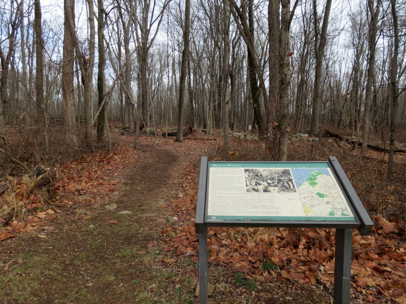
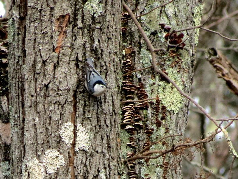
We hiked this area over six years ago. At that time we encountered a big black bear. We returned today to hike every trail (or nearly every one) in different
directions than last time, and to explore some of the unmarked trails.
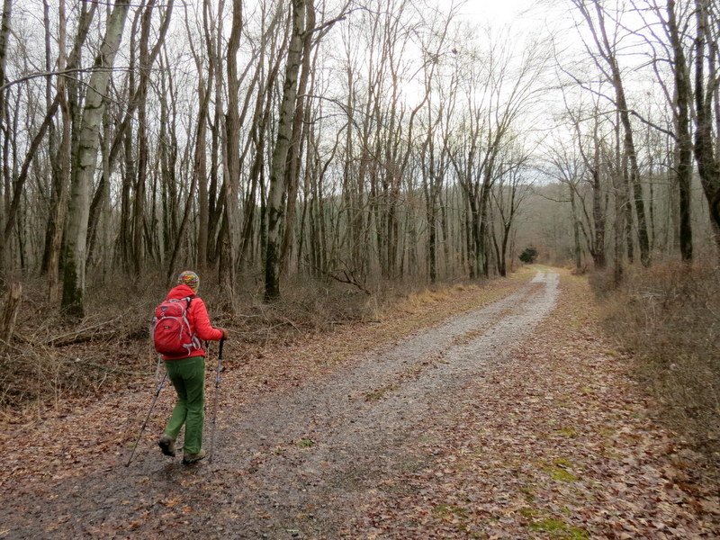
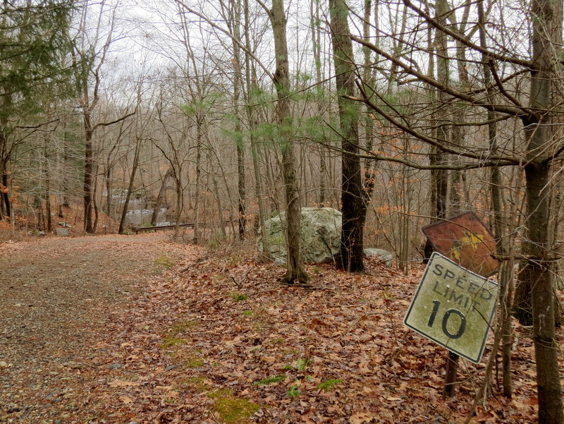
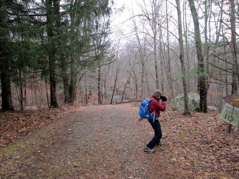
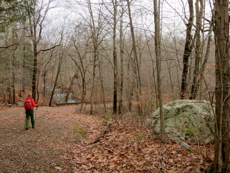
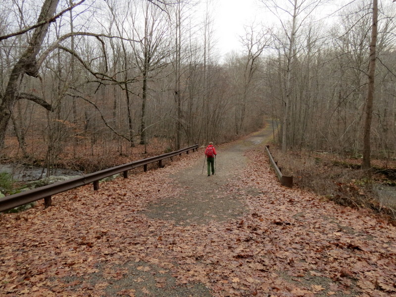
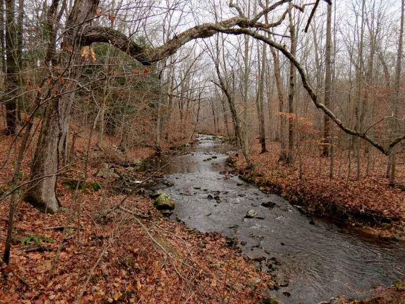
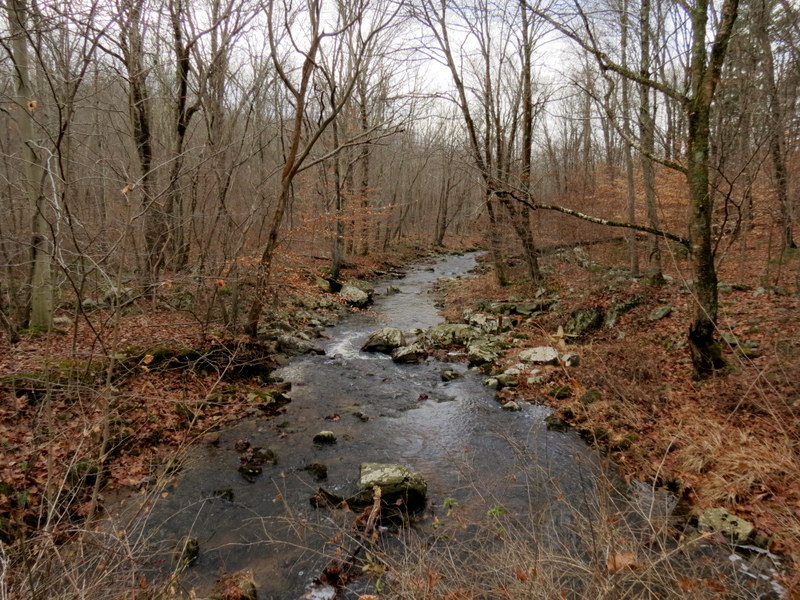
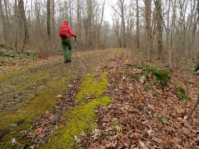
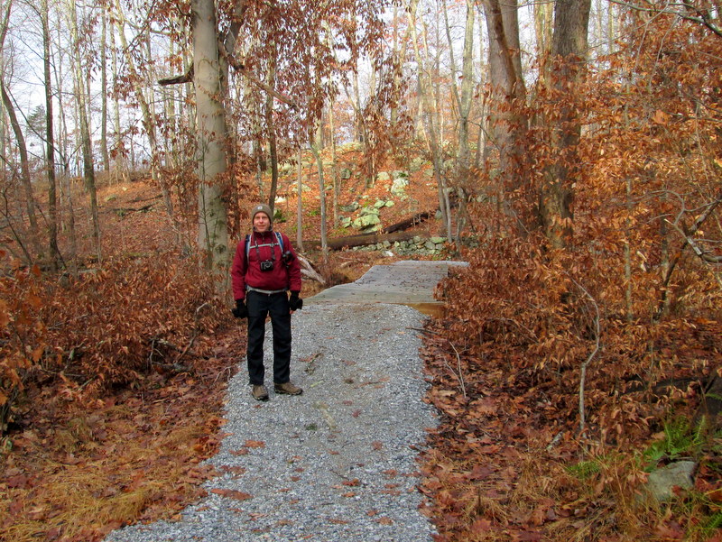
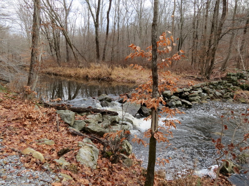
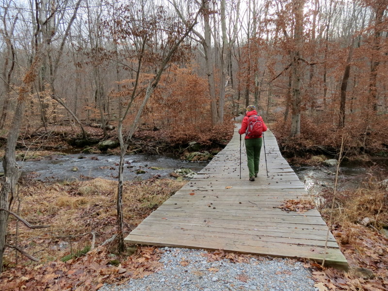
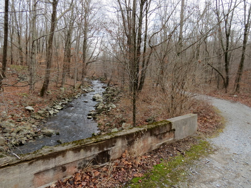
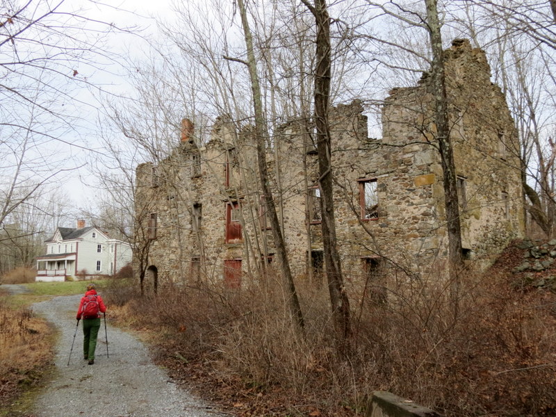
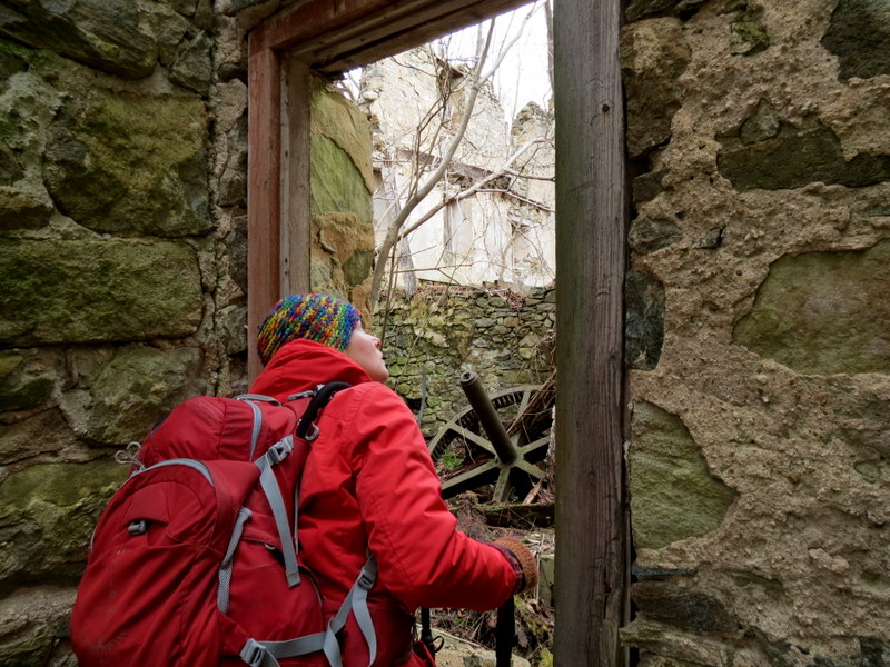
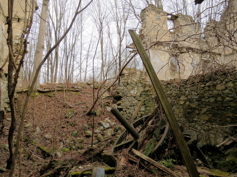
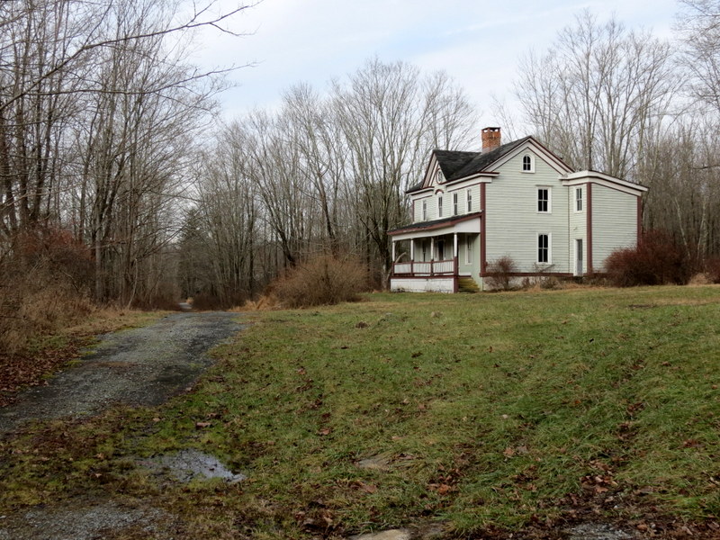
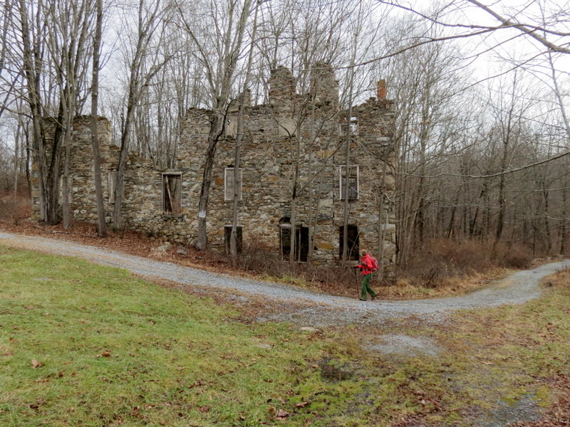
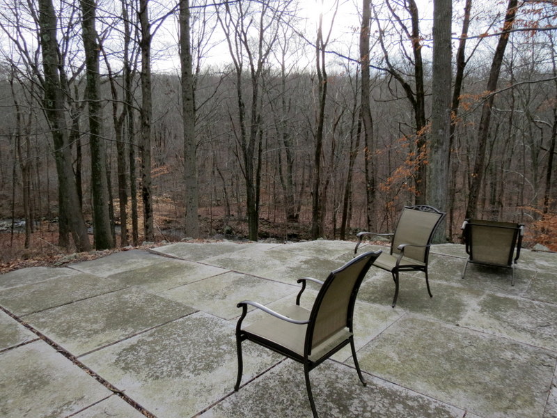
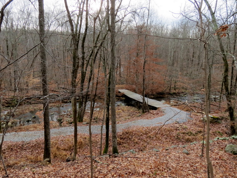
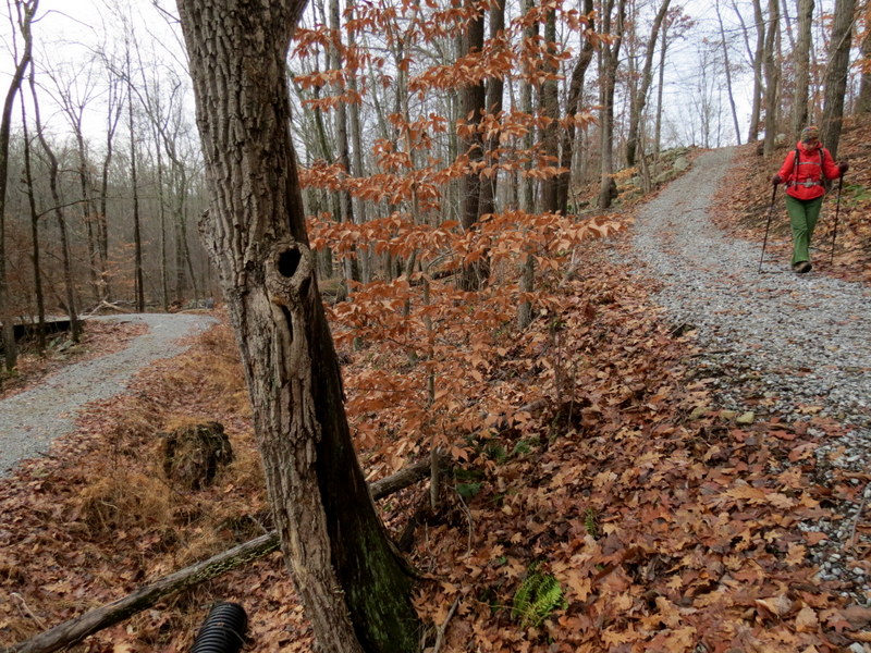
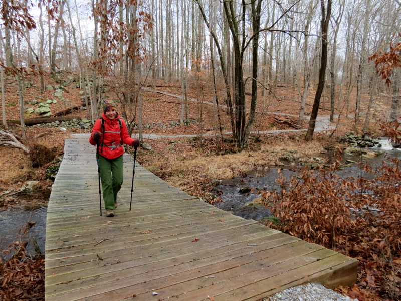
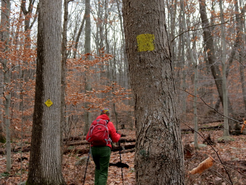
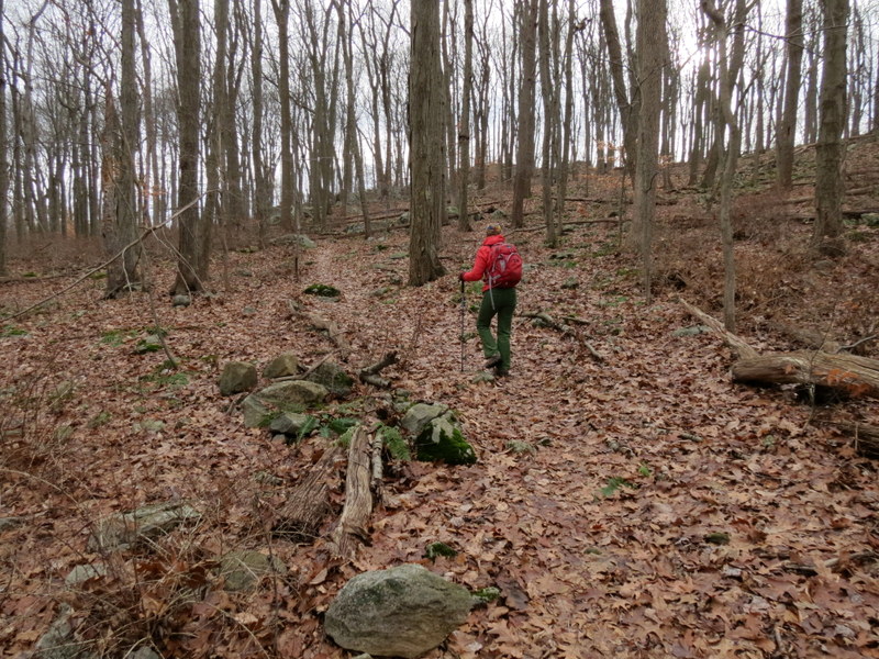
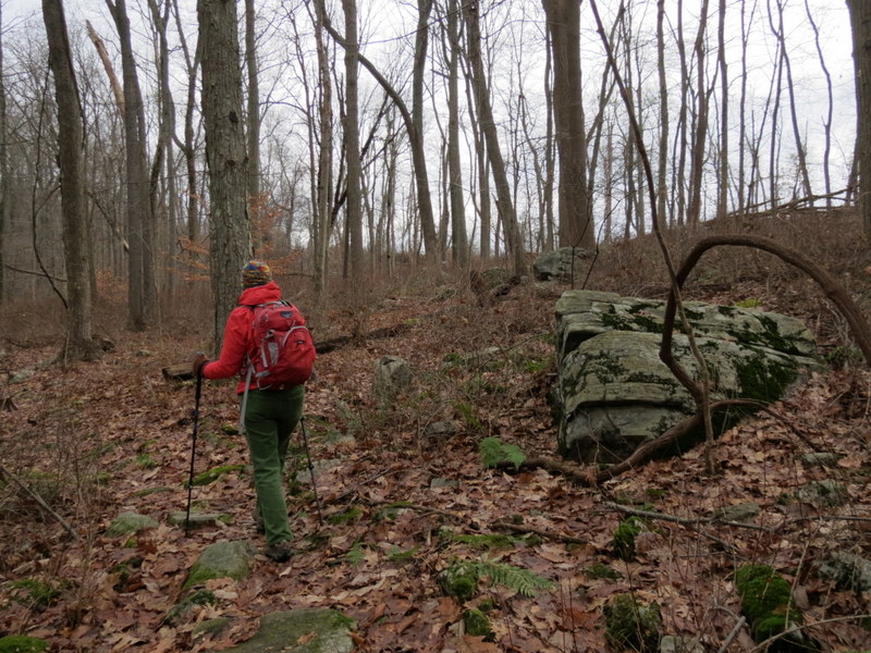
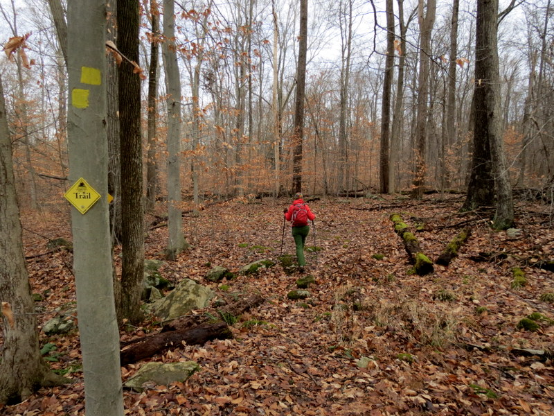
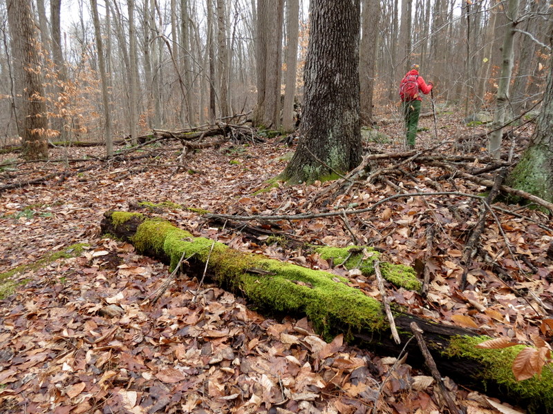
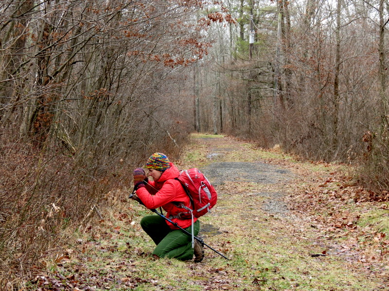
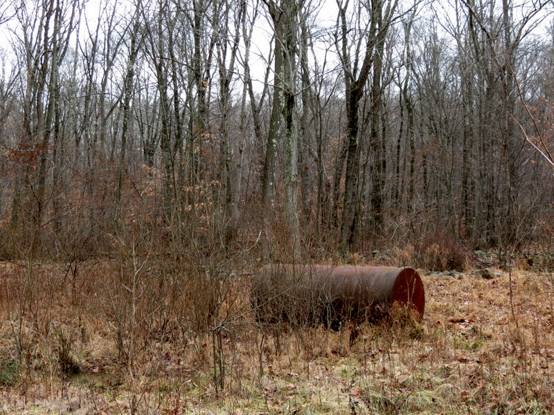
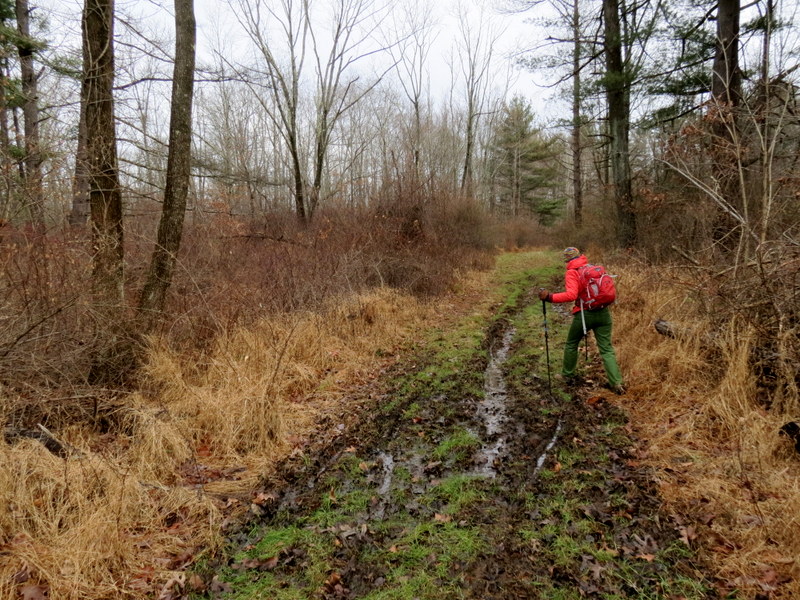
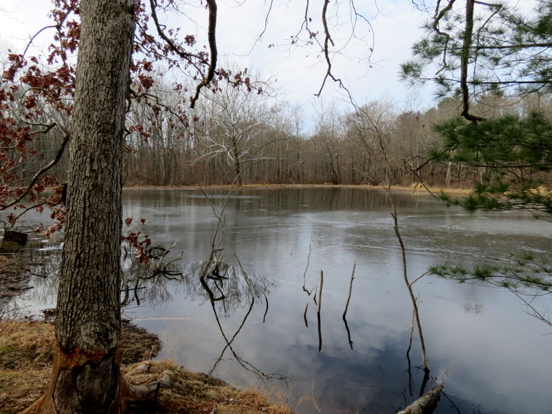
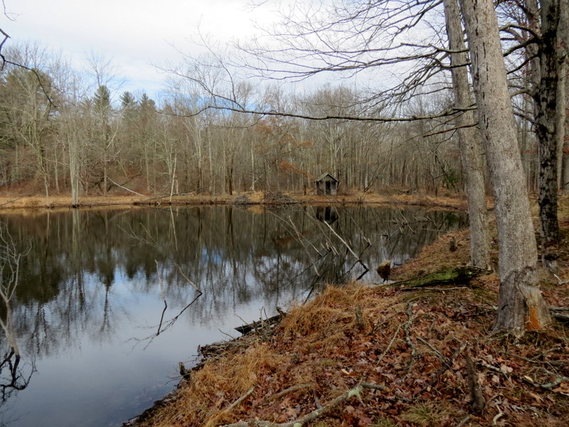
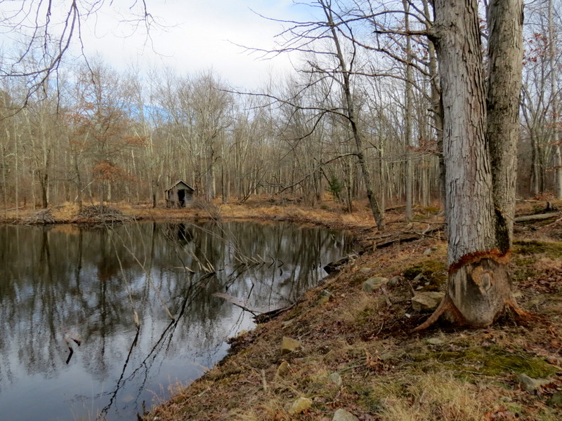
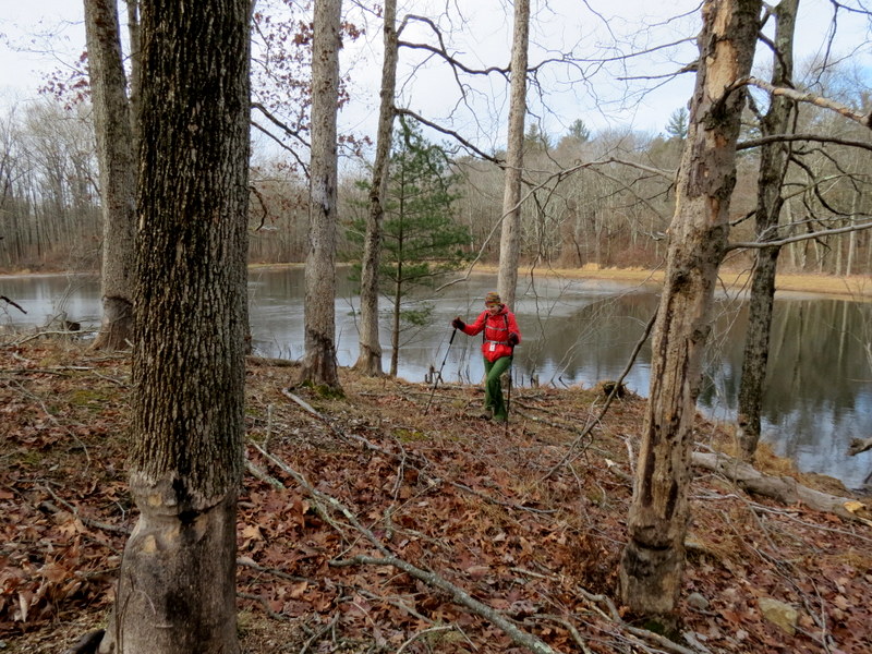
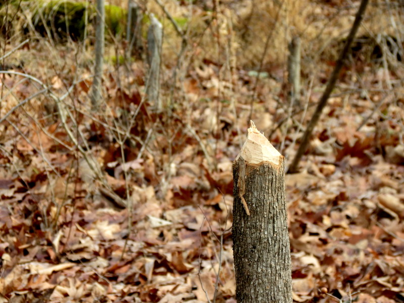
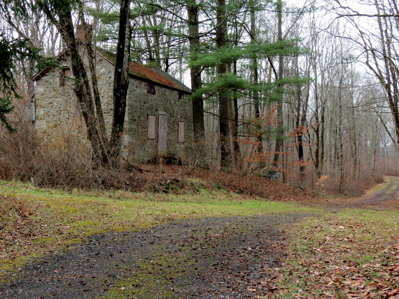
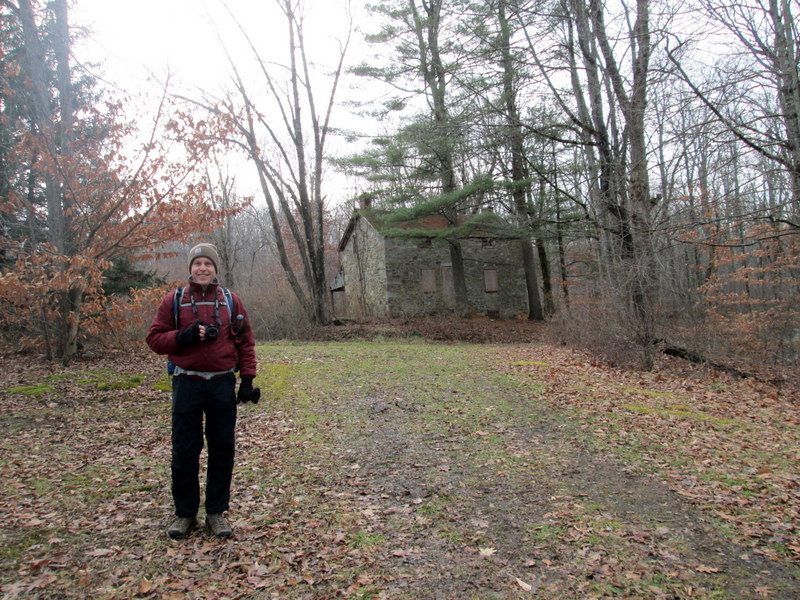
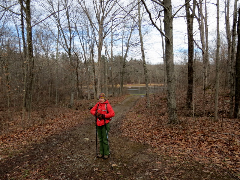
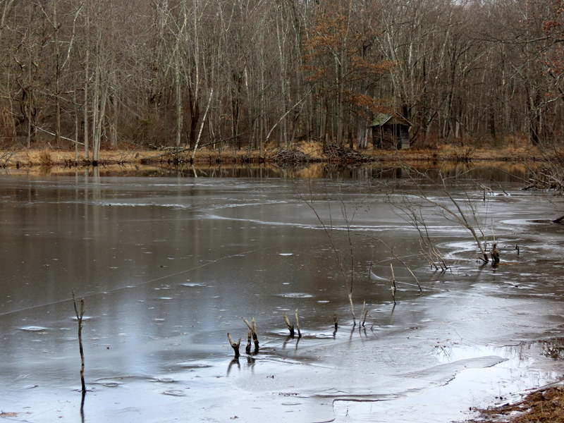
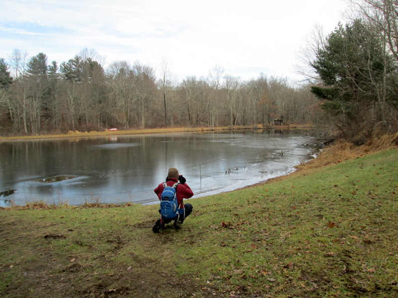
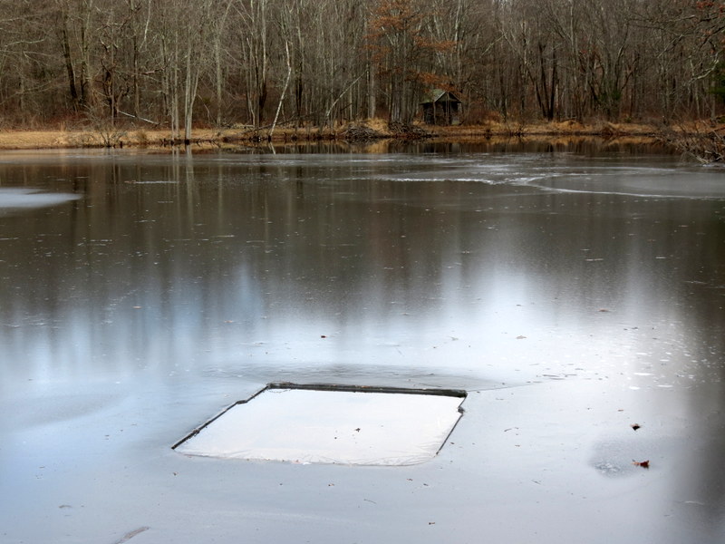
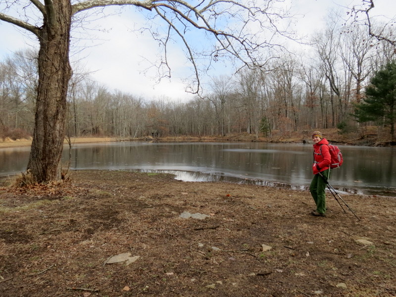
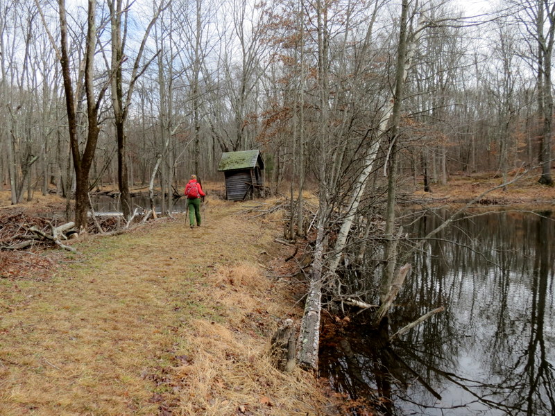
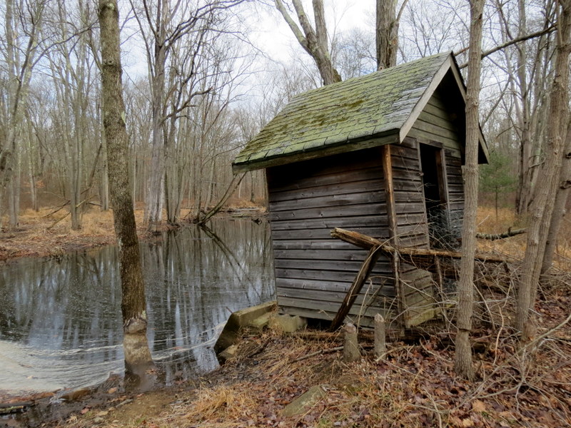
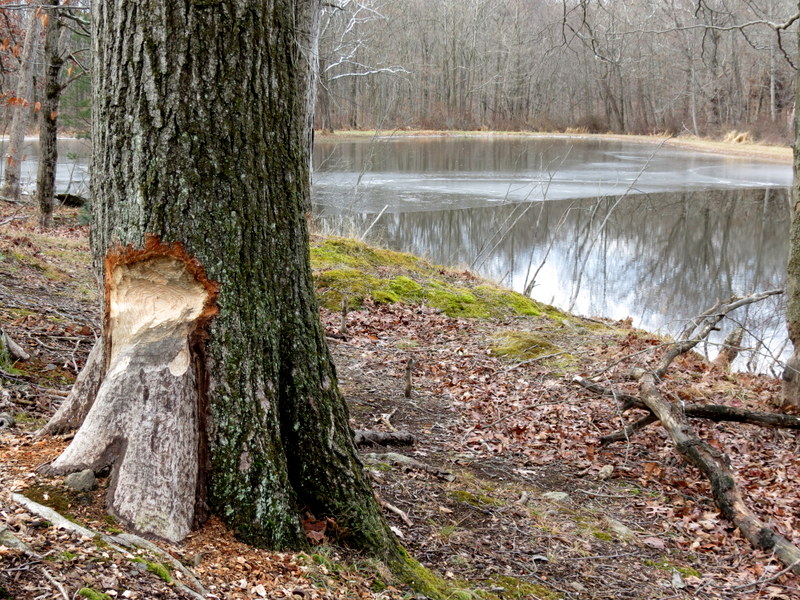
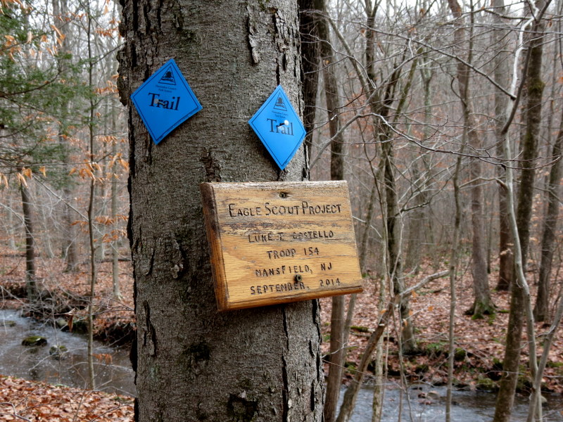
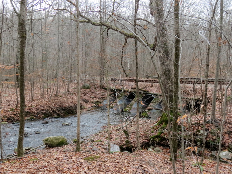
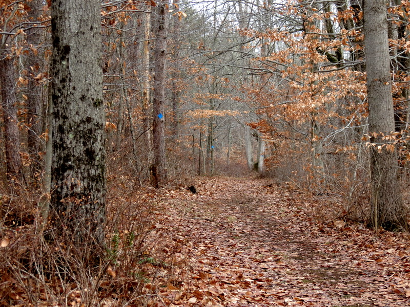
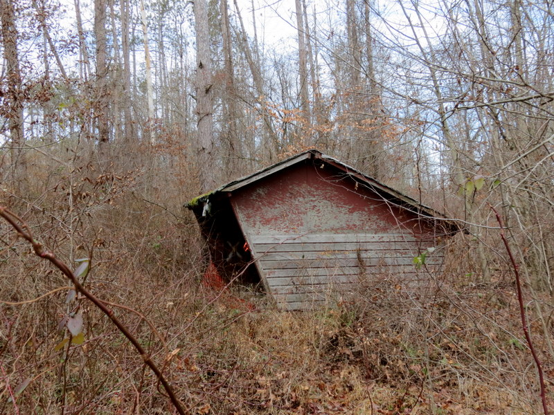
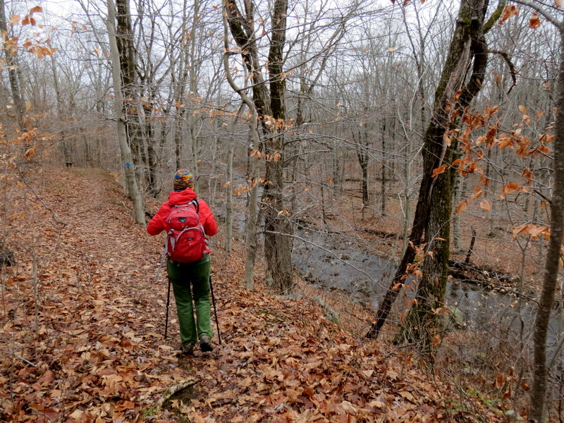
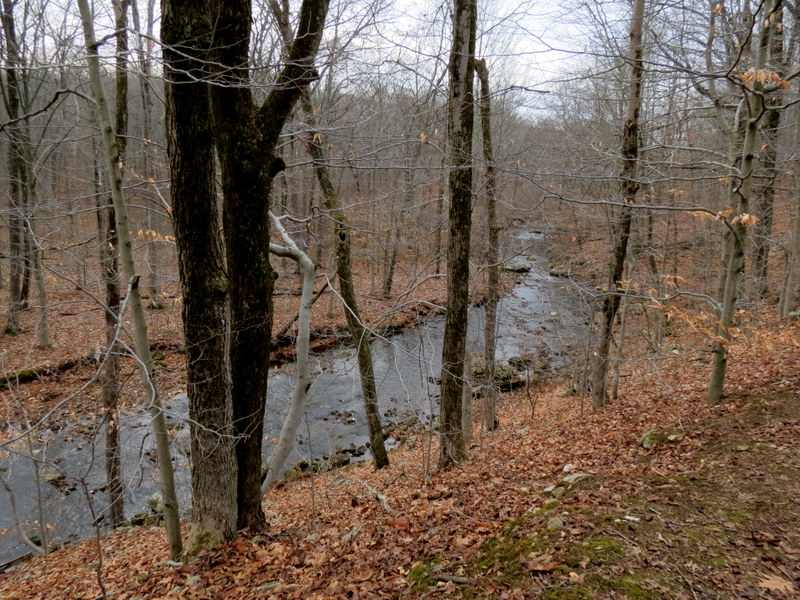
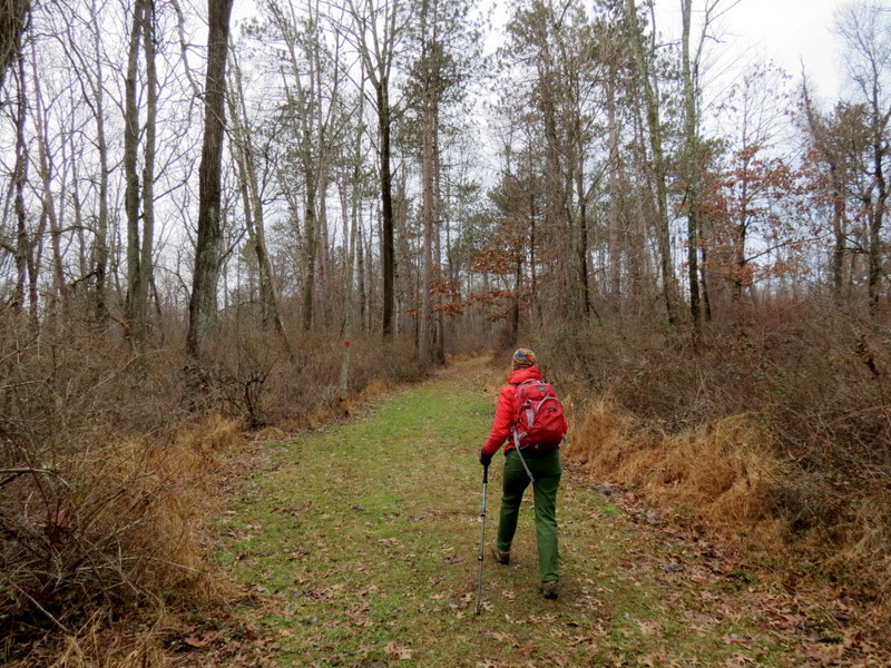
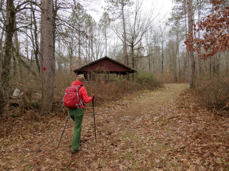
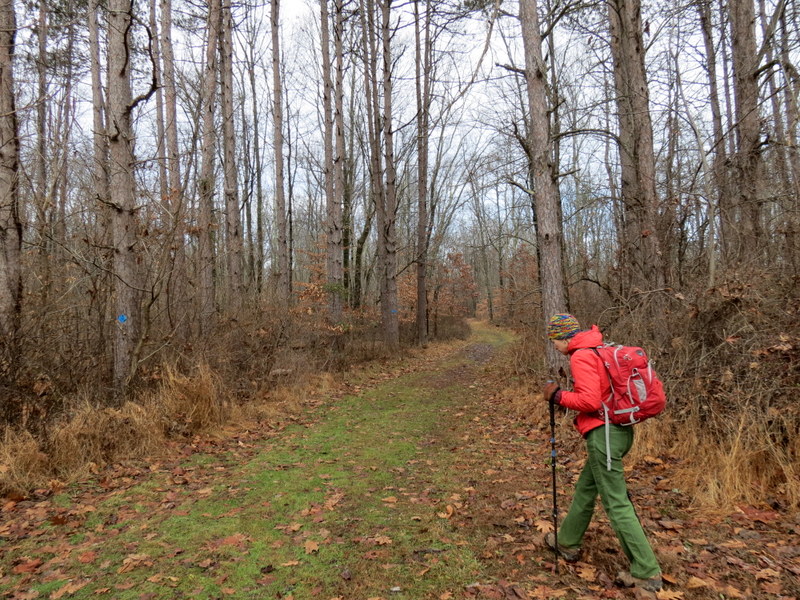
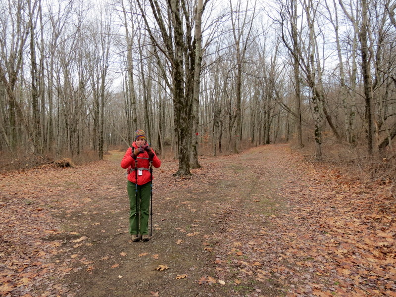
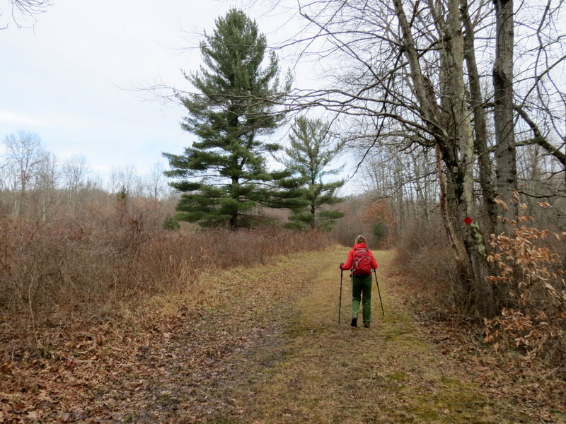
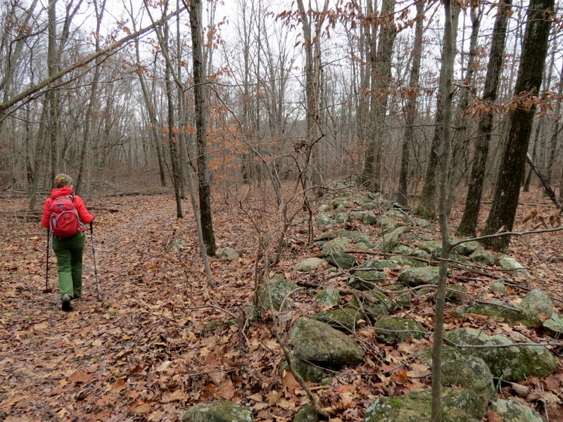
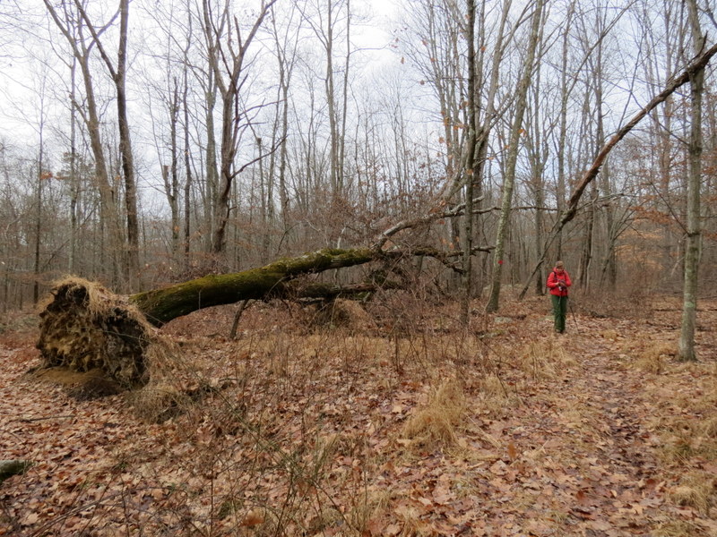
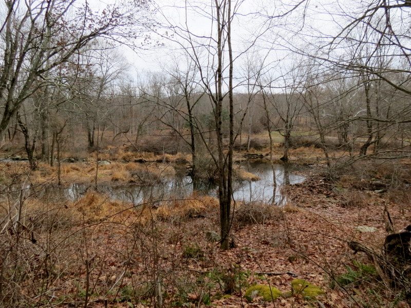
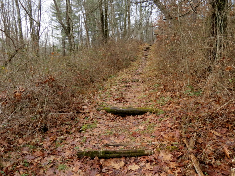
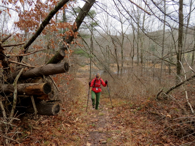
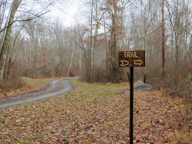
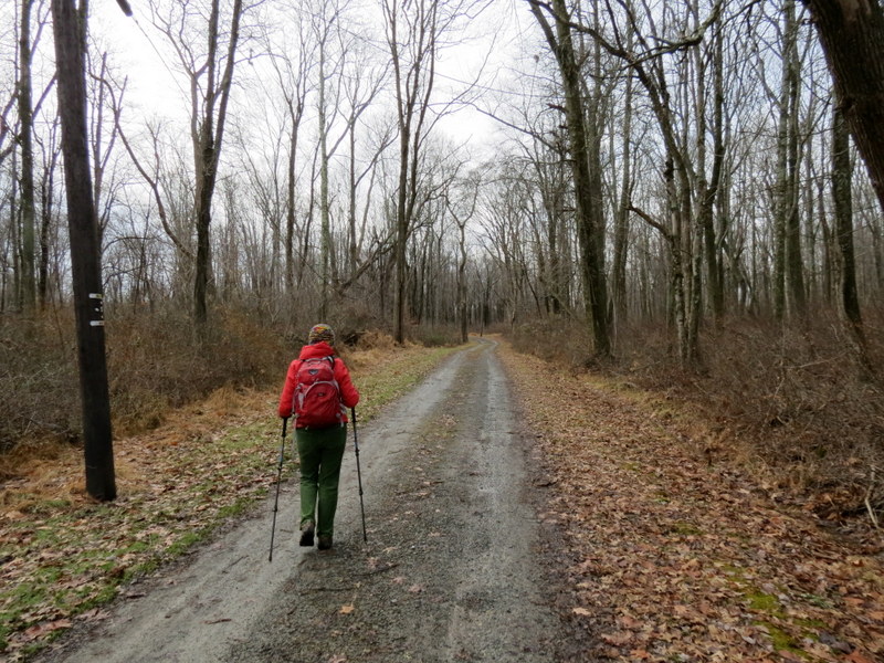
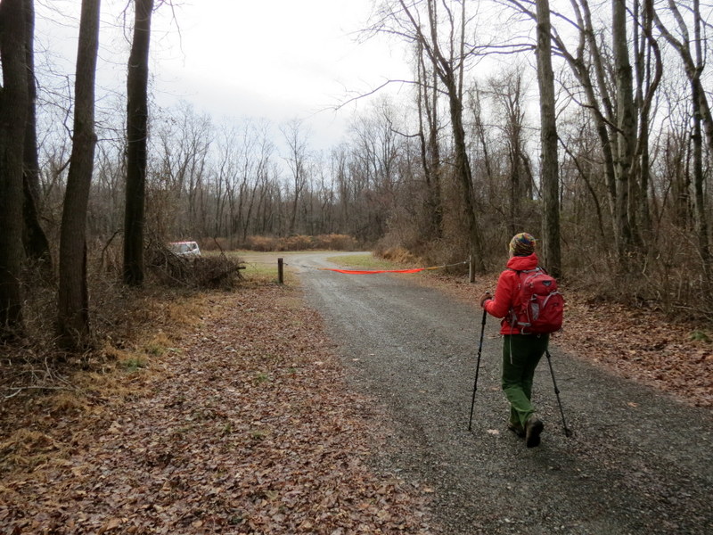
Using this map, we parked in the large grassy lot off of Newport Road and headed south along the old paved camp road. Just before this road meets with Yellow on the map, we headed along the old Boy Scout Road west, encountering a beautiful area with a bridge over Spruce Run that may or may not have been private property. Continuing west we encountered the impressive remains of what appeared to be a mill. Climbing behind it we headed back east with Spruce Road below us, descending to the same bridge we encountered earlier. We then headed back east and took the Yellow trail south. At the northern end of Yellow we headed east, exploring another unmarked trail before returning west to visit the lake, home to a large beaver lodge. We next continued on the network of trails north of the Run doing everything except a small piece of Blue. You can see our track here. Total distance hiked today was 5.1 miles in 2.5 hours.
|
 |
 |
 |
 |
 |
 |
 |
 |
 |
 |
 |
 |
 |
 |
 |
 |
 |
 |
 |
 |
 |
 |
 |
 |
 |
 |
 |
 |
 |
 |
 |
 |
 |
 |
 |
 |
 |
 |
 |
 |
 |
 |
 |
 |
 |
 |
 |
 |
 |
 |
 |
 |
 |
 |
 |
 |
 |
 |
 |
 |
 |
 |
 |
 |
 |
 |
 |
 |
 |
 |
 |
 |
 |
 |
 |
 |
 |
 |
 |
 |

|
|
Photographs and content copyright © Dan Balogh Web design by Dan Balogh |