 |
|
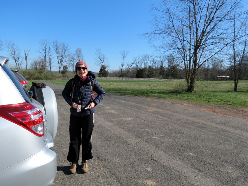
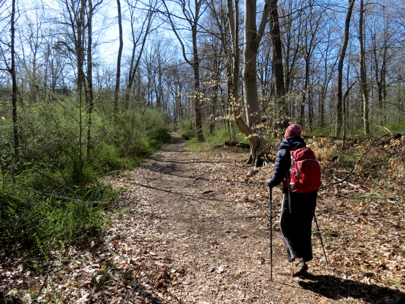
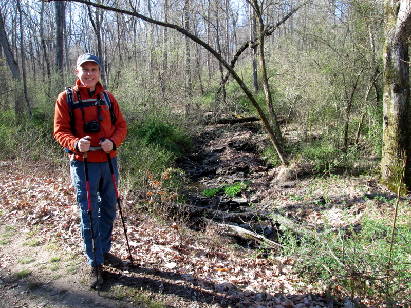
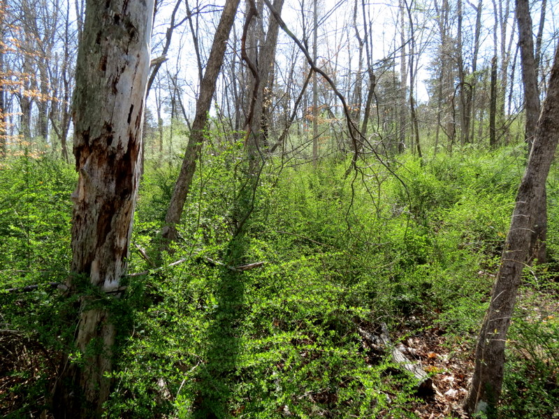
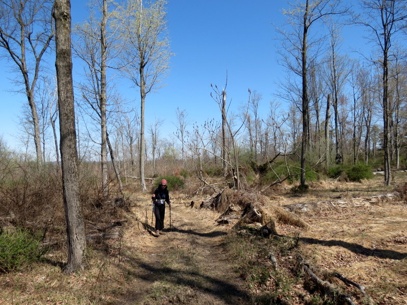
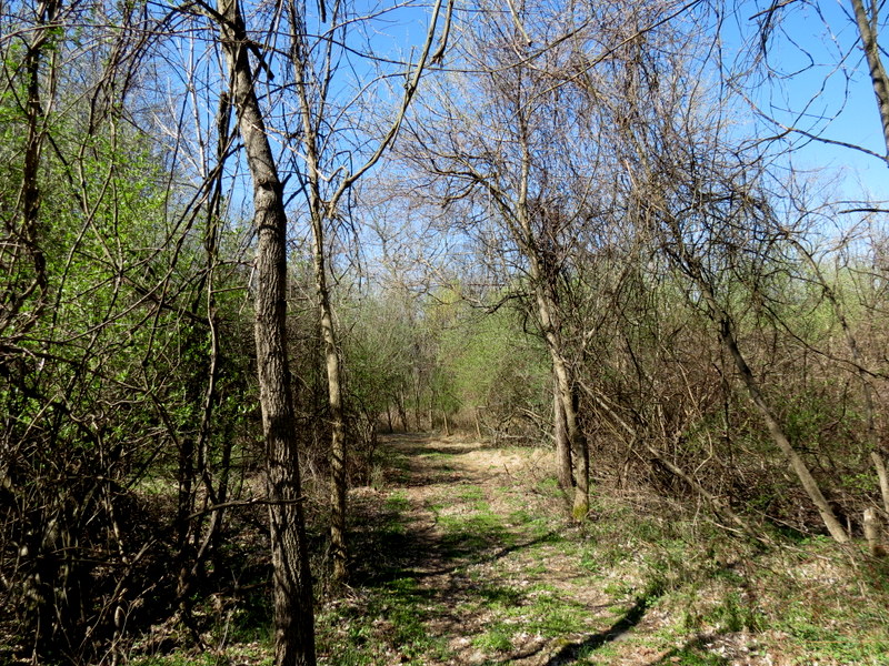
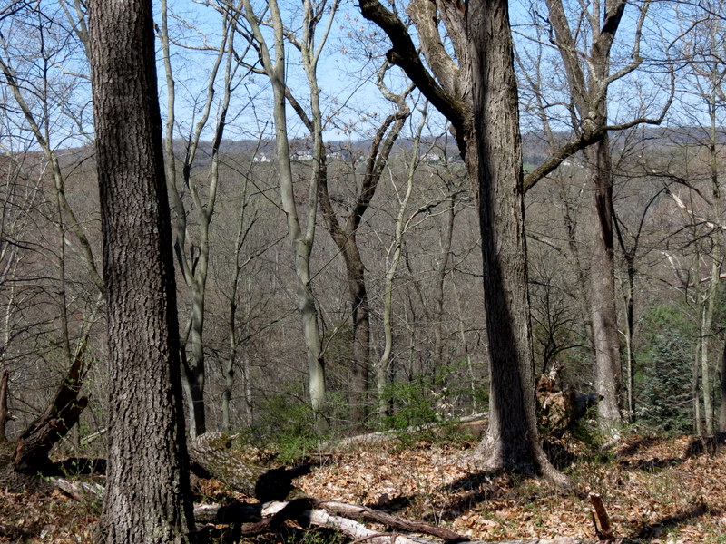
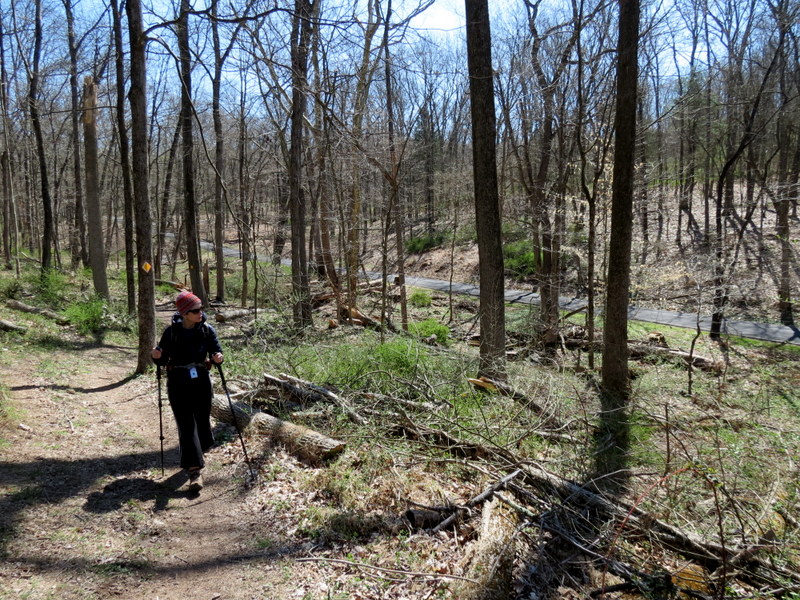
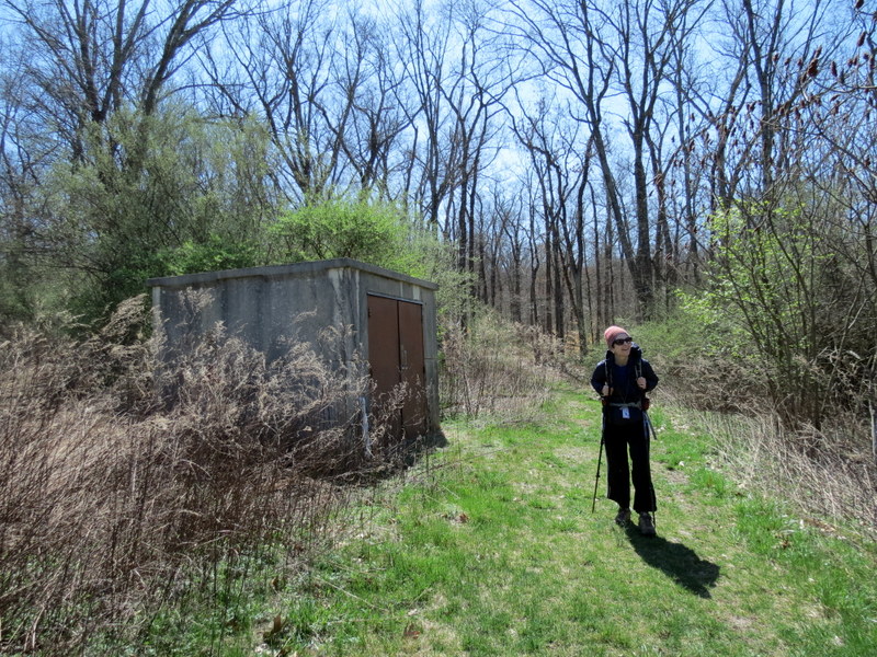
We hiked this beautiful varied park twice in the past, once in 2014 and again in 2016. Today we returned to hike some of the trails we hadn't hiked in the past,
including a new circuit in the southern-most half.
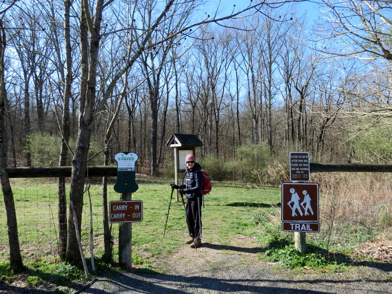
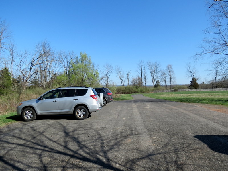
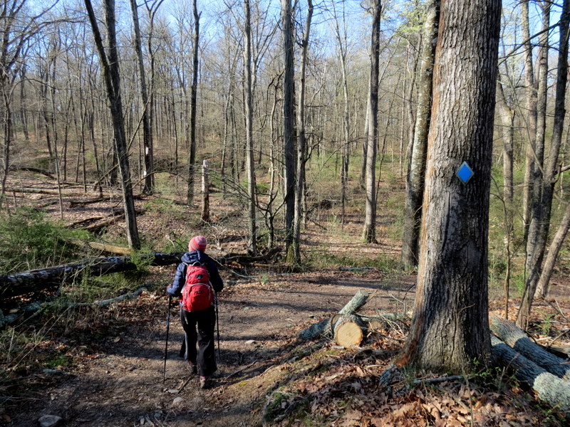
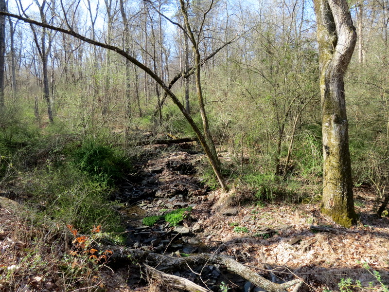
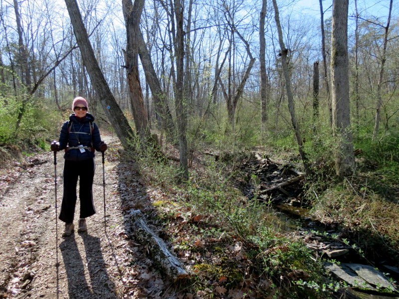
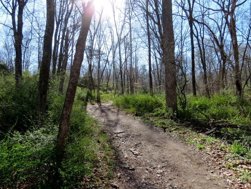
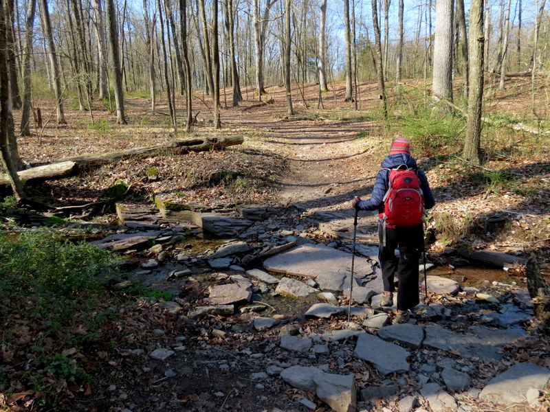
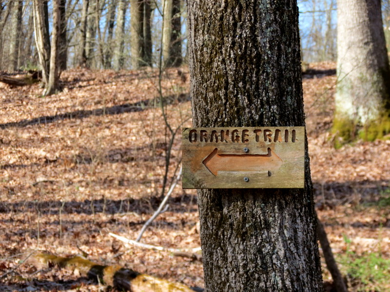
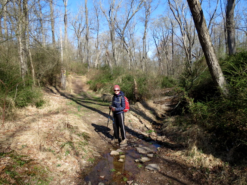
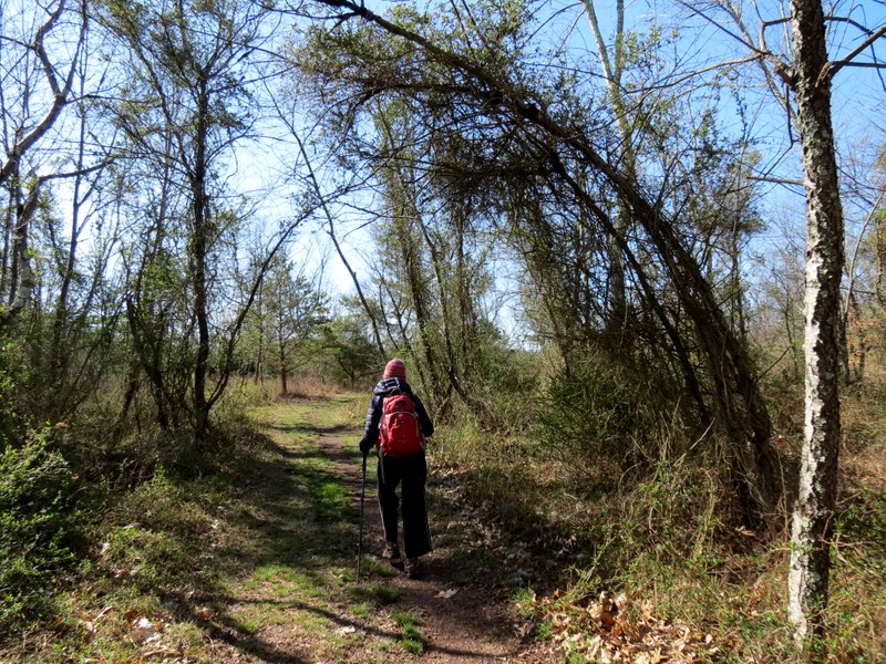
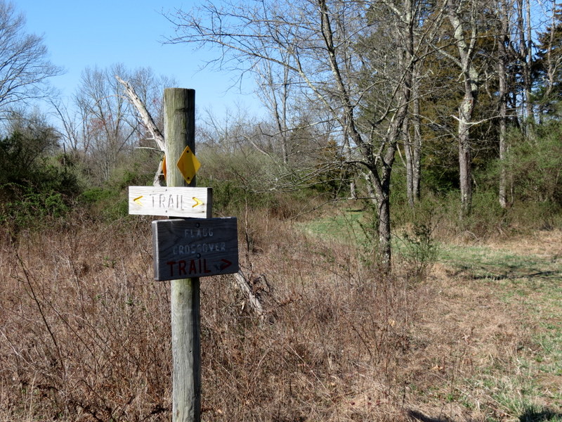
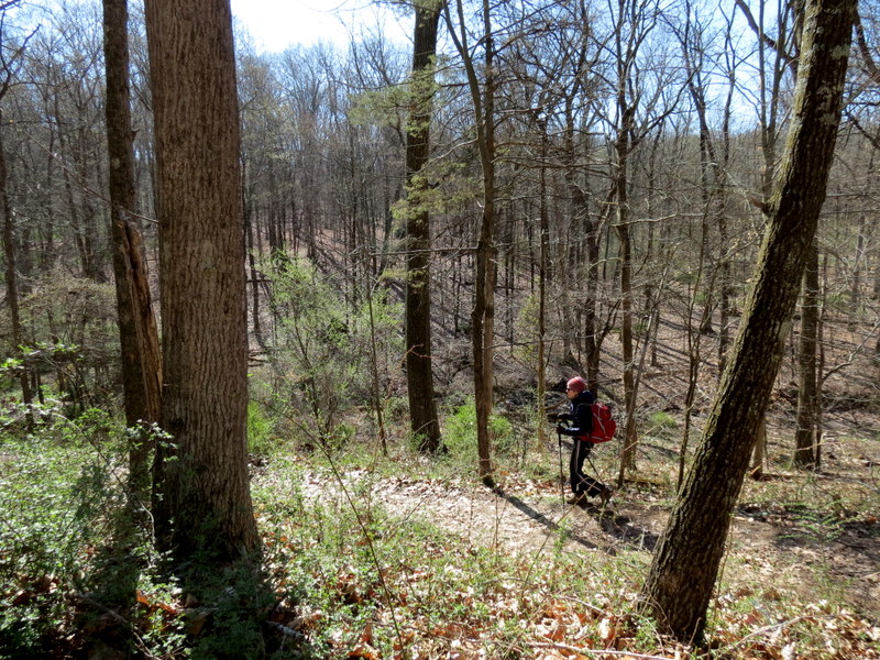
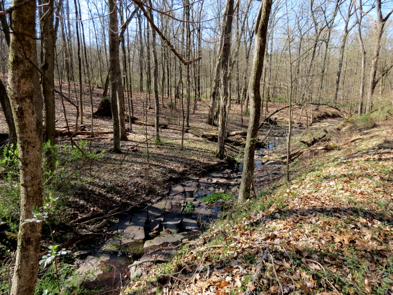
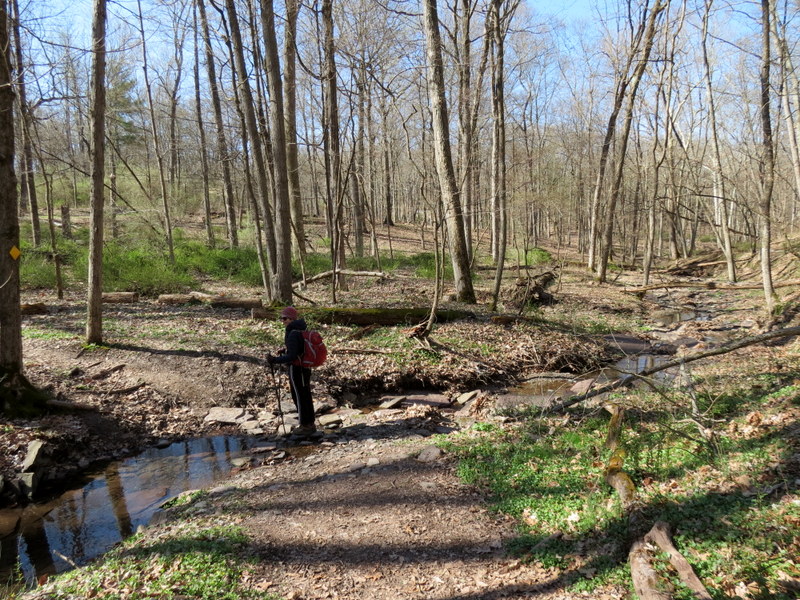
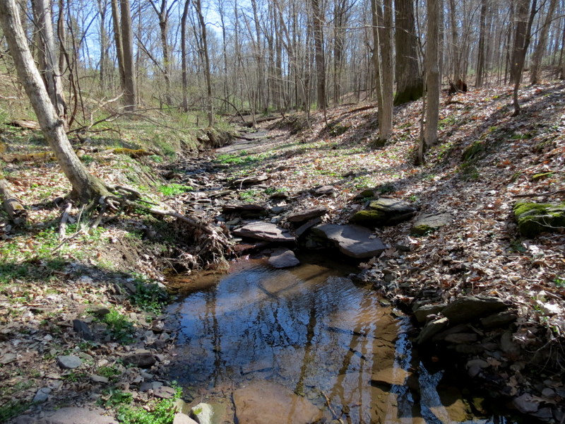
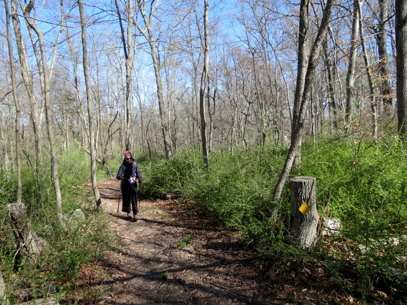
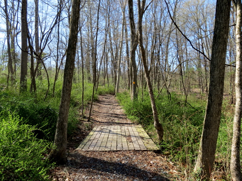
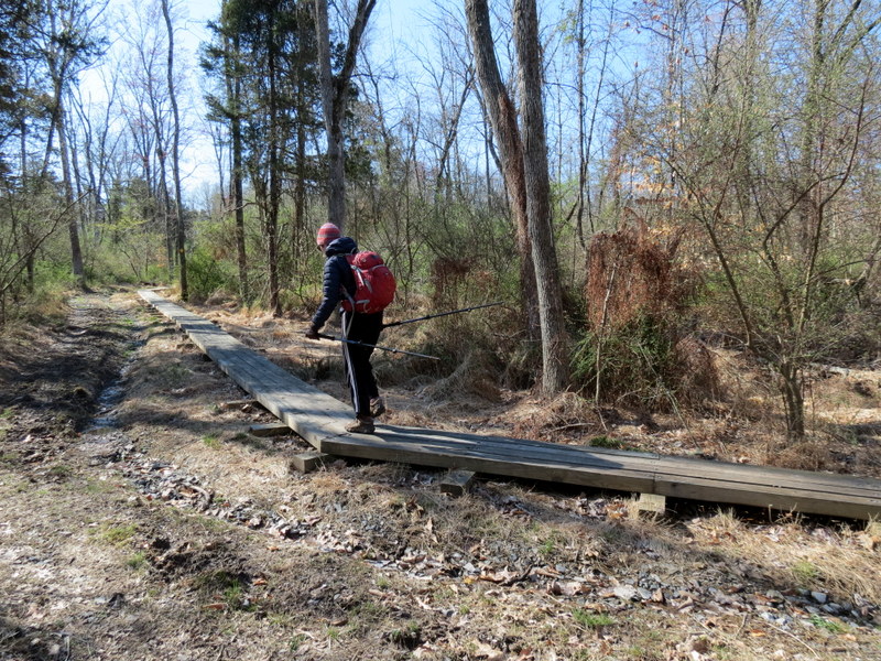
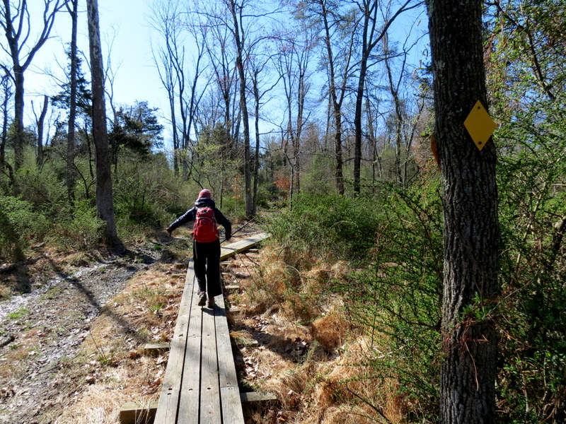
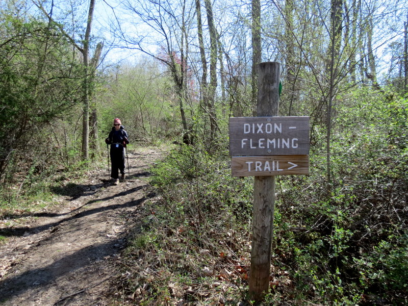
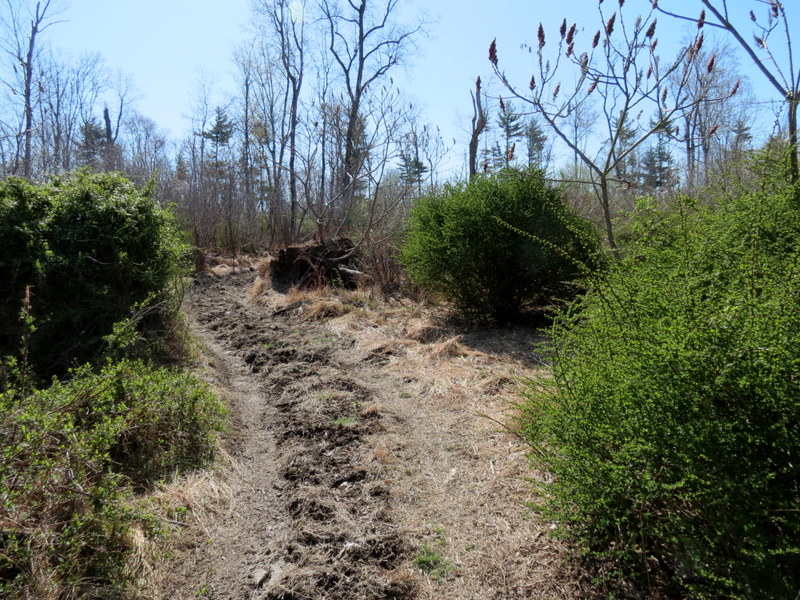
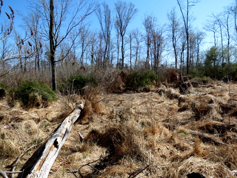
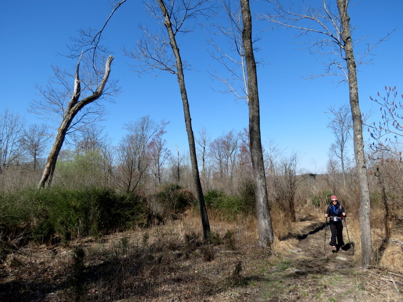
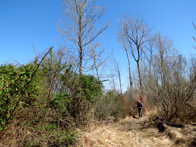
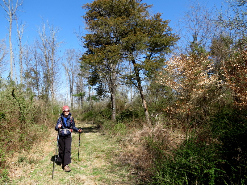
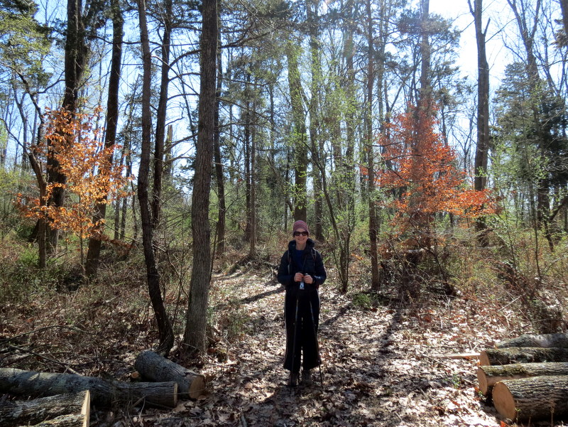
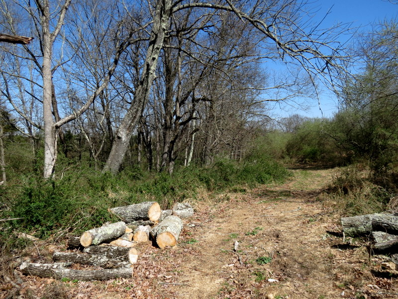
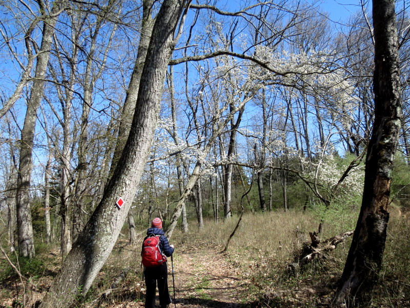
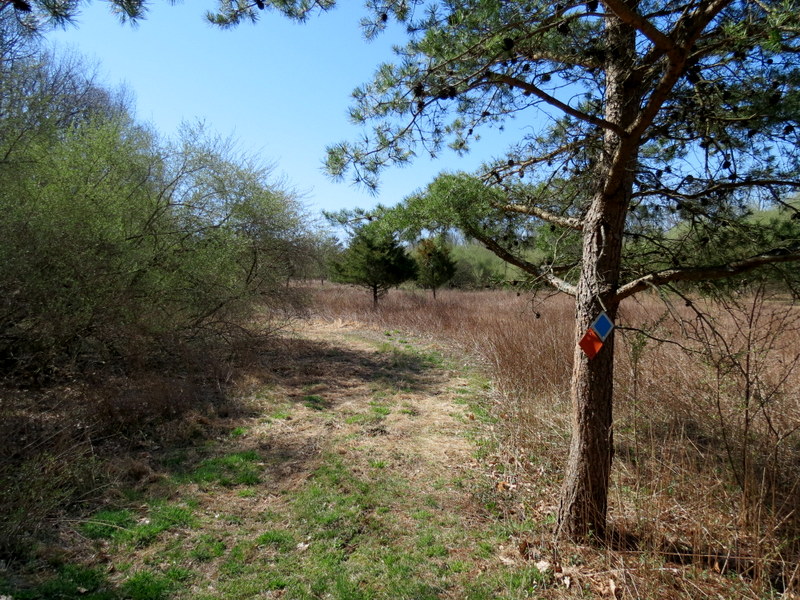
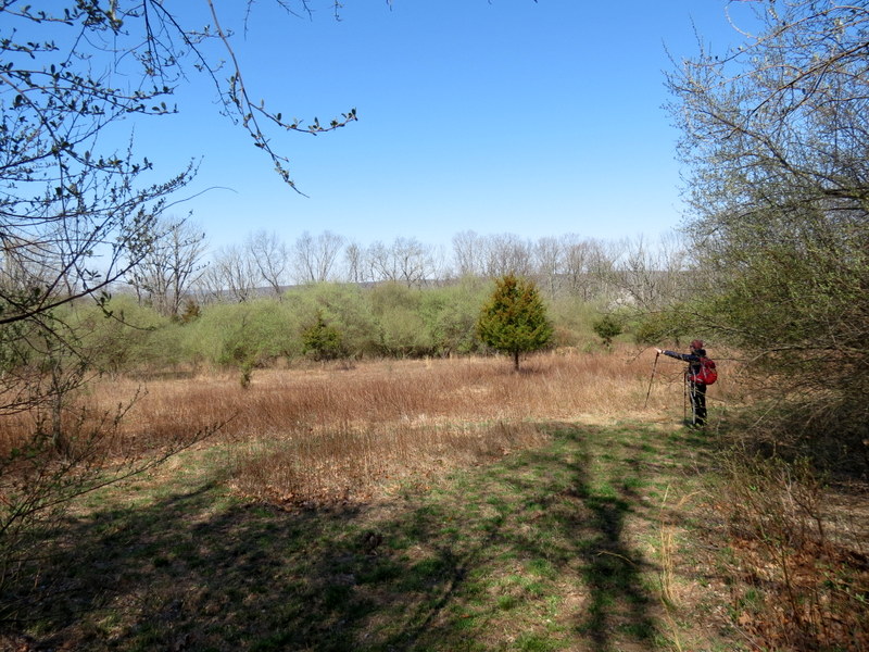
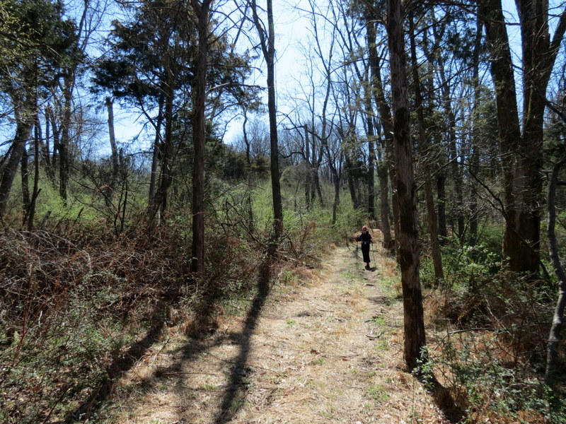
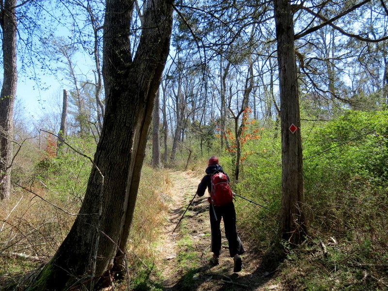
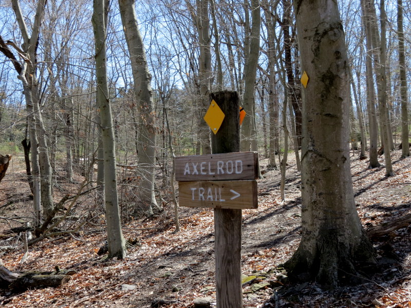
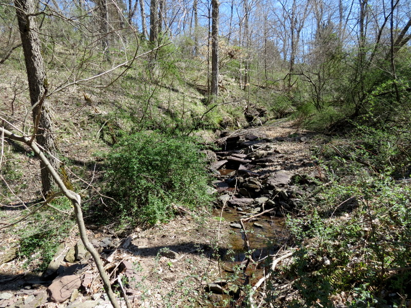
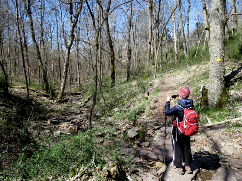
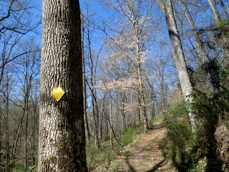
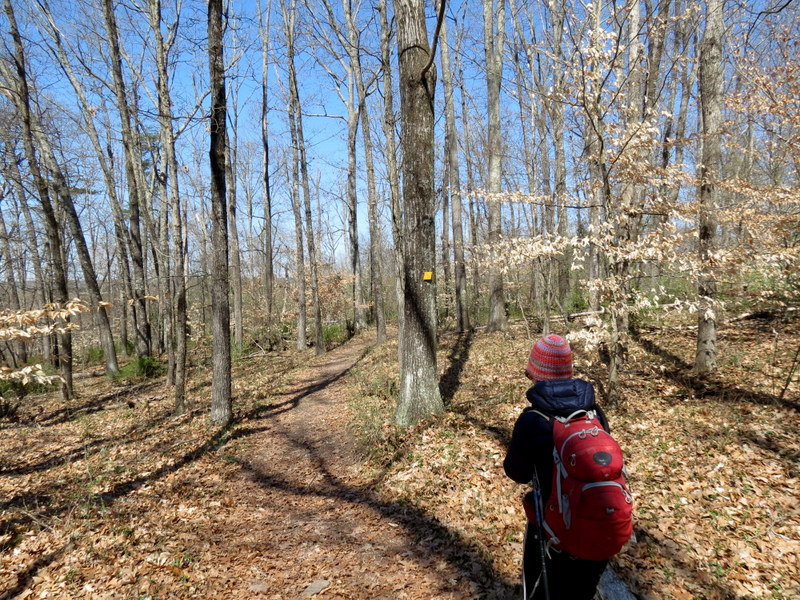
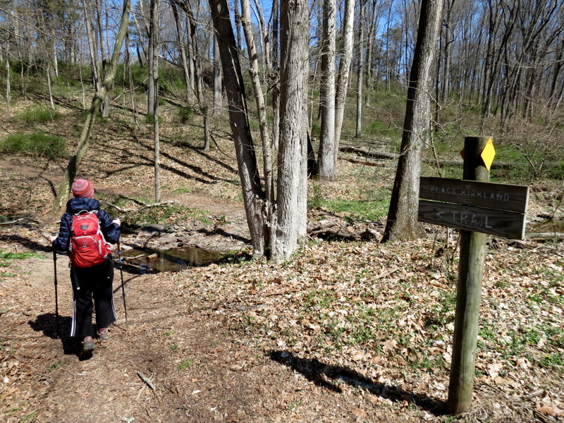
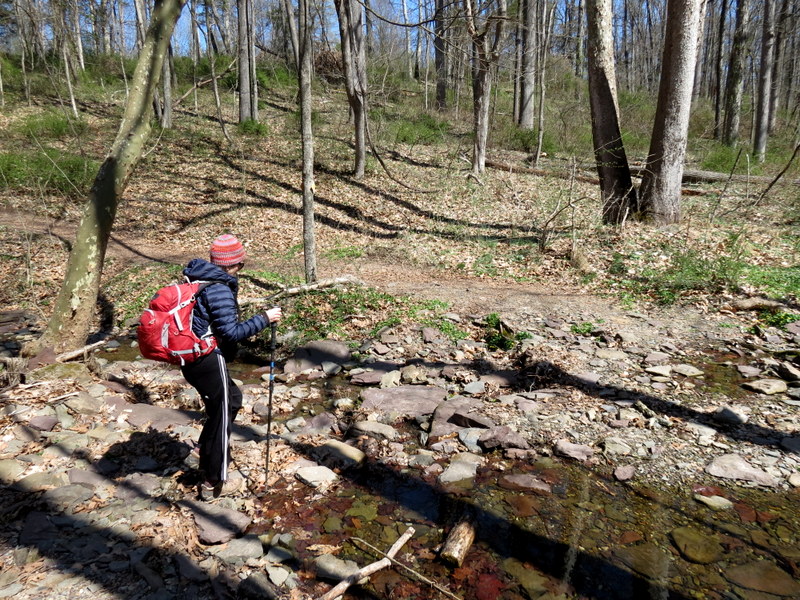
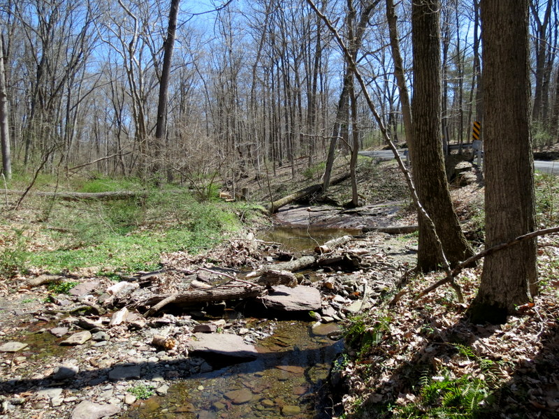
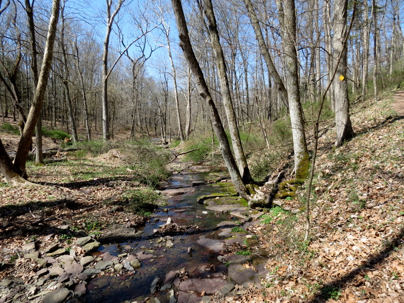
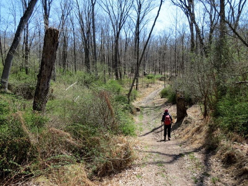
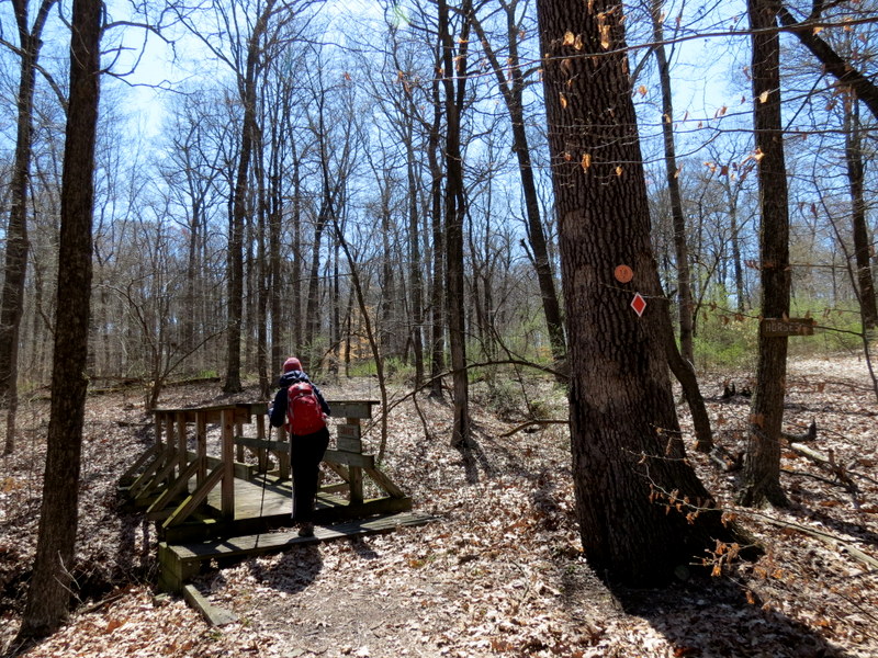
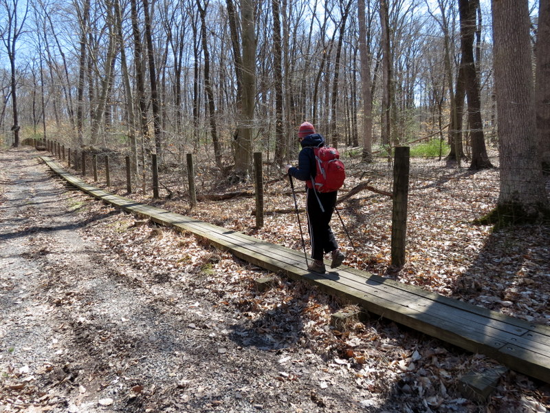
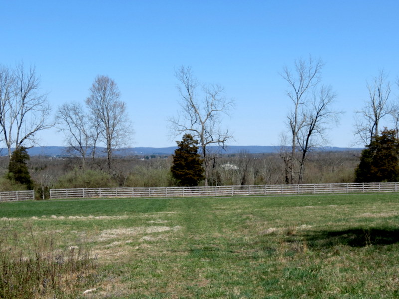
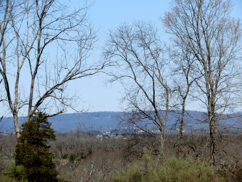
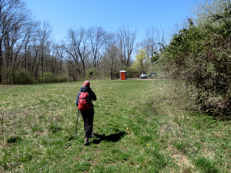
Using this map, we parked in the parking lot closest to the Blue trail and headed north on the western leg of Blue, making a left on Orange and then taking that to Yellow, which we took west and then south in a clockwise direction. At the southern part of Yellow, we continued south on the new green-blazed Dixon-Fleming trail (not on the map). At the southern part of this new trail it changes to Red and becomes the Axelrod trail (none of these names are on the map, but are on prominent signs in the park). This red trail wraps west, and then north, once again meeting with Yellow on the western side. We took a short jaunt along a Blue/Orange trail leading to Jenny's Pond, which was more of a puddle. After we were back on Yellow, we took it all the way to Orange, which we took south, before turning north on a woods road (marked with a dashed line on the map) backl to the car. You can see our track here. Total distance hiked today was 5.5 miles in two hours and forty-five minutes.
(Click on the thumbnail to bring up a bigger image in a pop-up window)
|
 |
 |
 |
 |
 |
 |
 |
 |
 |
 |
 |
 |
 |
 |
 |
 |
 |
 |
 |
 |
 |
 |
 |
 |
 |
 |
 |
 |
 |
 |
 |
 |
 |
 |
 |
 |
 |
 |
 |
 |
 |
 |
 |
 |
 |
 |
 |
 |
 |
 |
 |
 |
 |
 |
 |
 |
 |
 |
 |
 |

|
|
Photographs and content copyright © Dan Balogh Web design by Dan Balogh |