 |
|
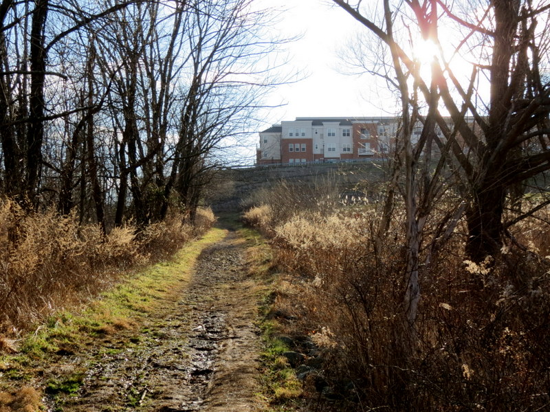
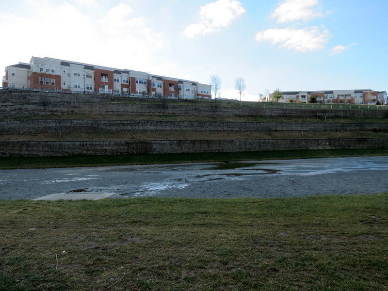
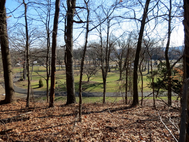
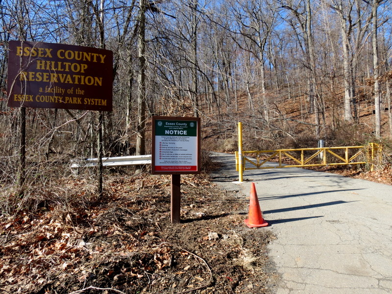
The first and last time we hiked this reservation was back in 2011, while the apartment building south
of the area was being constructed. At that time we parked at the Verona Community Center and followed the paths along perimeter of the reservation. After finding an
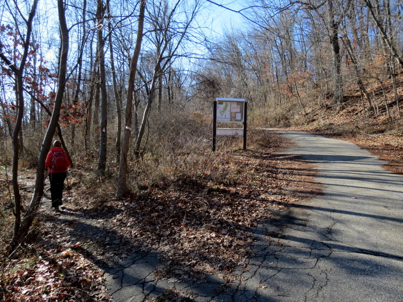
updated map, with new trails since 2011, we decided to return today to explore a bit more.
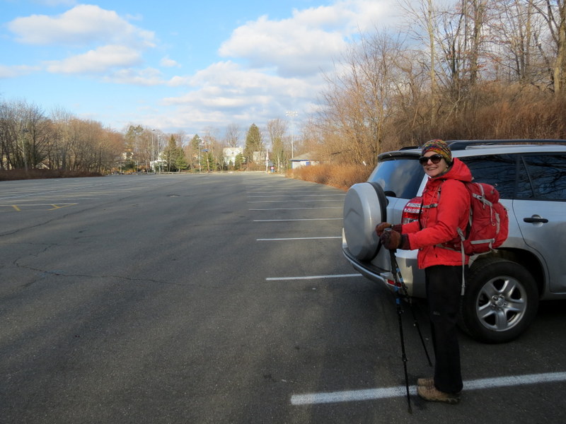
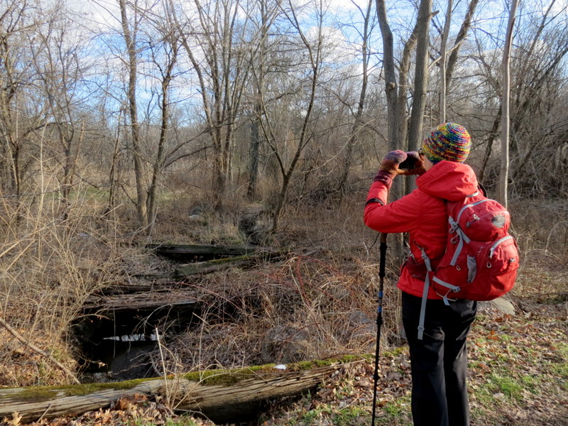
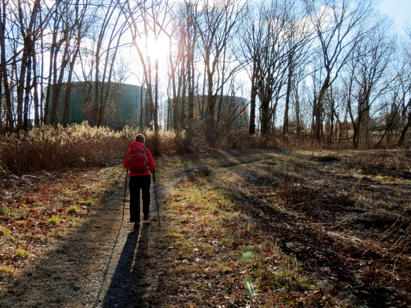
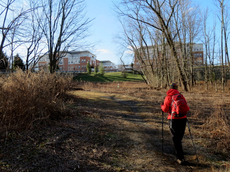
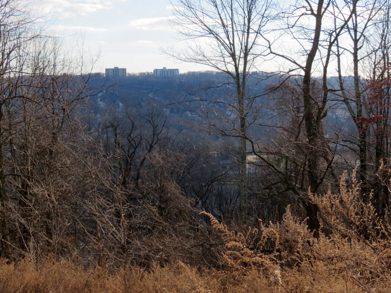
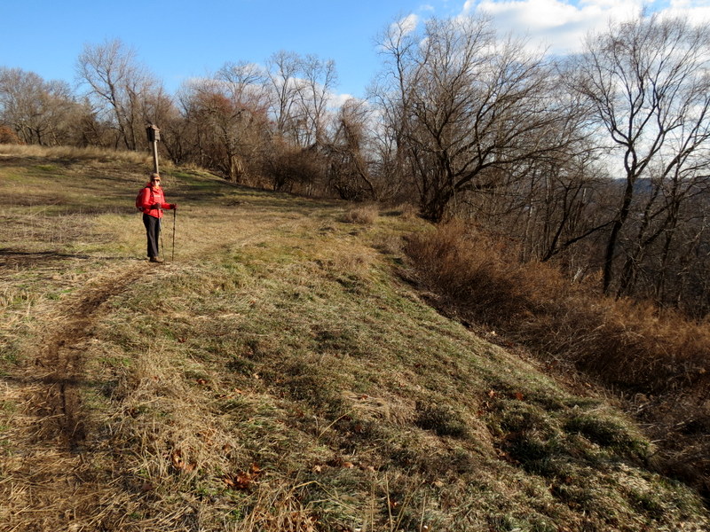
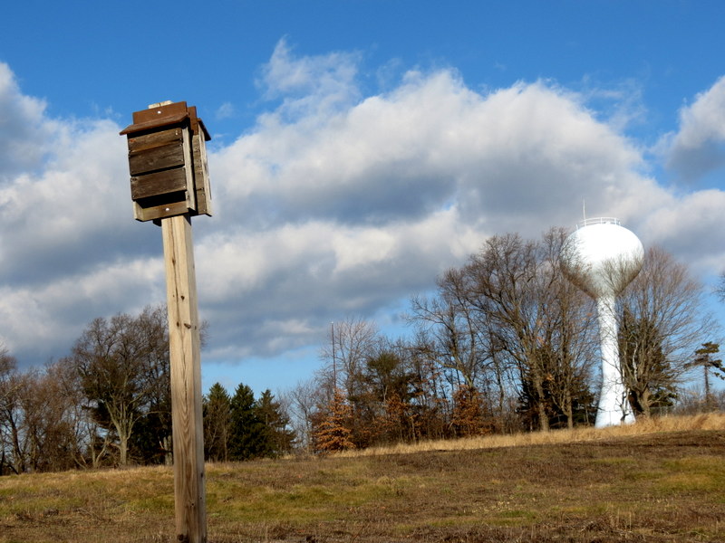
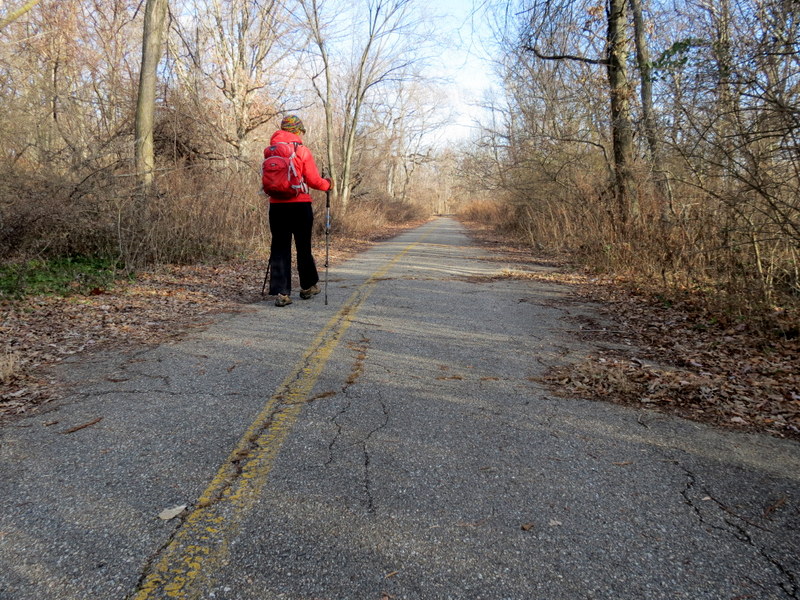
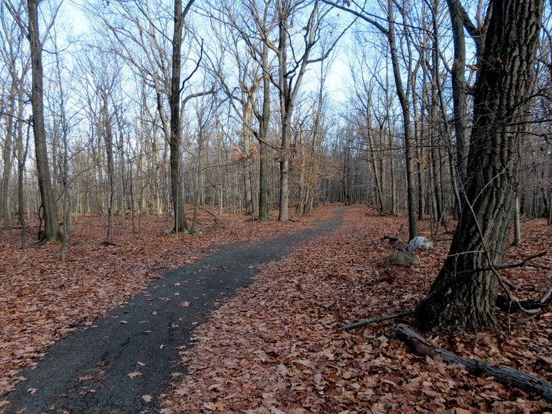
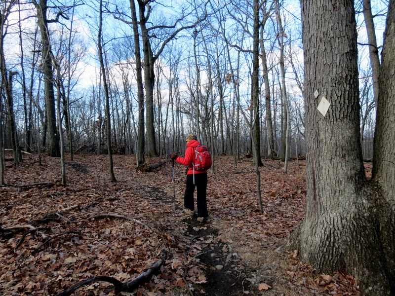
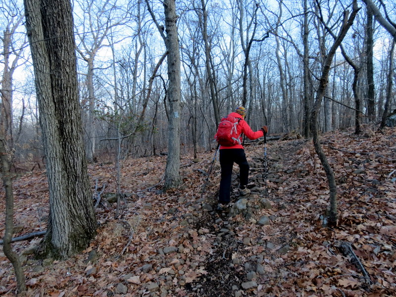
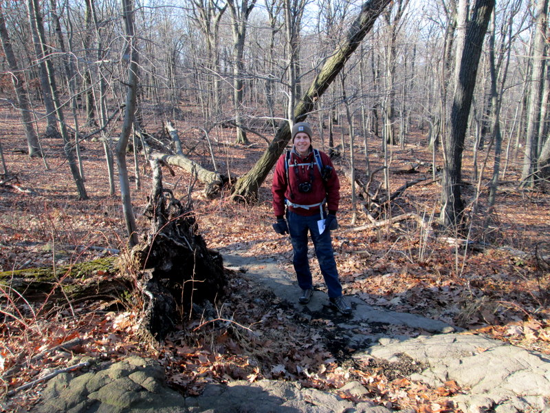
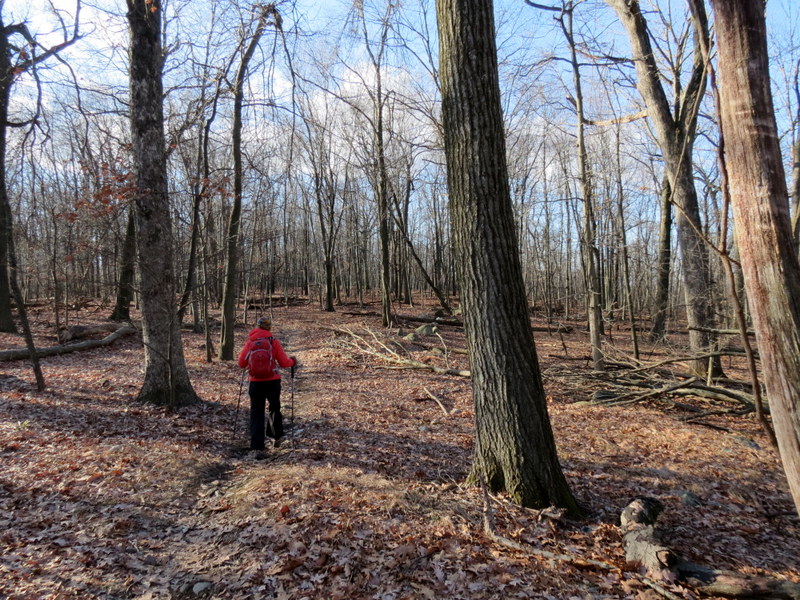
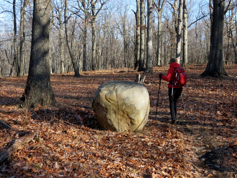
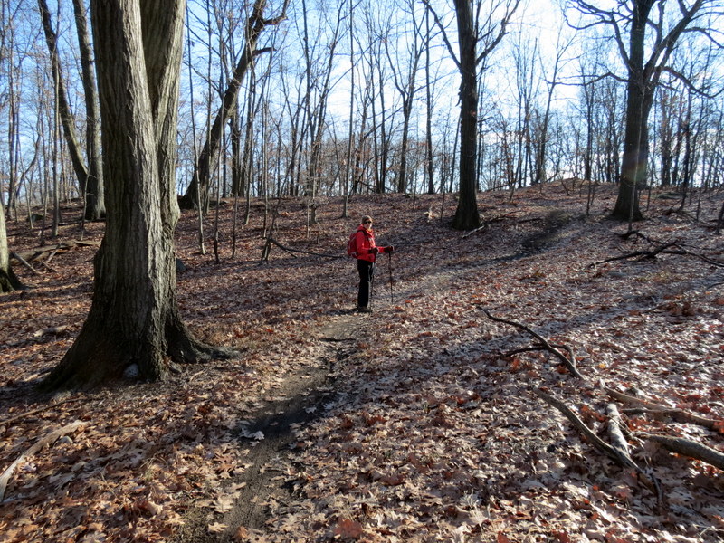
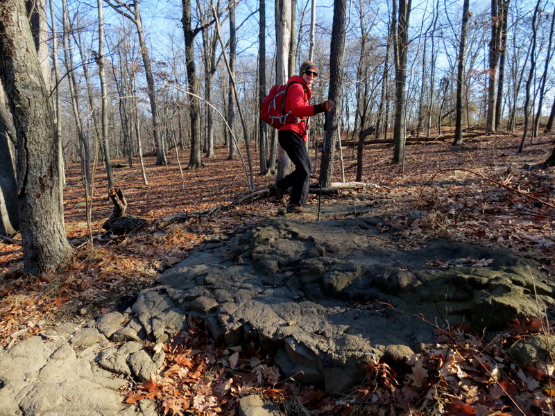
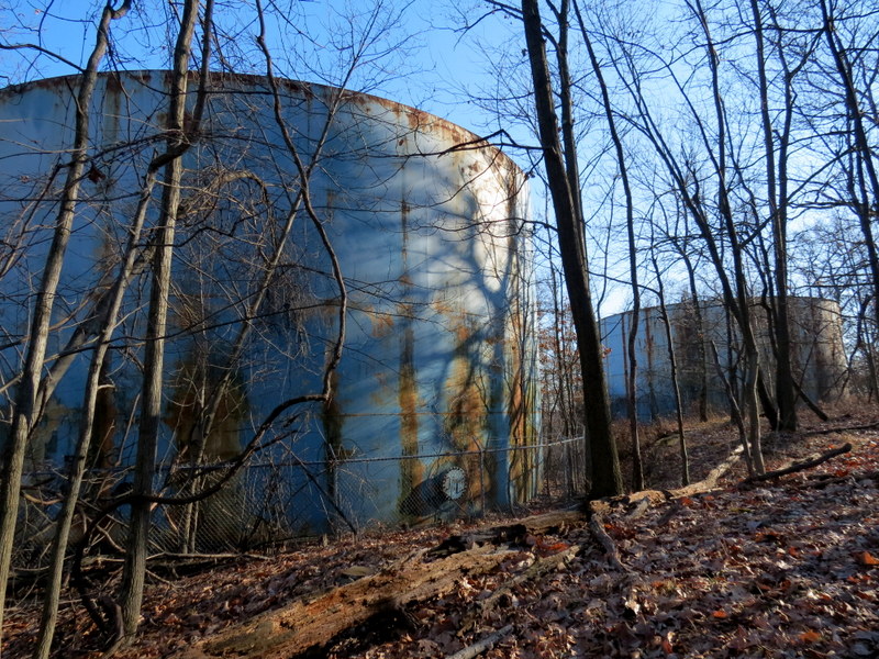
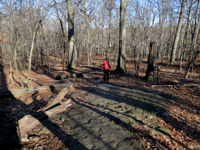
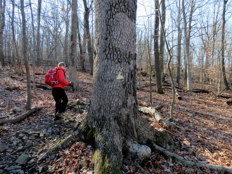
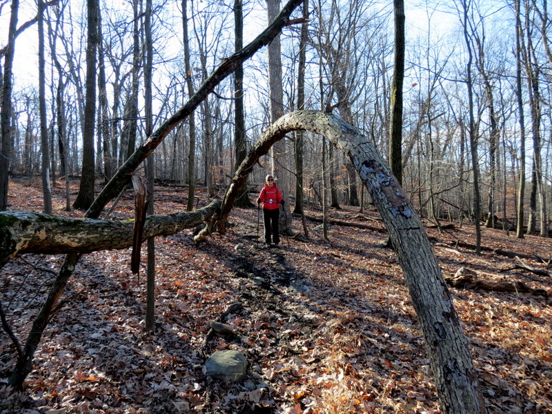
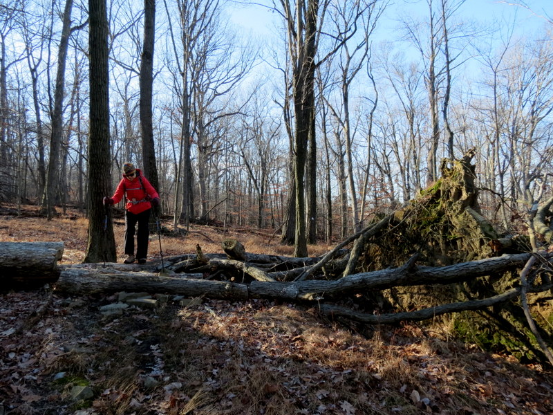
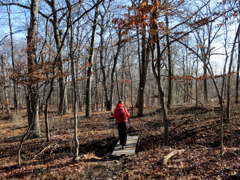
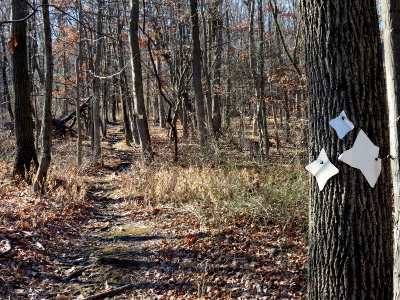
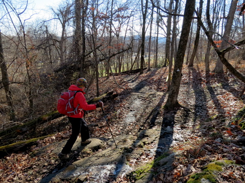
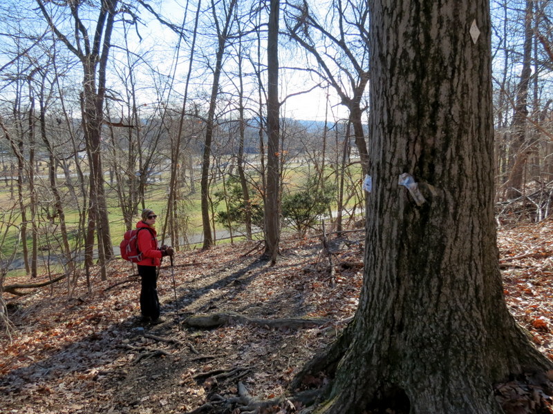
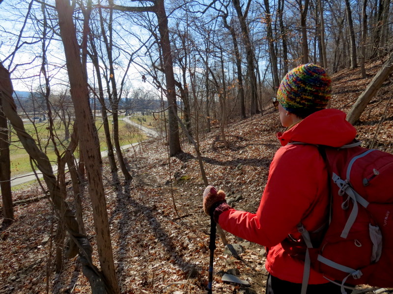
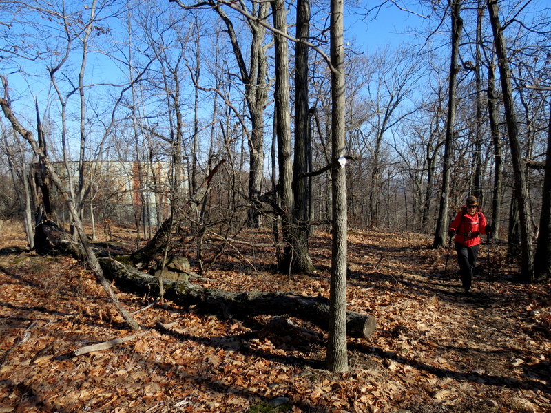
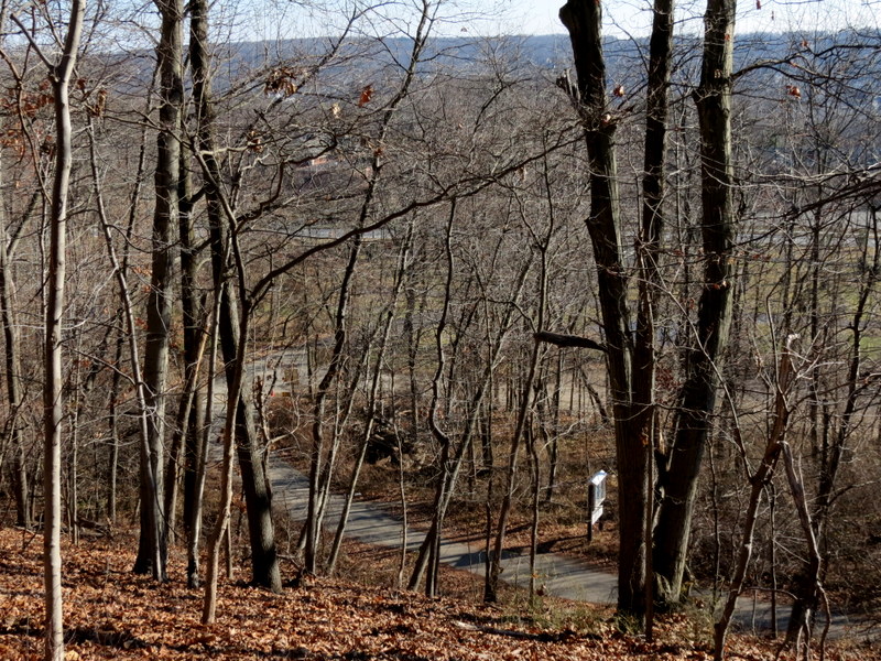
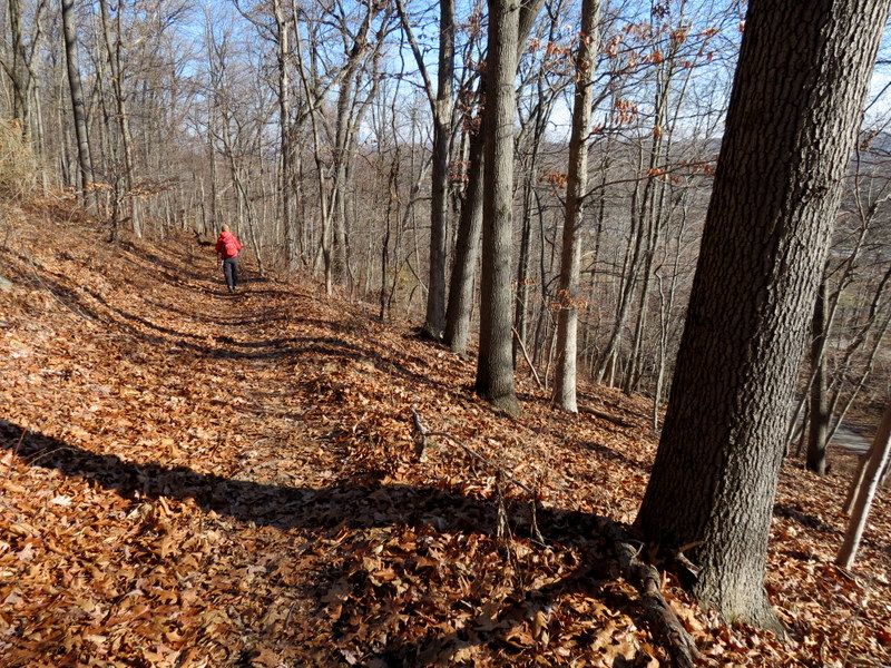
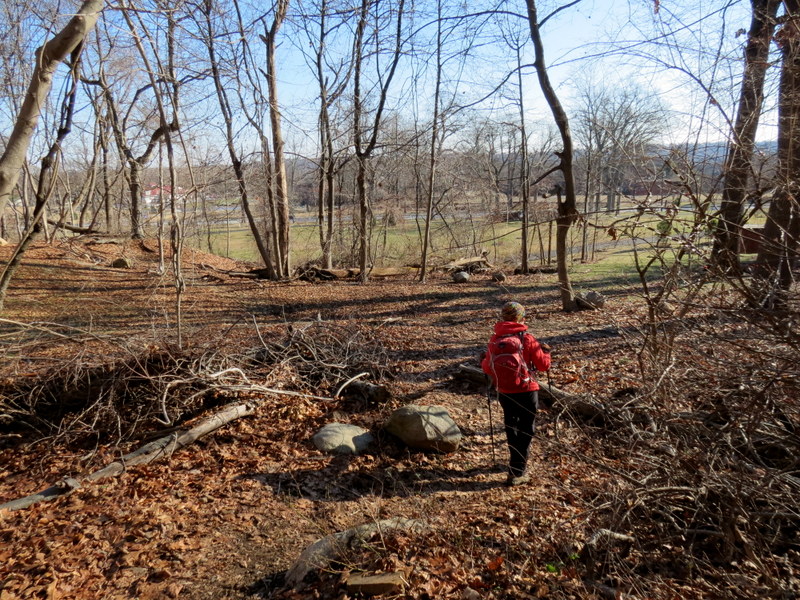
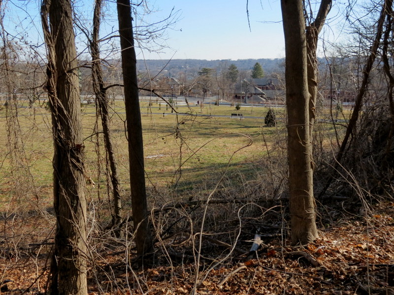
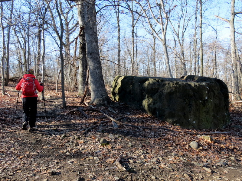
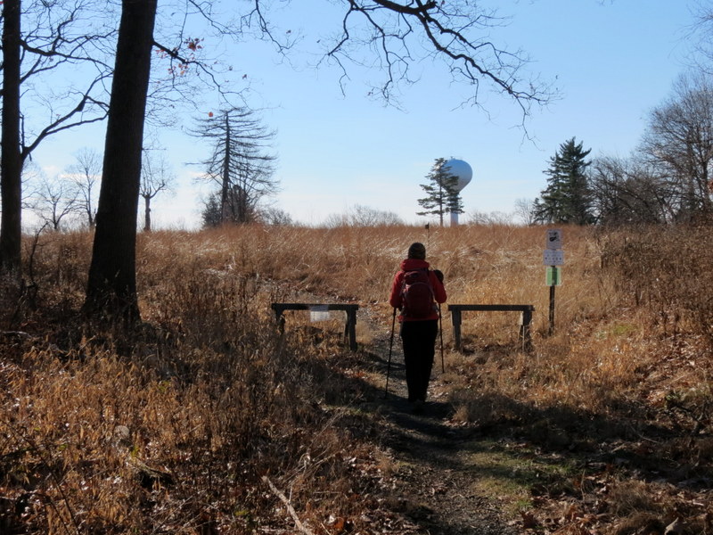
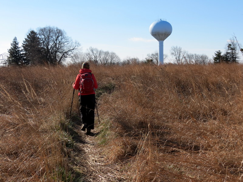
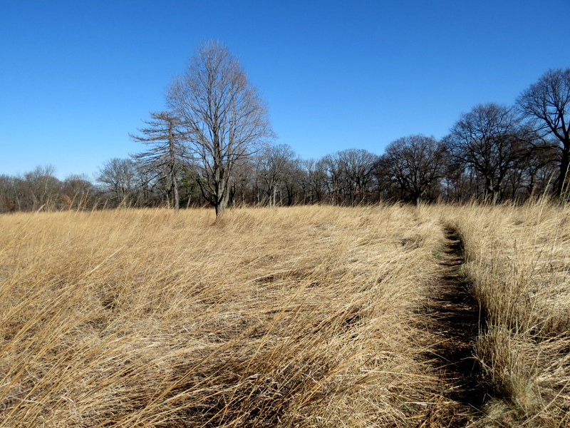
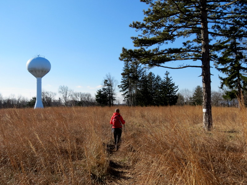
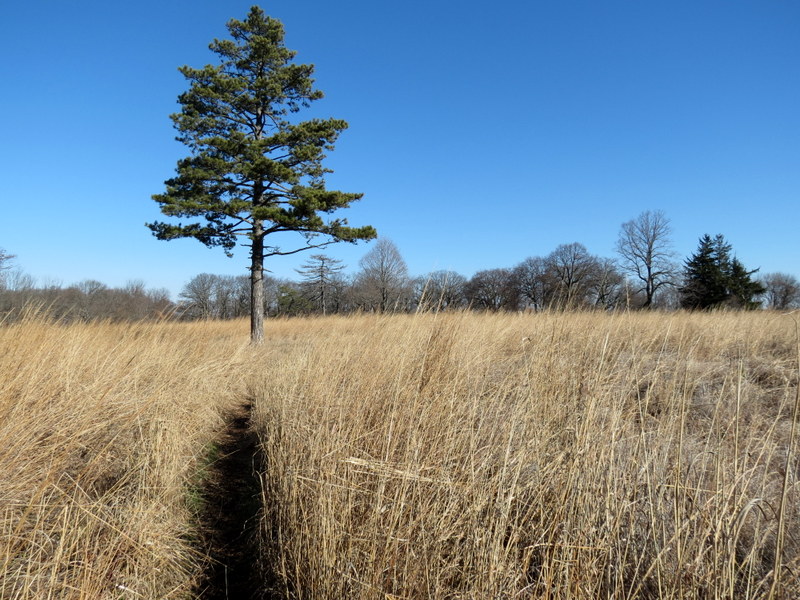
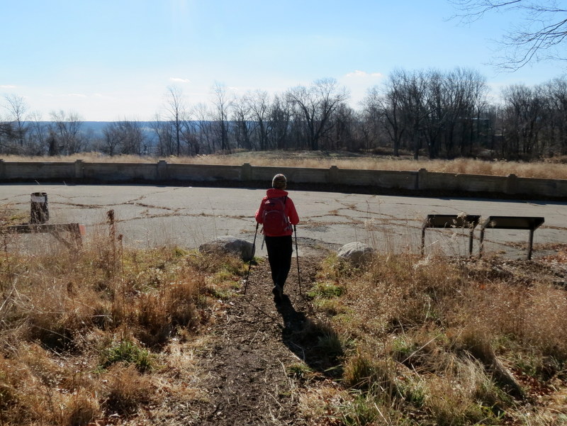
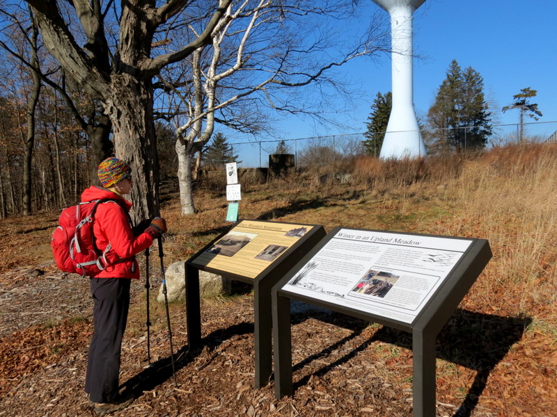
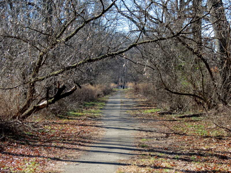
Using this map, this time we parked at the Western Park Entrance (on Courter Lane) and headed into the reservation on an old paved road (denoted Red on the map). It should be noted that while the map has colors, the trails in the woods are blazed with the shapes on the map. At the water tank we headed north on Orange trail, then along the eastern leg of the old sanitarium loop road, zig-zagging to reach the trail denoted Light Blue on the map. This we took to its northern end, exploring a bit of the inner Red trail before continuing east at the northern tip of the park. On Orange we headed south, then east and north on the Green trail to an alternate parking area. We continued south on Brown, then west on Yellow until we reached the Meadow trail, one of the most beautiful in the park, passing near the tall water tower. At the water tanks (from earlier), we retraced our steps back to the car. Total distance hiked today was 4.7 miles in 2 hours and 40 minutes.
|
 |
 |
 |
 |
 |
 |
 |
 |
 |
 |
 |
 |
 |
 |
 |
 |
 |
 |
 |
 |
 |
 |
 |
 |
 |
 |
 |
 |
 |
 |
 |
 |
 |
 |
 |
 |
 |
 |
 |
 |
 |
 |
 |
 |
 |
 |
 |
 |
 |
 |
 |
 |
 |
 |
 |
 |
 |
 |
 |
 |
 |
 |
 |
 |
 |
 |
 |
 |

|
|
Photographs and content copyright © Dan Balogh Web design by Dan Balogh |