 |
|
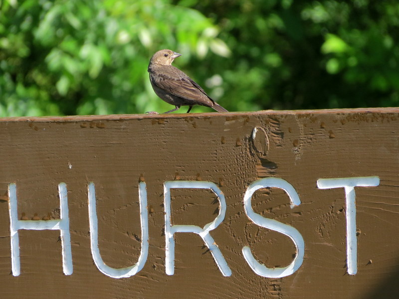
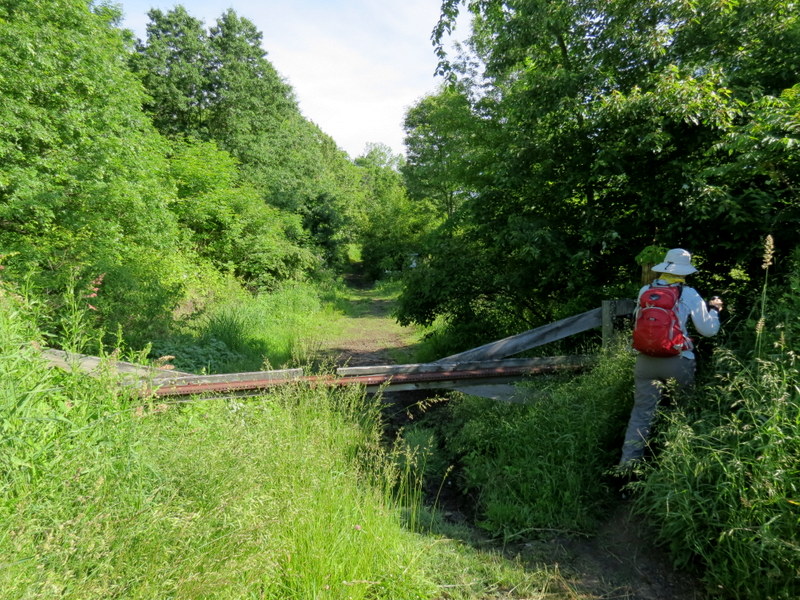
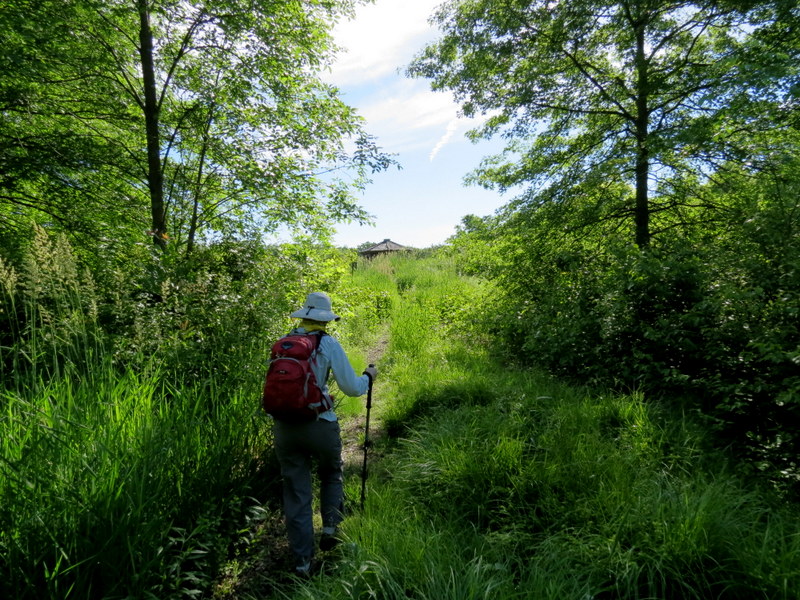
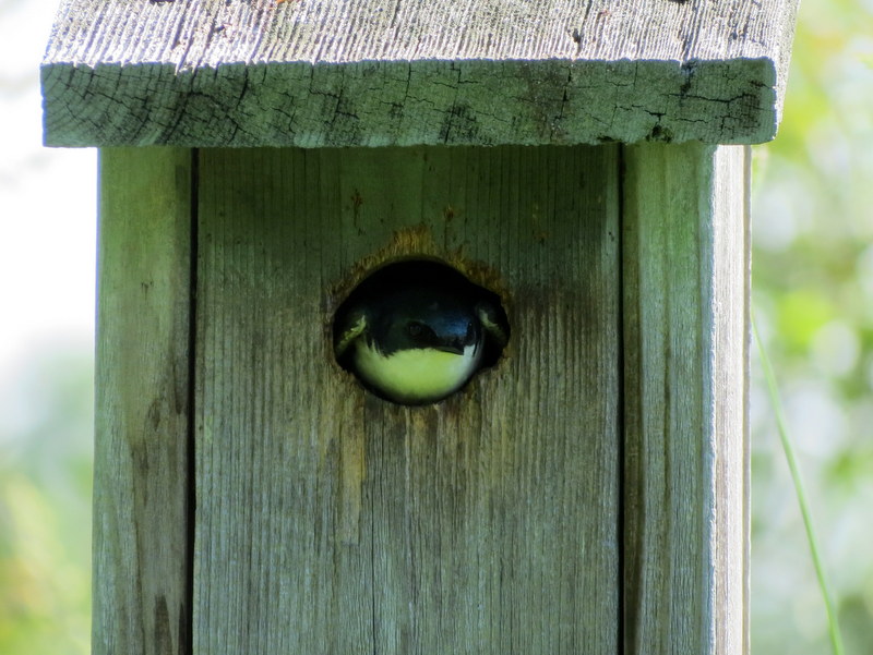
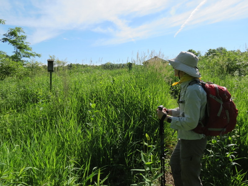
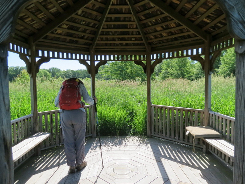
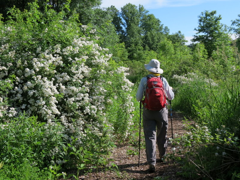
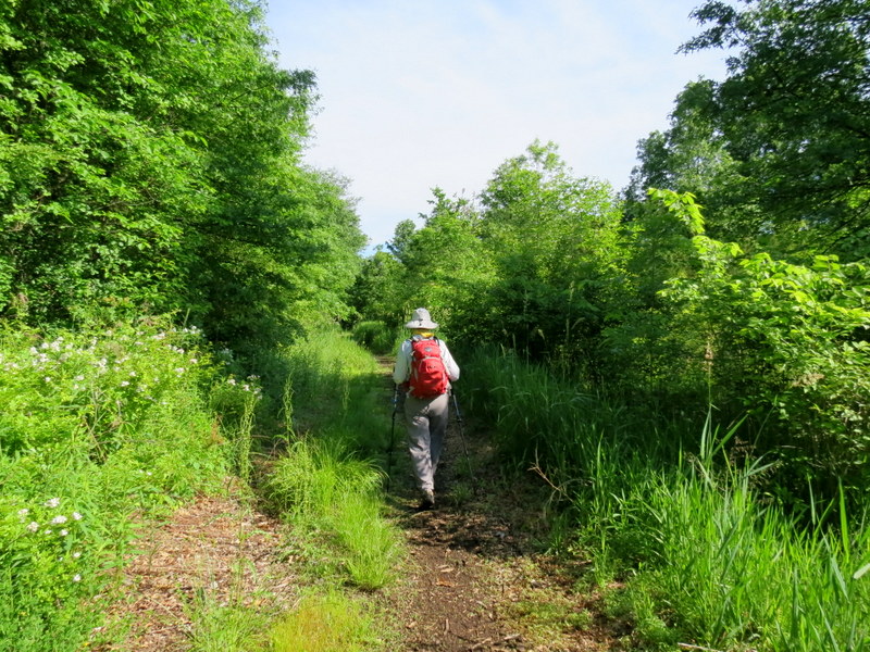
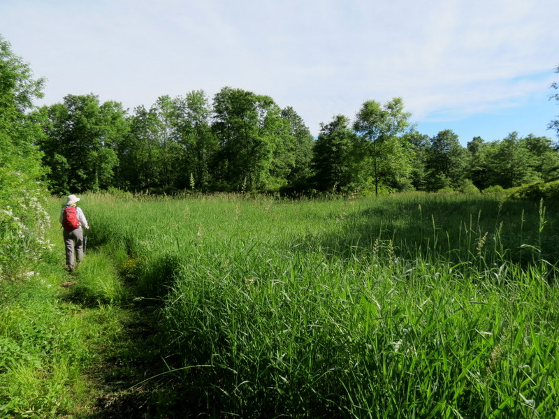
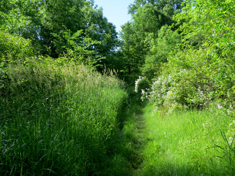
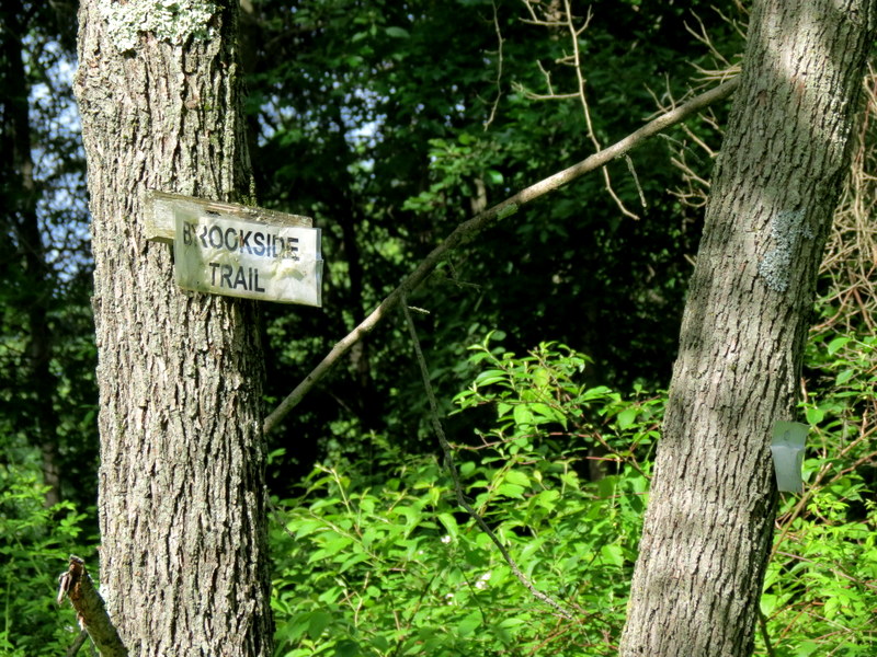
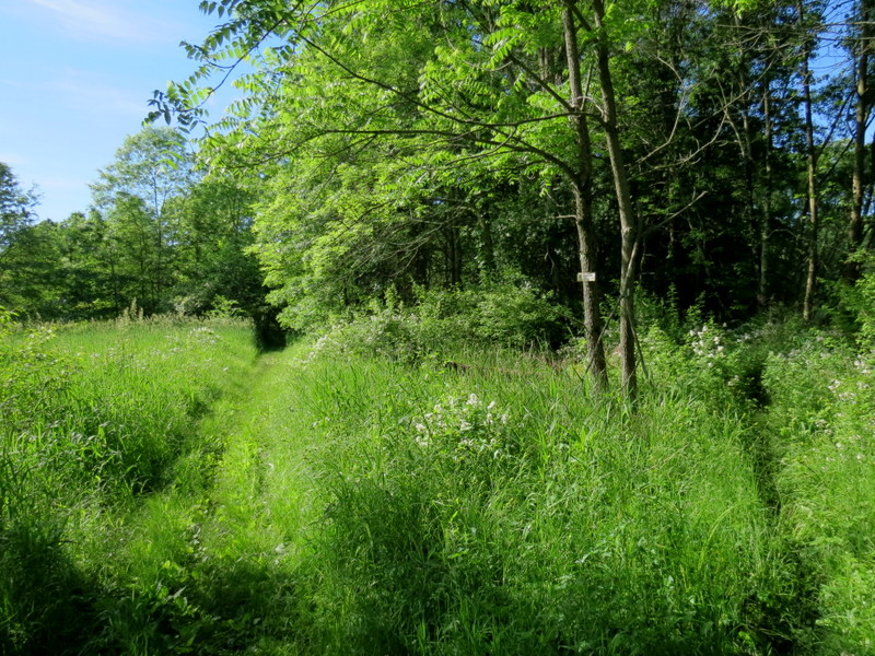
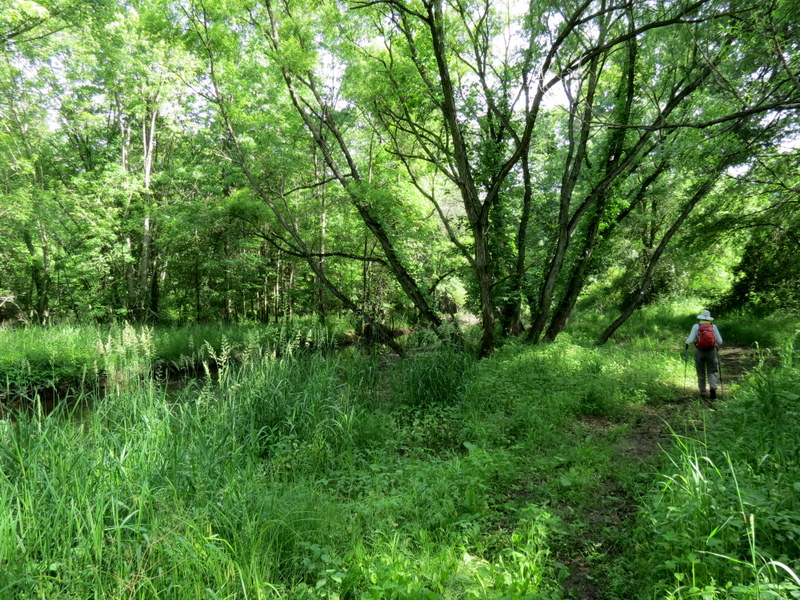
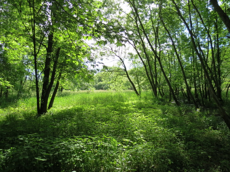
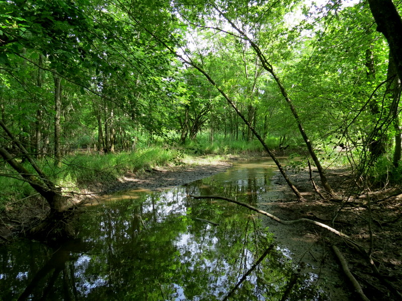
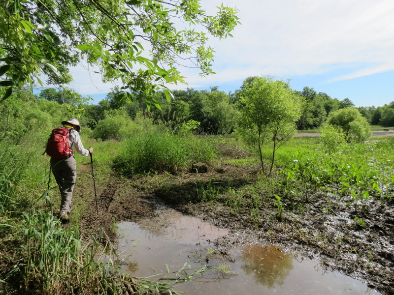
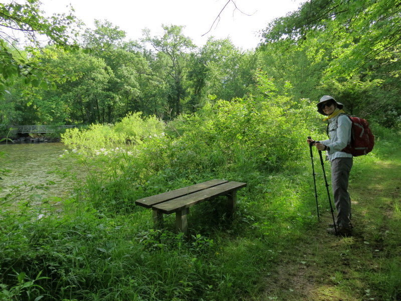
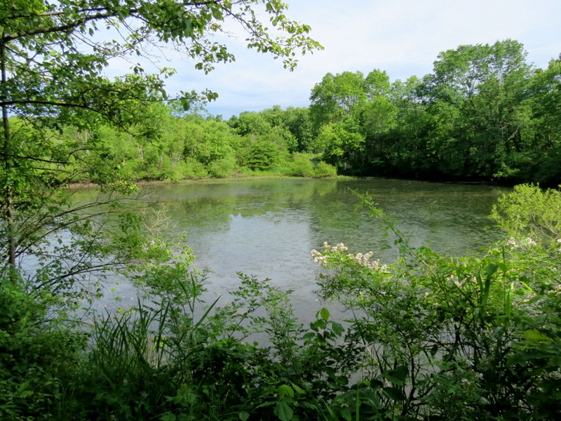
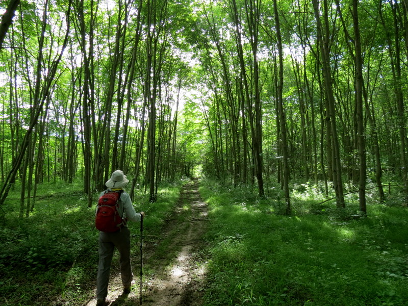
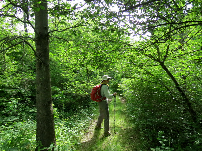
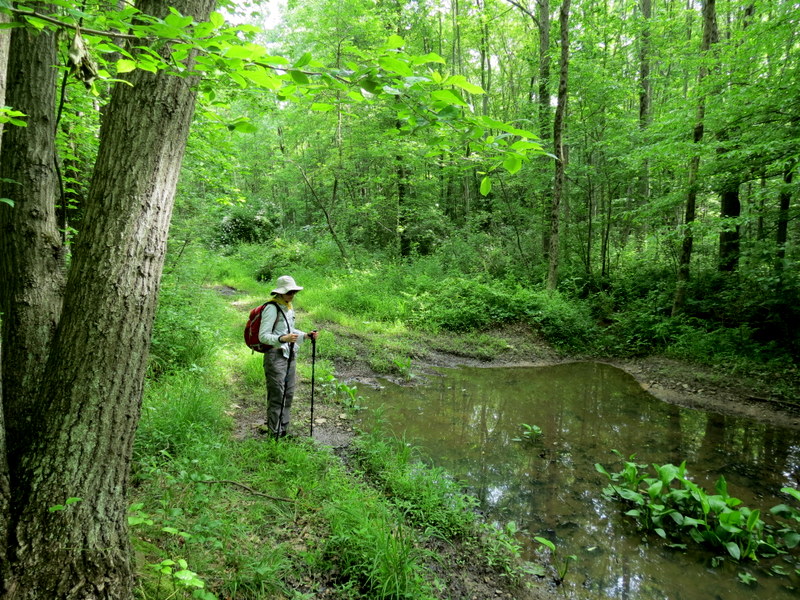
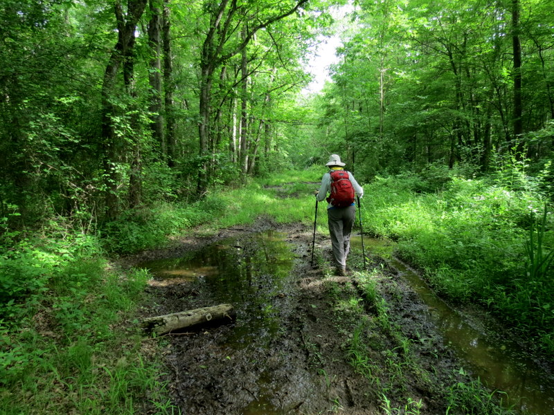
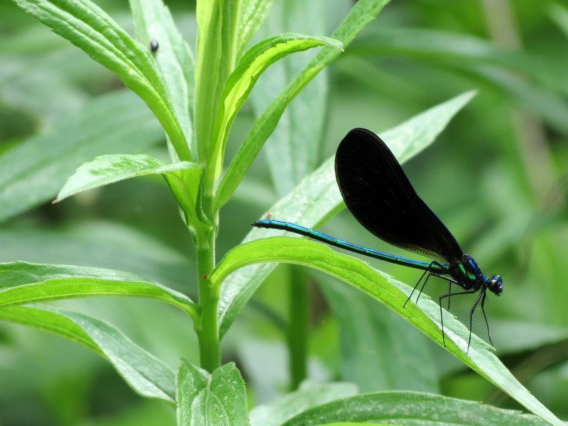
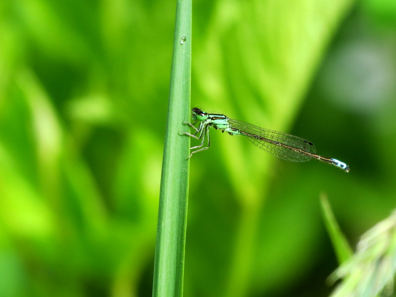
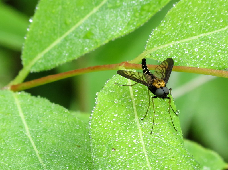
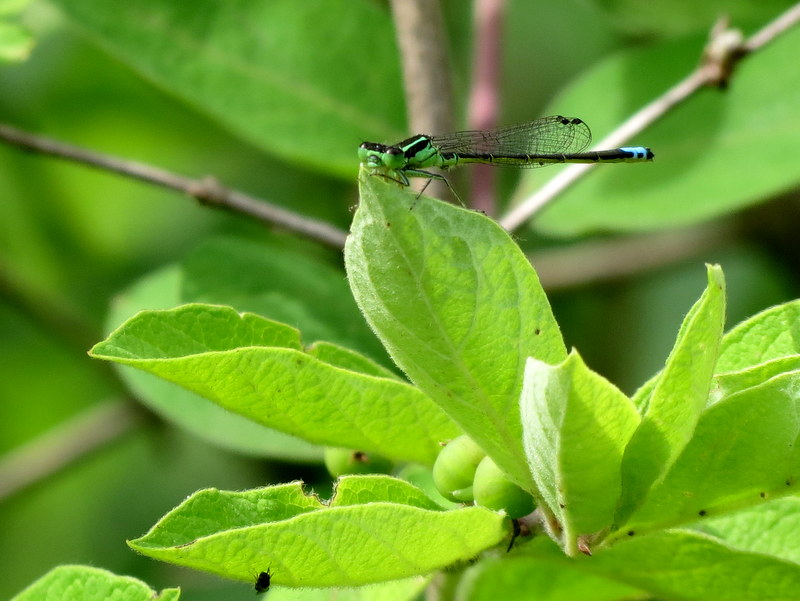
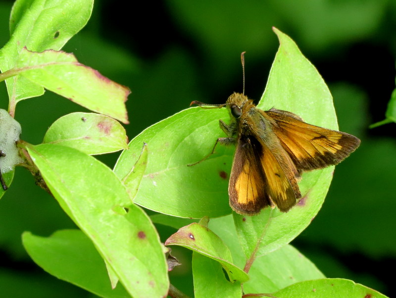
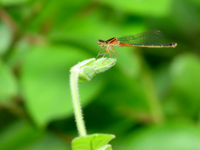
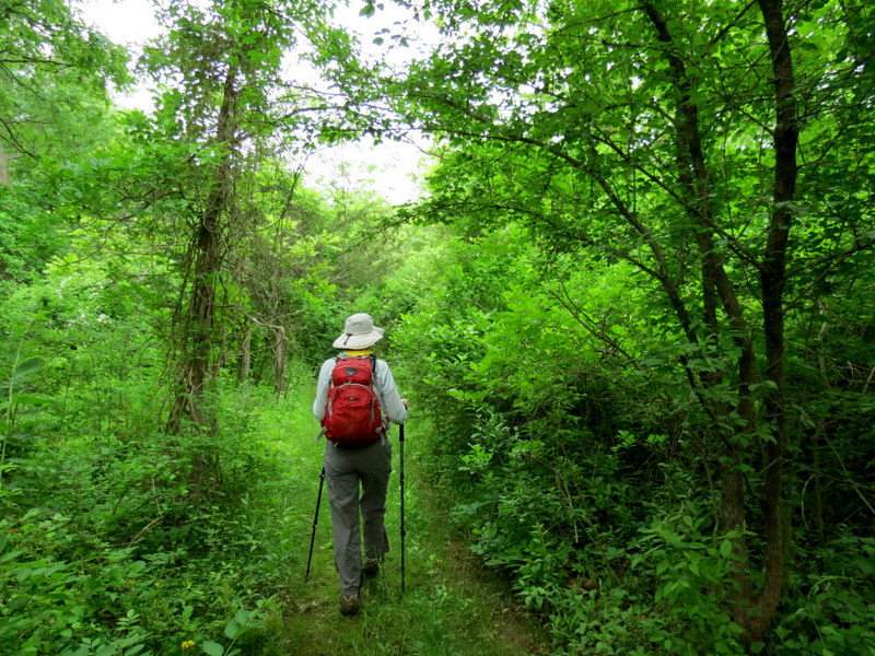
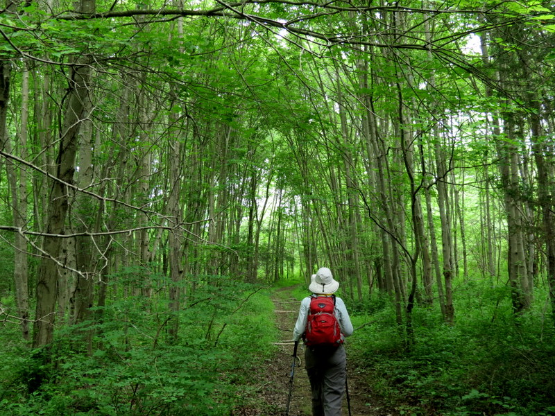
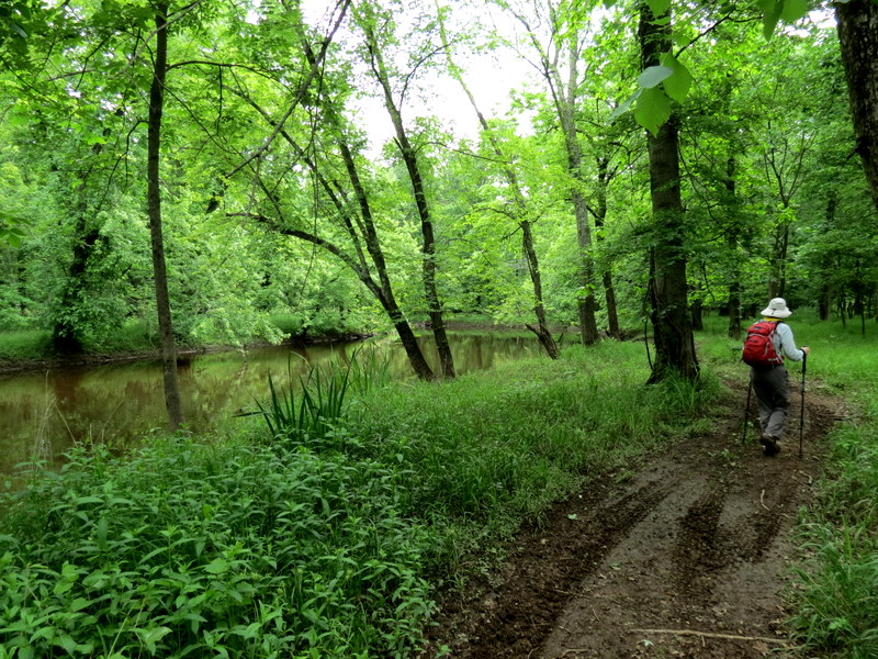
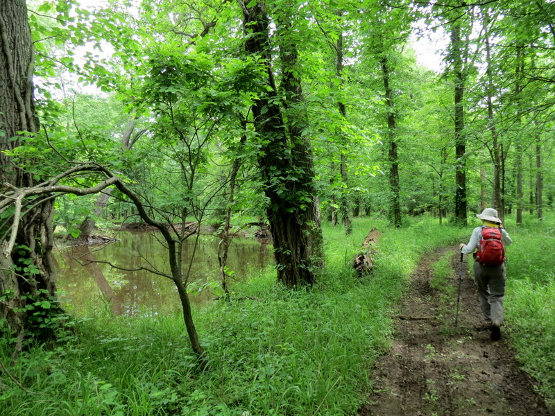
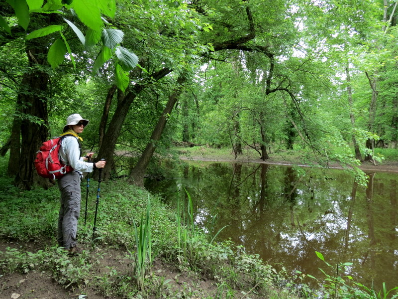
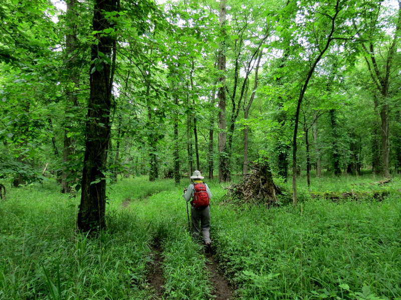
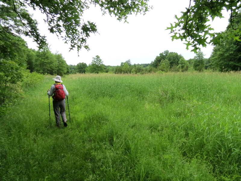
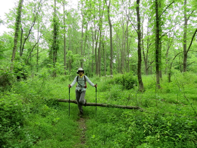
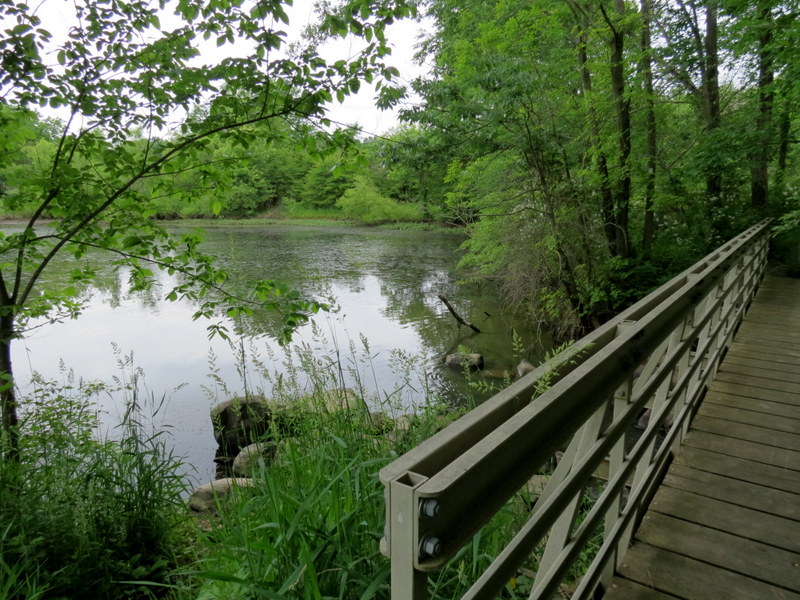
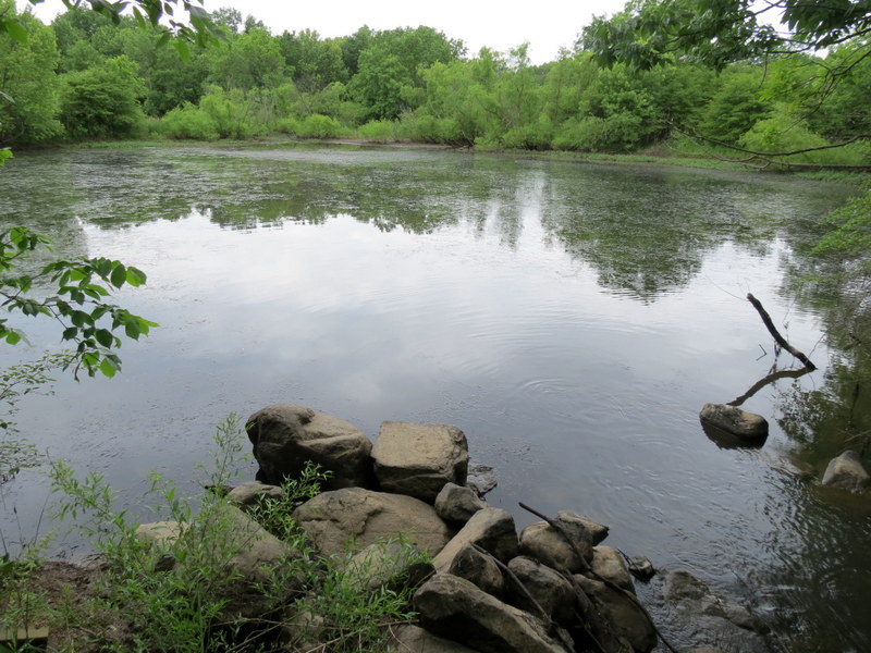
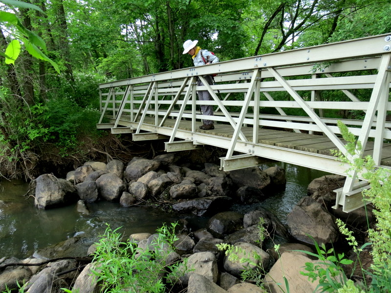
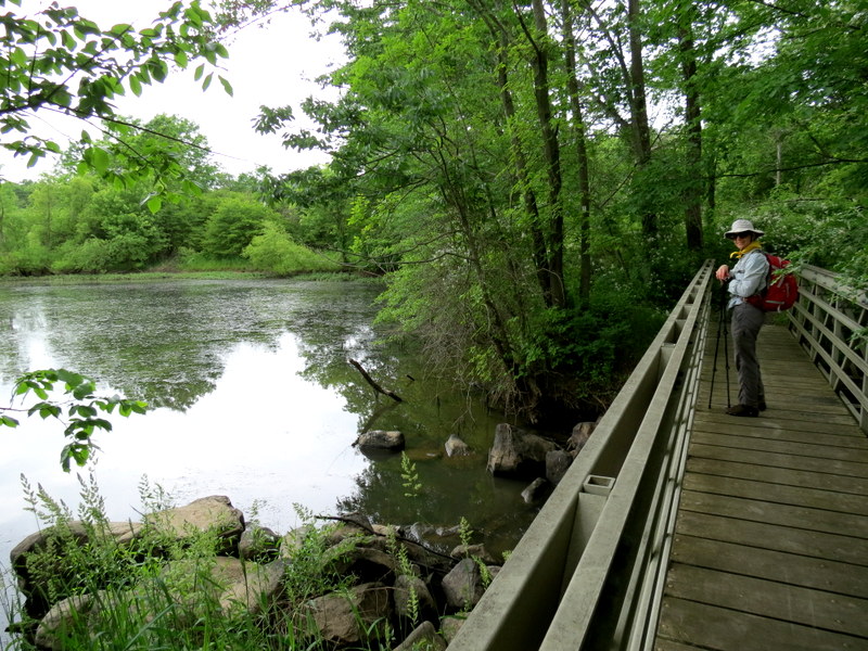
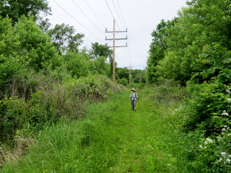
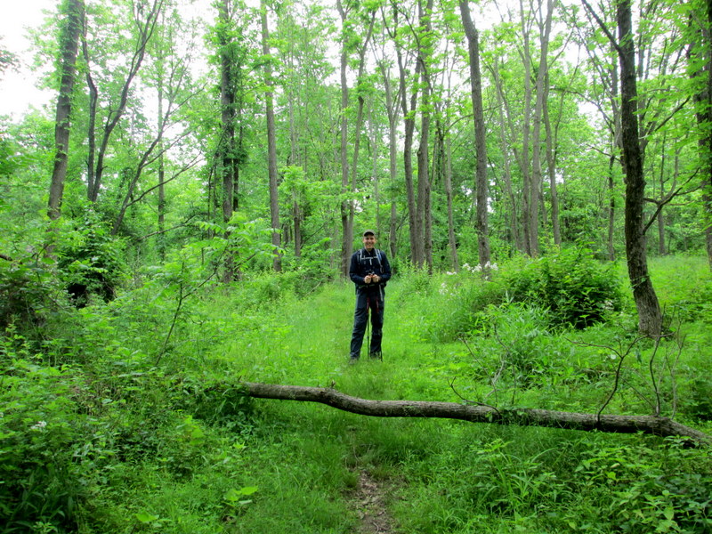
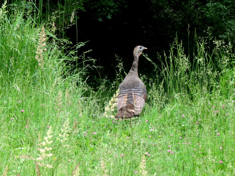
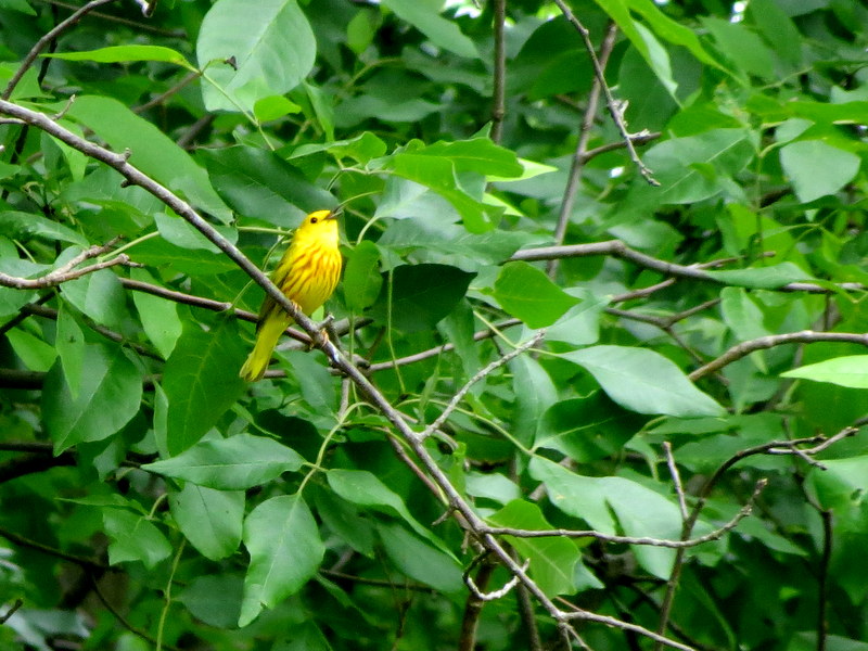
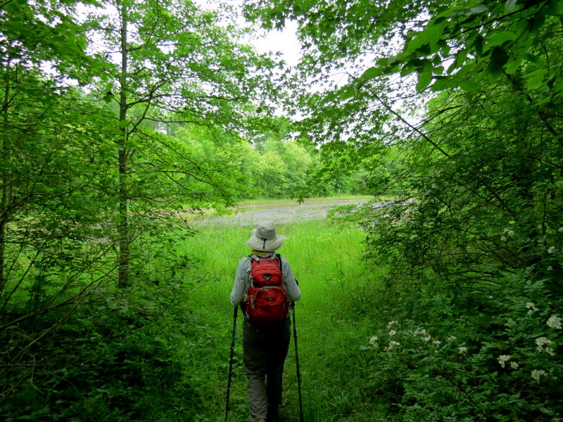
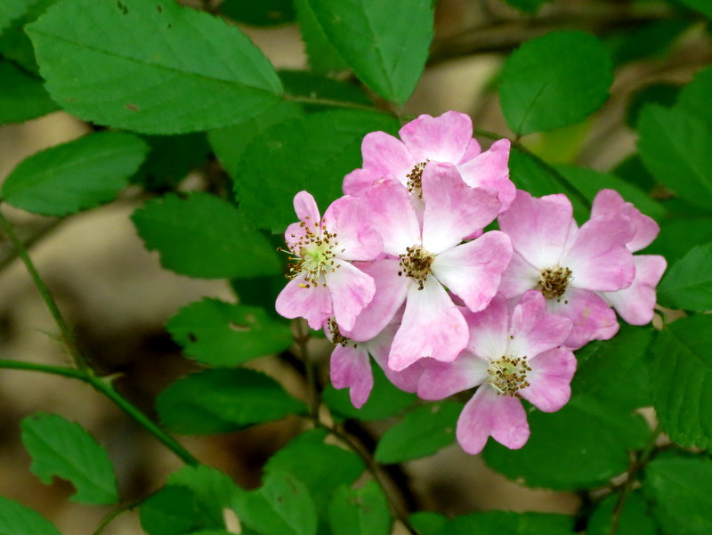
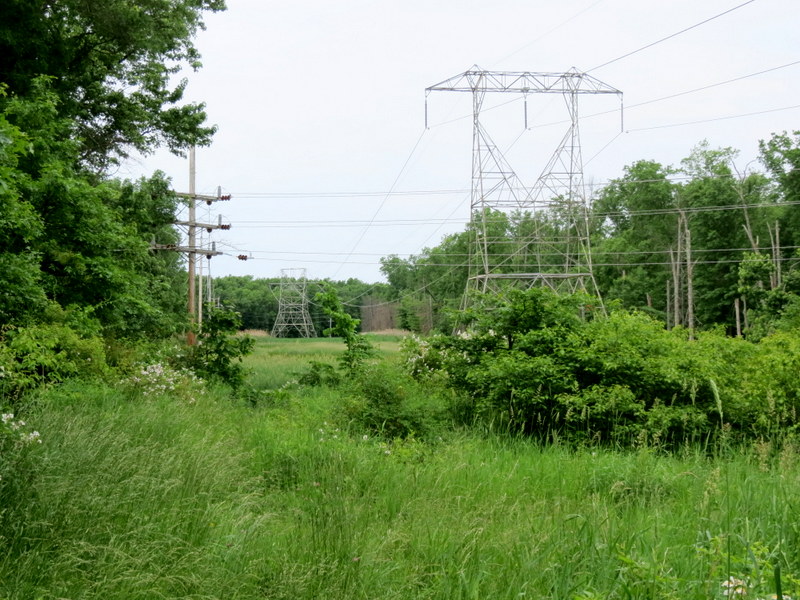
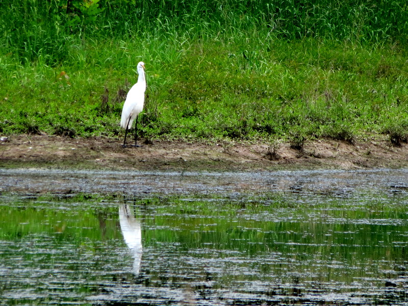
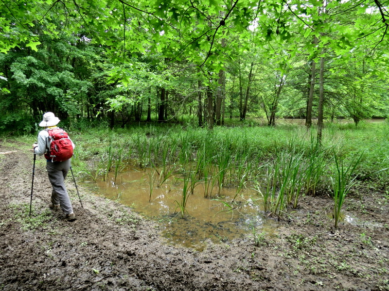
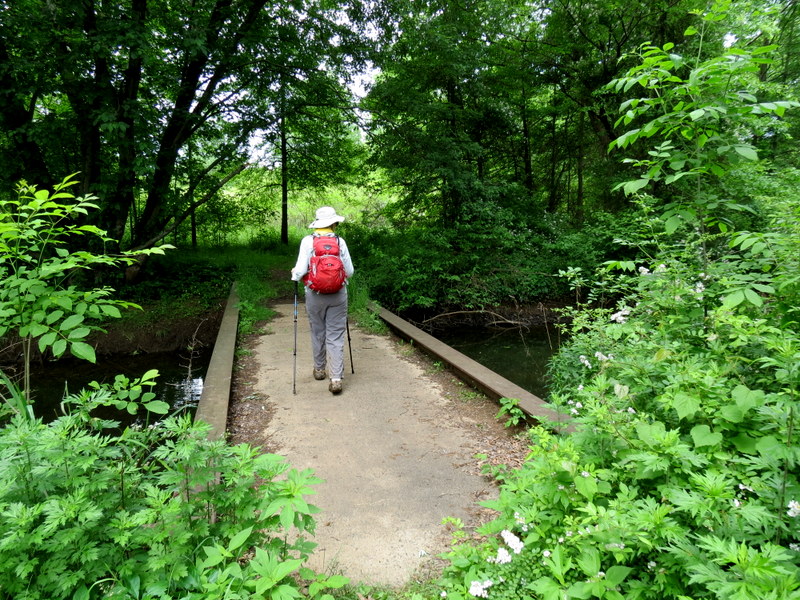
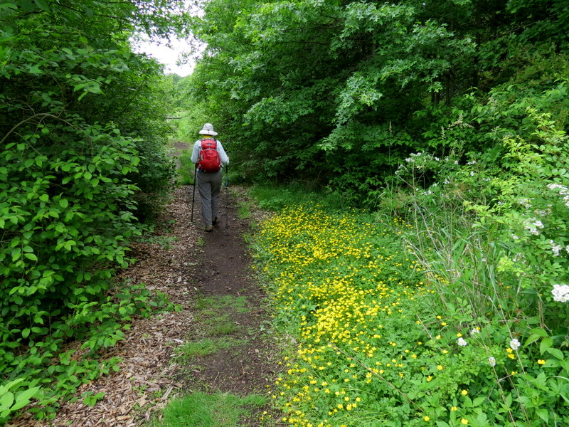
We first hiked this top NJ birding area about two and a half years ago, after a big snow in Using this map, we parked in the parking area north of Mountain Road and headed into the preserve. Last time we headed east through the gazebo and first did the Red trail in the counter-clockwise direction. Today the path to the gabezo was barely passable and completely overgrown east of the gazebo. Unless you have a machete, getting to the Red trail from the gazebo isn't a good option. So we continued north on Red, eventually heading east at the top of the Red loop, and then following unmarked trails east along the Passaic River, trails south, all out-and-backs. We next continued west on Green crossing the bridge, continuing in the overgrown powerline cut, then looped the western pond to the south. The Blue trails around the area labeled "Cedar Grove" were very overgrown, so we skipped doing those. Even the green path west of Cory's Brook was somewhat overgrown, so we backtracked on Red back to the car. With all of the out-and-backs we actually managed to hike 4.4 miles in about 3 hours. But the preserve is in danger of being totally overtaken by vegetation. In the end, for a top birding area in NJ, while we heard birds, we didn't actually see many.
|
 |
 |
 |
 |
 |
 |
 |
 |
 |
 |
 |
 |
 |
 |
 |
 |
 |
 |
 |
 |
 |
 |
 |
 |
 |
 |
 |
 |
 |
 |
 |
 |
 |
 |
 |
 |
 |
 |
 |
 |
 |
 |
 |
 |
 |
 |
 |
 |
 |
 |
 |
 |
 |
 |
 |
 |
 |
 |
 |
 |
 |
 |
 |
 |

|
|
Photographs and content copyright © Dan Balogh Web design by Dan Balogh |