 |
|
I've been wanting to hike in this relatively small preserve since the beginning of the year, but a good part of the trails are closed from January 1 to
August 1 to protect the nesting of bald eagles in the area. That leaves the last five months of every year, so today we took advantage of the beautiful
weather to check it out.
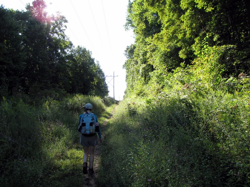
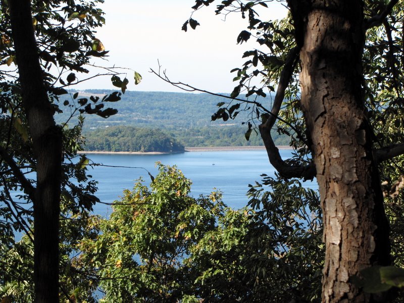
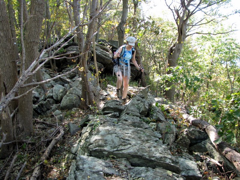
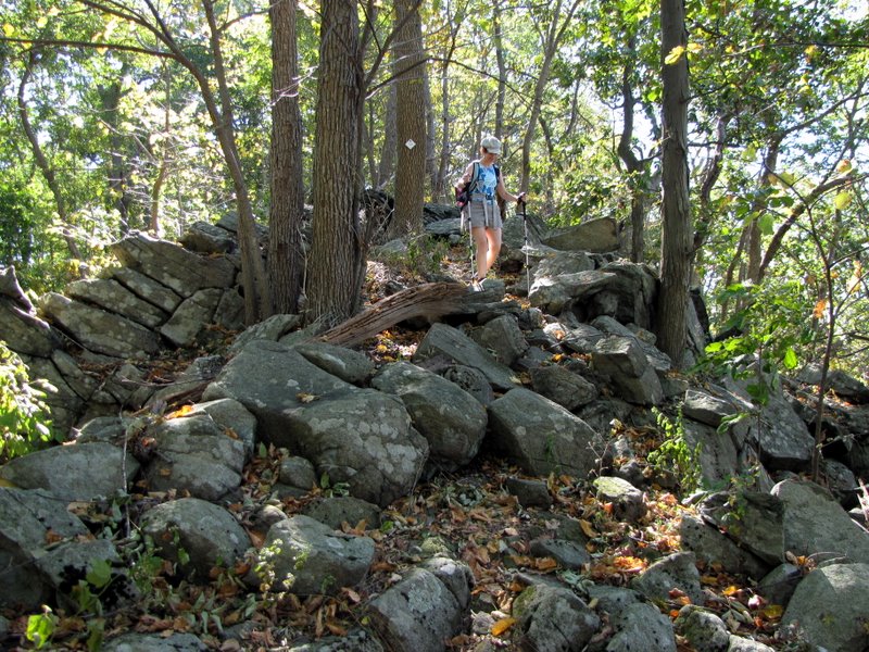
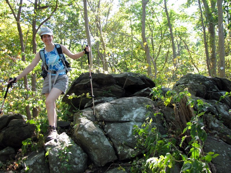
Using this online map, we did a clockwise rectangular hike beginning at the parking area off Old Mountain Road. We headed east through the unblazed old telephone line cut for a half mile, then turned right and heading south uphill first crossing the powerline cut before heading into the woods. In the woods, on the white-blazed trail, we began a steady uphill climb to the ridge of Cushetunk Mountain. At the ridge instead of proceeding straight (downhill) to Round Valley Reservoir, we made a right and continued on the white-blazed trail west along the very rock ridge. The stretch along with ridge is about a mile long and has seasonal views both south (to the reservoir) and north (to the valley). The views must be spectacular when the leaves are off the trees, so we plan on returning in late autumn or early winter (before the trail is once again closed on January 1). Eventually the ridge trail ends at a T-intersection. A left takes you downhill to Round Valley Reservoir, but we made a right which took us back to the parking area. This is a half mile stretch that goes downhill relentlessly until the end (a descent of 400 feet). So doing this rectangle in the counter-clockwise direction (climbing this part) would have been a bit tougher. Incidentally, there are at least two trails not on the map, one blazed nicely in blue heading east from where the white nearly reaches the ridge. Perhaps when we return later this year we'll explore some of the others to see where they go. Total distance hiked today was 2.7 miles in approximately 2 hours.
|
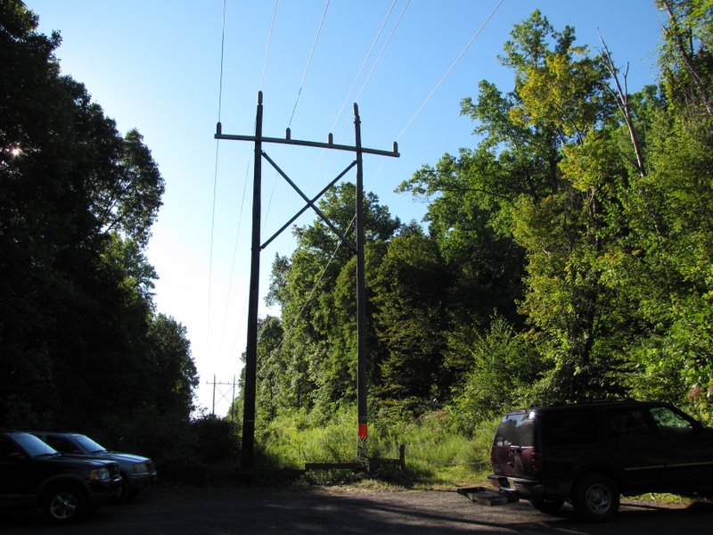 Parking area |
 Heading east in telephone line cut |
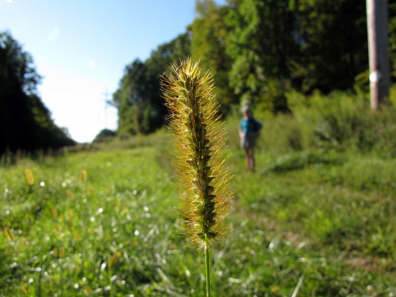
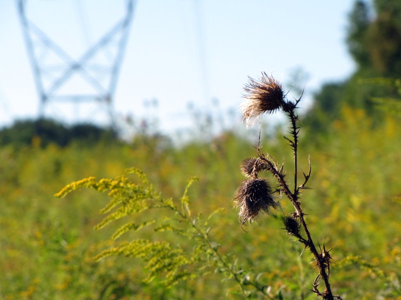
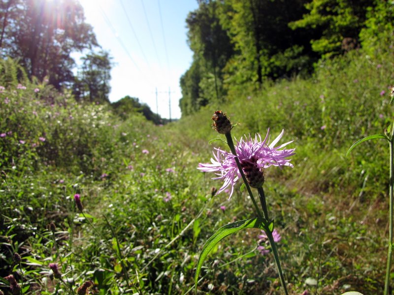 Wildflowers ... |
 ... in the cut |
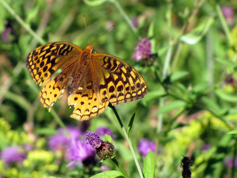
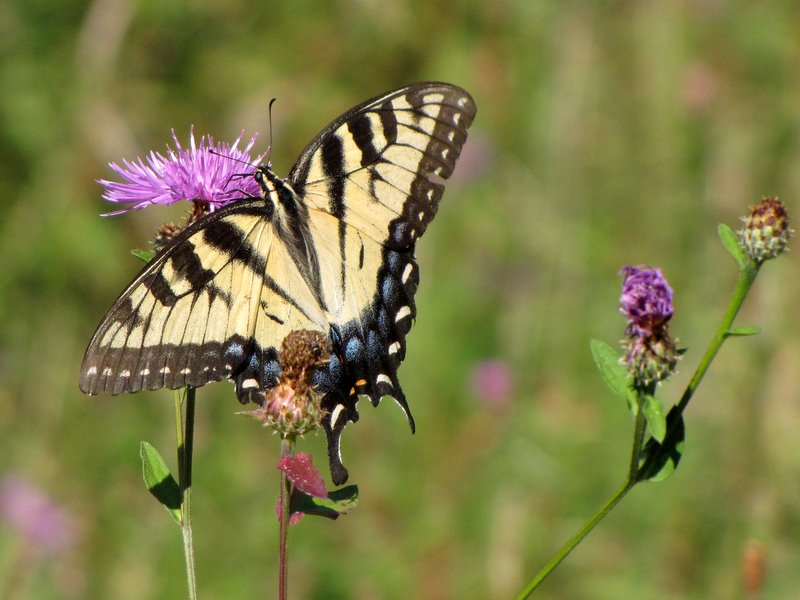 Swallowtail |
 |
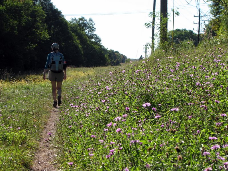
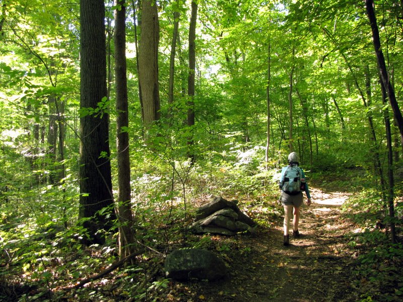
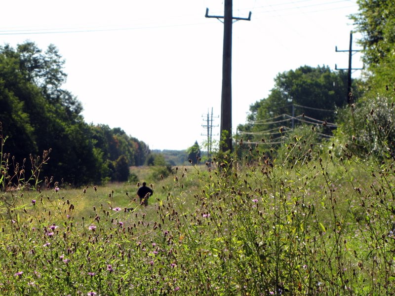 Dog walker ahead |
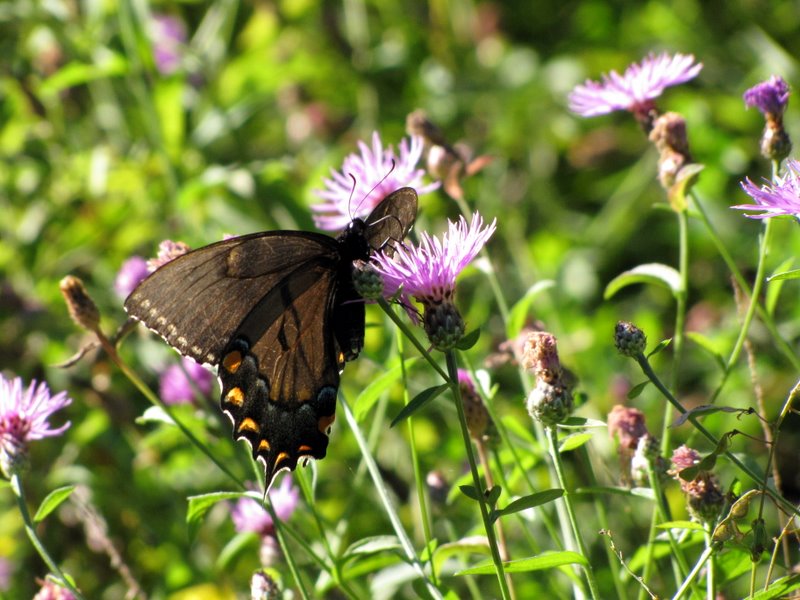 Black swallowtail |
 |
 Butterfly with serious wing damage |
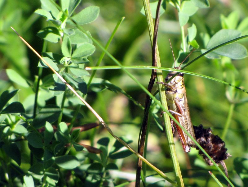 Grasshopper |
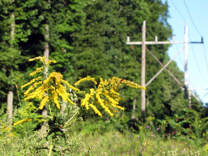
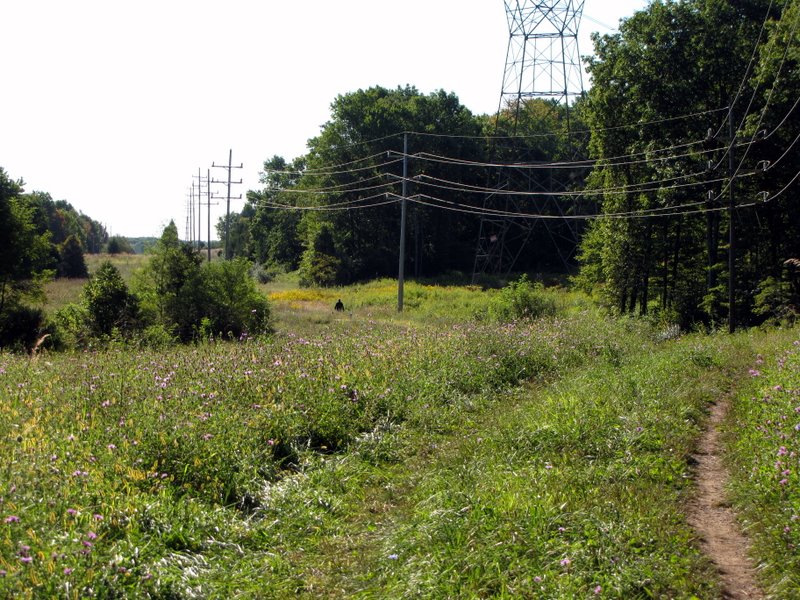 Approching the power line cut |
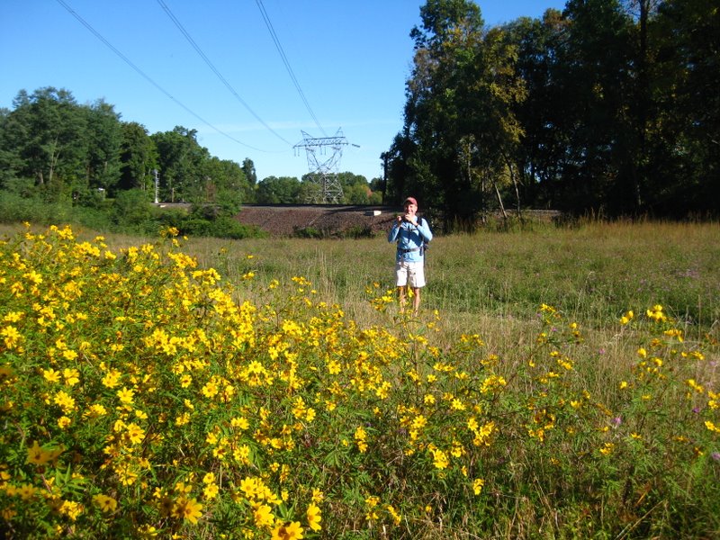
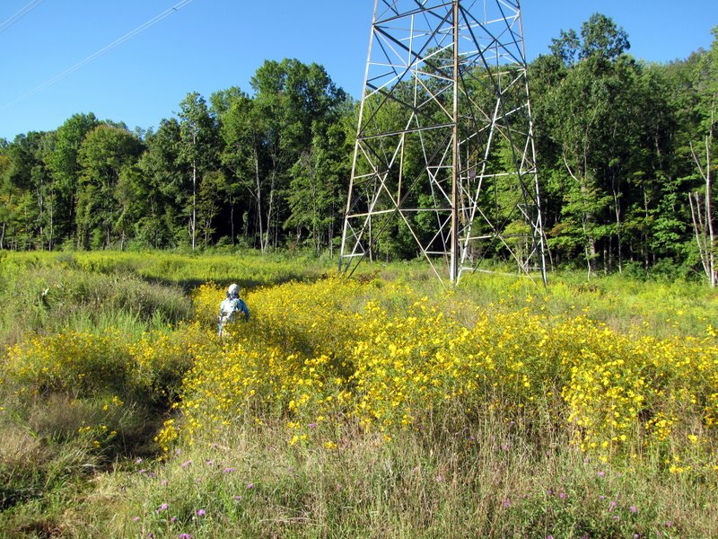
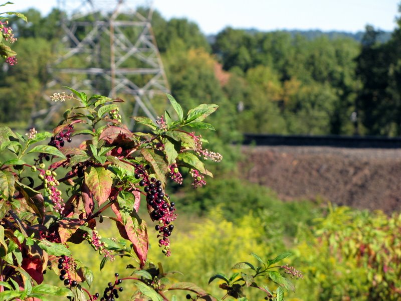
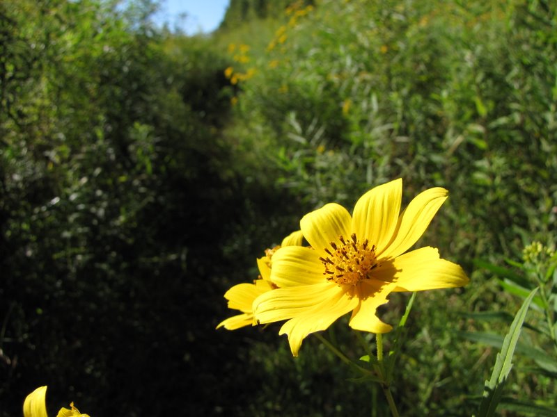
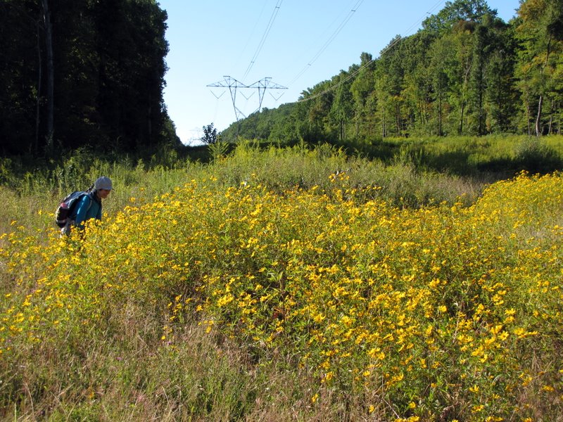 Gorgeous wildflowers in powerline cut |
 [Photo by Laura] |
 Crossing the cut |
 |
 |
 |
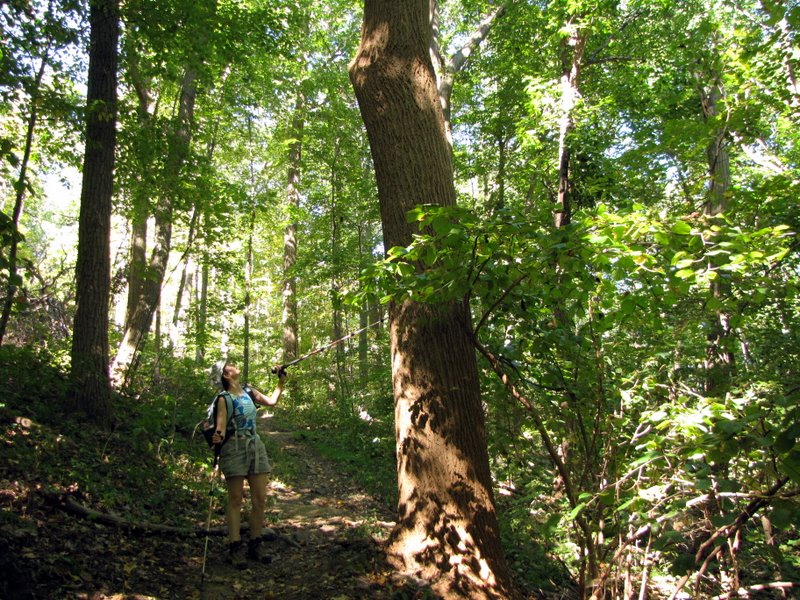
 The first "blaze" |
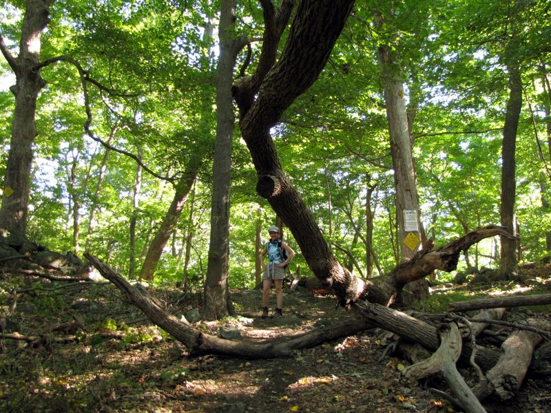
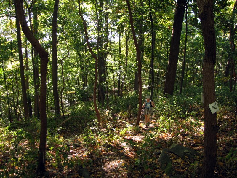
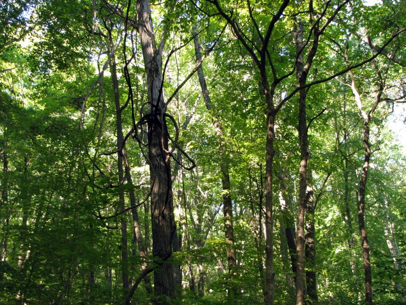 A tangled forest |
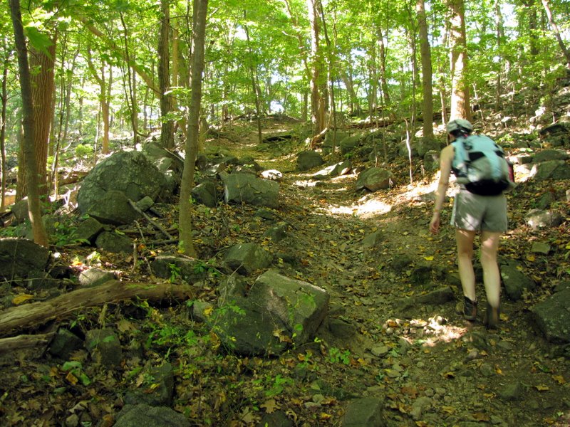
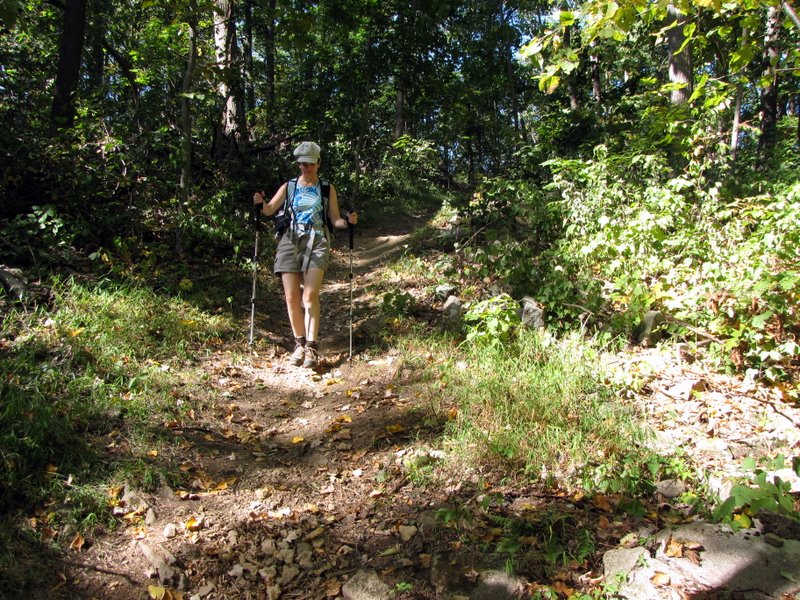
 Steady climb |
 Almost at the ridge |
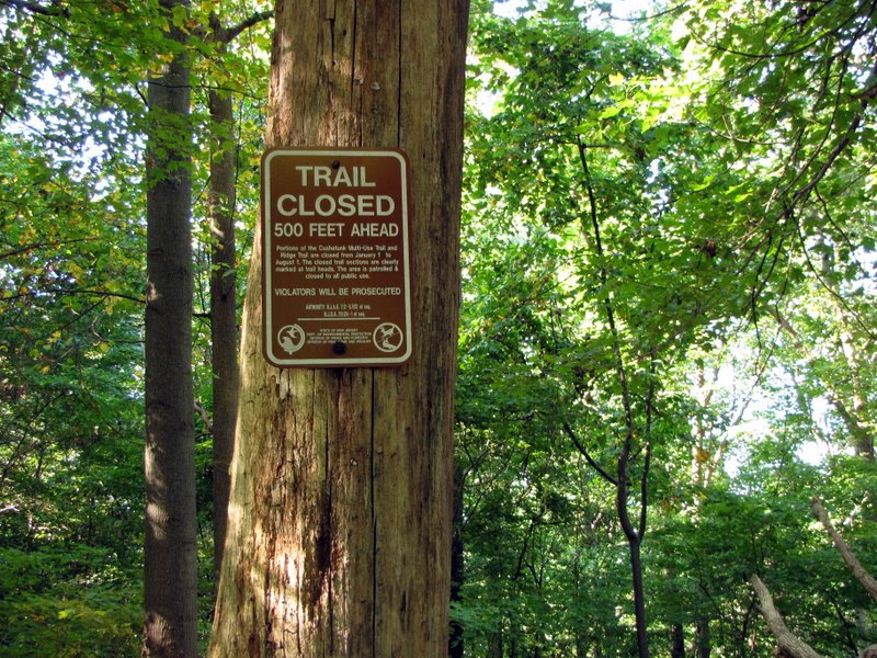 Closure sign |
 |
 Now heading/climbing west on the ridge |
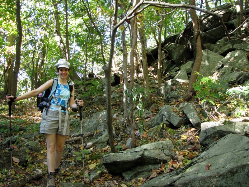 Time to use the poles |
 |
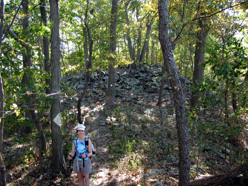
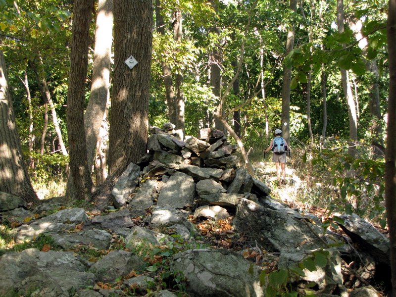 Large cairn |
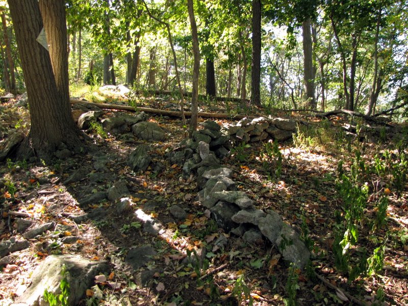 Interesting wall |
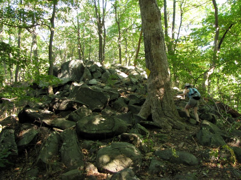
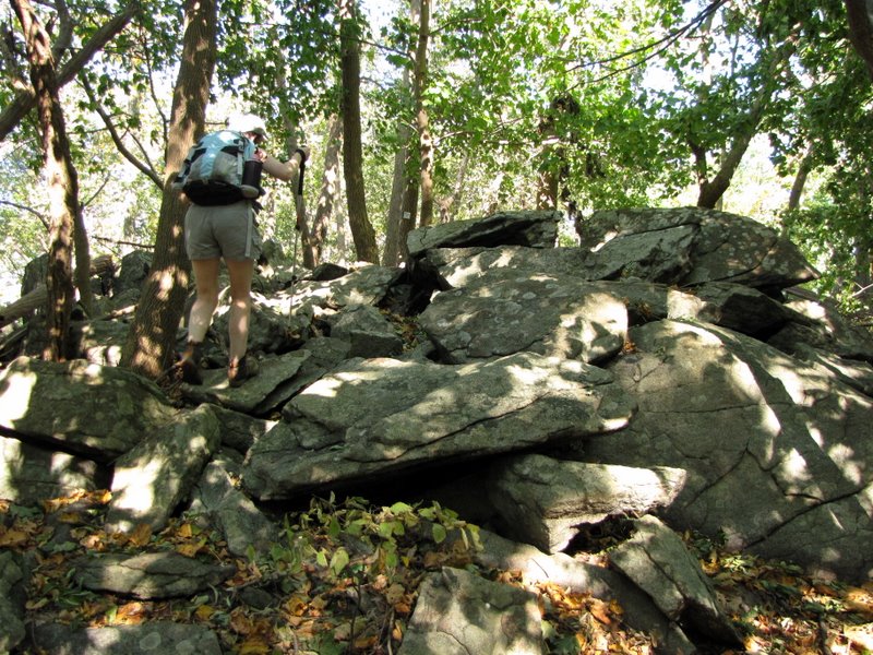 Lots of scrambling on the ridge |
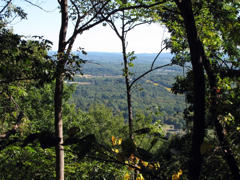 Seasonal view north |
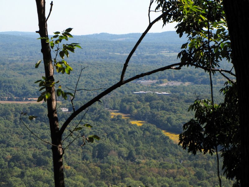 Zoom view north |
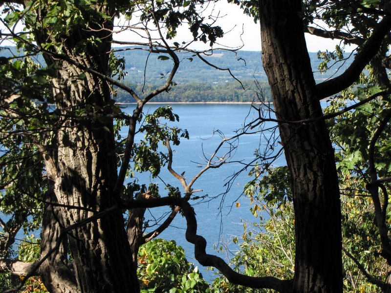
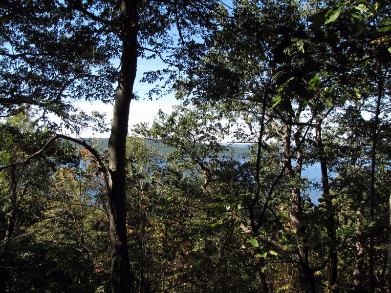 Reservoir through trees |
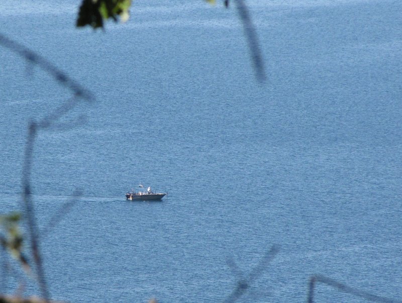 Fishing in reservoir |
 Another view through trees |
 |
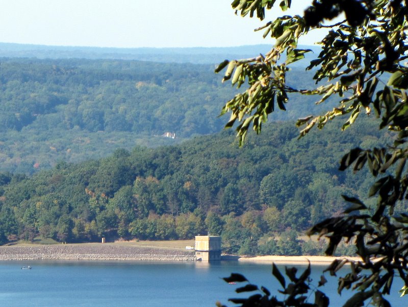 View of reservoir dam |
 |
 More scrambling ... |
 ... on the ridge |
 |
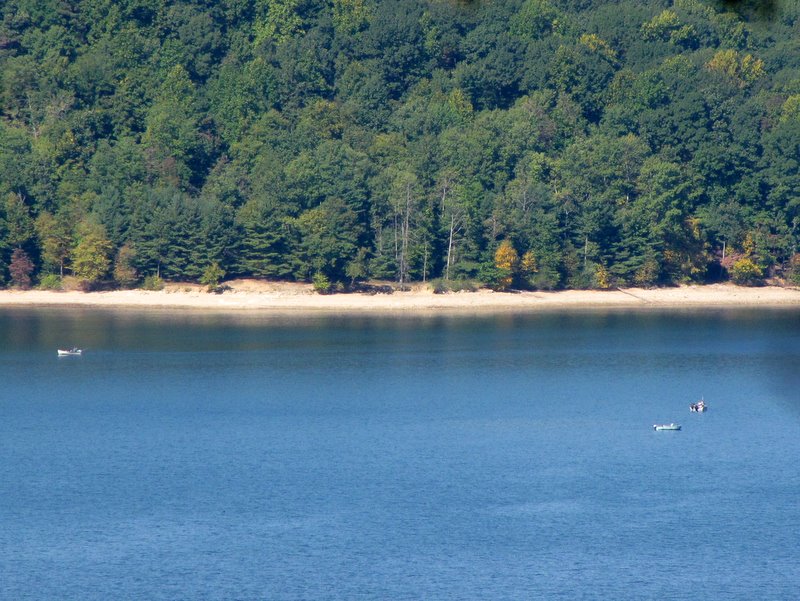 Boats in the reservoir |
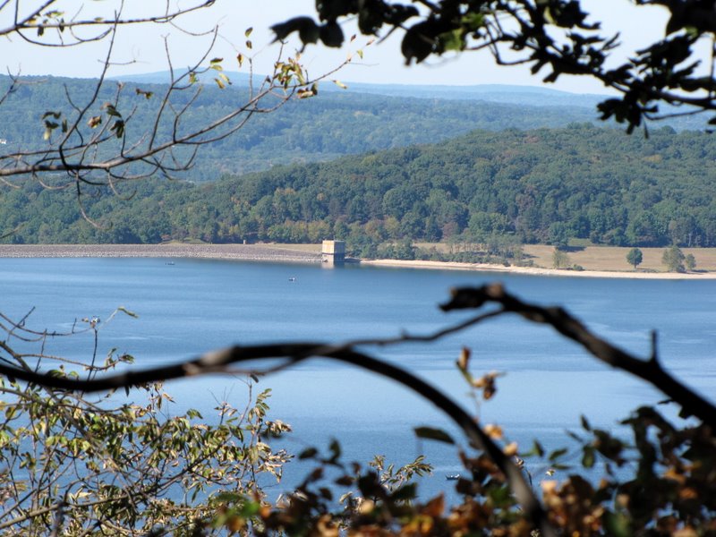 Reservoir dam |
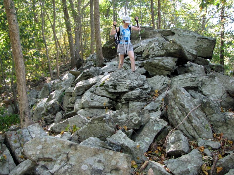 Scrambling for views |
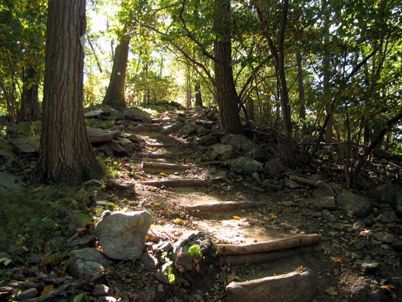 Steps on the descent |
 Relentless downhill |
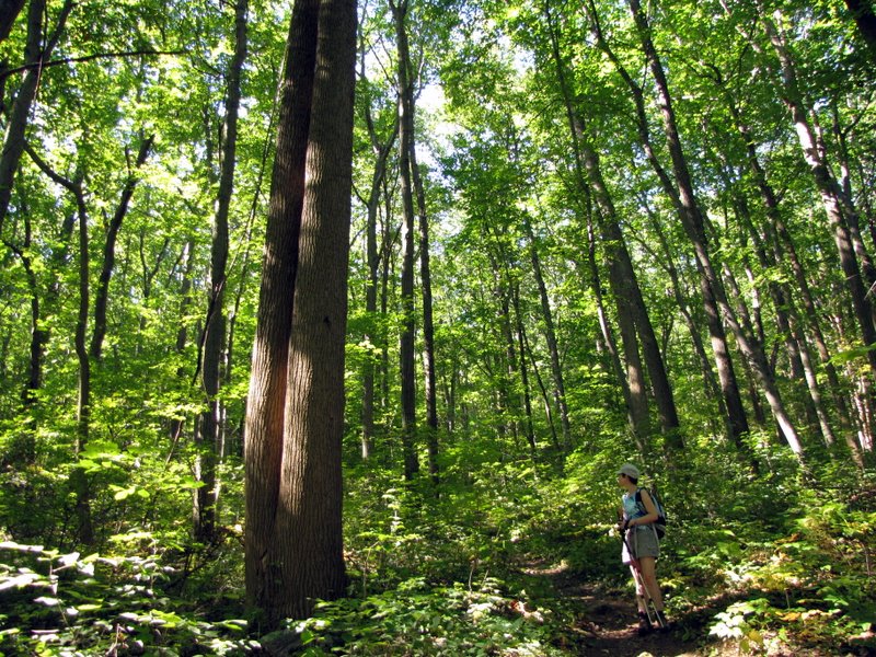
 Old growth |
 |

|
|
Photographs and content copyright © Dan Balogh Web design by Dan Balogh |