 |
|
We hiked this mountain over two years ago but hadn't returned since. This is partly due to the fact that
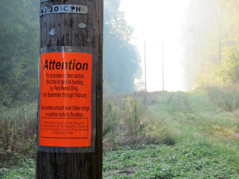
some of the trails are closed for over half the year (January 1 to August 1, due to eagle nesting) and partly due to the fact that in 2010 there weren't many
trails indicated on the map; in fact, we may have hiked all the ones that were on the map. But when my friend Daniela hiked this mountain
last weekend, she hiked newly blazed trails indicated on
a new map (from 2012), and even discovered a couple of trails which still don't appear on any map. So back we headed today.
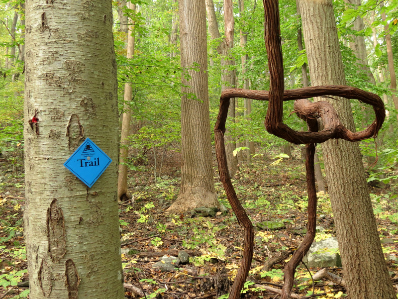
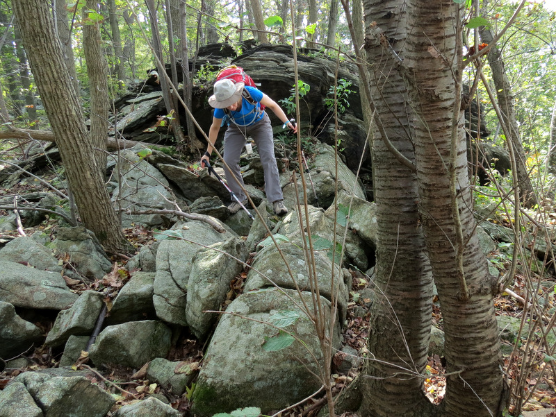
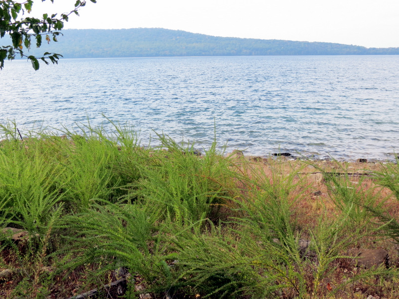
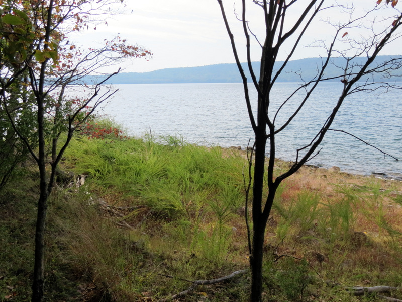
The map for 2012 indicates a sub-network of trails east of the mountain beginning in Pickell Park. None of this was on the 2010 map. Following Daniela's suggestion, we once again parked in the large lot in the powerline cut near Railroad Avenue and did the following loop. We headed east on White for just a bit, before picking up the Yellow which we took east climbing the mountain. Next we headed south on White climbing steeply at times. Next, heading east on Blue we continued climbing on what is surely one of the steepest trails in this area. Then we took some trails that Daniela discovered. On the map note where Blue, heading south climbs, but then turns sharply NE to descend. Here we made a right on White (yes it's here, but not on the map). When the blazes ended we continued west on a lightly-traveled path (also note on the map) until we once again reached White just south of where we turned east on Blue earlier. A map from Readington Township indicates two Overlooks along this stretch, but there were none, only seasonal views on White along the ridge. Continuing west on White, when we got to where "Parking Lot Trail" heads north, we headed south steeply on a dirt path (not on the map). This took us all the way to the bank of the beautiful Round Valley Reservoir where we next headed west along a Green trail (also not on the map), then north (on Green) before it ended on a woods road along the ridge (with one spectacular vista over the reservoir). This road is also not on the map. It took us back east to the Parking Lot Trail which took us back to the car. Total distance hiked today was 6 miles in approximately 3.5 hours with lots of climbing.
|
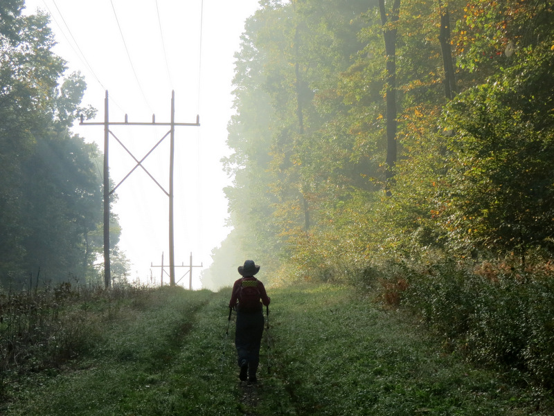
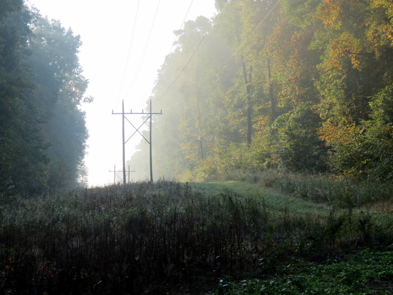 Powerline cut looking east |
 We didn't see any! |
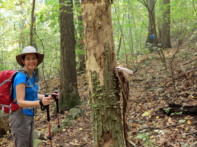
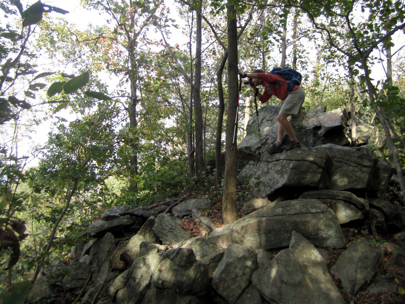
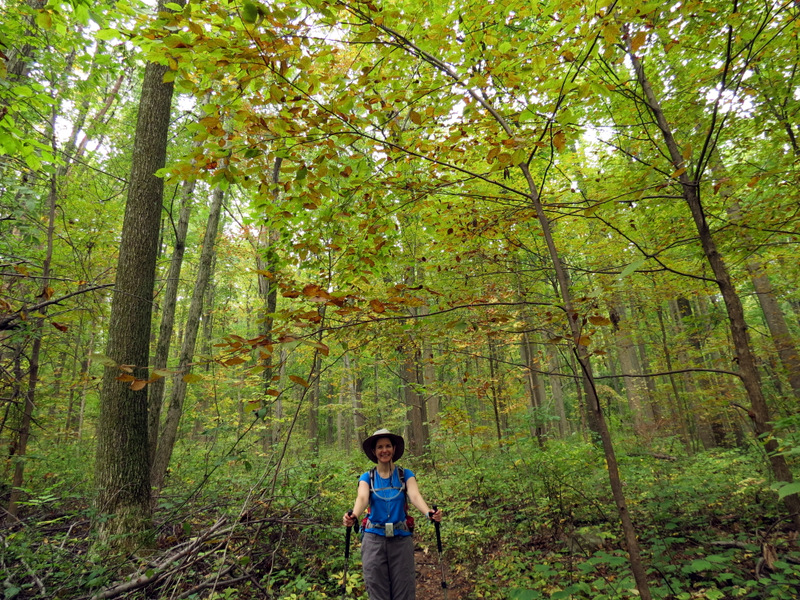
 Laura "Clint" Eastwood |
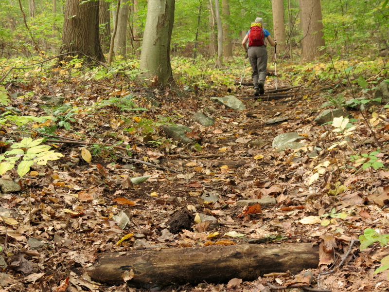
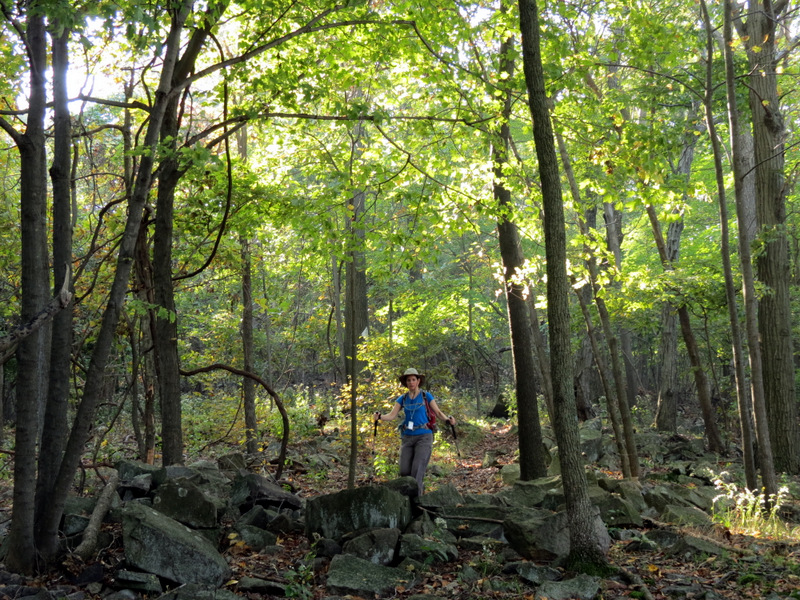
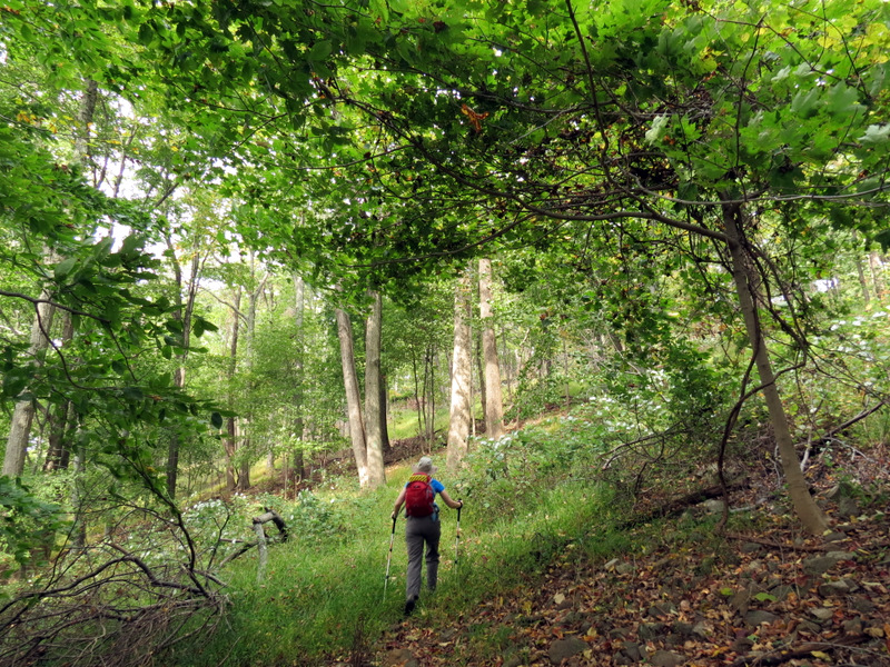
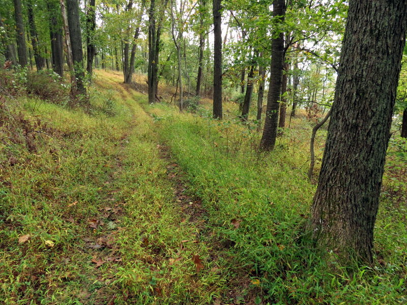
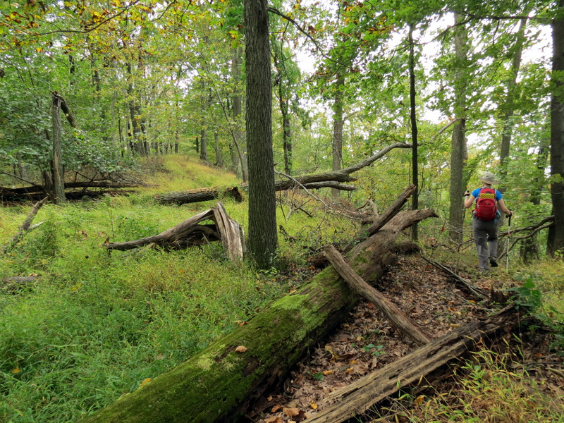
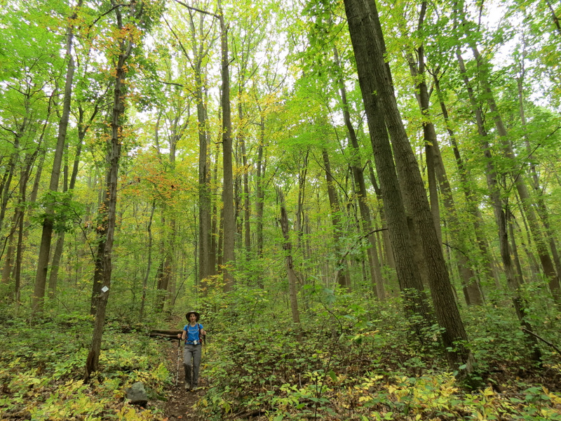
 On Yellow |
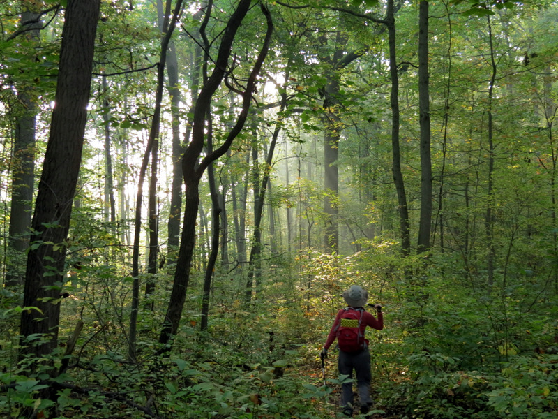
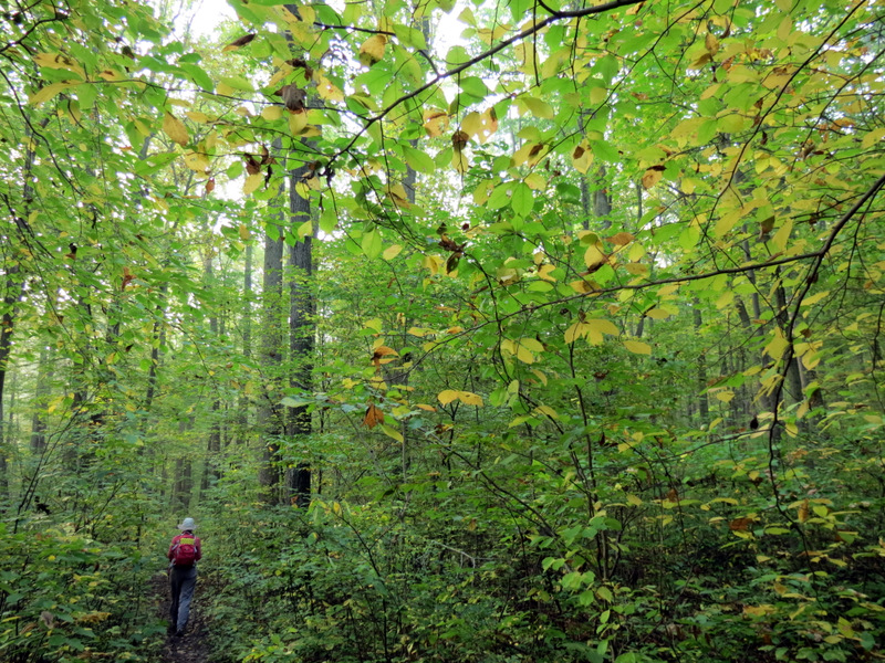 Gorgeous forest |
 Some leaf drop |
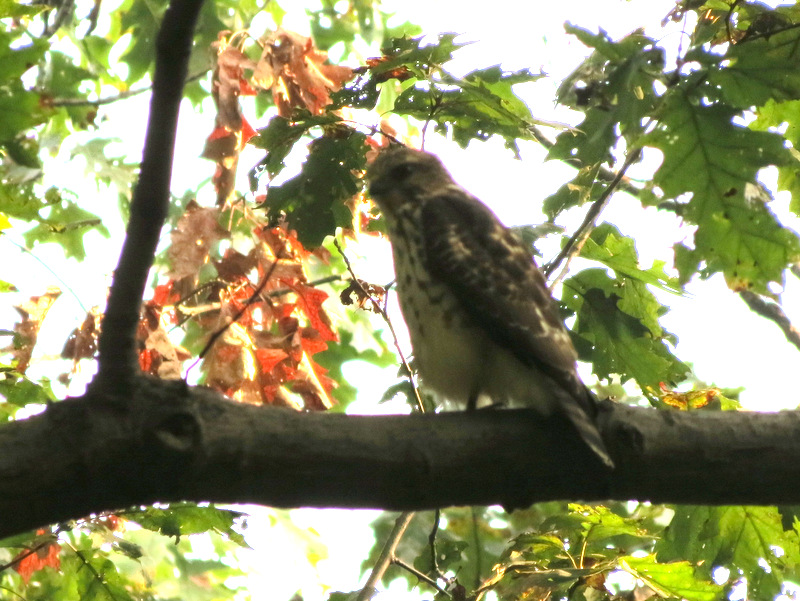 Out-of-focus red-tailed hawk |
 |
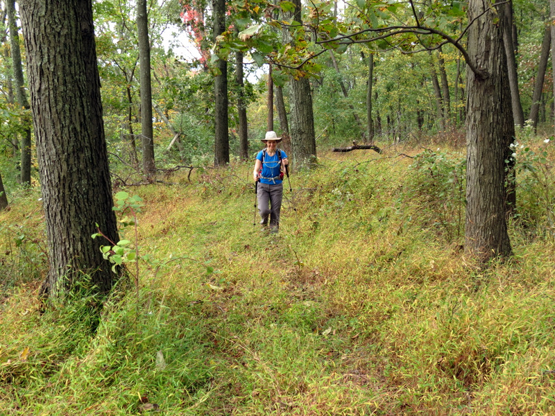
 Climbing on White |
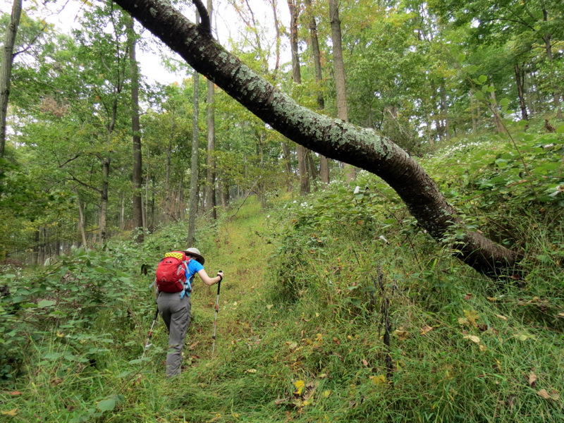
 Now on Blue |
 |
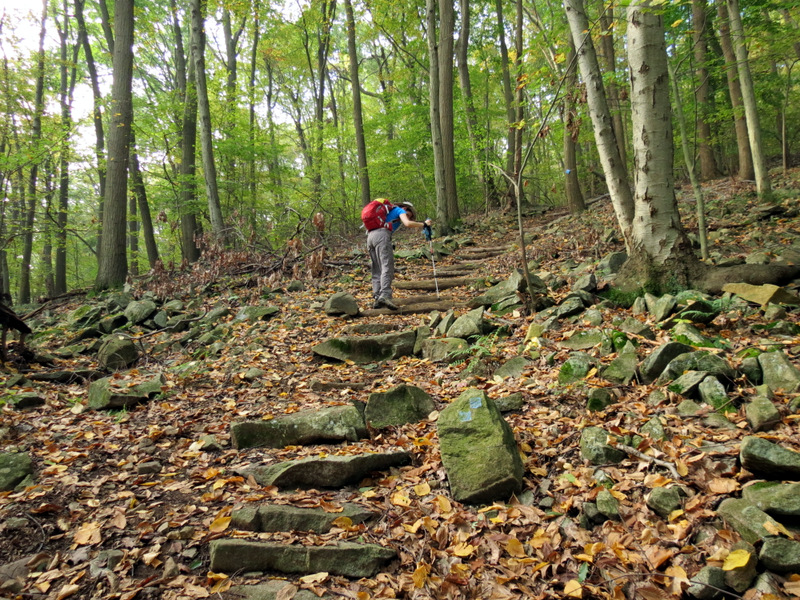
 Steps on Blue |
 |
 Blue keeps going up! |
 And up! |
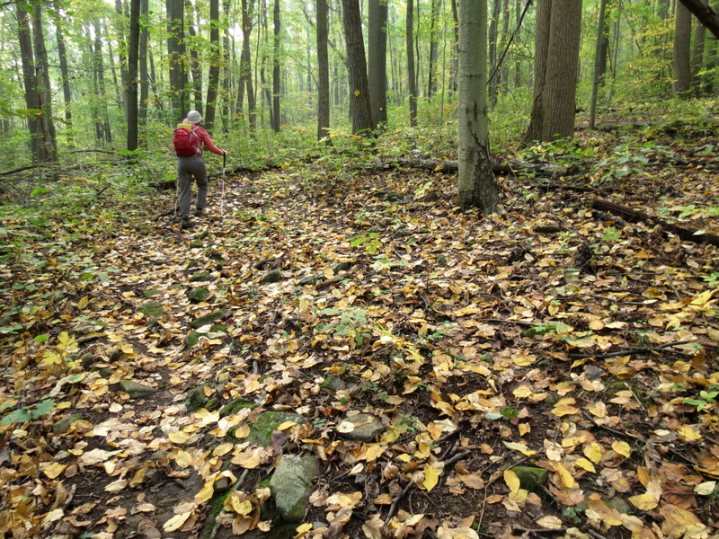
 On White at the top |
 |
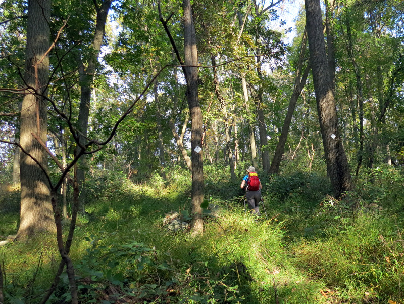
 Tree hopping on unblazed path |
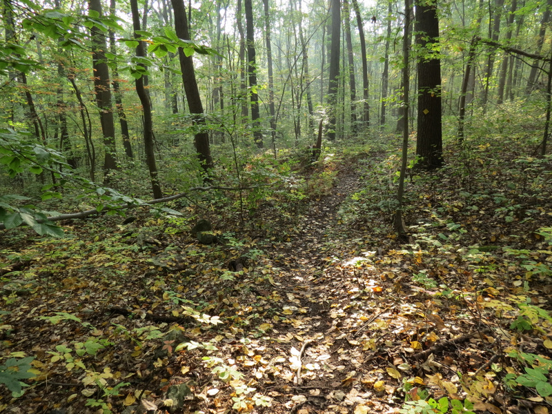
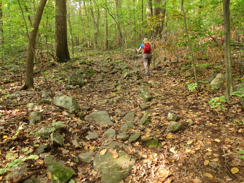
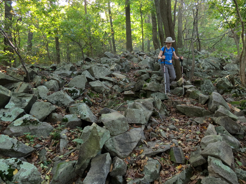 A rocky White ridge trail |
 |
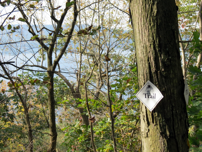
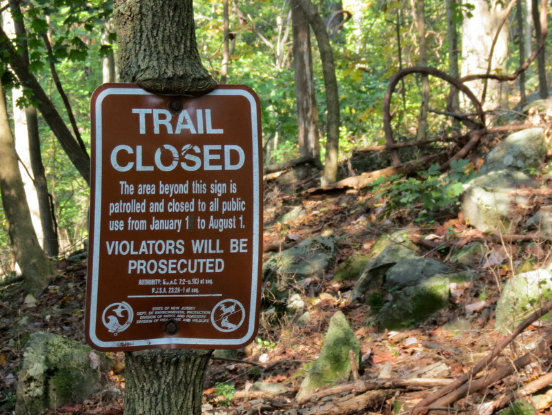 Ridge trail closed 7 months a year |
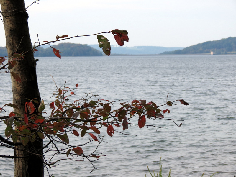
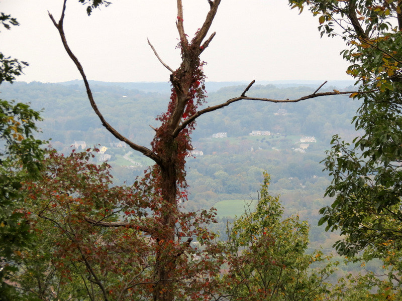
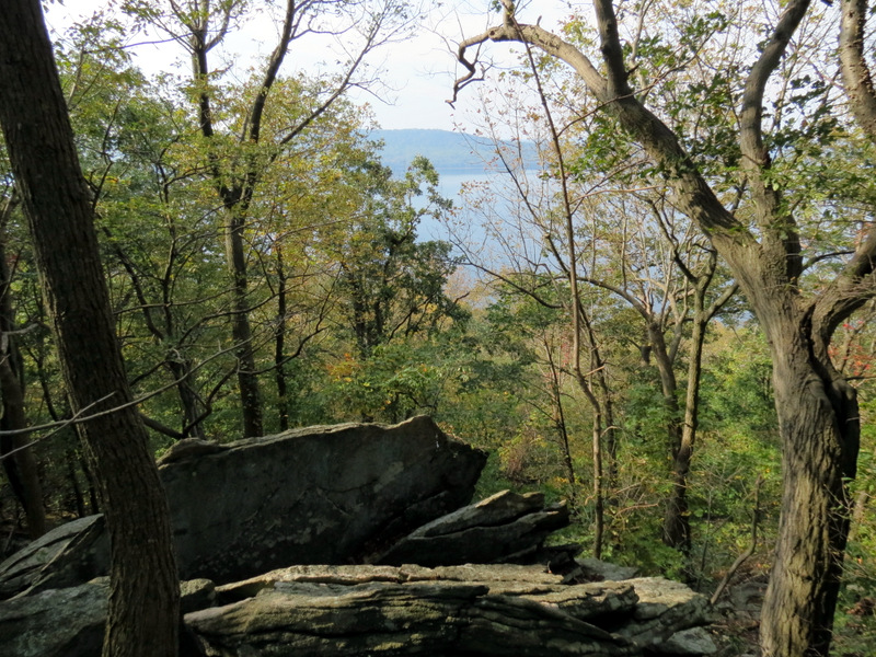 Limited view south |
 |
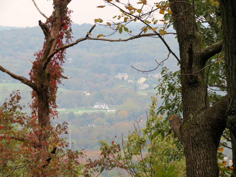
 The White ridge trail |
 Very very ... |
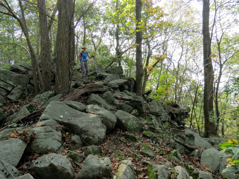 ... rocky on this stretch |
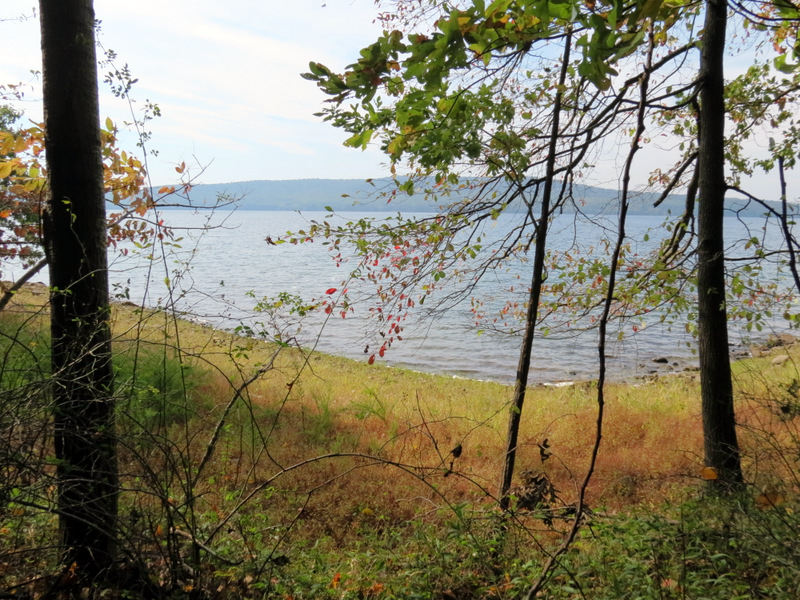
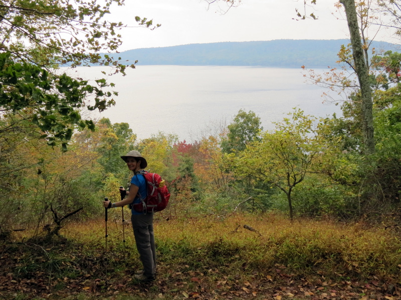
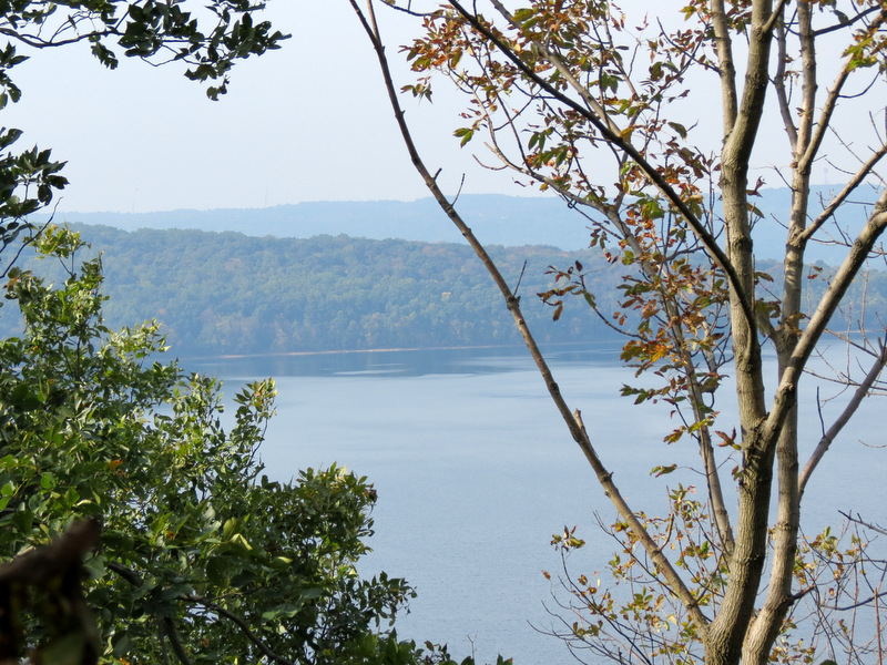 View of Round Valley Reservoir |
 [Photo by Laura] |
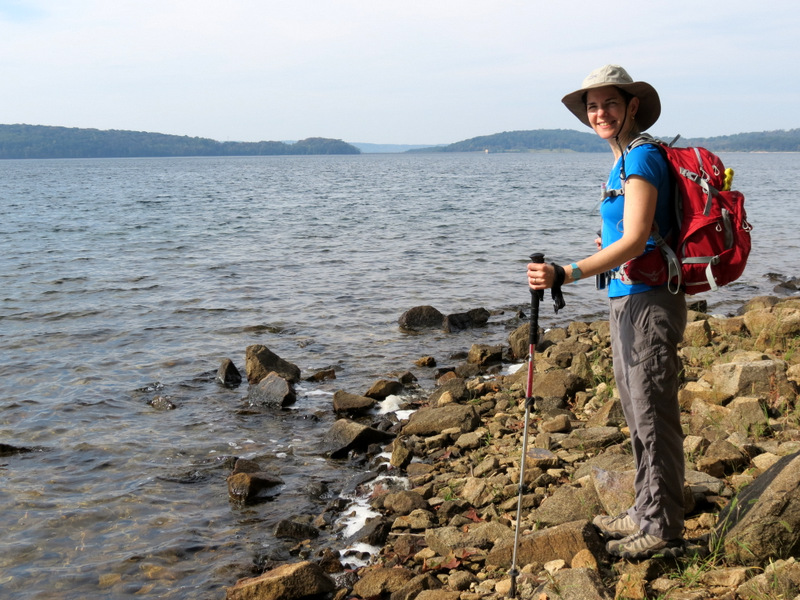
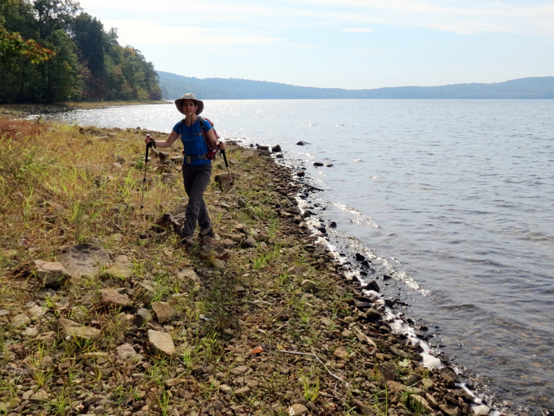
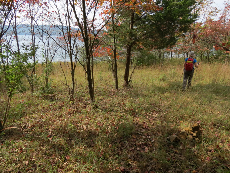
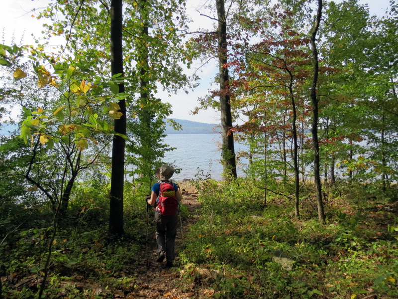 On trail to reservoir bank |
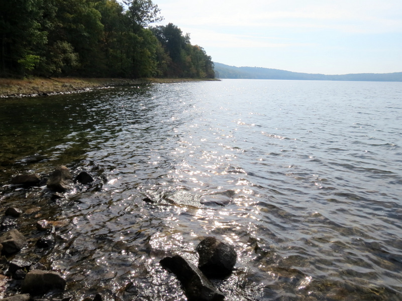
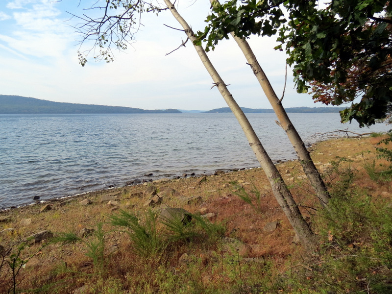
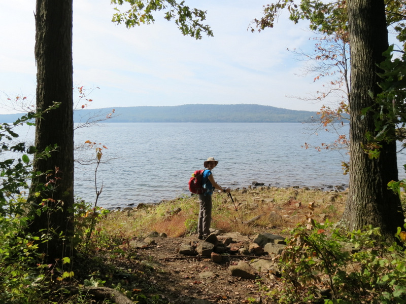 Round Valley Reservoir |
 Sweeping views ... |
 ... from the northern bank |
 View east |
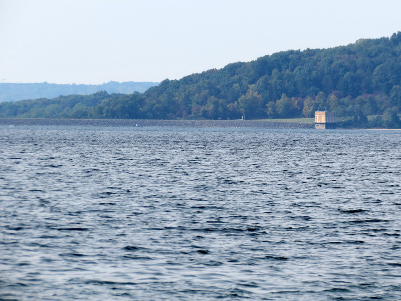 View west to dam |
 [Photo by Laura] |
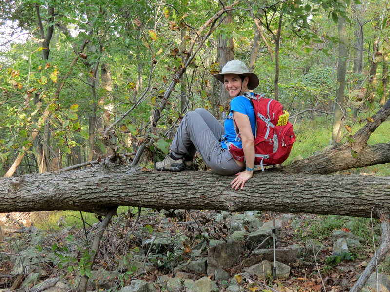
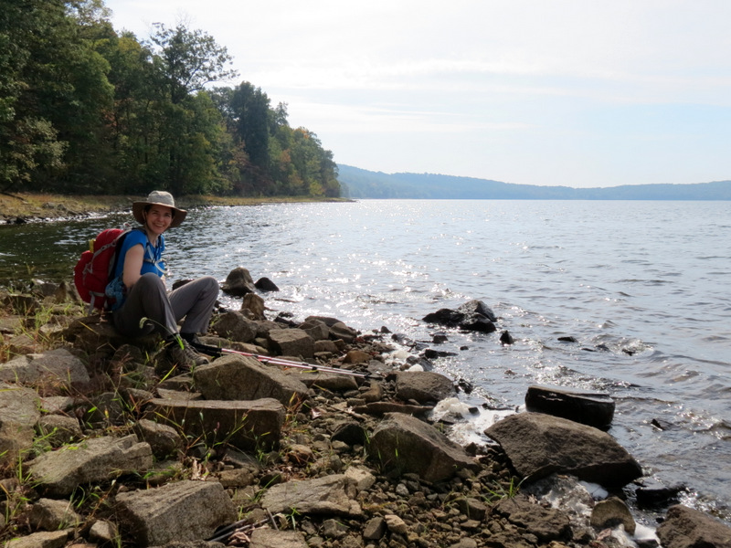 Taking a breather |
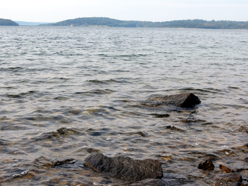 Choppy waters |
 |
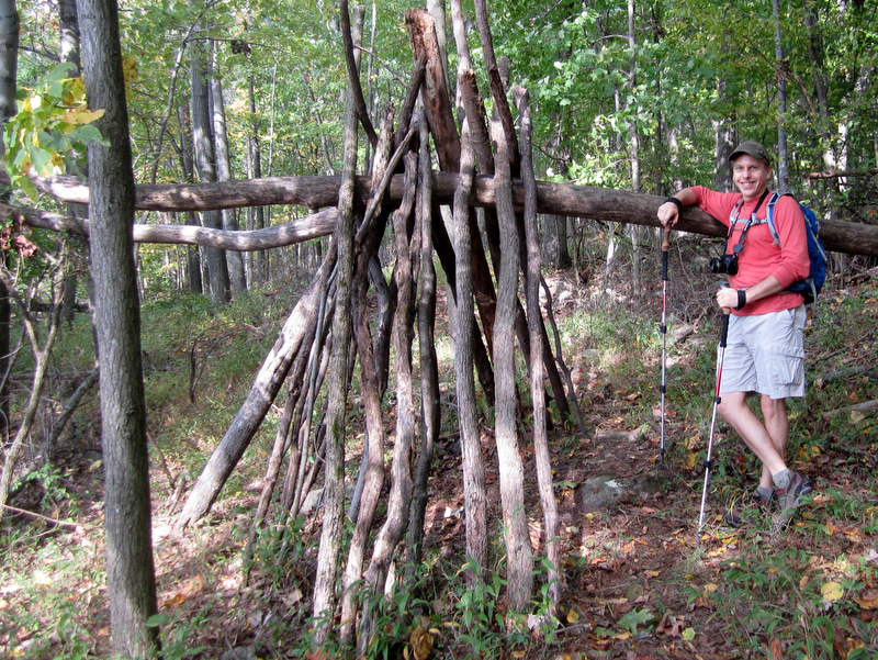
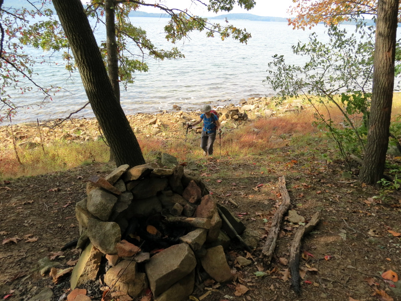 Large fire ring |
 Hiking west along Green |
 View from Green |
 [Photo by Laura] |
 The views from Green ... |
 ... are magnificent |
 |
 |
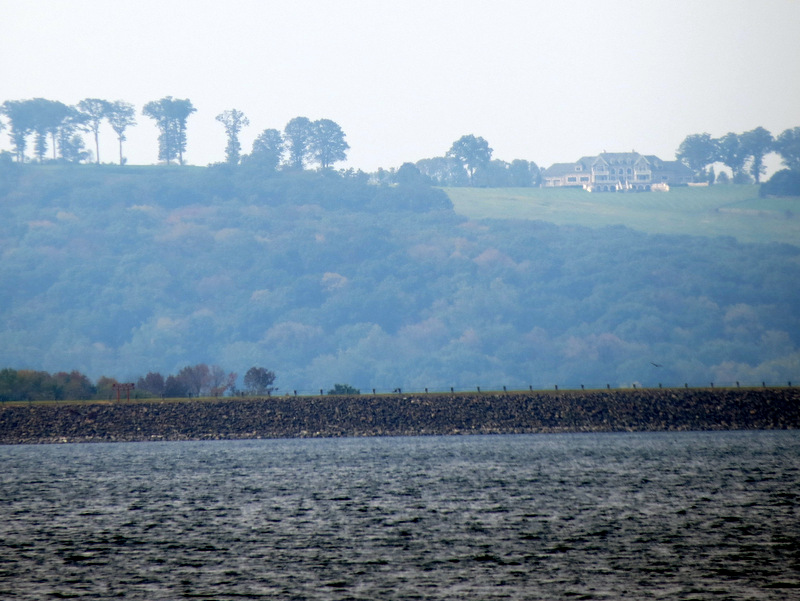 Zoom to northern dam |
 |
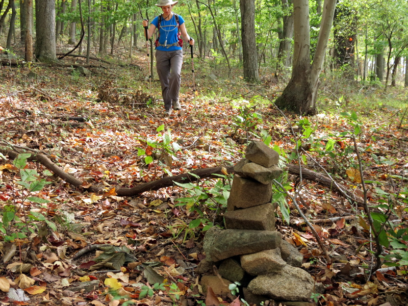 Cairn on Green trail |
 |
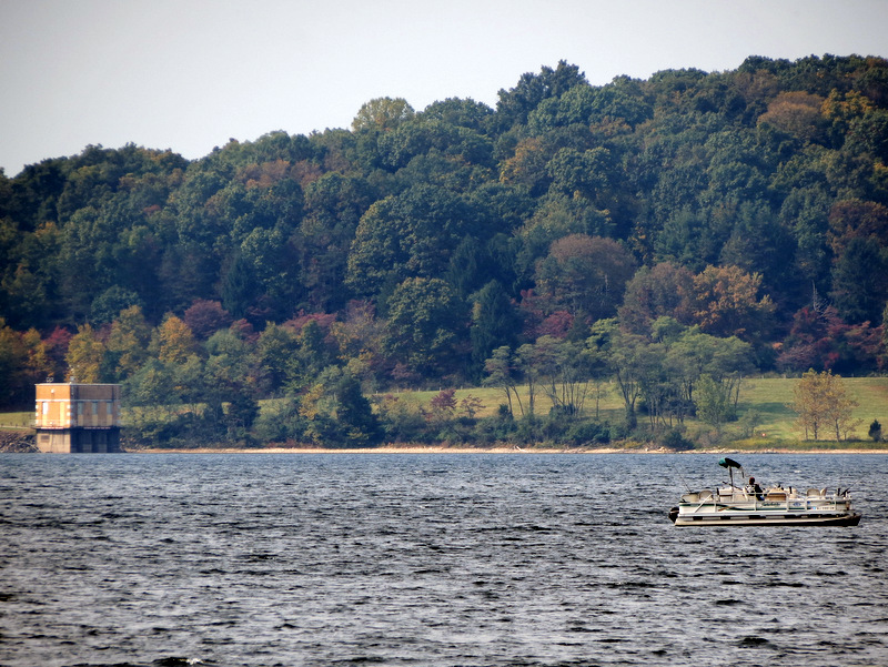 Fishing near dam |
 |
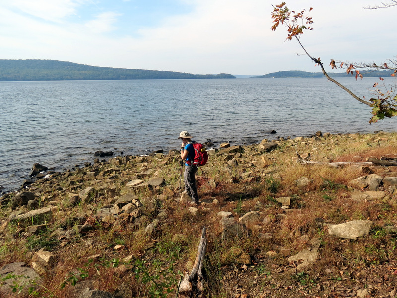
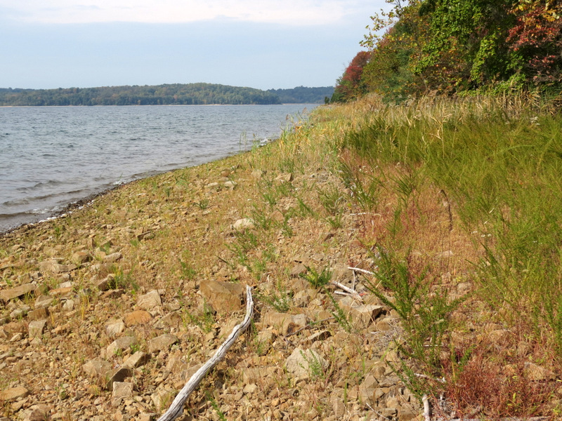
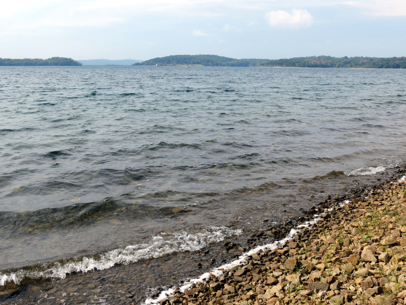 Choppy shore |
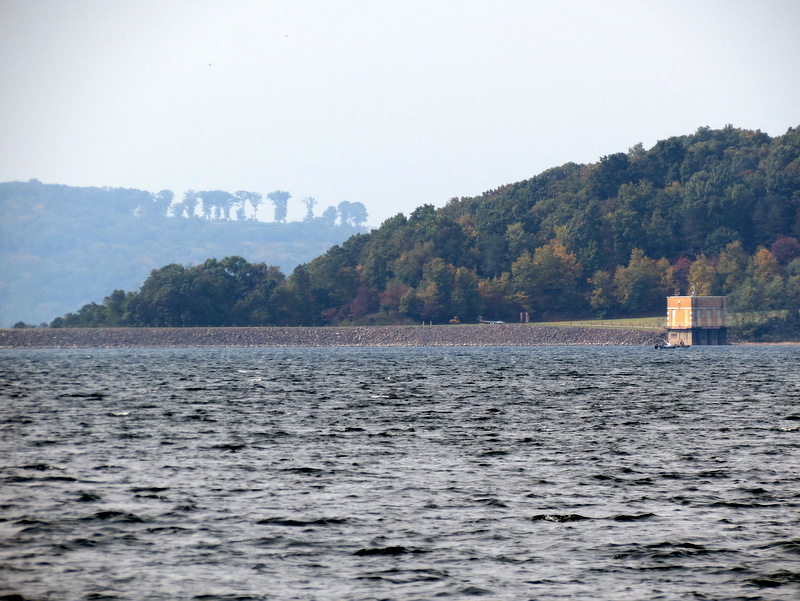 Zoom to dam |
 |
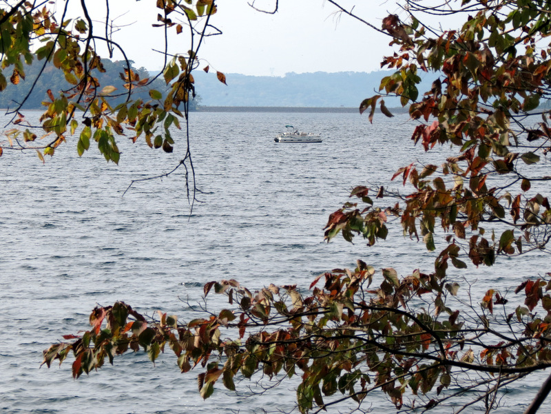 Fishing |
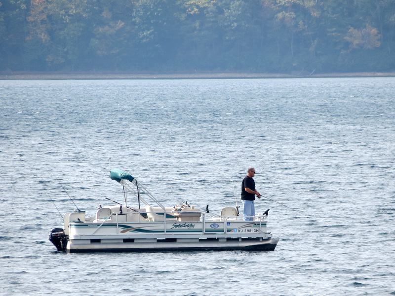 Reservoir fishing |
 |
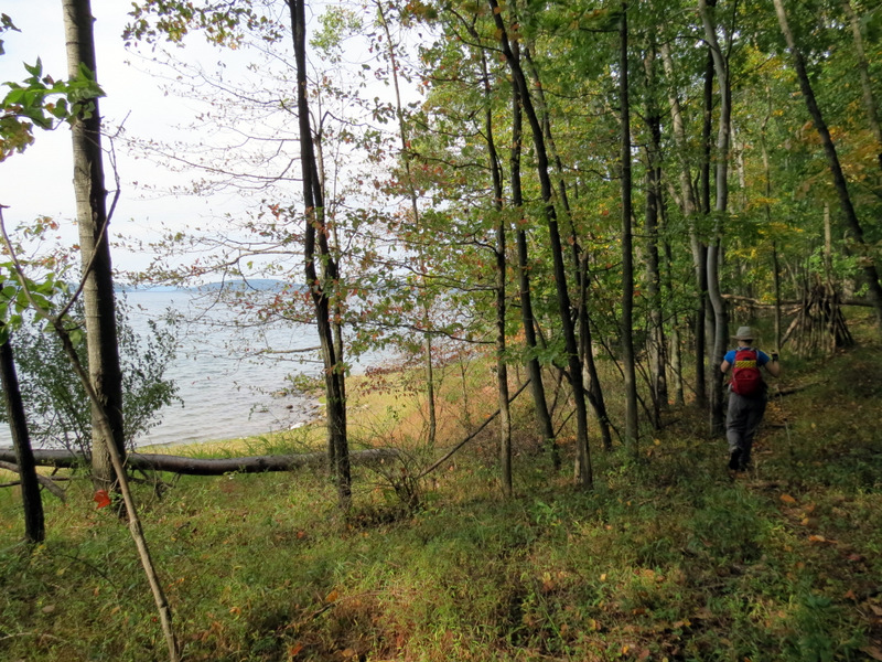
 Green veers away from reservoir |
 And climbs! |
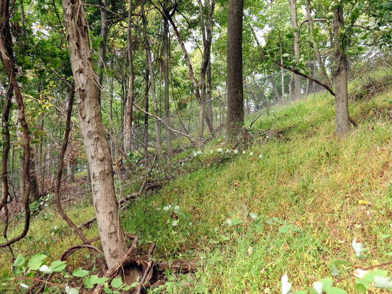 Fence near Green |
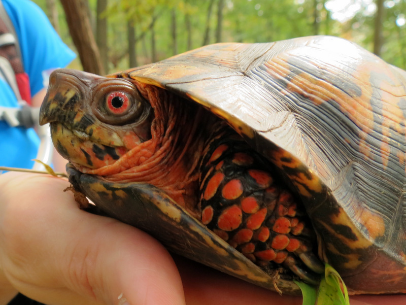 We found this turtle ... |
 ... climbing on Green |
 [Photo by Laura] |
 Woods road heading east |
 View west |
 Vista over reservoir |
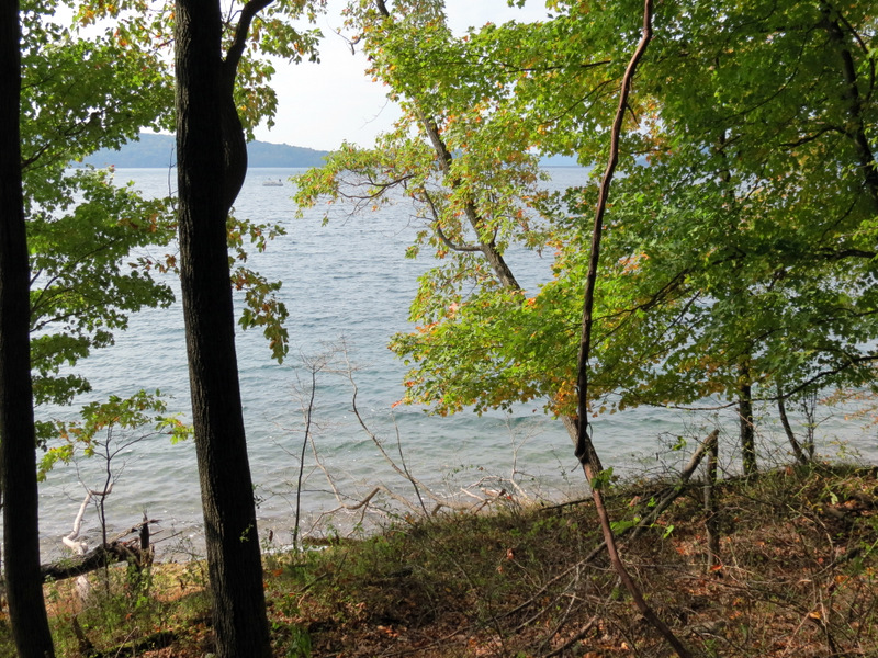
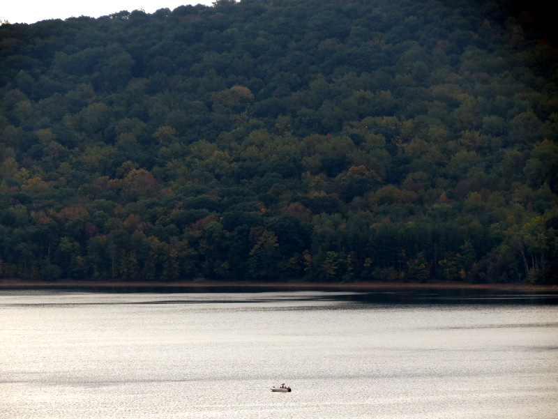 Zoom to fishing boat |
 |
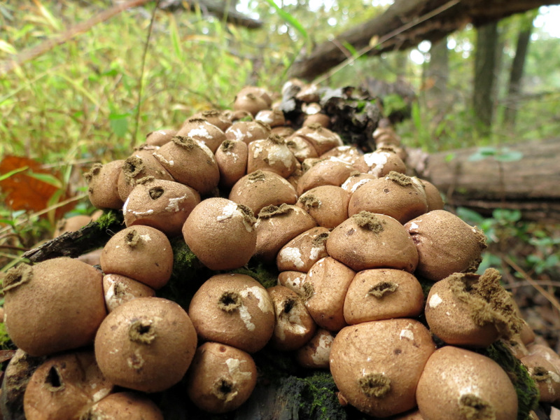 Mushrooms that ... |
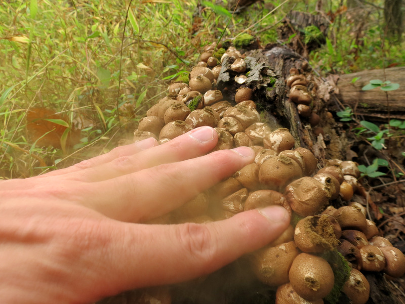 ... explode powder |
 Tree hopping |
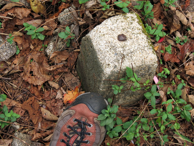 Saw several short posts |
 Partial views ... |
 ... to the north |
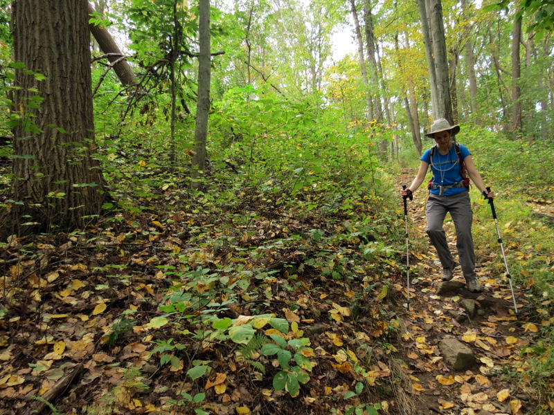 Heading down Parking Lot trail |
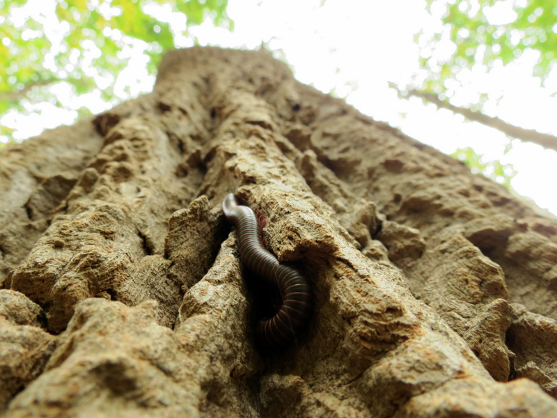 Millipede climbing tree |
 Laura dwarfed by trees ... |
 ... on Parking Lot trail |
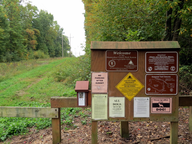 Trail head kiosk |

|
|
Photographs and content copyright © Dan Balogh Web design by Dan Balogh |