 |
|
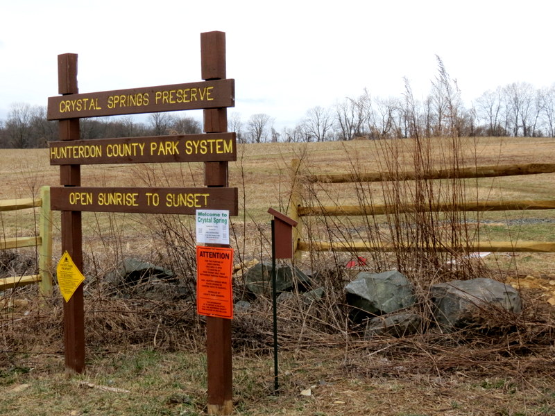
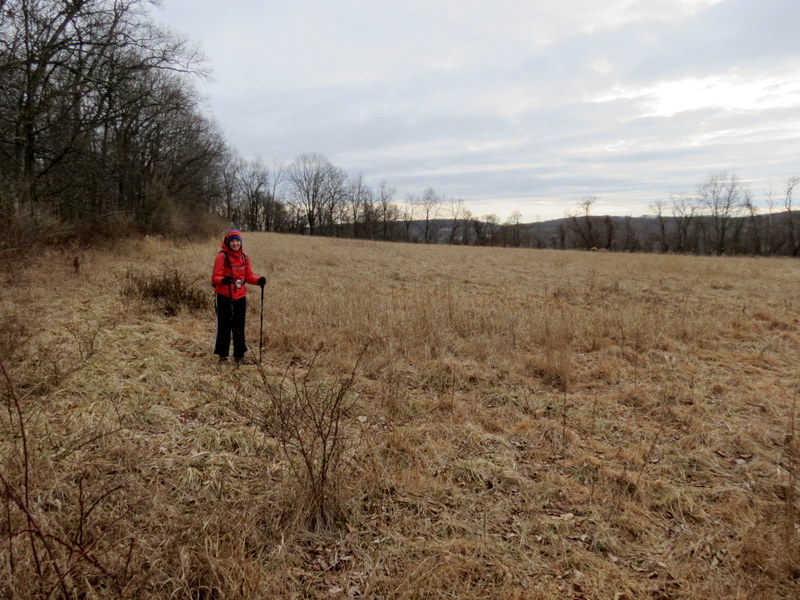
The last time we hiked this area was over eleven years ago. So, it was time to have another
look.
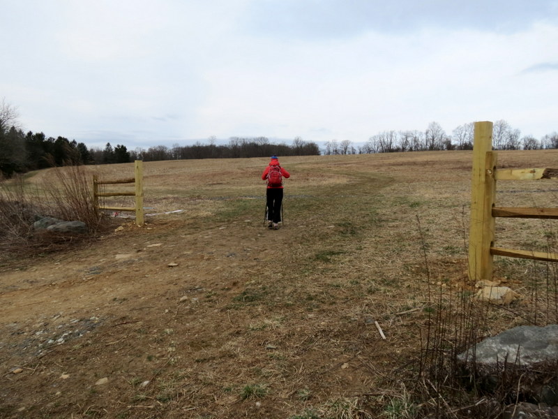
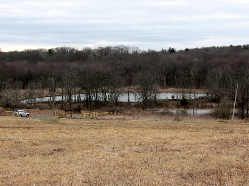
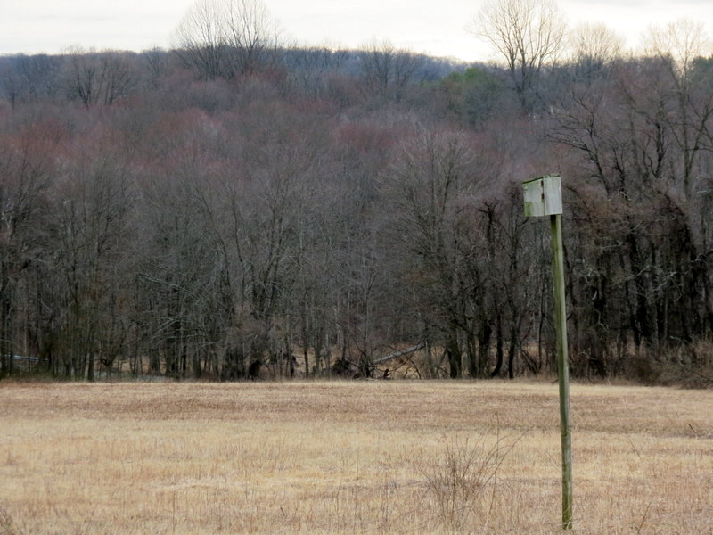
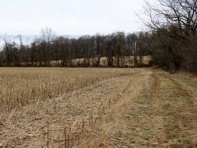
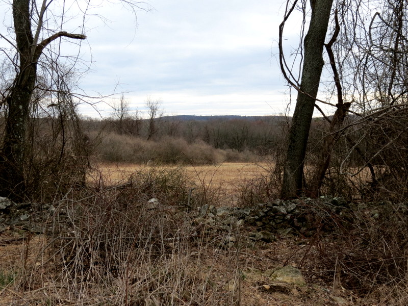
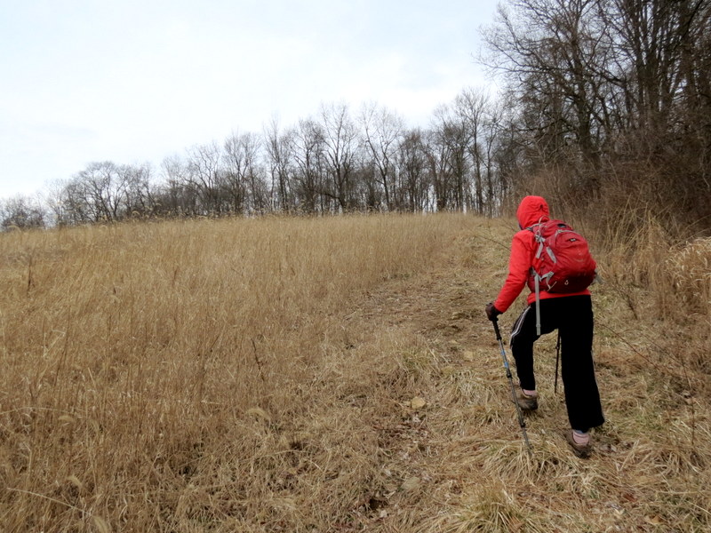
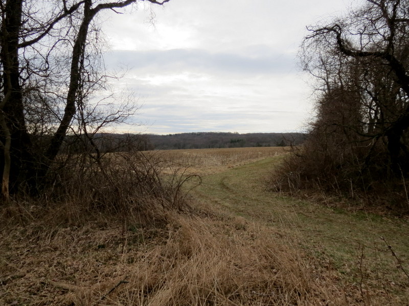
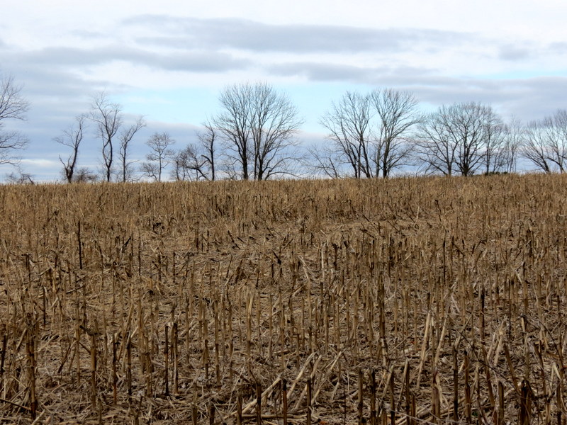
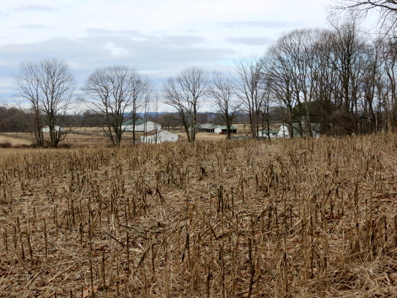
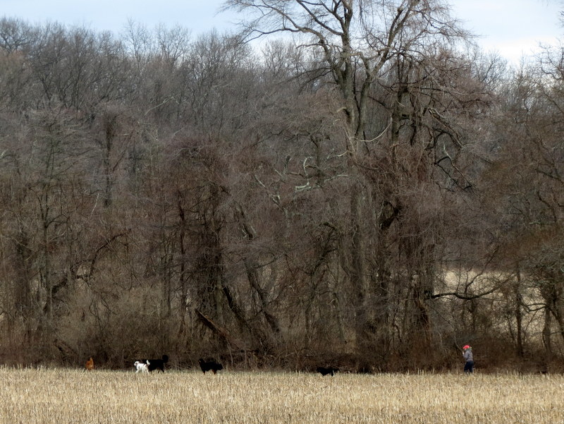
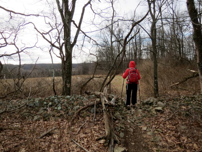
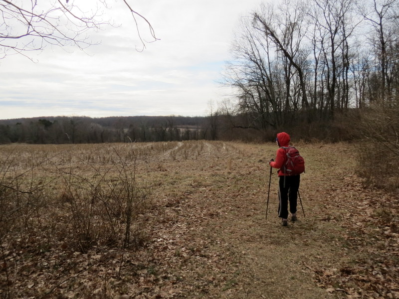
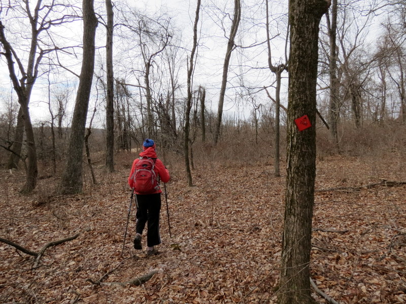
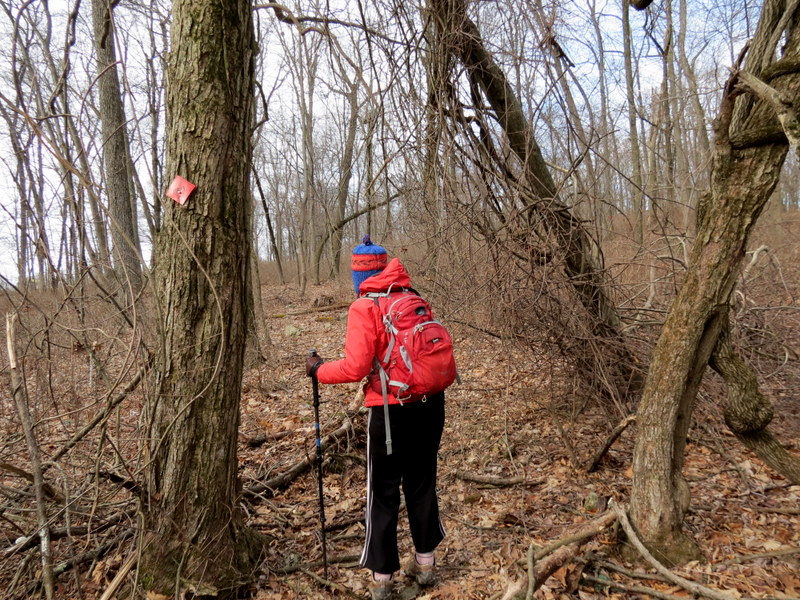
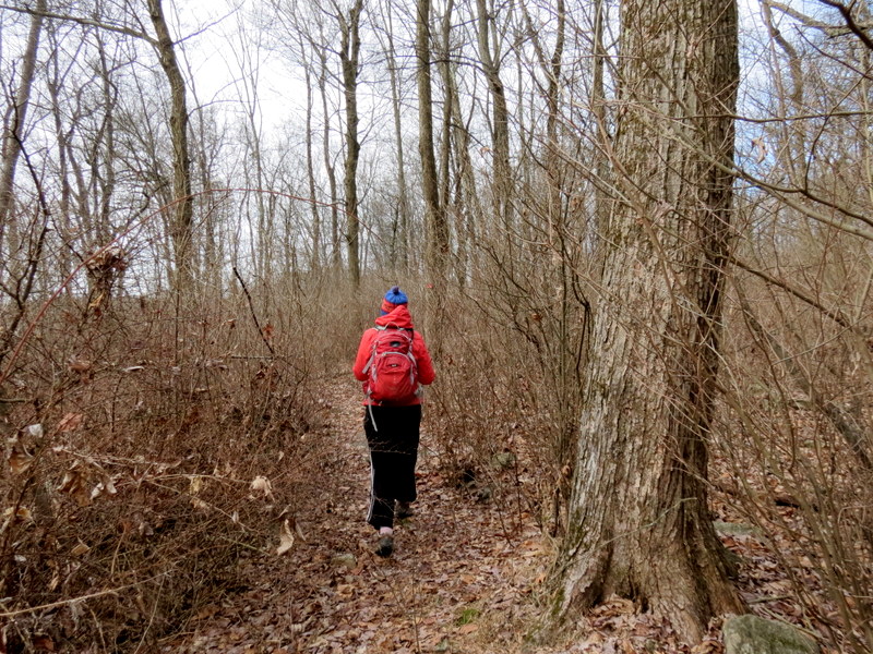
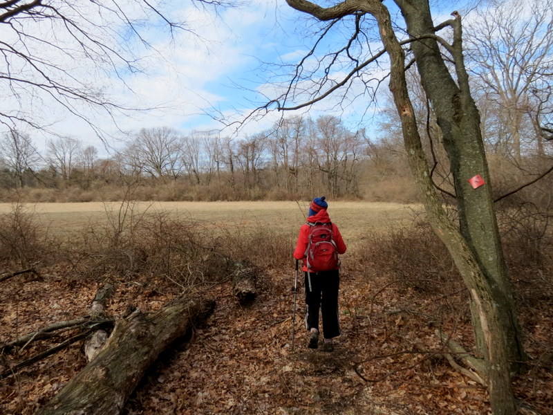
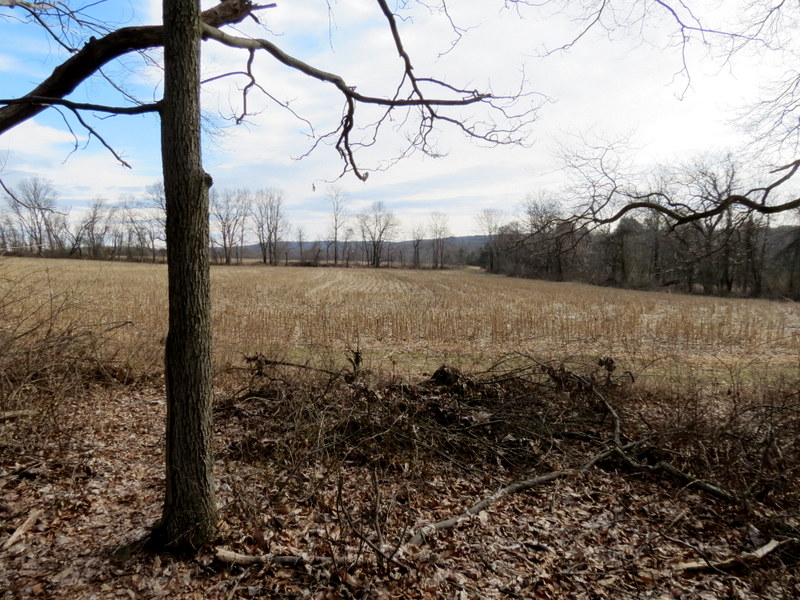
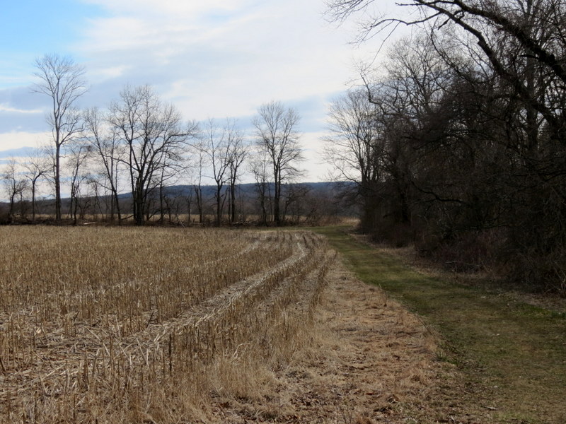
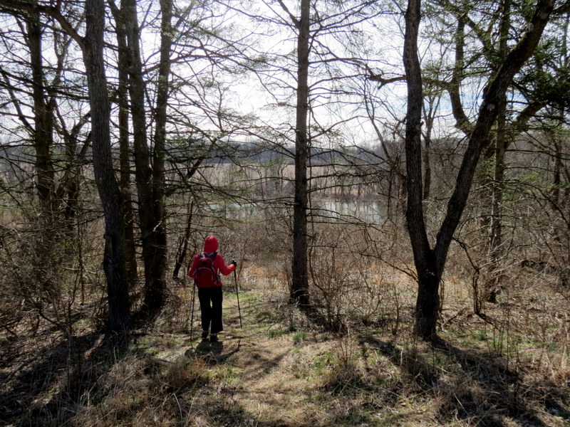
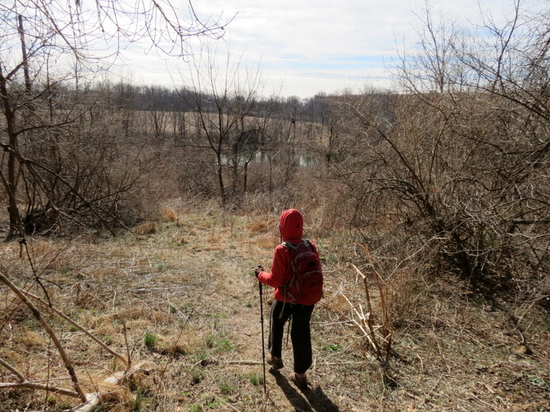
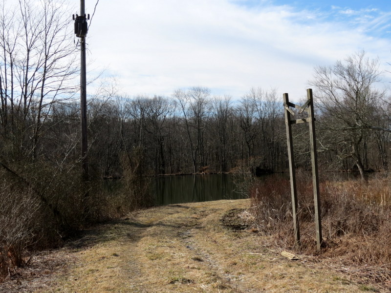
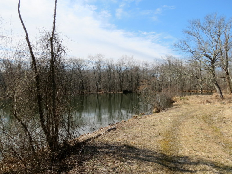
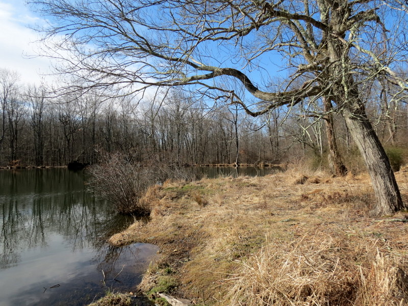
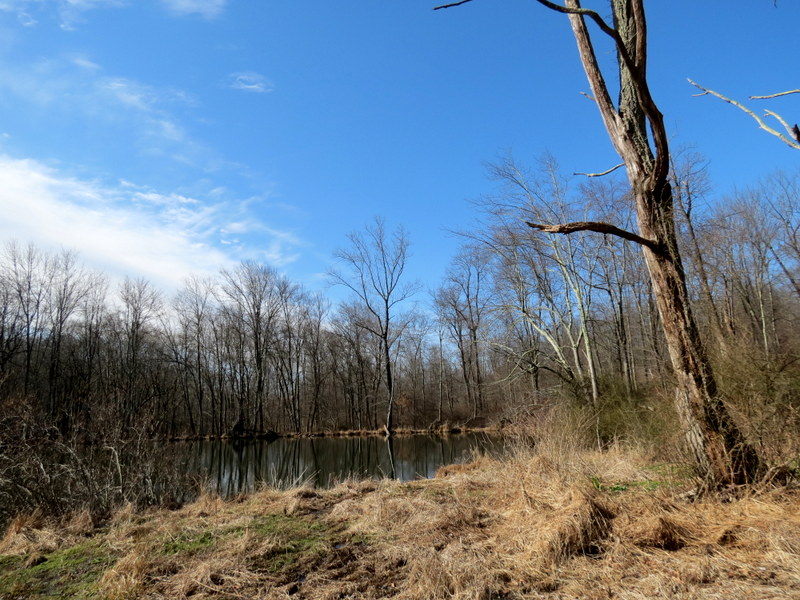
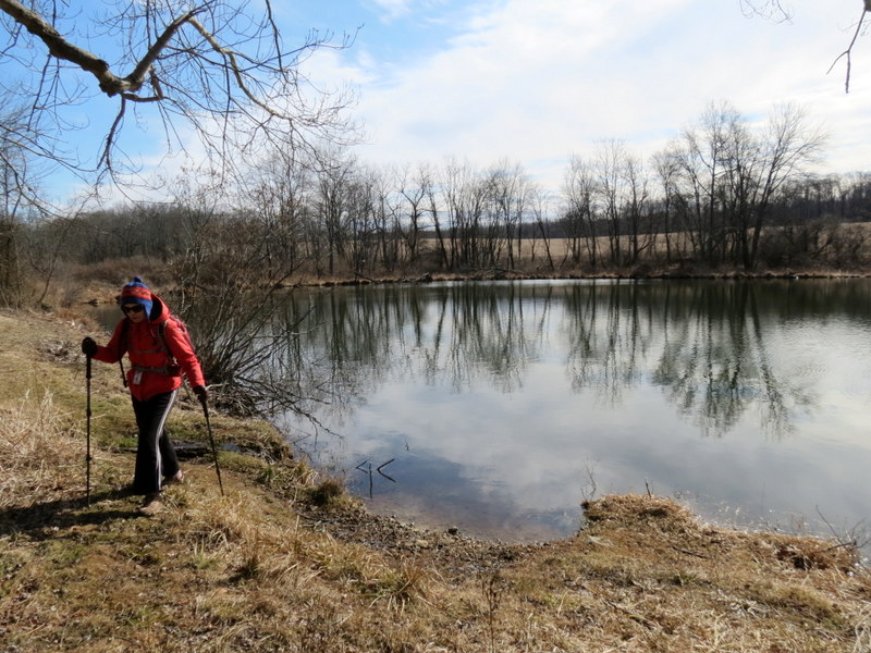
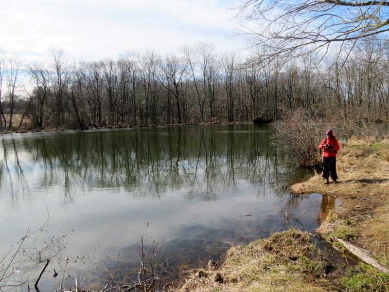
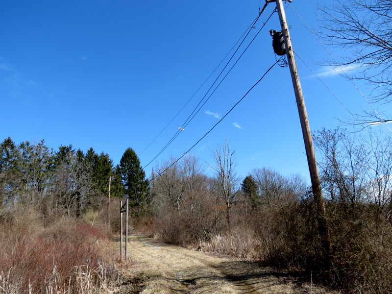
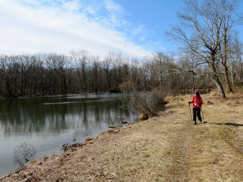
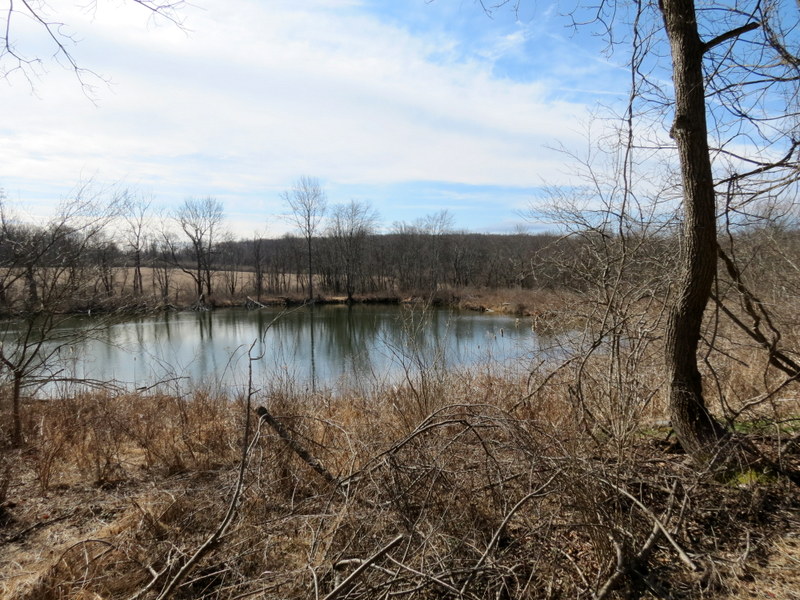
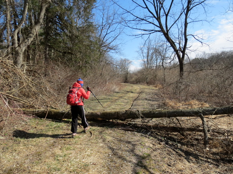
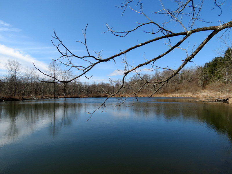
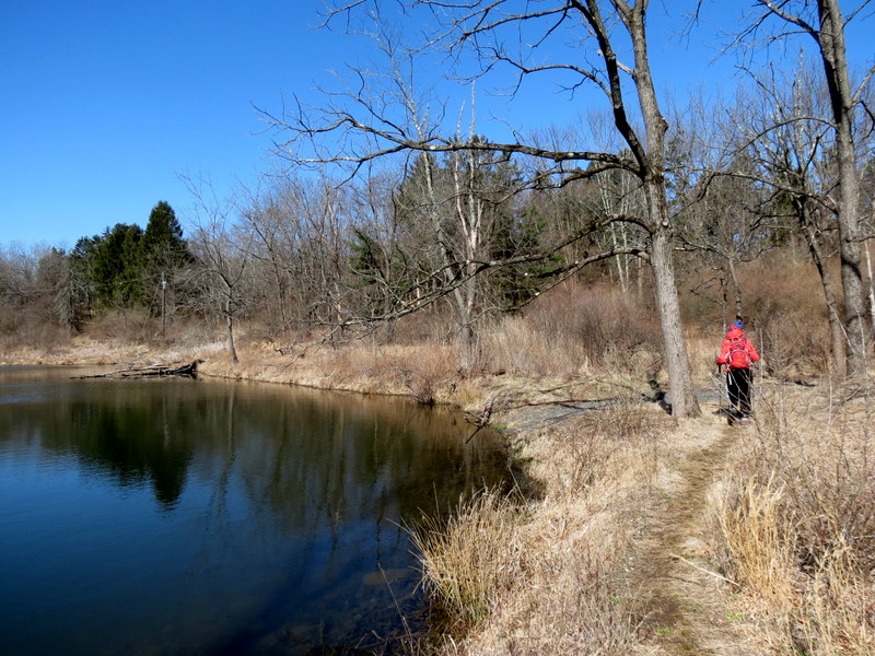
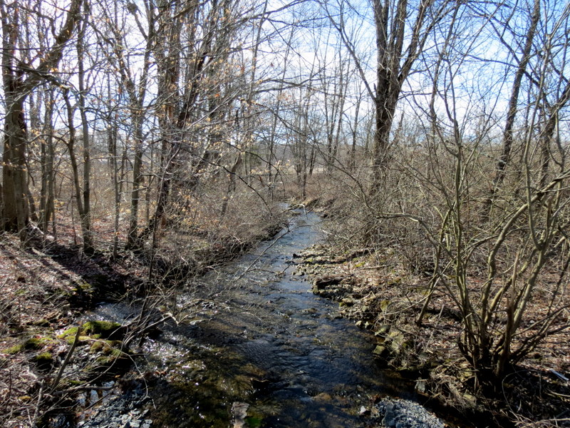
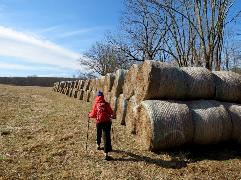
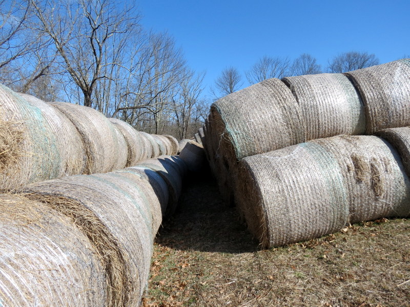
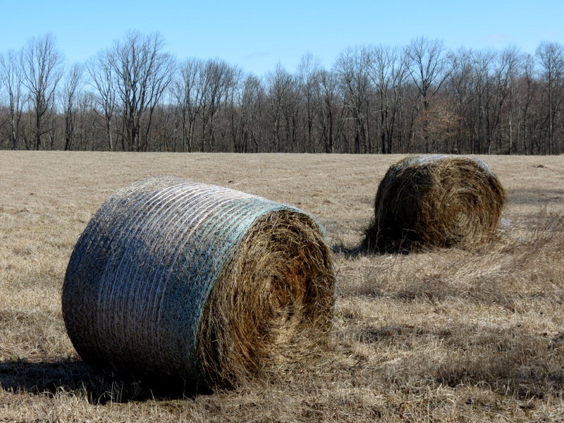
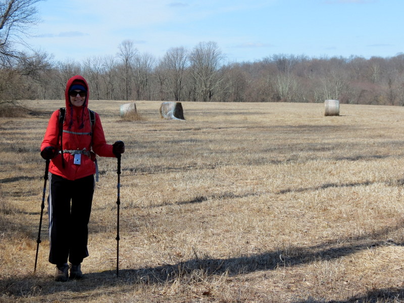
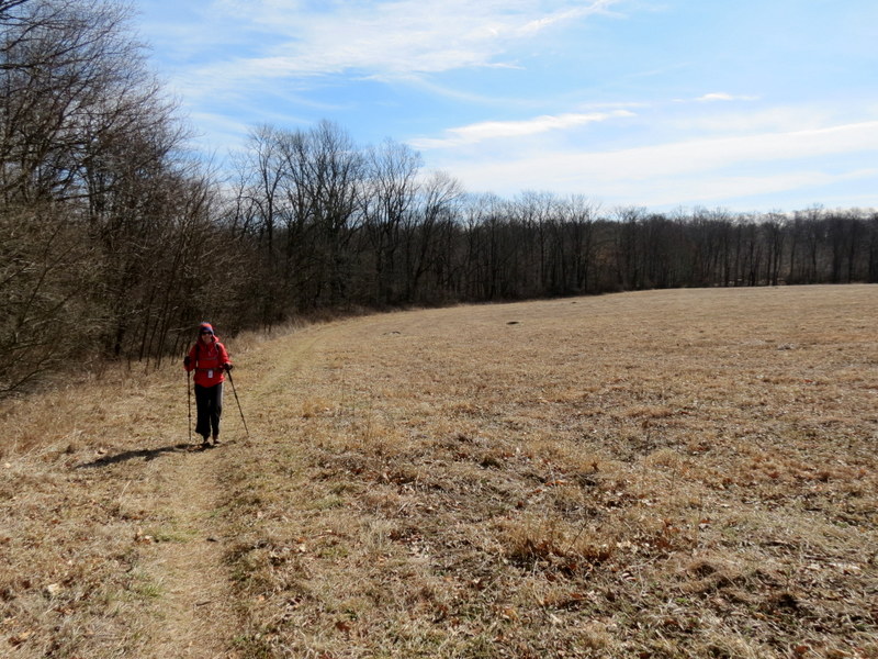
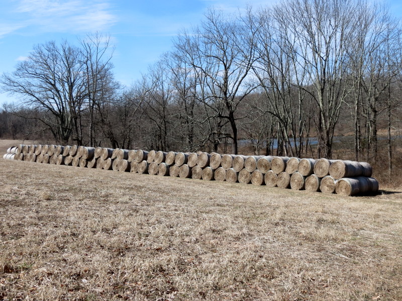
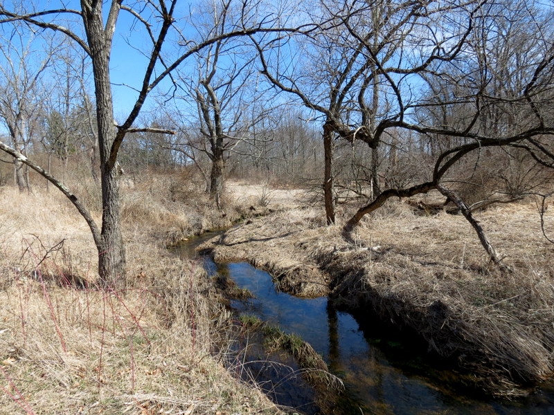
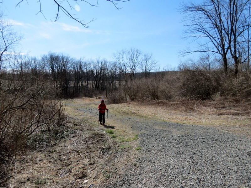
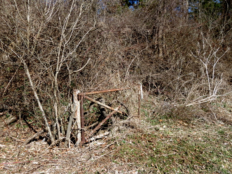
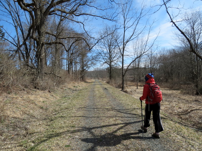
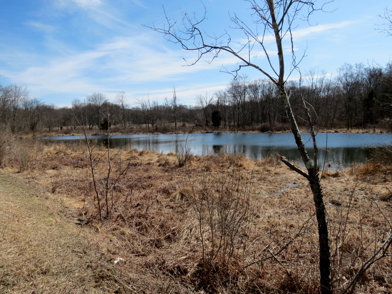
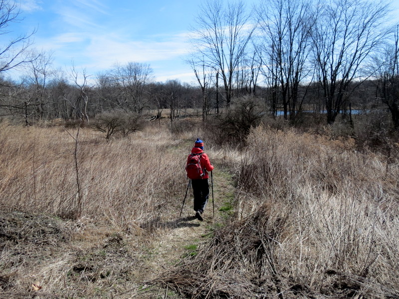
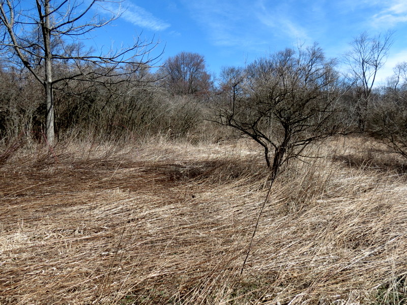
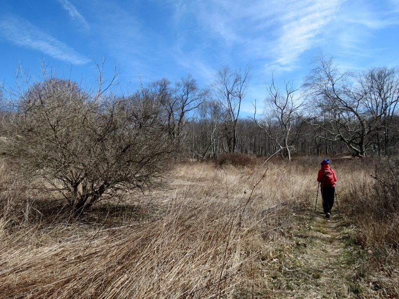
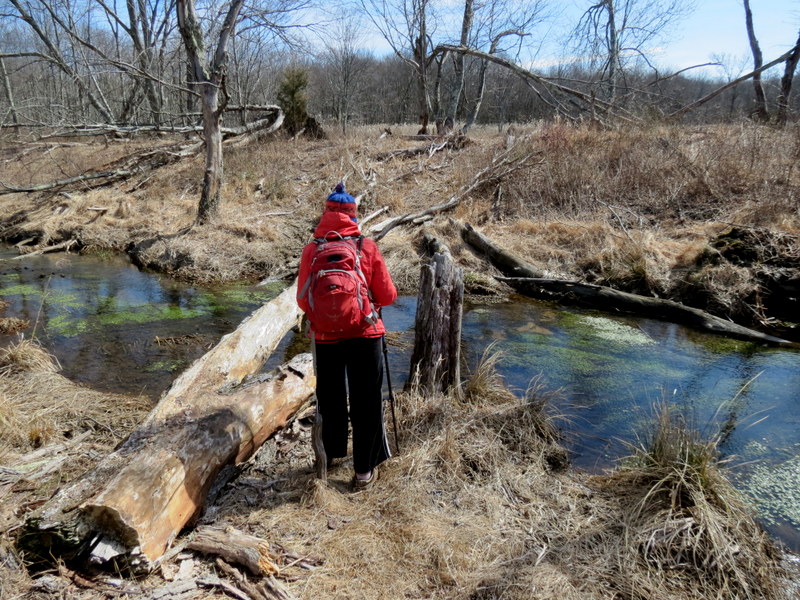
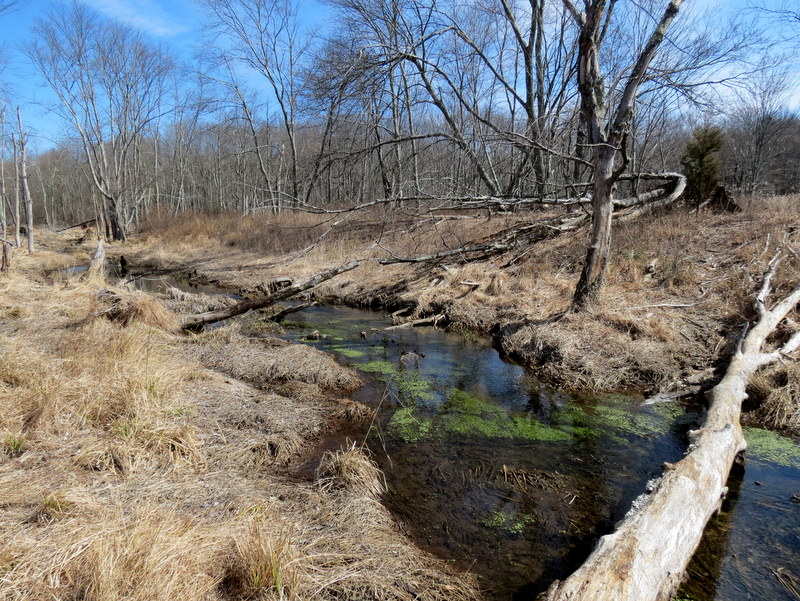
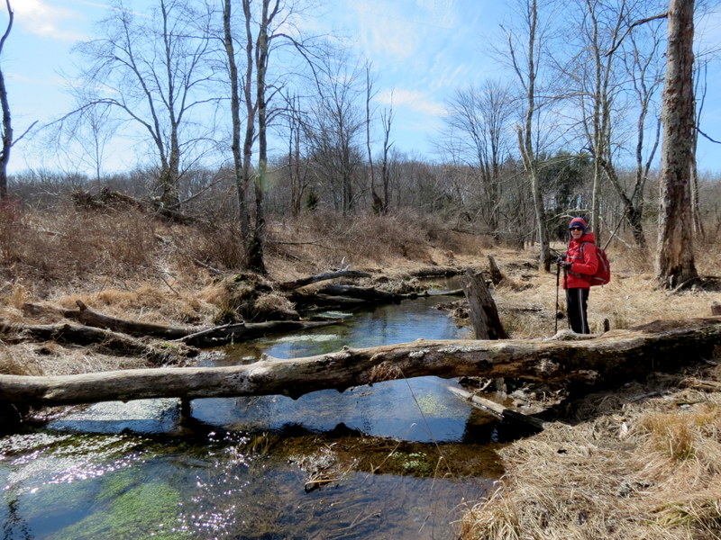
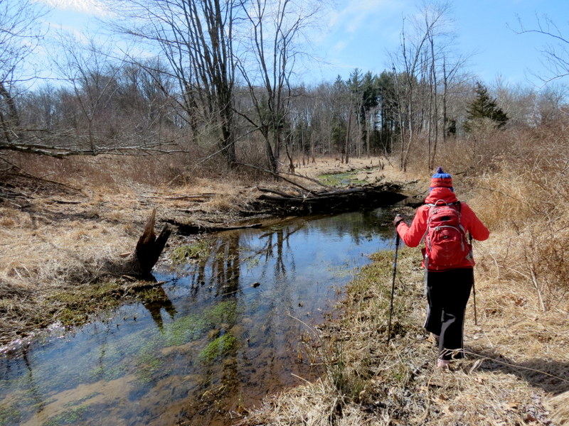
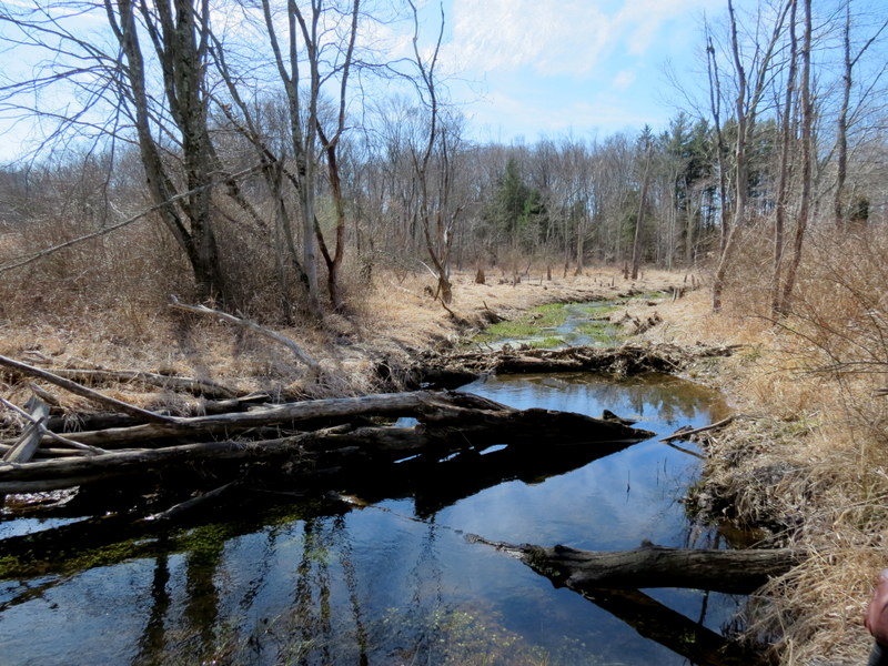
Using this map, we parked in the lot near the ponds and headed north into the field. We did the entire white trail and explored a red connector trail (not on the map) which heads west to the Turkey Top hunting area. We turned back when the blazes ended. We hiked much of the unblazed trails in the southern part before returning to the car. However, we couldn't find a way to cross over Spruce Run to hike the bank of the eastern-most pond on the map. Total distance hiked today was 4.2 miles in two hours and forty-five minutes.
(Click on the thumbnail to bring up a bigger image in a pop-up window)
|
 |
 |
 |
 |
 |
 |
 |
 |
 |
 |
 |
 |
 |
 |
 |
 |
 |
 |
 |
 |
 |
 |
 |
 |
 |
 |
 |
 |
 |
 |
 |
 |
 |
 |
 |
 |
 |
 |
 |
 |
 |
 |
 |
 |
 |
 |
 |
 |
 |
 |
 |
 |
 |
 |
 |
 |
 |
 |
 |
 |

|
|
Photographs and content copyright © Dan Balogh Web design by Dan Balogh |