 |
|
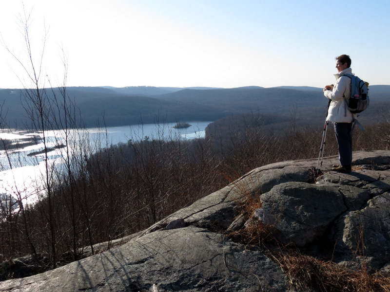
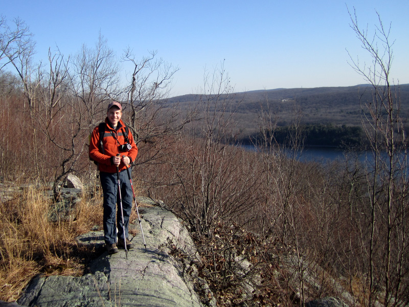
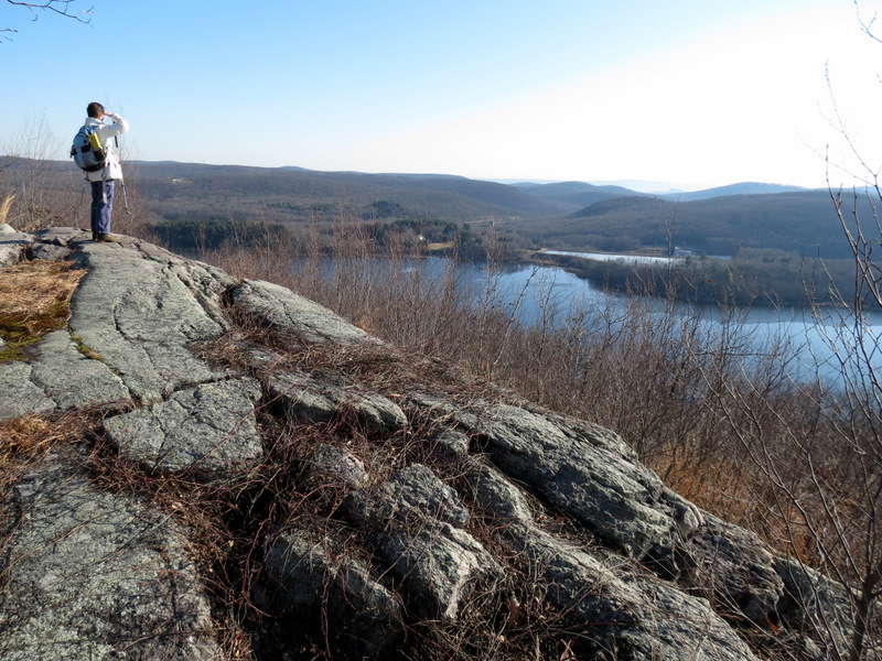
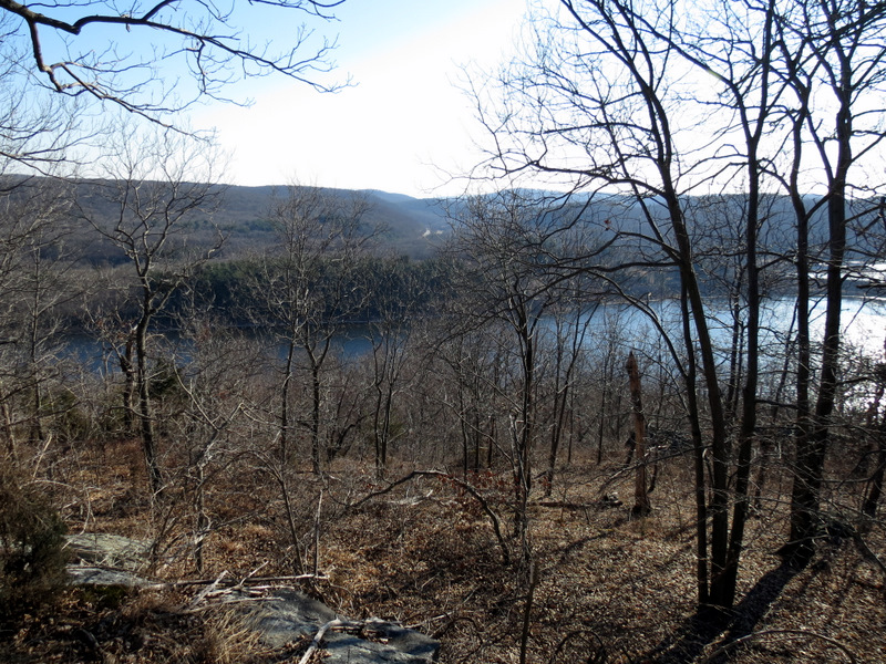
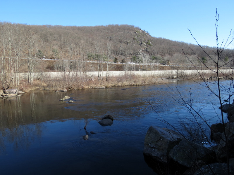
Today we climbed Copperas Mountain on the Four Birds trail to enjoy one of the most spectacular views in New Jersey, overlooking the Charlotteburg Reservoir. We hiked a
lollipop of my own invention. We parked on Route 513 (Green Pond Road) and took the trail east to the ridge of Copperas Mountain, hitting the two vistas (very near each
other) denoted on the NYNJTC Jersey Highlands Trails Map #125. According to the New Jersey Walkbook, there is another panoramic view 0.6 miles south from where we
stopped, but the map has no indication of such a view, and since I couldn't imagine getting a better view, we decided to forgo the extra 1.2-mile out-and-back.
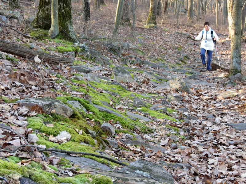
After taking in the magnificent view we headed NE on a path denoted on the map as an "unmaintained trail" (red dashed). Far from being unmaintained, it was quite nicely graded and very easy to follow, all the way to the abandoned Wharton and Northern Railroad. The last 0.2 or so was some of the steepest trail we've seen in New Jersey (I can't imagine doing that part when it's icy). We headed west on the abandoned RR bed making a left, very shortly thereafter, onto a woods road (as indicated on the map) which began as an eroded partial stream, but soon became an obvious woods road. This we took SW back to the Four Birds Trail, which we then took west back to the car. Total distance hiked today was nearly 4 miles in just over 2.5 hours. A permit is required for hiking in this area, which can be purchased at the office on Echo Lake Road. The permits are good for the calendar year, so the earlier you purchase it the longer you will have to hike in these areas.
|
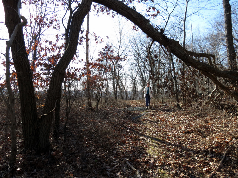
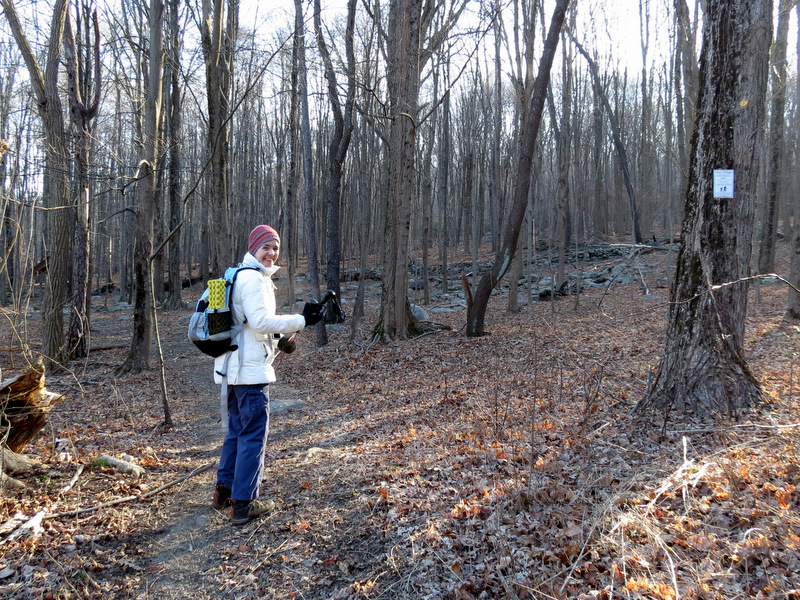 Starting east of Route 513 |
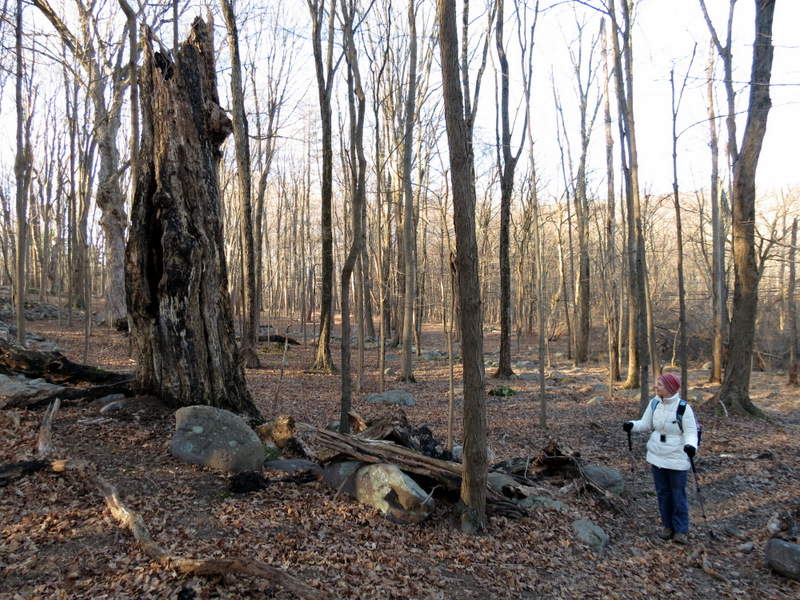 Old tree |
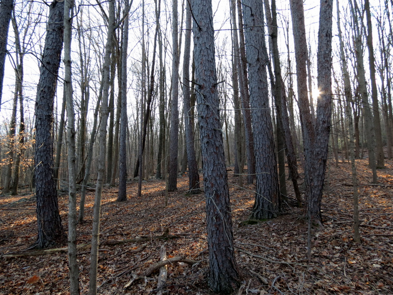 Lovely pines |
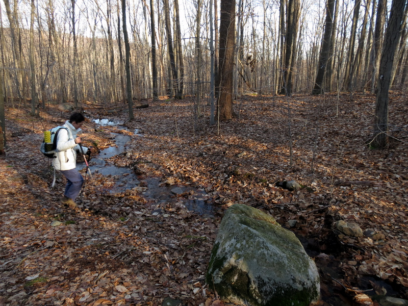 Tiny creek |
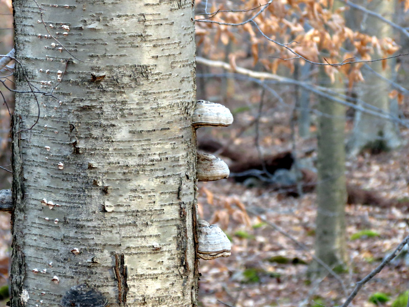 Mushrooms |
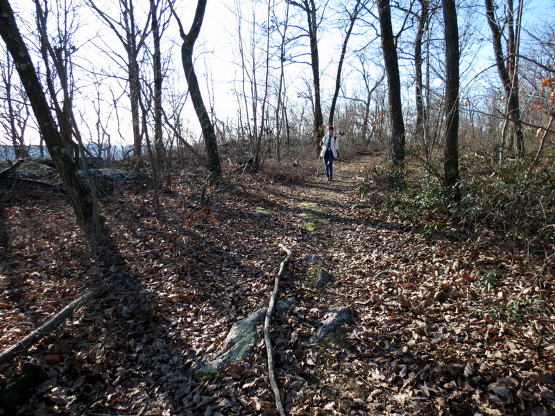
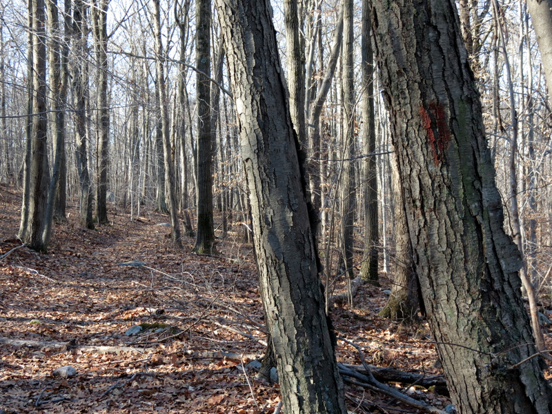
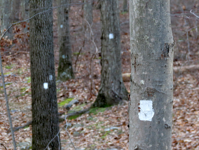 Well-blazed Four Birds trail |
 Sphagnum moss |
 |
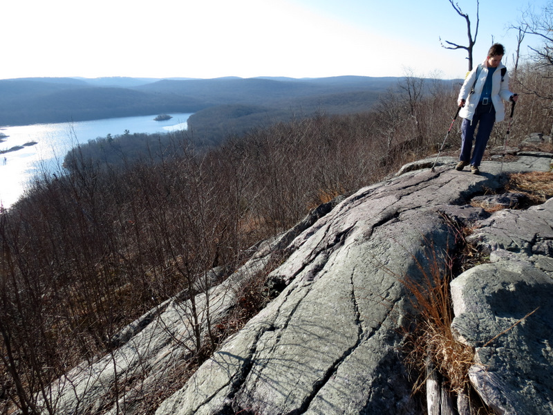
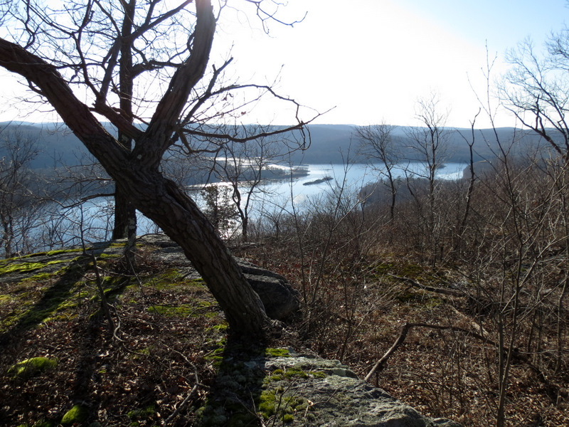 First views ... |
 ... of the ... |
 ... Charlotteburg Reservoir |
 [Photo by Laura] |
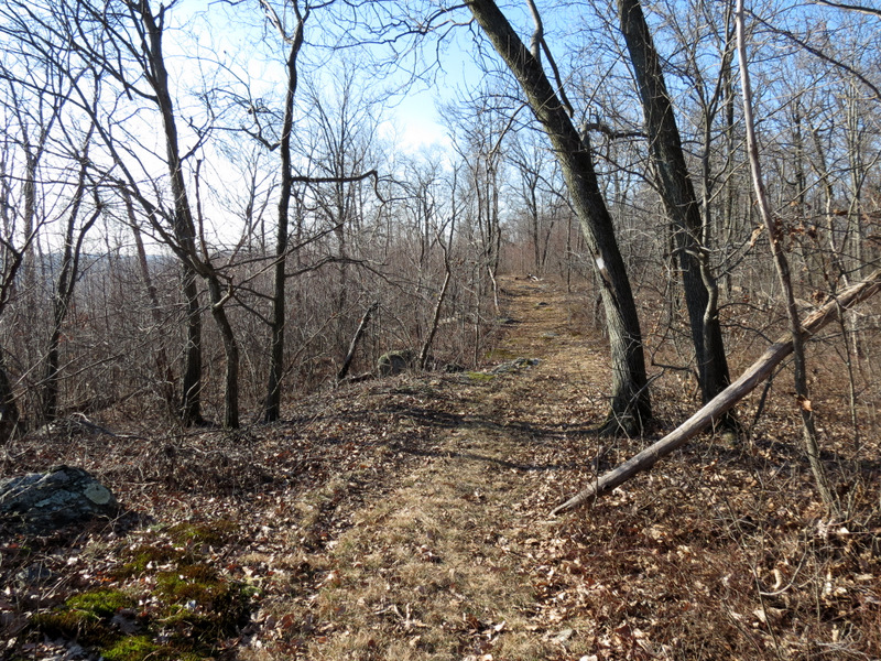 Four Birds trail heading south |
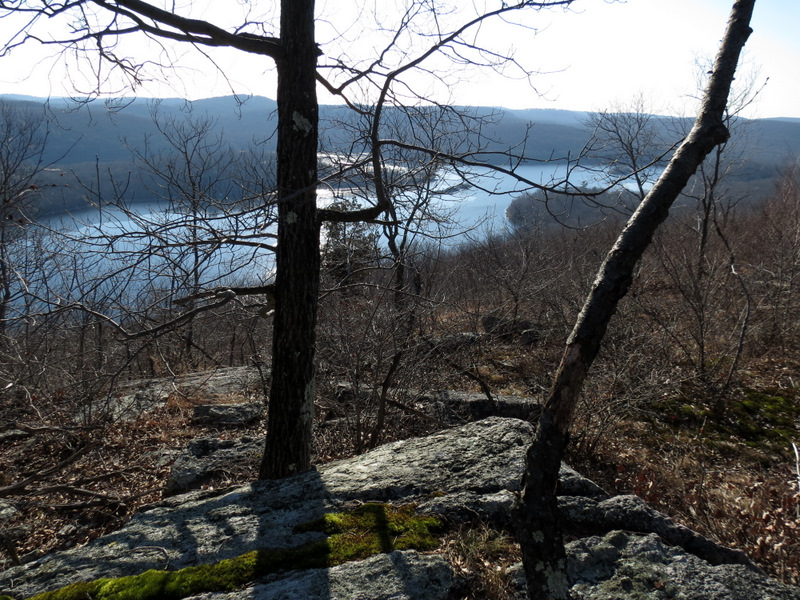
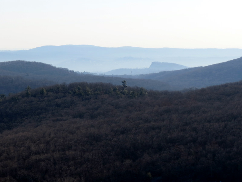
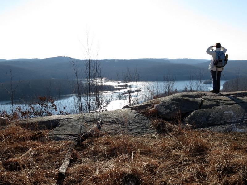
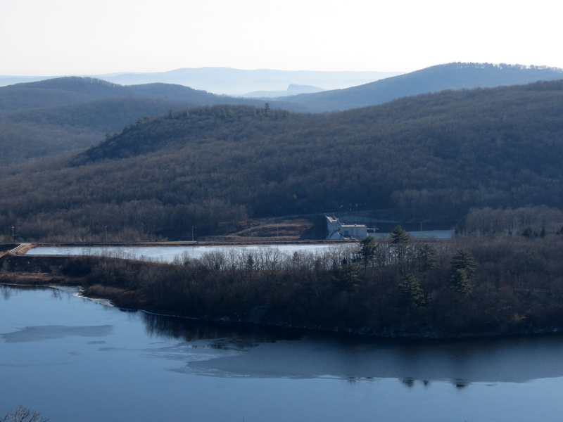 Unobstructed views ... |
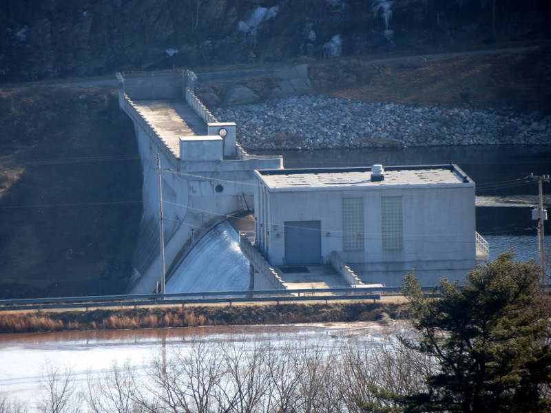 ... of reservoir building ... |
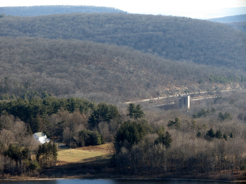 ... Route 23 |
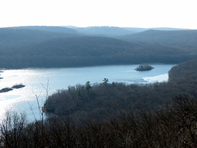 Island in southern part of reservoir |
 Hills directly east |
 |
 |
 [Photo by Laura] |
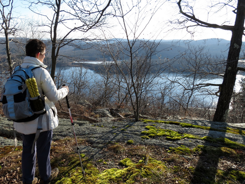
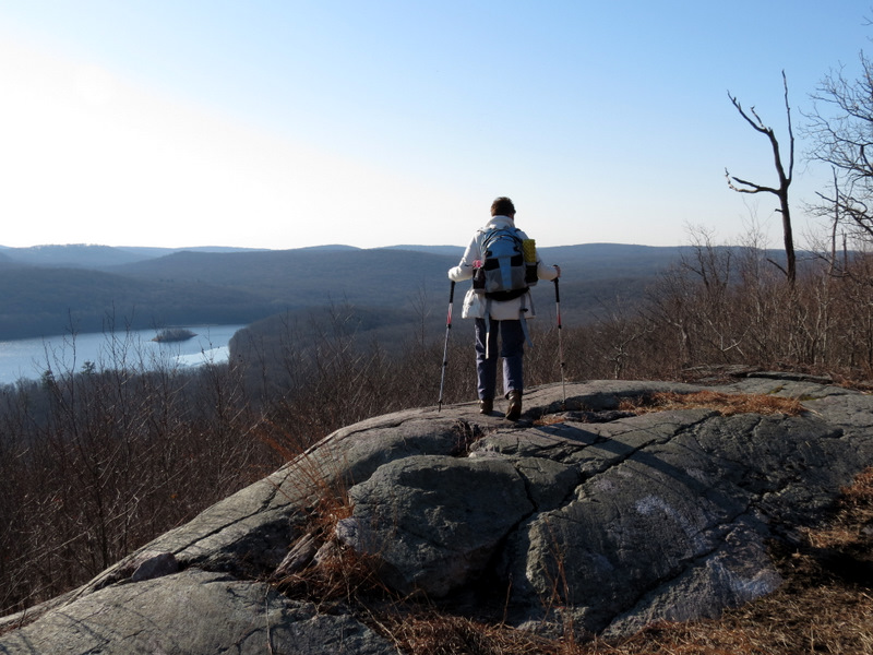
 Sweeping ... |
 ... views ... |
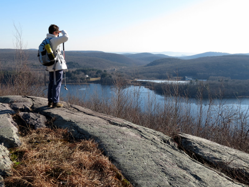 ... east |
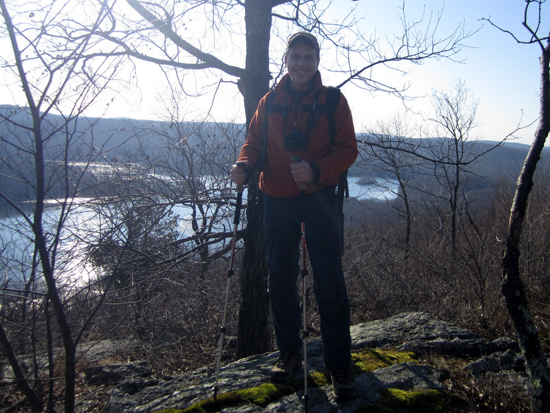
 View NE |
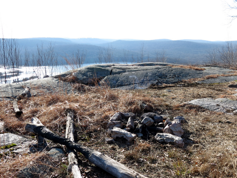 Fire ring |
 |
 On unmaintained trail |
 |
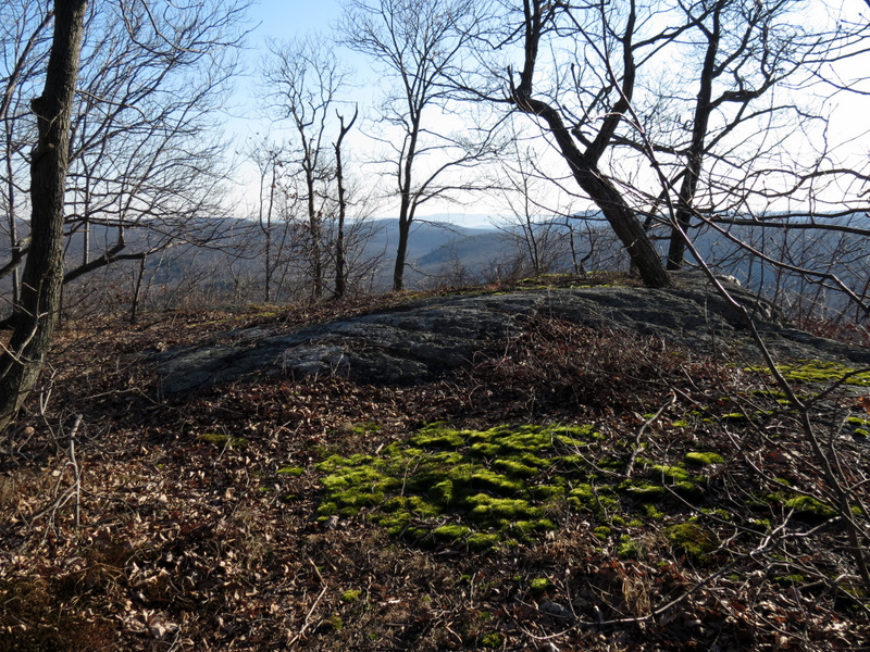
 Partial view from trail |
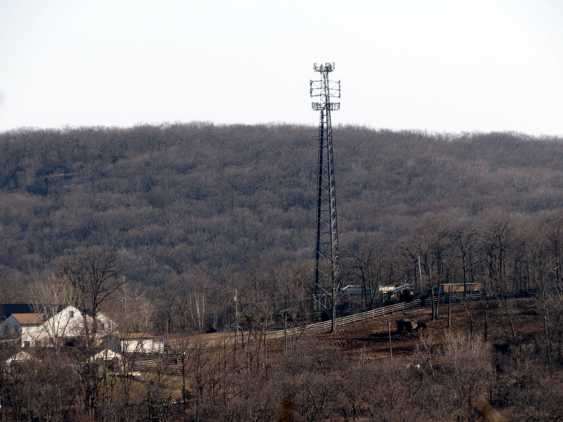 Antenna tower north |
 Steep descent |
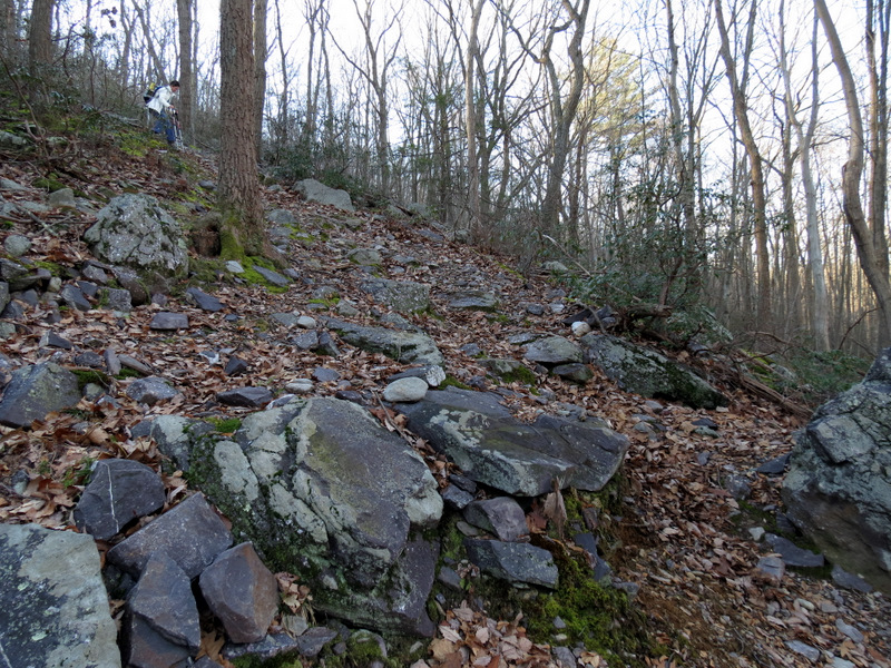 It gets ... |
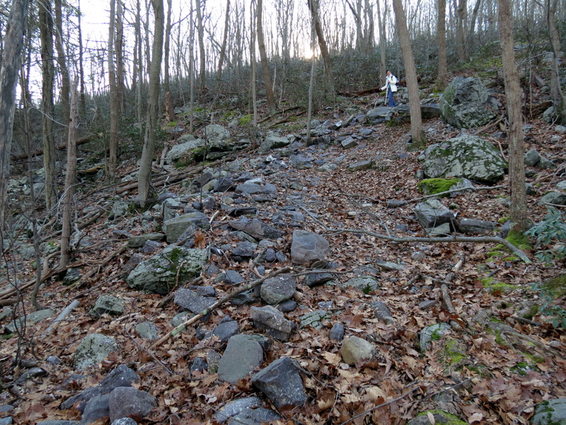 ... even steeper |
 Abandoned RR |
 Kanouse Mountain |
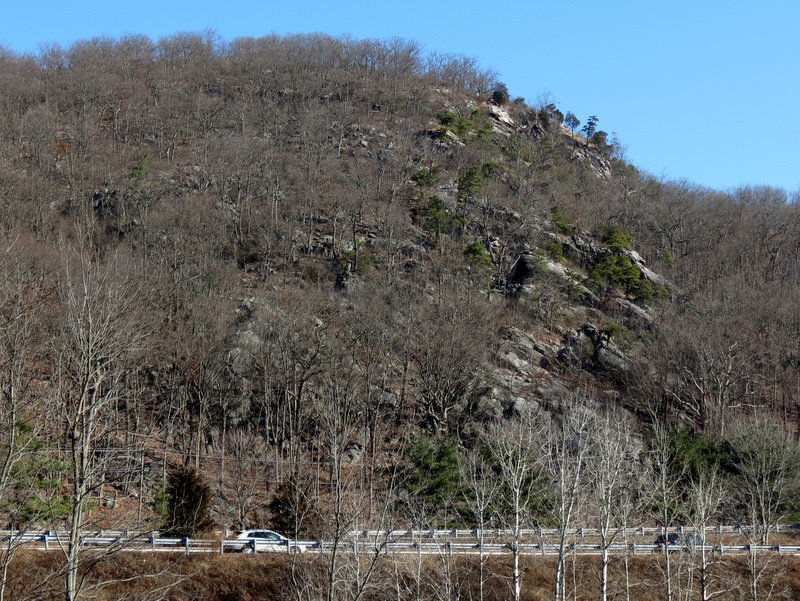 Kanouse Mountain across Route 23 |
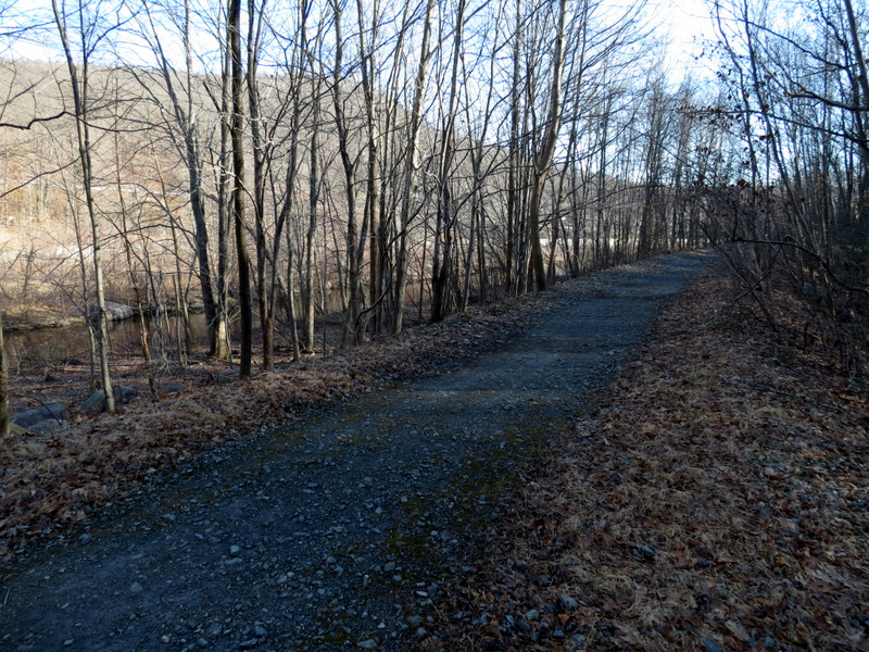
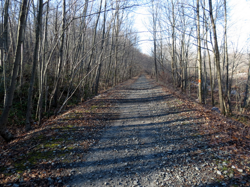 Abandoned RR looking west |
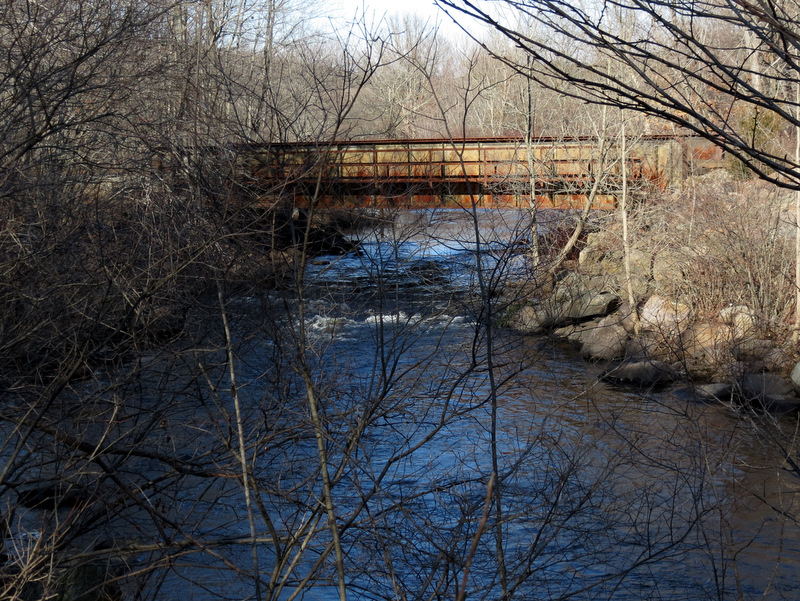 Rusted bridge of operational RR |
 View west of RR tracks |
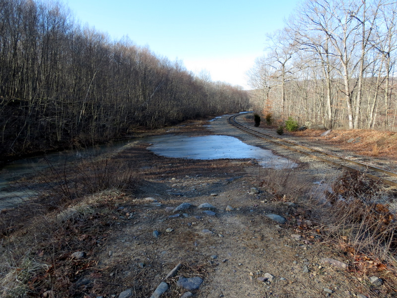
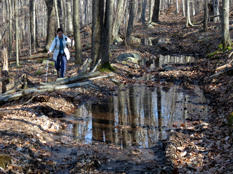
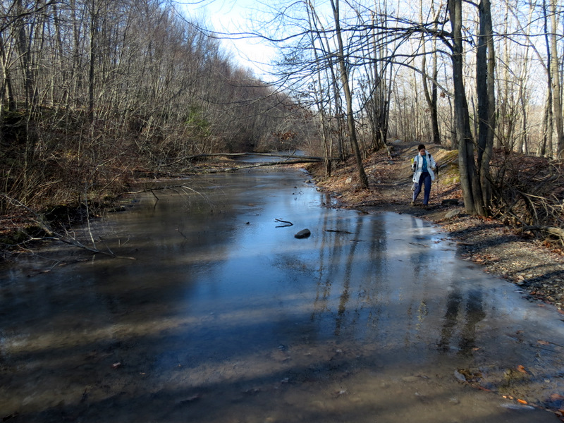 Flooded path |
 |
 Old blazes on woods road |
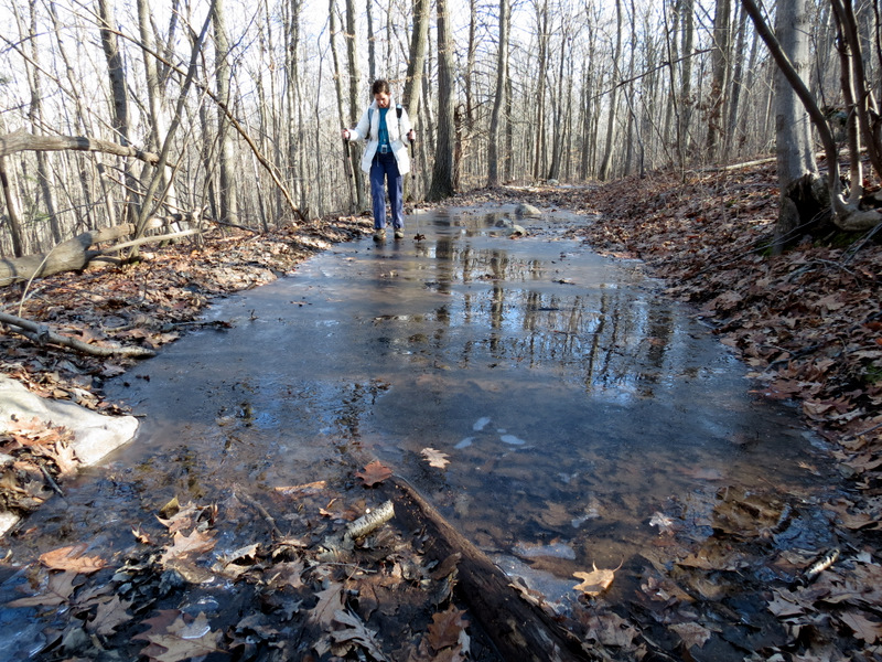 Very wet in places |
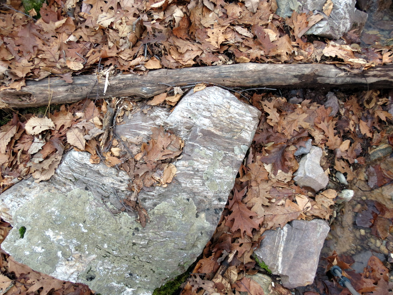
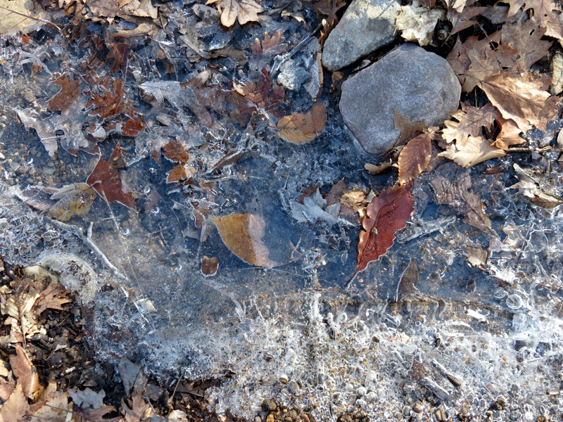 Ice art |
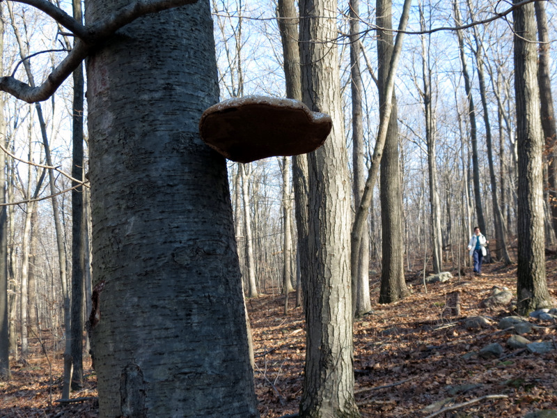 Mushroom |
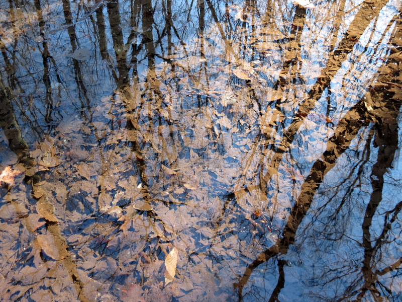 Reflections |
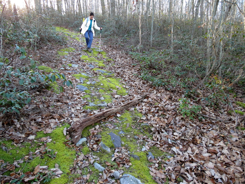
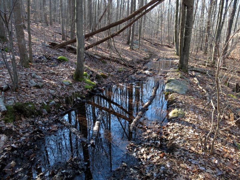 Woods road |
 |
 [Photo by Laura] |
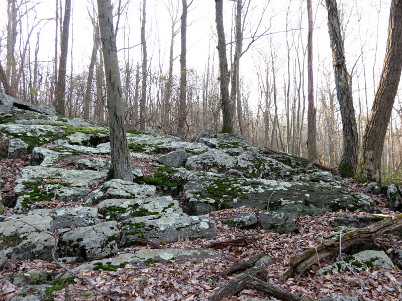
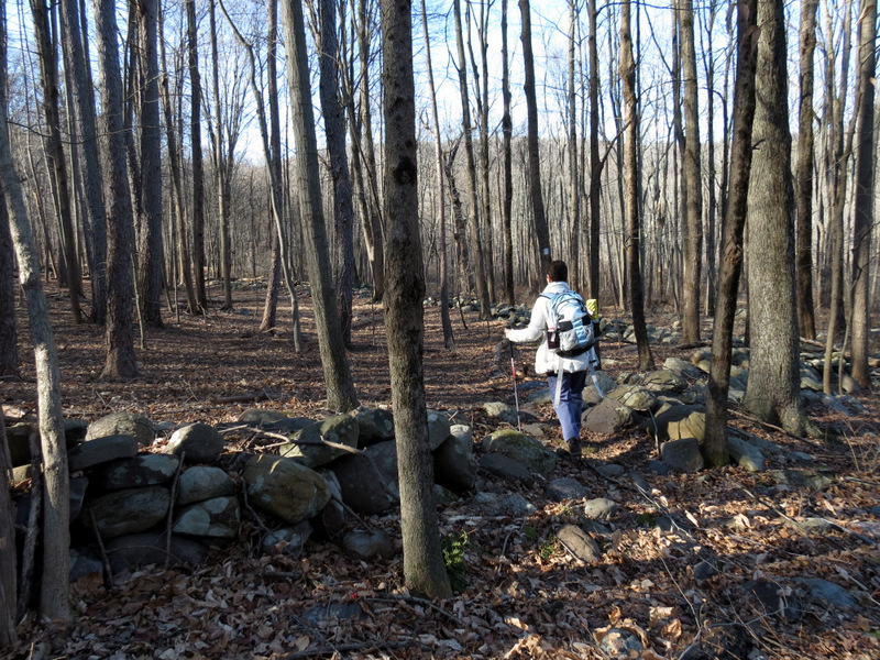 Boundary walls |
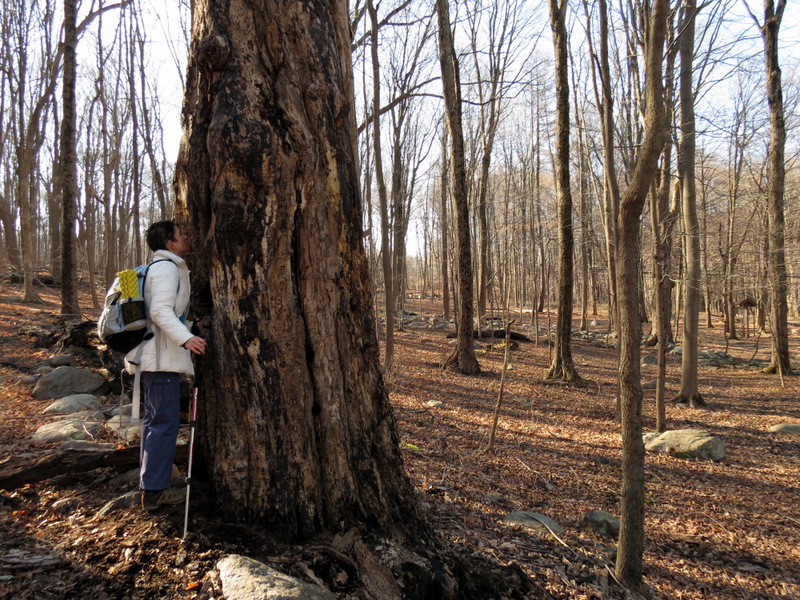 Laura discovering ... |
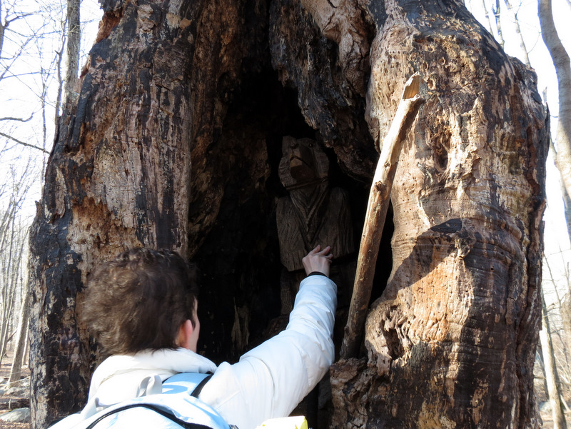 ... a bear carving! |
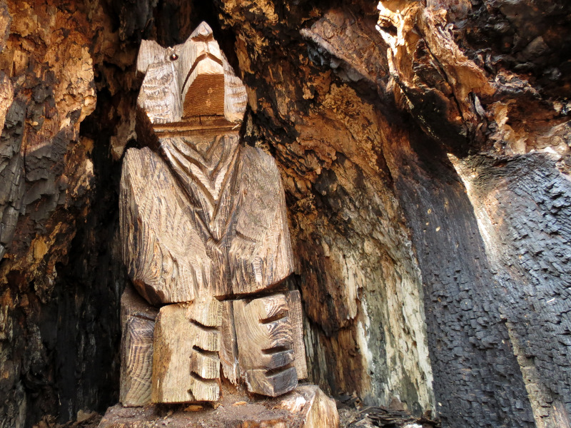 It was carved inside the tree! |
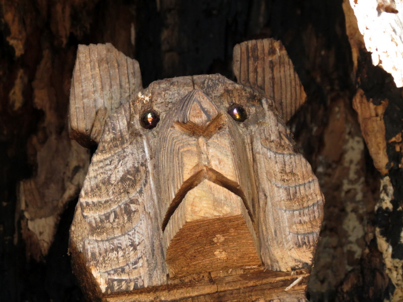 Close-up of face |
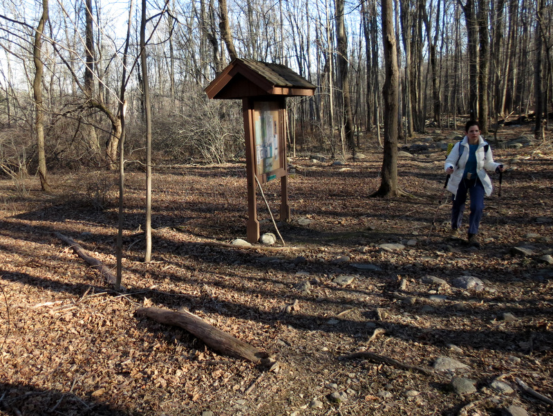 Kiosk |

|
|
Photographs and content copyright © Dan Balogh Web design by Dan Balogh |