 |
|
We didn't have much time to hike today, and started later than usual, so we visited two areas within 15 minutes of our house (Becker Park and Riker Hill), planning
on hiking them both via this park. Unfortunately if there was a connecting path, it's no longer there. The
official map shows no connecting path between the two
parks, but this map from the Becker Park Conservancy webpage does show one and the notes
here describe that connection.
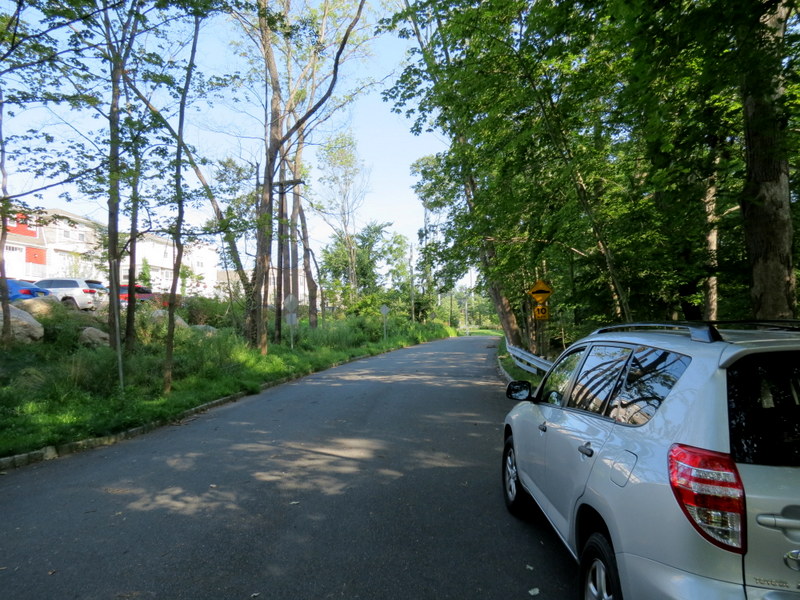
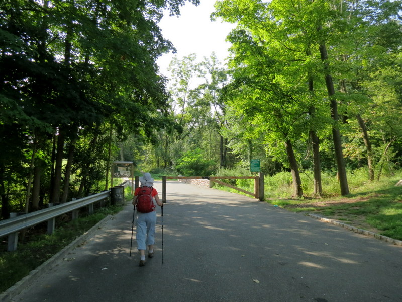
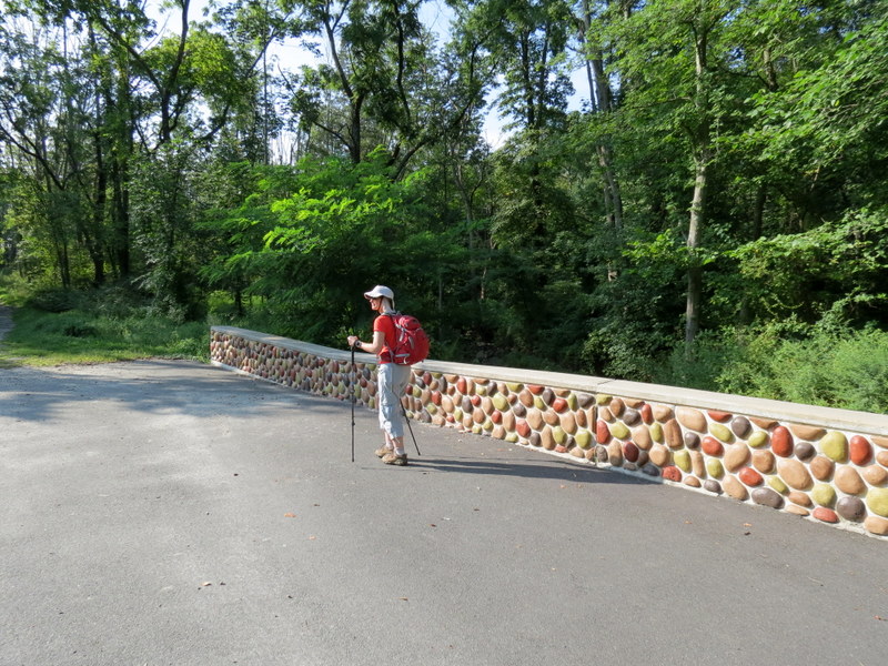
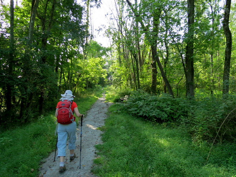
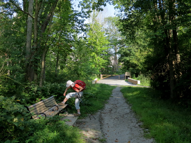
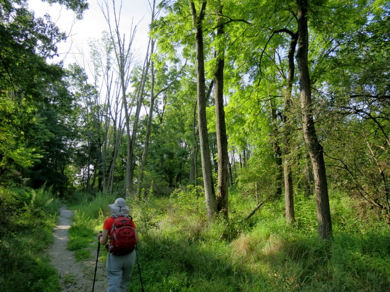
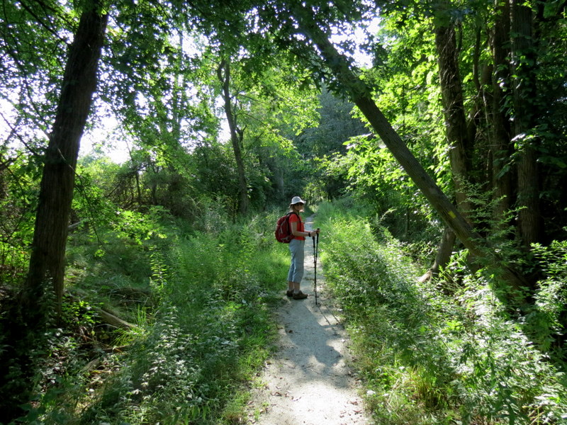
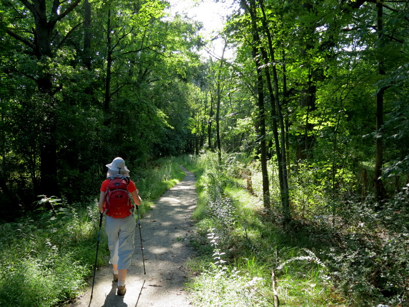
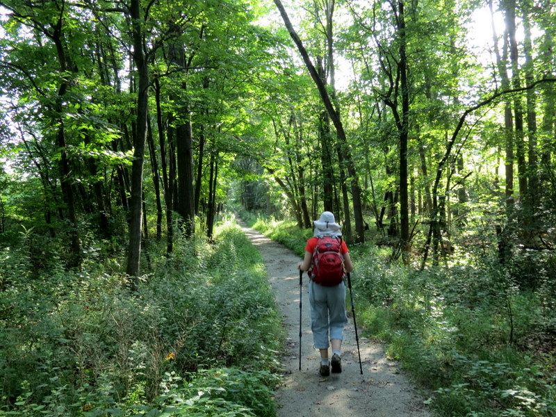
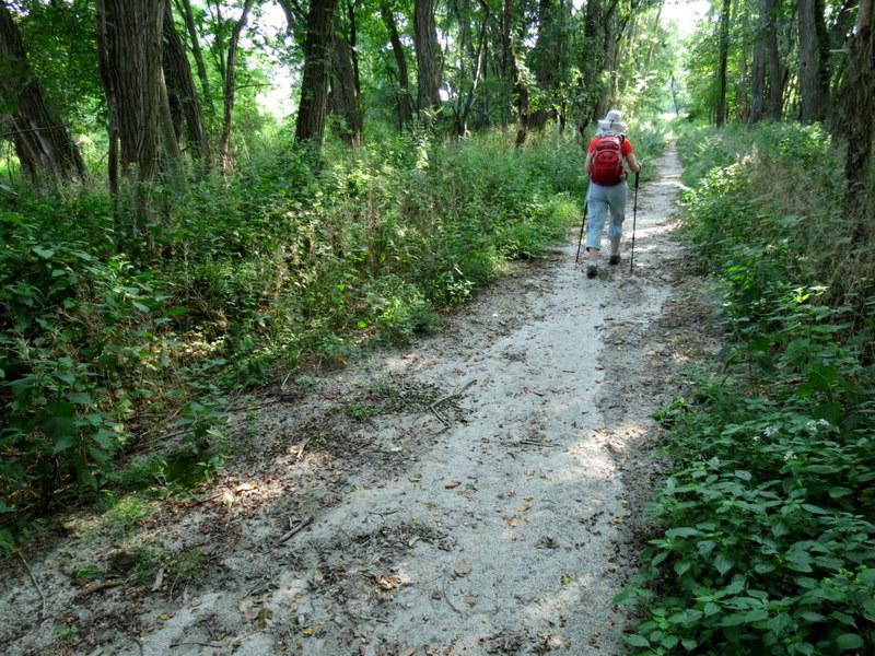
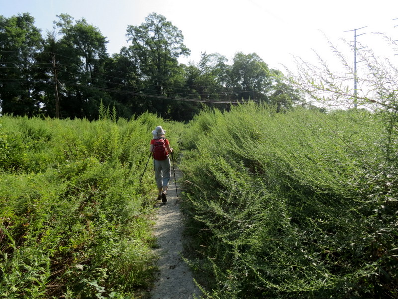
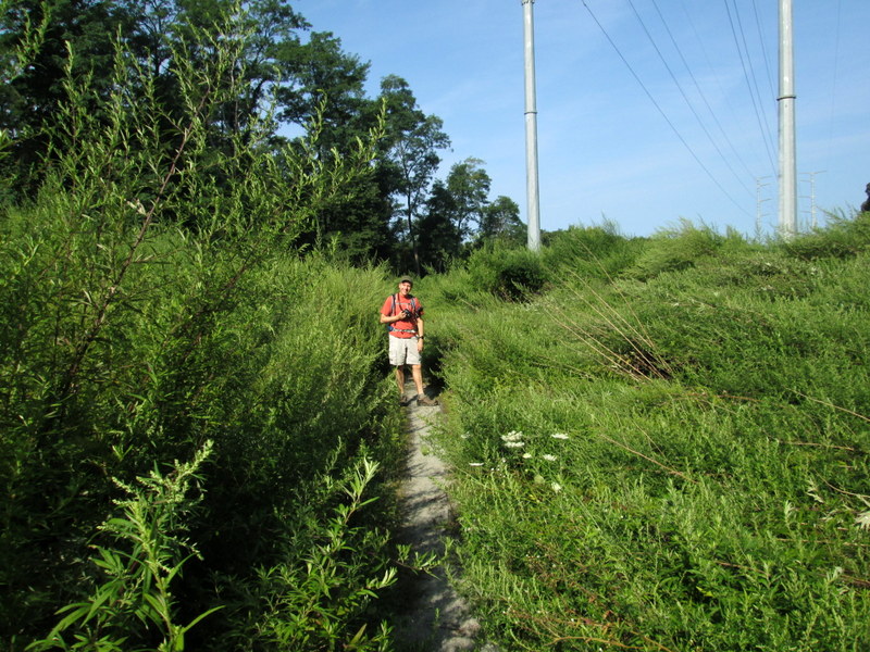
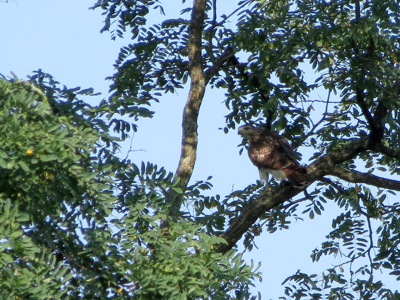
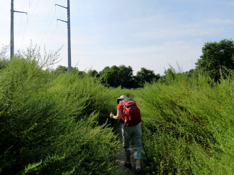
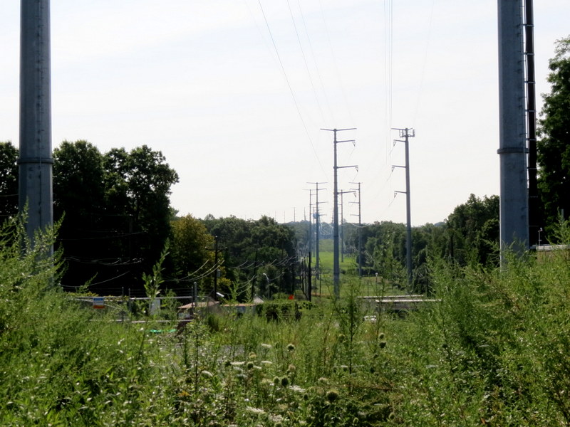
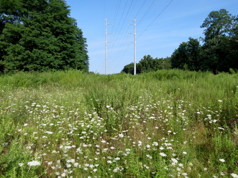
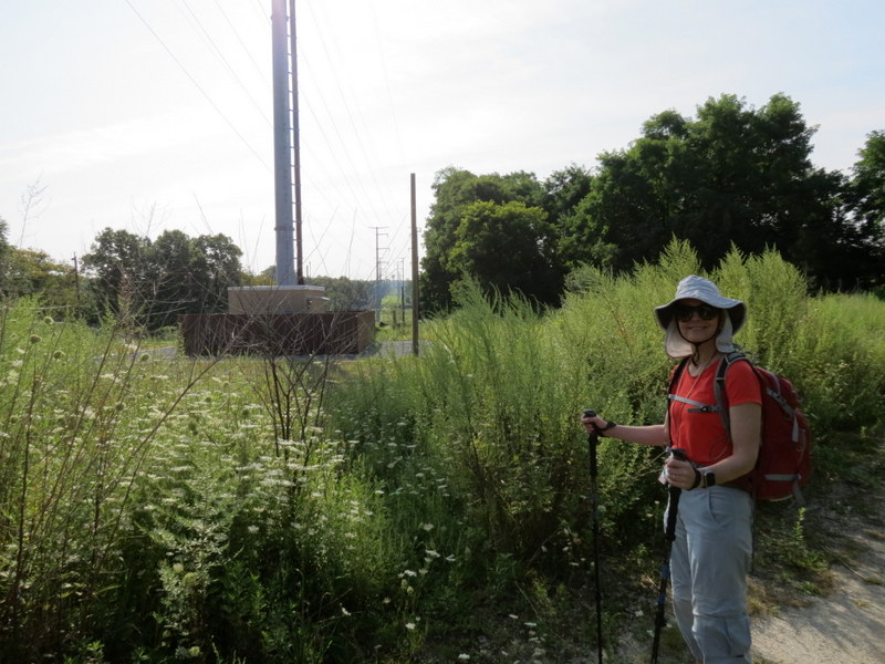
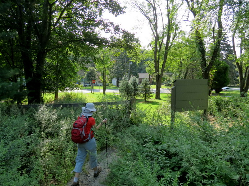
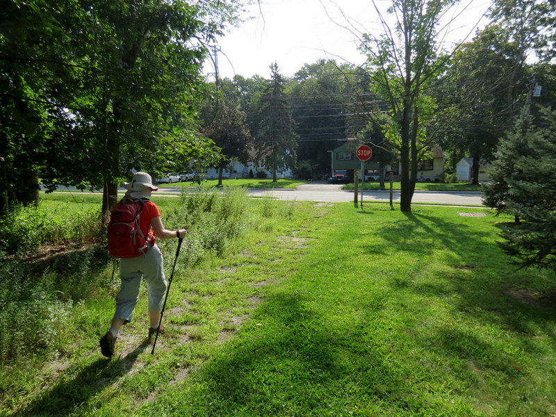
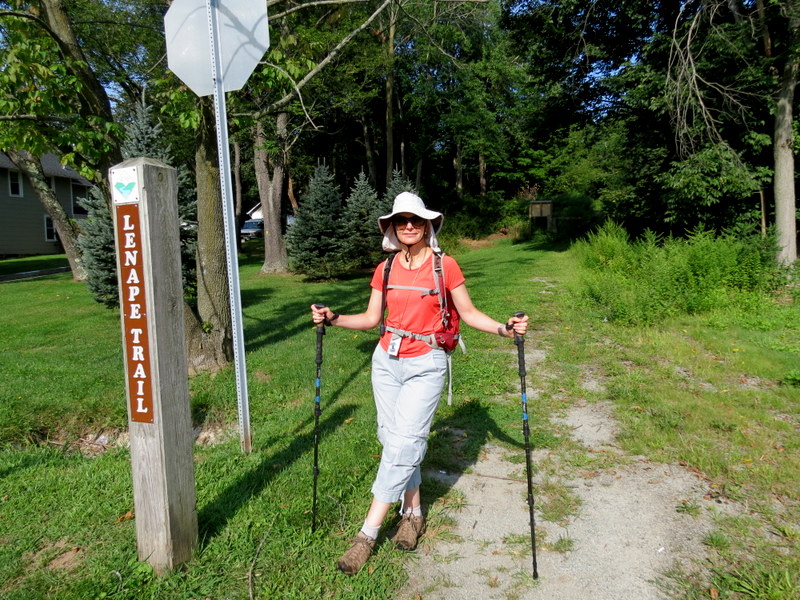
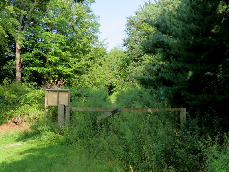
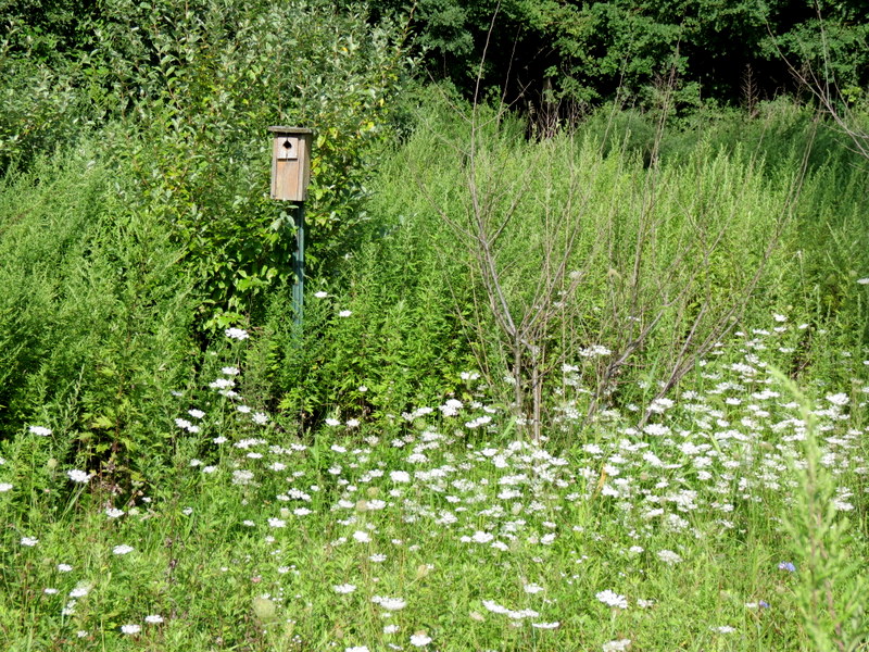
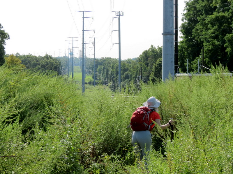
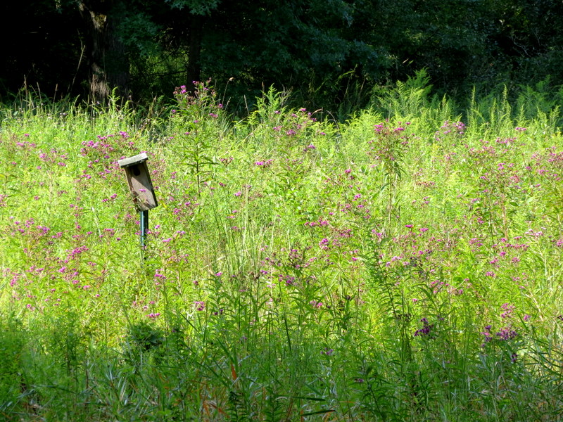
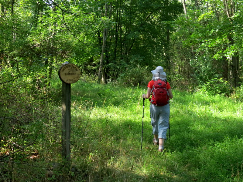
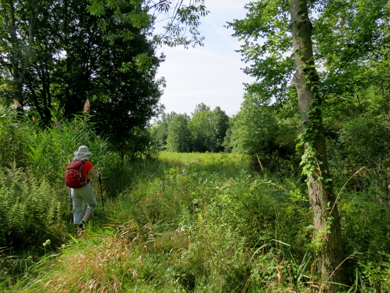
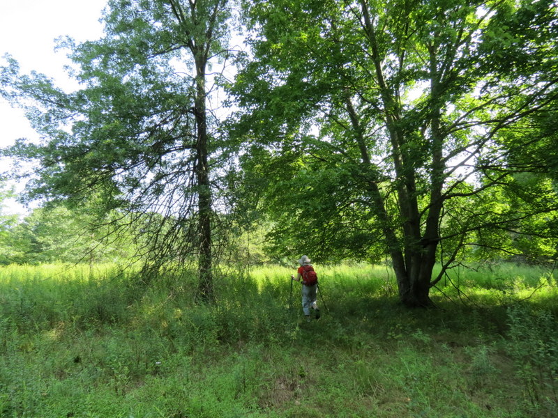
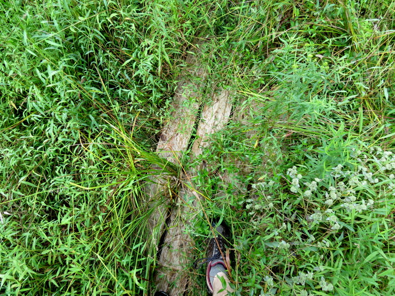
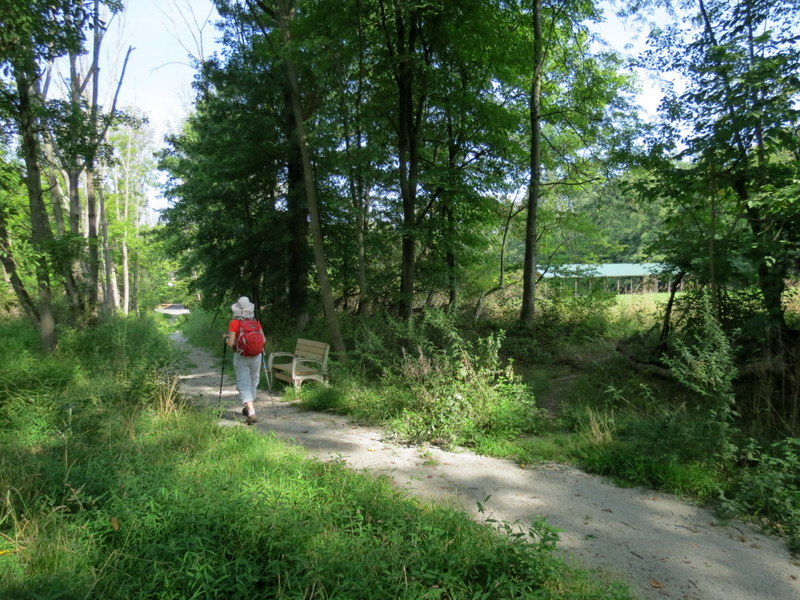
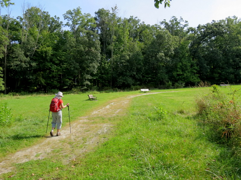
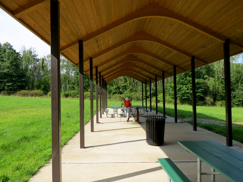
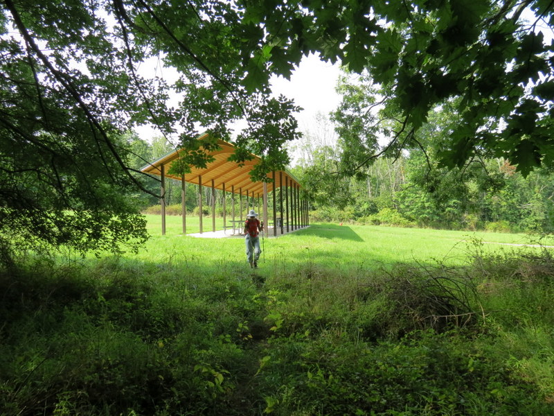
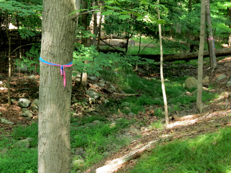
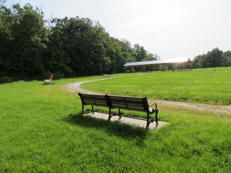
So we parked at the end of Locust Avenue (north of the gate on the shoulder of Locust Avenue, cars are not allowed beyond the gate) and first hiked the the Lenape Trail (the first trail in the notes above) all the way to CR527, retracing our steps back to the second trail mentioned in those notes, called the Bluebird Trail in the park itself (you can see the attractive photo in eighth row of photos). This trail disappeared into a meadow of overgrowth almost immediately. We were able to continue by following sporadic small boardwalks but eventually turned back because the "trail" seemed to be heading back east to the Lenape Trail instead of west to Riker Park. So next we tried finding the third hike described in the notes. No luck there either. Just east of the picnic area we did find many trees with ribbons but there didn't seem to be any noticeable trail between any of them. So, unable to hike any more in Becker Park, we returned to the car and hiked the other half of the area after a five minute drive. Total distance today was about 2 miles in about 70 minutes.
|
 |
 |
 |
 |
 |
 |
 |
 |
 |
 |
 |
 |
 |
 |
 |
 |
 |
 |
 |
 |
 |
 |
 |
 |
 |
 |
 |
 |
 |
 |
 |
 |
 |
 |
 |
 |
 |
 |
 |
 |
 |
 |
 |
 |

|
|
Photographs and content copyright © Dan Balogh Web design by Dan Balogh |