 |
|
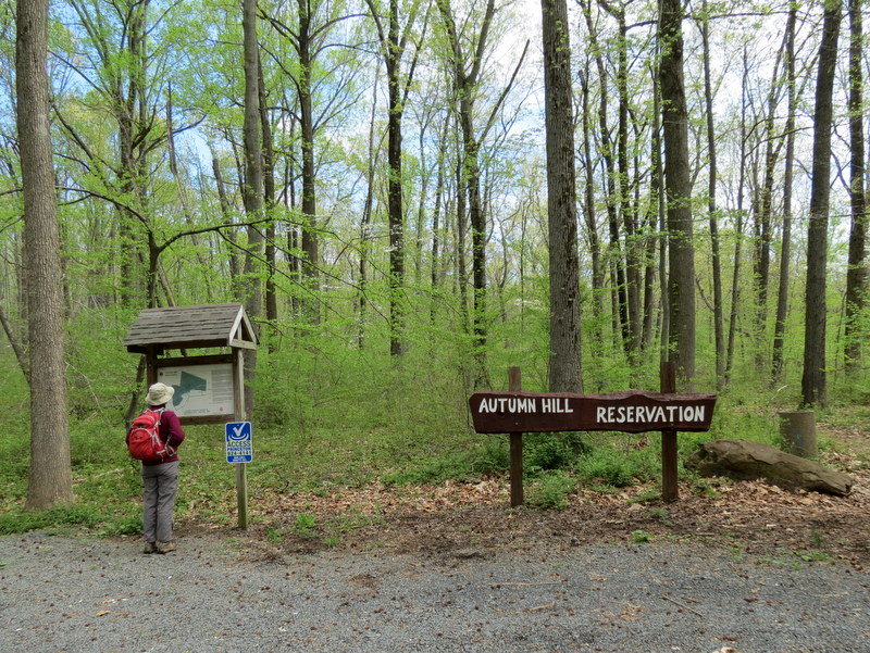
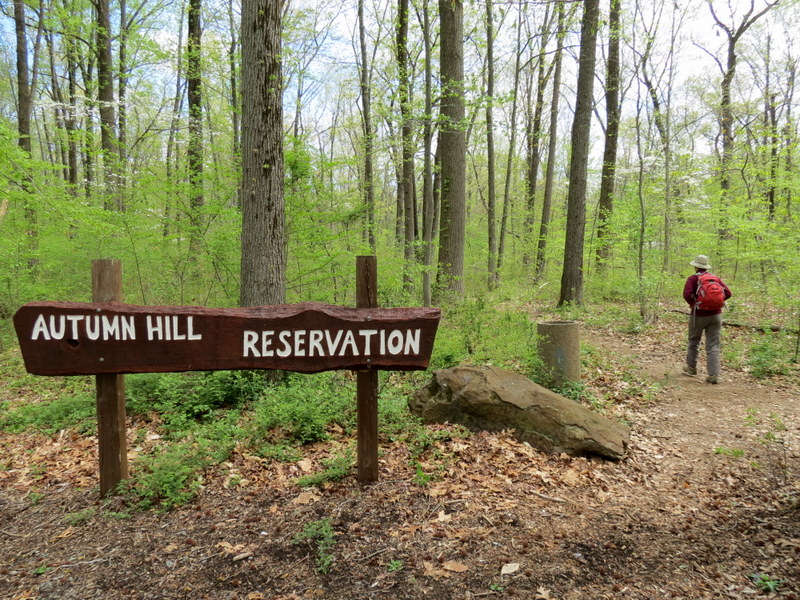
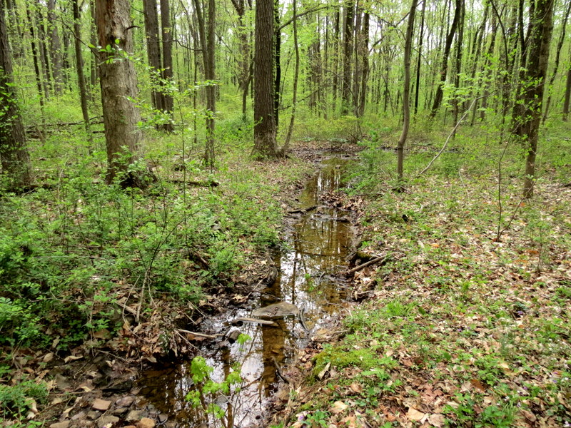
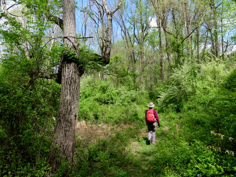
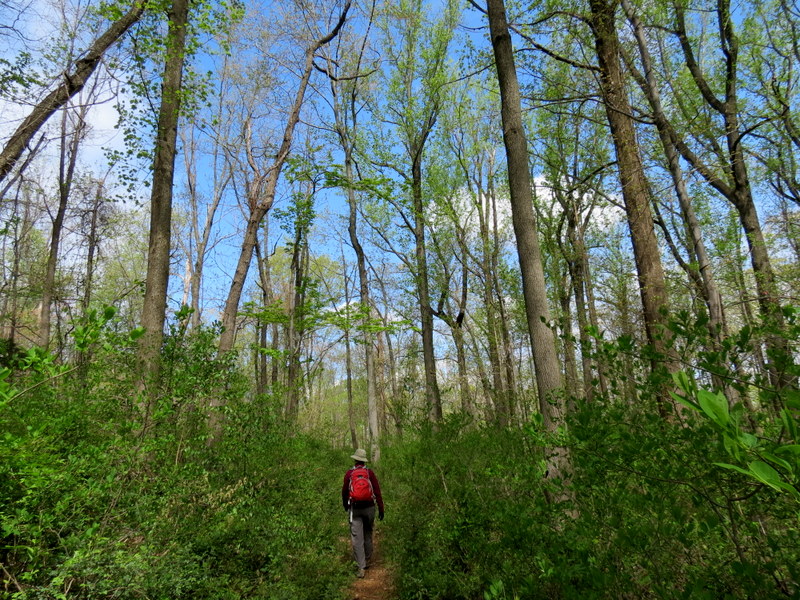
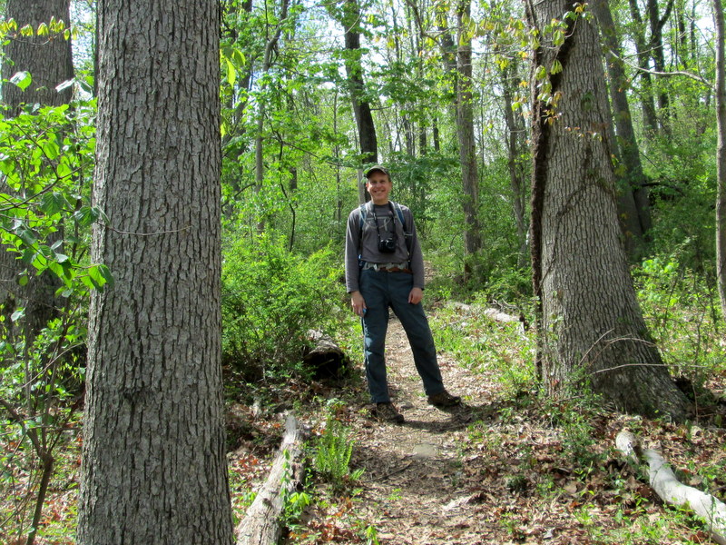
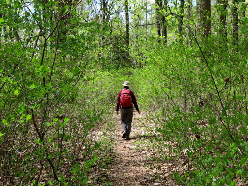
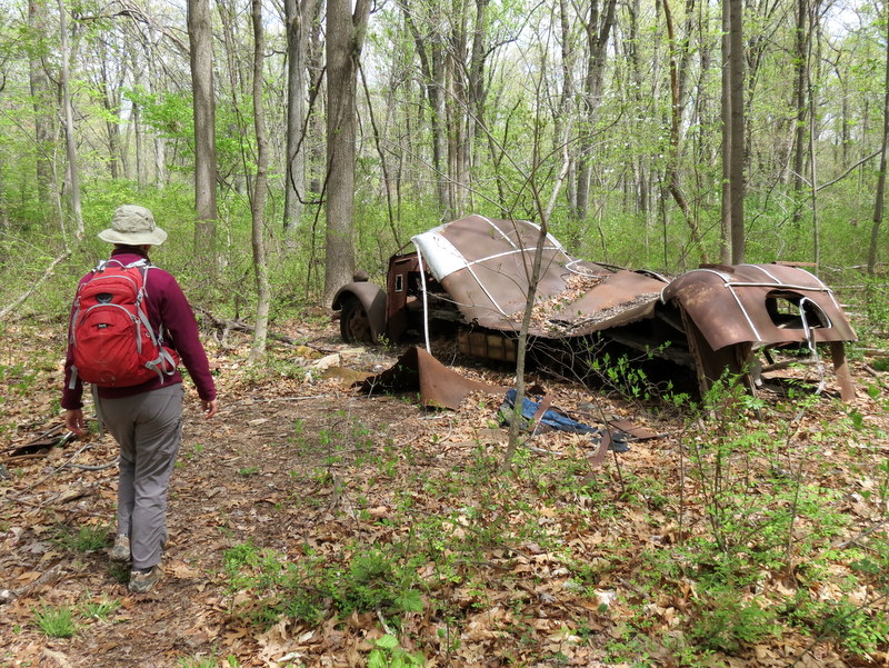
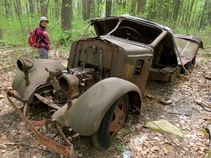
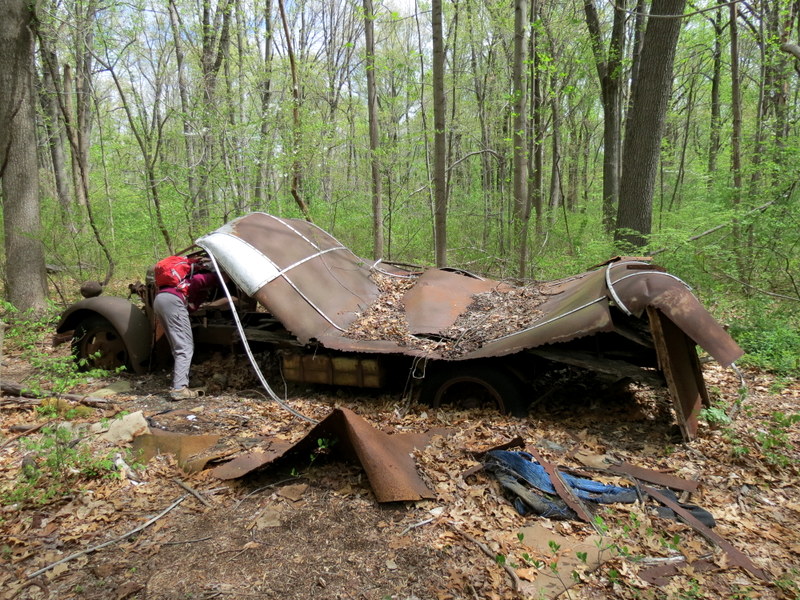
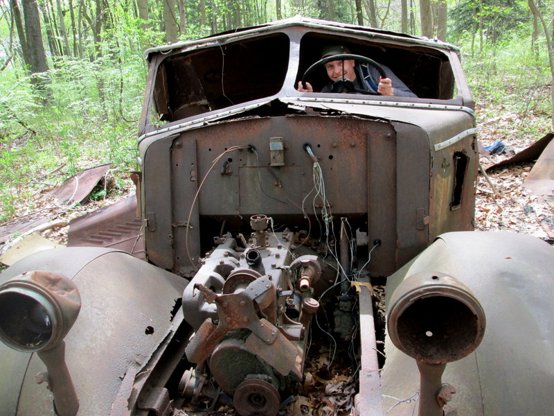
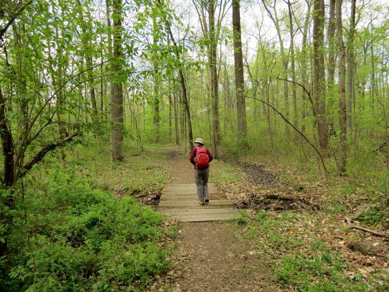
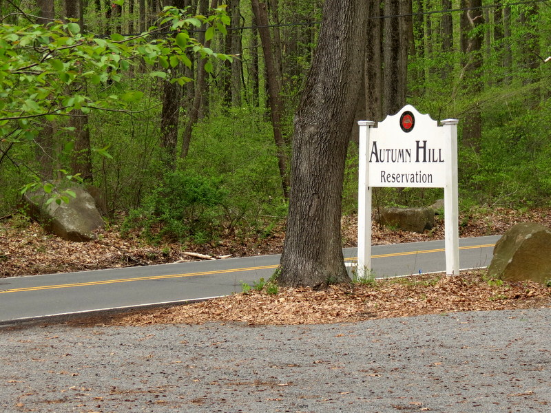
Continuing our exploration of the smaller preseves of Central New Jersey, today we headed south to visit two more. This is the second.
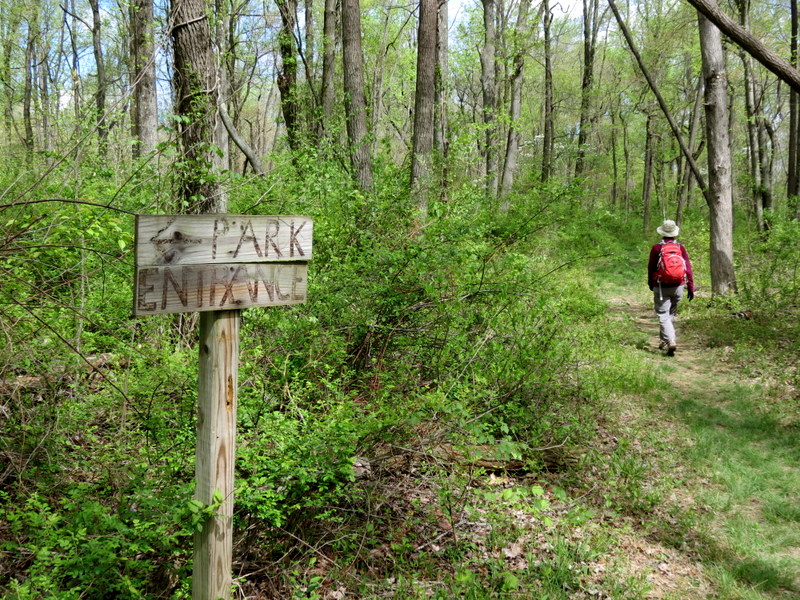
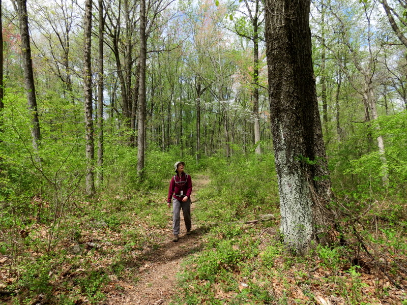
It's a beautiful area with a good-sized parking lot suitable for at least ten cars (though we were the only car at the beginning and at the end).
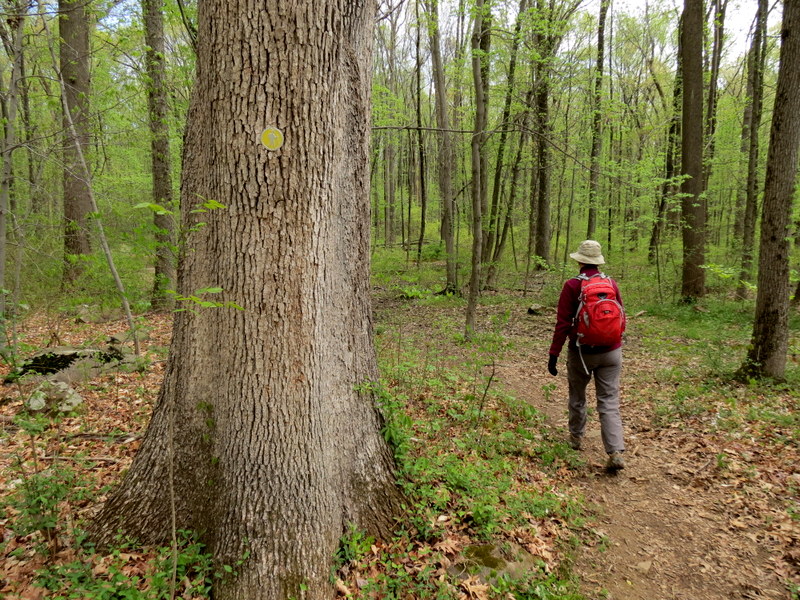
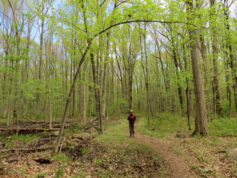
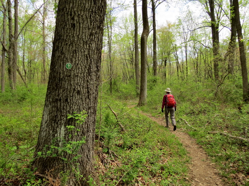
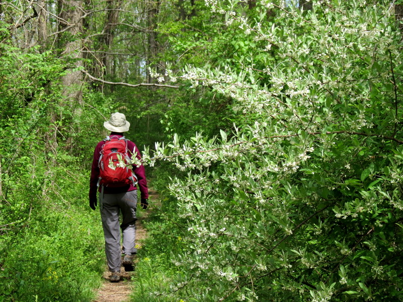
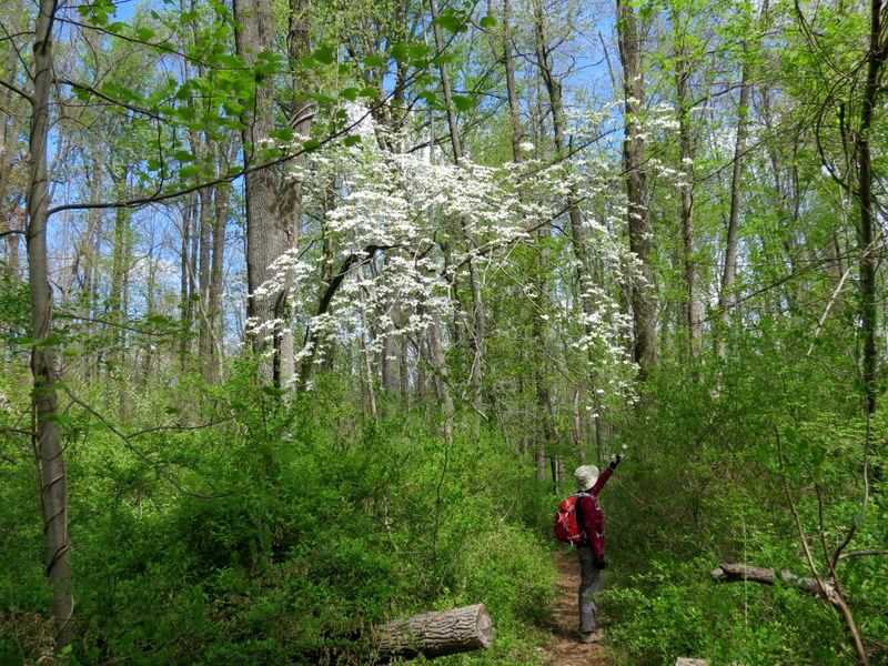
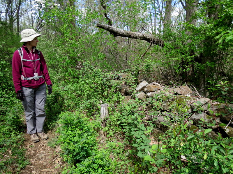
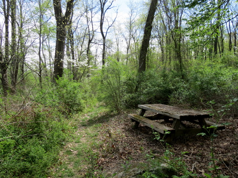
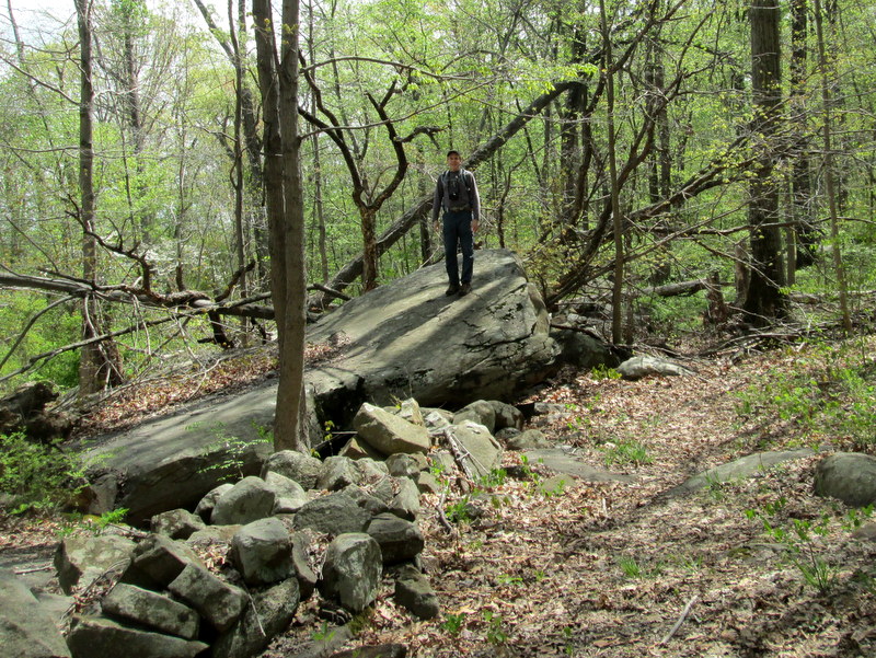
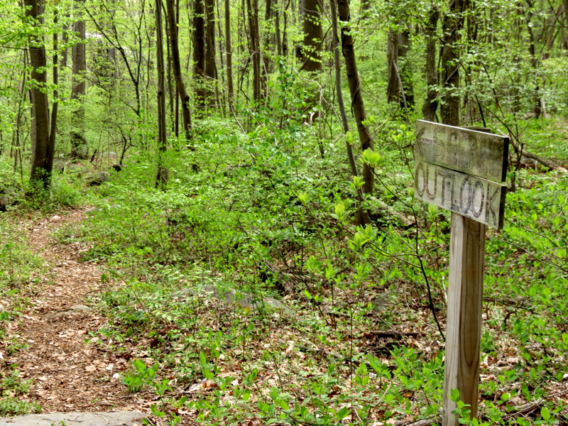
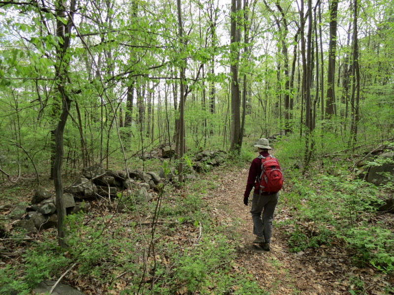
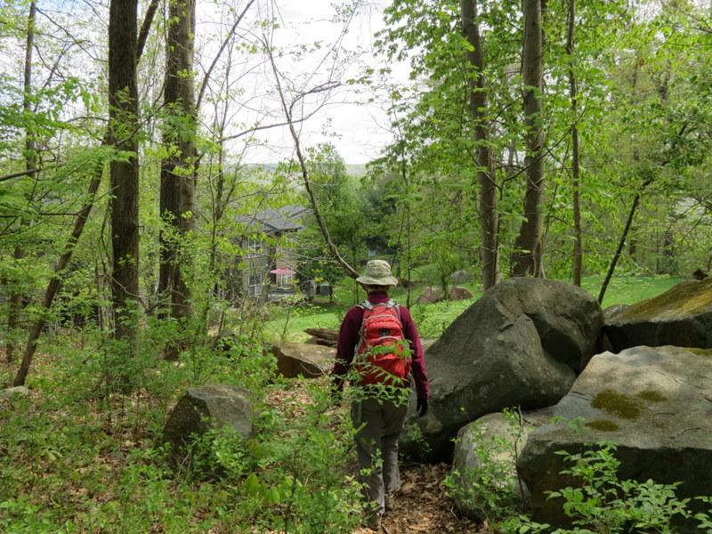
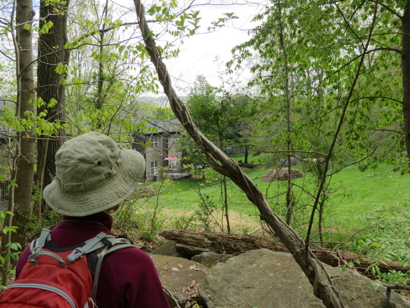
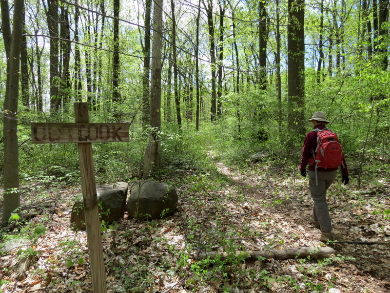
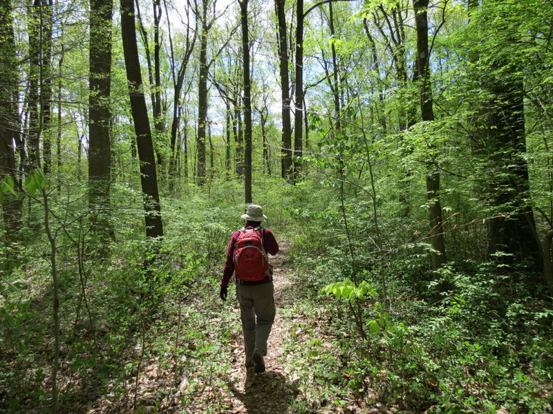
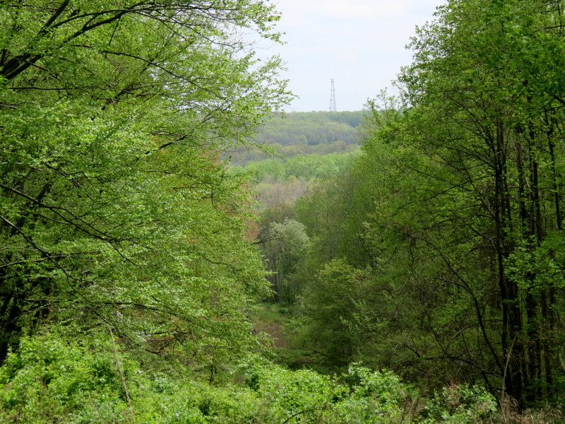
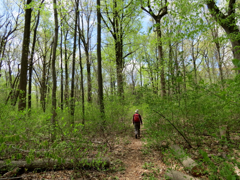
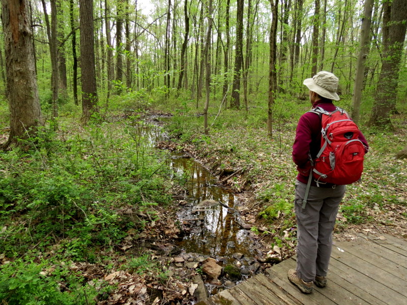
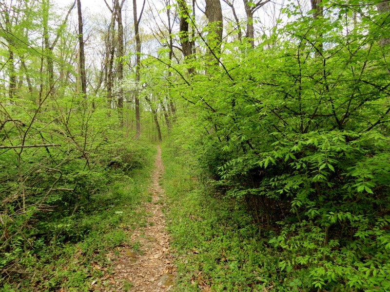
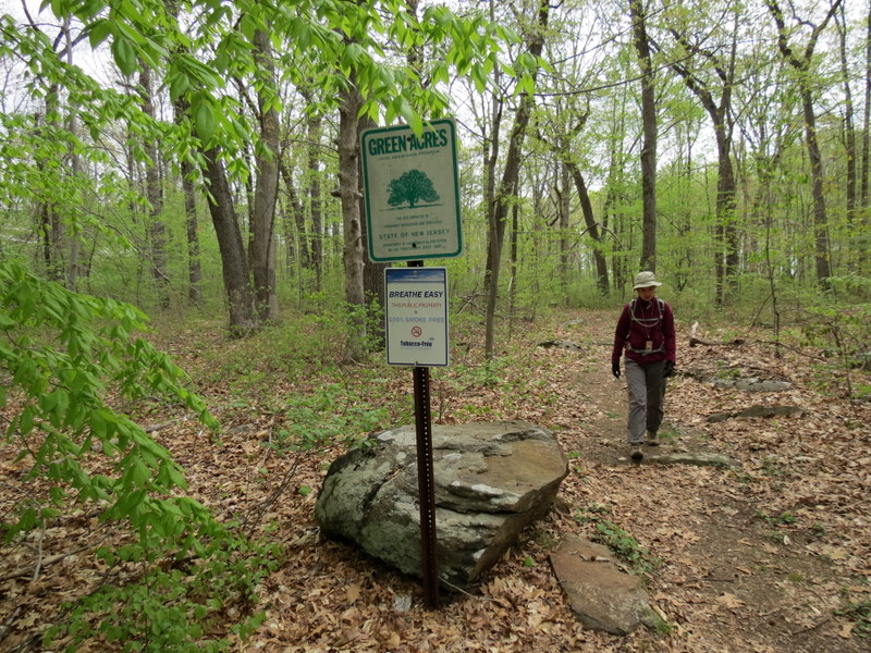
Using this map, we hiked just about every trail in the reserve, which meant that we had to retrace a couple of small legs. A word of warning about the map. First, there are several trails not on the map. We started following one at the NW corner, descending the hill, until I noticed that it was heading to a residential area and we turned back. Second, the map shows the northern trail as being situated north of the Stone Wall. But it's just south of it. In fact, you can touch the wall along that entire trail. Third, the "overlook" denoted on the map is a view to two backyards. You can see mountains over the roofs, but it's not the best overlook. You can get a nicer view in the pipeline cut at the SE tip. Finally, the numerous picnic benches on the middle trail, denoted on the map, are no longer there. Total distance hiked was about 2.3 miles in about an hour and 15 minutes. You can see our track here.
|
 |
 |
 |
 |
 |
 |
 |
 |
 |
 |
 |
 |
 |
 |
 |
 |
 |
 |
 |
 |
 |
 |
 |
 |
 |
 |
 |
 |
 |
 |
 |
 |
 |
 |
 |
 |
 |
 |
 |
 |
 |
 |
 |
 |

|
|
Photographs and content copyright © Dan Balogh Web design by Dan Balogh |